The best mountain hikes around Volders
4.7
(115)
1,707
hikers
93
hikes
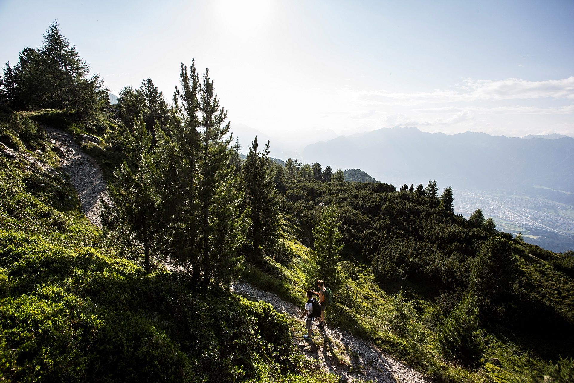
Mountaineering routes around Volders are situated in the heart of Tyrol, Austria, offering diverse terrain within the Tux Alps and the broader Tyrolean mountain ranges. The region is characterized by majestic Alpine scenery, with access to numerous peaks and the ascending Voldertal valley. This landscape provides a blend of challenging ascents, pristine valleys, and extensive trail networks for various levels of outdoor enthusiasts.
Best mountaineering routes around Volders
- The most popular mountaineering route is Glungezer Hut – Glungezer loop from…
Last updated: September 27, 2026
4.6
(8)
99
hikers
7.02km
04:07
610m
600m
Hard mountaineering route. Good fitness required. Sure-footedness, sturdy shoes and alpine experience required.
3.0
(1)
69
hikers
8.46km
04:20
800m
800m
Moderate mountaineering route. Good fitness required. Mostly accessible paths. Sure-footedness required.

2.0
(1)
41
hikers
Hard mountaineering route. Very good fitness required. Mostly accessible paths. Sure-footedness required.
5.0
(4)
32
hikers
7.68km
03:53
620m
610m
Hard mountaineering route. Good fitness required. Sure-footedness, sturdy shoes and alpine experience required.
5.0
(1)
17
hikers
10.0km
06:00
1,230m
1,230m
Hard mountaineering route. Very good fitness required. Sure-footedness, sturdy shoes and alpine experience required.
Get access to more routes and recommendations from other explorers.
Already have an account?
Our route recommendations are based on thousands of hikes, rides, and runs completed by other people on komoot.
Start today with a free account
Your next adventure awaits.
Popular around Volders
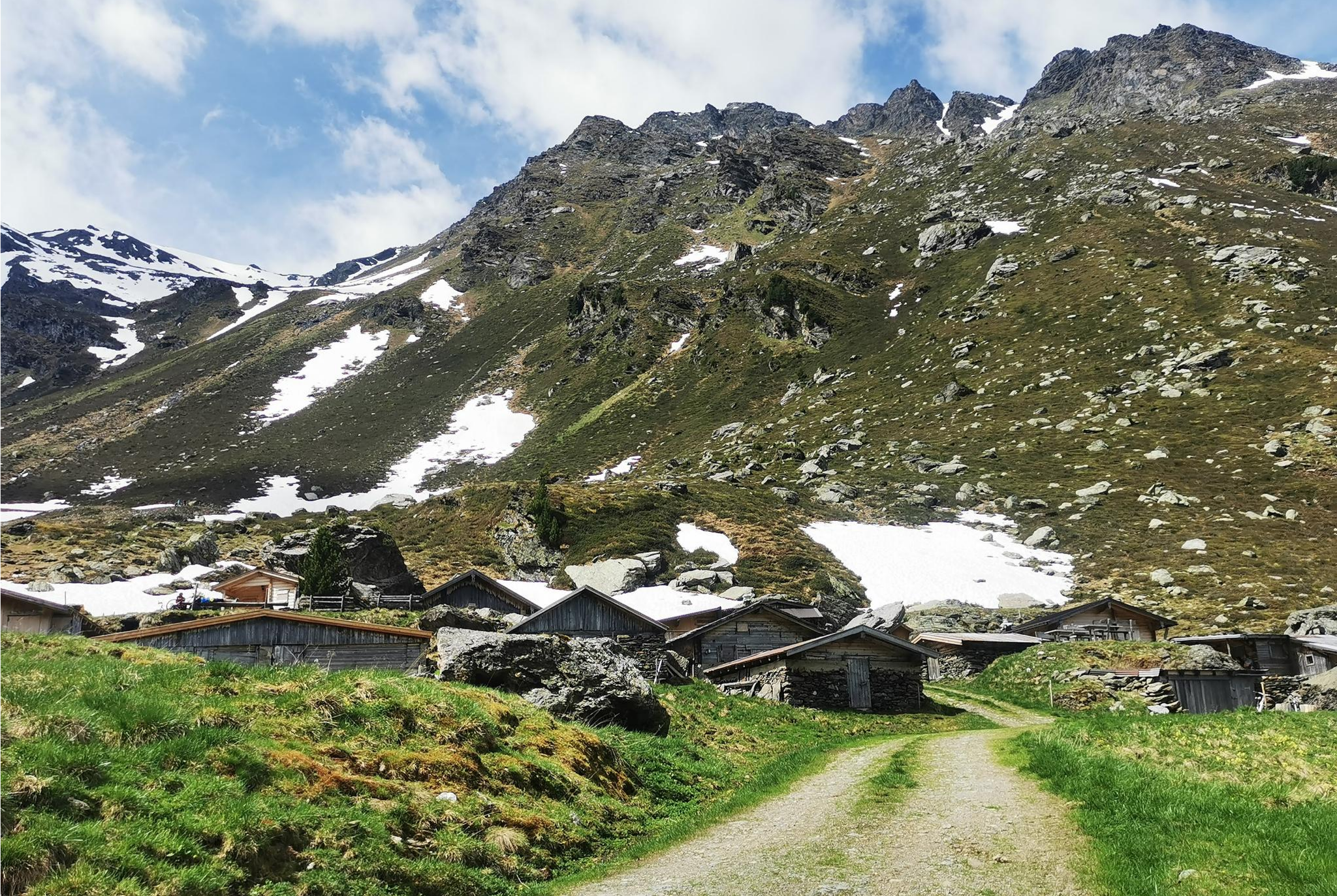
From Alm to Alm – superb hikes in the Hall-Wattens Region
The most beautiful autumn hikes in Hall-Wattens
For foodies, adventurers and families – MTB Paradise Hall-Wattens
Hike hut to hut in Austria – foodie Tours in the Hall-Wattens region
Pines & peaks in the Tyrolian holiday region Hall-Wattens
Road Cycling Routes around Volders
Cycling around Volders
Hiking around Volders
MTB Trails around Volders
Running Trails around Volders
Other adventures around Volders

Tips from the Community

History of the founding of St. Martin in Gnadenwald As early as the 11th century, a hunting lodge with a chapel in honor of St. Martin is said to have stood on the site of the present-day monastery. The first documented mention dates back to 1337 in a will of the Tyrolean court master Heinrich von Rottenburg. A second mention occurred in 1382. Around the same time or not long after, a hermitage was also founded here, inhabited by two forest brothers. The daughter Magdalena Getzner of the wealthy Hall citizen Jörg Perl entered the monastery of St. Magdalena in Halltal together with her daughter in 1486. This was possible because her father annually donated a considerable sum to the monastery of St. Magdalena. The daughter of Magdalena Getzner, also named Magdalena, had health problems, probably a mental disability, which is why the bishop allowed her to leave the monastery of St. Magdalena and settle in a healthy location in monastic habit. Magdalena Getzner and her daughter now chose St. Martin in Gnadenwald as their new place of residence. This is evidenced by a document from 1497 from the parish archive of Baumkirchen. In addition, some sisters went with them to St. Martin, so that a monastery was established there, of which Magdalena Getzner the Elder became the abbess. On October 7, 1520, the Augustinian monastery in St. Martin in Gnadenwald burned down. The 30 nuns found refuge in the St. Salvator chaplaincy in Hall and remained there until 1566. The era of the Peasants' Wars and the Reformation was not the age for rebuilding burnt-down monasteries. Thus In 1826, the entire chapel was renovated, and in 1836 it received a new high altar with an altarpiece, presumably by Arnold Schöpf. The frescoes by Milldorfer remained. During the Nazarene period, the small monastery received its Christmas nativity scene with figures over 80 cm tall. In 1935, the Tertiary Sisters from Hall moved into the long-vacant cells and operated a guesthouse here from 1939 onwards. This was a valuable place of rest for pilgrims during their journey. Unfortunately, the rental was discontinued in 2019, and the Tertiary Sisters no longer live in the monastery. Text / Source: Hall-Wattens Tourism, Unterer Stadtplatz 19, Hall in Tirol https://www.hall-wattens.at/de/st-martin-in-gnadenwald.html
14
0
Kloster St. Martin in Gnadenwald That St. Martin in Gnadenwald was chosen as one of our places of power is actually self-evident. When you arrive there, you already feel the special aura of this place. Primarily, St. Martin is a place of recreation - both physical and mental. In our fast-paced times, "finding peace" is extremely important. The Cretan or classical stone labyrinth positioned to the left below the monastery symbolizes the human life path. Labyrinths have been found in many cultures for over 5000 years and are shaped by the need for inner peace and home. Text / Source: Hall-Wattens Tourismus, Unterer Stadtplatz 19, Hall in Tirol https://www.hall-wattens.at/de/st-martin-in-gnadenwald.html
14
0

Incredible views and perfect seating on the longest pine bench in the world
0
0

beautiful hiking trails, lots of benches, varied terrain, simply great
1
0

On the Hirschvogelsteig you reach the 2,639 meter high Sonnenspitze. From here you have a great panorama of the Tux Alps.
1
0

Altitude: 2677 m above sea level. The name "Glungezer" (historically also spelled Glunggezer) probably comes from an onomatopoeic imitation of gurgling water. In a hollow above the Tulfeinalm, but also in other places, the water flows, sometimes invisibly gurgling, between and under the boulders. Wikipedia
0
0

Very worth seeing, you have to see it
1
0

It's worth stopping here. Both the food and the service are great. We like going to this hut and have never been disappointed.
0
0
Frequently Asked Questions
How many mountaineering routes are available in Volders?
Volders offers a wide selection of mountaineering routes, with over 100 trails to explore. These routes cater to various skill levels, from moderate mountain hikes to more challenging ascents, all set within the stunning Tyrolean Alps.
Are there any easy mountaineering routes for beginners in Volders?
While many routes in Volders are challenging, there are moderate options suitable for those with some experience or good fitness. For example, the Largozalm – Largoz Summit loop from Schutzzone Rothirsch/Reh is a moderate 8.4 km path that leads to the Largoz Summit, offering panoramic views without extreme difficulty. Another moderate option is the Zirben Reservoir loop from Oberlavierenbad, a shorter 4.0 km route.
What kind of terrain and elevation can I expect on mountaineering routes in Volders?
Mountaineering in Volders is characterized by diverse Alpine scenery, ranging from the ascending Voldertal valley to the peaks of the Tux Alps. You can expect significant elevation gains, with routes like the Zirben Reservoir – Tulfeinalm loop from Tulfes featuring over 1,300 meters of ascent over 20.6 km, leading through high alpine terrain. Even shorter routes like the Glungezer Hut – Glungezer loop from Tyrol involve over 600 meters of climbing through alpine landscapes.
What are the best times of year for mountaineering in Volders?
The best time for mountaineering in Volders is typically from late spring through early autumn (May to October) when the trails are clear of snow and weather conditions are generally stable. During winter, the region transforms into a popular spot for ski touring, offering different types of mountain experiences.
Are there any circular mountaineering routes in Volders?
Yes, Volders offers several excellent circular routes. Popular options include the Glungezer Hut – Glungezer loop from Tyrol, which is a challenging 7.4 km route, and the moderate Largozalm – Largoz Summit loop from Schutzzone Rothirsch/Reh, spanning 8.4 km. These loops allow you to experience varied landscapes and return to your starting point.
What landmarks or natural features can I see along the mountaineering routes in Volders?
The region around Volders is rich in natural beauty and historical sites. Along your mountaineering routes, you might encounter stunning mountain passes like Geiseljoch or East Lamsenjoch. The area also features picturesque gorges and valleys such as Wipptal and the Farbental Valley. For cultural interest, historical attractions like Friedberg Castle and Aschach Castle are also nearby.
Are there any family-friendly mountaineering options in Volders?
While many mountaineering routes are demanding, the diverse landscape around Volders includes options suitable for families with some hiking experience. The Voldertal valley itself features a network of marked trails, and some moderate mountain hikes are available. Always check the specific route's difficulty and length to ensure it aligns with your family's capabilities.
What do other mountaineers enjoy most about the routes in Volders?
The mountaineering routes in Volders are highly rated by the komoot community, with an average score of 4.8 stars from over 120 reviews. Reviewers often praise the majestic Alpine scenery, the diverse terrain of the Tux Alps, and the pristine nature of the Voldertal valley, which provides a stunning backdrop for longer treks and challenging ascents.
Are there opportunities for wildlife spotting while mountaineering in Volders?
Yes, the remote and pristine nature of the Voldertal valley and the surrounding Tux Alps provides excellent opportunities for wildlife spotting. Keep an eye out for local Alpine fauna as you traverse the trails, especially in less crowded areas and during quieter times of day.
Where can I find parking or access routes via public transport for mountaineering in Volders?
Volders is well-situated in Tyrol, and many trailheads are accessible. Specific parking information is usually available on individual route pages. For public transport, Volders is approximately 15 kilometers east of Innsbruck, making it reachable by regional buses. The Voldertal valley serves as a gateway to many trails, and public transport options often connect to key starting points.
Are there any less crowded mountaineering paths in Volders?
While popular routes attract many visitors, the extensive network of trails in Volders means you can often find less crowded paths, especially if you venture further into the Voldertal valley or choose longer, more challenging routes. Exploring during off-peak hours or weekdays can also enhance the sense of solitude.
Are there cafes or pubs near the mountaineering trails in Volders?
Yes, the region around Volders offers various amenities. While specific cafes or pubs directly on every trail might be limited, you'll find options in Volders itself and in nearby villages. Some routes may also pass by mountain huts (Almen) where you can enjoy refreshments and traditional Tyrolean food during the hiking season.
Most popular attractions around Volders

Get inspired with the komoot mobile app


Explore more
Browse the best Mountain Hikes & Routes in other regions.
