The best mountain hikes around Nußdorf-Debant
4.9
(23)
332
hikers
10
hikes
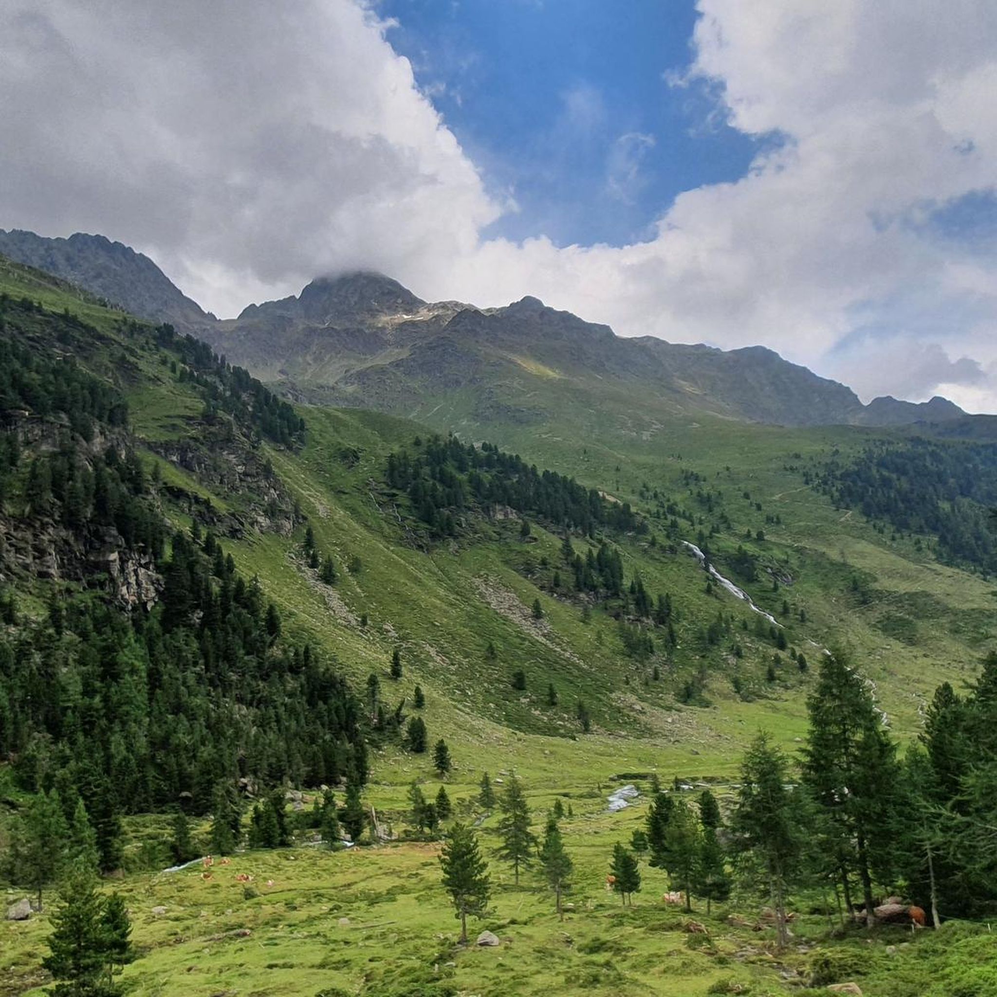
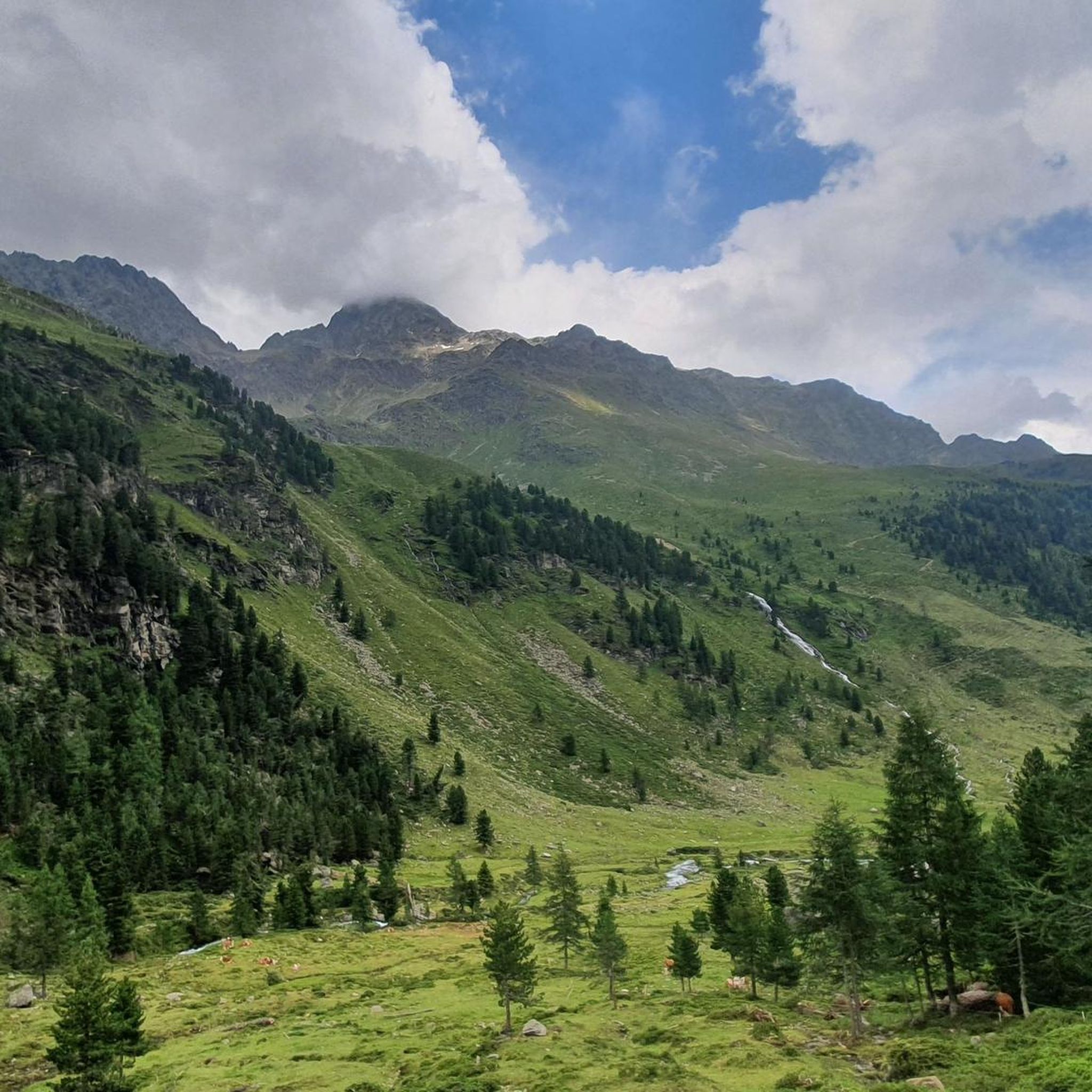
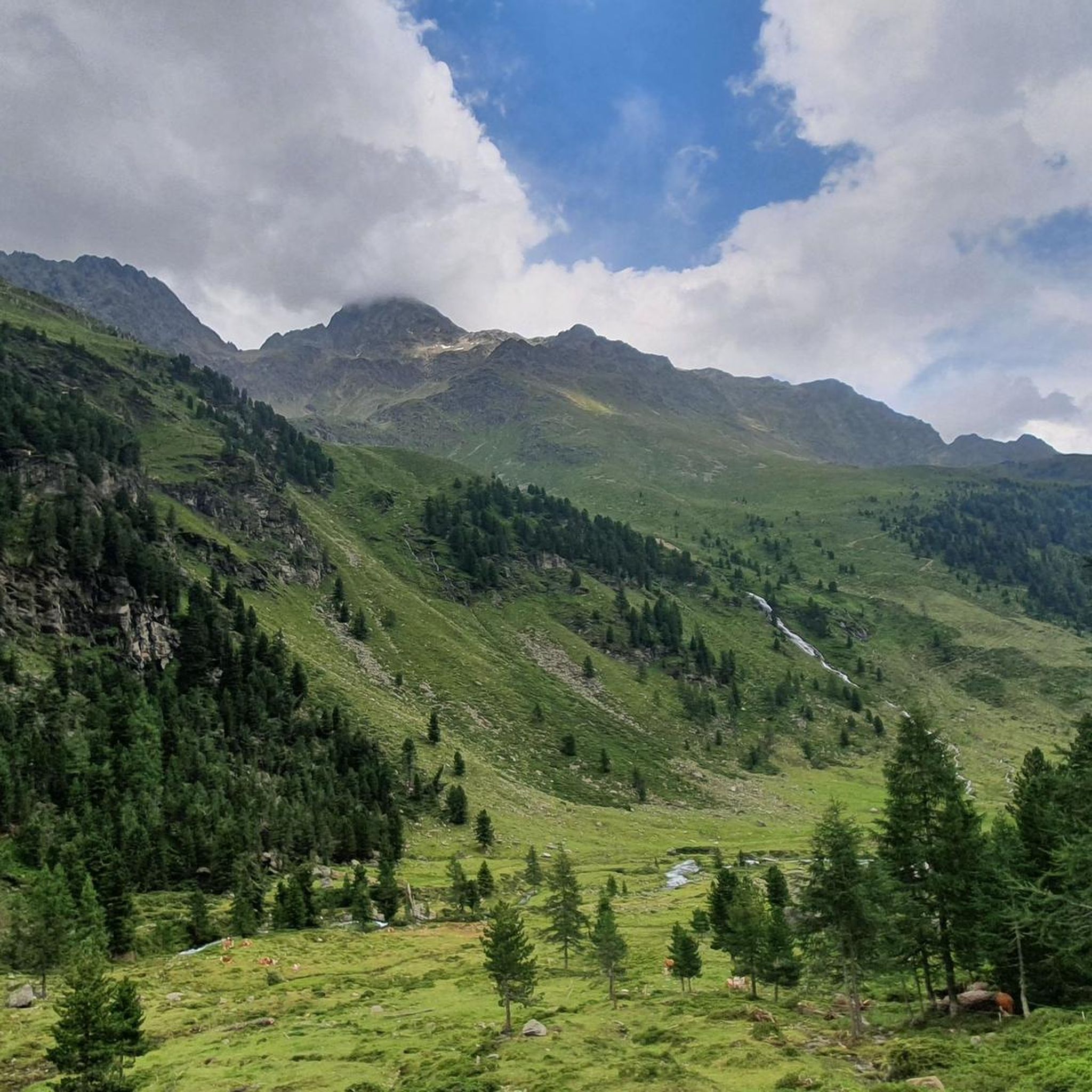
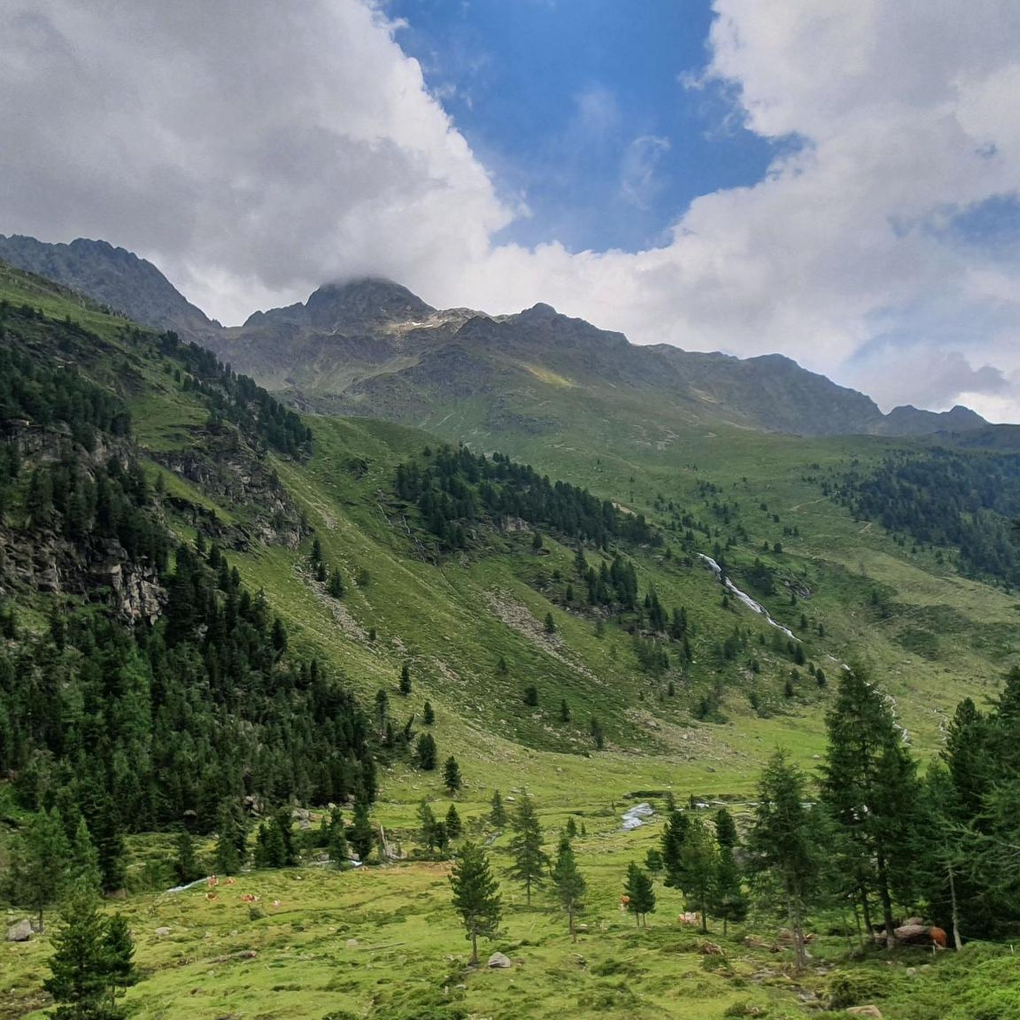
Mountaineering routes around Nußdorf-Debant are situated in East Tyrol, Austria, with a significant portion lying within the Hohe Tauern National Park. The region is characterized by the dramatic mountainous backdrop of the Lienz Dolomites and the extensive Debanttal Valley. Peaks within the Schober Group, such as Glödis and Hoher Perschitzkopf, define the challenging alpine terrain.
Best mountaineering routes around Nußdorf-Debant
- The most popular mountaineering route is Lienzer Hütte – Glödis Summit (3,206 m) loop from Seichenbrunn, a 9.96 miles…
Last updated: September 28, 2026
4.9
(12)
140
hikers
15.8km
08:10
1,320m
1,310m
Hard mountaineering route. Very good fitness required. Sure-footedness, sturdy shoes and alpine experience required.
5.0
(3)
67
hikers
9.58km
05:03
840m
840m
Hard mountaineering route. Very good fitness required. Mostly accessible paths. Sure-footedness required.

5.0
(1)
49
hikers
9.38km
06:44
1,100m
1,100m
Hard mountaineering route. Very good fitness required. Sure-footedness, sturdy shoes and alpine experience required.
5.0
(2)
19
hikers
14.9km
06:35
880m
880m
Hard mountaineering route. Very good fitness required. Mostly accessible paths. Sure-footedness required.
4.5
(2)
15
hikers
12.6km
07:39
1,200m
1,190m
Hard mountaineering route. Very good fitness required. Sure-footedness, sturdy shoes and alpine experience required.
Get access to more routes and recommendations from other explorers.
Already have an account?
Our route recommendations are based on thousands of hikes, rides, and runs completed by other people on komoot.
Start today with a free account
Your next adventure awaits.
Popular around Nußdorf-Debant
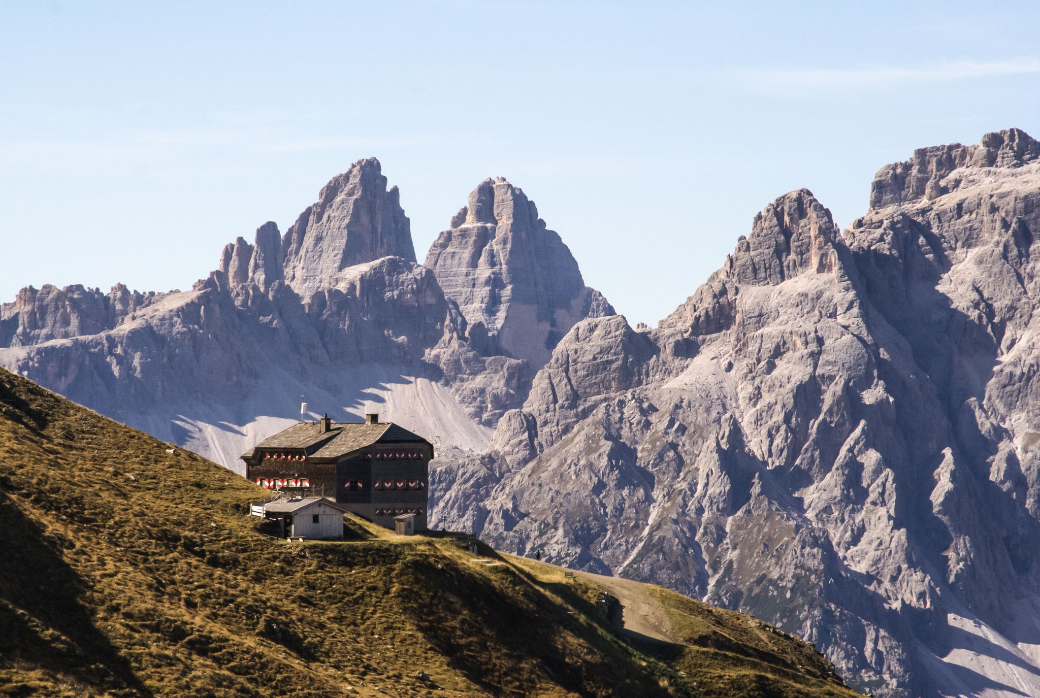
Alpine bliss on the long-distance hiking trails in East Tyrol
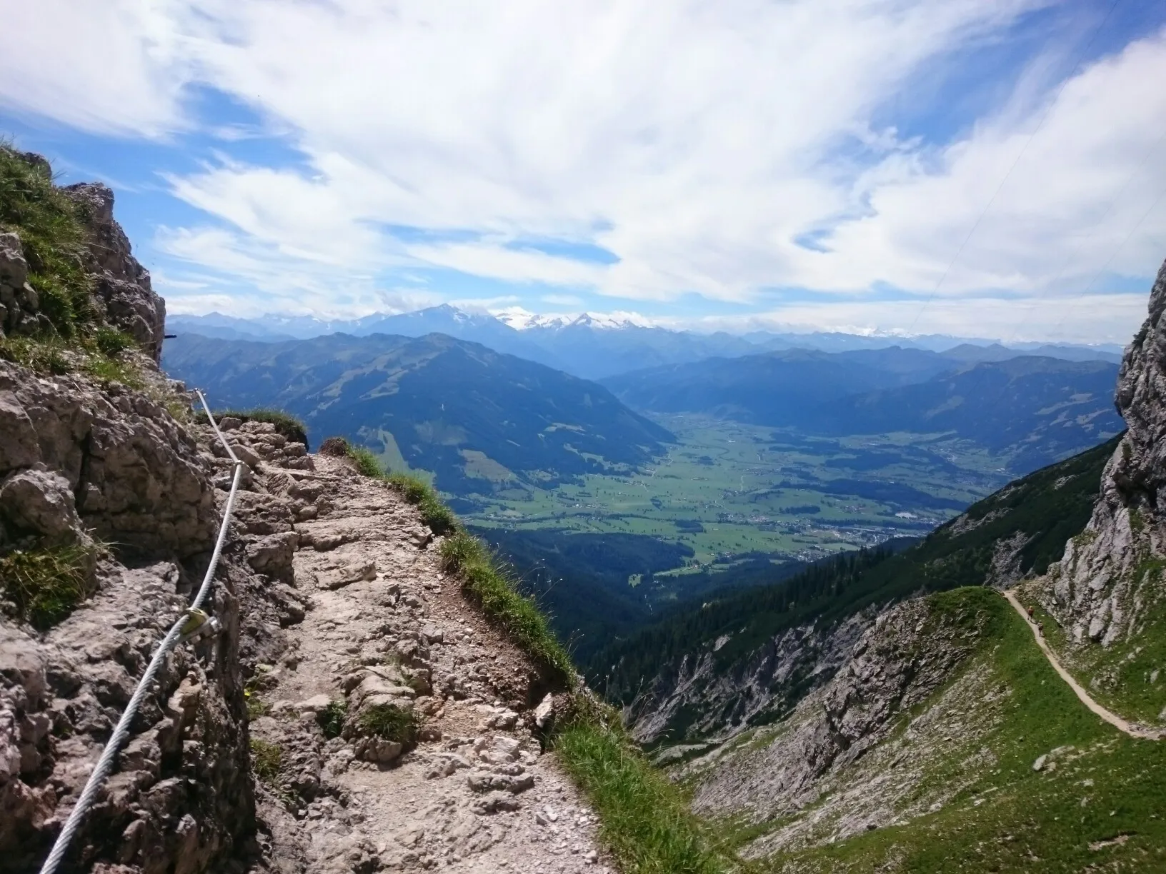
Alpine Crossing — 9 days across the Alps to Lienz
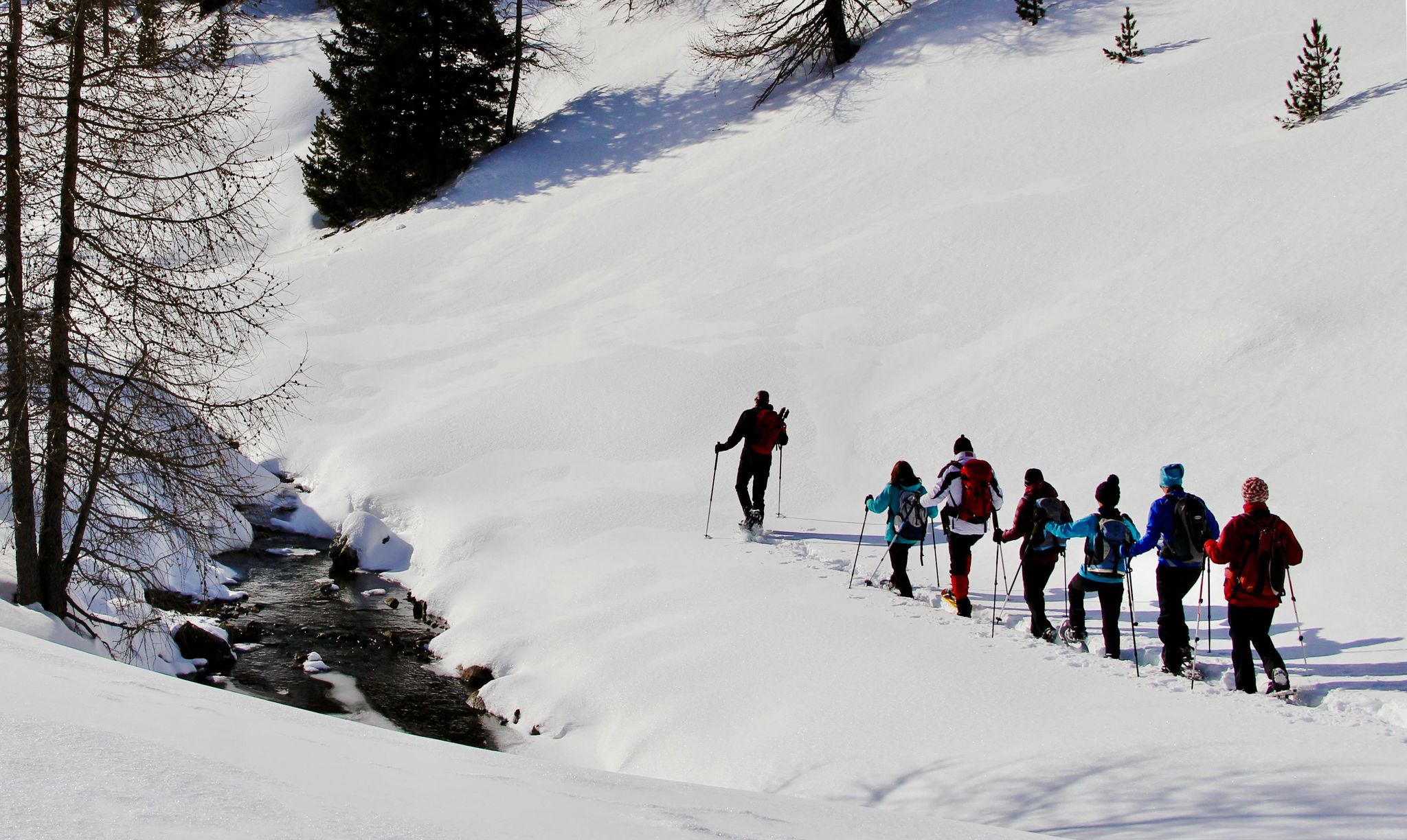
Snowshoe magic in East Tyrol
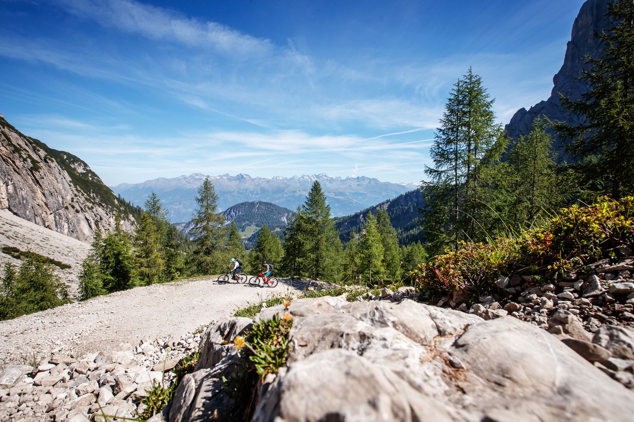
Zehn fantastische Touren durch das Mountainbike-Paradies Osttirol
Hiking around Nußdorf-Debant
Road Cycling Routes around Nußdorf-Debant
MTB Trails around Nußdorf-Debant
Cycling around Nußdorf-Debant

Gravel biking around Nußdorf-Debant
Running Trails around Nußdorf-Debant
Other adventures around Nußdorf-Debant


Tips from the Community

It is NOT recommended to ascend or descend the Hochschober from the eastern route, as the terrain here poses a life-threatening danger due to various mudflows and rockfall (even for experienced mountaineers). Although it is said to be passable, it should urgently not be done. Via the western route up to the summit, there are some challenging climbing sections, which are however manageable.
0
0

scenically beautiful valley, the Debanttal
0
0
scenically beautiful valley, the Debanttal
0
0
magnificent valley, Debanttal
0
0
ideal starting point for all tours in the Schobergruppe
0
0
magnificent view, but a strenuous, stony path
0
0
Scenically beautiful path to the Lienzer Hütte
0
0

Beautiful, exposed via ferrata of category B.
0
0
Frequently Asked Questions
How many mountaineering routes are available in Nußdorf-Debant?
There are 10 dedicated mountaineering routes around Nußdorf-Debant listed on komoot. These routes primarily cater to experienced mountaineers, with 9 classified as difficult and 1 as moderate, offering a range of challenging ascents within the Hohe Tauern National Park and the Lienz Dolomites.
What kind of terrain can I expect on mountaineering routes in Nußdorf-Debant?
Mountaineering in Nußdorf-Debant primarily involves high alpine terrain. You'll encounter dramatic peaks of the Lienz Dolomites and the rugged Schober Group, including ascents to summits like Glödis. The routes often traverse challenging landscapes, offering breathtaking views and demanding climbs.
Are there any circular mountaineering routes in the area?
Yes, several circular routes are available. For instance, the challenging Lienzer Hütte – Glödis Summit (3,206 m) loop from Seichenbrunn is a popular option, taking you to the prominent Glödis Summit. Another great choice is the Kreuzsee and Wangenitzsee – Wangenitzsee Hut loop from Seichenbrunn, which explores high alpine terrain and scenic lakes.
What are some notable peaks accessible from Nußdorf-Debant?
The region offers access to several impressive peaks. Glödis, often called the 'Matterhorn of East Tyrol,' is a prominent summit. Other notable peaks in the Schober Group include Hoher Perschitzkopf (3125m) and Böses Weibl, which, despite its name, is considered one of the easier 3,000-meter peaks with fantastic views of the Großglockner.
What do other mountaineers say about the routes in Nußdorf-Debant?
The mountaineering routes in Nußdorf-Debant are highly rated by the komoot community, with an average score of 5.0 stars from nearly 20 reviews. Mountaineers frequently praise the challenging ascents, the stunning high alpine landscapes, and the dramatic views of the Lienz Dolomites and Hohe Tauern National Park.
Are there any family-friendly mountaineering options or easier trails?
While most mountaineering routes in Nußdorf-Debant are classified as difficult, the region also offers a variety of hiking opportunities. For a less strenuous experience, the Nussdorfer Berg features an adventure trail suitable for families, leading across steps, forest roads, and meadows to higher farms. The Debanttal Valley also provides easier walking paths.
Can I bring my dog on the mountaineering trails?
The Hohe Tauern National Park, which encompasses a significant portion of Nußdorf-Debant, has specific regulations regarding dogs to protect wildlife. While dogs are generally permitted on trails if kept on a leash, it's always advisable to check the specific rules for the particular route or area you plan to visit within the National Park to ensure compliance and safety for your pet and local fauna.
What are some interesting natural features or landmarks to see along the routes?
The region is rich in natural beauty. You can encounter stunning mountain passes like Kerschbaumer Pass and Iselsberg Pass. The Debanttal Valley itself is a central feature, known as the longest self-contained alpine valley in Austria. You might also spot the View of the Großglockner from certain vantage points.
Are there any gorges or unique geological formations nearby?
Yes, the area boasts impressive gorges. The Galitzenklamm Gorge is a notable natural attraction, offering a dramatic landscape. You can also find the Ködnitzbach Suspension Bridge, which provides a unique perspective over the terrain, and the extensive Debanttal.
What is the best time of year for mountaineering in Nußdorf-Debant?
The best time for mountaineering in Nußdorf-Debant is typically during the summer months, from late June to early September, when the high alpine trails are generally free of snow and weather conditions are more stable. However, always check local weather forecasts and trail conditions before heading out, as mountain weather can change rapidly.
Are there any routes that pass by alpine lakes?
Absolutely. The Kreuzsee and Wangenitzsee – Wangenitzsee Hut loop from Seichenbrunn is an excellent choice for this, as it traverses high alpine terrain and passes by the scenic Kreuzsee and Wangenitzsee lakes, offering stunning reflections and serene resting spots.
How can I reach the starting points of these mountaineering routes?
Many mountaineering routes in Nußdorf-Debant, especially those leading into the Hohe Tauern National Park, often start from locations like Seichenbrunn. While specific public transport options to every trailhead might be limited, the region is generally accessible by car, with parking available at common starting points. It's advisable to research specific access points for your chosen route.
Most popular routes around Nußdorf-Debant
Most popular attractions around Nußdorf-Debant

Get inspired with the komoot mobile app


Explore more
Browse the best Mountain Hikes & Routes in other regions.
