The best mountain hikes around Nikolsdorf
4.9
(71)
821
hikers
42
hikes
Mountaineering routes around Nikolsdorf traverse the alpine landscapes of Bezirk Lienz, characterized by significant elevation changes, mountain peaks, and high-altitude trails. The region offers a variety of terrain, from forested slopes to open mountain ridges. These routes provide access to panoramic views and alpine environments.
Best mountaineering routes around Nikolsdorf
- The most popular mountaineering route is Round tour to the Hochstadel - discovery tours in the Hohe Tauern, a 5.4 miles (8.7 km) trail that takes 4 hours 20…
Last updated: May 12, 2026
5.0
(1)
17
hikers
8.66km
04:21
850m
840m
Moderate mountaineering route. Good fitness required. Mostly accessible paths. Sure-footedness required.
3.8
(4)
56
hikers
4.11km
02:52
390m
390m
Hard mountaineering route. Good fitness required. Sure-footedness, sturdy shoes and alpine experience required.

Sign up for free
5.0
(5)
19
hikers
Easy mountaineering route. Great for any fitness level. Easily-accessible paths. Suitable for all skill levels.
5.0
(3)
40
hikers
5.39km
03:49
490m
490m
Hard mountaineering route. Good fitness required. Sure-footedness, sturdy shoes and alpine experience required.
5.0
(3)
33
hikers
5.22km
03:15
400m
400m
Hard mountaineering route. Good fitness required. Sure-footedness, sturdy shoes and alpine experience required.
Get access to more routes and recommendations from other explorers.
Sign up for free
Already have an account?
Our route recommendations are based on thousands of hikes, rides, and runs completed by other people on komoot.
Start today with a free account
Your next adventure awaits.
Login or Signup

Tips from the Community

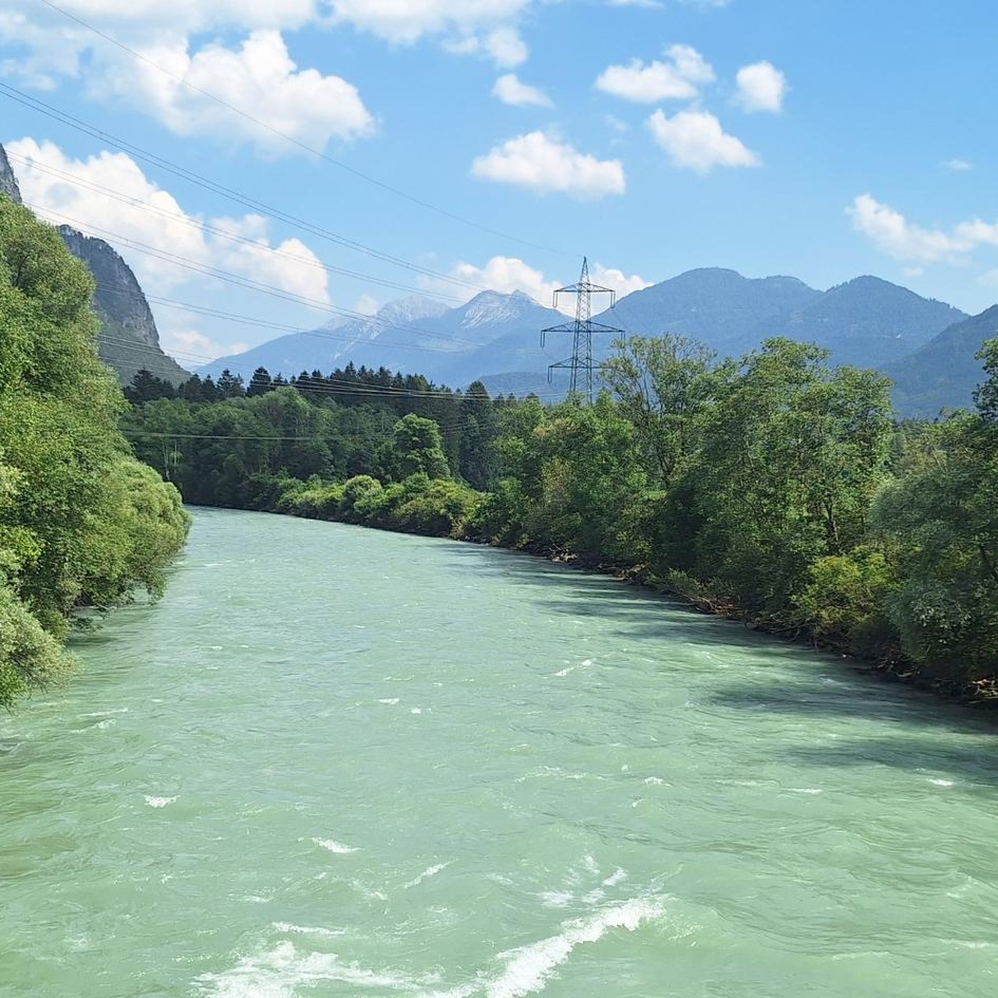
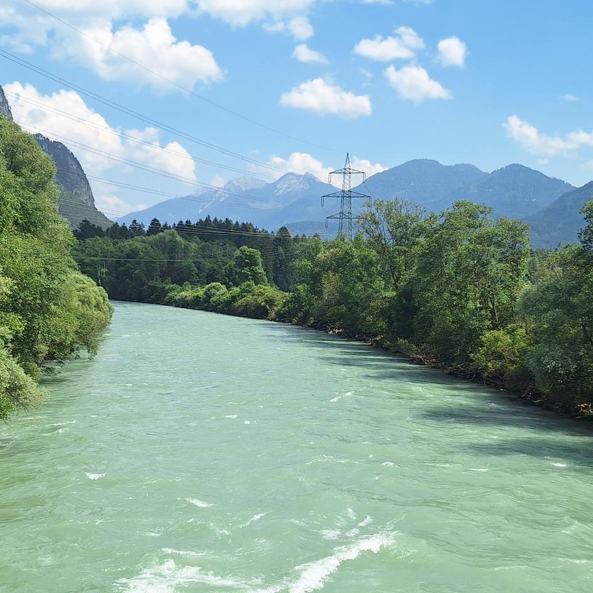
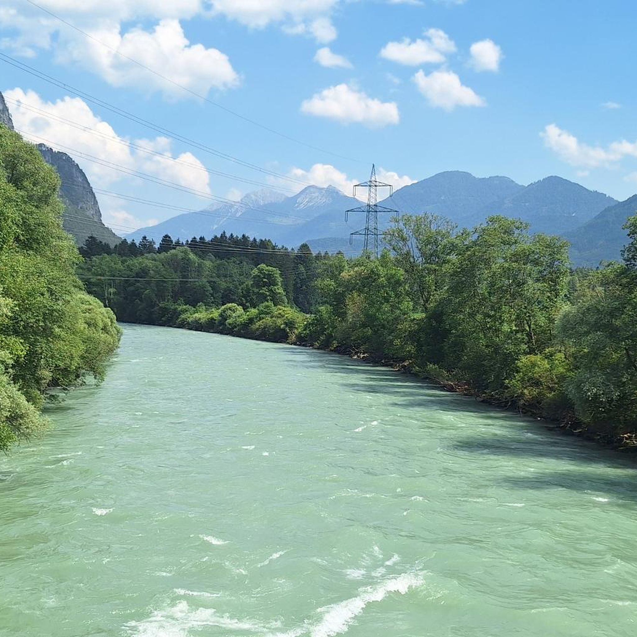
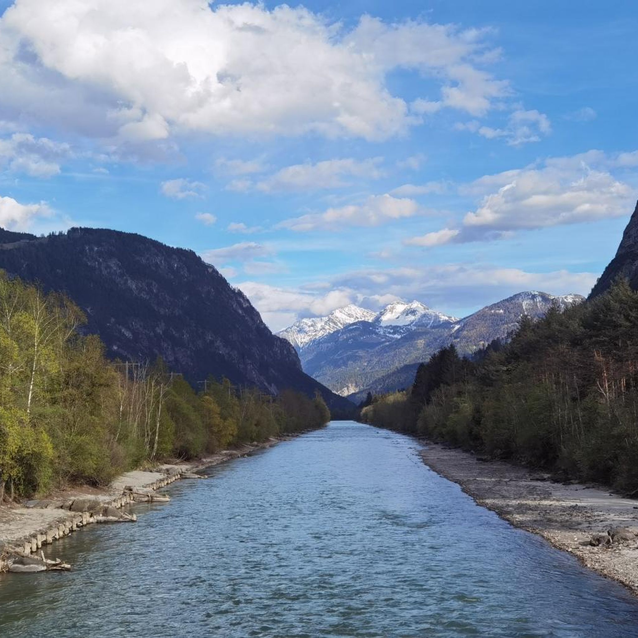
What is flowing there is the Pirkbach, which flows into the Drau. Not the Isel. And in Carinthia, wild camping is generally forbidden. If you don't want to get splashed by the farmer's slurry tanker at dawn, you'd better not spend the night here. 😉
1
0

magnificent viewpoint summit into the Kerschbaumer Valley and to the Karlsbader Hütte
0
0
fantastically located and well-managed hut with sensational views and excellent cuisine
0
0
here begins the most beautiful via ferrata in the difficulty category "D"
0
0
scenically beautiful transition from the Karlsbader Hütte to the Kerschbaumer Alm
0
0
super via ferrata with magnificent views over the Karlsbader Hütte to the Laserzwand and Sandspitze!
0
0
wonderful via ferrata (B/C) and in combination with the Rudi Eller Steig an appealing tour!
0
0

Moderately difficult gorge via ferrata through the Pirknerklamm (climbing up to difficulty level C). At the end you climb right next to the waterfall, the spray often creates a beautiful rainbow. Only attempt this with appropriate equipment.
0
0
Frequently Asked Questions
How many mountaineering routes are available around Nikolsdorf?
There are nearly 50 mountaineering routes around Nikolsdorf, offering a wide range of options for various skill levels. This includes 1 easy route, 10 moderate routes, and 38 difficult routes.
Are there any easy mountaineering routes suitable for beginners or families?
Yes, for an easier experience, consider the Mountaineering loop from Burgruine Flaschberg. This 1.5-mile (2.5 km) path explores the area around the historic Burgruine Flaschberg with moderate ascents, making it suitable for those looking for a less strenuous option.
Can you recommend a challenging mountaineering route in the Nikolsdorf area?
For a more challenging experience, the Winklerner Hut – Strasskopf Summit Cross loop from Iselsberg is a demanding option. This route covers approximately 11 miles (17.6 km) with significant elevation gain, leading to the Strasskopf Summit Cross.
What is the best time of year for mountaineering in Nikolsdorf?
Given the alpine landscapes and significant elevation changes, the best time for mountaineering in Nikolsdorf is typically from late spring through early autumn (May to October). During these months, trails are generally free of snow, and weather conditions are more stable, offering better visibility and safer passage.
Are there any circular mountaineering routes around Nikolsdorf?
Yes, many routes in Nikolsdorf are designed as loops. For example, the Anna-Schutzhaus – Ederplan loop from Zwischenberger Sattel is a 3.3-mile (5.4 km) circular trail that takes you through mountain saddles and past a mountain hut.
What do other mountaineers enjoy most about the routes in Nikolsdorf?
The mountaineering routes in Nikolsdorf are highly rated by the komoot community, with an average score of 4.9 stars from over 100 reviews. Reviewers often praise the diverse alpine terrain, the panoramic views, and the well-maintained trails that lead to various peaks and mountain huts.
Are there any mountain huts or places to rest along the routes?
Yes, some routes pass by mountain huts (Schutzhaus) where you can often find refreshments and shelter. The Anna-Schutzhaus – Ederplan loop, for instance, leads past the Anna-Schutzhaus, providing a convenient stop during your tour.
What kind of natural attractions or landmarks can I expect to see while mountaineering in Nikolsdorf?
The region offers stunning natural beauty. You can explore nearby gorges like the Galitzenklamm Gorge or discover various mountain peaks such as Ederplan and Scharnik Summit (2,657 m), which offer expansive views of the alpine landscape.
Are there any less crowded mountaineering routes in Nikolsdorf?
While specific crowd levels can vary, exploring routes like the Hochstadel Shelter loop from Hochstadelhaus, which is a moderate 4.4-mile (7.1 km) tour, might offer a more secluded experience compared to the most popular trails, especially during off-peak hours or seasons.
Are dogs allowed on the mountaineering routes in Nikolsdorf?
Generally, dogs are welcome on most mountaineering trails in the Nikolsdorf region, provided they are kept on a leash and owners adhere to local regulations regarding waste disposal. Always check specific trail signs or local guidelines for any restrictions, especially in nature reserves or protected areas.
What is the typical elevation gain on mountaineering routes in Nikolsdorf?
Mountaineering routes around Nikolsdorf are characterized by significant elevation changes. For example, the Round tour to the Hochstadel involves an ascent of over 845 meters (2,772 feet), providing a true alpine challenge.
Most popular routes around Nikolsdorf
Most popular attractions around Nikolsdorf

Get inspired with the komoot mobile app


Explore more
Browse the best Mountain Hikes & Routes in other regions.
