The best mountain hikes around Bad Häring
4.8
(310)
3,216
hikers
96
hikes
Mountaineering routes around Bad Häring offer diverse landscapes within the Tyrolean Alps, situated on a high plateau with impressive views of the Inn Valley and the surrounding Kaiser Mountains. The region is characterized by the prominent Pölven mountain, featuring densely forested, rugged ridges and challenging ascents. This area provides a compelling setting for mountaineers seeking varied terrain and significant elevation gains.
Best mountaineering routes around Bad Häring
- The most popular mountaineering route is Lengauer via ferrata (A/B) – Pölven Cross…
Last updated: August 18, 2026
4.8
(5)
55
hikers
10.6km
04:46
810m
810m
Hard mountaineering route. Good fitness required. Sure-footedness, sturdy shoes and alpine experience required.
4.0
(1)
24
hikers
5.90km
03:47
790m
790m
Hard mountaineering route. Good fitness required. Sure-footedness, sturdy shoes and alpine experience required.

Sign up for free
4.5
(2)
16
hikers
11.4km
04:50
840m
840m
Moderate mountaineering route. Good fitness required. Mostly accessible paths. Sure-footedness required.
4.5
(2)
11
hikers
14.8km
07:04
1,180m
1,180m
Hard mountaineering route. Very good fitness required. Sure-footedness, sturdy shoes and alpine experience required.
14
hikers
Moderate mountaineering route. Good fitness required. Mostly accessible paths. Sure-footedness required.
Get access to more routes and recommendations from other explorers.
Sign up for free
Already have an account?
Our route recommendations are based on thousands of hikes, rides, and runs completed by other people on komoot.
Start today with a free account
Your next adventure awaits.
Login or Signup
Popular around Bad Häring
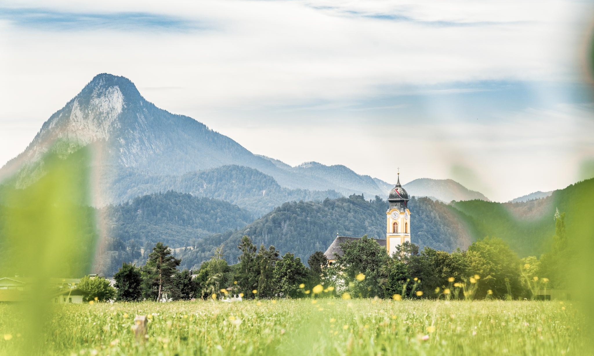
Nature, fun, food, relaxation and stories – inspiring themed trails in Kufsteinerland
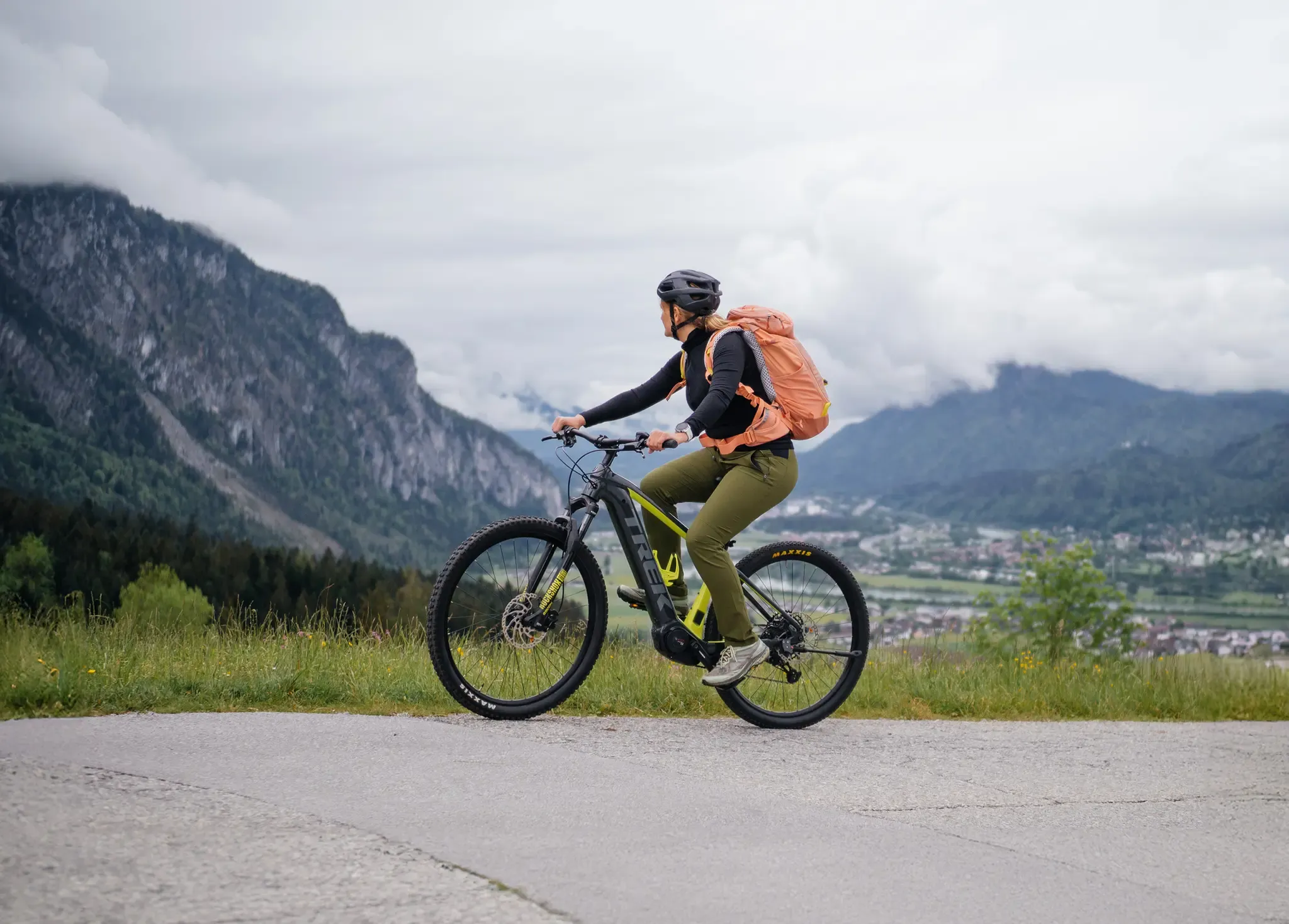
Gateway to the Tyrolean Alps – Bike & Hike in Kufsteinerland
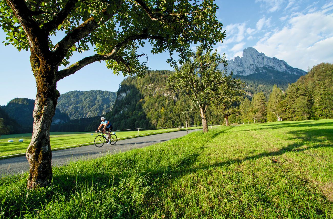
Road cycling tours with TOUR in Kufsteinerland
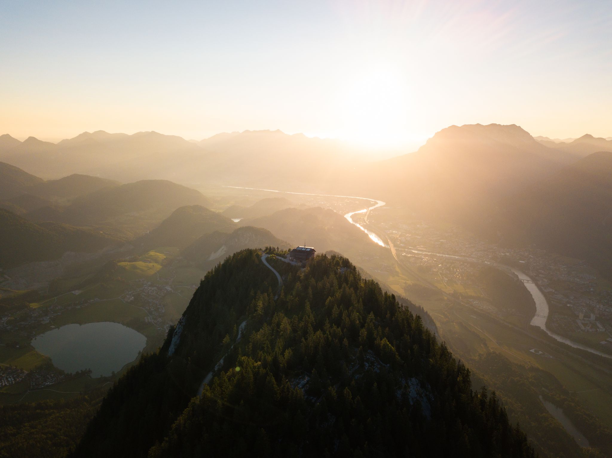
Eight beautiful hikes in the Kufsteinerland region of Austria
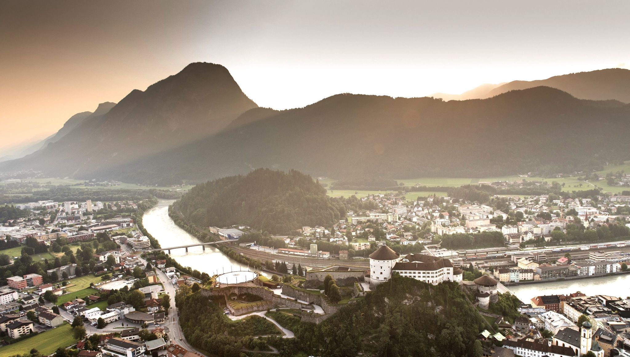
7 day hikes in the idyllic Kaiser Mountains – Kufsteinerland in Austria
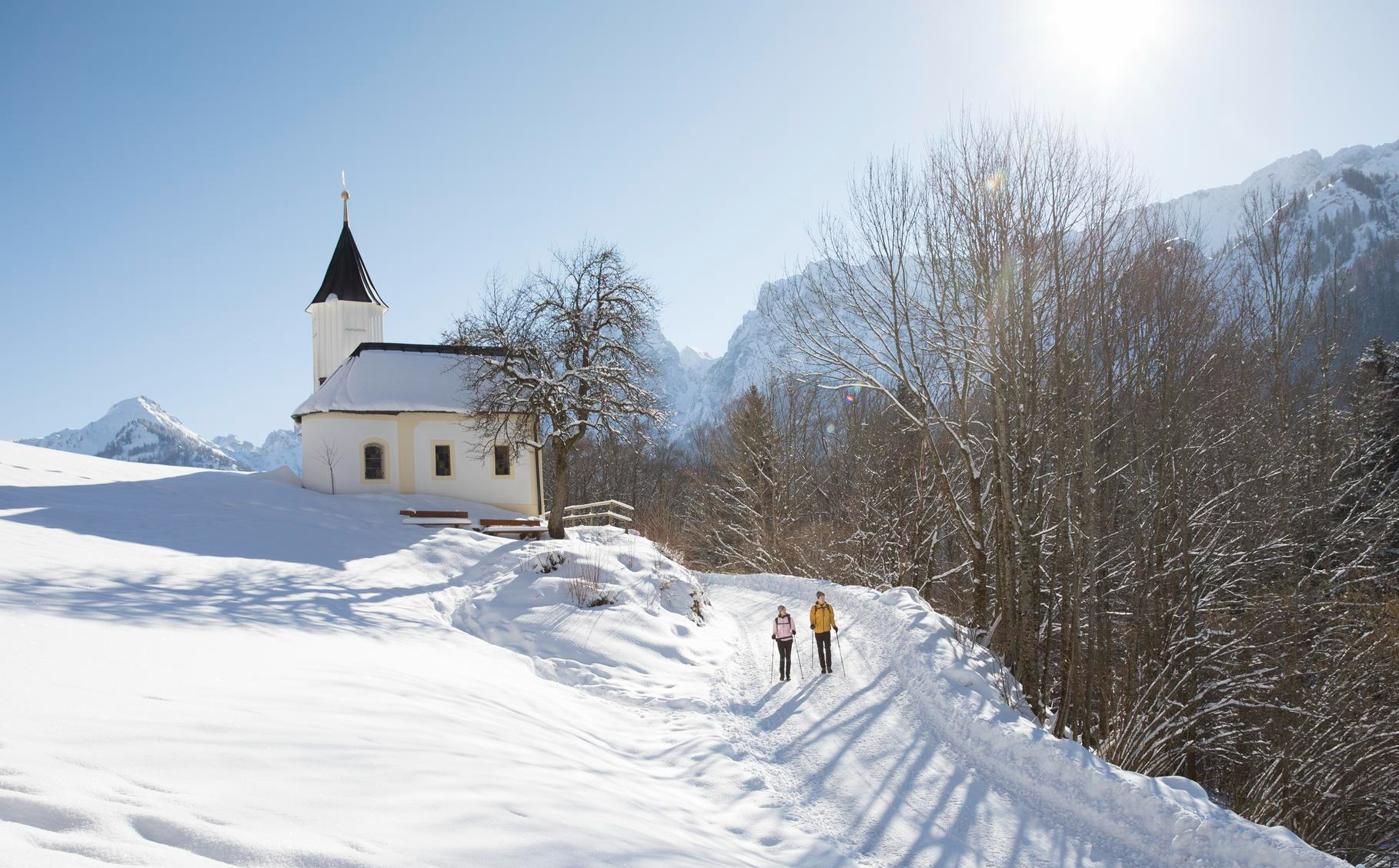
Winterliche Auszeiten – Sanfte Wanderungen & Genussmomente im Kufsteinerland
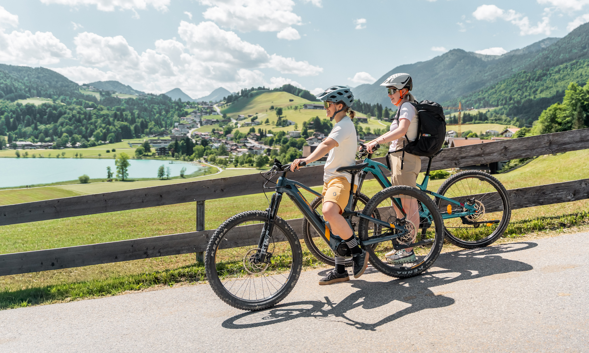
Bewegung, Natur & guter Geschmack – Genussradtouren im Kufsteinerland
MTB Trails around Bad Häring
Road Cycling Routes around Bad Häring
Hiking around Bad Häring
Other adventures around Bad Häring


Tips from the Community

A playground prepared with love for detail!
0
0

Beautiful local recreation area. Definitely worth a visit 😉.
2
0

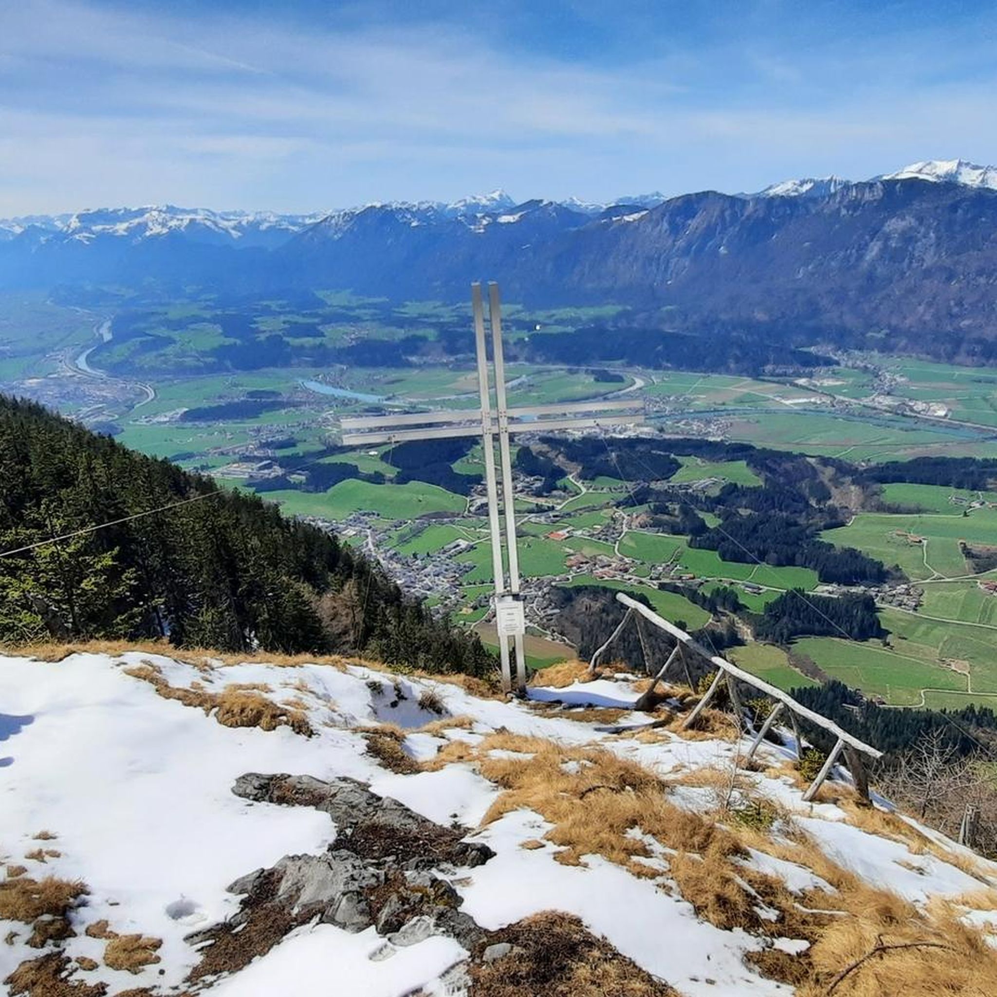
The hike from Mittagskogel to here is quite arduous, as you initially lose a considerable amount of elevation, which you then have to climb back up. But the view is more than worth it. The Wilder Kaiser, Großglockner, Großvenediger, and the rest are absolutely stunning, and the various benches and seating areas definitely invite you to linger!
1
0
A somewhat hidden peak with great views, including the Kaiser Mountains. Usually not crowded ;-)
0
0
Great view and a cozy bench to rest and enjoy :-)
1
0
The strenuous climb along the Lengauer Steig is definitely worth it. Great views, including the Guffert, Hundsalmjaoch, and Frechjoch, as well as the Rotwand, slightly off-peak :-)
0
0
The "old" ladder seems to have been replaced by new steel brackets as a step aid!
0
0
The entire trail (initially, and for quite a long time, it's along a rooty path in the forest) is quite long and steep. You should have a reasonable level of fitness for this one ;-) In my opinion, the initial rope safety devices aren't absolutely necessary. The steps, however, make sense because they're quite steep, but never truly exposed!
1
0
Frequently Asked Questions
How many mountaineering routes are available around Bad Häring?
Bad Häring offers a wide range of mountaineering opportunities, with over 100 routes to explore. These routes cater to various skill levels, from moderate paths to more challenging alpine ascents.
What makes mountaineering in Bad Häring a unique experience?
Mountaineering in Bad Häring is unique due to its location at the foot of the prominent Pölven mountain, offering dramatic backdrops and challenging ascents. You'll experience diverse landscapes within the Tyrolean Alps, with impressive views of the Inn Valley and the surrounding Kaiser Mountains. The region is known for its rugged ridges and significant elevation gains.
What do other mountaineers say about the routes in Bad Häring?
The mountaineering routes in Bad Häring are highly regarded by the komoot community, boasting an average rating of 4.8 stars from over 280 reviews. Mountaineers often praise the varied terrain, challenging ascents, and the stunning panoramic views, particularly from peaks like the Pölvenkreuz.
Are there any mountaineering routes suitable for beginners in Bad Häring?
While many mountaineering routes in Bad Häring are challenging, there are a few easier options available. For instance, there are 2 routes classified as easy and 61 as moderate, providing a good starting point for those new to mountaineering or looking for a less strenuous experience. Always check the route details for specific difficulty and required fitness levels.
Are there challenging mountaineering routes for experienced climbers?
Absolutely. Bad Häring is well-known for its challenging routes, with 55 classified as difficult. Experienced mountaineers can tackle routes like the Lengauer via ferrata (A/B) – Pölven Cross loop from Bad Häring, which involves strenuous climbs and requires good fitness, sure-footedness, and alpine experience. Another demanding option is the Mittagskogel Summit Cross – Söller Kreuz summit cross loop from Bad Häring, leading through rugged mountain terrain.
Can I find circular mountaineering routes in the area?
Yes, several routes in Bad Häring are designed as loops, allowing you to start and end in the same location. Examples include the Lengauer via ferrata (A/B) – Pölven Cross loop from Bad Häring and the Mittagskogel Summit Cross – Söller Kreuz summit cross loop from Bad Häring. These circular routes offer a comprehensive experience of the local landscape without retracing your steps.
Are there any family-friendly outdoor experiences near Bad Häring?
While many mountaineering routes are quite demanding, Bad Häring offers other outdoor activities suitable for families. For a less strenuous but rewarding experience, consider the Bad Häring Falls, which offer a wildly romantic short hike through a cool forest. The three-kilometer-long "Gesundheitsweg" (Health Path) is also an experience for the senses, providing insights into nature.
Are there any routes where I can bring my dog?
Many hiking and mountaineering trails in the Tyrolean Alps are dog-friendly, but it's always recommended to keep dogs on a leash, especially in nature reserves or near livestock. Always check local regulations and ensure your dog is fit enough for the chosen route, particularly on more challenging mountaineering paths. Remember to carry enough water for both yourself and your dog.
What are some natural attractions or landmarks to see along the routes?
Beyond the stunning mountain views, you can discover several natural attractions. The Markbachjoch offers fantastic viewpoints. For a wilder experience, the Bad Häring Falls provide a refreshing atmosphere with cascading water. The nearby Haslacher Moor is also worth a visit to observe unique plants like the yellow iris and carnivorous sundew.
What is the best time of year for mountaineering in Bad Häring?
The best time for mountaineering in Bad Häring is typically from late spring to early autumn (May to October), when the weather is generally stable, and trails are free of snow. During these months, you'll experience pleasant temperatures and clear views. Always check local weather forecasts and trail conditions before heading out, as alpine weather can change rapidly.
Are there options for winter mountaineering or other winter activities?
While specific mountaineering routes might be challenging or require special equipment in winter, the broader Kufsteinerland area offers ski touring opportunities, often with guided tours available. Bad Häring itself provides cross-country skiing trails, including a 5.9 km panoramic trail, for those seeking winter outdoor activities.
Are there any routes that include a mountain hut for a break or overnight stay?
While the provided routes are primarily day tours, the Tyrolean Alps region is well-equipped with mountain huts. For longer expeditions or multi-day tours, you can often find huts along or near trails in the wider Kaiser Mountains area. It's advisable to research specific hut locations and opening times in advance if you plan an overnight stay.
Is there public transport access to the mountaineering trailheads?
Bad Häring is situated in the Kufsteinerland region, which generally has a good public transport network. While some trailheads might be directly accessible by bus, others may require a short walk or a combination of transport. It's recommended to check local bus schedules and routes from Bad Häring to your chosen trailhead for the most up-to-date information.
Most popular routes around Bad Häring
Most popular attractions around Bad Häring

Get inspired with the komoot mobile app


Explore more
Browse the best Mountain Hikes & Routes in other regions.
