The best mountain hikes around Wörschach
4.7
(96)
1,237
hikers
32
hikes
Mountaineering routes around Wörschach traverse a diverse alpine landscape characterized by a prominent mountain backdrop and varied terrain. The region features dramatic natural monuments like the Wörschachklamm, where the Wörschachbach stream has carved impressive rock formations and waterfalls. Mountaineers encounter challenging ascents, exposed ridges, and sections requiring alpine experience, with routes often leading to panoramic vistas from various summits.
Best mountaineering routes around Wörschach
- The most popular mountaineering route is Waterfall cascade with pools – Hinterstoder Dolomitensteig loop from Bärenalm…
Last updated: October 5, 2026
5.0
(7)
75
hikers
16.3km
06:38
980m
980m
Hard mountaineering route. Very good fitness required. Sure-footedness, sturdy shoes and alpine experience required.
5.0
(9)
56
hikers
12.4km
05:56
1,070m
1,070m
Hard mountaineering route. Very good fitness required. Mostly accessible paths. Sure-footedness required.

5.0
(5)
49
hikers
7.79km
03:36
500m
500m
Hard mountaineering route. Good fitness required. Sure-footedness, sturdy shoes and alpine experience required.
5.0
(5)
32
hikers
Moderate mountaineering route. Good fitness required. Mostly accessible paths. Sure-footedness required.
4.5
(2)
31
hikers
16.4km
06:10
900m
900m
Hard mountaineering route. Very good fitness required. Mostly accessible paths. Sure-footedness required.
Get access to more routes and recommendations from other explorers.
Already have an account?
Our route recommendations are based on thousands of hikes, rides, and runs completed by other people on komoot.




Tips from the Community

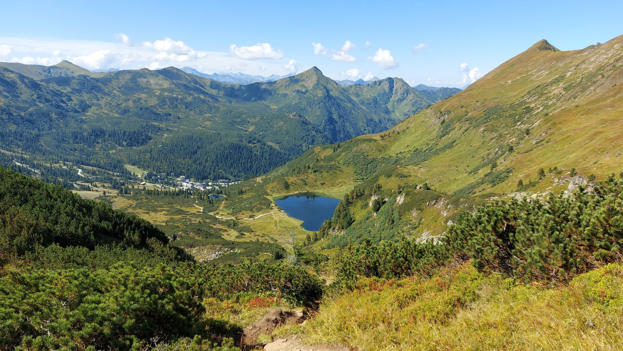
Today, nature lovers particularly appreciate the region for its tranquility and the panorama of the Totes Gebirge with the Spitzmauer and Großer Priel.
2
0
The Bärenalm gained fame as an independent World Cup ski area, but regular lift operation was discontinued years ago.
2
0
Die Türkenscharte (also Türkenkarscharte) is a 1,741-meter-high mountain pass.
2
0
This is a striking, historically significant rock formation.
3
0
The alpine hut is located at an altitude of around 1,626 meters.
3
0

Good starting point, parking lot, from here it's practically only uphill
0
0
In summer weather, you can't take enough to drink. The Grimminghaus is a lifesaver, but unfortunately almost at the foot of the mountain.
0
0

Trautenfels Castle is a castle in the municipality of Stainach-Pürgg in the Liezen district of Styria. It is situated on a rocky promontory at the foot of the Grimming mountain, at an elevation of 673 meters above sea level, overlooking the Enns River. The castle was first documented in 1260/62 as belonging to the Archbishopric of Salzburg. It was located at the intersection of the salt road and the route through the Enns Valley and served as a dam. (Wikipedia)
0
0
Frequently Asked Questions
How many mountaineering routes are available around Wörschach?
Wörschach offers a diverse network of over 30 mountaineering routes, catering primarily to experienced mountaineers with challenging ascents and varied terrain. Most of these routes are rated as difficult, providing significant elevation gains and requiring alpine experience.
What kind of natural attractions can I expect to see on mountaineering routes near Wörschach?
The region is rich in natural beauty. A prominent feature is the Schiederweiher, a stunning lake often called the 'Pearl of the Totes Gebirge'. You'll also encounter dramatic landscapes like the Wörschachklamm, a gorge with impressive rock formations and waterfalls. Many routes offer spectacular panoramas and breathtaking views from various summits, including the Grimming Summit.
Are there any routes that feature waterfalls or gorges?
Yes, the region is known for its dramatic natural monuments. The Waterfall cascade with pools – Hinterstoder Dolomitensteig loop from Bärenalm is a challenging route that leads directly through a stunning waterfall cascade. The Wörschachklamm gorge itself is a highlight, with boardwalks allowing you to experience its thundering waters and scenic beauty.
What is the best time of year for mountaineering in Wörschach?
The best time for mountaineering in Wörschach is generally from late spring to early autumn, when conditions are most favorable. During these months, trails are typically free of snow, and the weather is more stable, allowing for safe exploration of the challenging alpine terrain. Always check local weather and trail conditions before heading out.
Are there any circular mountaineering routes in the area?
Yes, several routes are designed as loops, offering varied scenery without retracing your steps. For instance, the Schafkogelsee – Schrocken Summit loop from Hinterstoder provides a substantial ascent to Schrocken Summit with expansive views. Another option is the Nazogl Summit (2,057 m) – Angerkogel Summit (2,114 m) loop, which includes sections of rock climbing.
What kind of challenges can I expect on the mountaineering routes around Wörschach?
Mountaineering routes in Wörschach are generally difficult and require very good fitness, sure-footedness, sturdy shoes, and alpine experience. You can expect significant elevation gains, exposed ridges, and sections involving rock climbing or easy via ferratas. Routes like the Türckenkarscharte – Bärenalm loop from Bärenalm feature over 1000 meters of elevation gain, demanding considerable endurance.
Are there any huts or places to stop for refreshments along the routes?
Yes, the region has several huts that can serve as rest stops or even overnight accommodation. Notable options include the Dümler Hut, Zeller Hut (1,575 m), and Prielschutzhaus. These provide opportunities for refreshments and to break up longer tours.
What do other mountaineers say about the routes in Wörschach?
The mountaineering routes in Wörschach are highly rated by the komoot community, with an average score of 4.7 stars from over 120 reviews. Mountaineers often praise the spectacular panoramas, the challenging nature of the trails, and the diverse alpine terrain, including rock climbing sections and ridge walks.
Are there any historical sites or viewpoints accessible during mountaineering tours?
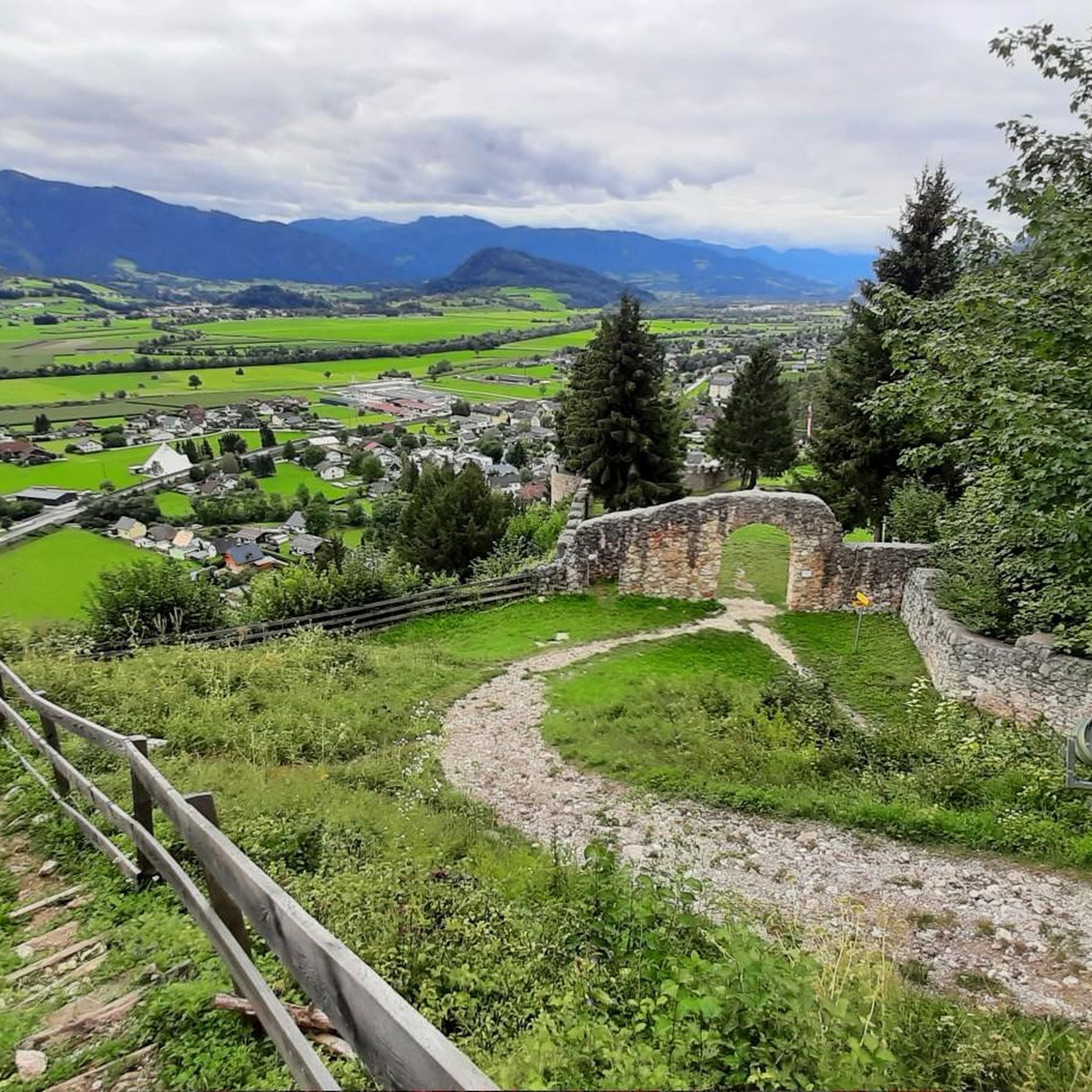
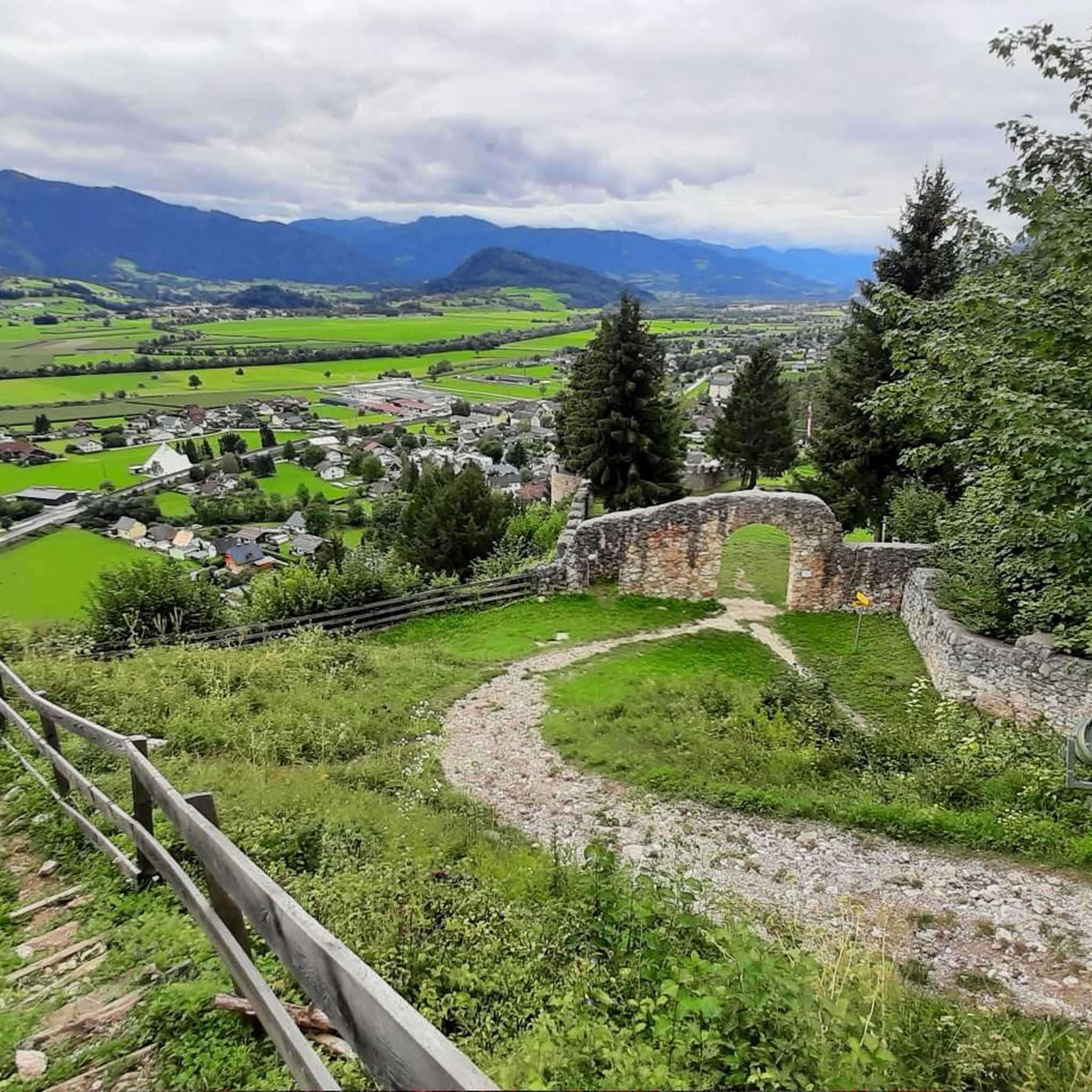
Yes, for those interested in history and views, the Wolkenstein Castle Ruins offer an appealing detour. Located atop a short, easy climb, these historic walls provide magnificent views over the valley from their oriel windows, combining cultural interest with natural beauty.
Is public transport available to access the mountaineering trails around Wörschach?
While specific public transport connections to every trailhead can vary, Wörschach itself is accessible. For detailed information on reaching specific starting points for mountaineering routes, it's advisable to check local bus schedules or regional transport services, especially if you plan to rely solely on public transport.
What should I pack for a summer mountaineering trip in Wörschach?
For summer mountaineering in Wörschach, essential gear includes sturdy, ankle-high hiking boots, weather-appropriate clothing (layers are key due to changing mountain conditions), rain gear, sufficient water and snacks, a first-aid kit, a map and compass or GPS device, and sun protection. Given the challenging terrain, a helmet might be advisable for routes with rock climbing or via ferrata sections.
Most popular routes around Wörschach
Most popular attractions around Wörschach

Get inspired with the komoot mobile app


Explore more
Browse the best Mountain Hikes & Routes in other regions.
