The best mountain hikes around Kainach bei Voitsberg
4.0
(2)
77
hikers
7
hikes
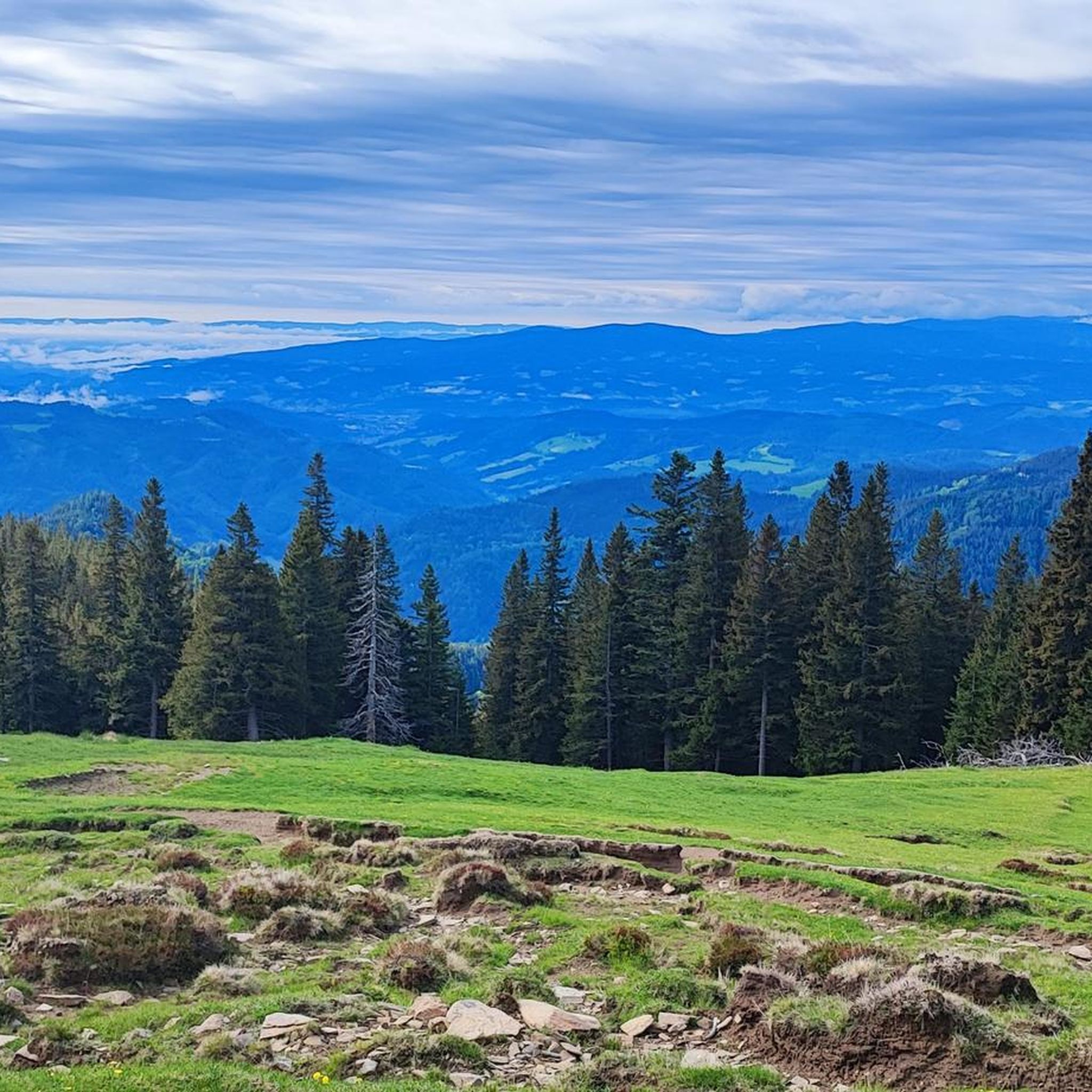
Mountaineering routes Kainach bei Voitsberg traverse a hilly terrain characterized by dense forests and expansive alpine pastures, situated in the Styrian mountain world west of Graz. The region is influenced by the Koralpe mountains to the south and the Grazer Bergland to the east, featuring prominent peaks like Ternbachkogel and Pussorkogel. The Kainach river, originating in the Gleinalpengebiet, further defines the alpine character of the surroundings.
Best mountaineering routes around Kainach bei Voitsberg
- The most popular mountaineering route is Rest Area at Cabin 19 – Lärchkogel Summit (1,894 m) loop from Geierkögerl, a 7.6 miles (12.2 km) trail that takes 4 hours 36 minutes to complete, offering views from the Lärchkogel Summit.
- Another top favourite among local mountaineers is Mountaineering loop from Lärchkogel Winterparkplatz, a moderate 6.2 miles (10.0 km) path. This route provides access to the higher alpine areas, starting from a winter parking spot.
- Local mountaineers also love the Speikkogel – Gleinalm Schutzhaus loop from Hoyer, a 10.0 miles (16.0 km) trail leading through high alpine terrain and past mountain huts, often completed in about 6 hours 53 minutes.
- Mountaineering around Kainach bei Voitsberg is defined by prominent peaks, dense forests, and alpine pastures. The network offers options for different ability levels, from moderate ascents to more challenging, difficult trails.
- The routes in Kainach bei Voitsberg are highly rated by the komoot community with an average score of 4.0 stars from 2 reviews. More than 80 mountaineers have used komoot to explore Kainach bei Voitsberg's varied terrain.
Last updated: September 29, 2026
23
hikers
Moderate mountaineering route. Good fitness required. Mostly accessible paths. Sure-footedness required.
7
hikers
10.0km
03:51
710m
710m
Moderate mountaineering route. Good fitness required. Easily-accessible paths. Suitable for all skill levels.

7
hikers
16km
06:53
1,120m
1,120m
Hard mountaineering route. Very good fitness required. Mostly accessible paths. Sure-footedness required.
8
hikers
16.8km
06:26
1,130m
1,130m
Hard mountaineering route. Very good fitness required. Mostly accessible paths. Sure-footedness required.
7
hikers
Moderate mountaineering route. Good fitness required. Mostly accessible paths. Sure-footedness required.
Get access to more routes and recommendations from other explorers.
Already have an account?
Our route recommendations are based on thousands of hikes, rides, and runs completed by other people on komoot.
Start today with a free account
Your next adventure awaits.

Tips from the Community

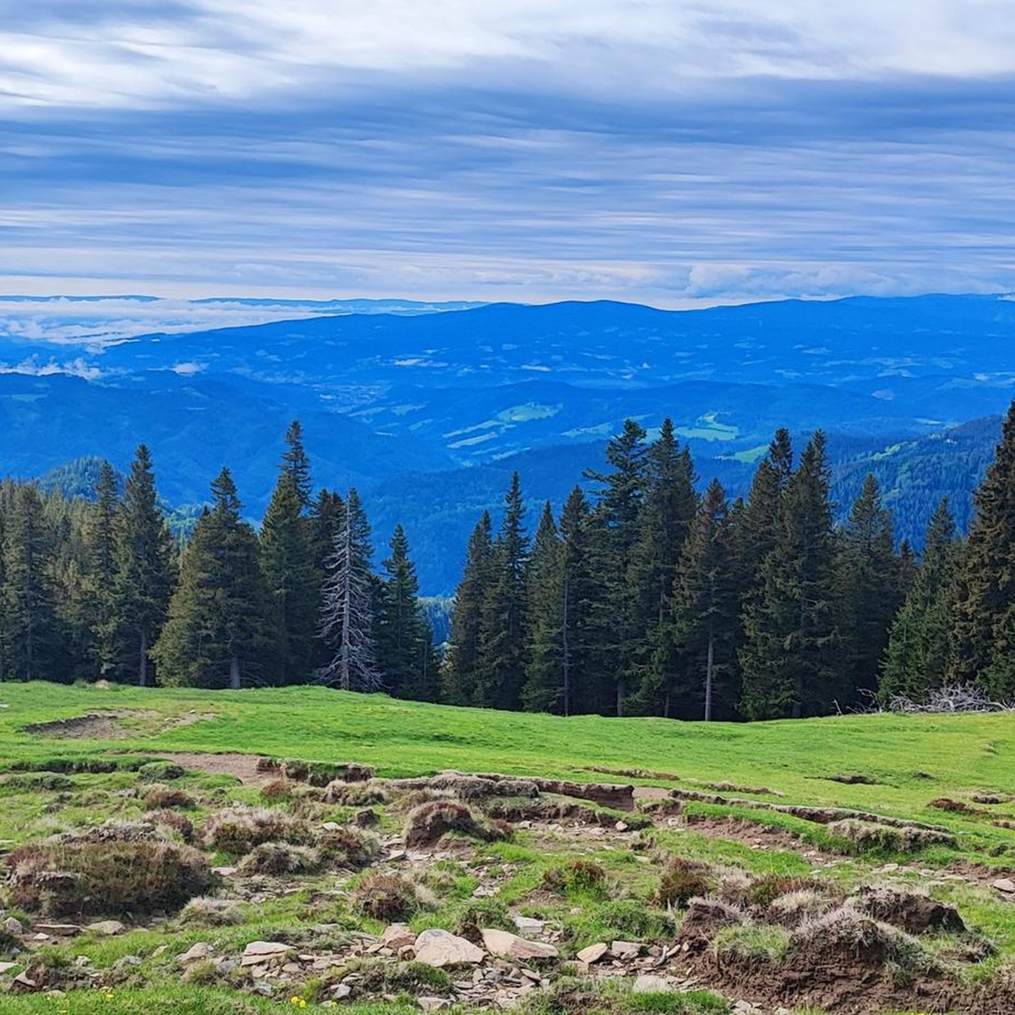
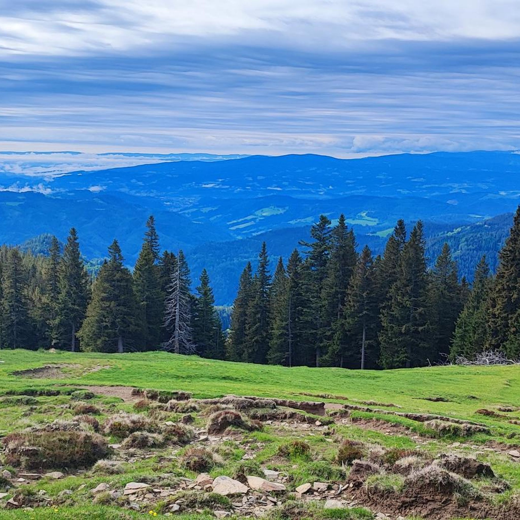
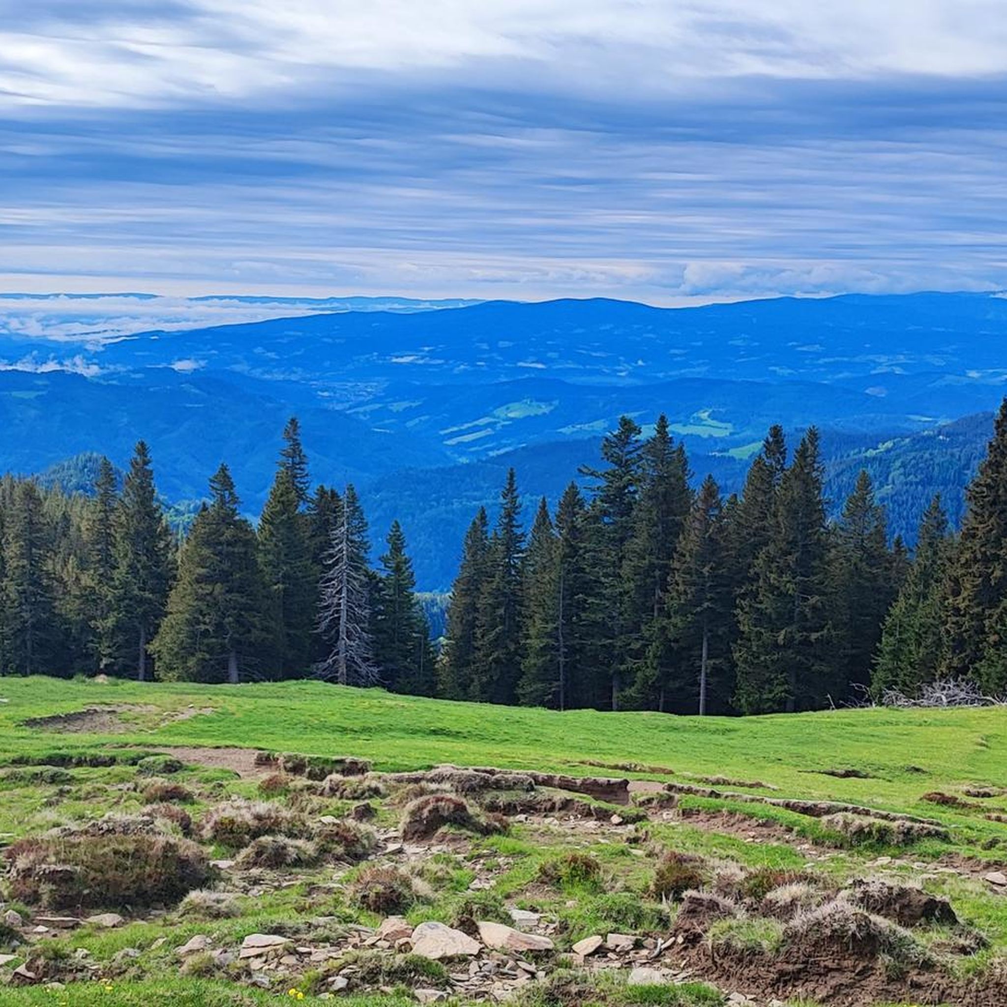
When the weather is clear, you can enjoy a wonderful mountain panorama from the Hochschwab to the Groß Glockner.
0
0

Nice little parking lot.
2
0
Nice place to take a break.
1
0
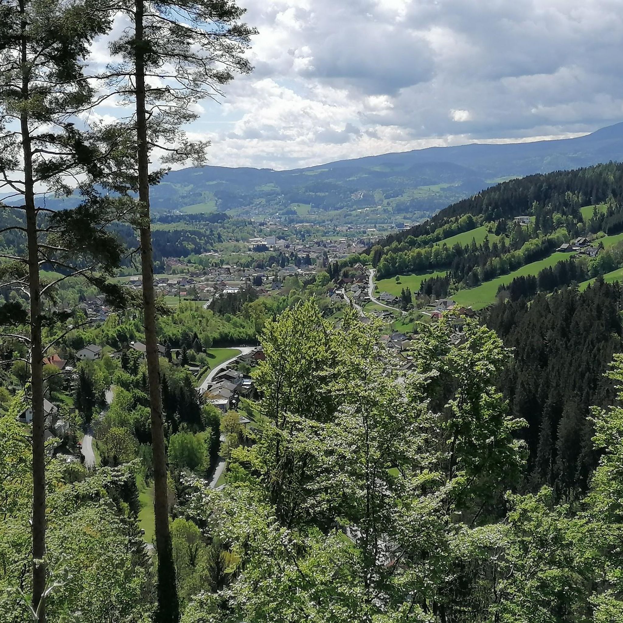
Very nice view from above, highly recommended.
1
0

It's not far to the summit...
3
0
I did the hike on Thursday because hurricane-force winds were forecast in the mountains on Friday. I was very surprised when I had to brave hurricane-force winds near the summit on Thursday afternoon, especially at the summit. The storm was so strong that I had trouble standing upright. In addition, the hurricane almost knocked over the electric jeep, even though it weighs about 7 kilograms. The storm also almost tore the camera out of my hands. But that didn't stop me from enjoying climbing the summit. The view from the Lärchkogel is fantastic. Next summer I will definitely hike over the Lärchkogel to the Speikkogel.
3
0
This place provides drinking water, seating and a toilet.
3
0
A rather easier mountain tour starting from the P1 car park. The tour could also be described as a hike. However, I prefer the term mountain tour because the summit is at almost 1900 meters. A fantastic all-round view awaits you at the summit, which is only obscured to the west by the Speikkogel and the Lenzmoarkogel.
2
0
Frequently Asked Questions
How many mountaineering routes are available around Kainach bei Voitsberg?
There are 7 dedicated mountaineering routes around Kainach bei Voitsberg listed on komoot, offering a range of experiences from moderate to difficult. The region's extensive network of trails also includes many other hiking options.
What is the best time of year for mountaineering in Kainach bei Voitsberg?
The spring and autumn months are generally considered ideal for mountaineering in Kainach bei Voitsberg. During these seasons, you'll experience mild weather and vibrant natural colors, making for a pleasant and scenic outdoor adventure.
Are there any challenging mountaineering routes for experienced hikers?
Yes, for experienced mountaineers seeking a challenge, the region offers routes like the Speikkogel – Gleinalm Schutzhaus loop from Hoyer. This difficult 16.0 km trail leads through high alpine terrain, involves significant elevation gain, and typically takes almost 7 hours to complete. It requires good fitness and sure-footedness.
Can I find circular mountaineering routes in the area?
Absolutely. Many of the mountaineering routes in Kainach bei Voitsberg are designed as loops, allowing you to start and end at the same point. An example is the Rest Area at Cabin 19 – Lärchkogel Summit (1,894 m) loop from Geierkögerl, which offers stunning views from the summit.
Are there any mountain huts or places for refreshments along the trails?
Yes, the region features several mountain huts that serve as important waypoints and offer opportunities for rest and refreshments. Notable ones include the Gleinalm Schutzhaus and Walzkogelhütte, which you might encounter on longer tours like the Speikkogel – Gleinalm Schutzhaus loop from Hoyer.
What kind of natural features can I expect to see on these routes?
Mountaineering routes in Kainach bei Voitsberg traverse a diverse landscape. You'll encounter dense forests, expansive alpine pastures (Almen), and prominent peaks like Ternbachkogel and Pussorkogel. The Kainach river, originating in the Gleinalpengebiet, also adds to the alpine character of the surroundings.
Are there any routes that offer views of the famous Lipizzaner horses?
While specific routes for viewing Lipizzaner horses aren't listed in the mountaineering guide, the region's expansive alpine pastures, such as the Brendlalm and Brentlalm, are known as summer grazing grounds for these famous horses. You might encounter them on local trails that pass through these areas, adding a unique cultural and natural attraction to your outing.
What do other mountaineers enjoy most about the routes in Kainach bei Voitsberg?
The routes in Kainach bei Voitsberg are highly rated by the komoot community, with an average score of 4.0 stars from 2 reviews. Mountaineers often praise the varied terrain, which includes prominent peaks, dense forests, and alpine pastures, offering diverse experiences for different ability levels.
Are there any historical or cultural landmarks to explore near the mountaineering trails?
Beyond the natural beauty, the area offers points of interest that add a cultural and historical dimension to outdoor excursions. These include the Ruine Hauenstein, a historic ruin, and the Wallfahrtskirche zum Heiligen Wasser (Pilgrimage Church to the Holy Water).
Which routes are suitable for those looking for a moderate mountaineering experience?
Many routes in the region are classified as moderate, offering a good balance of challenge and accessibility. For example, the Mountaineering loop from Lärchkogel Winterparkplatz is a moderate 10.0 km path that provides access to higher alpine areas.
Are there any routes that lead to prominent summits?
Yes, several routes lead to prominent summits, offering rewarding views. The Rest Area at Cabin 19 – Lärchkogel Summit (1,894 m) loop from Geierkögerl, for instance, takes you to the Lärchkogel Summit, providing excellent panoramic vistas.
What should I wear for mountaineering in Kainach bei Voitsberg?
Given the diverse terrain and potential for challenging sections, it's recommended to wear sturdy hiking or mountaineering shoes with good ankle support. Layered clothing is advisable to adapt to changing weather conditions, especially in higher alpine areas. Always check the weather forecast before heading out.
Most popular routes around Kainach bei Voitsberg
Most popular attractions around Kainach bei Voitsberg

Get inspired with the komoot mobile app


Explore more
Browse the best Mountain Hikes & Routes in other regions.
