The best mountain hikes around Thannhausen
5.0
(1)
41
hikers
7
hikes
Mountaineering routes around Thannhausen are characterized by rolling hills, dense forests, and the Mindel river valley, bordering the Augsburg-Westliche Wälder Nature Park. The region offers a diverse landscape with varied elevation gains, providing opportunities for uphill walks and more strenuous routes. Key features include the Hoher Zetz Summit and picturesque lakes, making it suitable for those seeking moderate mountaineering experiences.
Best mountaineering routes around Thannhausen
- The most popular mountaineering route is Hoher Zetz Summit loop from Thannhausen, a 2.9…
Last updated: May 13, 2026
15
hikers
4.62km
01:57
400m
400m
Moderate mountaineering route. Good fitness required. Easily-accessible paths. Suitable for all skill levels.
11
hikers
8.03km
03:16
610m
610m
Moderate mountaineering route. Good fitness required. Mostly accessible paths. Sure-footedness required.

Sign up for free
6
hikers
3.23km
01:32
340m
340m
Moderate mountaineering route. Good fitness required. Easily-accessible paths. Suitable for all skill levels.
5
hikers
10.5km
03:16
320m
320m
Moderate mountaineering route. Good fitness required. Mostly accessible paths. Sure-footedness required.
1
hikers
10.3km
04:26
780m
780m
Moderate mountaineering route. Good fitness required. Mostly accessible paths. Sure-footedness required.
Get access to more routes and recommendations from other explorers.
Sign up for free
Already have an account?
Our route recommendations are based on thousands of hikes, rides, and runs completed by other people on komoot.
Start today with a free account
Your next adventure awaits.
Login or Signup
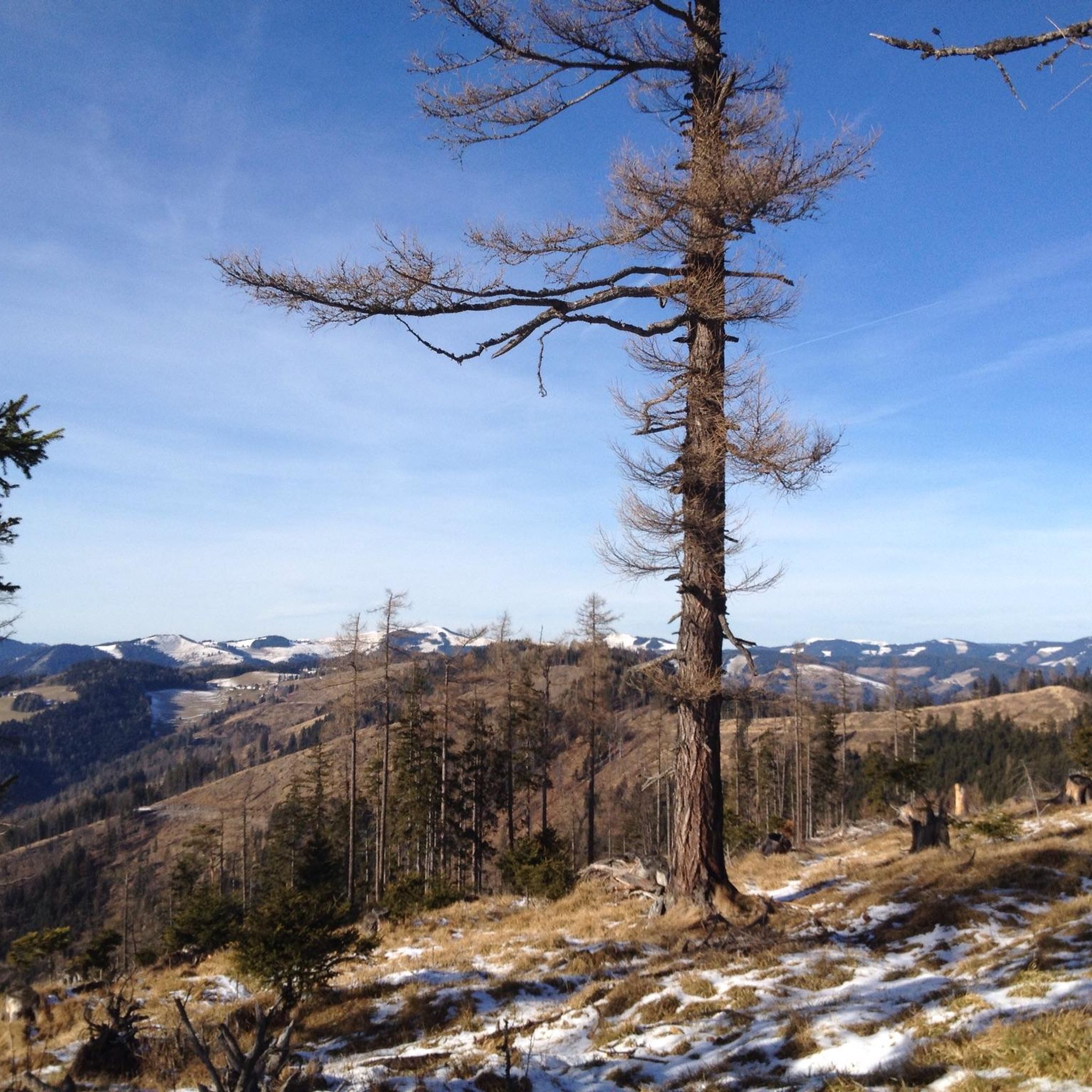
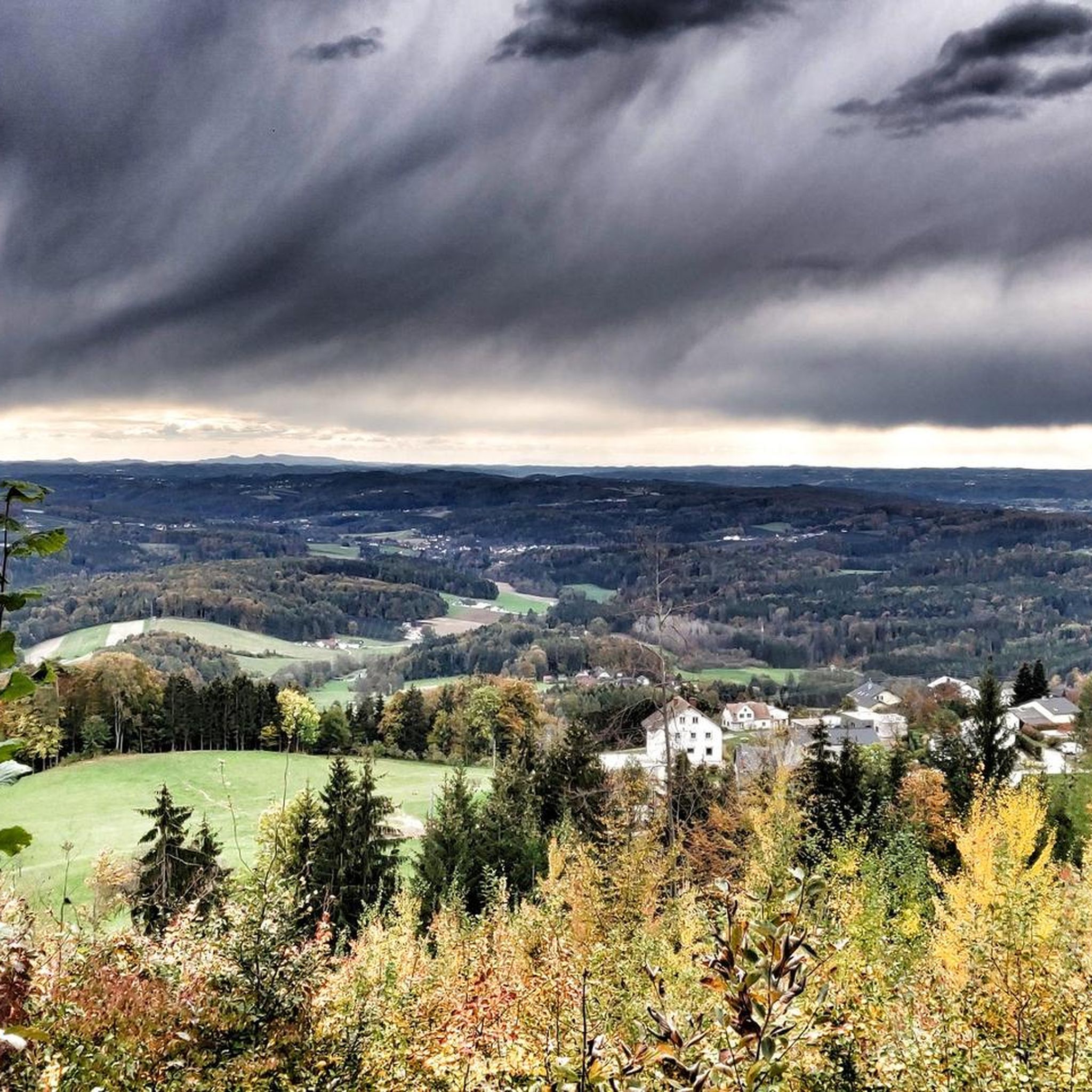
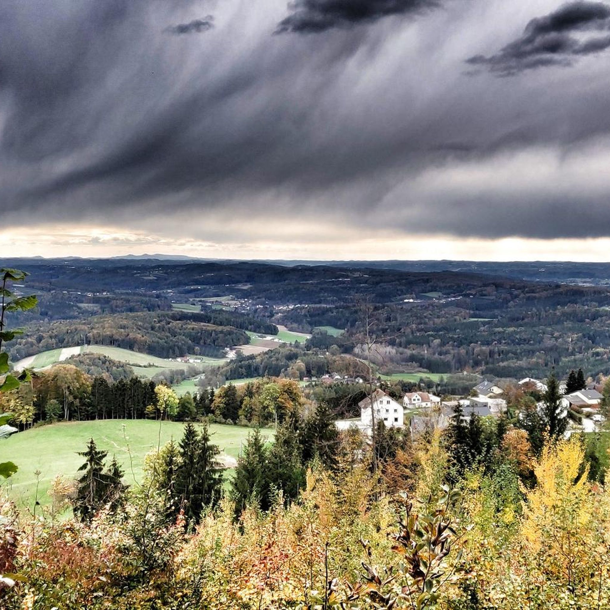
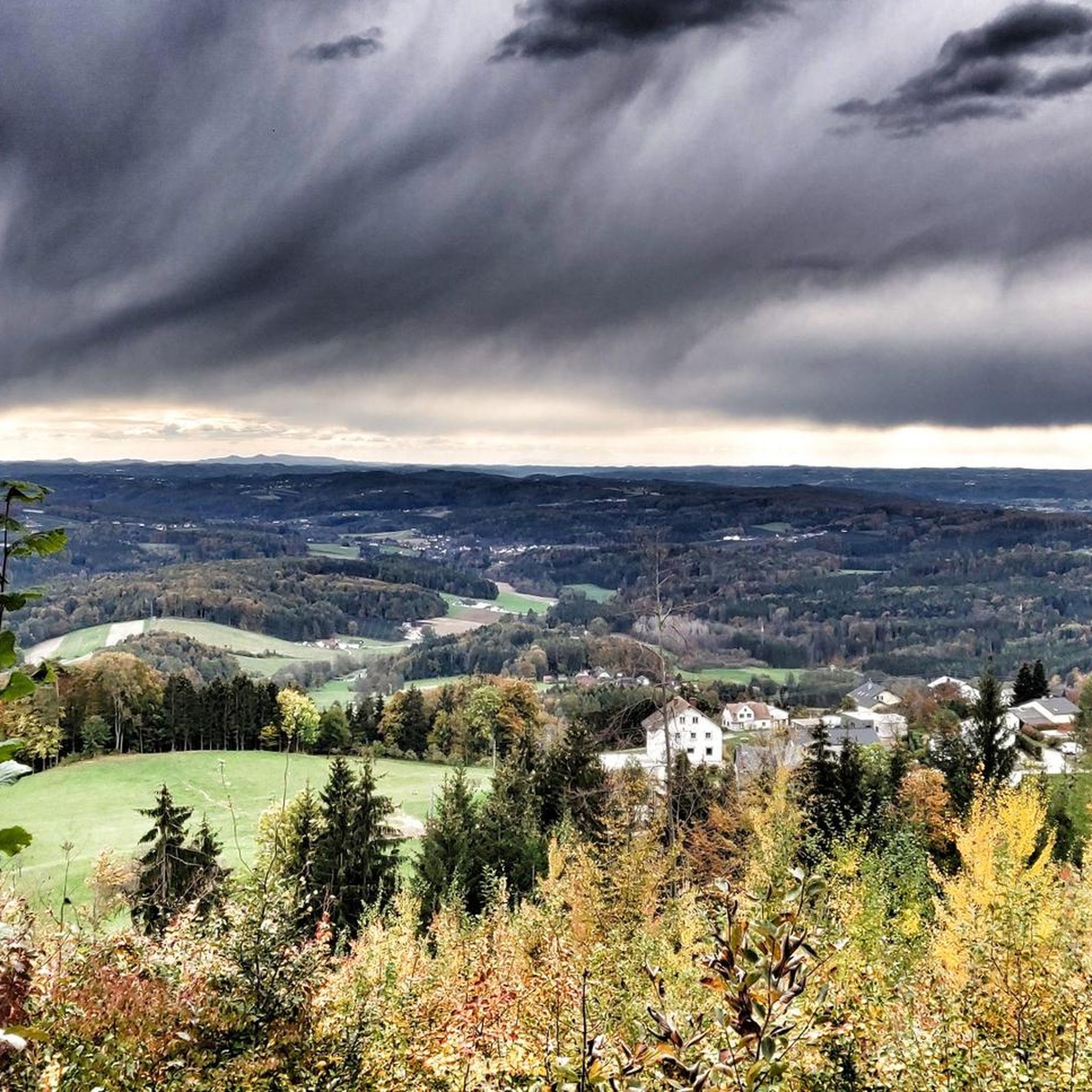
Tips from the Community

Worth a visit any time of year. Action in summer. Peace and quiet in winter, romance in autumn. Awakening in spring. We always love coming back here.
1
0

a large, paid parking lot
0
0

After a tiring journey you can eat well here!
0
0

Beautiful warm bathing lake, a great way to cool off on the tour
4
0
Beautiful view of the lake, good coffee, huge breakfast buffet, friendly staff
5
0

Highly recommended
0
0
Restaurant Gruber am See is highly recommended
0
0

Beautiful bathing lake that invites you to take a swim on warm days. But it is also very beautiful there in winter and you can also cycle around the lake wonderfully.
0
0
Frequently Asked Questions
How many mountaineering routes can I find around Thannhausen?
There are over 7 mountaineering routes available around Thannhausen, offering a variety of experiences through rolling hills and dense forests. Most of these routes are considered moderate, with one challenging option for experienced mountaineers.
What is the best time of year to go mountaineering in Thannhausen?
The region around Thannhausen, including the Augsburg-Westliche Wälder Nature Park, is particularly recommended for hikes and mountaineering in spring and autumn. These seasons offer pleasant temperatures and beautiful scenery, making for an ideal outdoor experience.
Are there any circular mountaineering routes in Thannhausen?
Yes, many of the mountaineering routes around Thannhausen are circular. For example, you can explore the Hoher Zetz Summit loop from Thannhausen, which is a 2.9-mile (4.6 km) trail, or the longer Hoher Zetz Summit loop from Thannhausen covering 5.0 miles (8.1 km).
What kind of terrain can I expect on mountaineering routes near Thannhausen?
Mountaineering routes in Thannhausen are characterized by rolling hills, dense forests, and the picturesque Mindel river valley. You'll encounter varied elevation gains, from moderate ascents to more strenuous uphill walks, providing a diverse and engaging experience.
Are there any family-friendly mountaineering options around Thannhausen?
While many routes involve significant elevation gain, the region offers diverse landscapes. For a unique natural experience that can be engaging for families, consider exploring the nearby Hansenhohl Gorge Trail, which features play and information stations. For specific mountaineering routes, check individual tour details for suitability.
Can I bring my dog on the mountaineering trails in Thannhausen?
Generally, dogs are welcome on trails in the Thannhausen region. However, it's always best to check local regulations or specific trail signage, especially within the Augsburg-Westliche Wälder Nature Park, to ensure a pleasant experience for everyone. Keep your dog on a leash, especially in areas with wildlife or livestock.
What are some interesting natural attractions or landmarks I can see along the routes?
The region offers several natural highlights. You can explore the scenic area around Lake Stubenberg, for instance, on the Lake Stubenberg – Lake Stubenberg loop from Stubenberg. Additionally, the broader area features impressive gorges like the Raabklamm Nature Reserve, known for its steep cliffs and wild mountain stream, and the Feistritzklamm Gorge along the Feistritz river.
Are there any huts or places to rest near the mountaineering routes?
Yes, there are several huts and inns in the vicinity that can serve as resting points or offer refreshments. Notable options include the Wittgruberhof Inn, the Stoakogl Hut, and the Edlseer-Alm. These can be found along or near various routes.
What do other mountaineers say about the routes in Thannhausen?
The mountaineering routes in Thannhausen are highly regarded by the komoot community, holding an impressive average rating of 5.0 stars. More than 40 mountaineers have explored this varied terrain, often praising the scenic beauty and the rewarding ascents.
Are there any challenging mountaineering routes for experienced hikers?
While most routes are moderate, the region does offer more strenuous options. For example, the Hoher Zetz Summit loop from Anger is a longer route covering 10.3 miles (16.6 km) with significant elevation gain, providing a more demanding experience for those with good fitness.
Is public transport available to reach the starting points of mountaineering routes?
Information on specific public transport connections to every trailhead can vary. It's advisable to check local bus or train schedules for connections to Thannhausen and surrounding villages like Stubenberg or Anger, which serve as starting points for several routes. Planning ahead will ensure a smooth journey to your chosen mountaineering adventure.
Where can I find parking for the mountaineering trails?
Many trailheads in and around Thannhausen, including those for the Hoher Zetz Summit loops, typically offer designated parking areas. For routes starting from specific locations like Stubenberg or Wittgruberhof, you can usually find parking facilities nearby. Always look for official parking signs and be mindful of local regulations.
Most popular routes around Thannhausen
Most popular attractions around Thannhausen

Get inspired with the komoot mobile app


Explore more
Browse the best Mountain Hikes & Routes in other regions.
