The best MTB trails around Woodleigh
4.7
(9)
53
riders
3
rides
Mountain biking around Woodleigh offers a chance to explore the idyllic countryside and diverse landscapes of the South Hams region. The area is characterized by a rural setting with varied terrain, including features like waterfalls, reservoirs, and historical tramways. These routes navigate through green spaces and offer opportunities to experience the natural environment. The landscape provides a mix of ascents and descents suitable for mountain biking.
Best mountain bike trails around Woodleigh
- The most popular mountain bike trail is Lydia…
Last updated: May 12, 2026
5.0
(6)
22
riders
18.3km
01:33
410m
410m
Moderate mountain bike ride. Good fitness required. Suitable for all skill levels.
3.7
(3)
7
riders
37.8km
03:06
680m
670m
Moderate mountain bike ride. Good fitness required. Suitable for all skill levels.

Sign up for free
3
riders
44.1km
03:42
870m
870m
Moderate mountain bike ride. Good fitness required. Suitable for all skill levels.
2
riders
Moderate mountain bike ride. Good fitness required. Suitable for all skill levels.
3
riders
22.8km
01:59
420m
420m
Moderate mountain bike ride. Good fitness required. Suitable for all skill levels.
Our route recommendations are based on thousands of hikes, rides, and runs completed by other people on komoot.
Start today with a free account
Your next adventure awaits.
Login or Signup
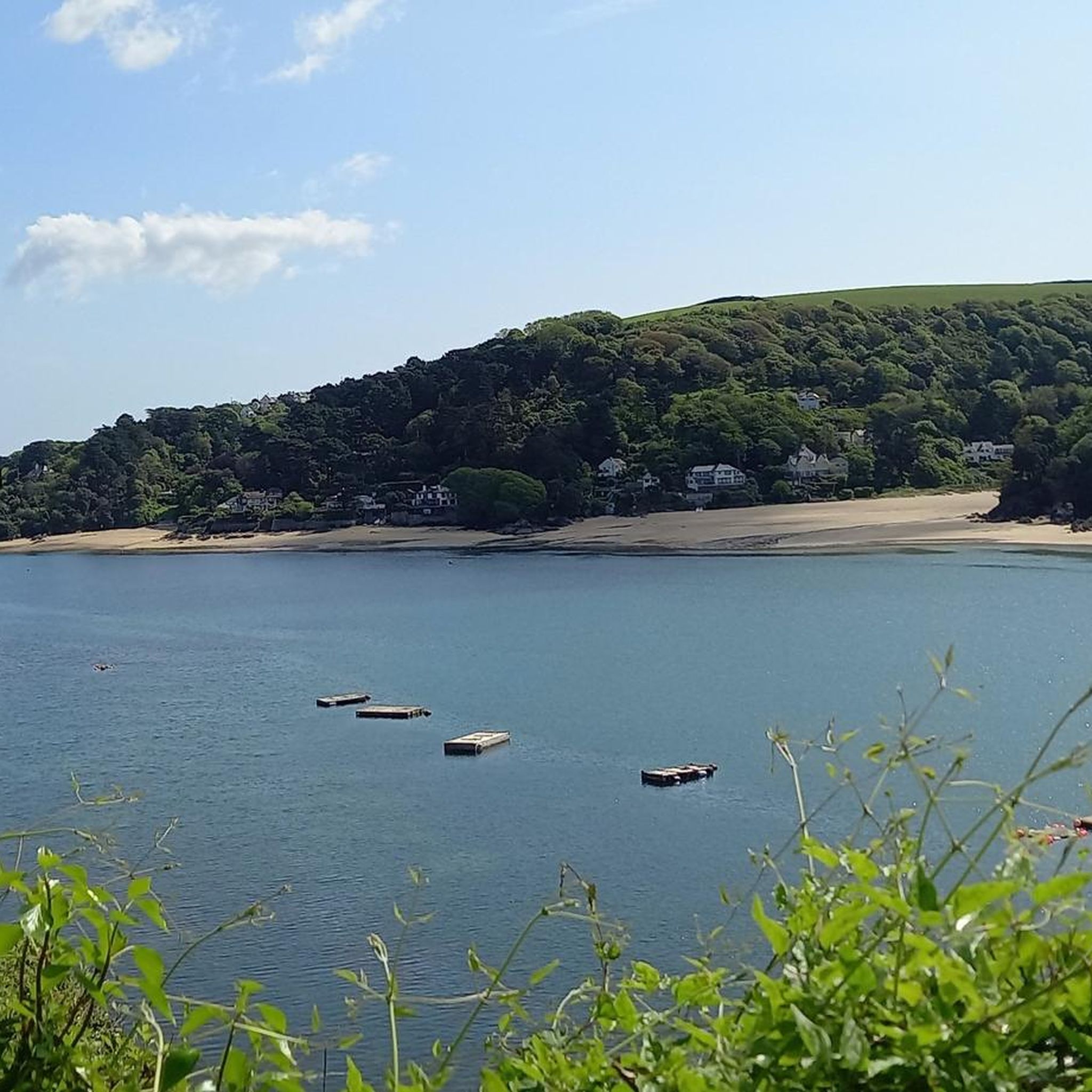

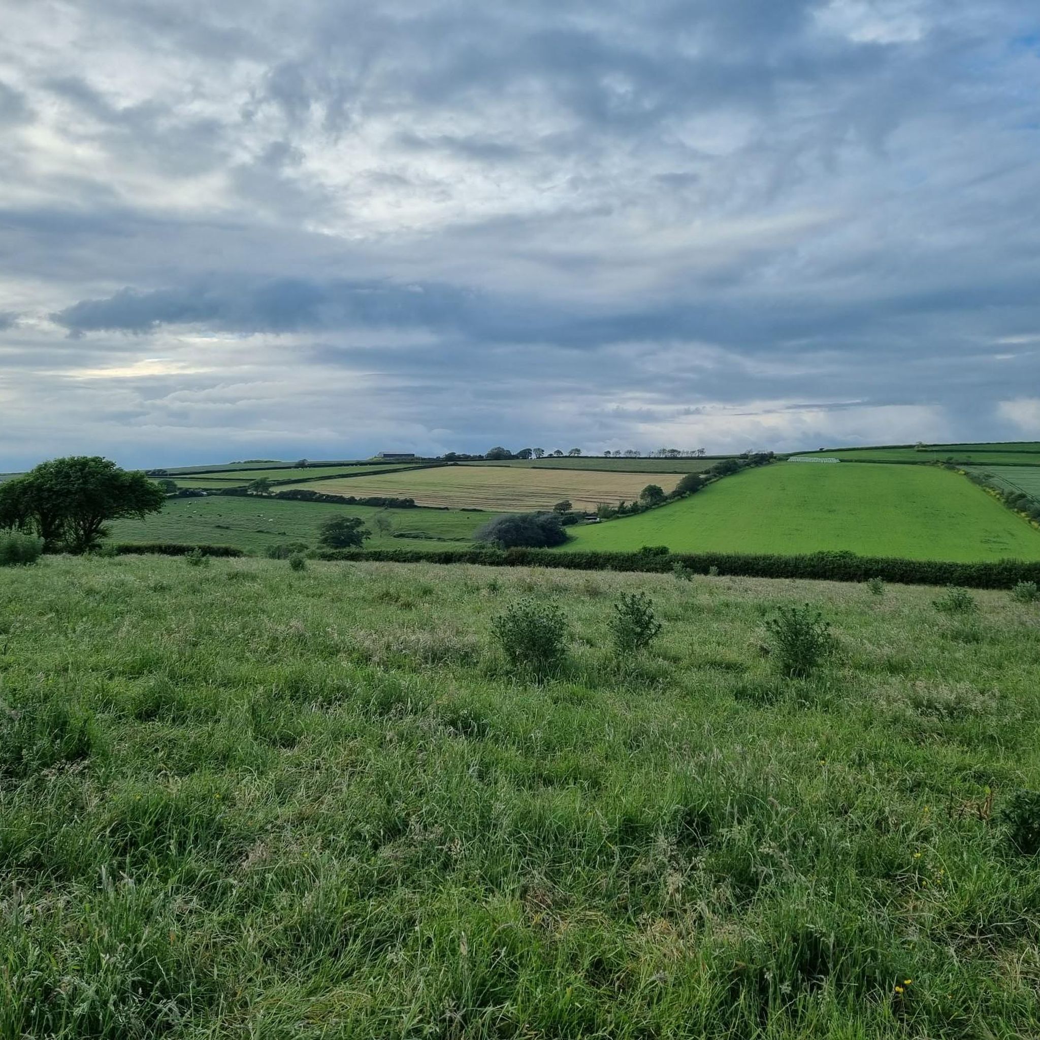
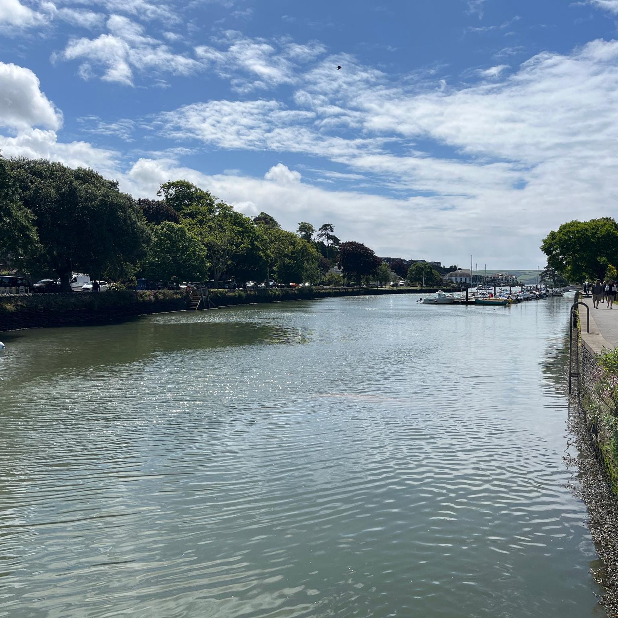
Tips from the Community

luckily there's a footbridge too for those who don't want to get their feet or electric motor wet.
0
0

Quiet and undulating - great to include on longer rides.
0
0

Left Lake is a small lake on the right of the Two Moors Way trail from Ivybridge heading north to Red Lake. It's a great little pool with a peaty bottom, so the water is quite dark. It warms up well if you get a few days of sunshine, perfect for a quick dip on a long run on the south moor.
0
0

Some quiet, undulating lanes between Bittaford and South Brent make for a good way to finish (or start) a loop onto the moors, following National Cycle Network Route 2 (https://www.komoot.com/collection/2211292/dover-to-st-austell-national-cycle-network-route-2) and part of the Dartmoor Way cycle route. I always see plenty of other cyclists along here, but few cars as it runs parallel to the A38. A perfect way to skirt the moor!
0
0
Built between 1910 and 1912, this former railway line used to transport labourers and kit up to the Red Lake China Clay Works, as well as returning waste products that were put to use as fertiliser. Today, only the track bed is left, providing a long, winding, and fairly gentle way to get up onto the moor from Bittaford, near Ivybridge. The track is a firm local favourite with mountain bikers and gravel riders alike, and also very popular with hikers and the herds of Belted Galloway cattle that roam Ugborough and Harford Moors. Although gentle in gradient, it's pretty rough in parts, so wider tyres are recommended.
0
0
This traffic-free road is a really scenic way to get up onto the moors from Shipley Bridge near South Brent. It's technically a bridleway, through the vehicle-wide paved road makes for an easy, gentle climb. Look out though, as the uneven road is starting to crumble in some place. It's a really beautiful pedal as you ride alongside the gushing waterfalls of the River Avon and between bracken, crossing the water a few times as you head up towards the Avon Dam and reservoir.
0
0
The Avon Dam was built in 1957 to supply water to the coastal towns of South Devon. You can ride up the access road to the base of the dam but will have to leave your bike or push up to see the reservoir.
0
0
Frequently Asked Questions
What kind of terrain can I expect on mountain bike trails around Woodleigh?
The mountain bike trails around Woodleigh offer a varied landscape, characterized by idyllic countryside and diverse terrain within the South Hams region. You'll encounter a mix of ascents and descents, navigating through green spaces, rural areas, and historical elements like old tramways. The routes also feature water features such as waterfalls and reservoirs.
Are there any easy or beginner-friendly mountain bike trails in Woodleigh?
All the mountain bike routes listed for Woodleigh are rated as moderate difficulty. There are no trails specifically categorized as easy or beginner-friendly in the provided data. However, moderate trails can often be enjoyed by those with some mountain biking experience.
What are some notable natural features or landmarks I can see along the mountain bike trails?
Many routes incorporate natural features and historical landmarks. You can expect to see water features like the Lydia Bridge Waterfall and the Avon Dam Reservoir. Historical elements include the Zeal Tor Tramway. Other nearby attractions include the Western Beacon Summit and a Stone Water Fountain at Dartmoor National Park.
Are the mountain bike trails in Woodleigh circular routes?
Yes, the mountain bike trails around Woodleigh are designed as circular routes. For example, you can explore the Lydia Bridge Waterfall – Zeal Tor Tramway Descent loop from North Huish or the Lydia Bridge Waterfall – Left Lake loop from Modbury, both of which are loops.
What do other mountain bikers say about the trails in Woodleigh?
The mountain bike routes in Woodleigh are highly rated by the komoot community, with an average score of 4.7 stars from 9 reviews. Over 50 mountain bikers have used komoot to explore the varied terrain, often praising the scenic countryside and the mix of natural and historical elements.
What is the typical distance and elevation gain for mountain bike trails in Woodleigh?
The mountain bike trails in Woodleigh vary in length and elevation. For instance, the Lydia Bridge Waterfall – Avon Dam Reservoir loop from South Brent is about 20.5 miles (32.9 km) with approximately 773 meters of elevation gain. Another route, the Lydia Bridge Waterfall – Long Stone, Piles Hill loop from South Brent, covers about 14.2 miles (22.8 km) with around 418 meters of elevation gain.
Are there any cafes or pubs near the mountain bike trails in Woodleigh?
While specific cafes directly on the trails are not detailed, the region offers options for refreshments. For example, The Maltsters Arms is a pub located in Tuckenhay Village on Bow Creek, which could be a stop depending on your chosen route.
What is the best time of year to go mountain biking in Woodleigh?
The South Hams region, where Woodleigh is located, offers diverse landscapes suitable for outdoor activities. While specific seasonal advice for mountain biking isn't provided, the general outdoor recreation opportunities suggest that spring and autumn would offer pleasant conditions with milder weather and vibrant scenery. Summer can also be good, but be prepared for potentially warmer temperatures.
Are there any advanced mountain bike routes in Woodleigh?
Based on the available data, all the mountain bike routes around Woodleigh are classified as 'moderate' difficulty. There are no trails specifically designated as 'difficult' or 'advanced' in this guide.
Can I find historical sites or points of interest along the trails?
Yes, the trails often incorporate historical elements. For instance, the Lydia Bridge Waterfall – Zeal Tor Tramway Descent loop from North Huish features a descent along the historic Zeal Tor Tramway. You might also encounter other historical sites like the Totnes Life Cairn in the broader area.
How many mountain bike trails are available in the Woodleigh area?
There are a total of 5 mountain bike trails detailed for the Woodleigh area in this guide, all of which are rated as moderate difficulty.
Most popular routes around Woodleigh
Most popular attractions around Woodleigh

Get inspired with the komoot mobile app


Explore more
Browse the best MTB trails in other regions.
