The best walks and hikes around Stretton Baskerville CP
4.4
(350)
2,185
hikers
214
hikes
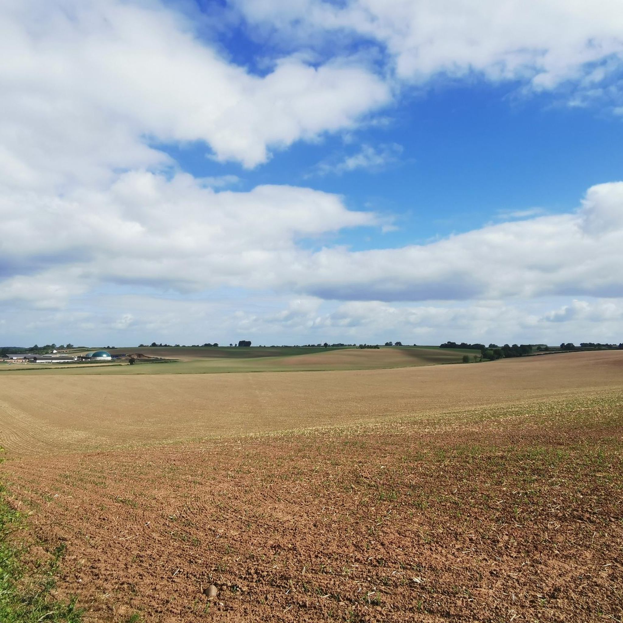
Walking routes near Stretton Baskerville CP explore a landscape shaped by local history. The area is characterized by generally flat terrain, open pastureland, and the earthworks of a deserted medieval village. Hikes often follow public footpaths across fields and alongside waterways like the Harrow Brook, offering a mix of rural and suburban scenery.
Best hiking trails around Stretton Baskerville CP
- The most popular hiking route is The Hanson Cab loop from Hinckley, an 8.6 mile (13.9 km) trail that…
Last updated: May 16, 2026
13
hikers
5.72km
01:29
30m
30m
Easy hike. Great for any fitness level. Easily-accessible paths. Suitable for all skill levels.
4.0
(1)
7
hikers
14.0km
03:35
50m
50m
Moderate hike. Good fitness required. Easily-accessible paths. Suitable for all skill levels.

Sign up for free
8
hikers
Easy hike. Great for any fitness level. Easily-accessible paths. Suitable for all skill levels.
5.0
(1)
4
hikers
6.16km
01:35
20m
20m
Easy hike. Great for any fitness level. Easily-accessible paths. Suitable for all skill levels.
3
hikers
4.65km
01:12
20m
20m
Easy hike. Great for any fitness level. Easily-accessible paths. Suitable for all skill levels.
Get access to more routes and recommendations from other explorers.
Sign up for free
Already have an account?
Our route recommendations are based on thousands of hikes, rides, and runs completed by other people on komoot.
Start today with a free account
Your next adventure awaits.
Login or Signup

Tips from the Community


it seems to have space for bikes in the garden and is linked via a cyleway to it (from the Burbage direction) along the A5.
0
0
Frequently Asked Questions
Where can I park to explore the Stretton Baskerville area?
The immediate area around the deserted village has limited formal parking, with most visitors using lay-bys or considerate on-street parking in nearby villages. For a more structured start to your walk, nearby country parks are a great option.
Hartshill Hayes Country Park has pay-and-display parking and serves as a good base for exploring the wider region's trails. Similarly, Burbage Common And Woods Country Park is a popular choice with parking available near its entrance.
Are there any circular walks in the Stretton Baskerville area?
Yes, the region is well-suited for circular walks. While many routes can be created by linking public footpaths, there are several established loops. For an easy, shorter walk, consider the Christmas Lights House loop from North Warwickshire and South Leicestershire College, which is about 2.7 miles (4.4 km). It offers a gentle introduction to the local landscape.
What is the main historical attraction in Stretton Baskerville?
The primary point of interest is the site of the deserted medieval village of Stretton Baskerville itself. You can walk among the visible earthworks that outline where streets, houses, and a church once stood. The landscape, now quiet pastureland, offers a unique and atmospheric backdrop for a walk. For more details on the archaeological site, you can consult the county's historic environment record at warwickshire.gov.uk.
Are the hiking trails around Stretton Baskerville suitable for families with children?
Many trails in the area are great for families. The terrain is generally flat and follows open fields or quiet lanes, making it accessible for shorter legs. For a reliable family-friendly outing, Hartshill Hayes Country Park is an excellent choice, offering walking trails, a playground, and a visitor centre. The paths are well-maintained and easy to follow.
Can I bring my dog on the walks around Stretton Baskerville?
Yes, dogs are welcome on most public footpaths, but be aware that trails often cross pastureland with grazing sheep and cattle. Keep your dog on a lead and under control, especially near livestock. For off-leash fun, Burbage Common And Woods Country Park is a popular spot among local dog owners, with plenty of space for dogs to run around in designated areas.
Are there any pubs or cafes for a break during a hike?
While the immediate deserted village site is rural, nearby towns and villages offer good options for refreshments. Hinckley, Nuneaton, and Burbage have numerous pubs and cafes. You can plan your route to pass through one of these locations, such as the 6.1 km Christmas Lights House loop from Nuneaton, which starts and ends in the town, giving you easy access to amenities.
How can I get to Stretton Baskerville using public transport?
The area is best reached by combining public transport with a short walk. The nearest major towns with train stations are Nuneaton and Hinckley. From there, local bus services run along the A5 and to surrounding villages. You will likely need to walk from the nearest bus stop to join the footpaths leading to the deserted village site. Check local bus timetables for routes serving the A5 corridor.
What is the terrain like on the trails around Stretton Baskerville?
The landscape is typical of the Warwickshire countryside: mostly flat with very gentle inclines. Hikes primarily follow public footpaths across open pasture, along the banks of small streams like Harrow Brook, and on quiet country lanes. The paths can be grassy and muddy after rain, so waterproof footwear is recommended.
How many hiking trails are available around Stretton Baskerville?
There are over 200 routes to explore in the wider Stretton Baskerville region on komoot. These range from short, easy strolls of just a few kilometres to more demanding moderate hikes. The majority of trails are classified as easy or moderate, reflecting the area's gentle topography.
How do I find the public footpaths in the area?
Public footpaths, or Public Rights of Way, are marked with signposts and waymarkers. Using a detailed map is the best way to plan your walk. For official information on the path network, you can refer to the resources provided by the local council at Warwickshire County Council's paths and trails page.
Are there any long-distance walking paths that pass near Stretton Baskerville?
While Stretton Baskerville itself is known for shorter local walks, the wider Warwickshire region is crossed by several major long-distance trails. These include the 100-mile Centenary Way, the Millennium Way, and the Heart of England Way. You can join sections of these paths for a longer day hike by travelling a short distance from the Stretton Baskerville area.
Most popular routes around Stretton Baskerville CP
Most popular attractions around Stretton Baskerville CP

Get inspired with the komoot mobile app


Explore more
Browse the best Hikes in other regions.
