The best road cycling routes around Princethorpe
4.4
(442)
7,571
riders
162
rides
Road cycling routes around Princethorpe, located within Warwickshire, traverse a landscape characterized by verdant fields and undulating countryside. The area features gentle, rolling terrain, which provides varied gradients suitable for road cycling. Natural springs in the vicinity have contributed to the formation of a lake, locally known as "Switzerland," adding a natural focal point to some routes. The region's rural roads and green spaces offer a suitable environment for cycling.
Best road cycling routes around Princethorpe
- The most popular road…
Last updated: July 2, 2026
4.0
(2)
102
riders
Moderate road ride. Good fitness required. Some segments of this route may be unpaved and difficult to ride.
35
riders
23.2km
00:54
80m
80m
Easy road ride. Great for any fitness level. Mostly well-paved surfaces and easy to ride.

Sign up for free
46
riders
37.9km
01:38
310m
310m
Moderate road ride. Good fitness required. Mostly well-paved surfaces and easy to ride.
9
riders
45.1km
02:04
350m
350m
Moderate road ride. Good fitness required. Some segments of this route may be unpaved and difficult to ride.
13
riders
36.2km
02:23
210m
210m
Moderate road ride. Good fitness required. Some segments of this route may be unpaved and difficult to ride.
Get access to more routes and recommendations from other explorers.
Sign up for free
Already have an account?
Our route recommendations are based on thousands of hikes, rides, and runs completed by other people on komoot.
Start today with a free account
Your next adventure awaits.
Login or Signup


Tips from the Community

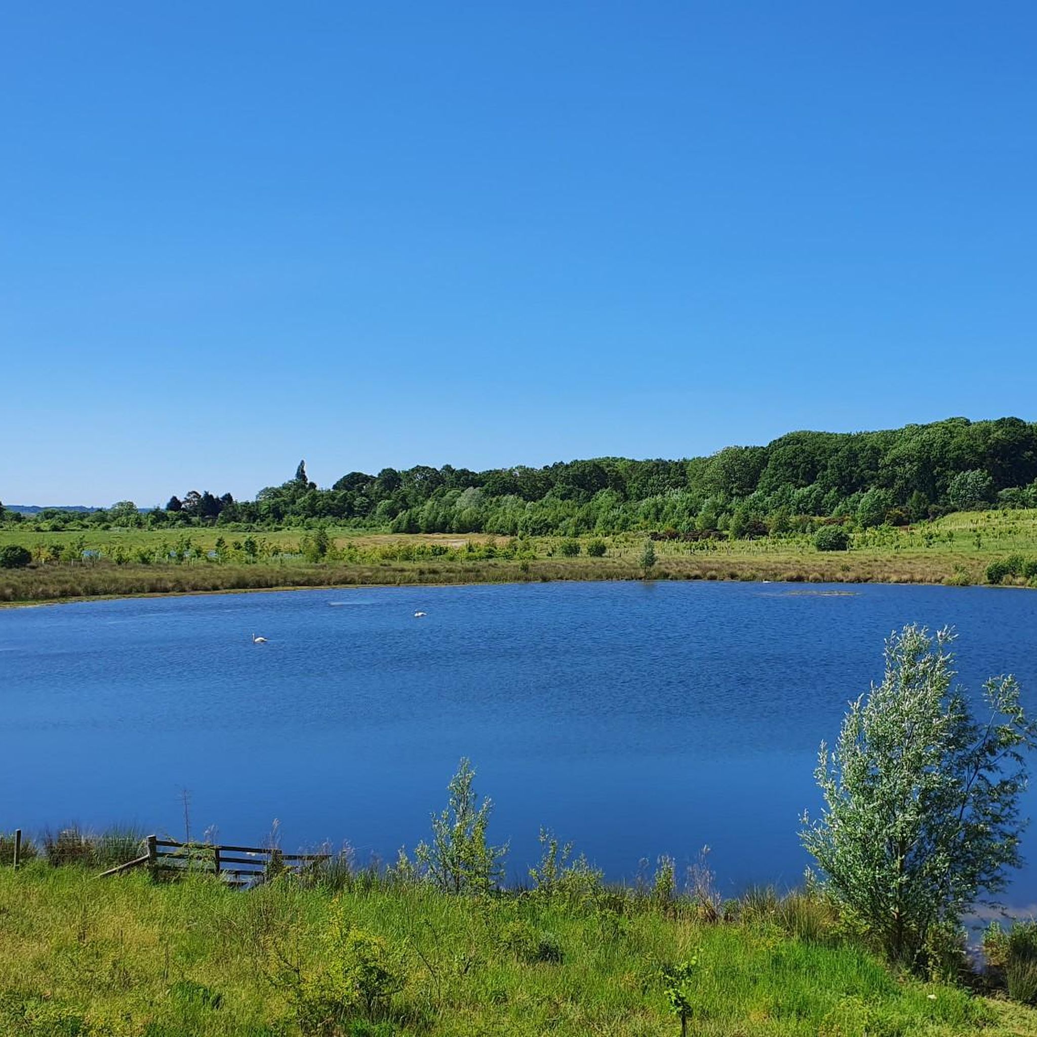
This charming duck pond is nestled in the picturesque village of Willoughby. A nearby bench offers a perfect place to rest and recharge, and just a short stroll away is The Rose Inn, a lovely village pub.
1
0

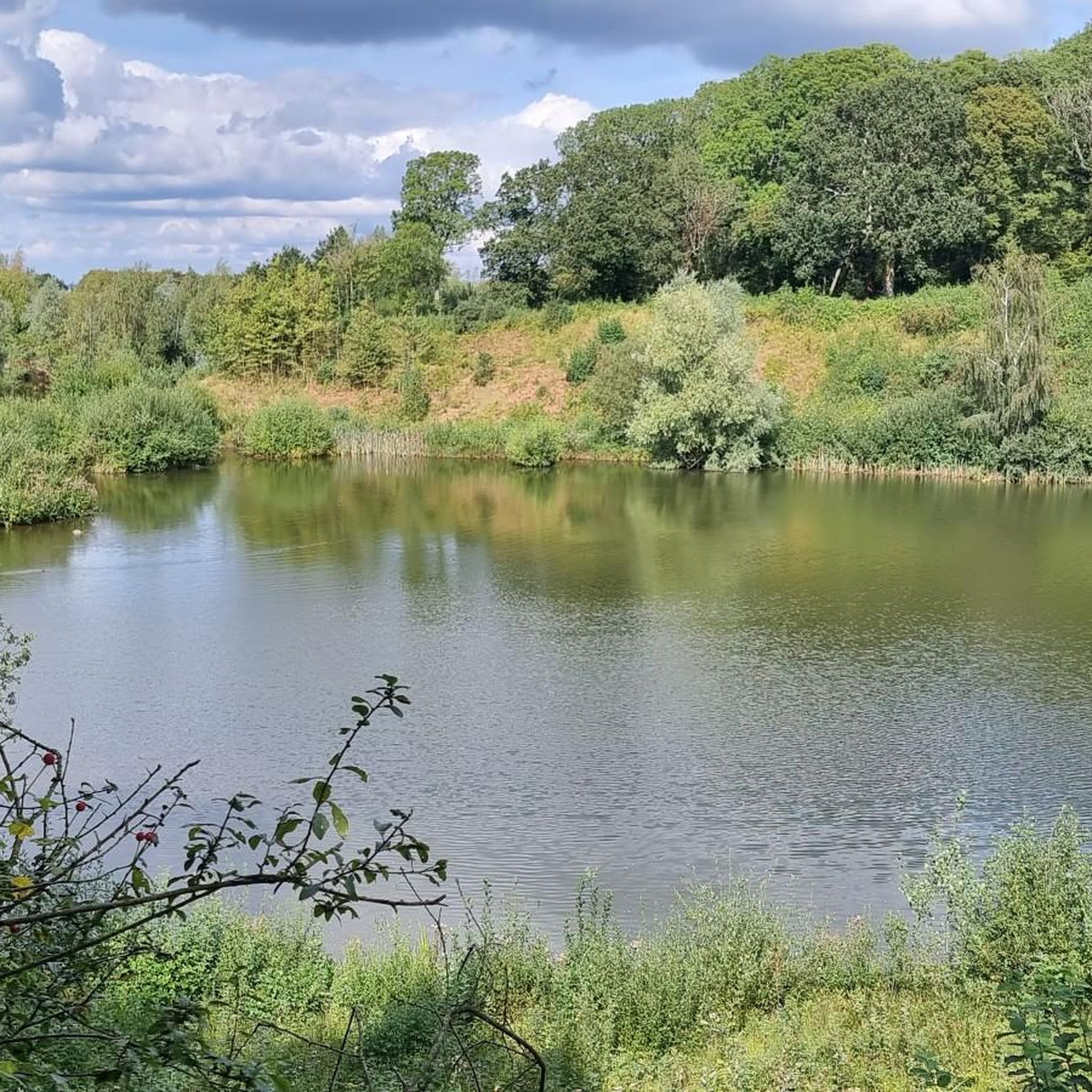
Encompassing a stretch of 3 kilometers along the northern bank of the River Leam, this nature reserve features a diverse range of habitats including woodlands, grasslands, marshes, and ponds. The ecological significance of this area lies in its capacity to support various bird species, butterflies, dragonflies, and a vibrant array of wildflowers. Apart from this, the reserve also has amenities such as a skateboard park, an adventure playground, and a dedicated area for children's play. These facilities have been strategically situated at a distance to ensure minimal disruption to the local wildlife.
1
0


Draycote Water is an artificial reservoir (23 million m3), which was completed in 1969. In addition to its function as a water reserve, it is a leisure park u.a. for anglers, sailors, hikers. The rich bird life invites also to observations. Swimming is not allowed in the lake.
1
0

A fine example of a Warwickshire town. Lovely old town centre with plenty of options for refreshments.
1
0
Very open flat fast lane through stunning farm fields to really give the legs a burst.
0
0

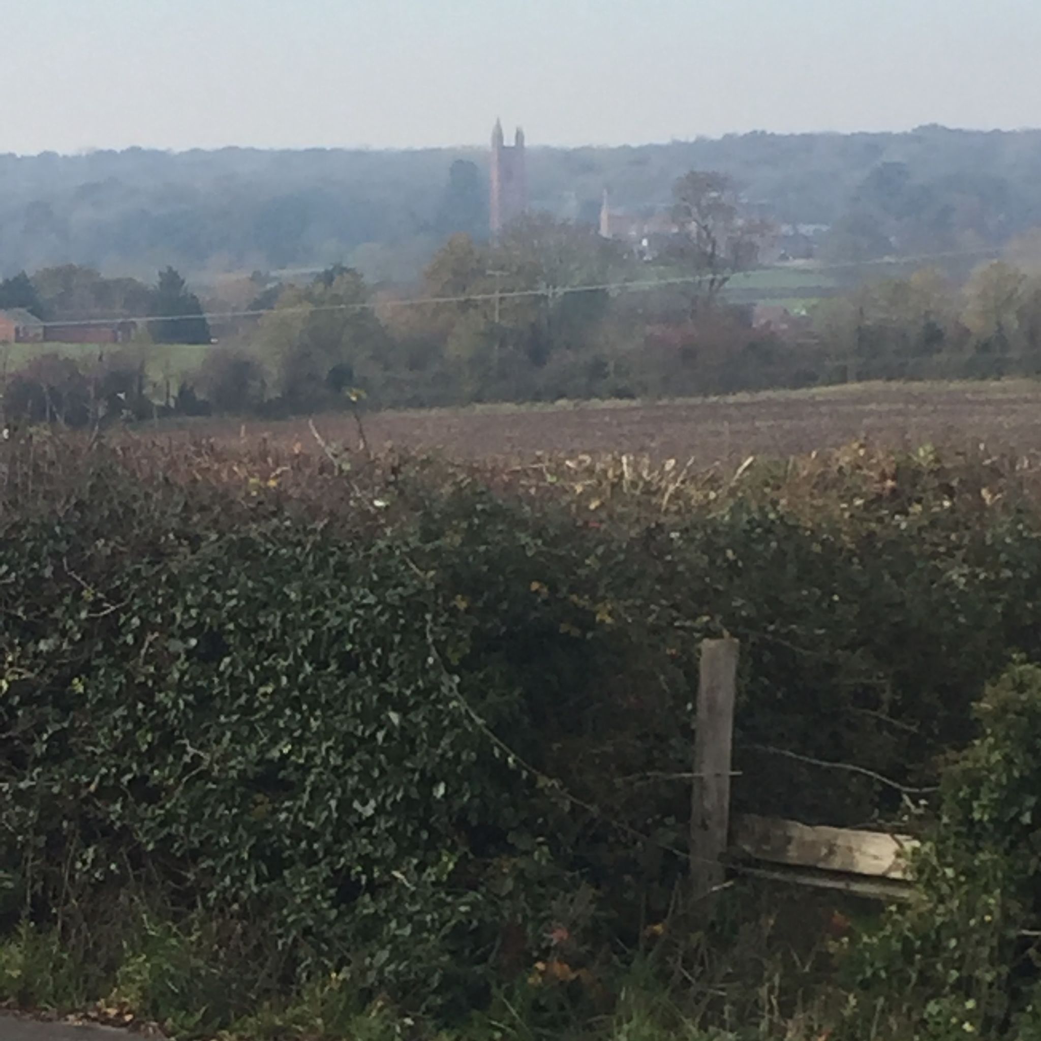
The church of ST. ESPRIT is situated on the west side of the Southam-Coventry road at the junction of the River Leam with the Itchen and stands in a small churchyard near the centre of the village. It was almost entirely rebuilt in the gothic style in 1871 and all that remains of the earlier church is the lower stage of the tower and the south arcade, both of the mid-14th century, together with an early-13th-century south doorway. The present church consists of a chancel, nave, north and south aisles, west tower, organ-chamber, and south porch. It is built of squared and coursed limestone with sandstone dressings and all the roofs are tiled. The lower part of the east wall of the chancel still retains some of the earlier walling of roughly coursed rubble with red sandstone dressings. It is lighted on the east by a pointed tracery window of three ogee trefoil lights and by a two-light on the south, both with hood-moulds. The east wall of the south aisle has a single trefoil light; the south side a three-light and a single light with trefoil heads; the west a similar window, but with two lights. The porch has a pointed entrance arch, the mouldings continued down to splayed stops. The 13th-century doorway has a pointed arch of two orders, the inner a splay and the outer a large roll-moulding, supported on detached shafts with moulded capitals and splayed impost, the outer jamb is chamfered, with a moulded stop below the impost moulding. The tower is in three stages without buttresses and it diminishes with a splayed offset to the second stage. From half way up the second stage it has been entirely rebuilt in a light-coloured sandstone ashlar. The original walls are built of coursed limestone rubble with red sandstone dressings and, except on the north side, bands of red sandstone in the middle of the first stage and again at the base of the second stage. The west face has a narrow trefoil ogee-headed window in the first stage, and in the second a narrow lancet to the ringing-chamber. The belfry has windows with pointed arches on each face, of two trefoil lights, labels with head-stops, and a string-course at the sill level. Above is a plain battlemented parapet on a moulded string-course. A modern lobby has been built at the junction of the tower with the south aisle to give an external entrance to the tower. The chancel (18 ft. 6 in. by 14 ft.) has a tiled floor, a collar-beam roof, plastered walls, and two steps to the altar. The east window has a pointed moulded rear-arch supported on shafts with moulded capitals and bases and a hood-mould with foliated stops. On the north side there is an arched opening into the organchamber. The nave (31 ft. 7 in. by 19 ft. 6 in.) has a hammerbeam roof and a tiled floor. The 14th-century arcade has two bays of pointed arches of two splayed orders supported on octagonal pillars with moulded capitals and bases, the responds repeat the arch splays and have similar moulded capitals and bases. The north arcade is a copy of the south but with more elaborately moulded capitals. Above the apex of each arch there is a pointed two-light clearstory window with widely splayed jambs and sills. The tower arch has been replaced with a modern low segmental one of two splayed orders. The chancel arch is pointed, of three splayed orders supported on three attached shafts with foliated capitals and splayed bases. The north and south aisles (31 ft. 10 in. by 8 ft. 6 in.) have lean-to roofs, tiled floors, and windows with reararches of three trefoils supported on shafts with moulded capitals and bases. At the eastern end of the south wall a badly mutilated 14th-century piscina has been built in. The tower (10 ft. 9 in. by 7 ft.) has been strengthened by increasing the thickness of the north and south walls and carrying over a segmental vault. The pulpit, placed on the south side of the chancel arch, is octagonal, of stone and coloured marble with open traceried panels. The font is also of stone with an octagonal basin, sunk trefoil panels, and stands on an octagonal coloured marble stem moulded at the base. The communion plate is modern except for one large and one small silver paten with hall mark 1773. There are three bells (fn. 47) by Hugh Watts, dated 1616, 1623, and 1624. The registers begin in 1660.
0
0
Frequently Asked Questions
What is the typical terrain and difficulty for road cycling around Princethorpe?
Road cycling around Princethorpe is characterized by verdant fields and undulating countryside. The routes generally feature gentle, rolling terrain, offering varied gradients suitable for different skill levels. While many routes are considered easy to moderate, the wider Warwickshire area, where Princethorpe is located, can also offer more challenging sections for those seeking climbs. For example, the route The Red Lion, Hunningham loop from Hunningham is a moderate 34.1-mile ride with an elevation gain of approximately 399 meters.
What natural features or landmarks can I expect to see on road cycling routes near Princethorpe?
The routes around Princethorpe offer views of idyllic English countryside, including lush green fields and natural springs. A notable feature is a lake locally known as "Switzerland." Many routes also pass by significant attractions such as Draycote Water, a large reservoir popular for recreation. You might also encounter historic landmarks like Princethorpe College, a former Catholic convent, set amidst these scenic surroundings.
Are there family-friendly road cycling routes suitable for all ages around Princethorpe?
Yes, Princethorpe offers several road cycling routes suitable for families, particularly those looking for easier rides. The area's gently undulating terrain makes it accessible. An example of an easy route is View of Draycott – Thurlaston loop from Princethorpe CP, which is 14.8 miles long with a modest elevation gain of about 83 meters, offering pleasant views.
Where can I park or access road cycling routes around Princethorpe using public transport?
While specific parking details for every route vary, many routes around Princethorpe start from villages or designated car parks. For instance, the View of Draycott – Thurlaston loop starts from Princethorpe CP (Car Park). For public transport, Princethorpe is situated within Warwickshire, a county with various bus routes connecting its villages and towns. Cyclists should check local bus schedules for connections to Princethorpe or nearby starting points for routes.
What do other road cyclists enjoy the most about road cycling in Princethorpe?
The road cycling experience in Princethorpe is highly rated by the komoot community, with an average score of 4.4 stars from over 340 reviews. Cyclists often praise the area's verdant fields, undulating countryside, and the network of rural roads that offer a peaceful and scenic ride. The variety of routes, from easy loops to more moderate challenges, is also frequently appreciated.
Are there any cafes or pubs along the road cycling routes in Princethorpe for a break?
Yes, many road cycling routes around Princethorpe incorporate stops in local villages that feature traditional English pubs and cafes. For example, the popular route The Red Lion, Hunningham loop from Hunningham suggests a stop at The Red Lion pub. These establishments provide excellent opportunities for refreshments and a rest during your ride.
How many road cycling routes are available around Princethorpe?
There are over 160 road cycling routes available around Princethorpe, catering to a wide range of abilities. This includes approximately 85 easy routes and 79 moderate routes, ensuring there's something for every road cyclist to explore in the region.
What is the best time of year for road cycling in Princethorpe?
Princethorpe's idyllic English countryside is beautiful throughout much of the year. Spring and summer offer the most pleasant conditions with warmer weather and blooming fields, making it ideal for enjoying the verdant landscapes. Autumn also provides scenic rides with changing foliage. While winter cycling is possible, be prepared for colder temperatures and potentially wet conditions on the rural roads.
Can I find longer, more challenging road cycling routes near Princethorpe?
Yes, while Princethorpe is known for its gently undulating terrain, the wider Warwickshire area offers routes that can be more challenging. For instance, the route Draycote Water – Guy Fawkes House loop from Marton CP is a moderate 45.1-mile ride with an elevation gain of approximately 354 meters, providing a good workout. The region's history of hosting professional cycling events also indicates its capacity for tougher courses.
Are there any circular road cycling routes around Princethorpe?
Yes, many of the road cycling routes around Princethorpe are designed as circular loops, allowing you to start and finish at the same point. This is convenient for cyclists using personal transport. Examples include Willoughby Duck Pond – Guy Fawkes House loop from Marton CP and View of Welsh Road – The Red Lion, Hunningham loop from Hunningham, both offering scenic circular journeys.
What kind of scenery can I expect on road cycling routes in Princethorpe?
Road cycling routes in Princethorpe offer classic English countryside scenery. You'll traverse verdant fields, experience mildly undulating countryside, and pass through charming rural villages. The routes often provide open views across farmland, and you might spot livestock. The presence of natural springs and a local lake known as "Switzerland" also adds to the picturesque landscape.
Are there any specific viewpoints or scenic spots along the routes?
Many routes offer scenic viewpoints across the Warwickshire countryside. For example, the View of Draycott – Thurlaston loop provides views towards Draycote and Thurlaston. The routes are designed to showcase the region's natural beauty, including its green spaces and waterways, ensuring a pleasant visual experience throughout your ride.
Most popular attractions around Princethorpe

Get inspired with the komoot mobile app


Explore more
Browse the best Road cycling routes in other regions.
