The best mountain hikes around Gasen
5.0
(3)
67
hikers
6
hikes
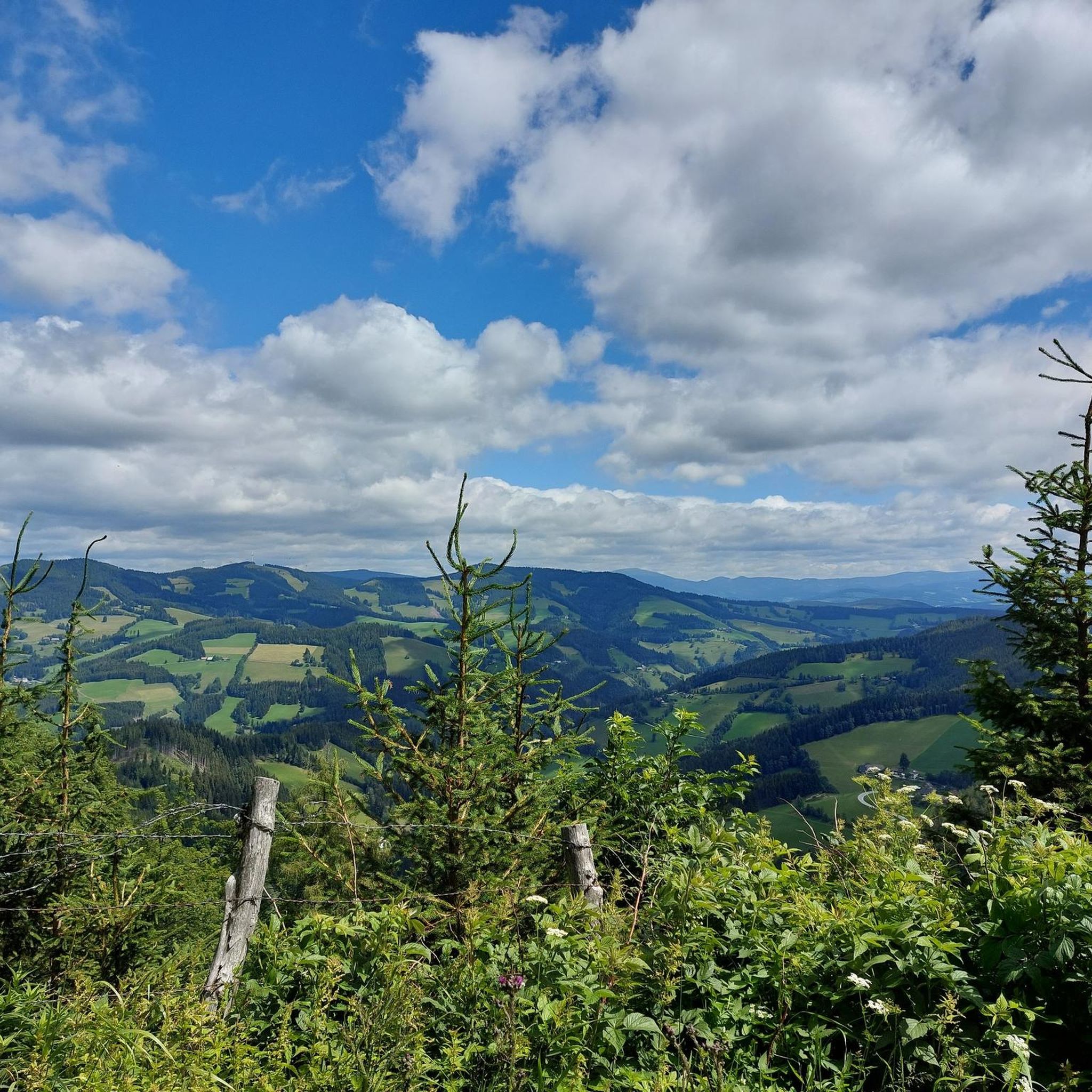
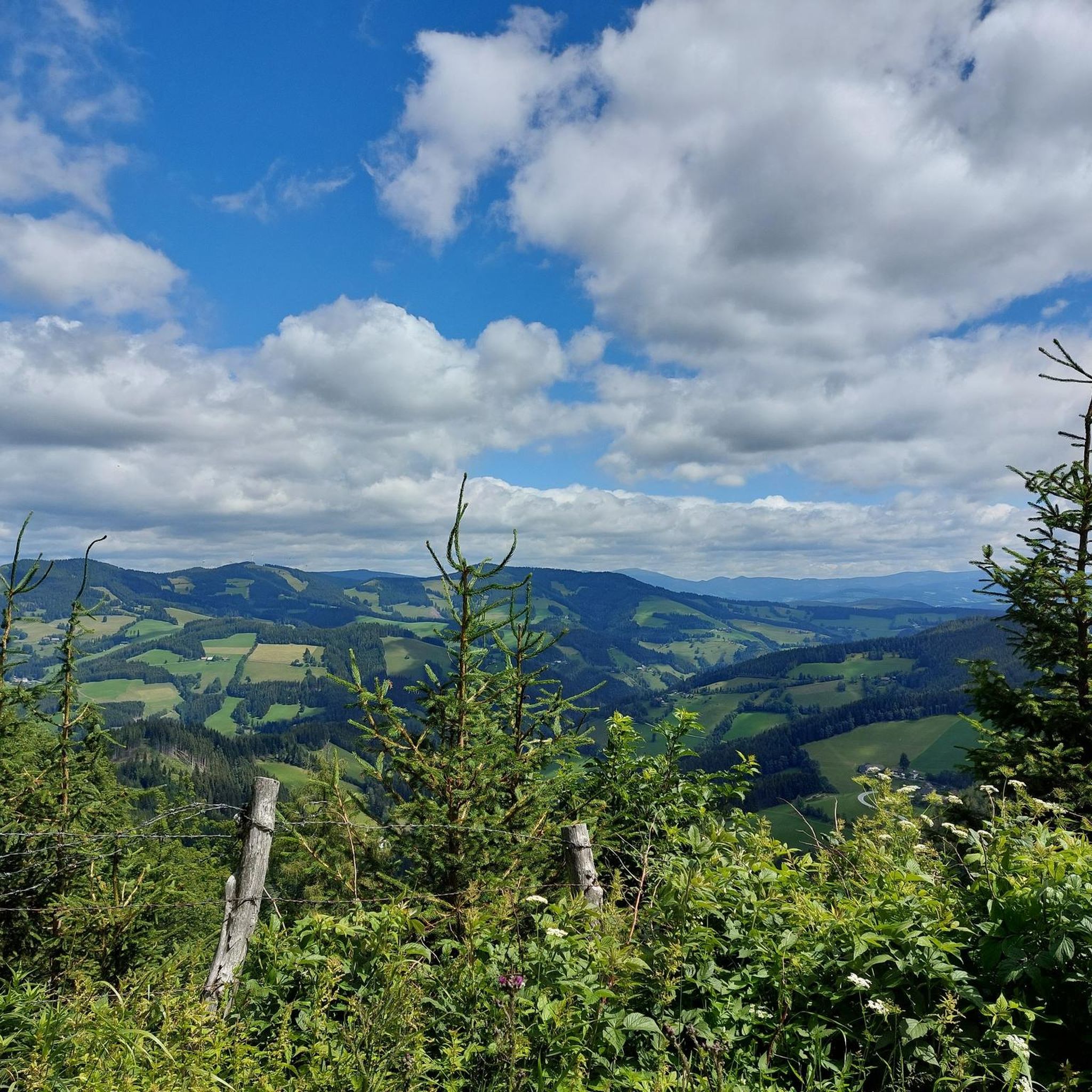
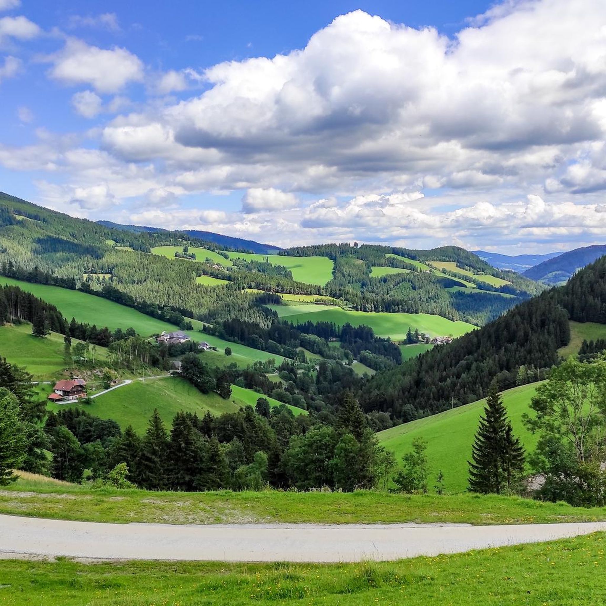
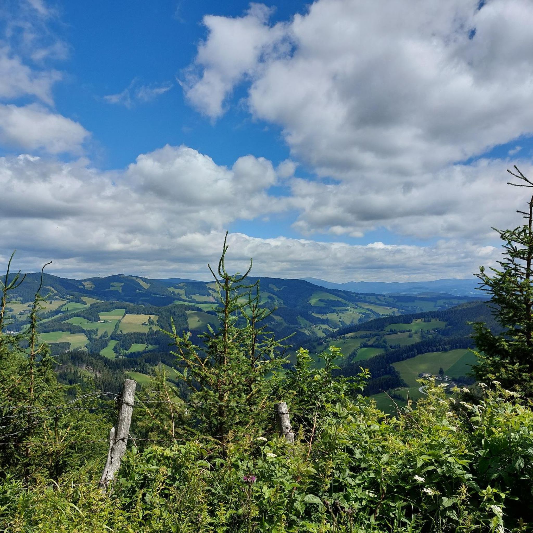
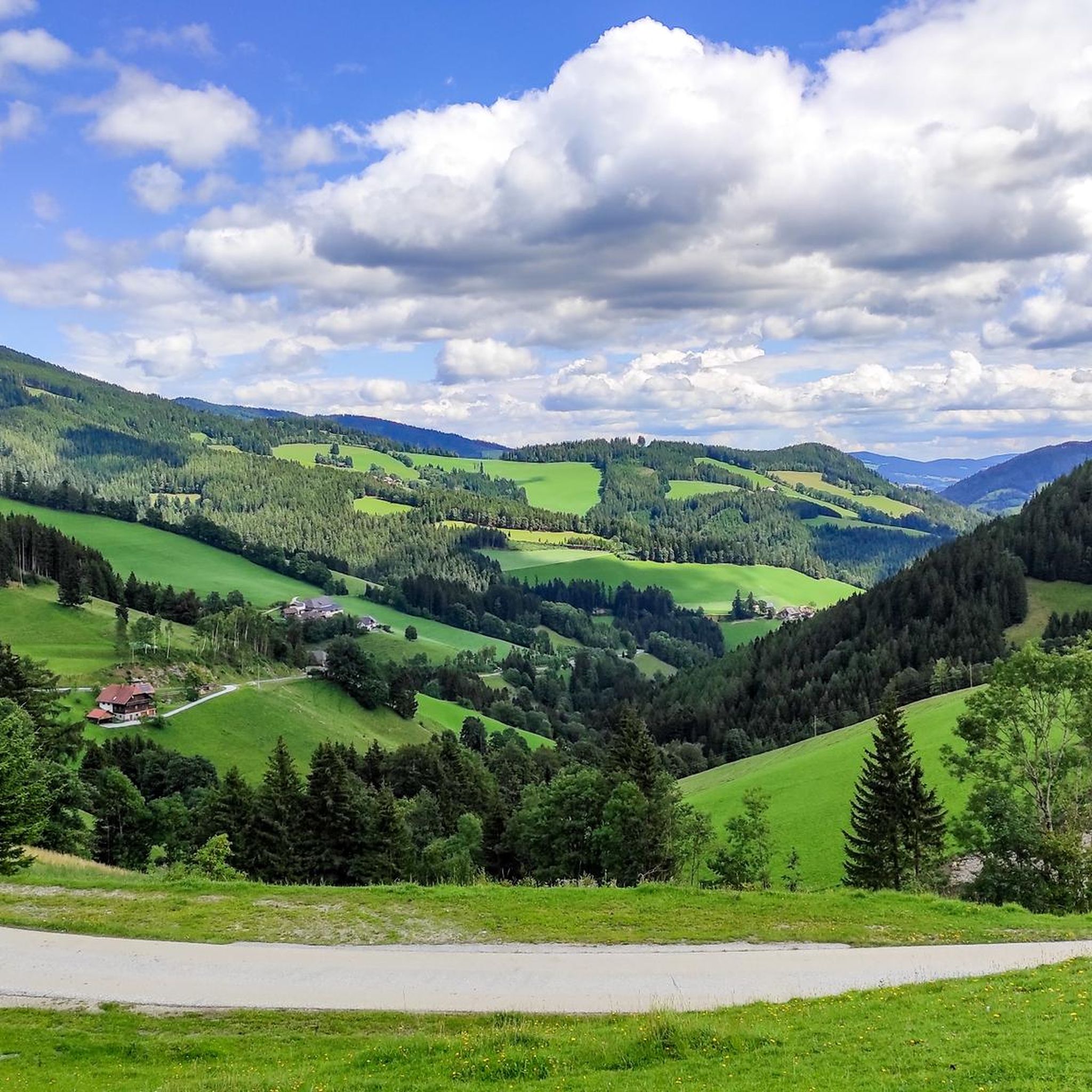
Mountaineering routes around Gasen traverse a landscape characterized by prominent summits, alpine pastures, and dense forests within the Styrian region. The area features a mix of challenging ascents to peaks like Hochlantsch and Rote Wand, alongside more accessible trails leading to mountain huts and scenic viewpoints. This mountainous terrain offers varied elevation profiles, providing diverse experiences for mountaineers.
Best mountaineering routes around Gasen
- The most popular mountaineering route is Hochlantsch Summit (1,720 m) – Mountain Church loop from Latschen-Hochmoor,…
Last updated: September 29, 2026
5.0
(1)
24
hikers
14.1km
04:28
410m
410m
Moderate mountaineering route. Good fitness required. Mostly accessible paths. Sure-footedness required.
12
hikers
17.6km
06:40
910m
910m
Hard mountaineering route. Very good fitness required. Sure-footedness, sturdy shoes and alpine experience required.

7
hikers
9.18km
03:02
440m
430m
Moderate mountaineering route. Good fitness required. Mostly accessible paths. Sure-footedness required.
5.0
(1)
11
hikers
5.31km
01:44
250m
250m
Easy mountaineering route. Great for any fitness level. Easily-accessible paths. Suitable for all skill levels.
6
hikers
5.97km
02:04
310m
310m
Moderate mountaineering route. Good fitness required. Mostly accessible paths. Sure-footedness required.
Our route recommendations are based on thousands of hikes, rides, and runs completed by other people on komoot.
Start today with a free account
Your next adventure awaits.

Tips from the Community

Beautiful mountain lake here on the Teichalm. Both a leisurely circuit and the many other hiking opportunities all around make this area a real "hiking hit".
0
0

It's located right next to the main road.
3
0
Unfortunately closed, the hut still invites you to take a rest
3
0
Wayside cross directly on the Schanzsattelbundestraße, fork in the road towards Stanglalm
3
0
The Schanzwirt is always worth a visit, good food, friendly staff
3
0
A great opportunity to start from here
3
0

A slightly longer but beautiful tour from Breitenau, for example with a descent to Mixnitz. This is also possible without a car using public transport 👌 https://www.bahn-zum-berg.at/randgebirge-oest-der-mur/wanderung-hochlantsch-ranerwand/
3
0

Wonderful place for hiking with good gastronomic surroundings
0
0
Frequently Asked Questions
How many mountaineering routes are available around Gasen?
There are 8 distinct mountaineering routes around Gasen, offering a variety of experiences for different skill levels.
What are the difficulty levels of mountaineering routes in Gasen?
The routes around Gasen cater to various abilities. You'll find 2 easy routes, 3 moderate routes, and 3 difficult routes, ensuring options for beginners and experienced mountaineers alike.
What do other mountaineers say about the routes in Gasen?
The mountaineering routes in Gasen are highly regarded by the komoot community, boasting an average rating of 5.0 stars from 7 reviews. Over 100 mountaineers have explored this varied terrain, often praising the challenging summits and scenic alpine pastures.
Are there any easy mountaineering routes suitable for beginners in Gasen?
Yes, for those seeking a less strenuous experience, the Rest Area with Prayer Cross – Teufelstein Hut loop from Fischbach is an excellent easy option. This 3.3-mile (5.3 km) route takes approximately 2 hours to complete.
Are there any circular mountaineering routes in Gasen?
Many of the routes around Gasen are designed as loops, allowing you to start and end at the same point. For example, the Teufelstein Hut – Schanz Alpine Inn loop from Schanzsattel is a moderate circular route covering 3.7 miles (6 km).
What kind of landmarks or natural features can I expect to see on the mountaineering routes?
The routes often lead to prominent summits and offer views of significant natural features. You might encounter the Hochlantsch Summit or the unique Teufelstein summit and rock formation. Many trails also pass through picturesque alpine pastures and dense forests.
Are there any mountain peaks I can reach on a mountaineering tour in Gasen?
Absolutely. The region is known for its prominent summits. Besides the well-known Hochlantsch, you can also aim for the Heulantsch Summit or the Plankogel Summit Cross, offering rewarding views.
What is the best time of year for mountaineering in Gasen?
While specific seasonal conditions for Gasen are not detailed, mountaineering in Styria generally thrives from late spring through early autumn (May to October) when trails are clear of snow and weather conditions are more stable. Always check local weather forecasts before heading out.
Are there any places to eat or stay near the mountaineering trails in Gasen?
Many mountaineering routes in the region connect to mountain huts, which often provide refreshments and sometimes accommodation. For instance, the Zellerkreuz Wayside Cross – Teufelstein Hut loop from Fischbach leads to the Teufelstein Hut, a common stop for hikers.
Is there parking available at the trailheads for mountaineering routes in Gasen?
While specific parking details for each trailhead are not provided, it is common for popular mountaineering starting points in regions like Gasen to have designated parking areas. We recommend checking the individual tour pages on komoot for more precise information on access and parking for your chosen route.
Can I find routes that are suitable for families with children?
For families, the easy routes are generally the most suitable. The Rest Area with Prayer Cross – Teufelstein Hut loop from Fischbach is an easy option that could be considered, depending on the children's experience and fitness levels. Always assess the route's distance and elevation gain carefully.
Most popular attractions around Gasen

Get inspired with the komoot mobile app


Explore more
Browse the best Mountain Hikes & Routes in other regions.
