The best mountain hikes around St. Marein im Mürztal
4.3
(6)
191
hikers
11
hikes
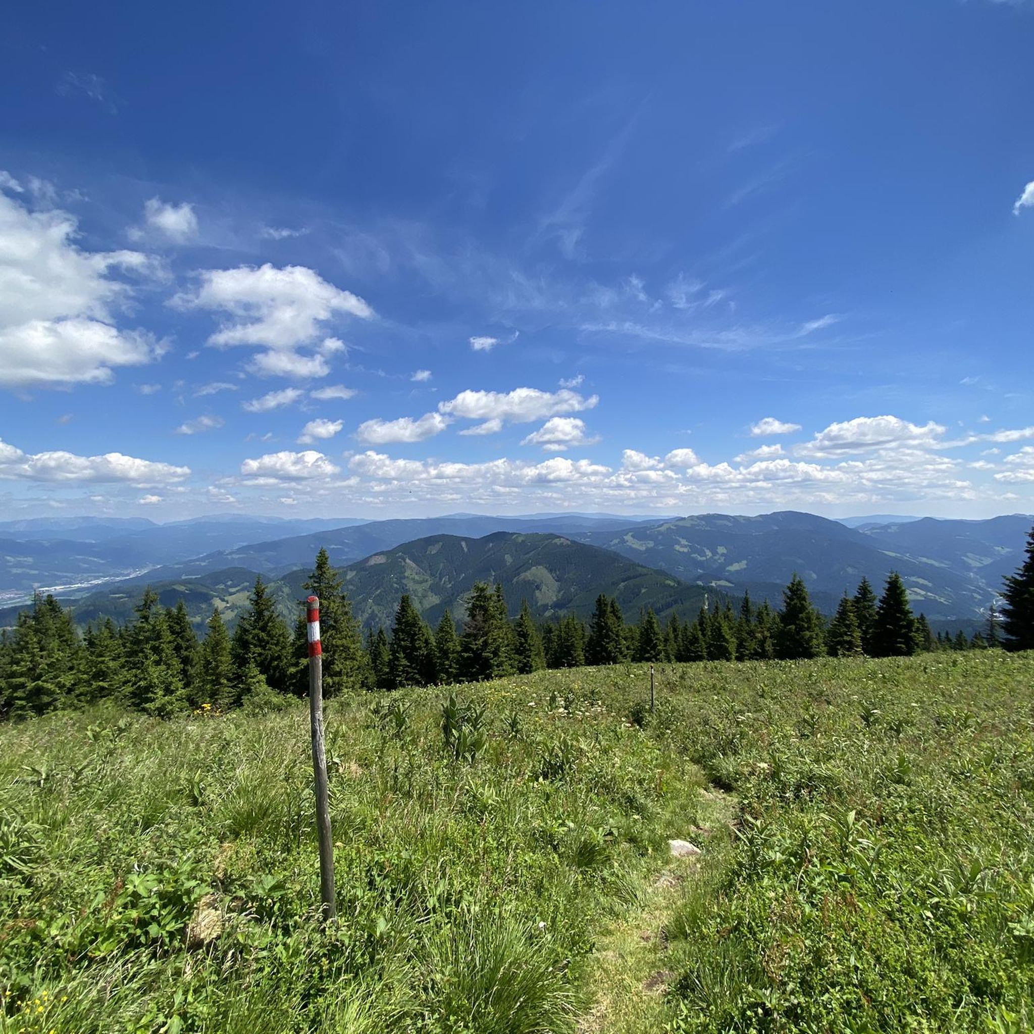
Mountaineering routes around St. Marein im Mürztal are set within the picturesque district of Bruck-Mürzzuschlag in Styria, Austria. The region is characterized by rolling hills, green forests, and the Mürztal valley, offering diverse flora and fauna. Prominent peaks like the Hochlantsch (1,720 meters) and the Rennfeld (1,625 meters) provide challenging climbs and expansive views. This area offers a varied landscape for mountaineers, ranging from valley paths to significant mountain ascents.
Best mountaineering routes around St. Marein im Mürztal
- The most…
Last updated: September 29, 2026
31
hikers
Moderate mountaineering route. Good fitness required. Mostly accessible paths. Sure-footedness required.
1.0
(1)
13
hikers
Moderate mountaineering route. Good fitness required. Mostly accessible paths. Sure-footedness required.

11
hikers
14.8km
05:59
1,080m
1,070m
Hard mountaineering route. Very good fitness required. Mostly accessible paths. Sure-footedness required.
10
hikers
17.8km
06:19
860m
860m
Hard mountaineering route. Very good fitness required. Sure-footedness, sturdy shoes and alpine experience required.
8
hikers
7.93km
02:57
470m
470m
Moderate mountaineering route. Good fitness required. Mostly accessible paths. Sure-footedness required.
Get access to more routes and recommendations from other explorers.
Already have an account?
Our route recommendations are based on thousands of hikes, rides, and runs completed by other people on komoot.
Start today with a free account
Your next adventure awaits.
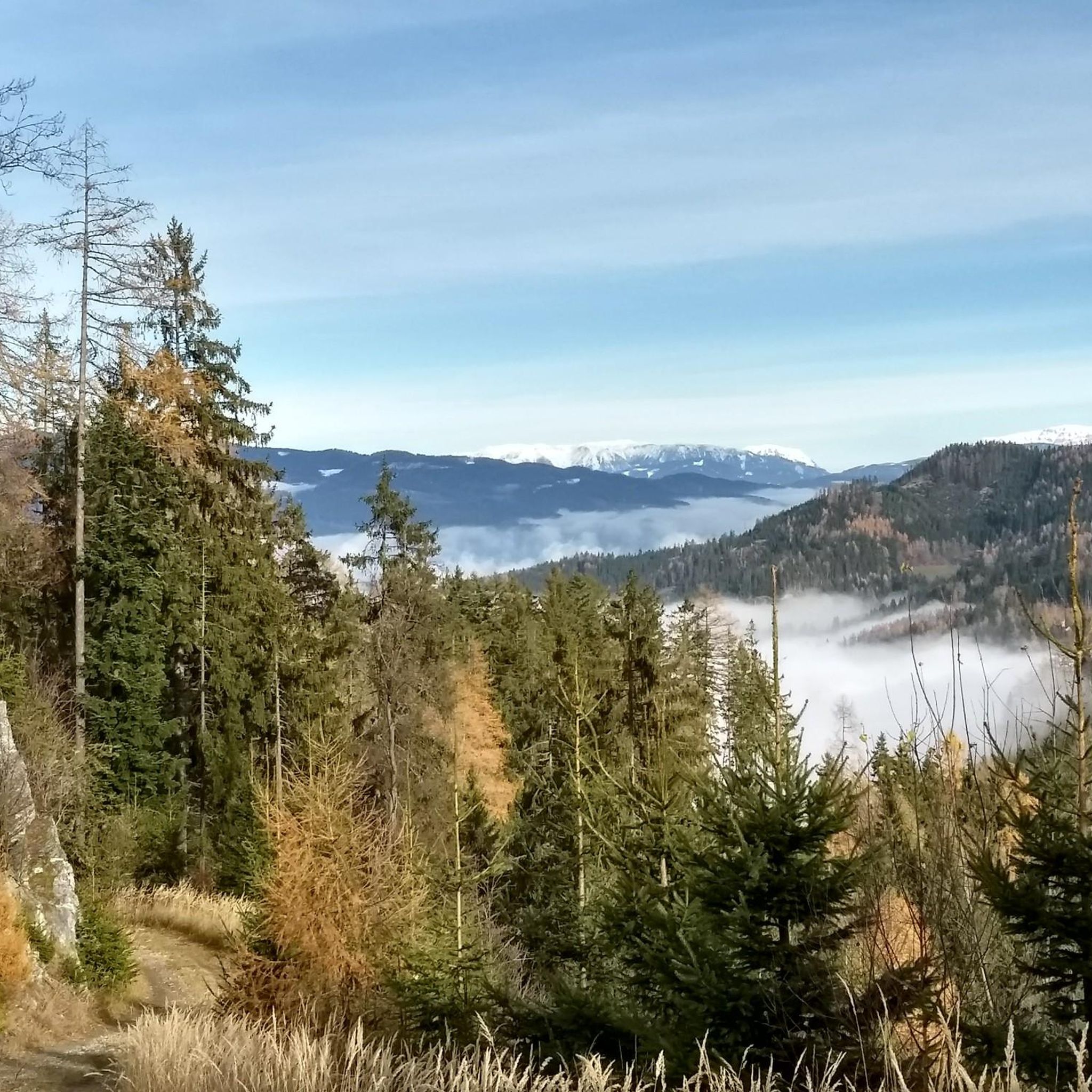
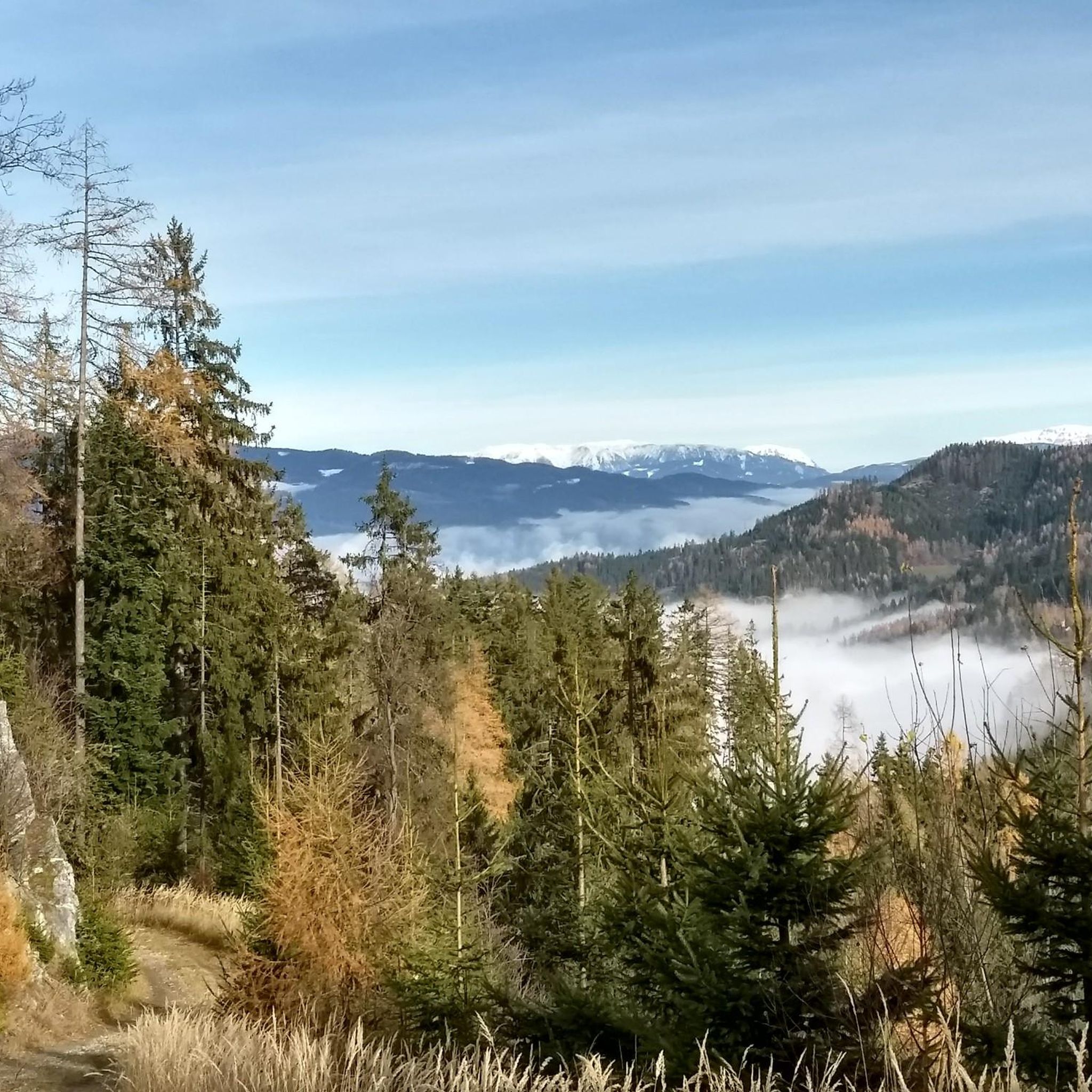
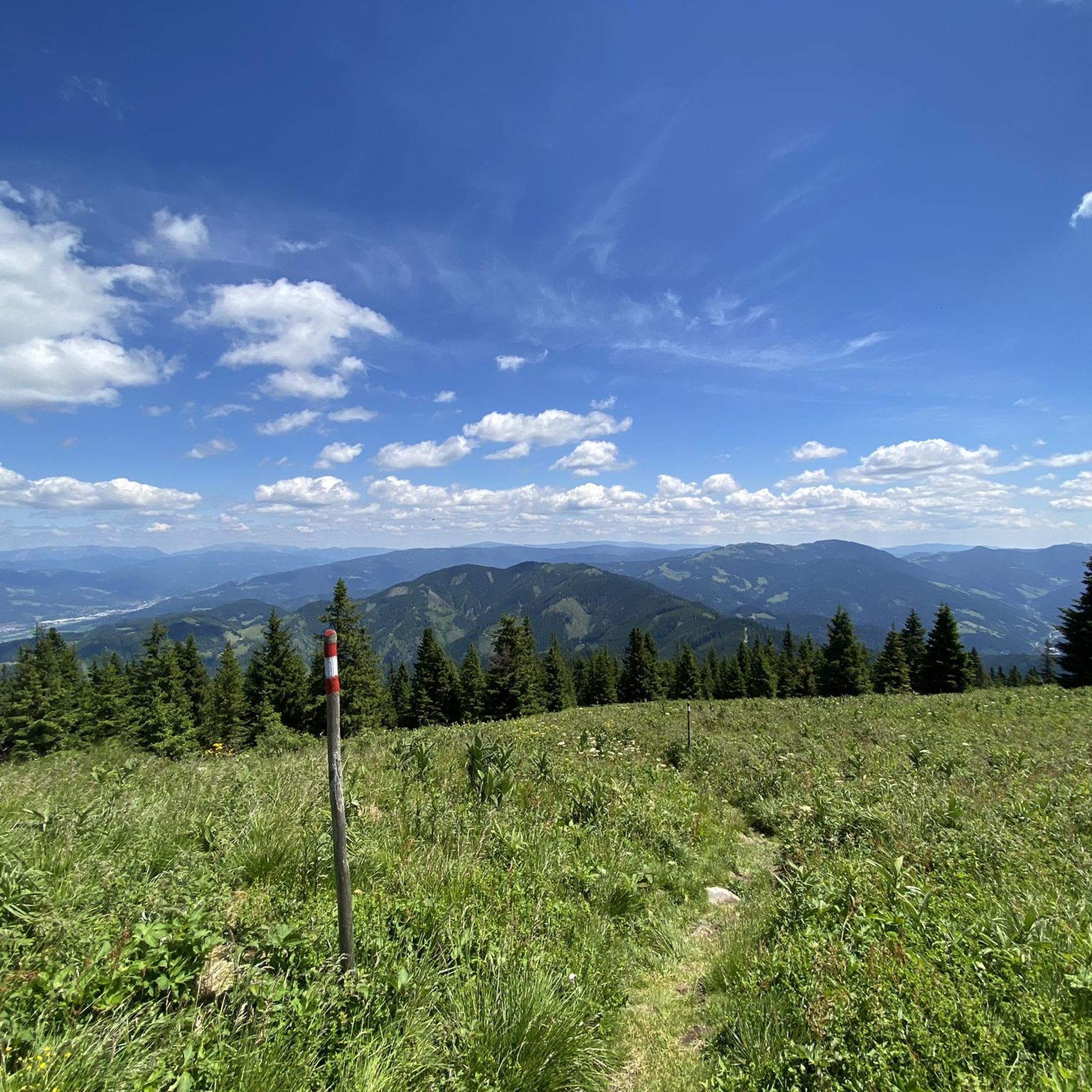
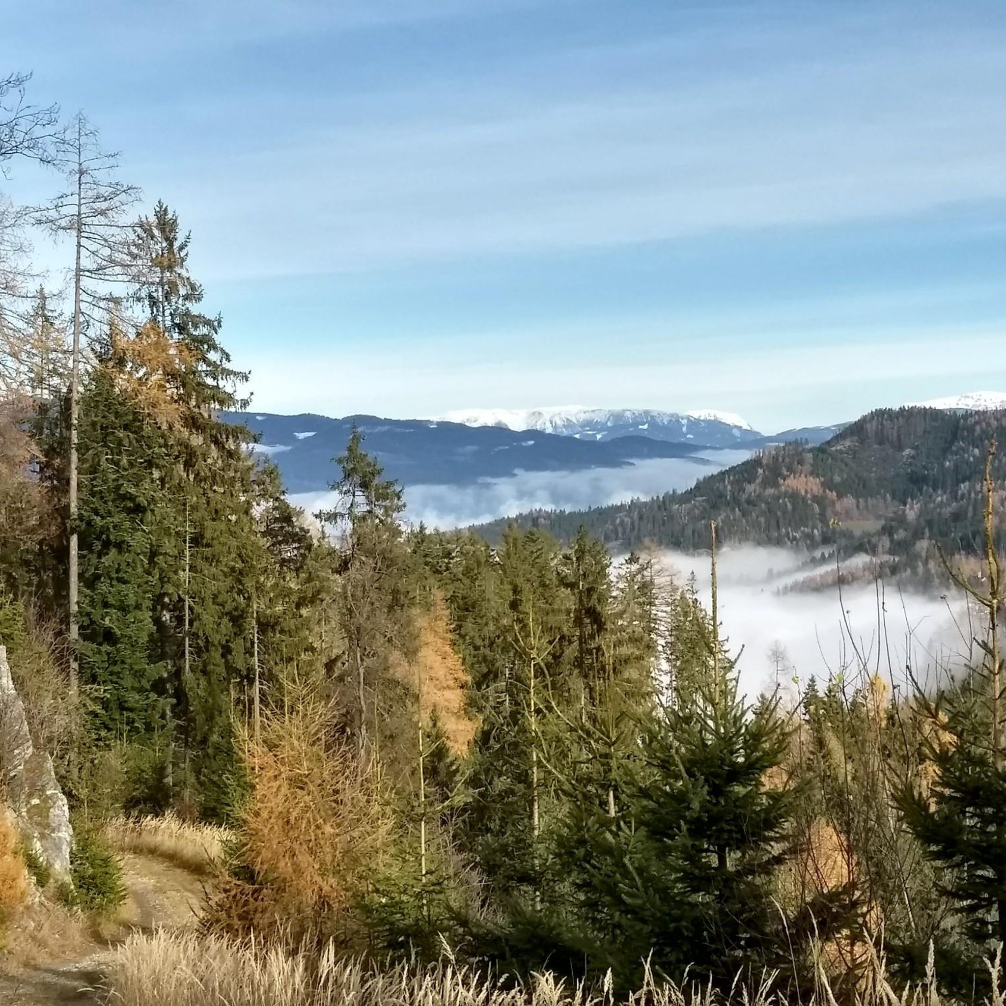
Tips from the Community

The ascent with 🚵 via Bruck is more pleasant than from Oberaich. Only at the end is there about 150 - 200m to push.
0
0

Wonderful view from the clock tower
3
0
Great snack, friendly staff
3
0
Super great view, a little in front of the possibility to stop at the nature friends
3
0
Entry to the trail, friendly staff, good food
3
0
A beautiful cross, definitely worth a visit, dedicated to the victims of both world wars
3
0
Very steep climb, but the view is worth it
3
0

Frequently Asked Questions
How many mountaineering routes are available in St. Marein im Mürztal?
There are 13 mountaineering routes around St. Marein im Mürztal, offering a range of experiences from moderate to difficult. The region's diverse terrain, with rolling hills and prominent peaks, provides varied options for mountaineers.
Are there any circular mountaineering routes in St. Marein im Mürztal?
Yes, many of the mountaineering routes in St. Marein im Mürztal are circular. For example, you can explore the Ottokar-Kernstock-Haus loop from Frauenberg, a moderate 8.2 km trail, or the more challenging Rennfeld loop from Pernegg an der Mur, which is 11.9 km long.
What is the best time of year for mountaineering in St. Marein im Mürztal?
The best seasons for mountaineering in St. Marein im Mürztal are generally spring and autumn. During these times, the weather is mild, and the landscape is particularly beautiful, adorned with blooming flowers or vibrant autumn foliage. Always check local weather conditions before heading out.
Are there any challenging mountaineering routes for experienced climbers?
Yes, St. Marein im Mürztal offers several challenging routes. For instance, the Ottokar-Kernstock-Haus loop from Pernegg an der Mur is a difficult 14.6 km route with significant elevation gain. Another demanding option is the Hochanger Shelter – Hochanger Summit Cross loop from Bruck an der Mur, covering nearly 18 km.
What kind of natural features can I expect to see along the routes?
The region is rich in natural beauty, featuring rolling hills, green forests, and the Mürztal valley with its diverse flora and fauna. You'll encounter prominent peaks like the Hochlantsch and Rennfeld, offering stunning views. The area also boasts natural jewels like Lake Teichalm, known for its crystal-clear water and surrounding mountain landscape.
Are there any mountain huts or shelters along the mountaineering trails?
Yes, there are mountain huts that can serve as destinations or rest stops. The Ottokar-Kernstock House is a notable hut in the area, accessible via several routes, such as the Ottokar-Kernstock-Haus loop from Katastralgemeinde Pischkberg. Another option is the Hochanger Shelter, which is part of the Hochanger Shelter – Hochanger Summit Cross loop.
What do other mountaineers say about the routes in St. Marein im Mürztal?
The mountaineering routes in St. Marein im Mürztal are highly rated by the komoot community, with an average score of 4.4 stars from 10 reviews. Mountaineers often praise the varied terrain, the scenic views of the Mürztal valley, and the opportunities to reach significant peaks like the Rennfeld.
Can I reach the Rennfeld peak on a mountaineering tour?
Absolutely! The Rennfeld, at 1,625 meters, is a significant peak in the region and a popular destination for mountaineers. You can take the Rennfeld loop from Pernegg an der Mur, a difficult 11.9 km trail that leads directly to the peak, offering expansive views.
Are there any specific attractions or landmarks to look out for?
Beyond the stunning natural landscapes, you can find several interesting landmarks. Near Lake Teichalm, for example, you might spot the unique Wooden Ox at Teichalm Lake. The region also features various summit crosses, such as the Hochanger Summit Cross, offering panoramic vistas.
What is the typical duration for a mountaineering tour in this area?
The duration of mountaineering tours in St. Marein im Mürztal varies depending on the route's length and difficulty. Moderate trails like the Ottokar-Kernstock-Haus loop from Frauenberg typically take around 3 hours 35 minutes. More challenging routes, such as the Rennfeld loop from Pernegg an der Mur, can take approximately 5 hours 17 minutes or more.
Are there any routes suitable for beginners or those looking for a moderate challenge?
While there are no 'easy' routes specifically listed, St. Marein im Mürztal offers several moderate mountaineering options perfect for those seeking a good challenge without extreme difficulty. The Ottokar-Kernstock-Haus loop from Frauenberg is a popular moderate trail, as is the Ottokar-Kernstock-Haus loop from Katastralgemeinde Pischkberg.
Most popular routes around St. Marein im Mürztal
Most popular attractions around St. Marein im Mürztal

Get inspired with the komoot mobile app


Explore more
Browse the best Mountain Hikes & Routes in other regions.
