The best mountain hikes around Spital am Semmering
4.7
(102)
1,468
hikers
51
hikes
Mountaineering routes around Spital am Semmering are set within the diverse and picturesque Viennese Alps, offering access to the Northern Limestone Alps. The region is characterized by prominent peaks like Stuhleck (1,782 meters) and Hirschenkogel (1,340 meters), alongside rugged terrain including Kampalpe and Bärenwand. This alpine environment features extensive forests, open meadows, and varied plant and animal life, providing a range of ascents and traverses.
Best mountaineering routes around Spital am Semmering
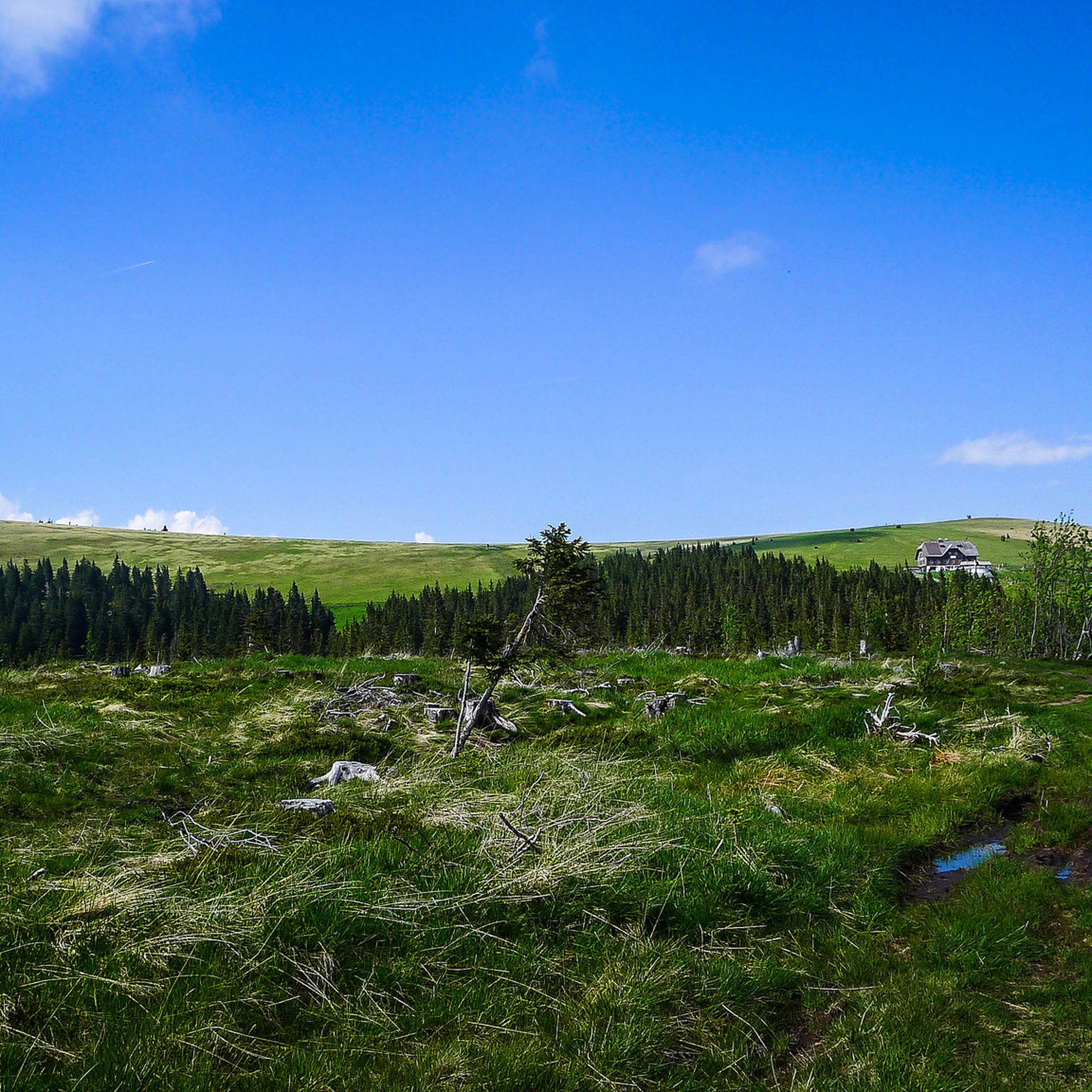
- The most popular mountaineering route is Alois-Günther-Haus – Sunset View from Stuhleck loop from Spital am Semmering, an 8.6 miles (13.9 km) trail that takes about 5 hours 8 minutes to complete. This challenging route offers significant elevation gain towards the Stuhleck summit.
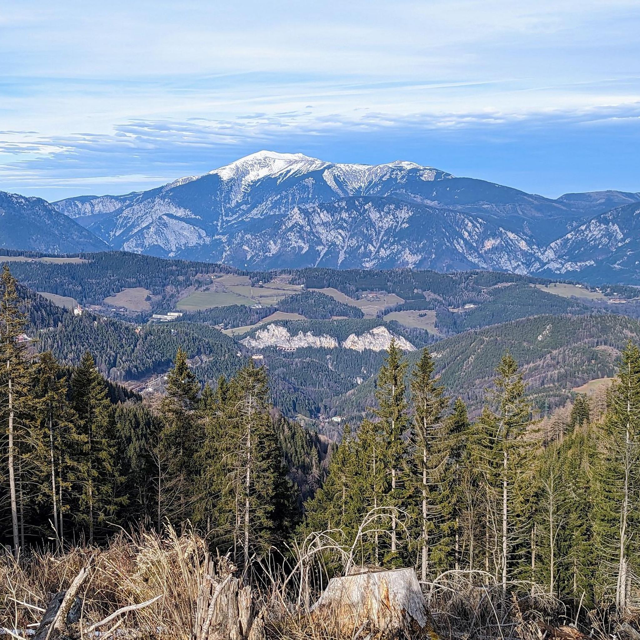
- Another top favourite among local mountaineers is Pfaffensattel Pass Parking – Alois-Günther-Haus loop from Pfaffensattel, a moderate 4.7 miles (7.6 km) path. This route provides access to mountain huts and panoramic views from higher elevations.
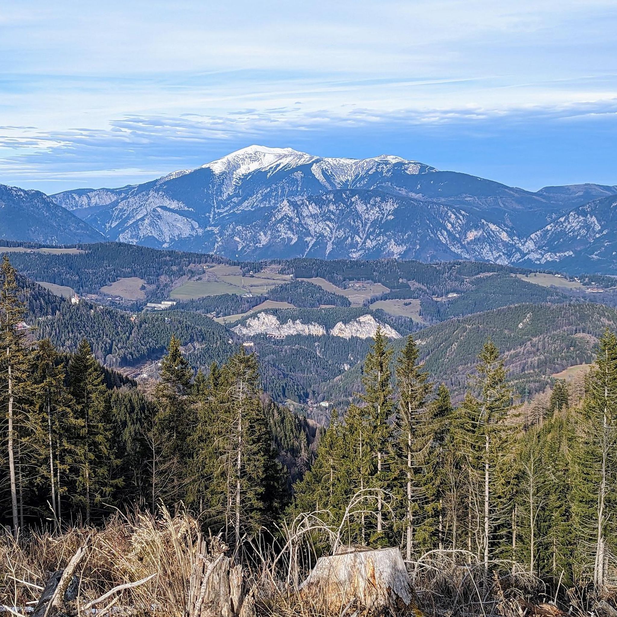
- Local mountaineers also love the Kampalpe Summit Cross – Kampalpe Summit loop from Spital am Semmering, a 5.9 miles (9.6 km) trail leading through alpine forests and open ridges, often completed in about 4 hours 5 minutes.
- Mountaineering around Spital am Semmering is defined by challenging peaks such as Stuhleck and Hirschenkogel, scenic trails along the historic Semmering Railway, and well-preserved natural environments. The network offers options for various ability levels, from moderate ascents to more demanding summit routes.
- The routes in Spital am Semmering are highly rated by the komoot community with an average score of 4.7 stars from more than 100 reviews. More than 1,500 mountaineers have used komoot to explore Spital am Semmering's varied terrain.
Last updated: July 1, 2026
32
hikers
13.9km
05:08
870m
870m
Hard mountaineering route. Very good fitness required. Mostly accessible paths. Sure-footedness required.
5.0
(1)
18
hikers
7.61km
02:48
460m
460m
Moderate mountaineering route. Good fitness required. Mostly accessible paths. Sure-footedness required.

Sign up for free
17
hikers
16.8km
06:34
1,020m
1,020m
Hard mountaineering route. Very good fitness required. Mostly accessible paths. Sure-footedness required.
4.0
(3)
13
hikers
9.55km
04:05
730m
730m
Hard mountaineering route. Good fitness required. Sure-footedness, sturdy shoes and alpine experience required.
13
hikers
11.6km
04:27
760m
760m
Moderate mountaineering route. Good fitness required. Mostly accessible paths. Sure-footedness required.
Get access to more routes and recommendations from other explorers.
Sign up for free
Already have an account?
Our route recommendations are based on thousands of hikes, rides, and runs completed by other people on komoot.
Start today with a free account
Your next adventure awaits.
Login or Signup
Popular around Spital am Semmering

Other adventures around Spital am Semmering

Tips from the Community

A highlight you have to do once
3
0
Beautiful church, worth seeing
3
0
Many visitors erect their stone sculptures here.
4
0
Beautiful cross at the summit, Alois Günther mountain hut
4
0

My favorite spot on the entire ridge.
1
0

Highest point of the Fischbach Alps! Magnificent views of Schneeberg, Rax, Schneeakpe, Veitsch, Hochschwab, Hochwechsel, Sonnwendstein and Hochlantsch.
0
0
Nice place to take a break
3
0
Nice little place, pleasant in summer, crowded in winter
3
0
Frequently Asked Questions
How many mountaineering routes are available around Spital am Semmering?
There are over 50 mountaineering routes around Spital am Semmering, catering to various skill levels. You'll find a wide selection, from moderate ascents to more challenging summit routes.
What is the best time of year for mountaineering in Spital am Semmering?
The region is beautiful year-round, but for mountaineering, late spring through early autumn (May to October) generally offers the most favorable conditions with less snow and more stable weather. During summer, you can enjoy vibrant wildflowers and diverse flora. Winter transforms the area into a snow sports paradise, with opportunities for snowshoe hikes and ski tours, though these require different equipment and experience.
Are there any family-friendly mountaineering routes in the area?
While many mountaineering routes require good fitness, there are options suitable for families looking for a less strenuous experience. For example, the region offers well-marked hiking trails that are less demanding than full mountaineering ascents. Look for routes described as 'moderate' or 'easy' for family outings, keeping in mind that even moderate routes can have significant elevation changes.
Can I bring my dog on the mountaineering trails around Spital am Semmering?
Many trails in the Spital am Semmering region are dog-friendly, but it's always best to check specific route regulations. Ensure your dog is well-behaved, kept on a leash where required, and that you carry enough water for both of you, especially on longer or more exposed routes. Be mindful of livestock and wildlife.
Are there any circular mountaineering routes available?
Yes, many mountaineering routes in Spital am Semmering are designed as loops, allowing you to start and end at the same point. An example of a challenging circular route is the Alois-Günther-Haus – Sunset View from Stuhleck loop from Spital am Semmering, which offers significant elevation gain towards the Stuhleck summit. For a moderate option, consider the Pfaffensattel Pass Parking – Alois-Günther-Haus loop from Pfaffensattel.
What kind of views can I expect on the mountaineering routes?
The mountaineering routes around Spital am Semmering offer breathtaking panoramic views. From peaks like Hirschenkogel (1,340 meters) and Stuhleck (1,782 meters), you can enjoy 360-degree vistas spanning the Semmering region, the Rax and Schneeberg mountains, and extending into Styria and the Vienna Basin. You'll also encounter scenic trails along the historic Semmering Railway, providing unique perspectives of this UNESCO World Heritage site.
Are there mountain huts or places to stop for refreshments along the trails?
Yes, the region is dotted with numerous mountain huts that offer welcoming stops for hikers and mountaineers. These huts, such as the Waldburganger Hütte and Pollereshütte, provide opportunities to rest, enjoy traditional culinary delights, and refuel amidst nature. The Pfaffensattel Pass Parking – Alois-Günther-Haus loop from Pfaffensattel, for instance, provides access to mountain huts.
What are some notable landmarks or attractions to see near the mountaineering routes?
Beyond the stunning natural landscapes, you can explore several interesting landmarks. The Hirschenkogel Millennium Observation Tower offers incredible panoramic views. You might also encounter historical sites like the Ruins of Klamm Castle or the Reichenau an der Rax Castle, which are part of the rich cultural heritage of the region.
How challenging are the mountaineering routes in Spital am Semmering?
The routes vary significantly in difficulty. You'll find a mix of moderate and difficult trails. For example, the Kampalpe Summit Cross – Kampalpe Summit loop from Spital am Semmering is considered difficult, leading through alpine forests and open ridges. There are also moderate options like the Stone Cairns at the Summit – Sunset View from Stuhleck loop from Spital am Semmering. Some routes require good fitness and sure-footedness, while others demand alpine experience.
What do other mountaineers say about the routes in Spital am Semmering?
The mountaineering routes in Spital am Semmering are highly rated by the komoot community, with an average score of 4.7 stars from over 100 reviews. Mountaineers often praise the challenging peaks, scenic trails, and the well-preserved natural environments that define the region.
Are there options for beginners looking to try mountaineering?
While many routes are challenging, there are some easier options available, with 17 routes classified as moderate and 1 as easy. These routes can be a good starting point for beginners to gain experience and confidence in an alpine environment. It's always recommended to choose routes that match your current fitness and skill level and to consider guided tours if you're new to mountaineering.
Can I access the mountaineering trailheads using public transport?
Spital am Semmering is generally well-connected, and some trailheads may be accessible via public transport. The Styrian Railway Hiking Trail, for instance, passes through Spital am Semmering, suggesting good connectivity. However, for specific trailheads, it's advisable to check local bus or train schedules and connections to ensure direct access or plan for a short taxi ride.
Most popular routes around Spital am Semmering
Most popular attractions around Spital am Semmering

Get inspired with the komoot mobile app


Explore more
Browse the best Mountain Hikes & Routes in other regions.
