The best mountain hikes around Bruck an der Mur
4.2
(9)
288
hikers
17
hikes
Mountaineering around Bruck an der Mur is defined by its location at the confluence of the Mur and Mürz rivers, surrounded by mountain ranges such as Hochschwab, Rax-Schneeberg, and local peaks like Hochanger and Mugel. The region features dramatic alpine scenery, extensive forests, and river valleys, offering diverse terrain for mountaineering. These landscapes provide a range of routes from moderate to difficult, characterized by significant elevation changes and varied paths.
Best mountaineering routes around Bruck an der Mur
- The most…
Last updated: September 29, 2026
31
hikers
Moderate mountaineering route. Good fitness required. Mostly accessible paths. Sure-footedness required.
24
hikers
Moderate mountaineering route. Good fitness required. Mostly accessible paths. Sure-footedness required.

4.0
(2)
15
hikers
10.3km
04:23
800m
800m
Moderate mountaineering route. Good fitness required. Mostly accessible paths. Sure-footedness required.
1.0
(1)
13
hikers
Moderate mountaineering route. Good fitness required. Mostly accessible paths. Sure-footedness required.
10
hikers
17.8km
06:19
860m
860m
Hard mountaineering route. Very good fitness required. Sure-footedness, sturdy shoes and alpine experience required.
Get access to more routes and recommendations from other explorers.
Already have an account?
Our route recommendations are based on thousands of hikes, rides, and runs completed by other people on komoot.
Start today with a free account
Your next adventure awaits.
Popular around Bruck an der Mur
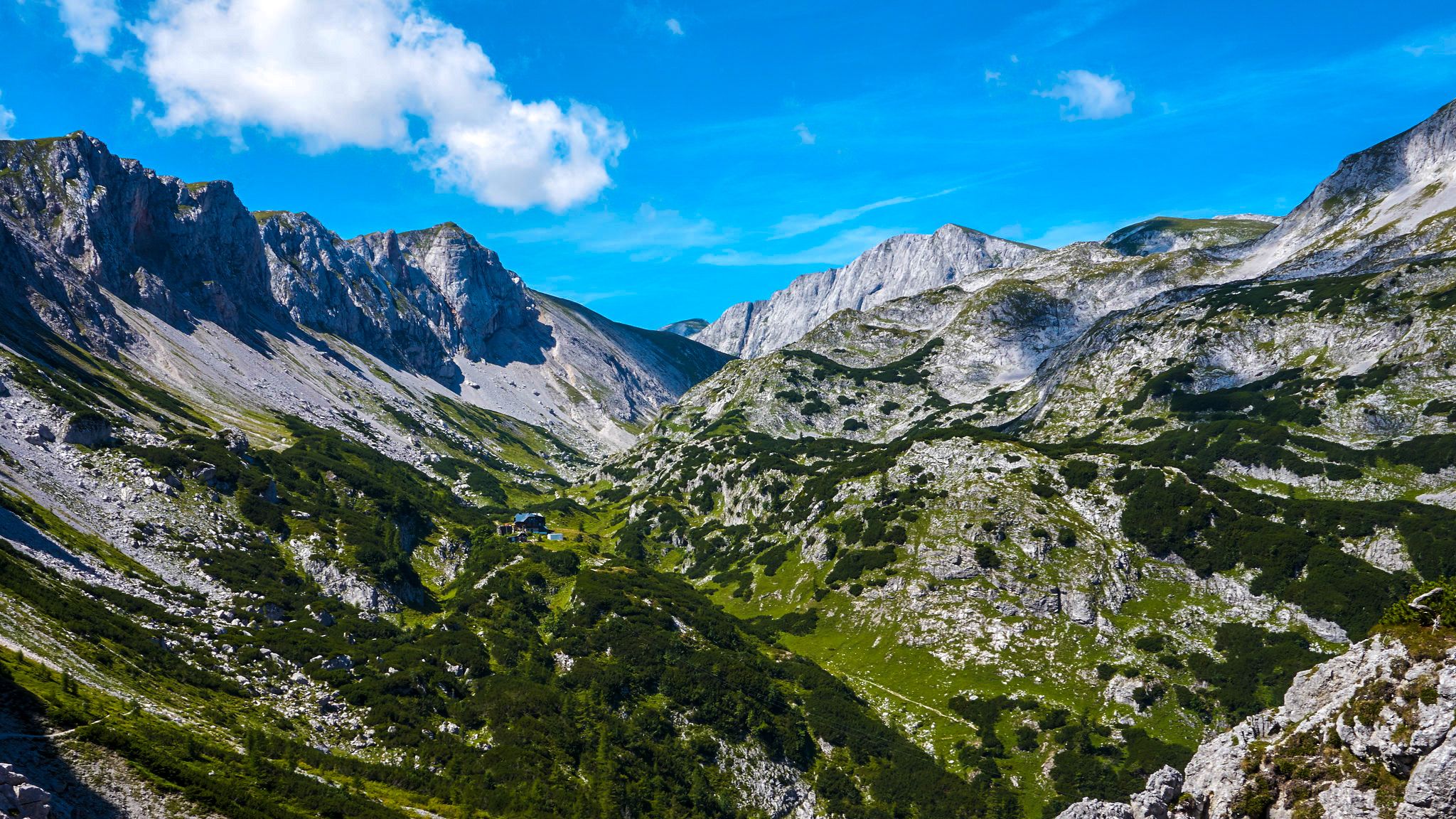
The BergZeitReise – a beautiful long-distance hiking trail across Styria
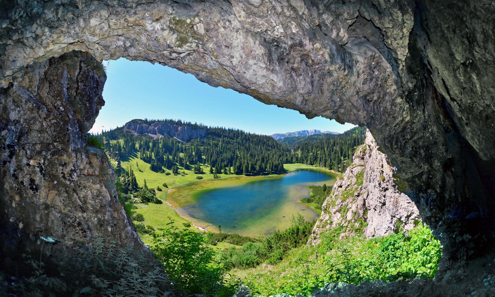
BergZeitReise – from glacier to wine in high Styria
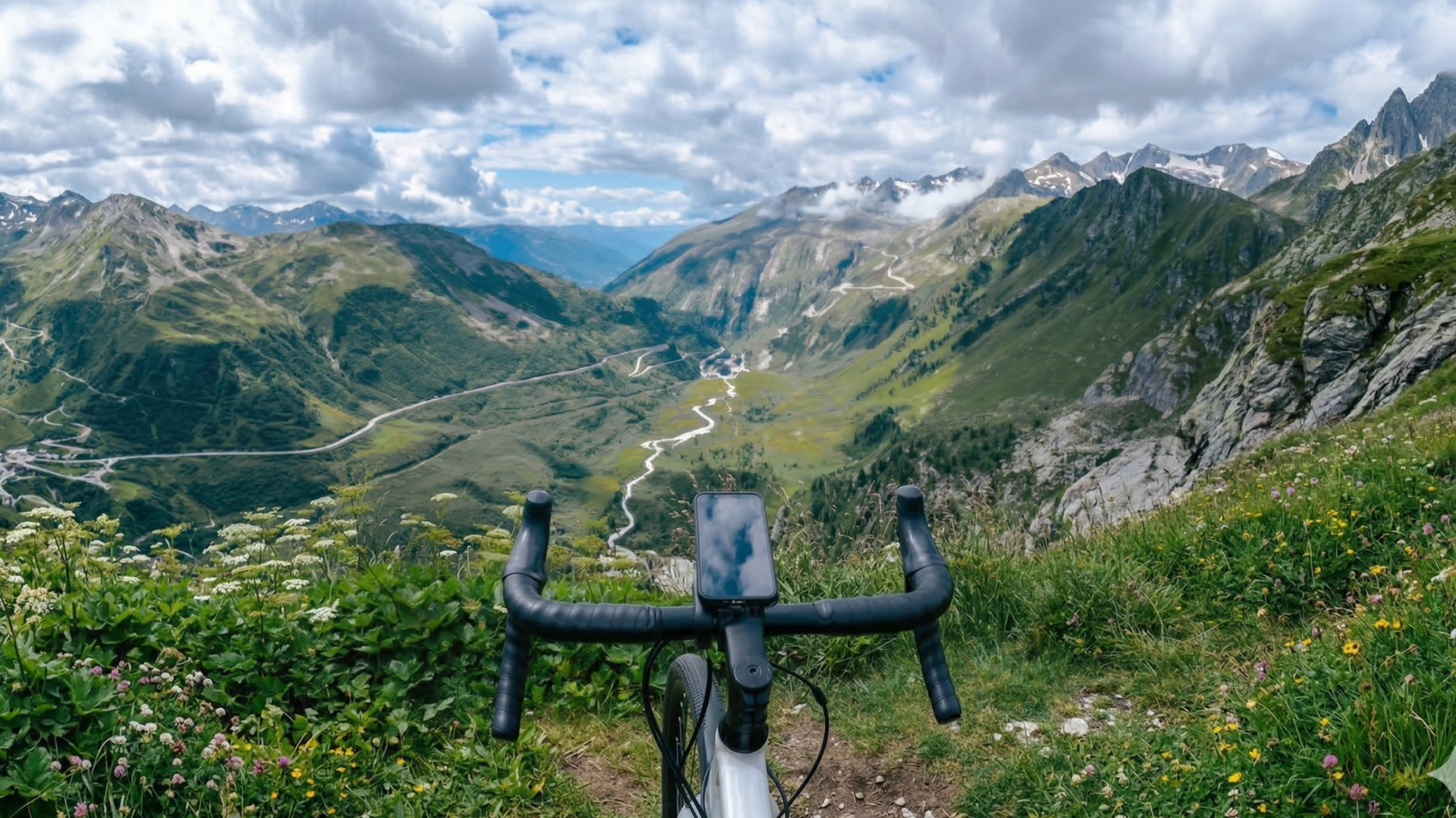
Mit FESCHD zu den schönsten Naturorten Österreichs
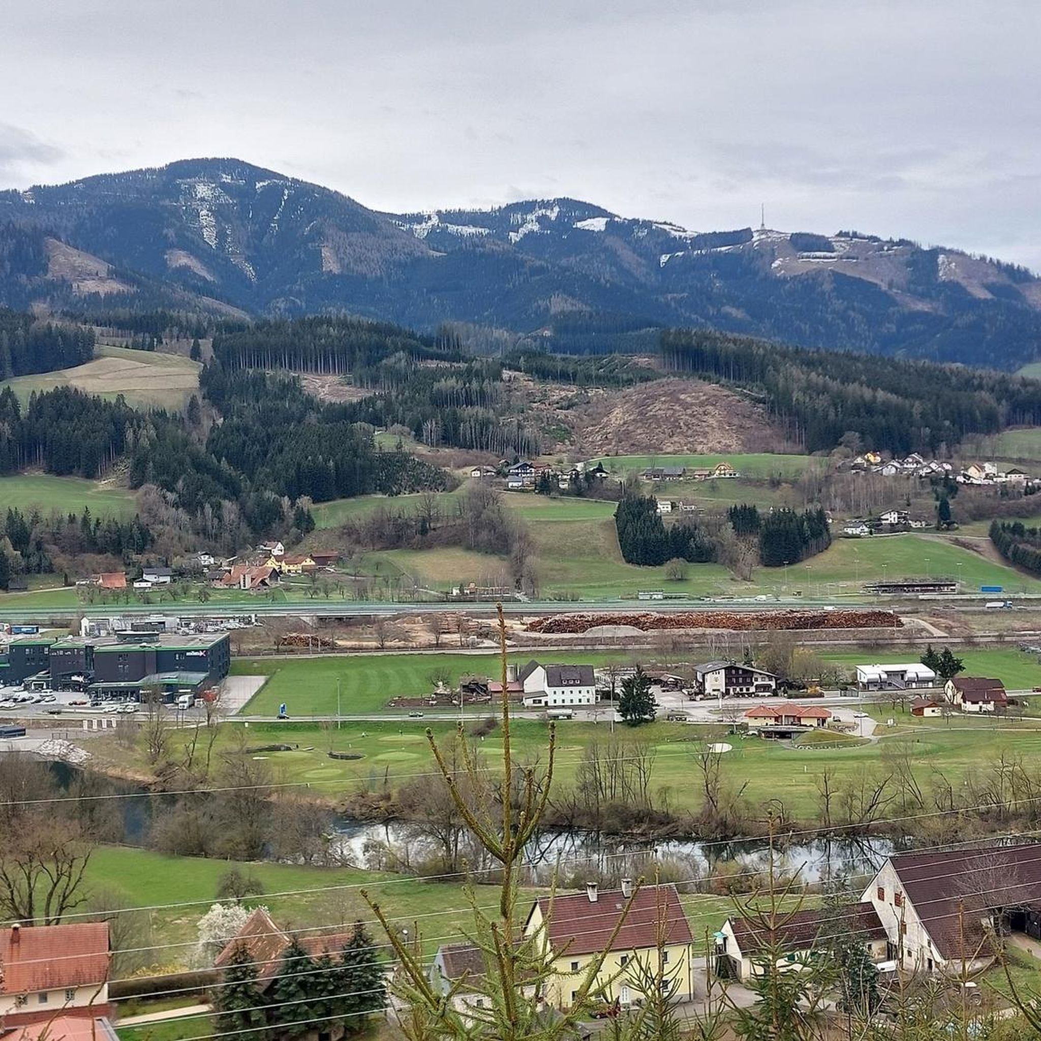
Hiking around Bruck an der Mur
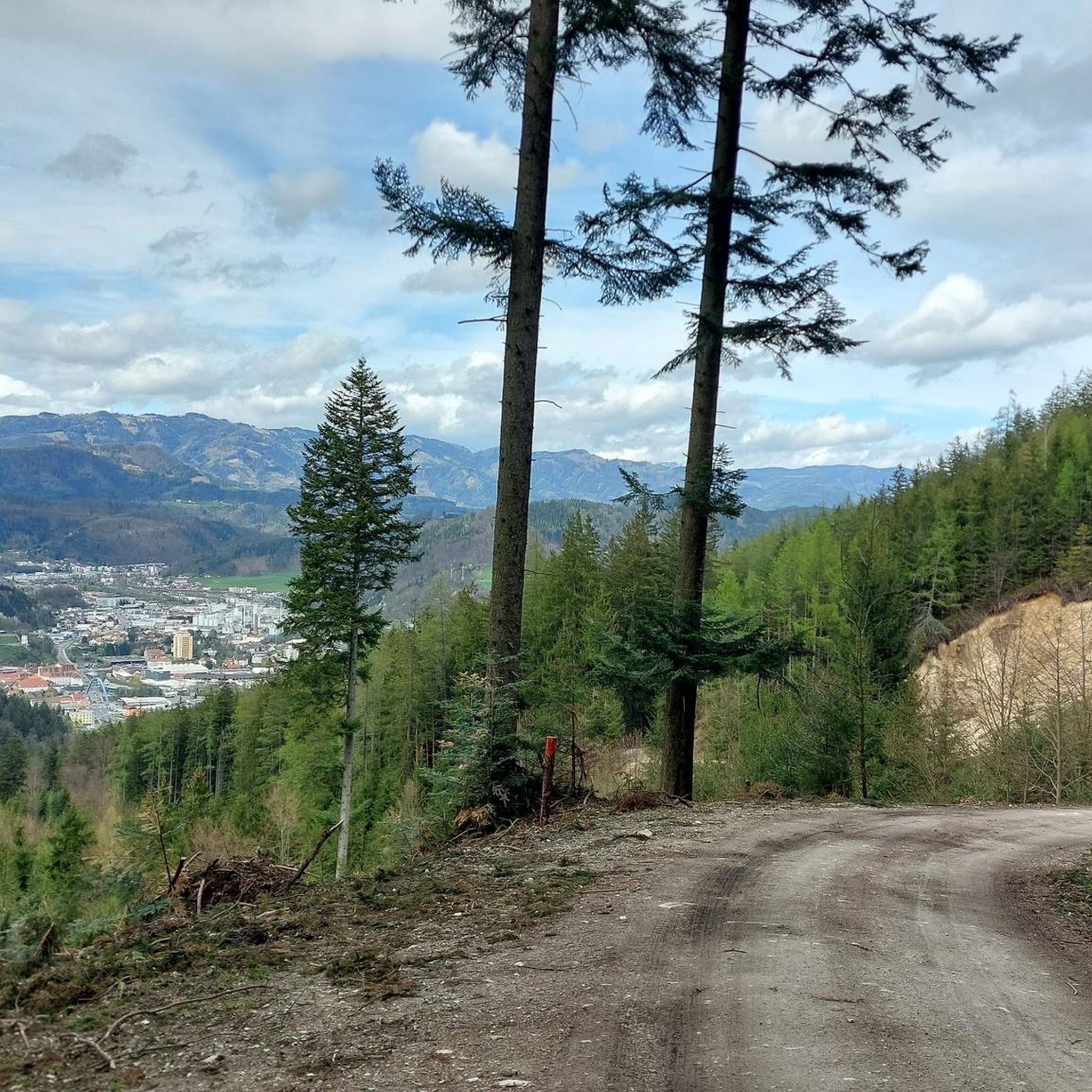
MTB Trails around Bruck an der Mur
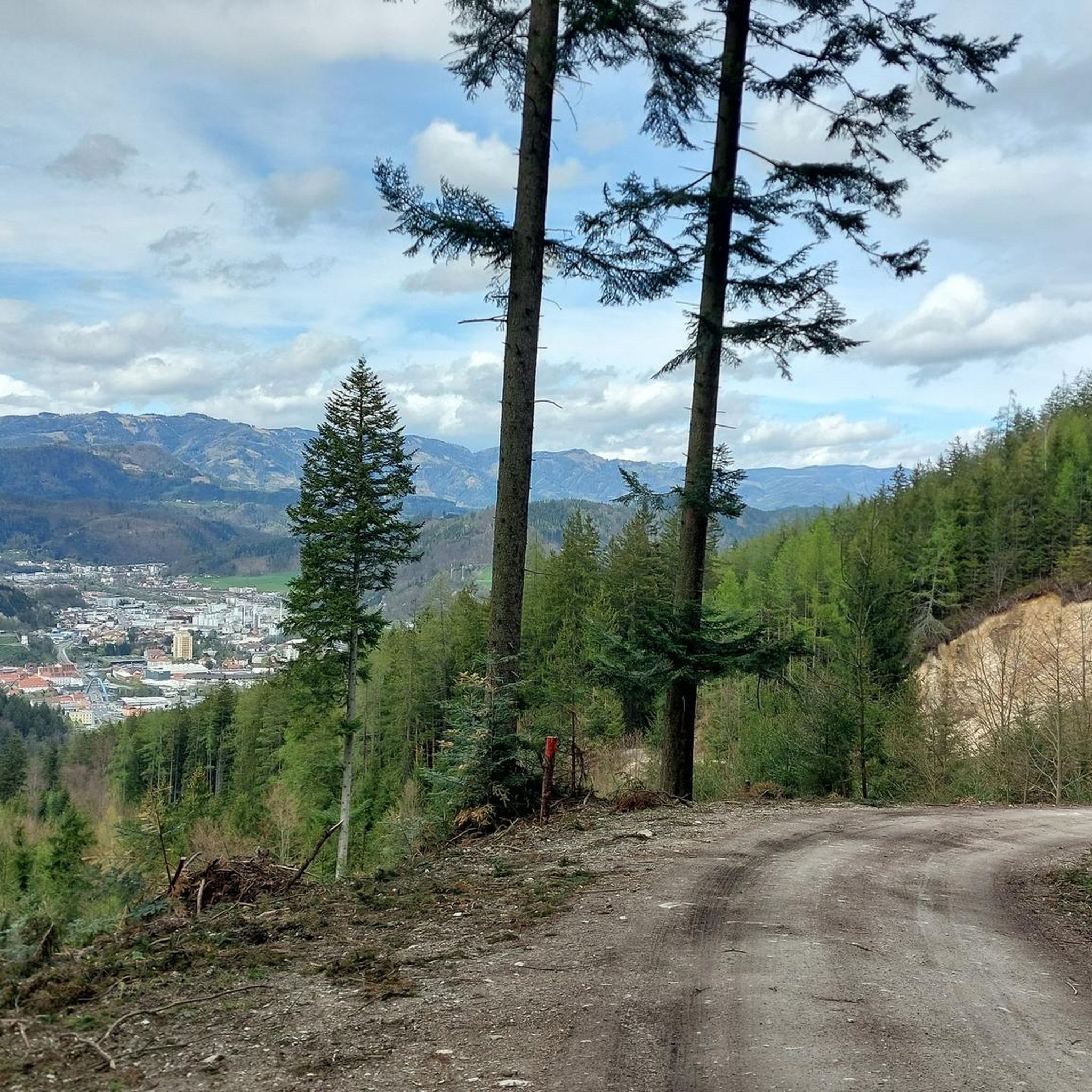
Cycling around Bruck an der Mur
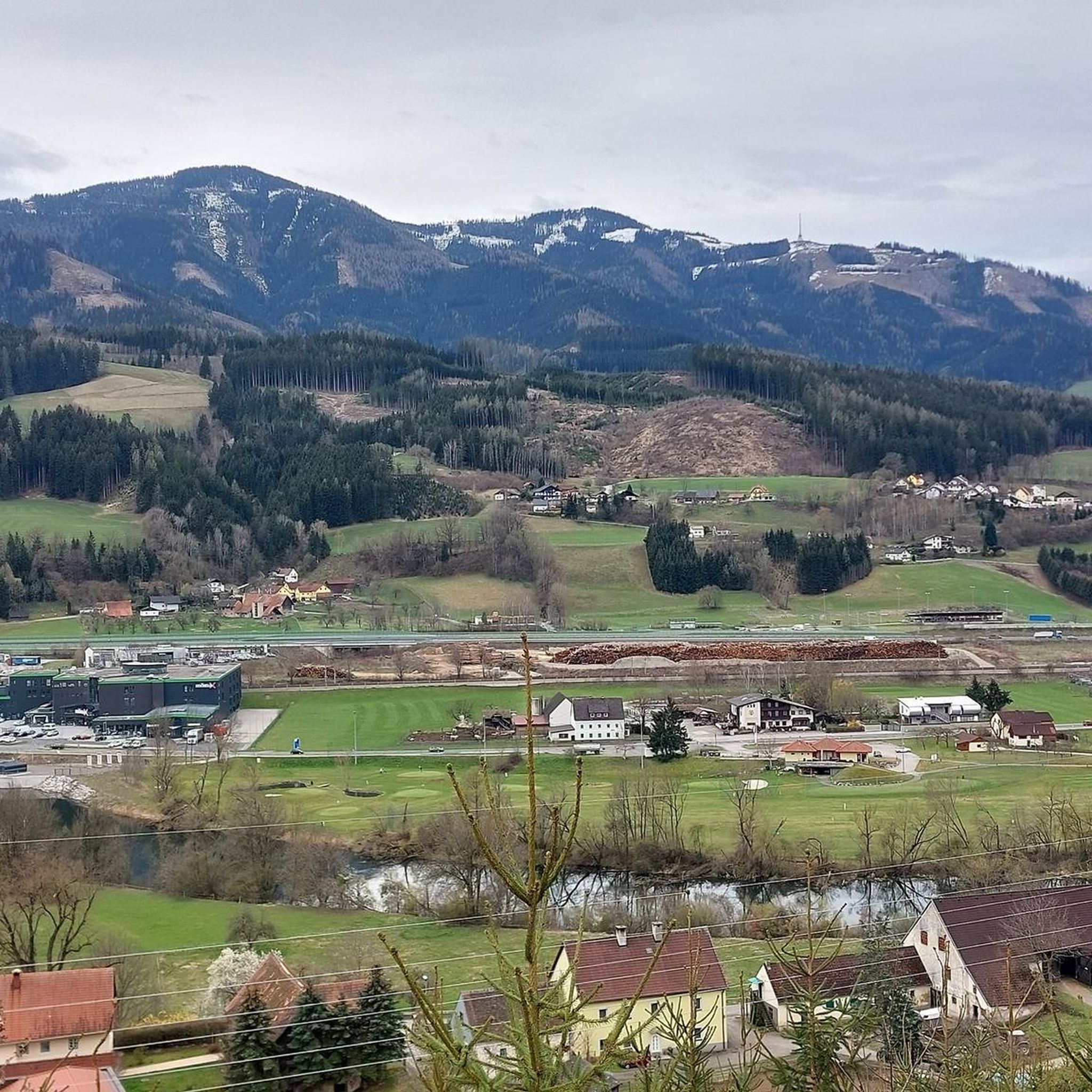
Running Trails around Bruck an der Mur
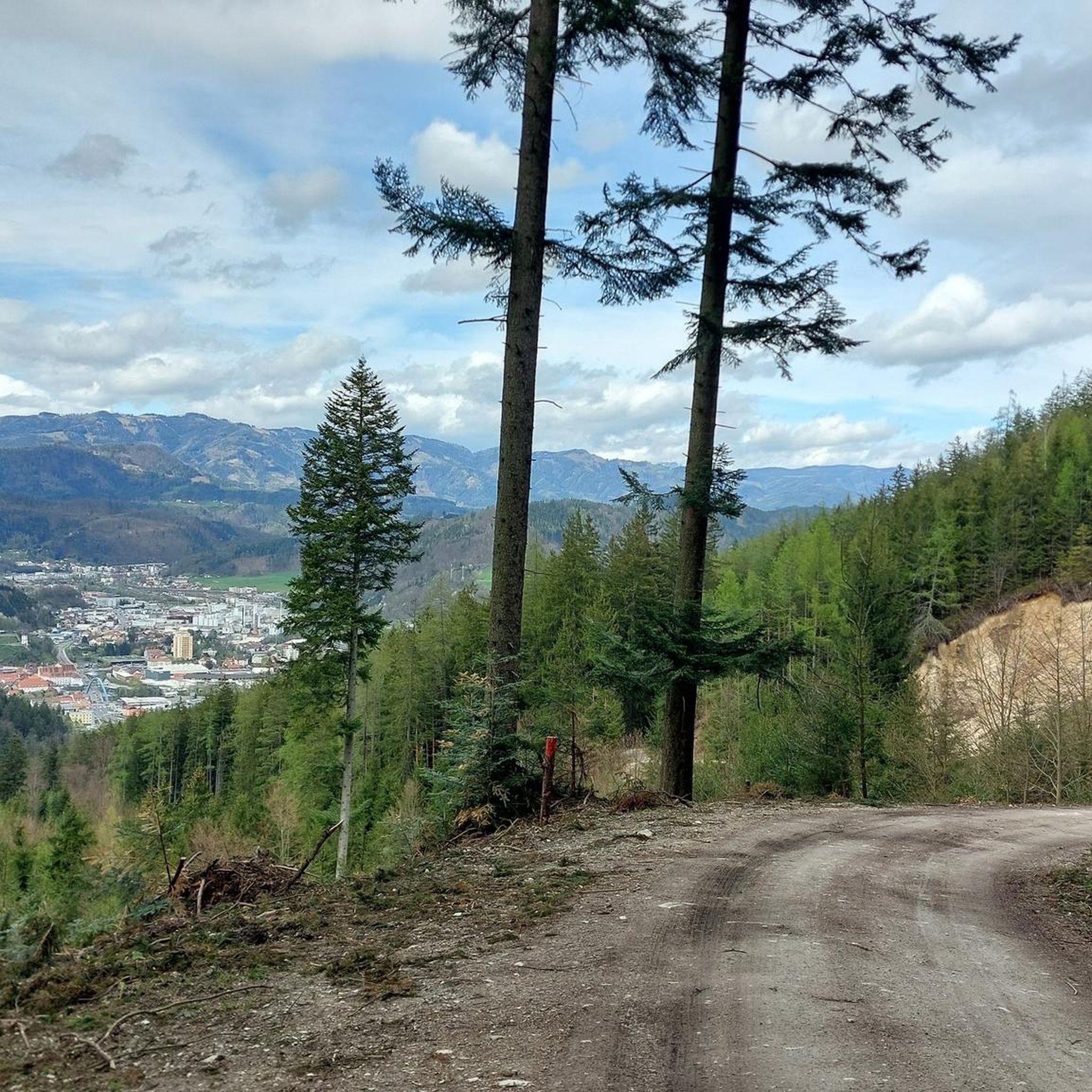
Road Cycling Routes around Bruck an der Mur

Gravel biking around Bruck an der Mur
Other adventures around Bruck an der Mur


Tips from the Community

Wonderful view from the clock tower
3
0
Super great view, a little in front of the possibility to stop at the nature friends
3
0
Entry to the trail, friendly staff, good food
3
0
A beautiful cross, definitely worth a visit, dedicated to the victims of both world wars
3
0

There are a variety of options for reaching the refuge. Routes vary from 2 to 5 hours.
0
0
It's a challenging bike ride to this hut, but you get what you pay for. Fantastic mountain views. A lovely place to rest for a while, and they have delicious dishes on the menu.
0
0
Very steep climb, but the view is worth it
3
0

On the trail section to the left of the hut, towards the transmitter, there is now a driving ban, but you don't really miss much...........
0
0
Frequently Asked Questions
How many mountaineering routes are available around Bruck an der Mur?
There are nearly 20 dedicated mountaineering routes around Bruck an der Mur. These routes offer a diverse range of experiences, from moderate ascents to more challenging summit tours, catering to various skill levels.
What kind of terrain and landscapes can I expect on mountaineering routes in this region?
Mountaineering around Bruck an der Mur features dramatic alpine scenery, extensive forests, and river valleys. You'll encounter varied paths with significant elevation changes, leading through areas like the Hochschwab range, the Rax-Schneeberg Group, and local peaks such as Hochanger and Mugel. The region is characterized by its impressive mountain ranges and picturesque natural features.
What are the typical difficulty levels for mountaineering routes here?
The routes around Bruck an der Mur are primarily categorized as moderate to difficult. You'll find 11 moderate routes, which are suitable for those with some experience, and 8 difficult routes, which require good fitness and sure-footedness for demanding summit tours.
What is the best time of year for mountaineering in Bruck an der Mur?
The best seasons for outdoor activities, including mountaineering, are spring and autumn. In spring, the local flora is in full bloom, offering beautiful scenery. Autumn provides vibrant deciduous forests and generally stable weather conditions, making it ideal for exploring the mountain trails.
Are there any circular mountaineering routes available?
Yes, there are several circular routes. For example, the Ottokar-Kernstock-Haus loop from Frauenberg is a moderate 5.1-mile (8.2 km) circular trail offering views over the Mur valley. Another option is the Mugel Mountain Hut – Mugel Summit loop from Winterparkplatz, a moderate 7.0-mile (11.2 km) path ascending to the Mugel Summit with expansive alpine views.
What interesting natural landmarks or viewpoints can I discover along the routes?
Many routes offer stunning natural landmarks and viewpoints. You can reach the Mugel Summit for expansive views of the surrounding alpine landscape. The Hochanger Summit Cross also provides excellent vistas. For broader views, the Hochlantsch Summit, the highest mountain in the Grazer Bergland, offers panoramic sights from the Dachstein to Hungary.
What do other mountaineers say about the routes in Bruck an der Mur?
The routes in Bruck an der Mur are highly rated by the komoot community, with an average score of 4.2 stars from 9 reviews. Over 300 mountaineers have used komoot to explore the varied terrain, often praising the diverse landscapes and well-maintained paths.
Are there any family-friendly mountaineering options or easier pleasure hikes?
While many routes are moderate to difficult, some areas offer more accessible options. The Hochschwab range, for instance, has well-marked trails suitable for families. The Hochanger is known for its popular pleasure hikes with beautiful paths and natural trails, making it a good choice for those seeking a less strenuous experience.
Can I reach the trailheads using public transport?
Bruck an der Mur is well-connected, and some trailheads are accessible via public transport. For specific routes, it's advisable to check local bus schedules or regional train connections to determine the best way to reach your starting point. The city's location at the confluence of the Mur and Mürz rivers makes it a central hub for the surrounding mountain areas.
Are there any specific local mountains that are popular for mountaineering?
Absolutely. The Hochanger (1308m) is considered a classic local mountain, offering popular pleasure hikes and an almost alpine experience via the Rabenwandsteig. The Mugel and Rennfeld are also prominent local mountains with routes suitable for moderate to hard mountaineering, providing scenic views. The highest mountain in the Grazer Bergland, Hochlantsch (1,720m), is another popular destination.
Where can I find information about other outdoor activities in Bruck an der Mur?
Beyond mountaineering, Bruck an der Mur offers a wide range of outdoor activities. You can find extensive hiking networks, cycling paths along the Mur and Mürz rivers, and even winter sports like snowshoeing. For more general tourist information about the region, you can visit visitacity.com or tourismus-bruckmur.at.
Is there a route that offers a good challenge for experienced mountaineers?
For experienced mountaineers seeking a challenge, the Hochanger Shelter – Hochanger Summit Cross loop from Bruck an der Mur is a difficult 11.2-mile (17.9 km) route. This demanding trail involves significant elevation gain and offers a rewarding experience to the Hochanger Summit Cross.
Most popular routes around Bruck an der Mur
Most popular attractions around Bruck an der Mur

Get inspired with the komoot mobile app


Explore more
Browse the best Mountain Hikes & Routes in other regions.
