The best running trails around Woodland
4.3
(74)
8,122
runners
466
runs
Jogging around Woodland, California, offers access to a landscape characterized by expansive woodlands, mature oak trees, and riparian forests. The region features numerous green belts and dedicated paths, providing varied terrain for running. Proximity to the Sacramento River influences the local environment, contributing to a natural setting for outdoor activities. These features combine to create a network of accessible routes for runners.
Best jogging routes around Woodland
- The most popular jogging route is Fishscale House – The Card House loop…
Last updated: July 13, 2026
15
runners
3.71km
00:23
40m
40m
Easy run. Great for any fitness level. Mostly paved surfaces. Suitable for all skill levels.
16
runners
5.85km
00:38
70m
70m
Moderate run. Good fitness required. Mostly paved surfaces. Suitable for all skill levels.

Sign up for free
8
runners
14.1km
01:30
180m
180m
Moderate run. Good fitness required. Mostly paved surfaces. Suitable for all skill levels.
5
runners
6.81km
00:44
120m
110m
Moderate run. Good fitness required. Mostly paved surfaces. Suitable for all skill levels.
5.0
(1)
4
runners
6.44km
00:42
140m
140m
Moderate run. Good fitness required. Mostly paved surfaces. Suitable for all skill levels.
Get access to more routes and recommendations from other explorers.
Sign up for free
Already have an account?
Our route recommendations are based on thousands of hikes, rides, and runs completed by other people on komoot.
Start today with a free account
Your next adventure awaits.
Login or Signup
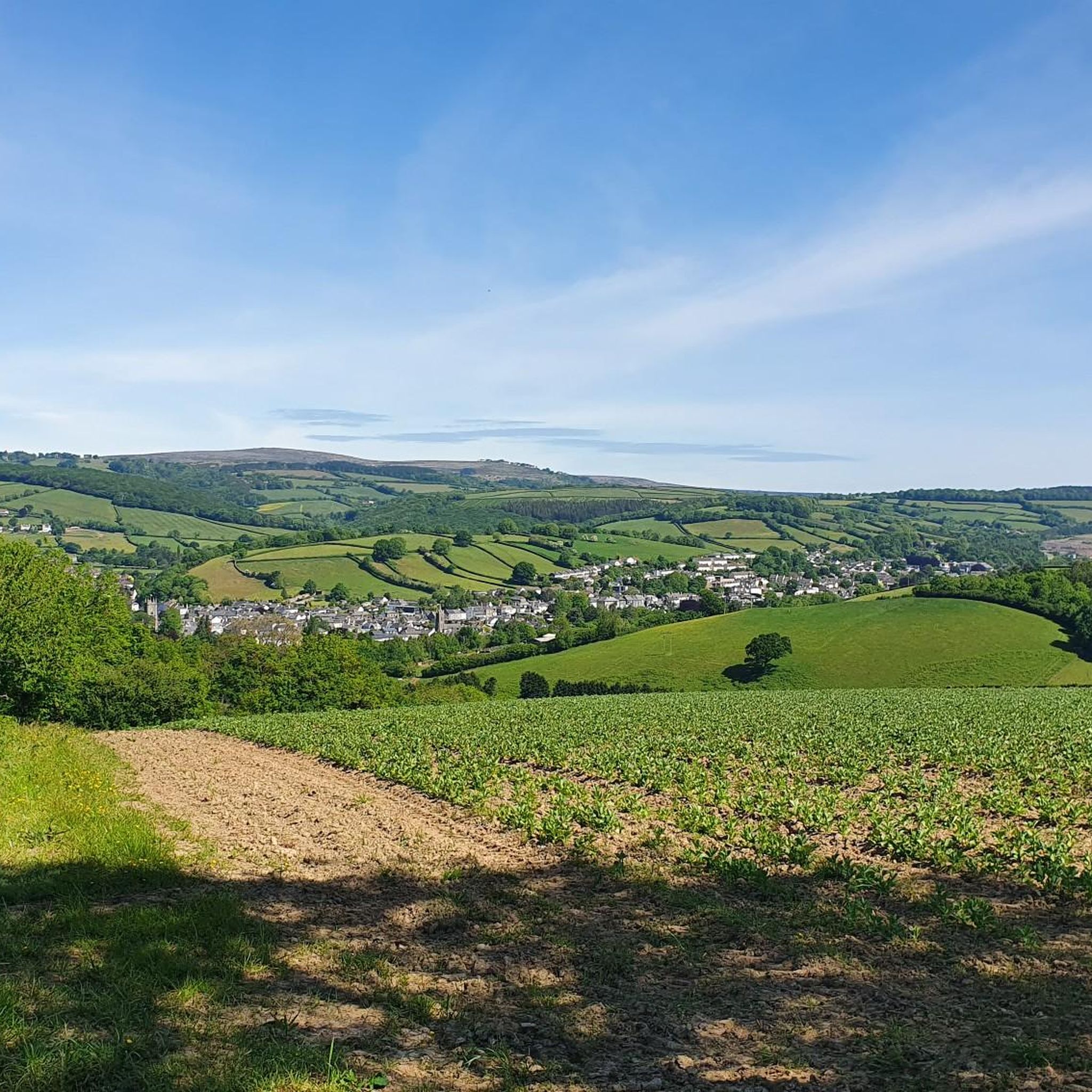
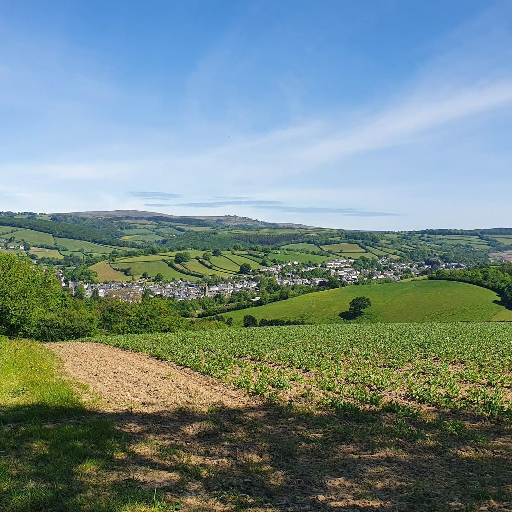
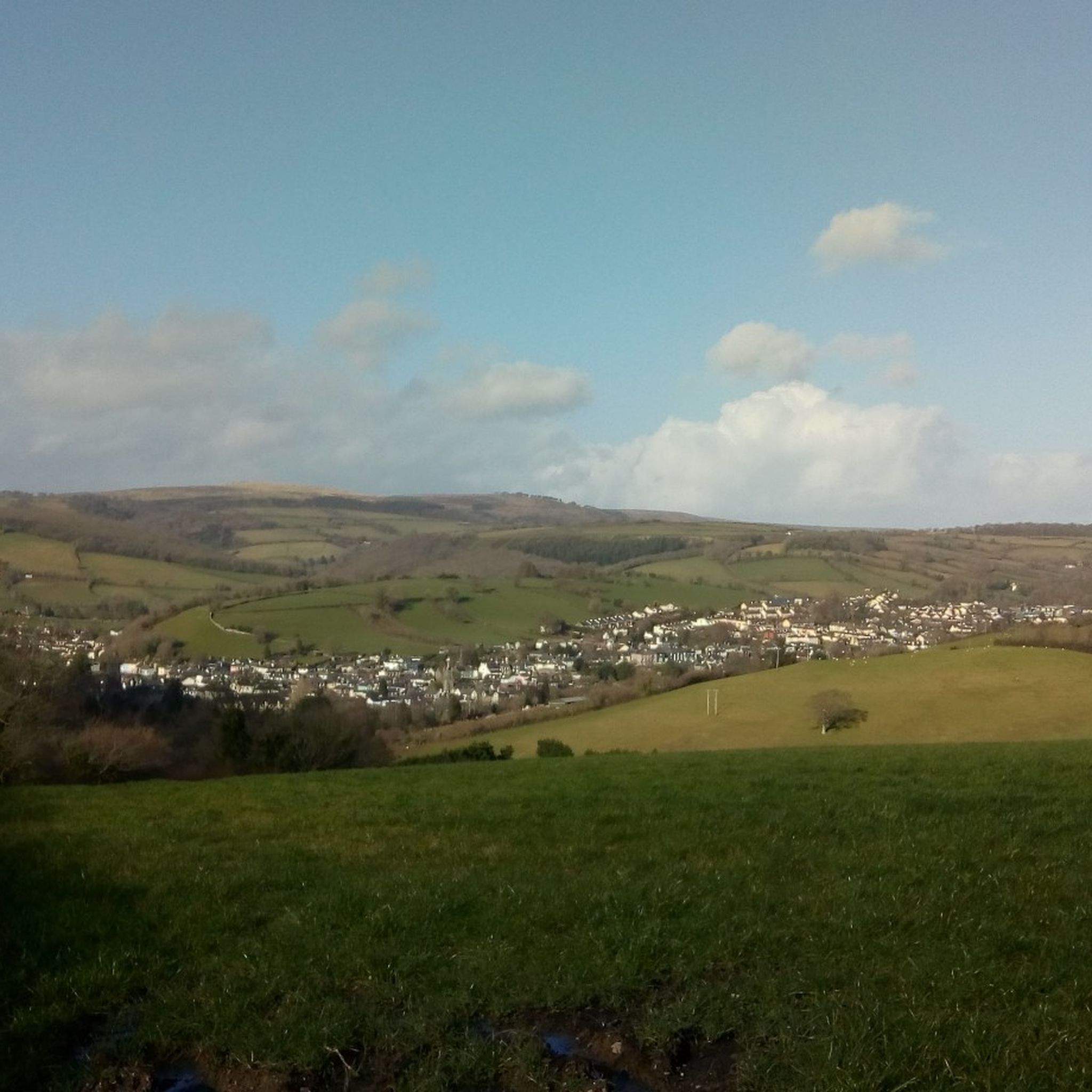
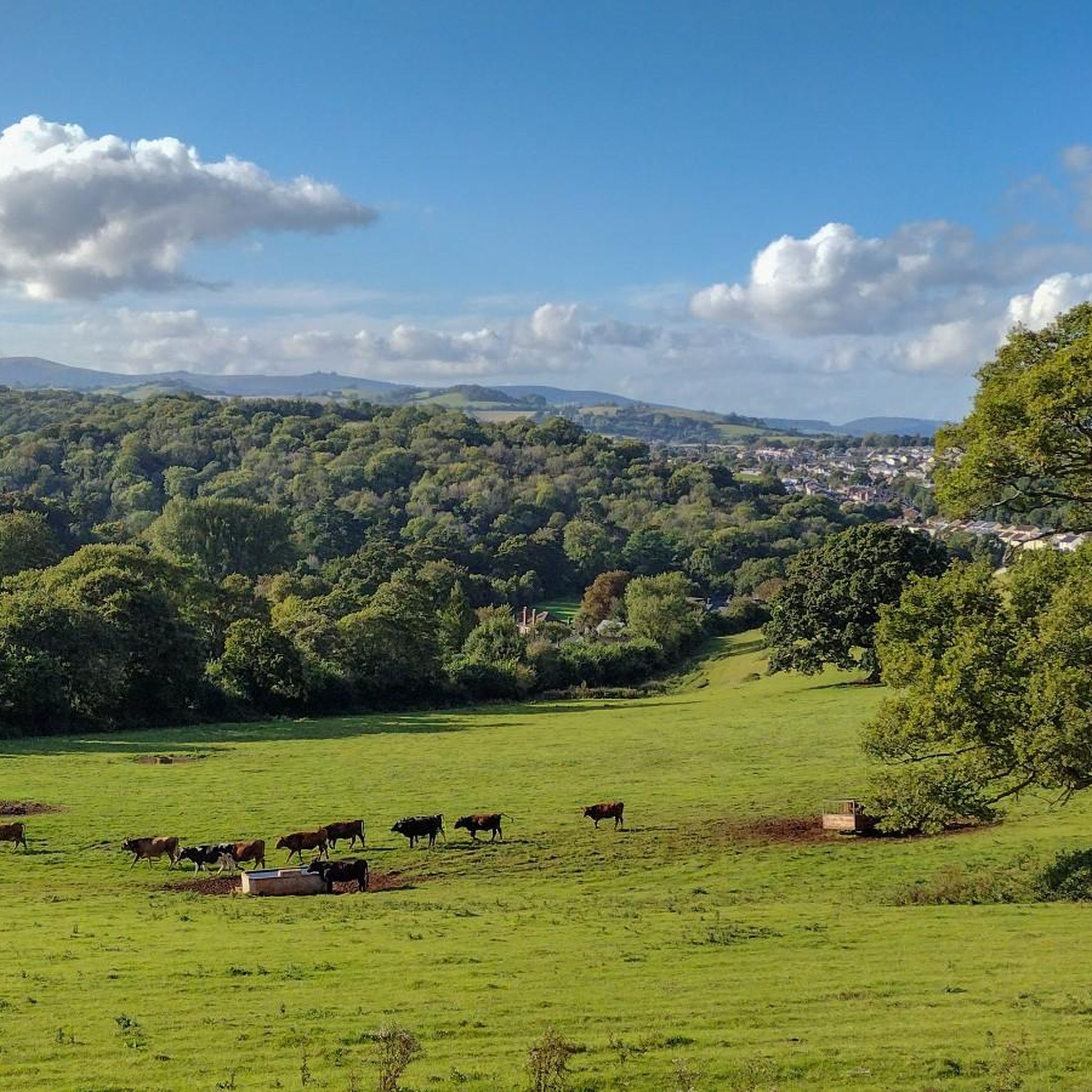
Tips from the Community

The Exeter Inn is the oldest pub in Ashburton, built in 1130 to house the workers of St Andrew's Church and has remained an inn ever since.
7
0
Number 9 East St (now a greengrocer) has a fire insurance mark on the front of the building. These were placed at a height that was easy to see, but out of the reach of thieves. This was issued by the Royal Insurance Company which was founded in 1845. Early insurance companies also had fire departments that would put out fires in buildings insured with that company.
7
0
As you cycle down East Street, you'll notice the aptly named fish scale house with its slates on the facade of the house to your right.
7
0
As you cycle down East Street you will pass the Real Old Library on the left. 49 East Street was a private lending library in Victorian times.
8
0
This building is known as the headquarters of the Monster Raving Loony Party - Alan Hope ("Howling Lord Hope") the leader of the official Monster Raving Loony Party is the longest serving political leader in the UK and lived here until 1999.
7
0

We are a single point of contact for information about Ashburton and the surrounding area serving visitors, local residents and businesses. If you need to know about local shops and services, where to stay, buses, trains or taxis then drop in and see us - we're here for everyone!
1
0
Look at the slates hanging above the Ashburton Co-op store and you should be able to pick out the suits of a pack of cards. The building was originally an old gambling den and later became the ‘Card House Cafe.
0
0
Look out for the plaque at Church’s hardware shop in North Street. Whilst pursuing royalist troops following their defeat at Bovey Tracey, General Fairfax stayed the night at the Mermaid Inn which is now Church’s.
0
0
Frequently Asked Questions
How many running routes are available in Woodland, California?
Woodland offers a wide variety of running experiences, with over 485 routes documented on komoot. These range from easy strolls to more challenging runs, catering to all fitness levels.
Are there family-friendly jogging paths in Woodland?
Yes, Woodland is home to numerous parks with walking paths suitable for families. Many city parks, such as Campbell Park, Dave Douglass Park, and Woodside Park, offer designated paths. The Woodland Regional Park Preserve also features a half-mile ADA accessible nature trail, perfect for a gentle family outing.
Can I bring my dog on the running trails in Woodland?
Many parks and trails in Woodland are dog-friendly, but leash laws typically apply. It's always best to check local regulations for specific parks. Green belts and paths like the Farmers Central Ditch Path are generally good options for running with your canine companion.
What kind of scenery can I expect on Woodland's running routes?
Woodland lives up to its name with expansive woodlands, mature oak trees, and riparian forests. You'll find routes winding through green belts, alongside seasonal wetlands, and through developed parklands. In spring, seasonal wildflower blooms add a vibrant touch to the landscape.
Are there any circular running routes in the Woodland area?
Yes, many routes in Woodland are designed as loops, offering varied scenery without retracing your steps. For example, the The Card House – Ashburton Information Centre loop from Ashburton is a moderate 4.2-mile circular route. You can also find interconnected park systems, like those linking Dave Douglass Park and Woodside Park, that allow for longer, custom loops.
What are some good options for easy or beginner jogging routes?
For an easier run, consider the paths within Woodland's numerous city parks, such as City Park or Ralph Harris Park. The Woodland Regional Park Preserve also offers a gentle, ADA accessible nature trail. There are 49 easy routes available on komoot in the Woodland area.
Where can I find longer running routes for endurance training?
For longer distances, the Peartree Nature Area – Bakers Pit loop from Ashburton offers a moderate 9.1-mile path through open areas and natural surroundings. Additionally, the Alamo Creek Bikeway provides a shaded 4.4-mile path, and the extensive American River Parkway (Jedediah Smith Memorial Trail) is a short drive away for even longer runs.
Are there any running trails with interesting landmarks or viewpoints?
While specific viewpoints are not highlighted on every trail, Woodland's parks offer unique features. City Park, for instance, preserves original native oak trees, including the historic 'Shakespeare Tree'. The Woodland Regional Park Preserve provides opportunities for birdwatching amidst permanent and seasonal wetlands.
What do other runners say about jogging in Woodland?
The running routes in Woodland are highly regarded by the komoot community, boasting an average rating of 4.4 stars from over 50 reviews. Runners often praise the varied terrain, the abundance of green spaces, and the accessibility of the trails within the city's expansive woodlands and parks.
When is the best time of year to go running in Woodland, California?
Spring is particularly beautiful for running in Woodland, as seasonal wildflower blooms transform the landscape. Fall also offers pleasant temperatures and colorful foliage. While summer can be warm, many routes through woodlands and green belts provide welcome shade. Winter runs are generally mild, though conditions can vary.
Are there any accessible jogging paths in Woodland?
Yes, the Woodland Regional Park Preserve features a half-mile ADA accessible nature trail, providing a smooth and easy surface for all users. Many city parks also have paved or well-maintained paths suitable for various accessibility needs.
Where can I find parking for running trails in Woodland?
Most city parks in Woodland, such as Dave Douglass Park, Woodside Park, and Jack Slaven Park, offer dedicated parking facilities. For trails like the Farmers Central Ditch Path, access points often have nearby street parking. For specific routes, checking the komoot tour details will provide information on starting points and potential parking.
Most popular attractions around Woodland

Get inspired with the komoot mobile app


Explore more
Browse the best Running Trails & Routes in other regions.
