The best mountain hikes around Aigen im Ennstal
4.8
(27)
543
hikers
22
hikes
Mountaineering routes around Aigen im Ennstal navigate the diverse landscapes of the Ennstal Alps, characterized by prominent peaks, high-alpine pastures, and deep valleys. The region features a mix of challenging ascents to summits and more moderate trails through forested slopes. This area provides access to a network of trails that showcase the natural beauty of Styria's mountain environment.
Best mountaineering routes around Aigen im Ennstal
- The most popular mountaineering route is Grimming Hut – Tressenstein Summit (1,196 m) loop from…
Last updated: October 5, 2026
5.0
(5)
32
hikers
Moderate mountaineering route. Good fitness required. Mostly accessible paths. Sure-footedness required.
4.5
(2)
31
hikers
16.4km
06:10
900m
900m
Hard mountaineering route. Very good fitness required. Mostly accessible paths. Sure-footedness required.

21
hikers
12.4km
05:22
1,080m
1,080m
Hard mountaineering route. Very good fitness required. Mostly accessible paths. Sure-footedness required.
26
hikers
6.77km
02:43
460m
460m
Moderate mountaineering route. Good fitness required. Mostly accessible paths. Sure-footedness required.
9
hikers
6.67km
04:32
780m
780m
Hard mountaineering route. Good fitness required. Sure-footedness, sturdy shoes and alpine experience required.
Get access to more routes and recommendations from other explorers.
Already have an account?
Our route recommendations are based on thousands of hikes, rides, and runs completed by other people on komoot.
Start today with a free account
Your next adventure awaits.
Popular around Aigen im Ennstal
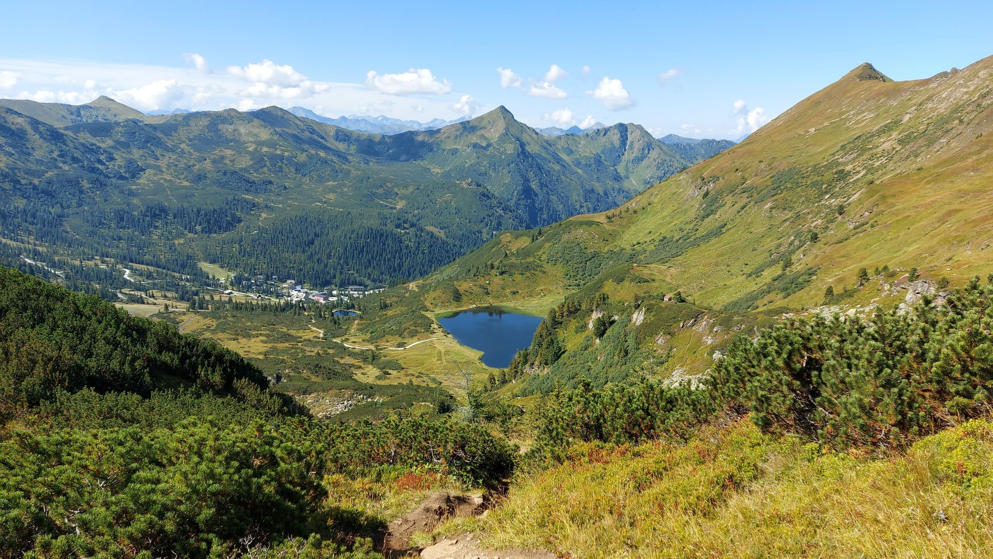
Austria's Salt Trail – On old paths through Styria
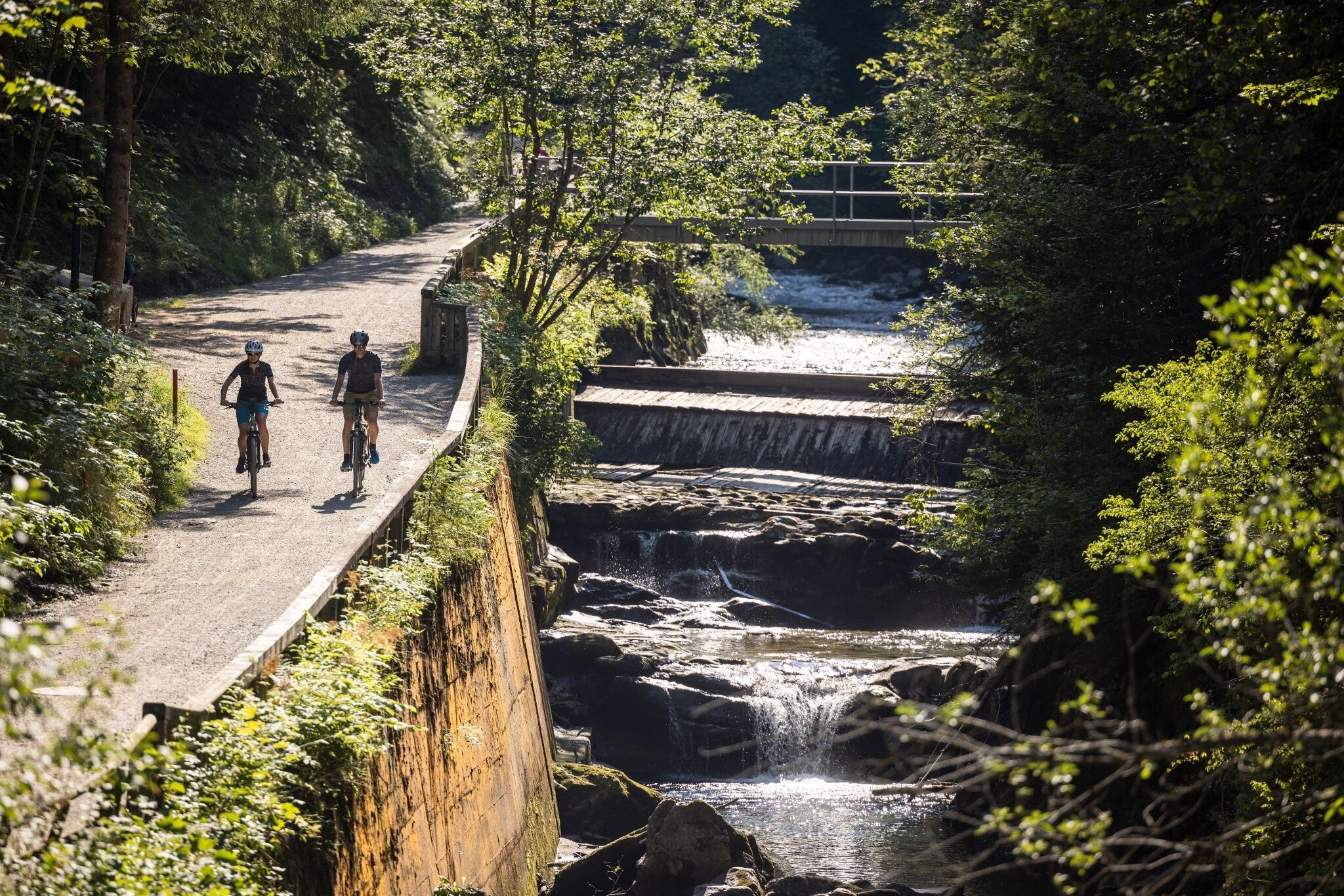
Experience mountain biking in Schladming-Dachstein — top routes from our bike hotels
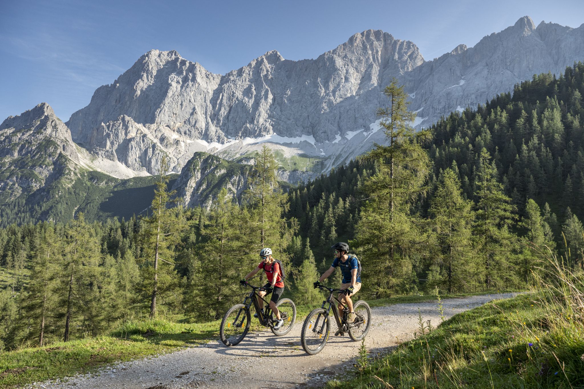
Biking with Dachstein views — top routes from our bike hotels
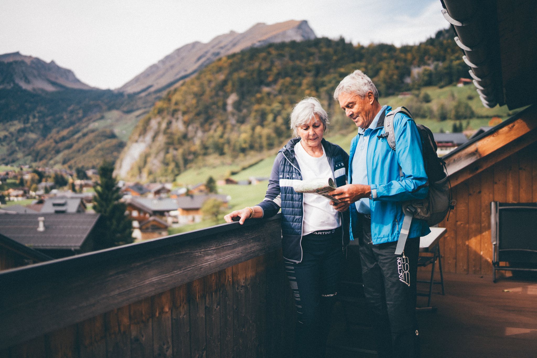
Natur erleben: Dein Wanderurlaub am Bauernhof
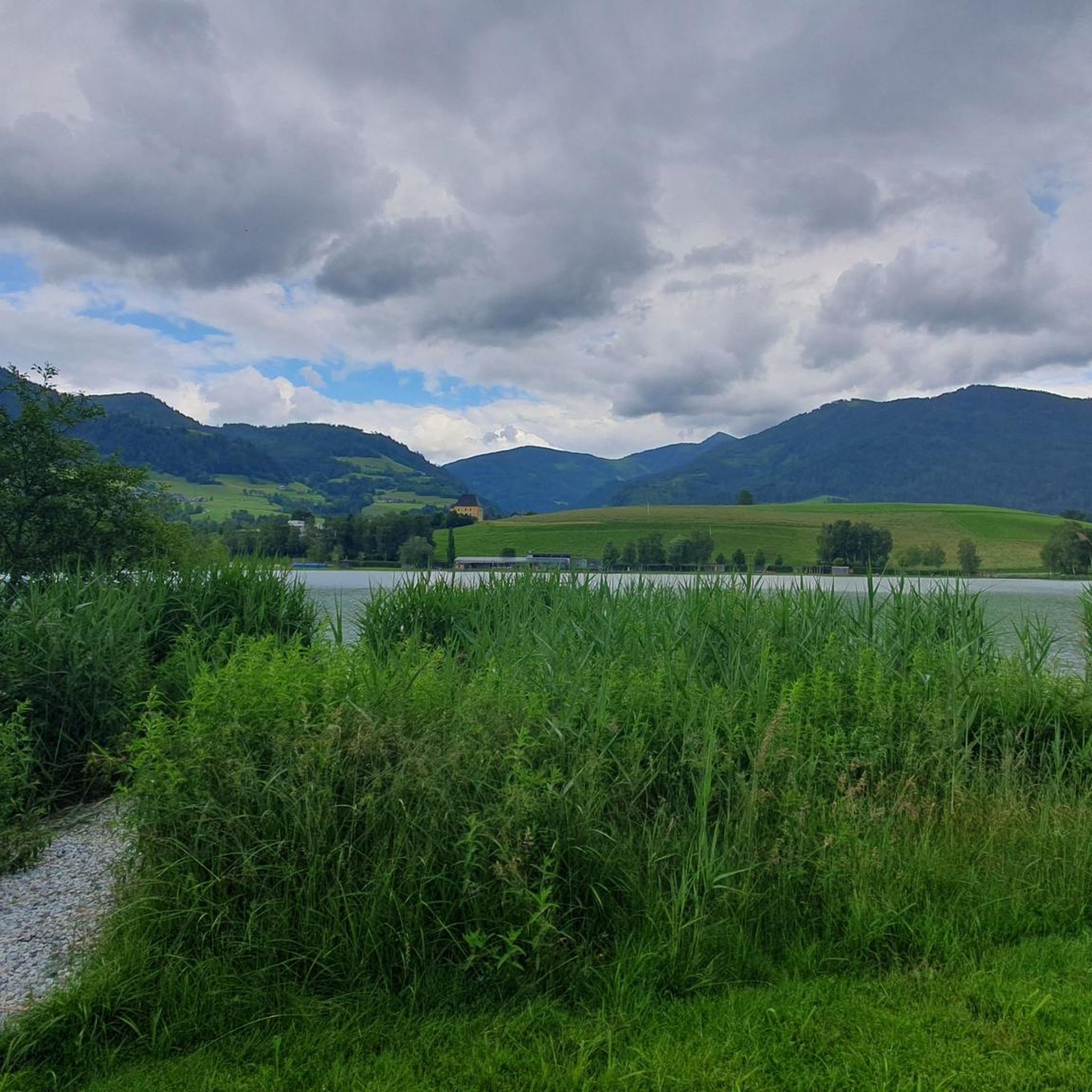
Cycling around Aigen im Ennstal
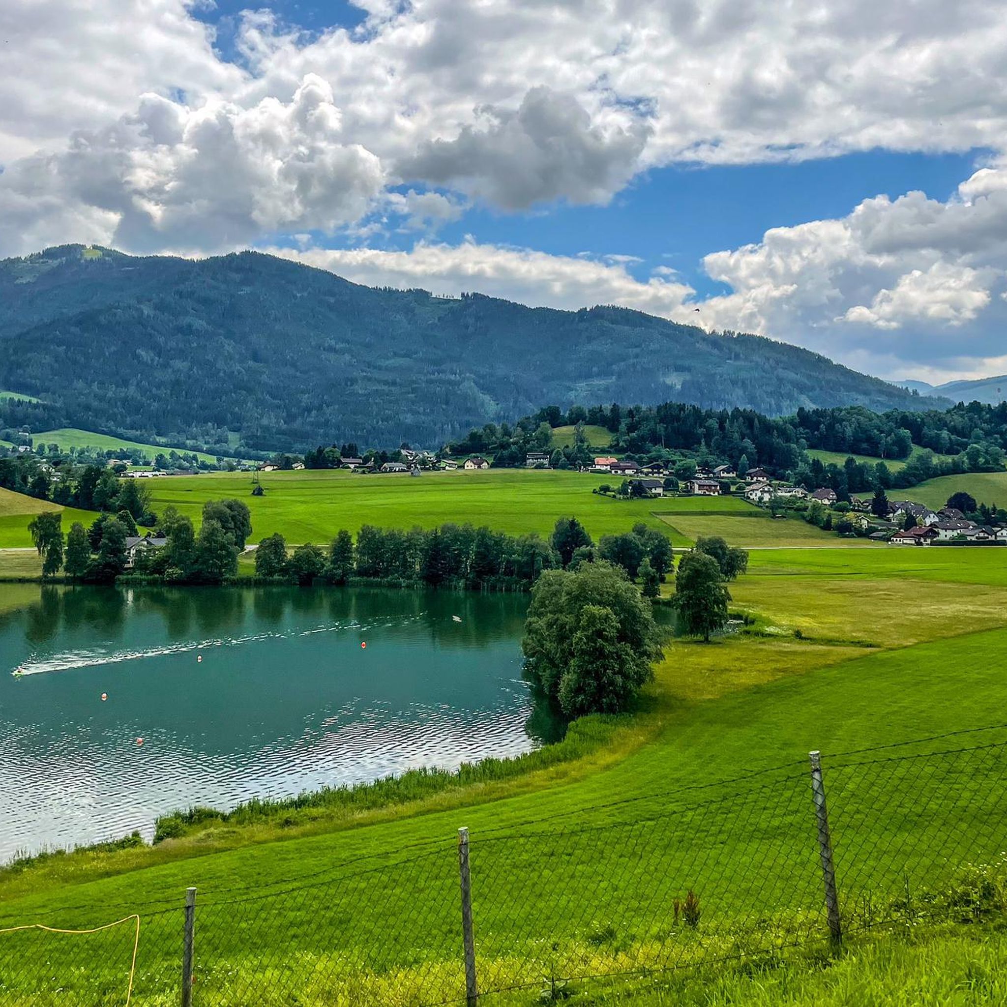
Road Cycling Routes around Aigen im Ennstal
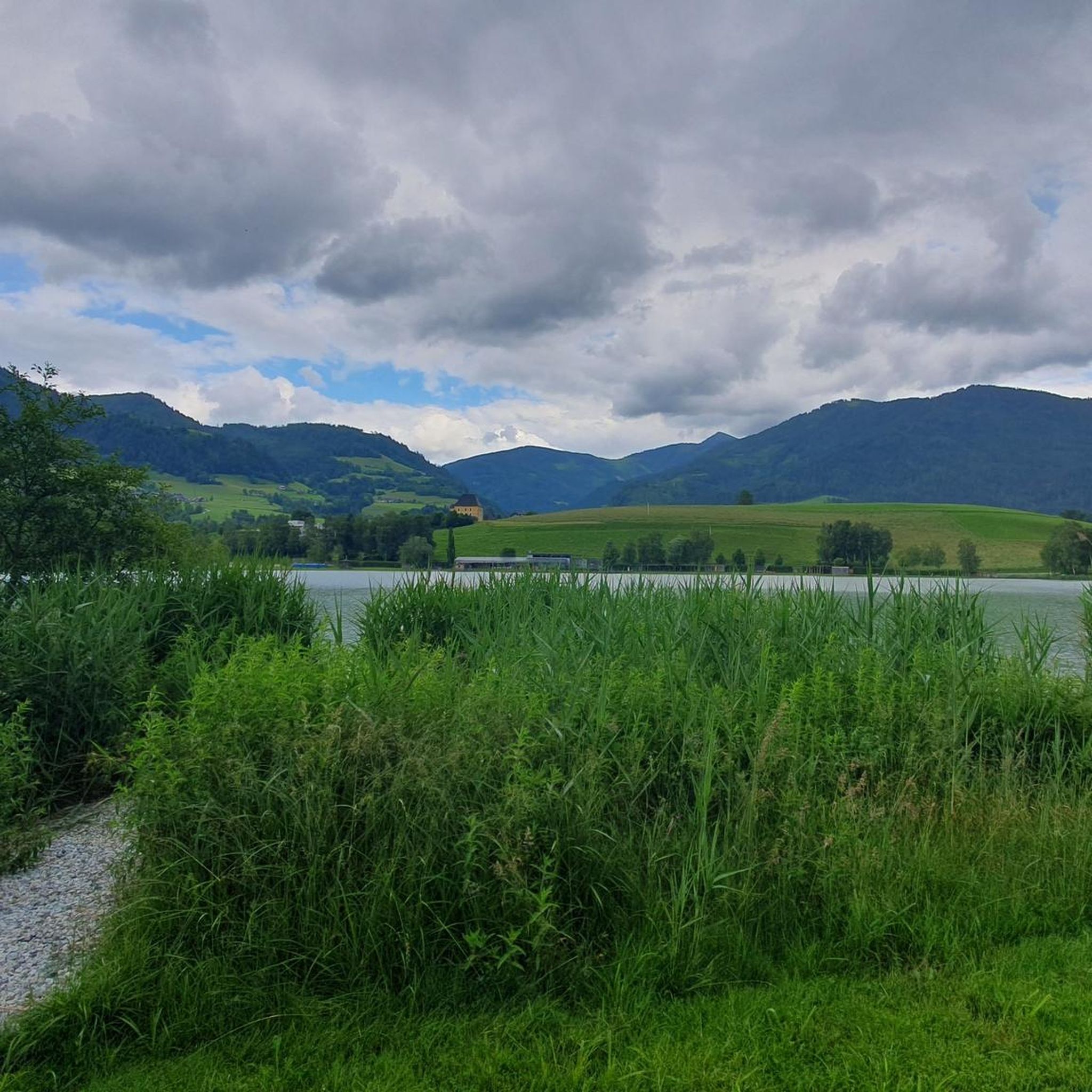
Hiking around Aigen im Ennstal
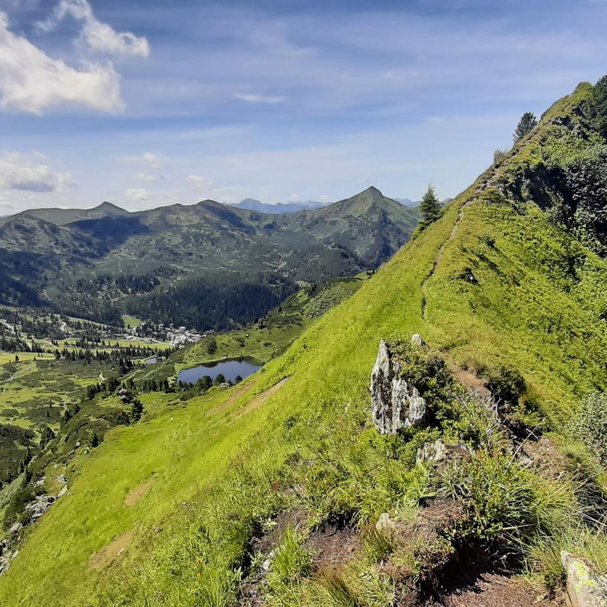
Running Trails around Aigen im Ennstal
MTB Trails around Aigen im Ennstal

Gravel biking around Aigen im Ennstal
Other adventures around Aigen im Ennstal


Tips from the Community

However, the lake is located in a high moor and the access is accordingly. I would recommend rubber boots at this time of year when leaving the paved paths.
0
0

Good starting point, parking lot, from here it's practically only uphill
0
0
In summer weather, you can't take enough to drink. The Grimminghaus is a lifesaver, but unfortunately almost at the foot of the mountain.
0
0

Trautenfels Castle is a castle in the municipality of Stainach-Pürgg in the Liezen district of Styria. It is situated on a rocky promontory at the foot of the Grimming mountain, at an elevation of 673 meters above sea level, overlooking the Enns River. The castle was first documented in 1260/62 as belonging to the Archbishopric of Salzburg. It was located at the intersection of the salt road and the route through the Enns Valley and served as a dam. (Wikipedia)
0
0

A rustic hut near Hochmölbling. Excellent roast pork and apple strudel. A highly recommended overnight stay.
5
0

Fantastic views of the mountains from the Sölktal, Hochrettelstein, Grimming, Totes Gebirge, Bosruck, Haller Mauern, Hochgrossen, Hochtorgrupoe, Admonter Kaibling, Admonter Reichenstein, Bösenstein, Rottenmanner Tauern.
1
0

Be sure to fill up all your water bottles here! The path up to the Grimming is in the sun and there is no water above. (With luck, there will be a few drops at the Grimmingbrünndl.)
1
0

Very tasty homemade cheese dumpling soup and apple strudel! The portions are very large 🤗
1
0
Frequently Asked Questions
How many mountaineering routes are available around Aigen im Ennstal?
There are over 20 mountaineering routes in the Aigen im Ennstal region, offering a wide range of options for different skill levels. The majority of these, about 19, are classified as difficult, with 6 moderate routes also available.
Are there any easy or beginner-friendly mountaineering routes in Aigen im Ennstal?
While the region is known for its more challenging alpine terrain, there are some moderate routes that can be suitable for beginners with good fitness. For example, the View of Karlspitze loop from Planneralm Rotbühellift is a moderate 6.6 km route that offers stunning views without extreme difficulty.
What is the best time of year for mountaineering in Aigen im Ennstal?
The prime season for mountaineering in Aigen im Ennstal is typically from late spring to early autumn (June to September) when trails are clear of snow and weather conditions are most stable. However, some lower-altitude routes might be accessible earlier or later in the season. Always check local weather and trail conditions before heading out.
Are there any circular mountaineering routes in the area?
Yes, many of the mountaineering routes around Aigen im Ennstal are designed as circular tours, allowing you to start and end at the same point. A great example is the challenging Mölbegg Summit Cross loop from Donnersbacher Klamm, which covers 6.7 km.
What kind of natural attractions or landmarks can I expect to see along the routes?
The routes often lead past beautiful natural landmarks. You might encounter serene alpine lakes like Spechtensee or enjoy panoramic views from various summits. Many trails also pass by traditional mountain huts, such as the Spechtensee Hut or Rottenmanner Hut, which offer refreshments and shelter.
Are there opportunities for winter mountaineering in Aigen im Ennstal?
While the region is primarily known for summer mountaineering, some areas may offer opportunities for winter activities like snowshoeing or ski touring, particularly in the higher alpine regions. However, these require specialized equipment, experience, and careful attention to avalanche warnings and weather conditions. It's advisable to consult local guides or alpine clubs for specific winter route recommendations.
What do other mountaineers say about the routes in Aigen im Ennstal?
The mountaineering routes in Aigen im Ennstal are highly regarded by the komoot community, boasting an average rating of 4.8 stars from over 20 reviews. Users frequently praise the stunning alpine scenery, the well-maintained trails, and the challenging yet rewarding ascents.
Are there any mountain huts or places to stop for refreshments along the trails?
Yes, several routes pass by or lead to mountain huts where you can rest and enjoy refreshments. Notable huts in the area include the Grimming Hut and the Hochmölbing Hut, which are often integrated into longer tours and provide a welcome break.
What are the typical distances and durations for mountaineering routes here?
The routes vary significantly in length and duration. Moderate routes, like the View of Karlspitze loop, can be around 6-7 km and take about 2.5-3 hours. More difficult routes, such as the Mölbegg Summit Cross loop, can also be around 6-7 km but take 4.5 hours or more due to significant elevation gain and technical terrain.
Is public transport available to reach the starting points of mountaineering routes?
Public transport options to trailheads around Aigen im Ennstal can be limited, especially for routes in more remote alpine areas. It is generally recommended to check local bus schedules or consider carpooling for access to specific starting points. Some routes might be accessible from larger towns in the Ennstal valley with better public transport connections.
Are there specific parking facilities for mountaineers?
Many popular trailheads, especially for longer or more challenging routes, often have designated parking areas. For example, routes leading to high alpine lakes or summits typically have parking available at the base. It's always advisable to check the specific route details on komoot for information on parking at the starting point.
Most popular routes around Aigen im Ennstal
Most popular attractions around Aigen im Ennstal

Get inspired with the komoot mobile app


Explore more
Browse the best Mountain Hikes & Routes in other regions.
