The best road cycling routes around Cawston
4.4
(67)
2,043
riders
14
rides
Road cycling routes around Cawston are set within the Similkameen Valley, characterized by quiet rural roads and diverse terrain. The region offers varied cycling experiences, from tranquil routes through vineyards to paths alongside natural wildlife areas. The landscape includes a mix of paved sections and cycleways, providing options for different preferences.
Best road cycling routes around Cawston
- The most popular road cycling route is Draycote Water – Draycote Water loop from Cawston, a 11.6 miles (18.6 km) trail that…
Last updated: July 7, 2026
5.0
(1)
21
riders
39.5km
01:43
210m
210m
Moderate road ride. Great for any fitness level. Some segments of this route may be unpaved and difficult to ride.
19
riders
27.0km
01:15
160m
160m
Easy road ride. Great for any fitness level. Mostly well-paved surfaces and easy to ride.

Sign up for free
5.0
(4)
14
riders
30.4km
01:31
200m
200m
Easy road ride. Great for any fitness level. Mostly well-paved surfaces and easy to ride.
12
riders
23.0km
01:03
110m
110m
Easy road ride. Great for any fitness level. Mostly well-paved surfaces and easy to ride.
4.0
(1)
9
riders
35.1km
01:35
210m
210m
Moderate road ride. Great for any fitness level. Some segments of this route may be unpaved and difficult to ride.
Get access to more routes and recommendations from other explorers.
Sign up for free
Already have an account?
Our route recommendations are based on thousands of hikes, rides, and runs completed by other people on komoot.
Start today with a free account
Your next adventure awaits.
Login or Signup
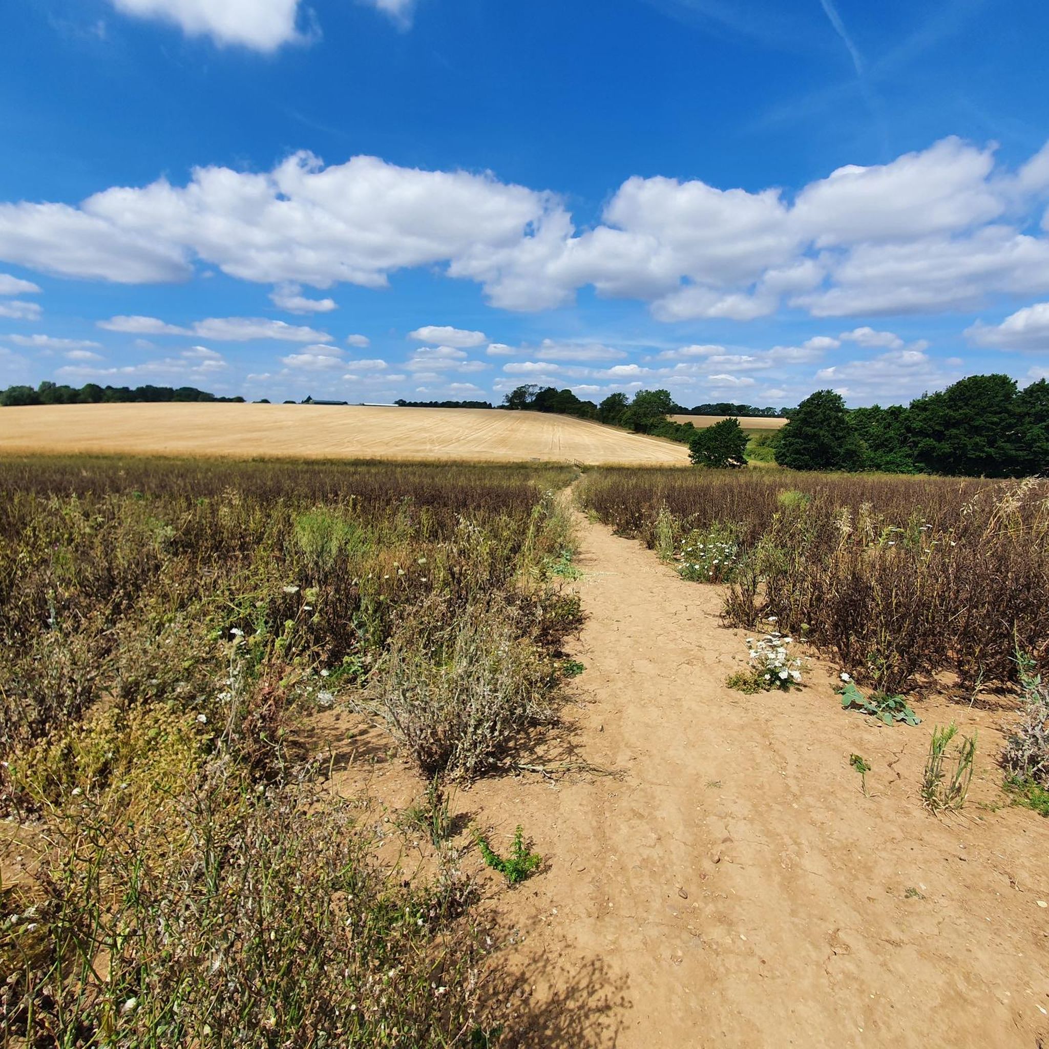
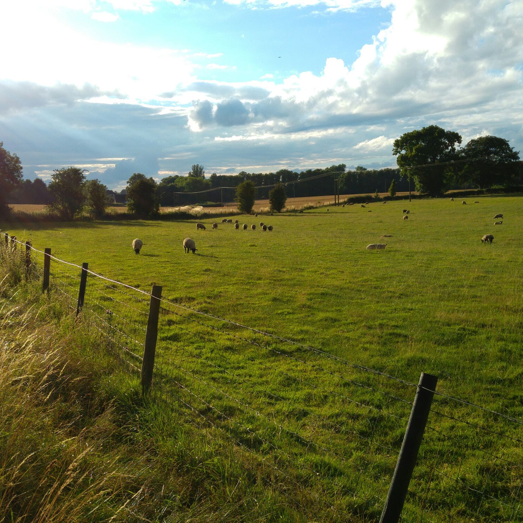

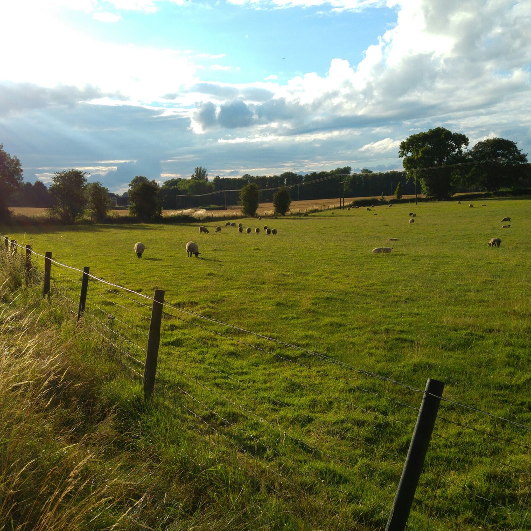
Tips from the Community


A quiet pitstop to refuel with snacks and recharge before the next stretch; Co-op nearby...
0
0

Once the bustling post office of the village of Wolston, this building has now been converted into a beautiful cottage.
1
0

60 satellite dishes look between 65 degE and 65 degW orbital positions with uninterrupted line of sight to over 100 different communication satellites. Such a small area in the country with little light pollution.
0
0

CommemorationFirst World War (1914-1918), Second World War (1939-1945). Two shallow steps plus one taller step form the granite base surmounted by a rectangular tapering flat granite pillar, all set within a paved and low brick-walled area. A sword in relief is on front face of pillar with inscriptions to either side. Inscription: PEACE AND RECONCILIATION / (Central Sword) / (Left Column) 1914 -1918 (20 names) / (Right Column) 1939 - 1945 (4 names) / OTHER CONFLICTS / 2008 (one name).
0
0
The Lunt Roman Fort is the archaeological site of a Roman fort, of unknown name, in the Roman province of Britannia. It is open to the public and located in the village of Baginton on the south eastern outskirts of Coventry. The fort has now been fully excavated and partially reconstructed; the wooden gateway rebuild was led by archaeologist Margaret Rylatt, using the same tools and techniques that the military engineers of the Roman Army would have used. In 2001, Anglo Saxon artefacts dating to Sub-Roman Britain were discovered on the site. Four periods of occupation of the fort during periods of unrest in Roman Britain have been identified by excavation. The fort was built around AD 60 to act as a supply depot and headquarters for an unknown legion during the final campaign against Boudica. From AD 64 it was used, in the second phase, by a cohort which reduced the size of the fort, but from which the principia, praetorium, two granaries and six barrack blocks have been excavated. A number of buildings were demolished to construct a gyrus.[citation needed] Many horse fittings, possible stabling, an extensive metalworking area, granary and storage space suggests a cavalry unit was present at this time. This second phase lasted until AD 77/8. The third period of AD 77/78-79 included construction of a double ditch system, a twin-portalled gateway on the south and occupation outside the defences until the fort was decommissioned. After AD 260, perhaps during the rebel Gallic Empire, it was recommissioned as a temporary fort with ditches on a similar alignment but slightly larger than that of Period 2. Gyrus The north, south and west sides followed the usual pattern for a Roman camp of straight ditches and ramparts. However, on the eastern side the defences bulge out around a circular structure with a diameter of 32 m (105 ft). The sand and gravel subsoil had been dug out to a depth of 600 to 900 mm (24 to 35 in) and the area surrounded with a timber stockade. This ring, the only known "gyrus" in the Roman Empire, may have been used for training horses. The gyrus was added to the fort during its second period of occupation and its construction caused significant disruption to the fort. Having the gyrus within the fort affects not just the wall which curves to accommodate the structure deviating from the Roman playing card shape pattern but also the layout of the fort which is significantly different from the standard layout. This makes the fort unique not just in Britain but also in the Roman Empire.
0
0
This is ridiculous the crash bar is so close its difficult to get the bike past
0
0
Frequently Asked Questions
How many road cycling routes are available around Cawston?
There are over 15 road cycling routes around Cawston, offering a variety of experiences for different skill levels. You'll find a mix of easy and moderate paths to explore the Similkameen Valley.
Are there easy road cycling routes suitable for beginners in Cawston?
Yes, Cawston offers several easy road cycling routes perfect for beginners. For instance, the Draycote Water – Draycote Water loop from Cawston is a relatively flat 11.6-mile (18.6 km) trail that provides scenic views and is a great starting point.
What kind of terrain can I expect on road cycling routes in Cawston?
Road cycling around Cawston features diverse terrain within the Similkameen Valley. You'll encounter quiet rural roads, cycleways, and a mix of paved sections. The landscape often includes vineyards, natural wildlife areas, and desert-like environments, providing a constantly changing backdrop.
Are there any challenging road cycling routes for experienced riders?
Yes, for more experienced riders, there are several moderate routes that offer longer distances and more elevation gain. The The Red Lion, Hunningham – Guy Fawkes House loop from Cawston, for example, is a 28.5-mile (45.9 km) route with over 1,000 feet of elevation, providing a good challenge.
What are some scenic highlights or landmarks I can see while road cycling in Cawston?
While cycling around Cawston, you can enjoy picturesque valley views and pass by interesting landmarks. The Midland Air Museum – Lunt Roman Fort loop from Cawston takes you past historical sites. You might also encounter natural features like Draycote Water or the Coombe Abbey, depending on your chosen route.
Are the road cycling routes in Cawston typically circular?
Many of the road cycling routes around Cawston are designed as loops, allowing you to start and finish at the same point. This includes popular options like the Birdingbury Lane Cut – Draycote Road loop from Cawston, which is a 16.9-mile (27.2 km) circular trail.
What is the best time of year for road cycling in Cawston?
The Similkameen Valley, where Cawston is located, offers enjoyable cycling experiences across multiple seasons. While specific recommendations depend on personal preference, the region's diverse landscapes are particularly beautiful in spring and fall. Always check local weather conditions before heading out.
Are there any road cycling routes that pass by places to stop for refreshments or cafes?
Given Cawston's location within the Similkameen Valley, many routes traverse 'around the village' areas and connect communities. This often means you'll find opportunities to stop for refreshments in local villages or towns along your ride, though specific cafe stops are not always explicitly marked on every route.
What do other road cyclists enjoy most about road cycling in Cawston?
The komoot community highly rates road cycling in Cawston, with an average score of 4.5 stars from over 220 reviews. Cyclists often praise the scenic rural roads, the diverse valley views, and the varied terrain that offers options for different ability levels. The tranquility of the routes away from heavy traffic is also a frequently mentioned highlight.
Are there any natural monuments or unique natural features to see along the routes?
Yes, the area around Cawston boasts several natural features. You might encounter highlights such as the Green-Winged Orchids at Draycote Meadows or the Hensborough Hill Trig Point, offering unique natural sights during your ride.
Can I find routes that are suitable for a longer day trip?
Absolutely. For a longer day trip, consider routes like the Willoughby Duck Pond – All Saints' Church, Braunston loop from Cawston. This moderate 33.2-mile (53.5 km) route provides an extended ride through varied landscapes, perfect for a full day of exploration.
Most popular routes around Cawston
Most popular attractions around Cawston

Get inspired with the komoot mobile app


Explore more
Browse the best Road cycling routes in other regions.
