The best mountain hikes around Sankt Andrä im Lungau
4.9
(43)
453
hikers
19
hikes
Mountaineering routes around Sankt Andrä im Lungau traverse a landscape characterized by alpine valleys, dense forests, and prominent mountain peaks. The region, part of the Austrian Alps, offers varied terrain suitable for ascents and high-altitude traverses. Elevations range significantly, providing opportunities for both challenging climbs and routes through high-alpine meadows. This area is defined by its natural mountain environment, with numerous trails leading to panoramic viewpoints.
Best mountaineering routes around Sankt Andrä im Lungau
- The most popular mountaineering route is…
Last updated: June 26, 2026
7
hikers
5.72km
02:22
400m
400m
Moderate mountaineering route. Good fitness required. Mostly accessible paths. Sure-footedness required.
78
hikers
11.0km
06:12
1,150m
1,150m
Hard mountaineering route. Very good fitness required. Sure-footedness, sturdy shoes and alpine experience required.

Sign up for free
4.5
(2)
14
hikers
7.23km
02:35
420m
420m
Moderate mountaineering route. Good fitness required. Mostly accessible paths. Sure-footedness required.
5.0
(3)
18
hikers
10.3km
03:45
480m
480m
Moderate mountaineering route. Good fitness required. Mostly accessible paths. Sure-footedness required.
5.0
(1)
16
hikers
12.3km
06:32
1,160m
1,160m
Hard mountaineering route. Very good fitness required. Sure-footedness, sturdy shoes and alpine experience required.
Get access to more routes and recommendations from other explorers.
Sign up for free
Already have an account?
Our route recommendations are based on thousands of hikes, rides, and runs completed by other people on komoot.
Start today with a free account
Your next adventure awaits.
Login or Signup
Popular around Sankt Andrä im Lungau
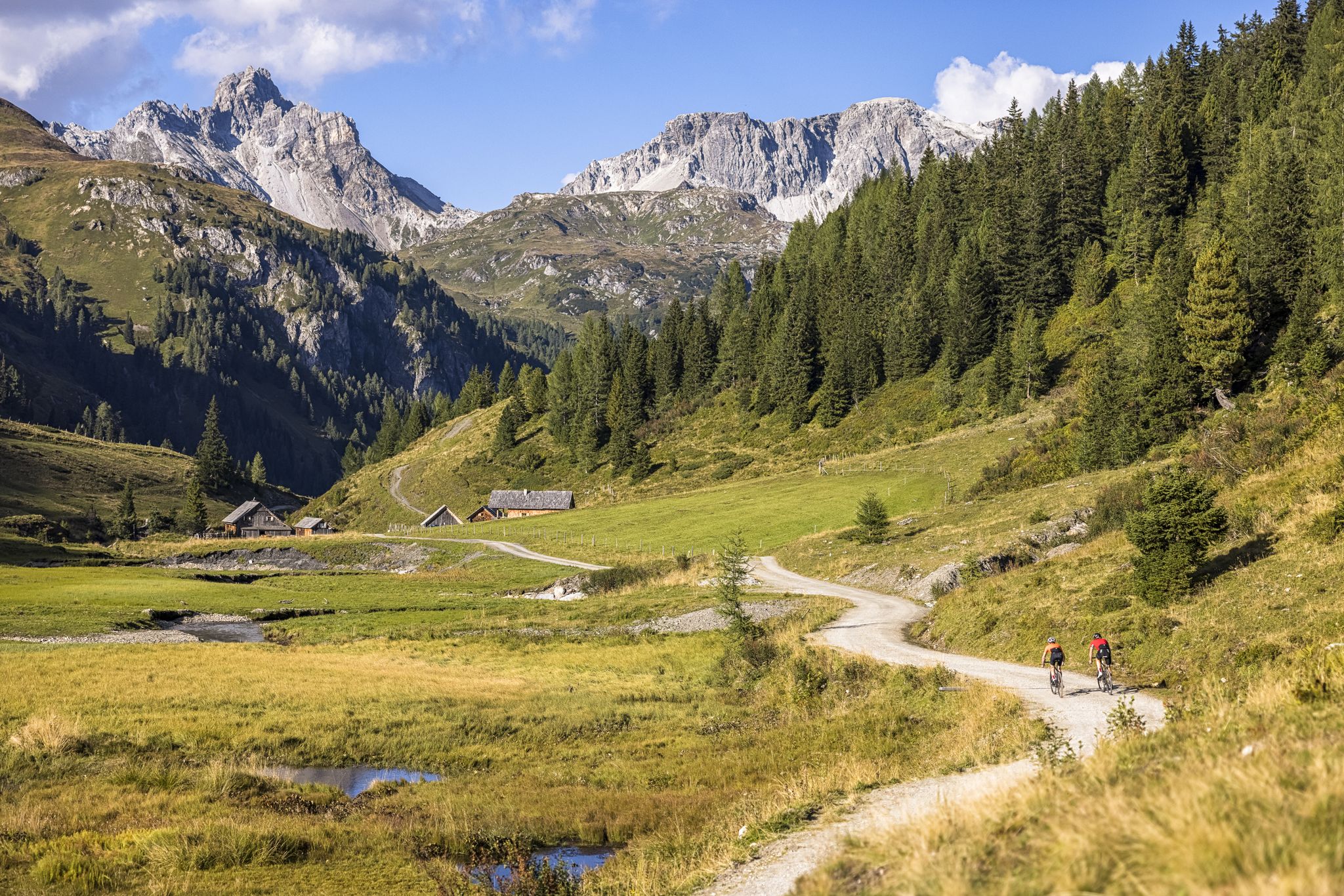
Epic biking – the best MTB routes in Salzburg's Lungau region
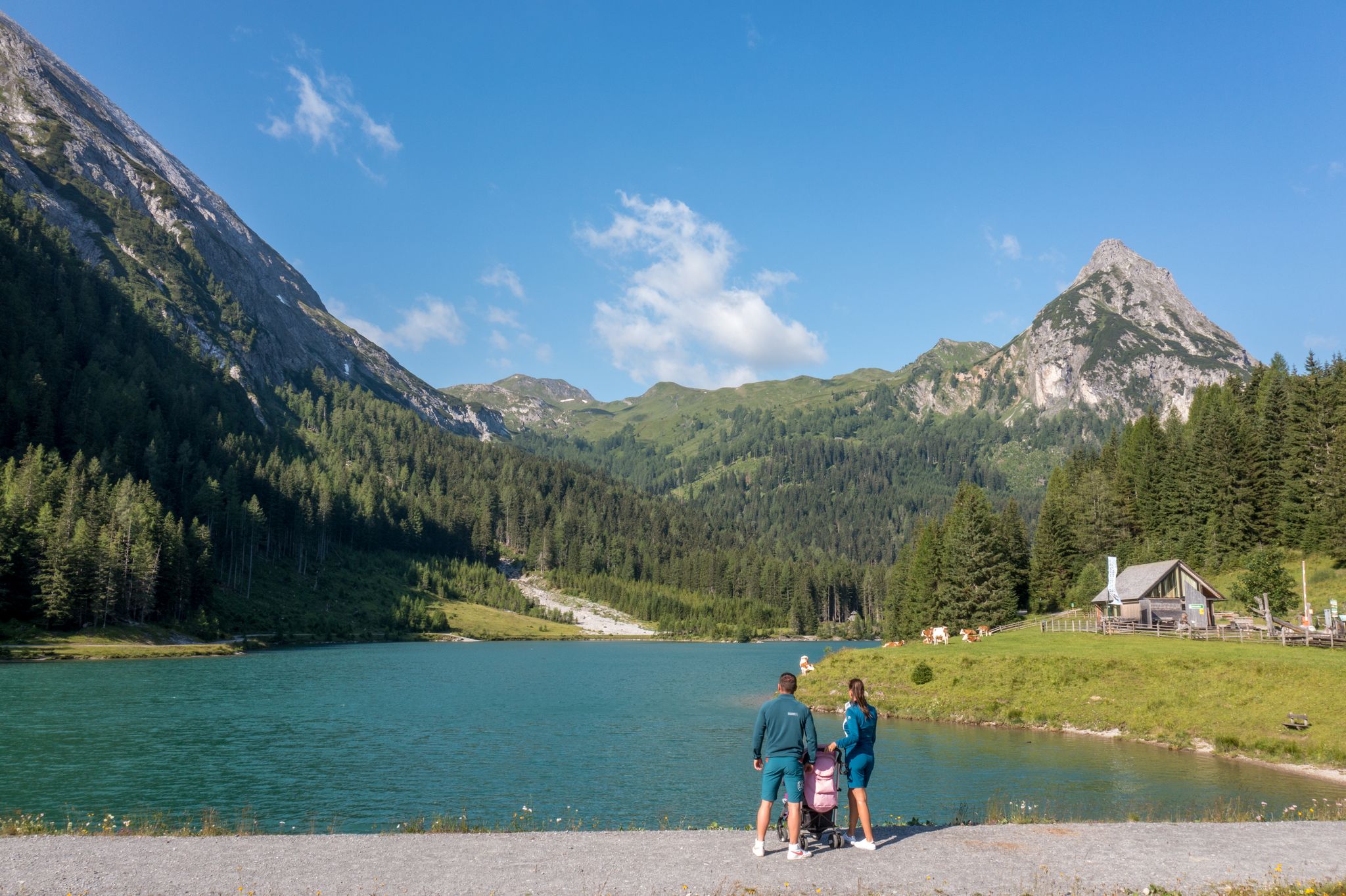
Erlebnisreich wandern - Die 11 schönsten Themenwege im Salzburger Lungau
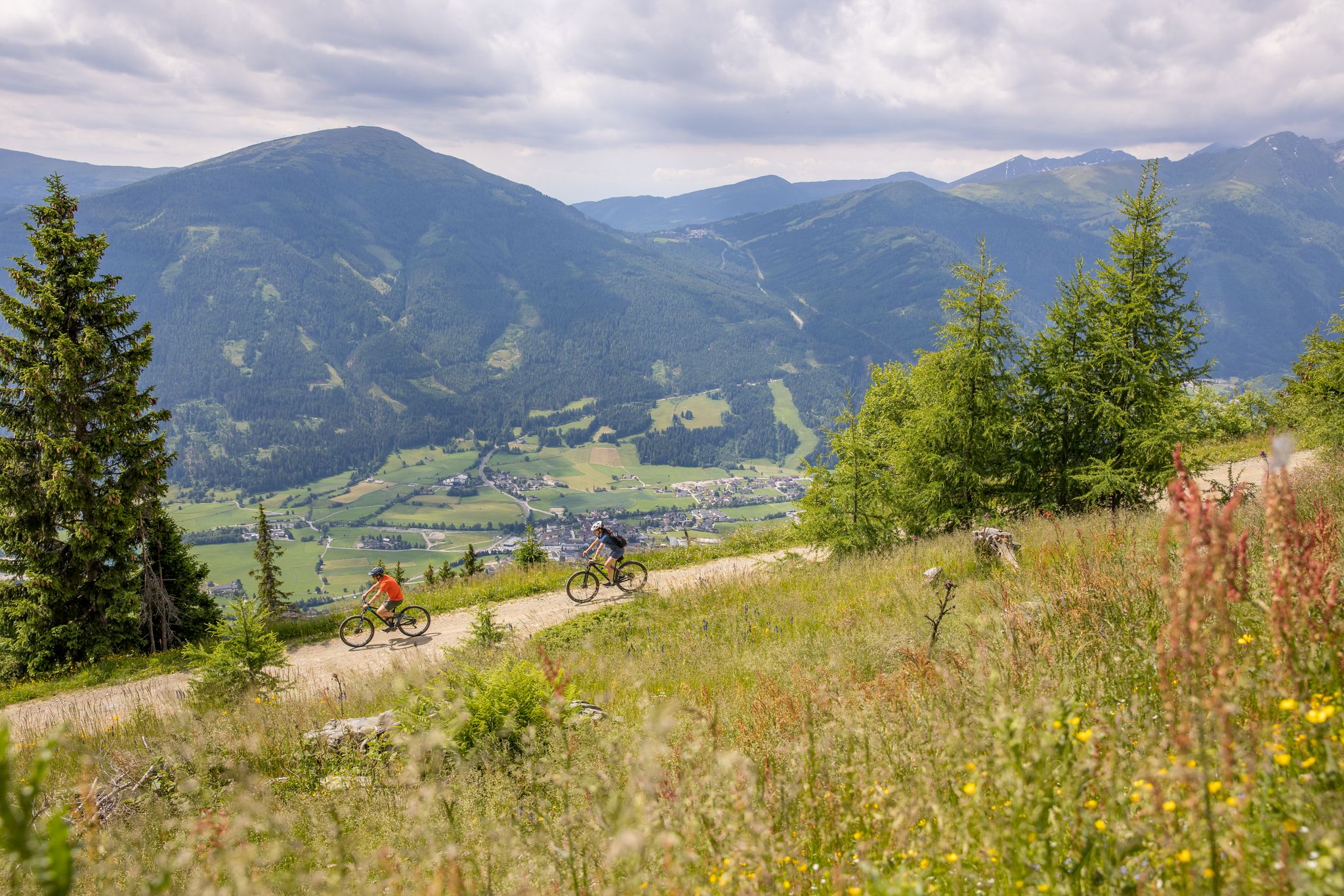
Durch Wälder und Berge - Mit dem Mountainbike durch den Salzburger Lungau
Road Cycling Routes around Sankt Andrä im Lungau
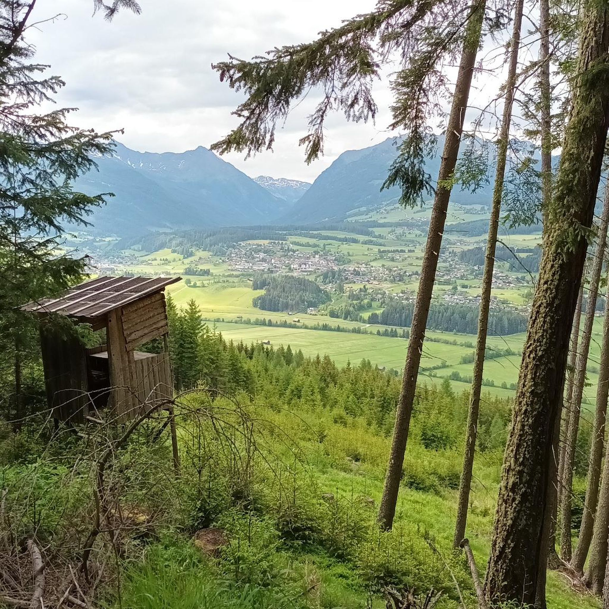
MTB Trails around Sankt Andrä im Lungau
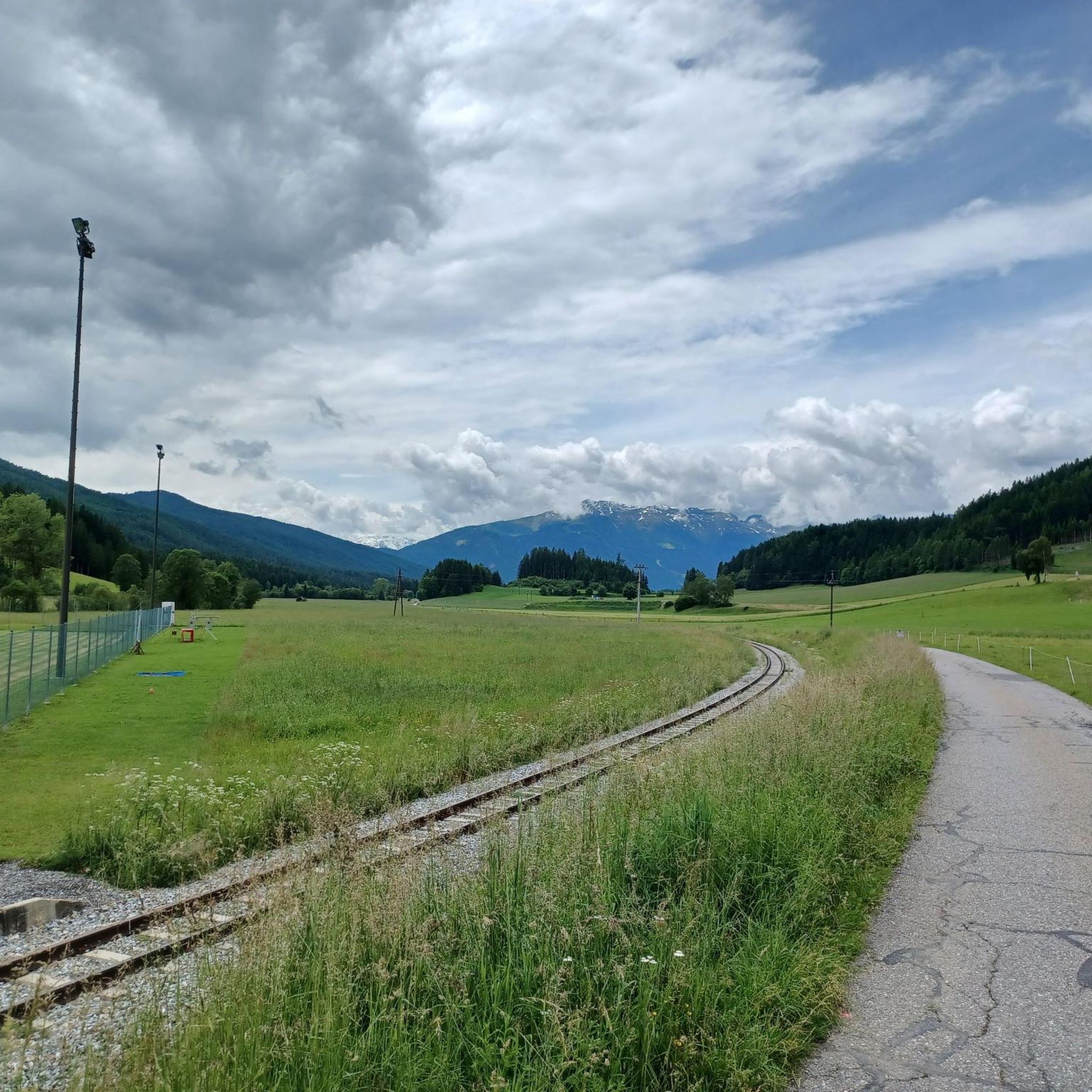
Cycling around Sankt Andrä im Lungau

Gravel biking around Sankt Andrä im Lungau
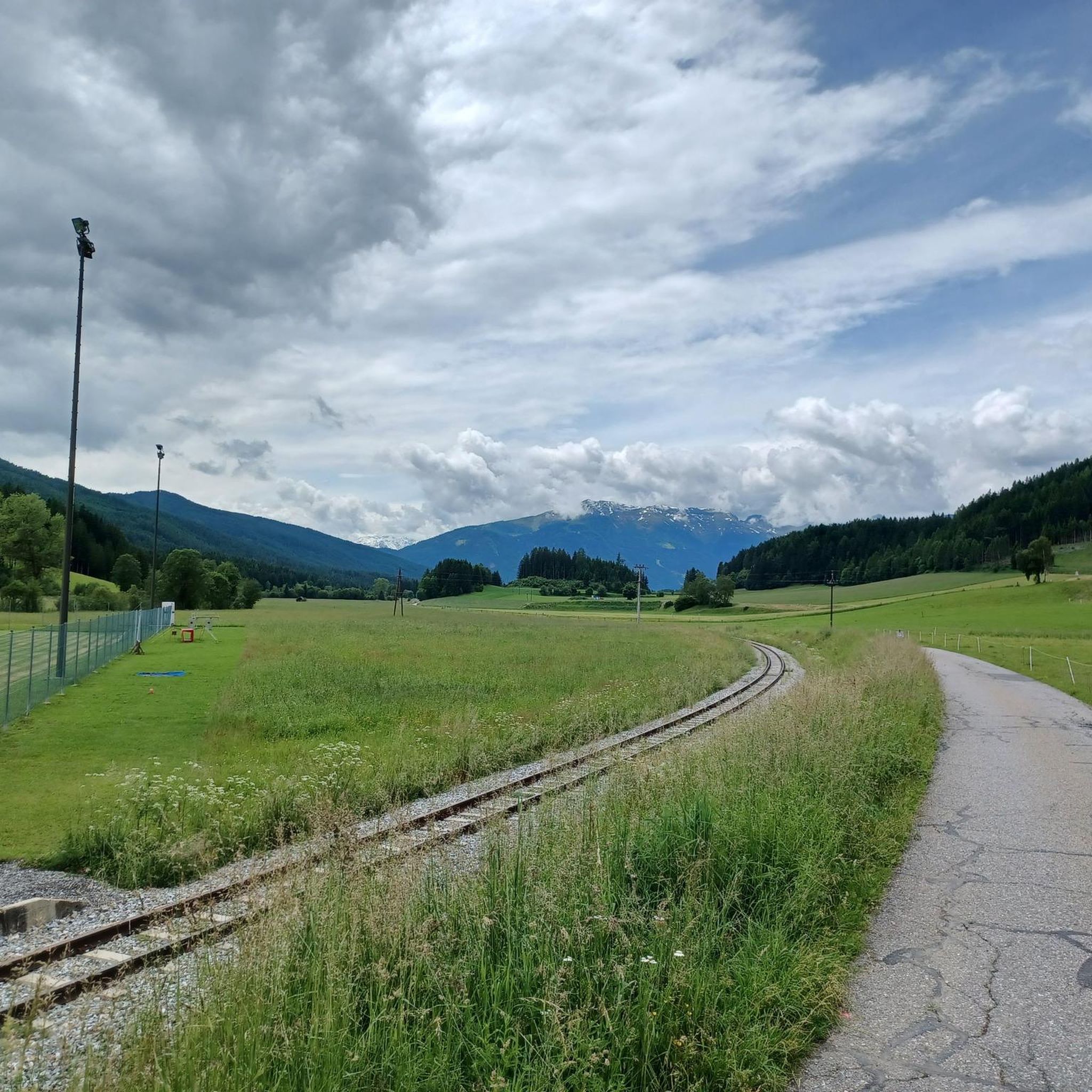
Hiking around Sankt Andrä im Lungau
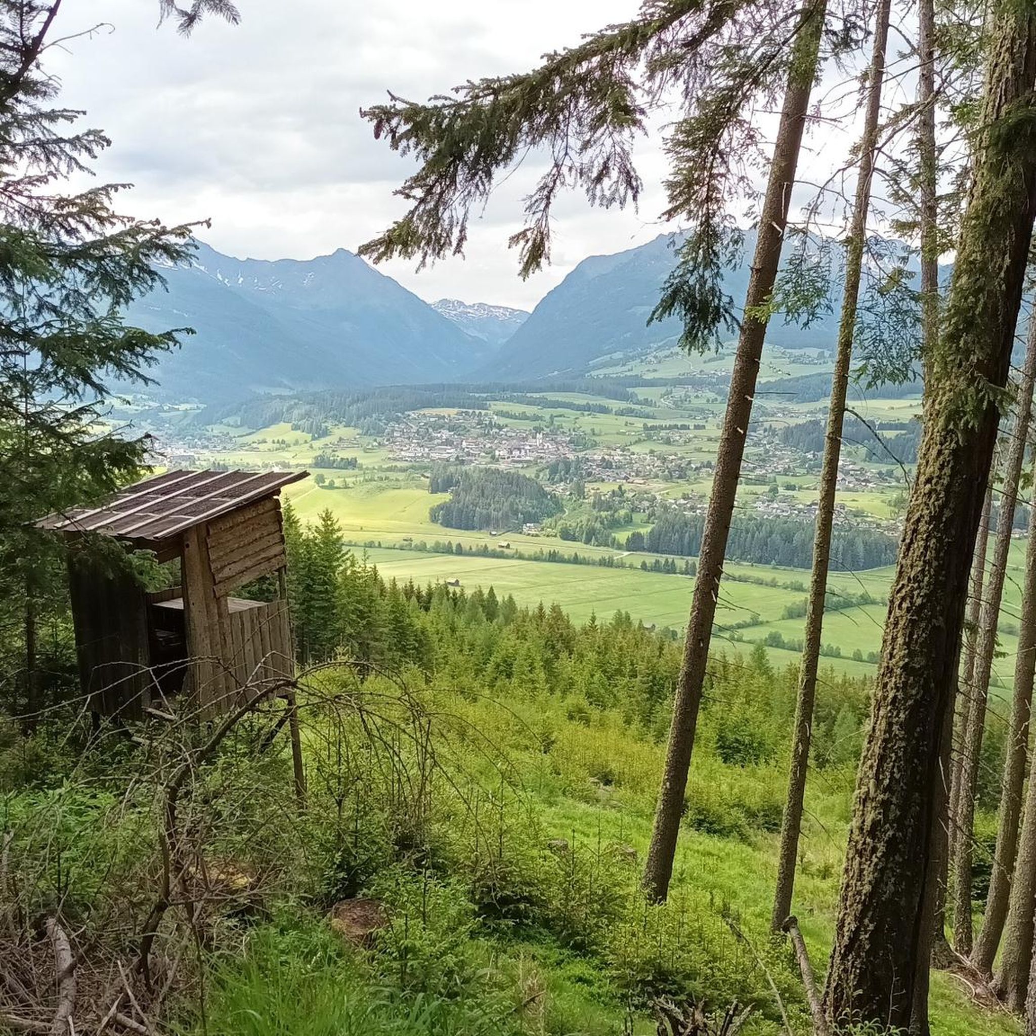
Running Trails around Sankt Andrä im Lungau
Other adventures around Sankt Andrä im Lungau


Tips from the Community

Playful stay for adults and children with learning effect
0
0
The Wildbachhütte is very easy to reach, perhaps by hiking or mountain bike. And a wonderful view. Of course with delicious food
0
0

Very worth seeing, you have to see it
0
0
Very worth seeing, you have to see it
0
0

Unfortunately not served in winter. There is still seating available
2
0

The Ludlalm is worth a visit! Open daily from 10 a.m. to 8 p.m., kitchen open until 7 p.m. Playground, toboggan hill, small animals, children won't be bored here. The Ludlalm even has a registry office. Further information at www.ludlalm.de Attention: no WiFi, no mobile data in or around the Ludlalm, no card payments.
1
0

Depending on your condition, it takes about 2 to 3 hours from the parking lot at Prebersee to the summit of the Preber. The ascent is very smooth and safe and easy to manage even for beginners Upstairs has my breathtaking view If you like, you can walk west along the ridge in the direction of Roteck. The path to the junction is not entirely harmless, and sure-footedness and a head for heights are a prerequisite! But it is also doable for inexperienced people with caution. (If you like, you can still go to the Rotec. Unfortunately, the ascent to the Roteck is not marked and is only recommended for experienced hikers). It then goes down into the valley via the Prebertal, a beautiful and easy descent with spectacular views. At the end don't forget to look up again to realize where you were
4
0

I find the very youthful features of the Jesus "child" interesting
1
0
Frequently Asked Questions
How many mountaineering routes are available around Sankt Andrä im Lungau?
There are over 15 distinct mountaineering routes in the Sankt Andrä im Lungau region, offering a variety of challenges and scenic experiences. These routes are highly rated by the komoot community, with an average score of 4.8 stars.
Are there any easy mountaineering routes in Sankt Andrä im Lungau?
While the region is known for its challenging alpine terrain, there are no routes specifically classified as 'easy' for mountaineering. However, some moderate routes offer less strenuous ascents, such as the Preber Halter Hut loop from Prebersattel, which is about 6.2 km long and takes around 2 hours 3 minutes.
What is the best time of year for mountaineering in Sankt Andrä im Lungau?
The prime season for mountaineering in Sankt Andrä im Lungau is typically from late spring to early autumn (June to September). During these months, trails are generally free of snow, and weather conditions are more stable, offering the best opportunities for high-alpine traverses and summit ascents. Always check local weather forecasts before heading out.
Are there any circular mountaineering routes in the area?
Yes, several routes in Sankt Andrä im Lungau are designed as loops, allowing you to start and end at the same point. Examples include the challenging Preber Halter Hut – Preber Summit loop from Prebersattel and the moderate Gumma – Wildbachhütte loop from Lessach.
What kind of wildlife might I encounter on the mountaineering trails?
The alpine environment around Sankt Andrä im Lungau is home to various wildlife. Keep an eye out for chamois and ibex on higher rocky slopes, marmots in alpine meadows, and various bird species, including birds of prey. Respect their habitat by maintaining a safe distance and not disturbing them.
Are there any mountaineering routes with hut stops for refreshments or overnight stays?
Yes, the region features routes that pass by or lead to mountain huts, offering opportunities for rest, refreshments, or even overnight stays. For instance, the Preber Halter Hut – Grazer Hut loop from Prebersattel connects two huts, providing convenient stopping points.
What are some notable landmarks or attractions I can see near the mountaineering routes?
Beyond the stunning mountain scenery, you can find several interesting landmarks. The Preber summit cross offers panoramic views, and other prominent peaks like Fanninghöhe Summit and Grosseck summit cross are also accessible. For other activities, the Outdoorpark Lungau offers bike park facilities.
Are there any advanced or challenging mountaineering routes in Sankt Andrä im Lungau?
Sankt Andrä im Lungau is well-suited for experienced mountaineers, with 11 routes classified as 'difficult'. These routes often involve sustained climbing and extensive high-alpine terrain. A prime example is the Preber Summit – Preber Halter Hut loop from Prebersattel, which offers expansive views and significant elevation gain.
What do other mountaineers enjoy most about the routes in Sankt Andrä im Lungau?
The routes in Sankt Andrä im Lungau are highly rated by the komoot community, with an average score of 4.8 stars from over 40 reviews. Mountaineers frequently praise the challenging ascents, the extensive high-alpine terrain, and the rewarding panoramic views from the summits.
Is public transport available to access mountaineering trailheads?
While specific public transport options to every trailhead may vary, the Lungau region generally has a bus network connecting its villages. It's advisable to check local bus schedules and routes in advance to plan your access to the starting points of your chosen mountaineering tours.
Are permits required for mountaineering in Sankt Andrä im Lungau?
Generally, no specific permits are required for day mountaineering trips on marked trails in the Sankt Andrä im Lungau area. However, always respect private land, protected areas, and any local regulations. If you plan to stay overnight in huts, reservations are often necessary.
Are the mountaineering routes in Sankt Andrä im Lungau suitable for families?
The mountaineering routes in Sankt Andrä im Lungau are predominantly classified as moderate to difficult, involving significant elevation changes and rugged terrain. These are generally not recommended for young children or families seeking easy walks. Families with older, experienced children might find some of the shorter moderate routes feasible, but careful assessment of fitness and experience is crucial.
Most popular routes around Sankt Andrä im Lungau
Most popular attractions around Sankt Andrä im Lungau

Get inspired with the komoot mobile app


Explore more
Browse the best Mountain Hikes & Routes in other regions.
