The best walks and hikes around Great Abington
4.5
(318)
2,619
hikers
197
hikes
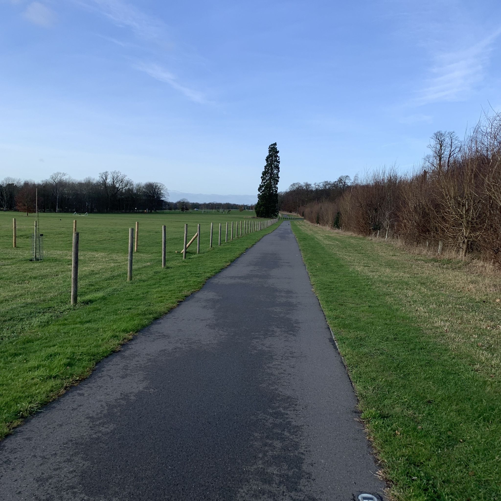
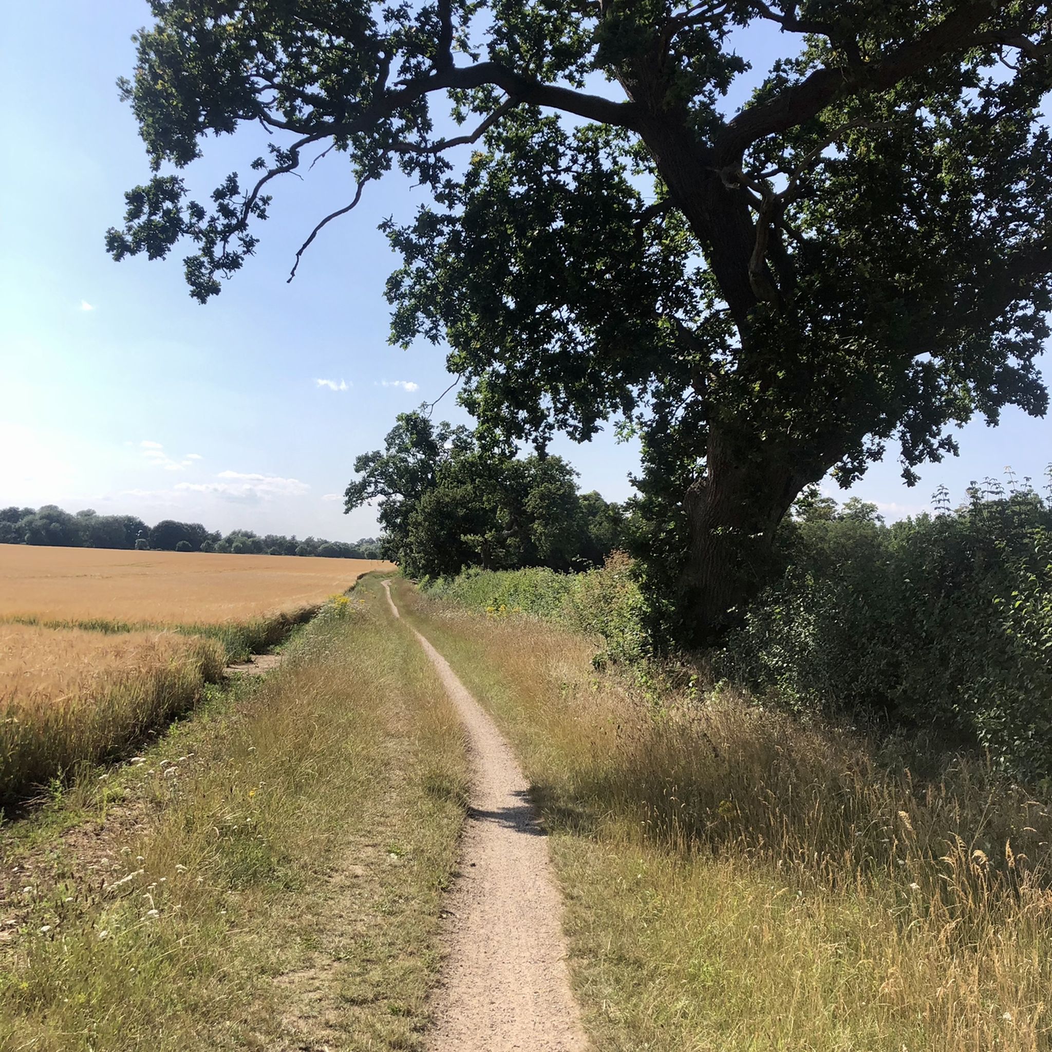
Hiking around Great Abington offers access to a landscape characterized by predominantly flat terrain, open fields, and woodlands. The region features the meandering River Granta, providing pleasant paths along its banks. This accessible environment is suitable for various fitness levels, making it ideal for leisurely walks.
Best hiking trails around Great Abington
- The most popular hiking route is Scenic Waterway View – Wetland Nature Reserve loop from Hinxton, a 3.2 miles (5.2 km) trail that takes 1 hour 19…
Last updated: August 29, 2026
4.7
(3)
33
hikers
11.4km
03:01
110m
110m
Moderate hike. Good fitness required. Easily-accessible paths. Suitable for all skill levels.
5.0
(2)
14
hikers
11.7km
03:04
80m
80m
Moderate hike. Good fitness required. Easily-accessible paths. Suitable for all skill levels.

Sign up for free
4.2
(5)
16
hikers
7.58km
01:57
30m
30m
Easy hike. Great for any fitness level. Easily-accessible paths. Suitable for all skill levels.
4.5
(2)
8
hikers
Moderate hike. Good fitness required. Easily-accessible paths. Suitable for all skill levels.
4.3
(3)
11
hikers
Moderate hike. Good fitness required. Easily-accessible paths. Suitable for all skill levels.
Get access to more routes and recommendations from other explorers.
Sign up for free
Already have an account?
Our route recommendations are based on thousands of hikes, rides, and runs completed by other people on komoot.
Start today with a free account
Your next adventure awaits.
Login or Signup

Tips from the Community

Recently refurbished and reopened June 2025 as a community owned freehouse. Open 7 days a week, Mon & Tues from 4pm; Wed to Sun from 12pm.
0
0

New name & ownership, with more focus on coffee and good quality breakfasts & light lunches. Nice courtyard out front in the better weather, and garden at the rear. Open 8am-5pm Tue-Fri, 9am-5pm Sat-Sun
0
0

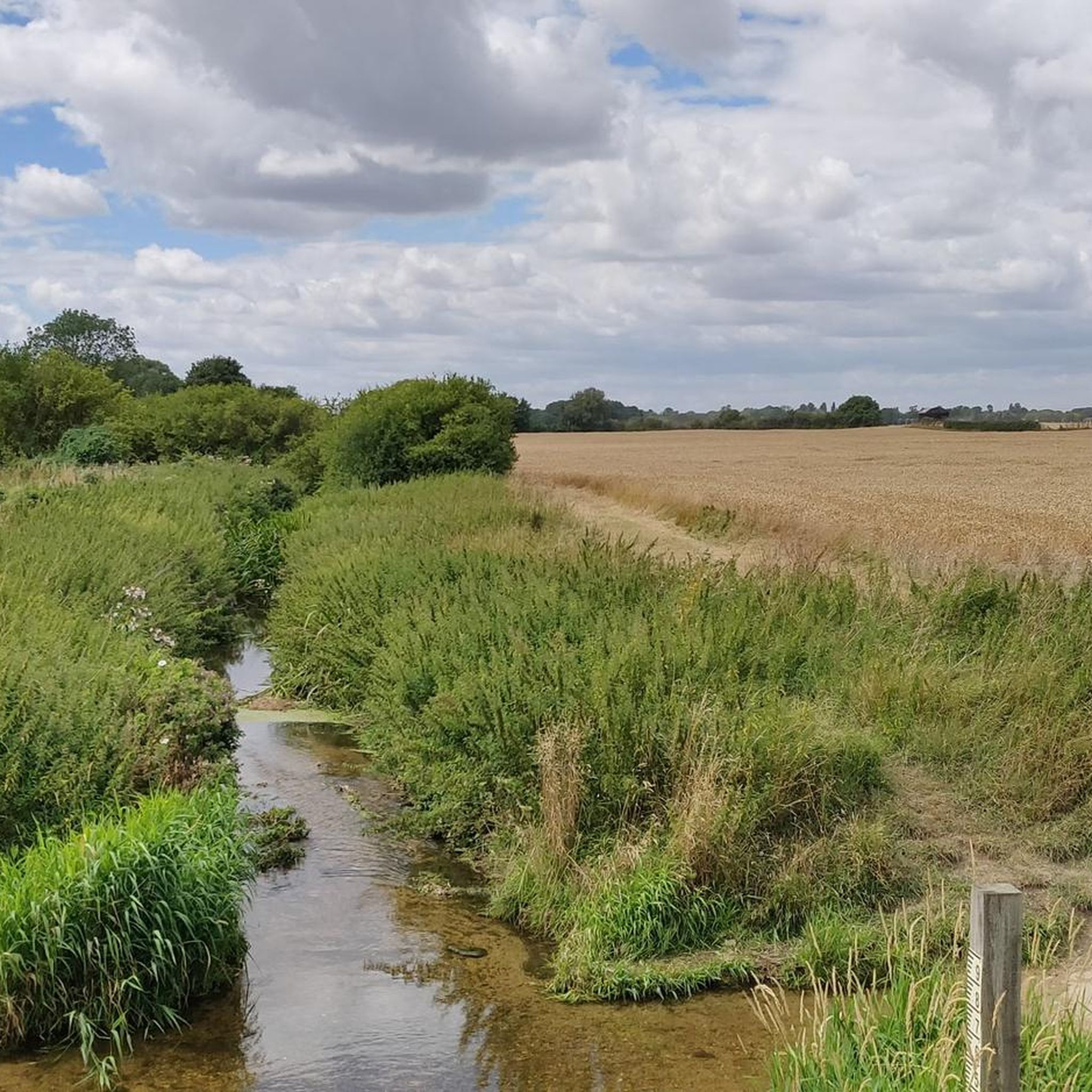
P.S. The land owner/farmer has obviously had problems with unauthorised vehicles using this track, because there are now large hay bales installed either side of the ford and in front of nearby farm gates. Access across the stream via the adjacent footbridge is still possible, but don't be disappointed if you wanted to take a run through the ford. P.P.S. The hay bales have now been removed from the ford!
1
0

nice sections of fast gravel on either side of the ford. great section from Babraham to Stapleford
0
0
Independent coffee shop situated in the Stapleford Granary arts centre. Indoor seating as well as a terrace at the back and a few outdoor tables at the front. Plenty of bike parking available too. Open 8.30am-4pm in the week (closed Wed), 9am-3pm Sat, 10am-3pm Sun.
1
0


A lovely cafe serving a selection of cakes and savouries - their scotch eggs!! They also serve breakfast sandwiches, frittatas and all the usual hot / cold drinks - their coffee beans are roasted locally, the fizzy drinks are from indie producers and there is a theme of sustainability running through everything they do. There is a lunch menu but I've not been late enough to see it! They also make celebration cakes to order!
1
0
Someone in the Cambs highways department clearly has a sense of humour. 😂 One of the best sign combinations I’ve seen.
0
0
Frequently Asked Questions
How many hiking trails are available around Great Abington?
There are over 200 hiking routes around Great Abington, offering a wide variety of options for different preferences and fitness levels. The komoot community has explored these trails over 2,500 times.
What kind of terrain can I expect on hikes around Great Abington?
The terrain around Great Abington is predominantly flat, characterized by open fields, woodlands, and paths alongside the meandering River Granta. This makes it ideal for leisurely walks and accessible for various fitness levels. Some routes, like the Avenue of Trees – Magog Down loop from Babraham, offer gentle elevation changes.
Are there easy hiking routes suitable for beginners or families in Great Abington?
Yes, Great Abington is well-suited for easy hikes, with over 100 routes classified as easy. These trails are perfect for beginners, families, or those looking for a relaxed stroll. An example is the Scenic Waterway View – Wetland Nature Reserve loop from Hinxton, which features easily accessible paths.
Are there any circular walking routes in the Great Abington area?
Many of the routes around Great Abington are circular, allowing you to start and end at the same point. For instance, the Wide Gravel Path loop from Sawston War Memorial is a popular circular option, offering pleasant views and easy navigation.
What natural features or landmarks can I see while hiking near Great Abington?
Hikers can enjoy the scenic River Granta, which flows through the region, offering pleasant paths along its banks. The area also features a patchwork of open fields and woodlands. You can also explore nearby attractions such as the Roman Road (Cambridge to Haverhill), a historical track popular for walking and cycling.
Are the hiking trails around Great Abington dog-friendly?
Many of the trails around Great Abington are dog-friendly, especially those through open fields and along public footpaths. It's always recommended to keep dogs on a lead, especially near livestock or in nature reserve areas, and to check local signage for specific restrictions.
What do other hikers enjoy most about the trails in Great Abington?
The trails in Great Abington are highly rated by the komoot community, with an average score of 4.5 stars from over 250 reviews. Hikers often praise the peaceful, accessible nature of the routes, the charming countryside views, and the opportunity for leisurely walks along the River Granta.
Is there parking available for hikers in Great Abington?
Yes, parking is generally available in and around Great Abington, particularly in village centers or designated car parks near popular trailheads. It's advisable to check specific starting points for the best parking options.
Are there any pubs or cafes near the hiking trails in Great Abington?
Great Abington and its surrounding villages offer local pubs and cafes where hikers can refresh. For example, Waffle (Formerly Bicicletta) is a nearby cafe that could be a good stop.
What is the best time of year to go hiking in Great Abington?
Great Abington offers enjoyable hiking experiences year-round due to its generally flat and accessible terrain. Spring and summer bring vibrant wildflowers and lush greenery, while autumn offers beautiful foliage. Even in winter, the paths are often suitable for walking, though conditions can be muddy.
Are there any moderate hiking options for those seeking a bit more challenge?
While many routes are easy, Great Abington also offers moderate hiking options for those looking for a slightly longer distance or gentle elevation. There are 85 moderate routes available, such as the Avenue of Trees – Magog Down loop from Babraham, which covers a longer distance and includes some varied terrain.
Can I reach hiking trails in Great Abington using public transport?
Public transport options to Great Abington and nearby villages exist, primarily via local bus services connecting to larger towns like Cambridge. It's recommended to check current bus schedules and routes to plan your journey to specific trailheads.
Most popular attractions around Great Abington

Get inspired with the komoot mobile app


Explore more
Browse the best Hikes in other regions.
