The best running trails around East Budleigh
4.6
(29)
1,806
runners
14
runs
Jogging routes around East Budleigh traverse a varied landscape within an Area of Outstanding Natural Beauty in East Devon. The region features the tranquil River Otter Valley, offering flat paths alongside watercourses, and the more elevated, open heathland of Woodbury Common, which includes an Iron Age hillfort. Proximity to the coast provides access to paths with sea views, while inland routes often pass through farmland and woodlands. The terrain ranges from accessible, mostly paved surfaces to more challenging, undulating trails.
…Last updated: October 3, 2026
3.0
(1)
6
runners
13.4km
01:31
210m
220m
Moderate run. Good fitness required. Mostly accessible paths. Some sure footedness required.
5.0
(1)
89
runners
Hard run. Very good fitness required. Mostly paved surfaces. Suitable for all skill levels.

68
runners
22.6km
02:39
320m
320m
Hard run. Very good fitness required. Mostly paved surfaces. Suitable for all skill levels.
5.0
(1)
47
runners
4.99km
00:31
60m
60m
Easy run. Great for any fitness level. Mostly paved surfaces. Suitable for all skill levels.
36
runners
12.0km
01:17
40m
40m
Moderate run. Good fitness required. Mostly paved surfaces. Suitable for all skill levels.
Get access to more routes and recommendations from other explorers.
Already have an account?
Our route recommendations are based on thousands of hikes, rides, and runs completed by other people on komoot.
Start today with a free account
Your next adventure awaits.


Tips from the Community

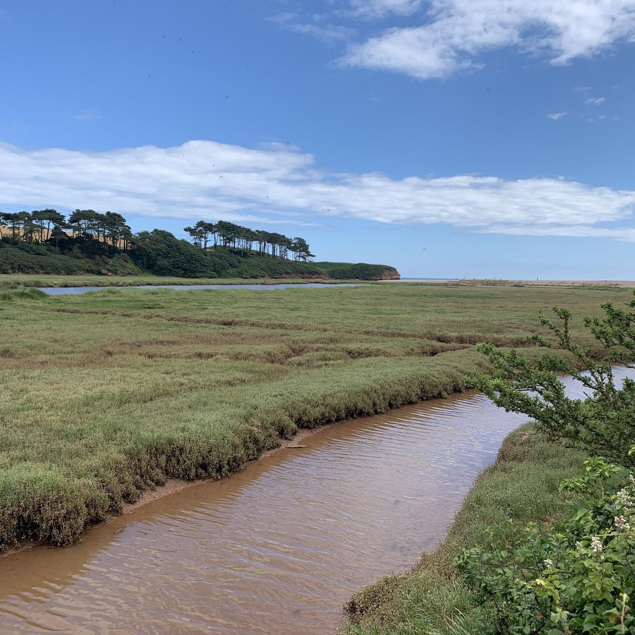
It goes up and down a bit, but it's easy to ride.
0
0
Very idyllic recreational area with beautiful bike paths.
0
0

Stunning little cycle path, quiet so expect walkers with dogs off lead. They were all good boys and girls when I was there though.
0
0


Looking for the ultimate "shore-side" refuel? Fifty Degrees NorthClick to open side panel for more information is a literal stone’s throw from the pebbles of Budleigh Salterton beach, serving up big coastal vibes with even bigger flavors. It’s the perfect spot to park your flip-flops and soak in the Jurassic Coast views. Pebble-Side Treats: Reviewers rave about their artisanal coffee and decadent homemade cakes—perfect for a post-beach-walk sugar hit. Salty Air Dining: The outdoor seating is a front-row seat to the ocean, making it a "suntrap" favorite for locals and their four-legged friends. Fresh & Local: Visitors often highlight the fresh, seasonal menu items that turn a simple lunch into a seaside feast.
0
0
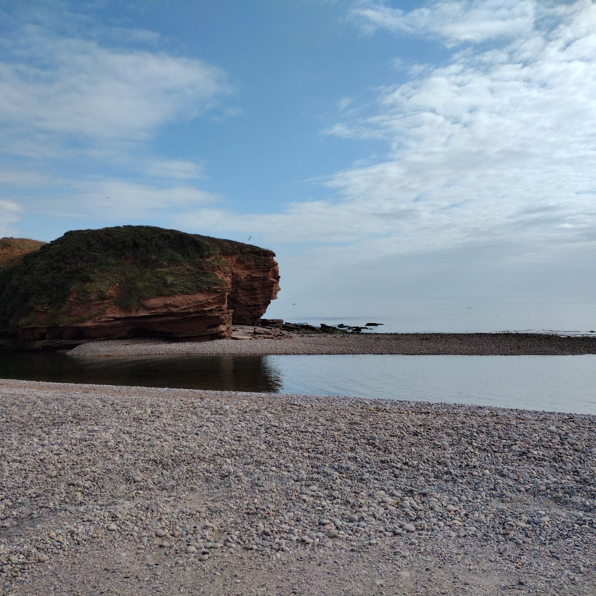
Forget the bucket and spade—at Budleigh Salterton, it’s all about the "Budleigh Buns!" These giant, smooth, oval pebbles are the beach’s signature, making it a paradise for stone-stackers and rock-pool explorers. Part of the Jurassic Coast, the beach is framed by dramatic, red Triassic cliffs that look like they’ve been toasted. It’s a wonderfully "posh and peaceful" spot where you can swap noisy arcades for the gentle crunch-crunch of your footsteps. Grab a crab sandwich, watch the colorful fishing boats, and see if you can find a pebble with a hidden fossil. It’s geology, but make it fashion!
0
0

Frequently Asked Questions
How many running routes are available around East Budleigh?
There are over 10 dedicated running routes around East Budleigh, offering a variety of distances and difficulty levels. The komoot community has explored these trails over 2000 times, highlighting the area's popularity for outdoor activities.
What kind of terrain can I expect on running trails near East Budleigh?
The running trails around East Budleigh offer diverse terrain. You can find flat, accessible paths along the tranquil River Otter Valley, more challenging undulating heathland on Woodbury Common, and stunning coastal paths with sea views near Budleigh Salterton. Many routes also traverse farmland and woodlands, providing a varied experience.
Are there easy running routes suitable for beginners in East Budleigh?
Yes, East Budleigh offers some easier running options. The paths along the River Otter Valley are generally flatter and more accessible, making them suitable for beginners or those seeking a gentler pace. The nearby Exe Estuary Trail is also largely flat and traffic-free, perfect for an easy run.
Where can I find more challenging running trails near East Budleigh?
For a more challenging run, head to Woodbury Common. Routes like the Woodbury Common & Woodbury Castle loop from East Budleigh offer significant elevation gain and cover up to 7.5 miles. The coastal path, such as the difficult Budleigh Salterton Beach – High Peak Trig Point loop from Budleigh Salterton, also provides a demanding experience with expansive views.
What scenic views or landmarks can I expect on a run in East Budleigh?
Running in East Budleigh offers a wealth of scenic beauty. Along the River Otter Valley, you might spot abundant wildlife, including herons and beavers. Woodbury Common provides expansive heathland views and the historic Woodbury Castle hillfort. Coastal routes near Budleigh Salterton offer breathtaking views of the Jurassic Coast and red cliffs, with highlights like Orcombe Point and the Geoneedle. You can also enjoy peaceful countryside views through farmlands and woodlands.
Are there any circular running routes in East Budleigh?
Many of the running routes around East Budleigh are designed as loops, allowing you to start and finish in the same location. Examples include the Woodbury Common & Woodbury Castle loop from East Budleigh and the Running loop from Bicton, which explores the River Otter Valley.
Can I bring my dog on the running trails around East Budleigh?
Many of the trails in the East Budleigh area, particularly those through the River Otter Valley and countryside footpaths, are dog-friendly. However, it's always advisable to keep dogs under control, especially when passing through areas with livestock or near wildlife habitats. Please check local signage for specific rules and regulations.
Are there family-friendly running paths in East Budleigh?
Yes, the flatter sections along the River Otter Valley are generally suitable for families, offering accessible surfaces. These paths provide a pleasant environment for a family run or walk. The Exe Estuary Trail is another excellent option, being largely traffic-free and flat.
What do other runners say about the jogging routes in East Budleigh?
The running routes in East Budleigh are highly rated by the komoot community, with an average score of 4.6 stars from over 20 reviews. Runners often praise the diverse landscapes, from the tranquil river paths to the challenging heathland and stunning coastal views, as well as the well-documented nature of the trails.
Are there any running routes that pass by historical sites or points of interest?
Absolutely. The Woodbury Common & Woodbury Castle loop from East Budleigh takes you past the ancient Woodbury Castle, an Iron Age hillfort. Additionally, routes along the River Otter can lead towards historical features like the Bicton Obelisk and Church, offering a blend of natural beauty and heritage.
Is there public transport access to any of the running routes in East Budleigh?
While East Budleigh itself is a village, nearby towns like Budleigh Salterton offer better public transport links. From Budleigh Salterton, you can access coastal paths, including sections of the South West Coast Path. The Exe Estuary Trail is also accessible via public transport to various points along its route, making it convenient for runners.
Are there any routes that connect East Budleigh to the coast?
Yes, East Budleigh is only two miles from the sea. Routes can connect you to coastal towns like Budleigh Salterton, where you can then access the South West Coast Path. A popular option is the River Otter – Budleigh Salterton Seafront loop from Bicton, which takes you towards the coast along the river.
Most popular routes around East Budleigh
Most popular attractions around East Budleigh

Get inspired with the komoot mobile app


Explore more
Browse the best Running Trails & Routes in other regions.
