The best road cycling routes around Takeley
4.6
(170)
5,816
riders
20
rides
Road cycling routes around Takeley are characterized by a network of well-maintained paths traversing the picturesque countryside of Uttlesford in Essex. The region features quiet country lanes, charming hedgerows, and green spaces, providing varied terrain for cyclists. Notable natural features include the ancient Hatfield Forest, offering a backdrop of diverse wildlife and historic trees. The area's gentle elevation changes make it suitable for a range of cycling abilities.
Best road cycling routes around Takeley
- The most popular road cycling route…
Last updated: May 21, 2026
27
riders
Hard road ride. Very good fitness required. Mostly well-paved surfaces and easy to ride.
11
riders
22.5km
00:55
120m
120m
Easy road ride. Great for any fitness level. Mostly well-paved surfaces and easy to ride.

Sign up for free
5.0
(1)
13
riders
23.3km
01:07
130m
130m
Moderate road ride. Great for any fitness level. Some segments of this route may be unpaved and difficult to ride.
12
riders
Moderate road ride. Good fitness required. Mostly well-paved surfaces and easy to ride.
6
riders
25.3km
01:04
110m
110m
Easy road ride. Great for any fitness level. Mostly well-paved surfaces and easy to ride.
Get access to more routes and recommendations from other explorers.
Sign up for free
Already have an account?
Our route recommendations are based on thousands of hikes, rides, and runs completed by other people on komoot.
Start today with a free account
Your next adventure awaits.
Login or Signup
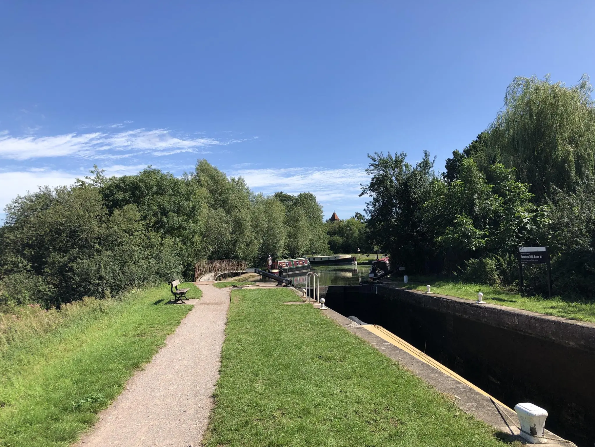
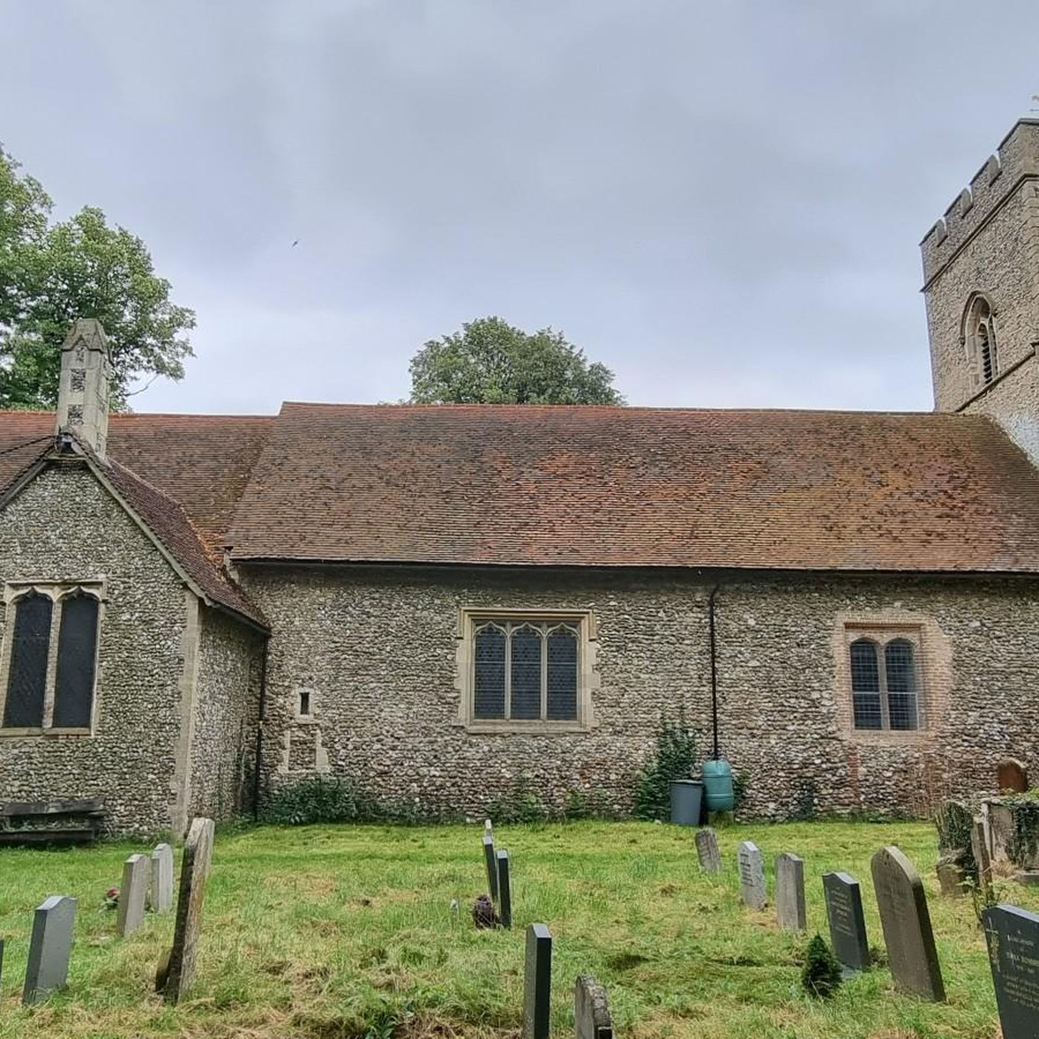
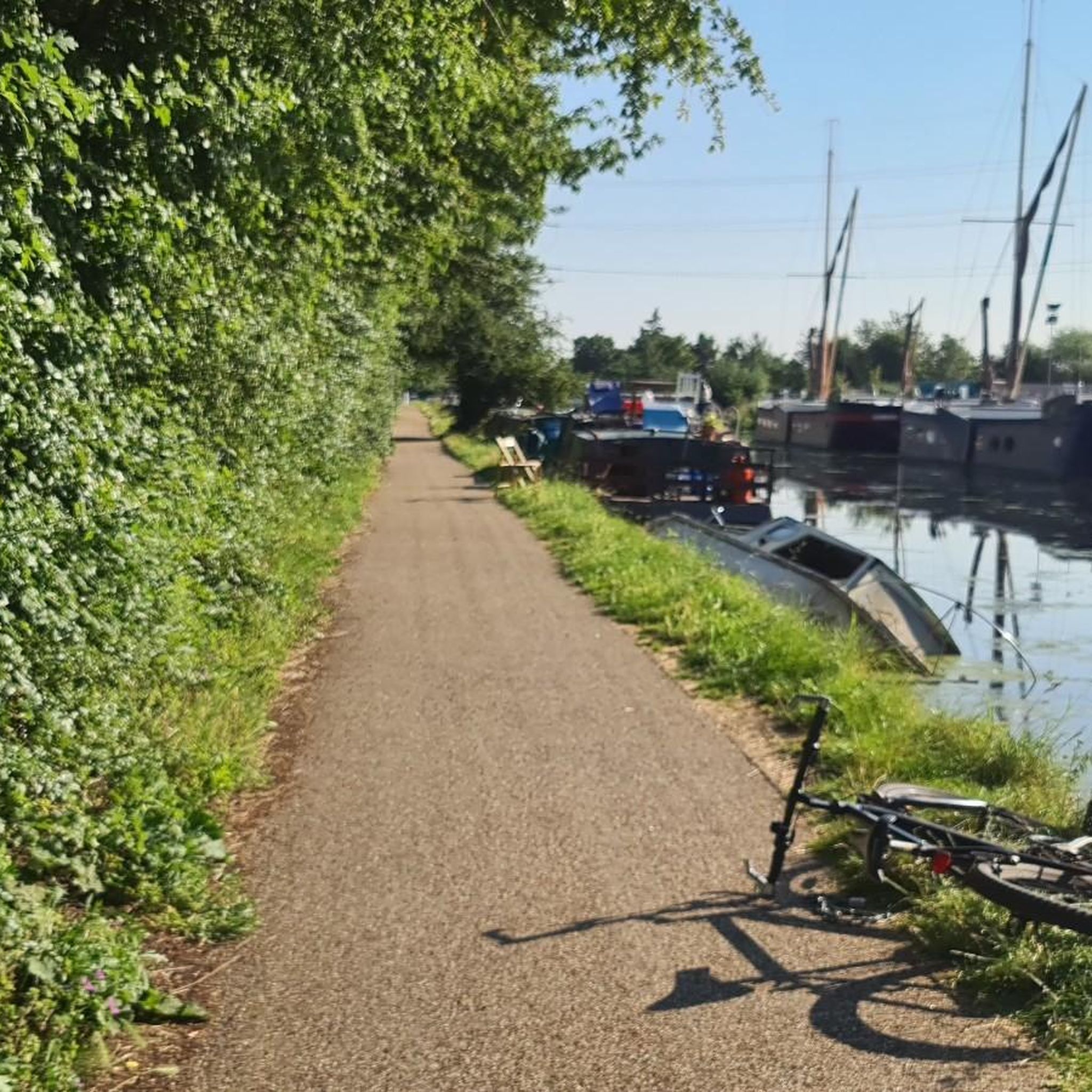
Other adventures around Takeley

Tips from the Community


Lovely flowing road apparently a part of the Tour de France route.
0
0

An easy downhill westbound and one of those not too steep, but "will it ever end?!" climbs eastbound.
0
0

Sign and view on the Filtch Way, next to the entrance into Hatfield Forest.
0
0

Yeomans cafe has a gate at the back to a small outside area for your bike but you'll probably have to ask to unlock.
0
0

Someone in the Cambs highways department clearly has a sense of humour. 😂 One of the best sign combinations I’ve seen.
0
0


picturesque village with an idyllic pub location!
1
0
Frequently Asked Questions
How many road cycling routes are available around Takeley?
There are over 20 road cycling routes around Takeley, offering a variety of options for different skill levels. These routes are highly rated by the komoot community, with an average score of 4.5 stars.
What kind of terrain can I expect on road cycling routes in Takeley?
Road cycling around Takeley primarily features quiet, well-paved country lanes, often lined with charming hedgerows and surrounded by green spaces. The region is known for its gentle elevation changes, making it suitable for a range of cycling abilities, from easy spins to more challenging rides with significant elevation gains.
Are there any family-friendly road cycling options in Takeley?
While many routes use quiet country lanes, the Country Lane Between Hedgerows – High Easter Cricket Field loop from Takeley is an easy 23.8-mile route that leads through picturesque countryside, suitable for those looking for a less strenuous ride. The Flitch Way, a popular shared-use path, also offers a dedicated and often traffic-free route for cycling, which can be ideal for families.
What natural features or landmarks can I see along the road cycling routes?
Many routes pass through or near the ancient Hatfield Forest, a preserved medieval forest with ancient trees, diverse wildlife, and a beautiful lake. You might also encounter historic sites like St John the Evangelist Church, Bush End, or enjoy the general picturesque countryside and extensive hedgerows.
Are there any cafes or places to stop for refreshments along the routes?
Yes, the region is welcoming to cyclists. A notable stop is The Snug at High Easter, a cafe that offers seating and refreshments, often incorporated into local cycling routes.
Are there any circular road cycling routes around Takeley?
Yes, many of the routes around Takeley are designed as loops. For example, the Country Lane Between Hedgerows – Bacon End loop from Stansted Airport is a moderate 26.9-mile path that winds through scenic country lanes.
What is the best time of year for road cycling in Takeley?
The area's quiet country lanes and scenic landscapes are enjoyable throughout the warmer months. Spring and autumn offer pleasant temperatures and beautiful scenery, while summer provides longer daylight hours. Winter cycling is possible, but riders should be prepared for potentially colder and wetter conditions.
Are there options for advanced road cyclists looking for a challenge?
Absolutely. For experienced riders, the Warren Hill Gallops – Finchingfield Village Green loop from Stansted Airport is a difficult 74.8-mile route featuring significant elevation gains and varied terrain, taking approximately 5 hours and 10 minutes to complete.
What are the options for easy road cycling routes in Takeley?
If you're looking for an easier ride, the Downhill Westbound – Flood-Prone Road Section loop from Takeley is an easy 22.5-mile route with moderate elevation changes, offering a pleasant experience through the countryside.
Can I find routes that are specifically scenic?
The entire region around Takeley is characterized by picturesque countryside, quiet country lanes, and charming hedgerows, making most routes scenic. The Roadbike loop from Takeley, for instance, offers a lovely 23.1-mile ride through the area's characteristic landscapes.
What do other road cyclists enjoy most about cycling in Takeley?
The komoot community highly rates the road cycling experience in Takeley, with an average score of 4.5 stars. Cyclists frequently praise the quiet country lanes, the scenic beauty of the countryside, and the well-maintained surfaces that make for an enjoyable ride.
Most popular attractions around Takeley

Get inspired with the komoot mobile app


Explore more
Browse the best Road cycling routes in other regions.
