The best walks and hikes around Froxfield And Privett
4.6
(1771)
12,904
hikers
615
hikes
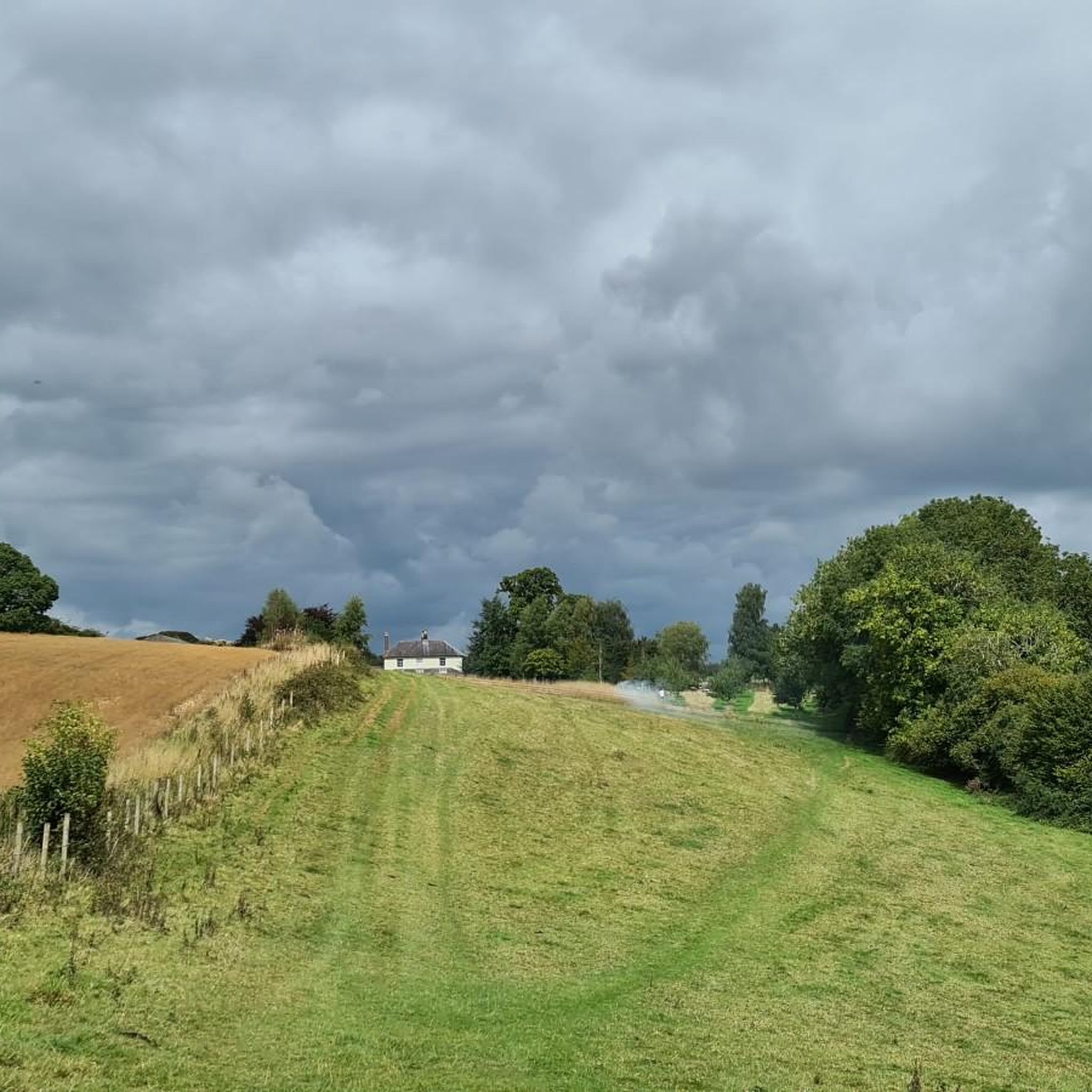
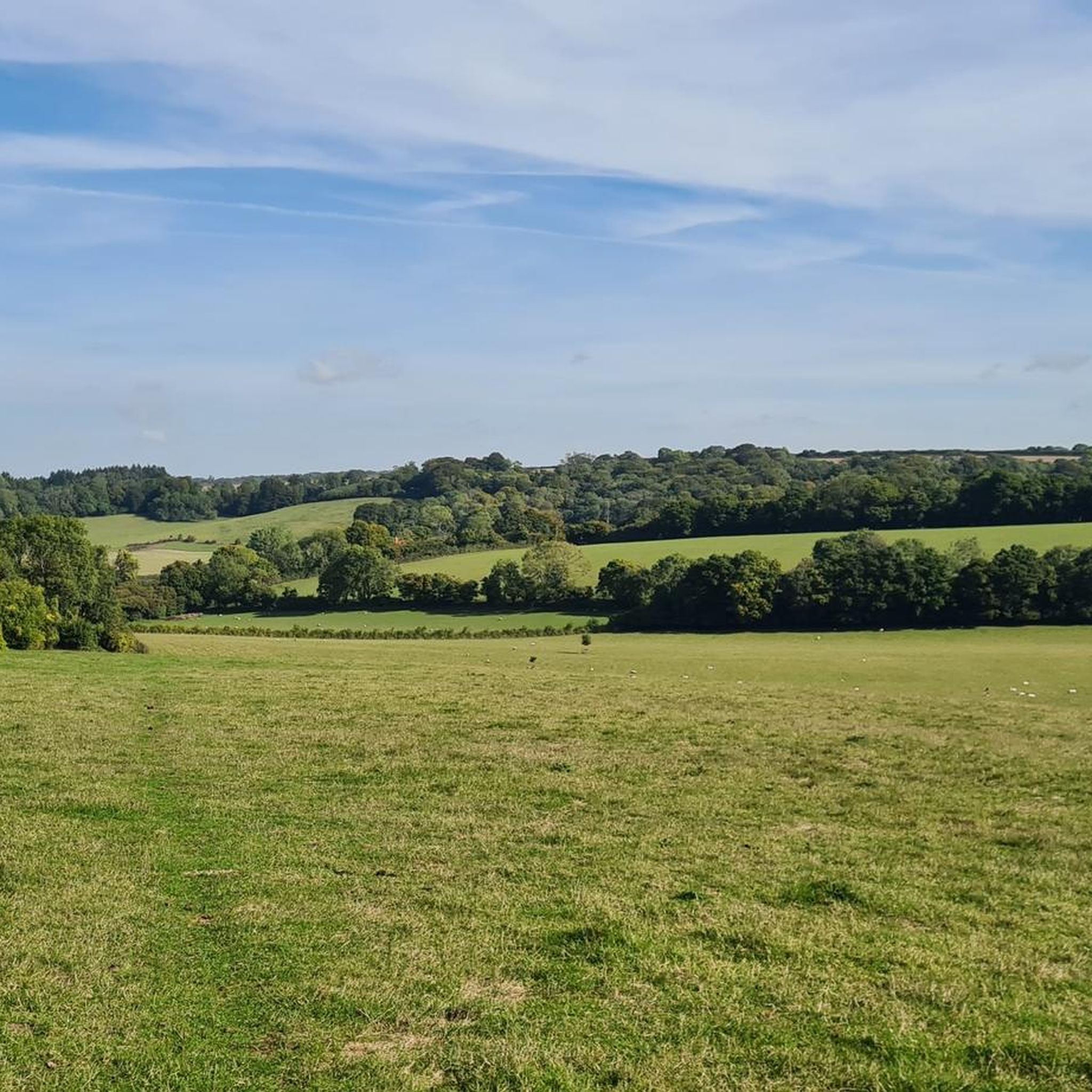
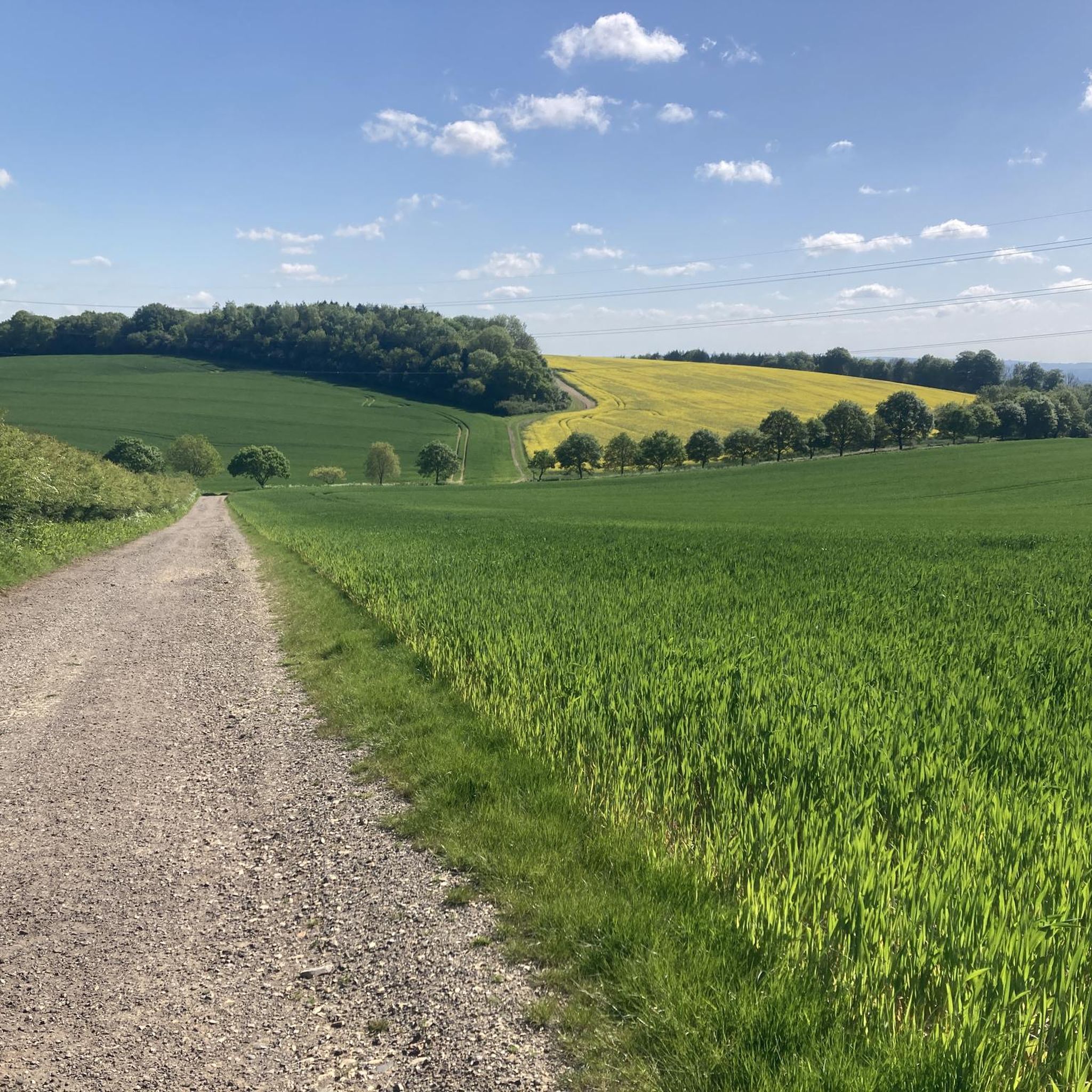
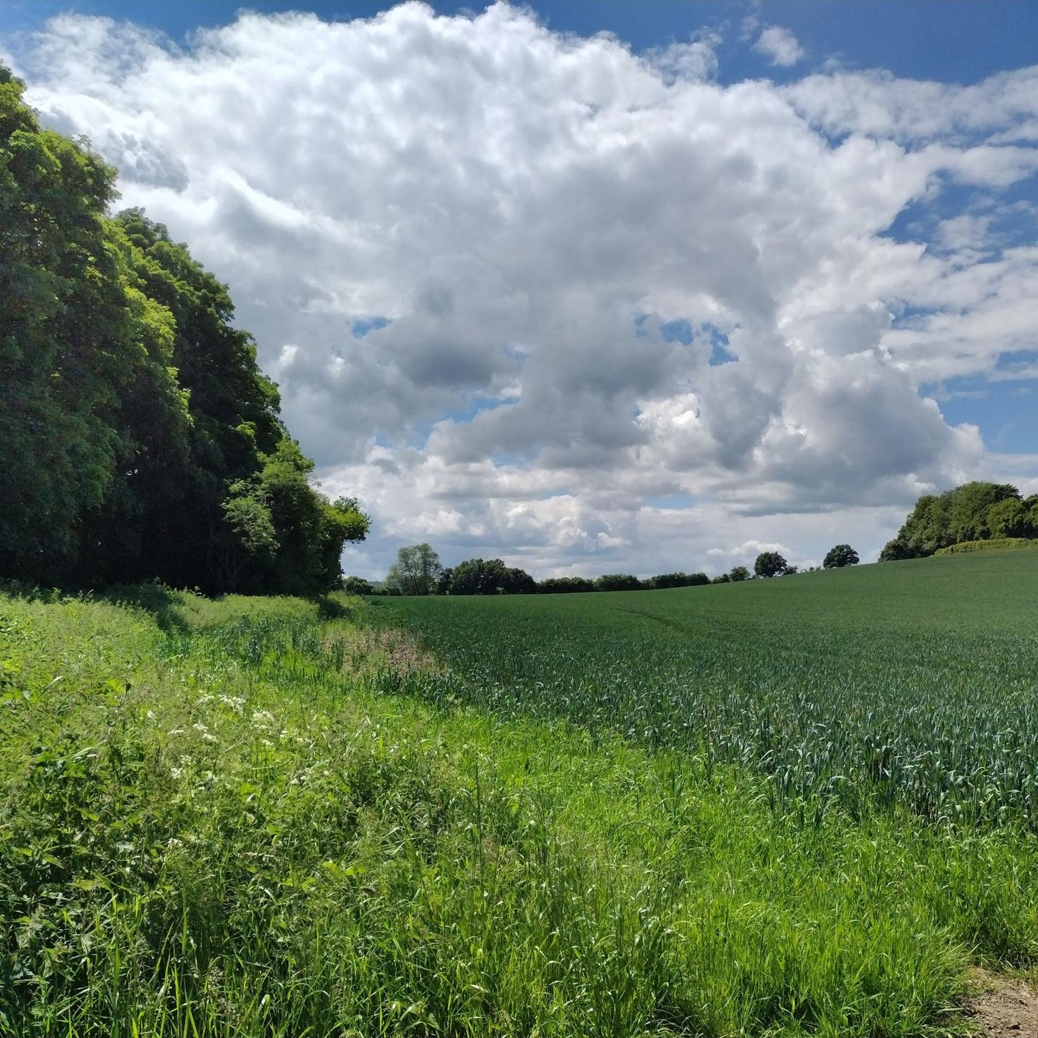
Hikes around Froxfield and Privett explore the rural heart of East Hampshire, set within the South Downs National Park. The region is characterized by rolling chalk hills, ancient woodlands, and open meadows. The landscape features gentle climbs to viewpoints like Shoulder of Mutton Hill, which provide panoramic views over the patchwork of fields and forests.
Best hiking trails around Froxfield And Privett
- The most popular hiking route is Shoulder of Mutton viewpoint loop from Trooper Inn — South Downs National Park, a 7.1 mile (11.5 km) trail that takes around 3 hours 20 minutes to complete. This moderate route offers rewarding views from the Shoulder of Mutton viewpoint.
- Another top favourite among local hiking enthusiasts is Wheatham Hill Trig Point – The Pub With No Name loop from Colemore and Priors Dean, a moderate 6.1 mile (9.8 km) path. The trail leads to the Wheatham Hill Trig Point and passes near the well-known local pub.
- Local hiking enthusiasts also love the Shoulder of Mutton Viewpoint – Mill Lane Waterfall loop from Steep, a 4.6 mile (7.4 km) trail leading through the South Downs National Park, often completed in about 2 hours 5 minutes.
- Hiking around Froxfield and Privett is defined by rolling chalk grasslands, quiet country lanes, and sections of ancient woodland. The network of paths provides a variety of routes suitable for different fitness and experience levels.
- The routes in Froxfield And Privett are highly rated by the komoot community with an average score of 4.6 stars from over 1,400 reviews. More than 11,000 hikers have used komoot to explore Froxfield And Privett's varied terrain.
Last updated: August 17, 2026
4.6
(5)
40
hikers
11.5km
03:21
280m
280m
Hike the moderate 7.1-mile Hangers Way and Hawkley Loop in South Downs National Park, offering wooded hills and panoramic views.
4.9
(14)
59
hikers
7.36km
02:07
180m
180m
Moderate hike. Good fitness required. Easily-accessible paths. Suitable for all skill levels.

Sign up for free
4.3
(7)
54
hikers
8.61km
02:29
190m
190m
Moderate hike. Good fitness required. Easily-accessible paths. Suitable for all skill levels.
4.5
(2)
28
hikers
Moderate hike. Good fitness required. Easily-accessible paths. Suitable for all skill levels.
4.9
(8)
35
hikers
11.9km
03:16
200m
200m
Moderate hike. Good fitness required. Easily-accessible paths. Suitable for all skill levels.
Get access to more routes and recommendations from other explorers.
Sign up for free
Already have an account?
Our route recommendations are based on thousands of hikes, rides, and runs completed by other people on komoot.
Start today with a free account
Your next adventure awaits.
Login or Signup
Tips from the Community


A bench and the viewpoint perfect for looking out onto the downs and watching the world go by
0
0
A beautiful open field that links up sections of the Hangers and Harley nicely.
0
0

Starts at The Dell Cafe, please note start of route is on private land and only operate for summer months. You must either be staying at campsite or customer of the Dell. Link: https://thedellhampshire.co.uk
0
0
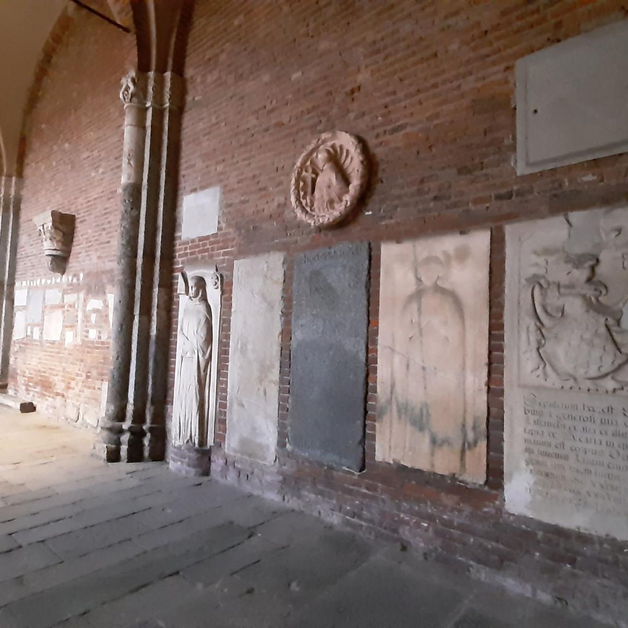
The Font inside the church is 1000 years old made of black marble.
0
0

The photos don’t really do it justice. It’s a nice view.
0
0
Has a couple of covered benches by the entrance which could be a good place to shelter in rain / for lunch
0
0

This is just a little waterfall but worth going to have a look at. It is quite amazing that the waterfall is located in a lane that is right in the middle of a residential area. It is however close to a good walking route.
1
0
Frequently Asked Questions
Are the hiking trails around Froxfield and Privett suitable for dogs?
Yes, the area is generally dog-friendly, with many trails passing through open countryside and woodlands. However, you'll likely encounter livestock, so it's essential to keep your dog on a lead in these areas. Also, be mindful of ground-nesting birds, especially in nature reserves. Pubs along the routes, like The Trooper Inn and The Pub With No Name, are often welcoming to dogs.
What are some good circular walks in the area?
Most trails in this region are designed as loops, starting and ending in the same place. This makes logistics easy, as you can return to your car or starting point without needing to backtrack. A great example of a moderate circular route is the Wheatham Hill Trig Point – The Pub With No Name loop from Colemore and Priors Dean, which combines scenic views with a stop near a classic country pub.
Are there any easy, family-friendly hikes near Froxfield and Privett?
Absolutely. While the region has some challenging hills, there are plenty of gentler options perfect for families. The Shoulder of Mutton Viewpoint – Mill Lane Waterfall loop from Steep is a popular choice. At under 5 miles, it's manageable for most abilities and includes the fun feature of a small waterfall.
Where can I find good pub walks?
The area is excellent for pub walks, with several routes starting or finishing near well-regarded country inns. For a classic experience, you can base your hike around The Trooper Inn or The Pub With No Name (also known as The White Horse). The Shoulder of Mutton viewpoint loop from Trooper Inn is a fantastic option that combines a rewarding hike with a convenient pub stop.
What's the parking situation for the main trailheads?
Parking is typically available in small, informal lay-bys or dedicated car parks near popular trailheads and villages. For routes starting near pubs like The Trooper Inn, patrons can usually park there. For nature reserves like Old Winchester Hill, there's often a car park where a donation is requested. It's always a good idea to arrive early on weekends, as spaces can fill up quickly.
Are there any waterfalls on the trails?
Yes, the Mill Lane Waterfall is a charming feature you can visit. It's a small but picturesque waterfall that adds a nice point of interest to a walk. You can see it on the Mill Lane Waterfall – Shoulder of Mutton Viewpoint loop from Steep, which is a moderate hike through the lovely Hampshire countryside.
What are the best viewpoints for panoramic scenery?
The rolling chalk hills of the South Downs provide several excellent viewpoints. Shoulder of Mutton Hill is one of the most well-known, offering expansive views across the landscape. Wheatham Hill is another great spot, marked by a trig point. For a truly commanding vista, a short drive to Butser Hill, the highest point in the South Downs, is highly recommended.
Are there any long-distance footpaths that pass through the area?
Yes, the Hangers Way, a 21-mile long-distance path, runs through this part of Hampshire. It's known for its steep-sided wooded hills called 'The Hangers'. You can walk sections of it as part of a shorter circular route or tackle a longer point-to-point hike. The trail showcases some of the best scenery the region has to offer, including parts of Ashford Hangers National Nature Reserve.
What historical points of interest can I see while hiking?
The region is rich in history. Keep an eye out for the spire of the Church of the Holy Trinity in Privett, a key landmark visible for miles. You can also find traces of a redundant railway line and historic farm buildings. The All Saints' Church, East Meon – East Meon Stone Bridge loop from Stroud is a great walk for seeing historic architecture, including a beautiful old church and stone bridge.
How many hiking trails are available around Froxfield and Privett?
There are over 500 hiking routes to explore in and around Froxfield and Privett. The trails range from short, easy rambles of under 4 miles to more strenuous all-day treks, ensuring there's a suitable option for every fitness level and experience.
What do other hikers say about the trails in this region?
The trails around Froxfield and Privett are highly regarded by the komoot community, with an average rating of 4.6 stars. Hikers often praise the stunning panoramic views from the hilltops, the tranquility of the ancient woodlands, and the classic English countryside scenery.
Most popular routes around Froxfield And Privett
Most popular attractions around Froxfield And Privett

Get inspired with the komoot mobile app


Explore more
Browse the best Hikes in other regions.
