The best walks and hikes around Sheet
4.6
(1049)
7,629
hikers
397
hikes
Hiking around Sheet is characterized by the rolling landscape of the South Downs National Park. The area features "Hangers," which are steep, wooded hills providing varied terrain. Many trails follow the River Rother, passing through woodlands and open meadows. The network of trails offers options for different ability levels, from gentle riverside strolls to more challenging hill walks.
Best hiking trails around Sheet
- The most popular hiking route is Hangers Way, a 7.9 miles (12.7 km) trail that takes…
Last updated: August 27, 2026
4.9
(29)
100
hikers
12.7km
03:30
200m
200m
Embark on the Hangers Way, a moderate hiking route that spans 7.9 miles (12.7 km) and features an elevation gain of 669 feet (204 metres). This journey through the East…
4.9
(8)
39
hikers
6.12km
01:51
180m
180m
Easy hike. Great for any fitness level. Easily-accessible paths. Suitable for all skill levels.

Sign up for free
42
hikers
2.31km
00:35
10m
10m
Easy hike. Great for any fitness level. Easily-accessible paths. Suitable for all skill levels.
4.2
(5)
22
hikers
7.08km
01:49
30m
30m
Easy hike. Great for any fitness level. Easily-accessible paths. Suitable for all skill levels.
4.7
(3)
13
hikers
24.2km
06:45
420m
420m
Hard hike. Very good fitness required. Easily-accessible paths. Suitable for all skill levels.
Get access to more routes and recommendations from other explorers.
Sign up for free
Already have an account?
Our route recommendations are based on thousands of hikes, rides, and runs completed by other people on komoot.
Start today with a free account
Your next adventure awaits.
Login or Signup

Tips from the Community

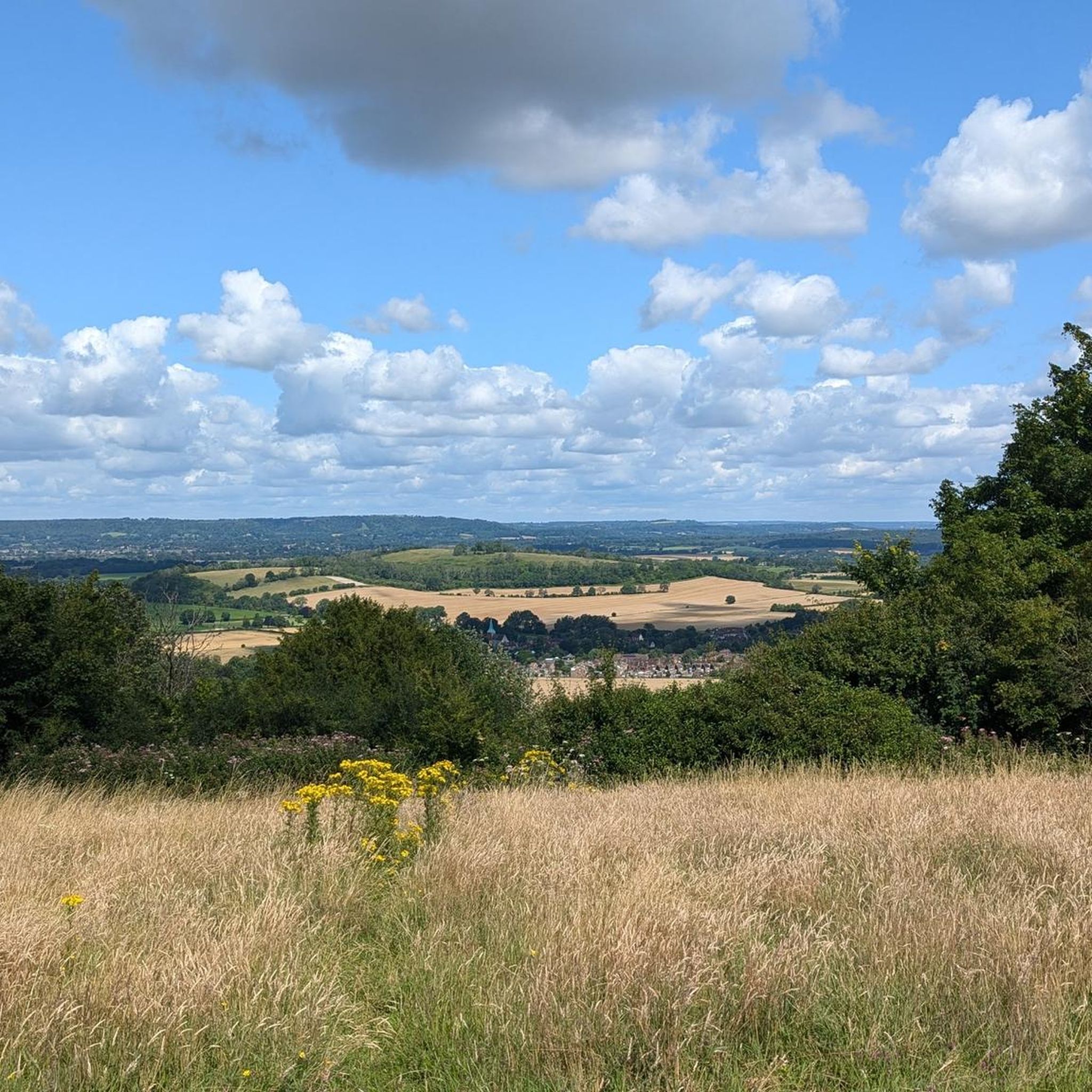
A bench and the viewpoint perfect for looking out onto the downs and watching the world go by
0
0


There's currently a lot of activity at Woolmer & Longmoor April 25. Best to check on Gov website before venturing out
0
0

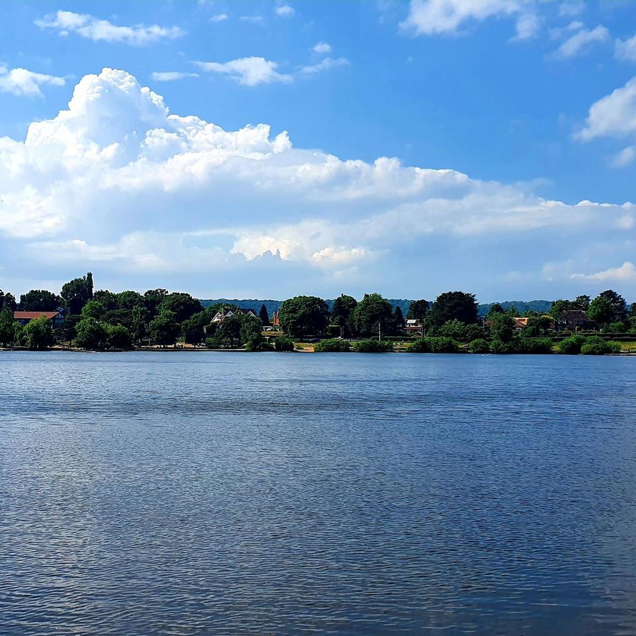
open space with trails and play areas
0
0

The photos don’t really do it justice. It’s a nice view.
0
0
Has a couple of covered benches by the entrance which could be a good place to shelter in rain / for lunch
0
0

This is just a little waterfall but worth going to have a look at. It is quite amazing that the waterfall is located in a lane that is right in the middle of a residential area. It is however close to a good walking route.
1
0

The church in Hawkley was dedicated to the two Saints PETER & PAUL, also known as the "Princes of the Apostles". Their common feast day in the calendar of saints is June 29th for all major denominations. * Simon, nicknamed Peter (Rock), was a fisherman on Lake Genesareth when he was called by Jesus Christ to be a "fisher of men" together with his brother Andrew. In works of fine art, Peter is almost always depicted with two keys in his hand; this attribute refers to the Bible verse in Matthew: "I will give you the keys of the kingdom of heaven; whatever you bind on earth will be bound in heaven, and whatever you loose on earth will be loosed in heaven." (Chapter 16, Verse 19). * Paul was initially an opponent of the Christian movement and was not called to the apostleship by Jesus Christ during his lifetime like the other apostles, but was only converted later with the famous "Damascus experience". His attribute is the sword with which he was executed. According to the Roman law of the time, such a sentence was a "privilege" (quick death and not, like other forms of execution, a long, painful death struggle) that was reserved for the citizens of Rome.
0
0
Frequently Asked Questions
What is the hiking terrain like around Sheet?
The landscape is defined by the South Downs National Park's rolling countryside. A key feature is the 'Hangers' — a series of steep, wooded hills that offer some challenging climbs and rewarding views. You'll also find many gentler paths that meander alongside the River Rother, passing through a mix of woodlands and open meadows.
Are there many hiking trails to choose from in this area?
Yes, there's a wide variety. You can explore nearly 400 different hiking routes around Sheet. The trails are almost evenly split between easy and moderate difficulty, with a smaller selection of challenging routes for those seeking a tougher workout.
Are there any circular walks available?
Absolutely. Many of the trails in the area are designed as loops, so you can start and end in the same place without retracing your steps. A good example is the Ancient Tree in Cornfield – Serpent Trail Signposted Route loop from Sheet, which is a relatively short and easy walk.
Can I find any walks with waterfalls near Sheet?
Yes, you can. The area around the nearby village of Steep features some lovely water features. The Mill Lane Waterfall – Shoulder of Mutton Viewpoint loop from Steep is a popular easy walk that leads you directly to a waterfall and also offers a scenic viewpoint.
Are the trails around Sheet suitable for families with children?
Yes, there are many family-friendly options. With over 190 easy-rated trails, you can find plenty of shorter, flatter walks suitable for all ages. Paths along the River Rother or through Petersfield Heath are particularly good choices for a relaxed family outing.
Can I bring my dog on the trails?
Most trails in the countryside around Sheet are great for walking with dogs. However, you'll be passing through farmland and nature reserves, so be prepared to keep your dog on a lead, especially where livestock is present or during bird nesting season (typically March to July).
What do other hikers think of the routes around Sheet?
The area is highly regarded by the komoot community, with over 7,000 hikers exploring the trails. The routes have earned an average rating of 4.6 out of 5 stars from over 900 reviews. Hikers often praise the beautiful 'Hanger' landscapes and the variety of well-marked paths.
Are there any long-distance footpaths that pass near Sheet?
Yes, the most prominent long-distance trail is the Hangers Way. This 21-mile (34 km) footpath showcases the best of the region's steep, wooded 'Hanger' landscapes. You can walk sections of it as part of a day hike starting from the Sheet area.
Where can I find a good view on a hike?
For some of the best panoramic views, you'll want to tackle the climbs up the 'Hangers'. Routes that ascend hills like the Shoulder of Mutton near Steep are specifically known for their rewarding viewpoints over the surrounding South Downs.
Is it possible to get to the trailheads using public transport?
Yes, the nearby town of Petersfield has a mainline train station, making it a convenient hub. From Petersfield, you can access the start of many trails, including The Hangers loop from Petersfield, on foot or via local bus services that connect to surrounding villages like Sheet and Steep.
Where can I park for a walk starting in Sheet?
While Sheet itself is a small village with limited dedicated parking, you can often find on-street parking. For more reliable options, consider starting your walk from the nearby town of Petersfield, which has several public car parks. Many trailheads for popular loops have small, informal parking areas nearby, but these can fill up quickly on weekends.
Are there any pubs on the walking routes?
Yes, several routes pass by traditional country pubs, which are perfect for a mid-hike break or a post-walk meal. For example, The Harrow Inn in Steep is a well-known pub located directly on several popular walking loops in the Hangers.
Most popular attractions around Sheet

Get inspired with the komoot mobile app


Explore more
Browse the best Hikes in other regions.
