The best mountain hikes around Ober-Grafendorf
8
hikers
3
hikes
Mountaineering routes around Ober-Grafendorf are situated in the picturesque Sankt Pölten region of Lower Austria, at the foot of the Alpine foothills. The area is characterized by rolling hills, diverse forests, and scenic valleys such as the Traisen, Gölsen, and Pielach. This geographical setting provides a varied landscape for outdoor activities, ranging from gentle ascents to more sustained climbs. The region offers views extending towards St. Pölten, the Danube, and the Waldviertel.
Best mountaineering routes around Ober-Grafendorf
- The most popular…
Last updated: July 5, 2026
4
hikers
14.0km
04:29
520m
520m
Moderate mountaineering route. Good fitness required. Mostly accessible paths. Sure-footedness required.
2
hikers
6.93km
02:15
290m
290m
Moderate mountaineering route. Good fitness required. Easily-accessible paths. Suitable for all skill levels.

Sign up for free
2
hikers
16.3km
04:43
390m
390m
Moderate mountaineering route. Good fitness required. Easily-accessible paths. Suitable for all skill levels.
Our route recommendations are based on thousands of hikes, rides, and runs completed by other people on komoot.
Start today with a free account
Your next adventure awaits.
Login or Signup
Tips from the Community

Through the commitment of the ruins committee of the village renewal association and generous donations, the ruin was saved from decay. In 1989, a committee was formed to save the Rabenstein ruin, which has since been working on the preservation and securing of this cultural heritage.
0
0

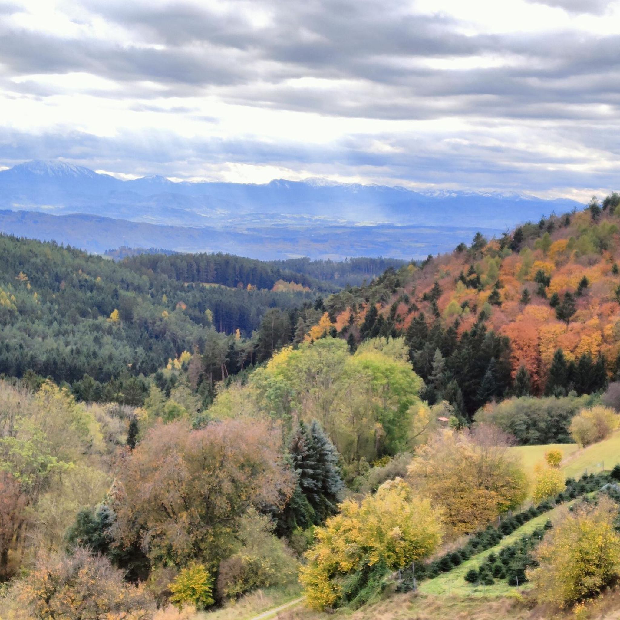
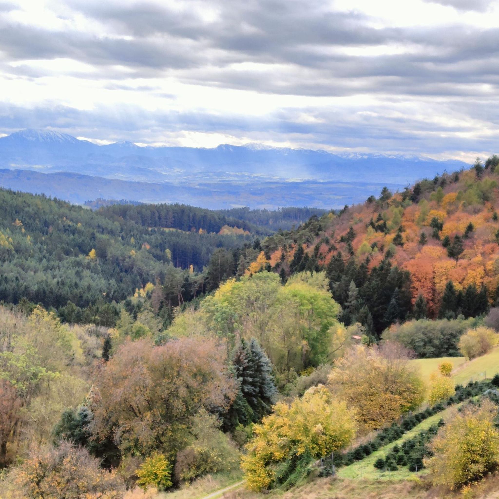
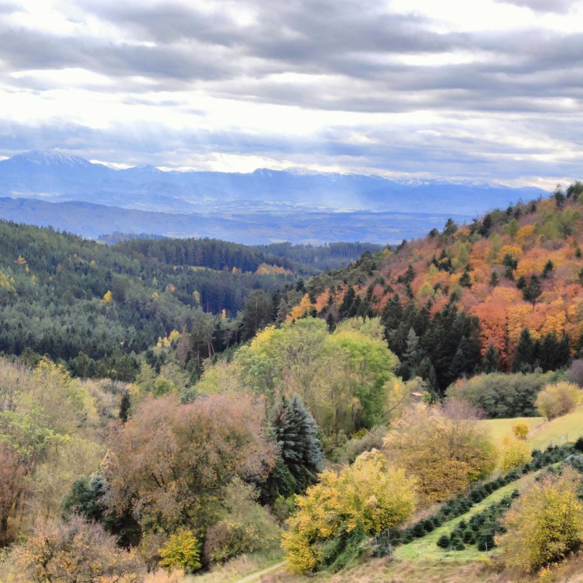
Very good view over the valley in good weather.
0
0
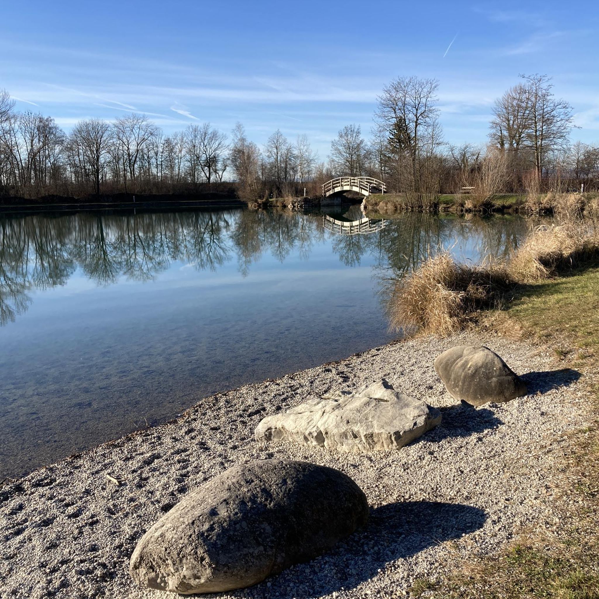
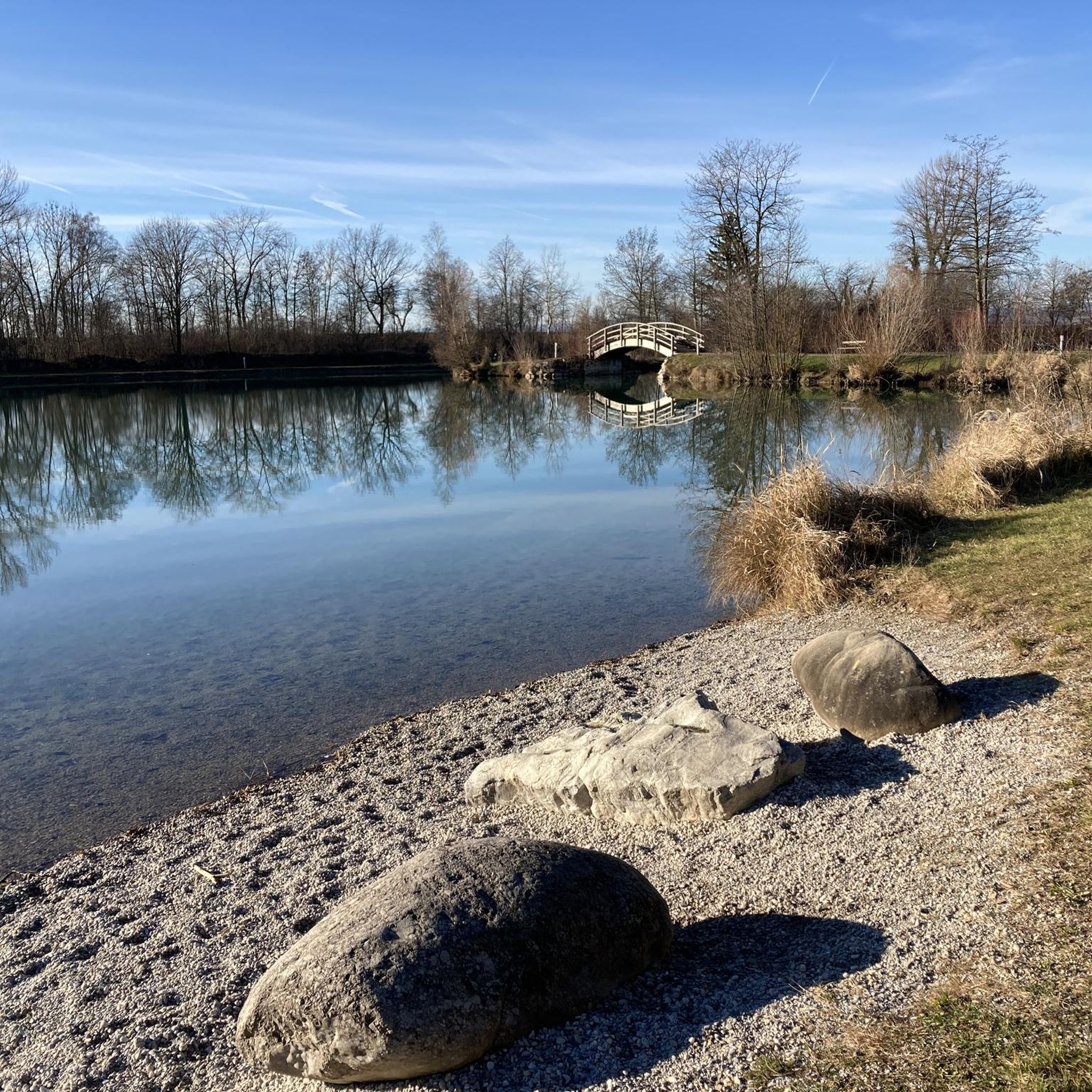
next to a beautiful wooden footbridge over the Pielach river
0
0

Wonderfully beautiful place
1
0

The highest point of the Kaiserkogel MTB trail. Here, you can complete the climb under the watchful eye of cows. It's a beautiful spot, no doubt.
3
0

From the narrow bridge you have a great view of the small weir in the Pielach and the natural bathing area.
2
0

Great new trail, challenging but an enrichment for the sport in this area
1
0
Frequently Asked Questions
How many mountaineering routes are available around Ober-Grafendorf?
There are 3 dedicated mountaineering routes around Ober-Grafendorf featured in this guide. These routes offer a range of experiences within the region's rolling hills and scenic valleys.
What kind of terrain can I expect on mountaineering routes near Ober-Grafendorf?
The mountaineering routes around Ober-Grafendorf are characterized by rolling hills, diverse forests, and scenic valleys such as the Traisen, Gölsen, and Pielach. You can expect varied ascents and descents, providing an engaging experience at the foot of the Alpine foothills.
Are there any family-friendly mountaineering options in the Ober-Grafendorf area?
While all routes in this guide are rated as moderate, many families with some hiking experience enjoy the trails. For example, the Summit bench loop from Eschenau is a shorter option at 6.9 km, offering varied terrain and panoramic views that can be rewarding for active families. The region's diverse landscapes also offer plenty of opportunities for shorter, less strenuous walks outside of these specific mountaineering routes.
Are there any circular mountaineering routes available?
Yes, all the mountaineering routes highlighted in this guide are circular. You can enjoy the Josef Franz Hütte loop from Rabenstein, the Summit bench loop from Eschenau, and the Ochsenburger Hütte loop from Kreisbach, all designed as loops for convenient exploration.
What are some notable landmarks or points of interest along these routes?
Several routes offer access to interesting landmarks. The Josef Franz Hütte loop from Rabenstein passes by the historic Rabenstein Castle Ruins, offering magnificent views. The Ochsenburger Hütte loop from Kreisbach leads past the popular Ochsenburger Hut, known for its refreshments. Additionally, the Kaiserkogel, with its hut, is another prominent feature in the wider area, promising great views.
Are there mountain huts or places to get refreshments along the trails?
Yes, some routes feature mountain huts where you can stop for refreshments. The Josef Franz Hütte loop from Rabenstein includes a mountain hut, and the Ochsenburger Hütte loop from Kreisbach passes the well-known Ochsenburger Hut, which is noted for its warm curd cheese and apple strudel.
What is the best time of year for mountaineering in Ober-Grafendorf?
The region is generally pleasant for mountaineering from spring through autumn. The rolling hills and forested areas provide good conditions for hiking. While specific high-alpine conditions are not typical here, checking local weather forecasts is always recommended, especially during shoulder seasons.
What do other mountaineers enjoy most about the routes in Ober-Grafendorf?
Komoot users frequently praise the varied terrain and scenic views offered by the routes around Ober-Grafendorf. The combination of rolling hills, diverse forests, and charming mountain huts like the Ochsenburger Hut are often highlighted as key attractions.
Are there options for parking near the trailheads?
Parking is generally available near the starting points of these routes. For instance, the Josef Franz Hütte loop starts from Rabenstein, and the Ochsenburger Hütte loop begins from Kreisbach, both of which are accessible by car with parking options in the vicinity. It's always advisable to check local signage for specific parking regulations.
Can I reach the mountaineering routes using public transport?
Ober-Grafendorf is connected by public transport, and some starting points for routes, such as Rabenstein and Eschenau, may be accessible via local bus services. However, direct access to all trailheads might require some walking from the nearest public transport stops. We recommend checking regional bus schedules for the most up-to-date information on connections to specific villages.
What is the typical duration and distance of these mountaineering routes?
The routes vary in length and duration. The Josef Franz Hütte loop from Rabenstein is approximately 12.9 km and takes about 4 hours 10 minutes. The Summit bench loop from Eschenau is shorter at 6.9 km, typically completed in around 2 hours 15 minutes. The longest, the Ochsenburger Hütte loop from Kreisbach, is 16.3 km and takes about 4 hours 42 minutes.
Are there any other outdoor activities or attractions nearby for a full day out?
Beyond mountaineering, the region offers other outdoor activities. For a different kind of adventure, the Dschungelparcours at Ebersdorfer See provides a high ropes course and 'Flying Foxes' over the lake, combining climbing and swimming. You can find more information about this at lower-austria.info.
Most popular routes around Ober-Grafendorf
Most popular attractions around Ober-Grafendorf

Get inspired with the komoot mobile app


Explore more
Browse the best Mountain Hikes & Routes in other regions.
