The best walks and hikes around Woolfardisworthy
4.6
(74)
270
hikers
46
hikes
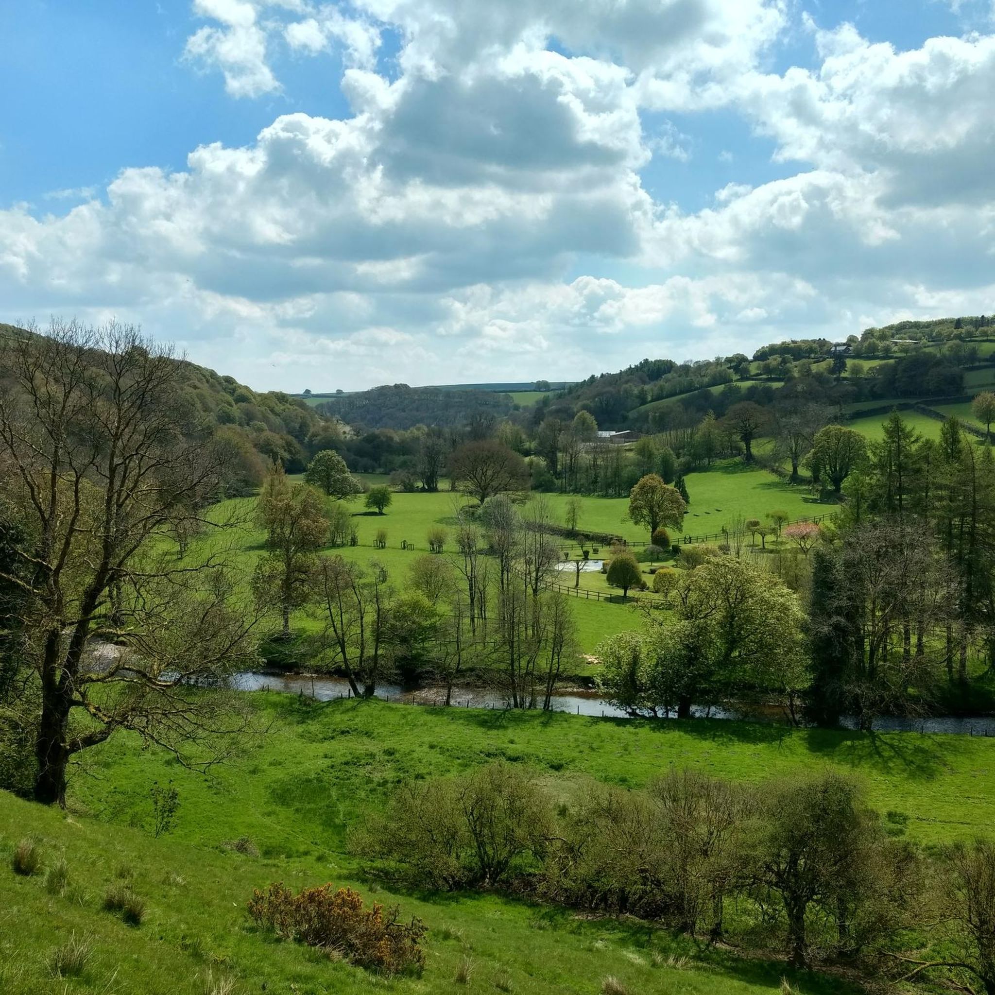
Hiking around Woolfardisworthy offers a diverse landscape characterized by rugged coastlines, dramatic cliffs, and secluded coves. Inland, the region features rolling hills, dense woodlands, and areas of moorland, providing varied environments for exploration. The River Torridge forms a natural border to the south, adding to the scenic beauty. This area provides an elemental escape with trails ranging from coastal paths to peaceful woodland walks.
Best hiking trails around Woolfardisworthy
- The most popular hiking route is St Mary's Church loop from…
Last updated: June 26, 2026
4.0
(2)
8
hikers
10.1km
02:47
190m
180m
Moderate hike. Good fitness required. Easily-accessible paths. Suitable for all skill levels.
4.3
(3)
4
hikers
12.2km
03:18
170m
170m
Moderate hike. Good fitness required. Easily-accessible paths. Suitable for all skill levels.

Sign up for free
4
hikers
7.25km
02:00
130m
130m
Moderate hike. Good fitness required. Easily-accessible paths. Suitable for all skill levels.
5.0
(1)
3
hikers
8.73km
02:26
170m
170m
Moderate hike. Good fitness required. Easily-accessible paths. Suitable for all skill levels.
3
hikers
7.58km
02:02
90m
90m
Moderate hike. Good fitness required. Easily-accessible paths. Suitable for all skill levels.
Get access to more routes and recommendations from other explorers.
Sign up for free
Already have an account?
Our route recommendations are based on thousands of hikes, rides, and runs completed by other people on komoot.
Start today with a free account
Your next adventure awaits.
Login or Signup
Popular around Woolfardisworthy

Tips from the Community

Scooped some water out, filtered it and a made a coffee.
3
0

This proud, medieval church stands on the edge of Shobrooke village and, like so many churches in the area, has wonderful views over the rolling, pastoral landscape. The church dates back to the 15th century but the interior is considerably younger, mostly Victorian. If you hike up the lane opposite towards the village centre, you'll find the holy well embedded into a grassy bank on the eastern side.
3
0
A 180-acre (73 ha) park, wandering around the grounds is utter bliss. A deer park has been here for hundreds of years and there was also manor house, built in the 18th century. Whilst the house functioned as a school during the Second World War, it sadly burnt down in 1945 and was never rebuilt. Now, the park is sometimes open to the public, with its grand lakes and sweeping vistas. The Devonshire Heartland Way traverses the southern section all year round.
2
0
This immensely impressive church dominates Crediton and is an icon of the town. The church dates back over 1,000 years although much of what you see was added in later centuries. Its official name is the Collegiate Church of the Holy Cross and the Mother of Him Who Hung Thereon.
2
0

St Mary’s has a history that stretches back to the Middle Ages. That said, the church you see today was significantly rebuilt in the 15th and 16th centuries. One of the most interesting features inside the church is the late-medieval screen, which is carved and painted exquisitely. St Mary’s is Grade I-listed.
0
0
Frequently Asked Questions
How many hiking trails are available around Woolfardisworthy?
There are over 50 hiking trails around Woolfardisworthy. These routes explore the diverse landscape, from rugged coastlines to shaded woodlands and rolling inland hills.
What are the difficulty levels of hikes in Woolfardisworthy?
Woolfardisworthy offers a range of hiking difficulties. You'll find over 30 easy routes, perfect for a leisurely stroll, and 16 moderate trails for those seeking a bit more challenge. There are no difficult routes listed, making the area accessible for most hikers.
Are there any circular walks in the Woolfardisworthy area?
Yes, many of the trails around Woolfardisworthy are circular, offering convenient starting and ending points. For example, the St Mary's Church loop from Copplestone is a popular moderate 6.2-mile (10.1 km) circular route through the local countryside.
What kind of landscapes can I expect to see on a hike near Woolfardisworthy?
Hiking around Woolfardisworthy offers a diverse landscape. You can expect to see rugged coastlines with dramatic cliffs and secluded coves, extensive sections of the South West Coast Path, shaded woodlands, and rolling inland hills. The River Torridge also adds to the scenic beauty, and some areas feature moorland.
Are there any family-friendly walks suitable for children?
Yes, Woolfardisworthy has numerous easy trails suitable for families. The region's shaded woodlands and gentle inland paths provide pleasant environments for shorter, less strenuous walks. While specific family-friendly routes aren't detailed here, the abundance of easy trails ensures options for all ages.
What are some notable natural attractions or landmarks to see while hiking?
While hiking around Woolfardisworthy, you can discover several interesting landmarks. Consider visiting St Swithun's Church and Holy Well, or explore the serene Shobrooke Park Lake and Stone Bridge. The wider region is also known for impressive natural features like Blackchurch Rock and Spekes Mill Mouth Waterfall, which are worth exploring.
What do other hikers enjoy most about the trails in Woolfardisworthy?
The trails in Woolfardisworthy are highly rated by the komoot community, with an average score of 4.5 stars from over 60 reviews. Hikers often praise the varied terrain, from coastal paths to peaceful woodland walks, and the elemental escape offered by the dramatic and sweeping stretches of coastline.
Are there any specific routes that offer varied scenery?
For varied scenery, consider the Hiking loop from Upton Hellions. This moderate 7.6-mile (12.2 km) path provides diverse views through rolling hills and rural landscapes, showcasing the inland beauty of the area.
Are there any shorter, easier routes for a quick walk?
Yes, for a shorter and easier walk, the St Mary's Church loop from Morchard Bishop is an excellent choice. This easy 3.5-mile (5.65 km) route can typically be completed in under an hour and a half, offering a pleasant stroll through the countryside.
What is the best time of year to go hiking in Woolfardisworthy?
Woolfardisworthy is beautiful year-round, but the coastal paths are particularly vibrant with wildflowers in spring and summer. After rain, natural features like Spekes Mill Mouth Waterfall are especially striking. The shaded woodlands offer respite in warmer months, while inland trails provide good views during autumn and winter.
Are there any trails that pass by historical sites or interesting buildings?
Yes, some routes will take you past historical sites. For instance, the St Mary's Church loop from Morchard Bishop leads through local countryside where you might encounter historical churches or other points of interest. The wider area also features sites like the Collegiate Church of the Holy Cross in Crediton.
Most popular routes around Woolfardisworthy
Most popular attractions around Woolfardisworthy

Get inspired with the komoot mobile app


Explore more
Browse the best Hikes in other regions.
