The best running trails around Raach am Hochgebirge
4.5
(75)
1,869
runners
128
runs
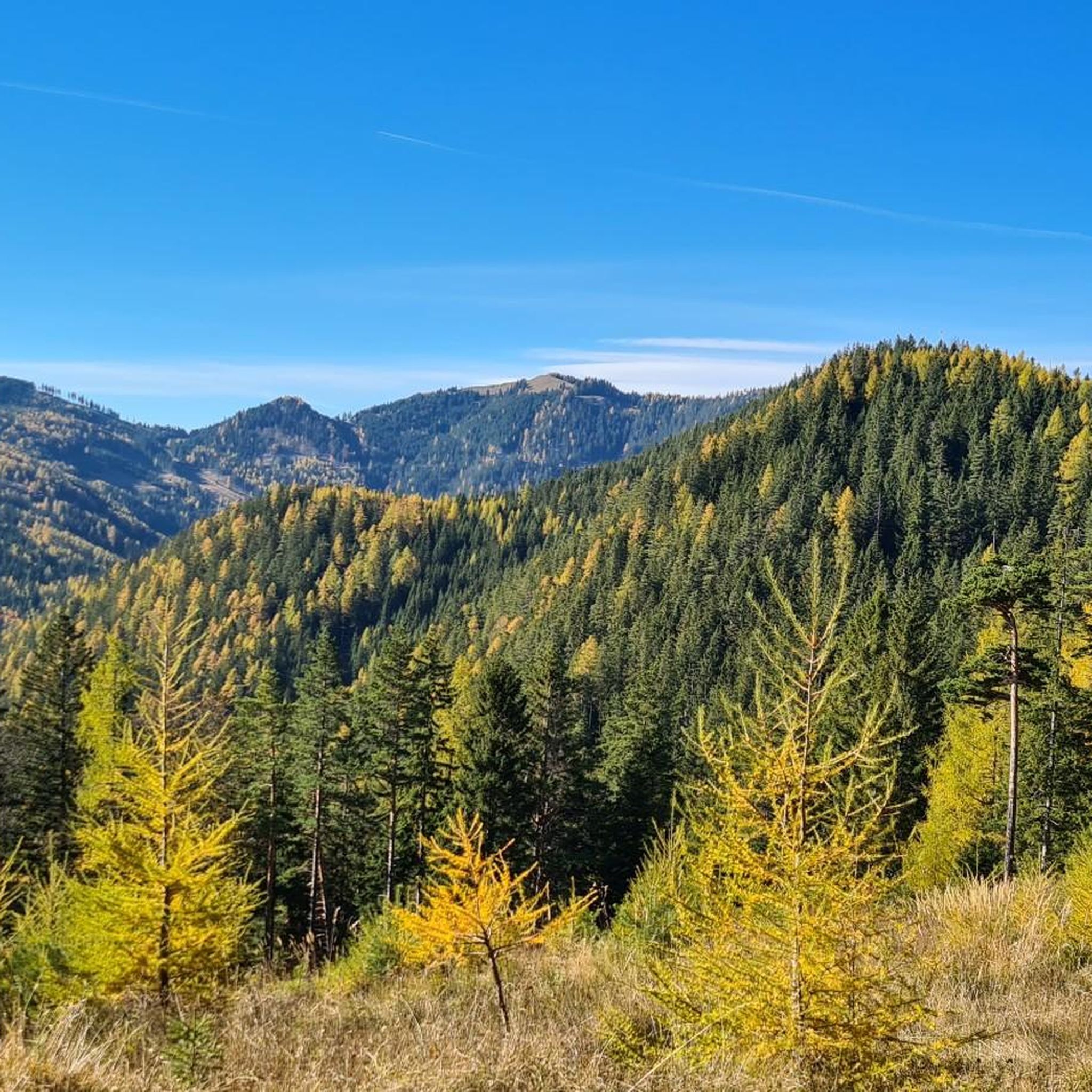
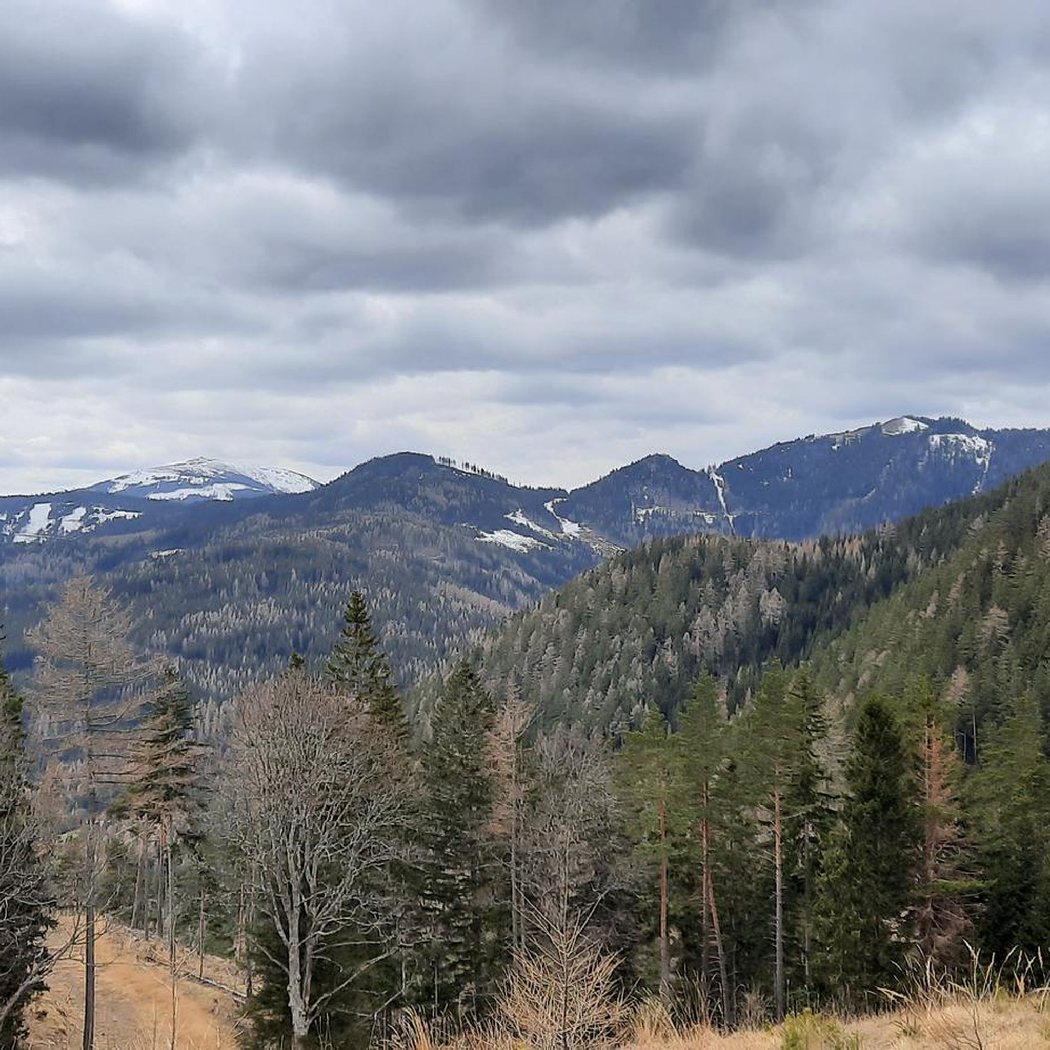
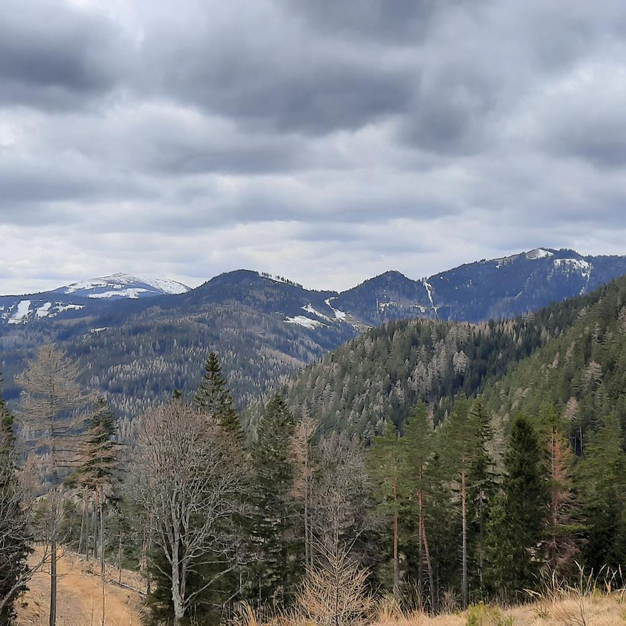
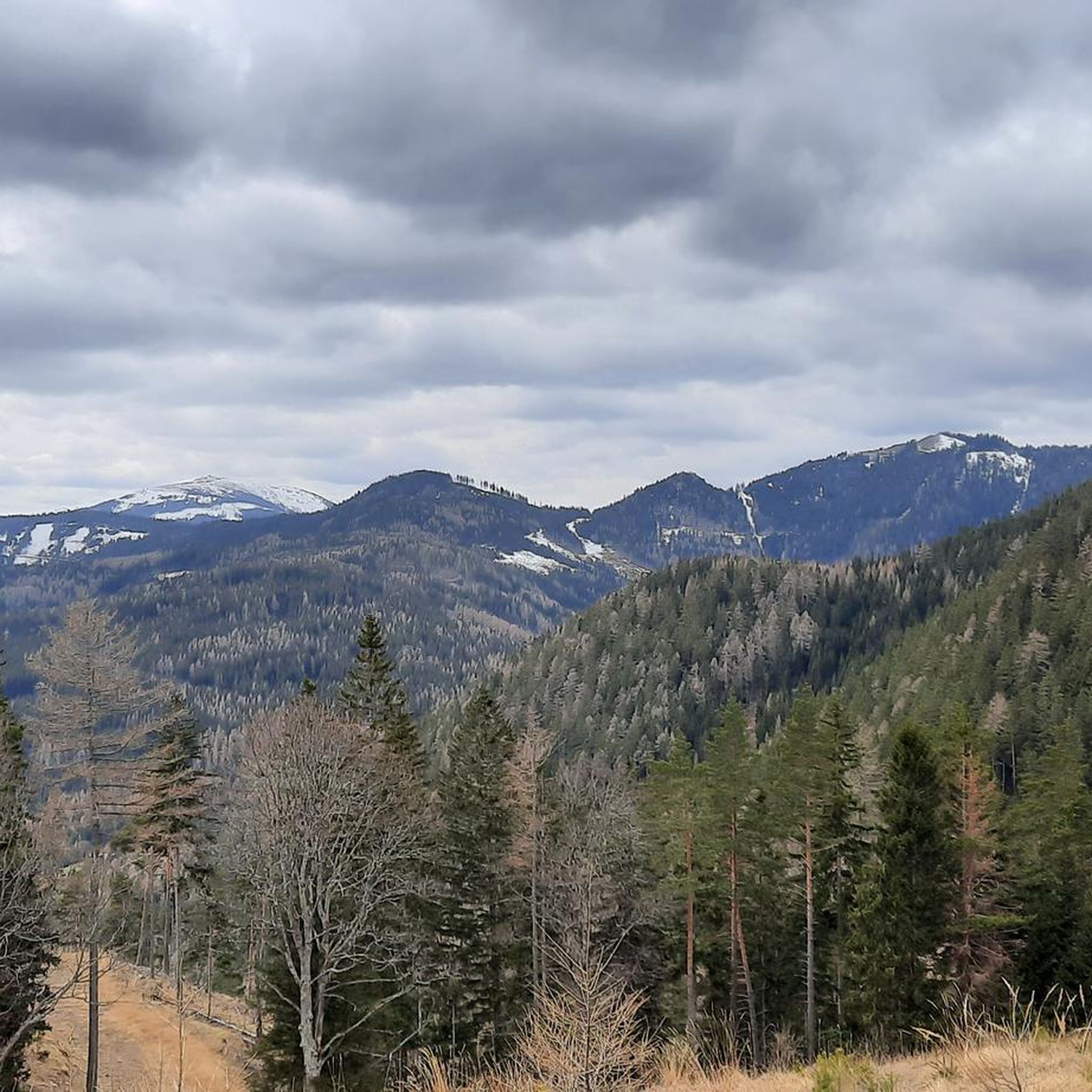
Jogging routes around Raach am Hochgebirge traverse a landscape characterized by rolling hills, dense woodlands, and open valleys. The region offers a mix of terrain, from gentle riverside paths to more challenging ascents through forested areas. Runners can expect varied elevations, providing both leisurely runs and opportunities for more strenuous training. The area's natural features make it suitable for exploring on foot, with many trails winding through scenic environments.
Best jogging routes around Raach am Hochgebirge
- The most popular jogging…
Last updated: October 5, 2026
4.5
(4)
49
runners
7.26km
00:48
30m
30m
Moderate run. Good fitness required. Mostly paved surfaces. Suitable for all skill levels.
5.0
(3)
52
runners
7.42km
00:54
230m
240m
Moderate run. Good fitness required. Mostly paved surfaces. Suitable for all skill levels.

48
runners
20.5km
02:07
60m
60m
Hard run. Very good fitness required. Mostly paved surfaces. Suitable for all skill levels.
3.0
(1)
53
runners
11.8km
01:15
90m
90m
Moderate run. Good fitness required. Mostly paved surfaces. Suitable for all skill levels.
3.0
(1)
31
runners
7.81km
00:50
50m
50m
Moderate run. Good fitness required. Mostly paved surfaces. Suitable for all skill levels.
Get access to more routes and recommendations from other explorers.
Already have an account?
Our route recommendations are based on thousands of hikes, rides, and runs completed by other people on komoot.
Start today with a free account
Your next adventure awaits.
Tips from the Community

Very good, hearty, regional cuisine with extremely friendly staff. The inn is traditionally furnished, which gives it a characteristic charm. The Kummerbauerstadl is one of the few still operating inns in the region that you can visit with a clear conscience.
1
0

Very annoying and angular curve, I don't understand why the apex was made so sharp.
0
0

Perfect for cycling, and also for grabbing a bite to eat :-)
0
0

The Kummerbauerstadl Alpine Inn is idyllically situated at approximately 1,100 meters above sea level on the edge of the forest between Semmering and Sonnwendstein, and is a popular stopover for hikers. The sunny terrace offers magnificent views of the Rax and Schneeberg mountains, while the inn itself offers traditional home-style cooking and a cozy atmosphere. A perfect place to recharge your batteries and enjoy the view.
6
0
The Homecoming Cross on the Göstritz Saddle serves as a silent memorial to the region's fallen soldiers—symbolically yet majestically erected on the pass between Semmering and Maria Schutz. Surrounded by open meadows and rustling forest, the spot offers a moment of reflection and remembrance. This vantage point marks a quiet zone during a day's hiking, ideal for a quiet, contemplative break.
5
0
Here someone had some fun, marked the way to Rome in both directions and erected a menhir with the inscription Lower Gaul.
1
0
Nice archery range, unfortunately I have not found any further information
0
0

....and the running track 🏃♂️
1
0
Frequently Asked Questions
How many running routes are available around Raach am Hochgebirge?
There are over 130 running routes around Raach am Hochgebirge. This includes 16 easy routes perfect for beginners, 84 moderate trails for those seeking a bit more challenge, and 30 difficult paths for experienced runners looking for a strenuous workout.
Are there easy running routes suitable for beginners in Raach am Hochgebirge?
Yes, Raach am Hochgebirge offers 16 easy running routes, ideal for beginners or those looking for a relaxed jog. These paths typically feature gentler terrain and less elevation gain, allowing for a comfortable introduction to running in the region.
Can I find challenging running routes near Raach am Hochgebirge?
Absolutely. For experienced runners seeking a challenge, there are 30 difficult running routes around Raach am Hochgebirge. These trails often involve significant elevation changes and varied terrain, such as the Fit & Fun Curve – Olympic Archery Club Gloggnitz loop from Gloggnitz, which covers over 20 kilometers.
Are there any circular jogging trails in the area?
Many of the running routes in Raach am Hochgebirge are circular, offering convenient starting and ending points. For example, the Miners' Mausoleum – Auwald Gloggnitz loop from Bezirk Neunkirchen is a popular circular option, as is the Kummerbauerstadl Alpine Inn loop from Göstritzsattel.
What kind of scenery can I expect on the jogging paths around Raach am Hochgebirge?
The jogging paths around Raach am Hochgebirge traverse a diverse landscape of rolling hills, dense woodlands, and open valleys. You'll encounter varied elevations, from gentle riverside paths to more challenging ascents through forested areas, providing scenic views throughout your run.
Are there any viewpoints or interesting landmarks along the running routes?
Yes, the region offers several points of interest. While running, you might encounter highlights such as the Hirschenkogel Millennium Observation Tower, offering panoramic views, or the unique Luckerte Wand Rock Formation and Viewpoint. Some routes also pass by charming alpine inns like the Pottschacher Hut.
What do other runners say about the trails in Raach am Hochgebirge?
The running routes in Raach am Hochgebirge are highly rated by the komoot community, with an average score of 4.6 stars from over 40 reviews. Runners often praise the varied terrain, the beautiful natural surroundings, and the well-maintained paths that cater to different skill levels.
Are there any long-distance running routes for endurance training?
Yes, for those looking to cover longer distances, routes like the Fit & Fun Curve – Olympic Archery Club Gloggnitz loop from Gloggnitz offer over 20 kilometers of trail. These longer routes provide ample opportunity for endurance training through the region's diverse landscapes.
What is the best time of year to go jogging in Raach am Hochgebirge?
Spring and autumn are generally ideal for jogging in Raach am Hochgebirge, with pleasant temperatures and vibrant scenery. Summer mornings and evenings also offer comfortable conditions. While winter jogging is possible, some higher elevation trails may be snow-covered, requiring appropriate gear and caution.
Are there running routes that are less crowded?
While popular routes like the Miners' Mausoleum loop can see moderate traffic, the extensive network of over 130 trails means you can often find quieter paths, especially during off-peak hours or by exploring some of the less-trafficked moderate and difficult routes. The region's dense woodlands provide many opportunities for a peaceful run.
Can I reach the running trails using public transport?
Many trailheads in the wider Raach am Hochgebirge area are accessible via public transport, particularly those closer to larger towns like Gloggnitz. It's advisable to check local bus or train schedules to plan your access to specific starting points for your chosen running route.
Are there family-friendly running options in Raach am Hochgebirge?
Yes, the 16 easy routes are often suitable for families looking for a gentle jog or a walk-run combination. These paths typically have less challenging terrain and shorter distances, making them enjoyable for all ages. Always check the route details for specific suitability.
What should I wear for jogging in Raach am Hochgebirge?
Given the varied terrain and potential for elevation changes, it's recommended to wear layered athletic clothing that can adapt to changing weather conditions. Sturdy running shoes with good grip are essential, especially for trails that might be uneven or muddy. Bringing water and a light snack is also advisable for longer runs.
Most popular routes around Raach am Hochgebirge
Most popular attractions around Raach am Hochgebirge

Get inspired with the komoot mobile app


Explore more
Browse the best Running Trails & Routes in other regions.
