The best running trails around The Salings
4.2
(10)
2,692
runners
258
runs
Jogging routes around The Salings traverse a distinctive rural landscape characterized by an extensive network of public footpaths, winding lanes, and ancient byways. The region features gently undulating agricultural farmland, offering varied but manageable inclines and declines suitable for different running intensities. Historic field patterns, extensive hedgerows, and mature trees contribute to the scenic beauty, providing both panoramic and intimate views. This area offers opportunities to jog through diverse natural habitats.
Best jogging routes around The Salings
- The most popular…
Last updated: May 11, 2026
84
runners
9.99km
01:03
20m
20m
Moderate run. Good fitness required. Mostly paved surfaces. Suitable for all skill levels.
38
runners
8.61km
00:53
30m
30m
Moderate run. Good fitness required. Mostly paved surfaces. Suitable for all skill levels.

Sign up for free
12
runners
7.60km
00:47
20m
20m
Moderate run. Good fitness required. Mostly paved surfaces. Suitable for all skill levels.
7
runners
3.65km
00:23
10m
10m
Easy run. Great for any fitness level. Mostly paved surfaces. Suitable for all skill levels.
4.0
(1)
7
runners
7.78km
00:48
20m
20m
Moderate run. Good fitness required. Mostly paved surfaces. Suitable for all skill levels.
Get access to more routes and recommendations from other explorers.
Sign up for free
Already have an account?
Our route recommendations are based on thousands of hikes, rides, and runs completed by other people on komoot.
Start today with a free account
Your next adventure awaits.
Login or Signup
Tips from the Community

Watch out for pedestrians and dogs, great place to stop to refuel.
0
0
Easy route, suitable for all bikes and ages. Can be bumpy in places.
0
0

Bannister Green Halt was sited on the up side of the line and consisted of a clinker platform with timber facing raised to rail level; it was attended by staff from Felsted or Rayne Stations. It was one of two halts built by the GER in 1922 to attract passengers to the railway and counteract the then recently introduced bus service. Passengers joining or alighting at the halt were required to use retractable steps mounted by the side of the coach and operated by the guard.
0
0

Former halt on Flitch Way railway route. Great for a gravel bike ride!
0
0
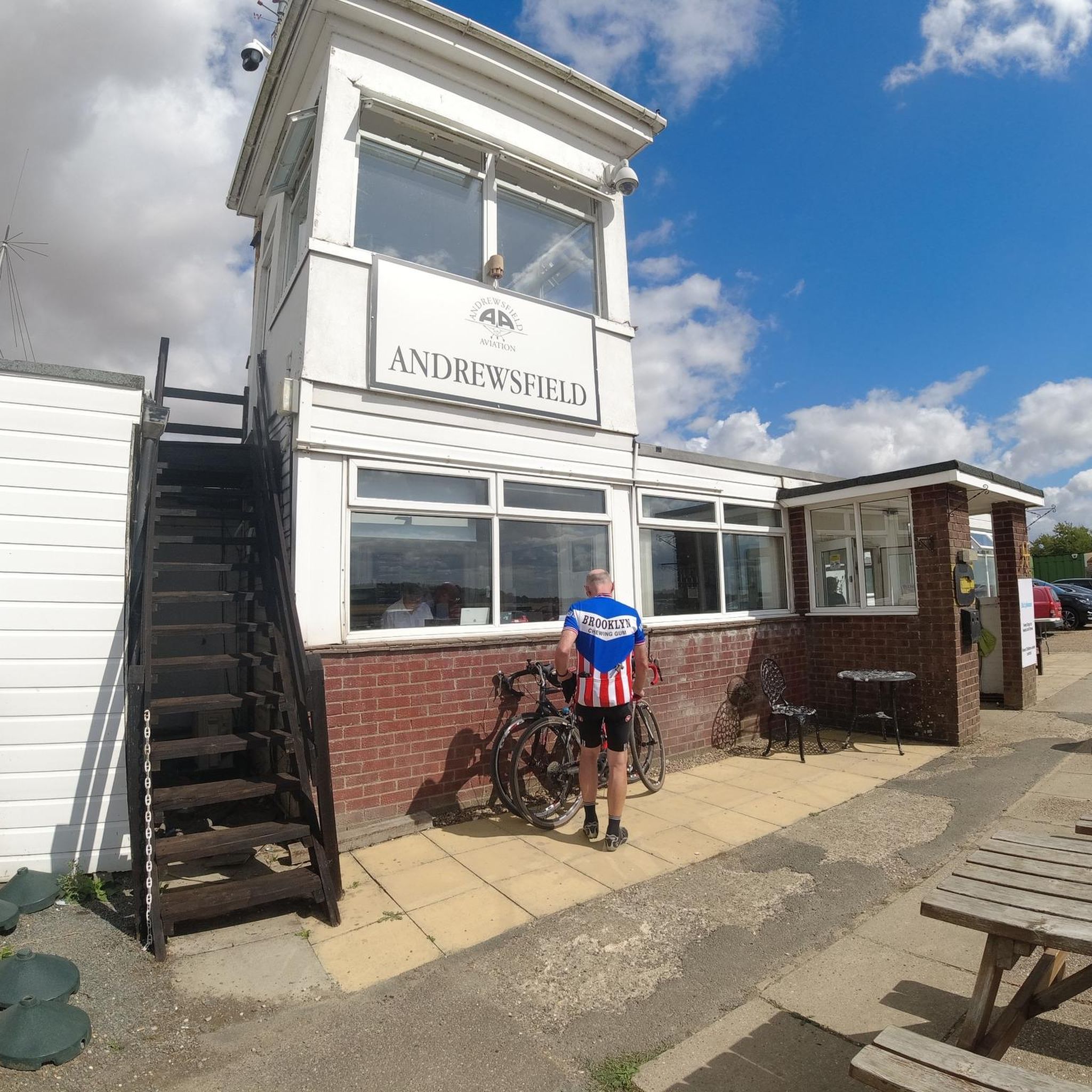
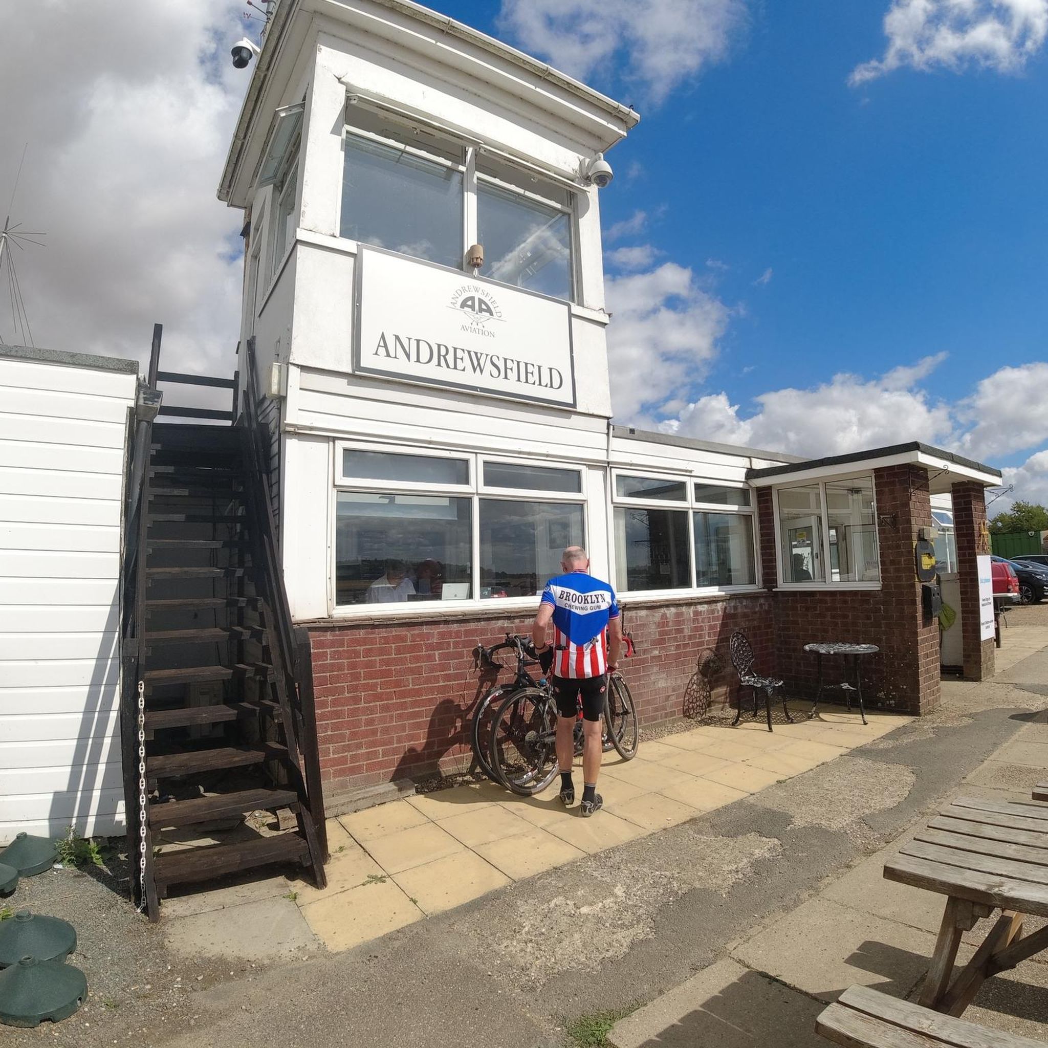
Great place for a break! Able to order outside (if the weather is nice) so don't need to worry about securing bike if a solo biker!
0
0

Joined the Flitch way here - an excellent off road trail all the way to Bishop's Stortford - as an old railway - fairly flat with gentle gradients - highly recommended.
0
0

Good coffee and cakes served here
0
0
Frequently Asked Questions
How many running routes are available in The Salings?
The Salings offers a wide variety of running experiences, with over 260 routes available for you to explore. These range from easy jogs to more challenging trails, catering to all fitness levels.
Are there easy jogging routes suitable for beginners or a relaxed run?
Yes, The Salings has several easy routes perfect for beginners or those looking for a relaxed run. For example, the Running loop from Rayne is an easy 3.6-mile (5.8 km) path with minimal elevation gain, offering a gentle introduction to the area's beautiful scenery.
What kind of terrain can I expect on the running trails in The Salings?
The terrain in The Salings is characterized by a gently undulating agricultural landscape. You'll find an extensive network of public footpaths, winding lanes, and ancient byways. While generally manageable, these paths offer varied inclines and declines, providing a dynamic visual experience through historic field patterns and hedgerows.
Are there circular running routes in The Salings?
Many of the running routes in The Salings are circular, allowing you to start and finish at the same point. The region's comprehensive system of public footpaths is well-suited for creating loops. For instance, the Flitch Way Country Park loop from Rayne is a moderate 4.8-mile (7.8 km) circular route that showcases the local landscape.
Are the running routes in The Salings suitable for families or those with dogs?
The extensive network of public footpaths and byways in The Salings makes many routes suitable for families and dogs, provided they are kept on a lead where required, especially near livestock. The generally gentle terrain and varied path types offer pleasant outings for all. Always check local signage for specific restrictions.
What are some scenic viewpoints or landmarks I might encounter on a run?
The Salings offers both attractive panoramic views across the countryside and more intimate, enclosed vistas within its valleys. You can appreciate historic field patterns, extensive hedgerows, and mature trees. While running, you might pass by points of interest like Bannister Green Halt, a historic railway stop, or the charming Finchingfield Village Green, which is a short distance from some routes.
How can I find parking or use public transport to access the running routes?
Access to the running routes in The Salings is primarily by car, with parking often available in or near the villages like Great Saling and Bardfield Saling, or at specific trailheads. For public transport, options might be limited, but some routes, like those starting from Rayne, are accessible near the Rayne Station and Flitch Way Visitor Centre, which can serve as a convenient starting point.
What is the best time of year for running in The Salings?
The Salings is enjoyable for running year-round. Spring and autumn offer pleasant temperatures and vibrant natural colors, with blooming wildflowers or rich foliage. Summer provides longer daylight hours, while winter can offer crisp, clear runs, though paths might be muddy. The well-maintained public footpaths ensure accessibility in most conditions.
Are there places to eat or drink near the running routes in The Salings?
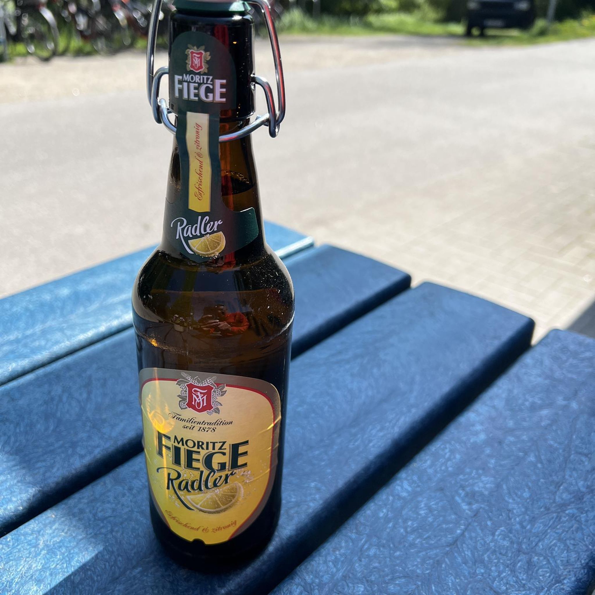
Yes, you can find charming spots to refuel after your run. The area has local pubs and cafes, particularly in and around the villages. For example, The Blue Egg Café is a popular spot that runners might find convenient depending on their chosen route.
What do other runners enjoy most about the trails in The Salings?
The running routes in The Salings are highly rated by the komoot community, with an average score of 4.25 stars from around 8 reviews. Runners often praise the area's extensive and well-maintained footpath network, the serene rural landscape, and the sense of historic continuity offered by the ancient byways and field patterns.
Can I find routes that offer a chance to see local wildlife?
Yes, areas like Pods Brook and Pods Lane are noted for their high ecological value, suggesting opportunities to jog through diverse natural habitats. The presence of woodland copse and mature woodland blocks along many routes means you might encounter various local flora and fauna, adding an extra dimension to your run.
Where can I find more detailed information about the public footpaths in The Salings?
The Salings Parish Council actively maintains and promotes its public footpaths. You can find more detailed information, including downloadable circular walks with maps and directions, on their website. Visit salings-pc.gov.uk/the-parish/parish-walks/ for resources that can help you plan your run.
What is the typical length of running routes in The Salings?
The running routes in The Salings vary in length to suit different preferences. You'll find options ranging from shorter, easy loops of around 2-3 miles (3-5 km) to longer, moderate trails extending up to 6-7 miles (10-11 km). This variety allows you to choose a distance that fits your training or leisure plans.
Most popular attractions around The Salings

Get inspired with the komoot mobile app


Explore more
Browse the best Running Trails & Routes in other regions.
