The best road cycling routes around Messing-Cum-Inworth
4.7
(91)
3,113
riders
282
rides
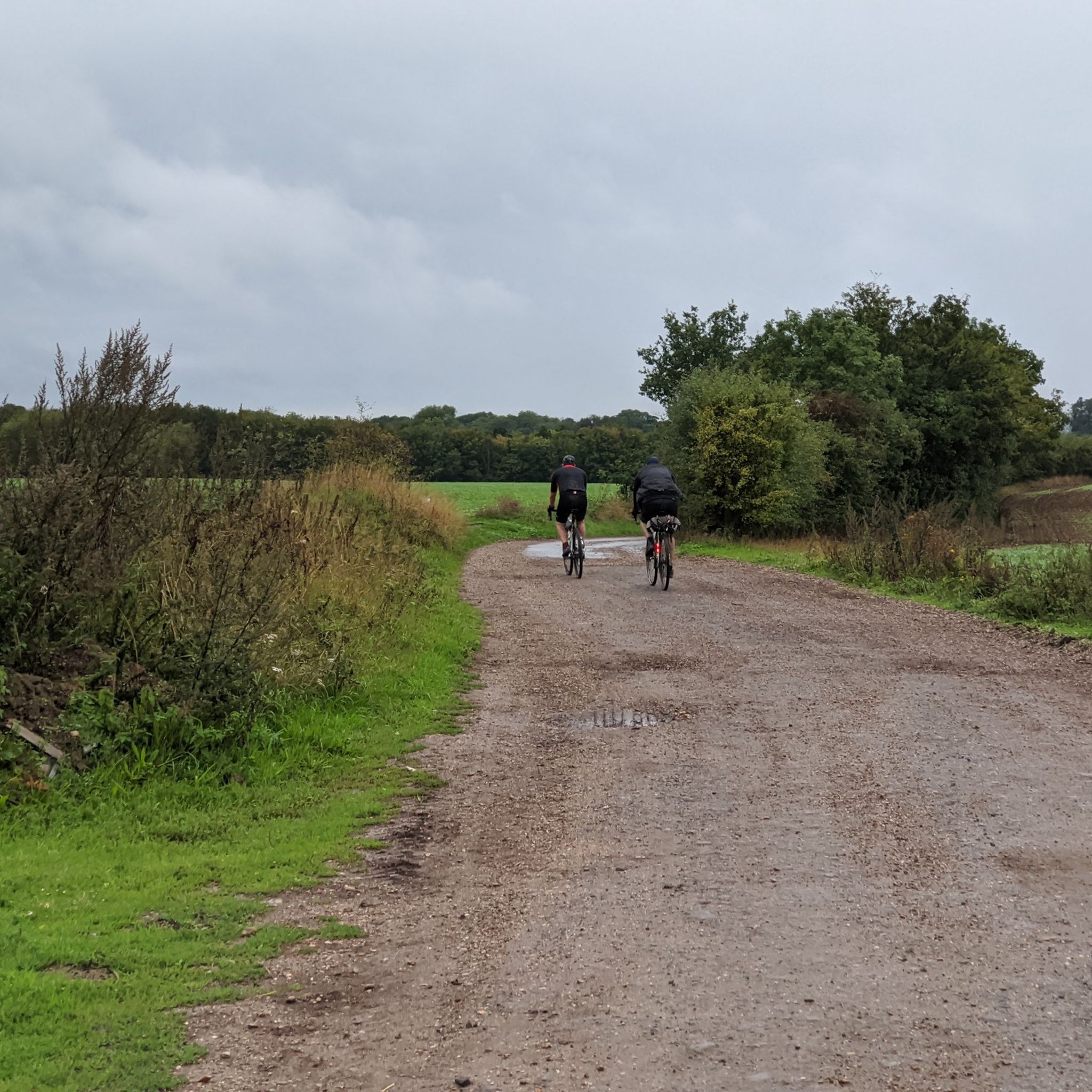
Road cycling routes around Messing-Cum-Inworth traverse a gently rolling countryside in North-East Essex, characterized by quiet country lanes and expansive farmland. The terrain is largely flat to mildly undulating, with the highest point in the parish reaching 69 meters (226 ft) above sea level. This area provides a rural setting suitable for road cyclists seeking less challenging climbs and consistent riding.
Best road cycling routes around Messing-Cum-Inworth
- The most popular road cycling route is Chappel Viaduct – St. Andrew's Church,…
Last updated: May 21, 2026
5.0
(1)
67
riders
103km
04:30
550m
550m
Moderate road ride. Good fitness required. Some segments of this route may be unpaved and difficult to ride.
57
riders
67.2km
03:10
340m
340m
Moderate road ride. Good fitness required. Mostly well-paved surfaces and easy to ride.

Sign up for free
5.0
(3)
51
riders
39.1km
01:58
180m
180m
Easy road ride. Great for any fitness level. Mostly well-paved surfaces and easy to ride.
5.0
(1)
40
riders
36.0km
01:44
180m
180m
Easy road ride. Great for any fitness level. Mostly well-paved surfaces and easy to ride.
5.0
(4)
55
riders
47.0km
02:02
320m
320m
Moderate road ride. Good fitness required. Mostly well-paved surfaces and easy to ride.
Get access to more routes and recommendations from other explorers.
Sign up for free
Already have an account?
Our route recommendations are based on thousands of hikes, rides, and runs completed by other people on komoot.
Start today with a free account
Your next adventure awaits.
Login or Signup

Tips from the Community


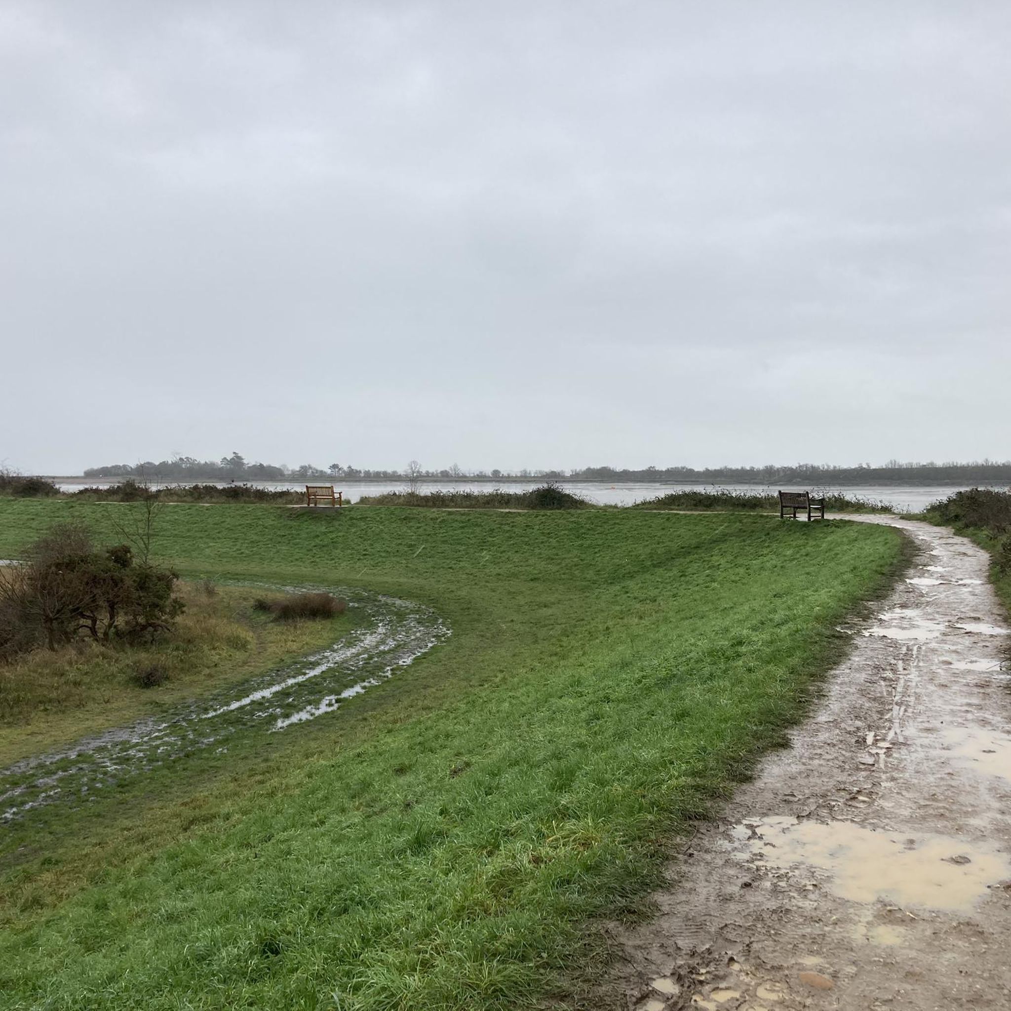
Ensure you check the local tide table as the Strood often floods at high tide.
0
0

Small cafe with sheltered space outside to eat. Inside a little cosy! Staff extremely friendly. A reasonable range of food. Also space to prop your bicycle.
0
0


great place for a beer and food after 2,5 hours hike!
0
0

Impressive structure bridging the Colne Valley. The longest bridge in East Anglia!
0
0
The slight elevation of the Tollesbury road gives views clear across the marshes all the way to the buildings of West Mersea rising up on the slopes of Mersea Island.
0
0
The concrete road surface is pretty rough but best to try and carry your speed if you can for the rises at either end.
0
0
Frequently Asked Questions
What kind of terrain can I expect when road cycling around Messing-Cum-Inworth?
The terrain around Messing-Cum-Inworth is largely flat to mildly undulating, characterized by a gently rolling countryside. The highest point in the parish reaches only 69 meters (226 ft) above sea level, making it suitable for cyclists who prefer less challenging climbs and consistent riding. You'll find quiet country lanes and expansive farmland offering scenic views of the Essex landscape.
How many road cycling routes are available in the Messing-Cum-Inworth area?
There are over 290 road cycling routes available around Messing-Cum-Inworth. These routes cater to various ability levels, including easy, moderate, and a few more challenging options.
Are there any easy road cycling routes suitable for beginners or families?
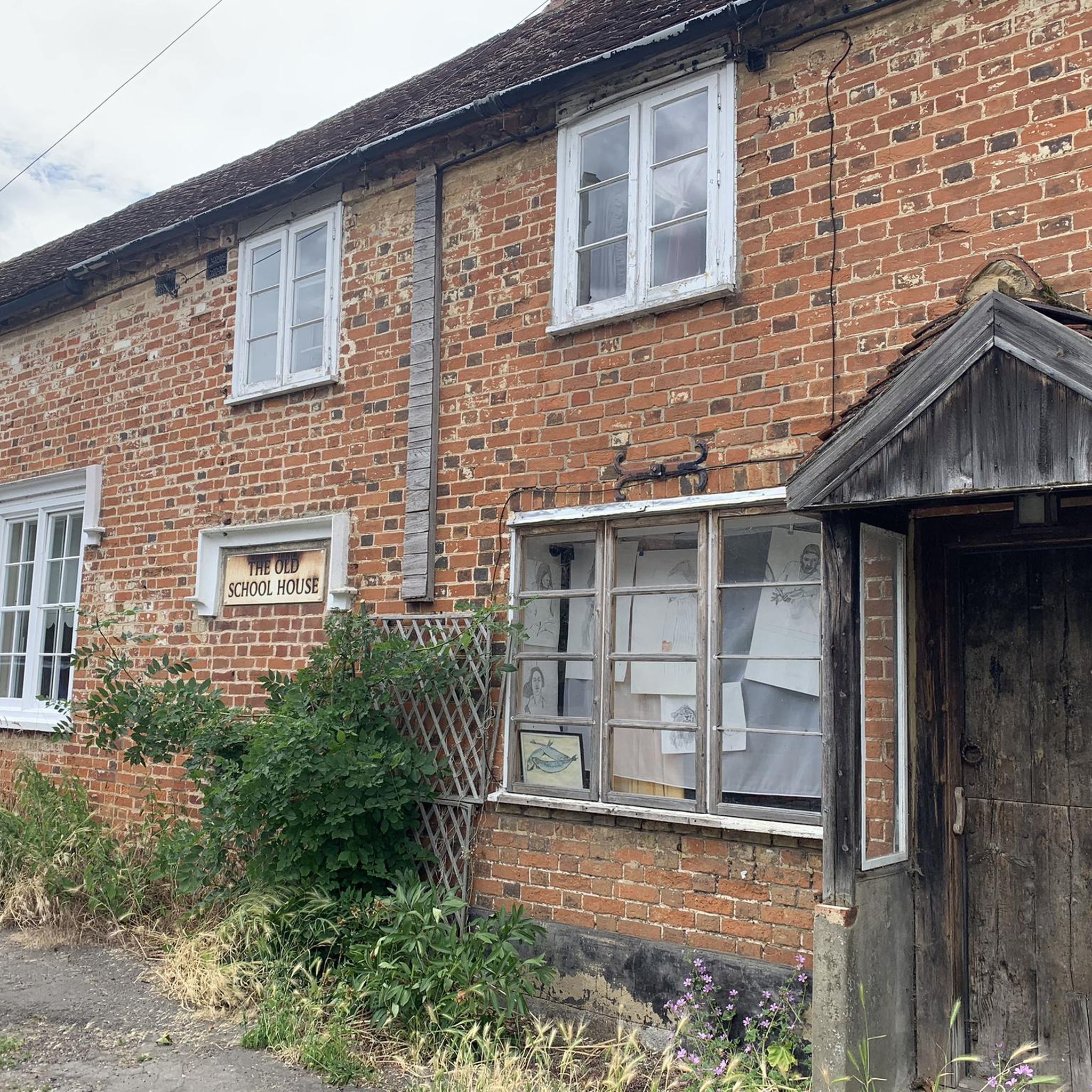
Yes, Messing-Cum-Inworth offers a good selection of easy routes. For instance, The Old School House – Layer Church loop from Kelvedon is an easy 24.7-mile (39.7 km) path that navigates through charming villages and quiet lanes. Another easy option is The Old School House – Wrought Iron Gate by the Field loop from Tiptree, covering 35.6 km (22.1 miles).
What are some scenic highlights or landmarks I can see while cycling in the region?
While cycling, you'll experience picturesque countryside and expansive farmland with long-distance views. The historic All Saints Church in Messing, dating back to the 14th century, is a notable cultural landmark. You might also encounter features like The Stumble Causeway to Osea Island or the historic Coggeshall Historic Town Centre on routes nearby.
What do other road cyclists think about the routes in Messing-Cum-Inworth?
The road cycling routes in Messing-Cum-Inworth are highly rated by the komoot community, with an average score of 4.7 stars from over 80 reviews. Cyclists often praise the quiet country lanes, the scenic rural vistas, and the generally gentle topography that makes for enjoyable rides.
Are there any circular road cycling routes available?
Yes, many of the routes in the area are designed as loops. For example, Chappel Viaduct – St. Andrew's Church, Alresford loop from Kelvedon is a 63.8-mile (102.7 km) circular route. Another popular loop is The Old School House – Church Steeple loop from Kelvedon, which is 42.9 miles (69.1 km) long.
What is the best time of year for road cycling in Messing-Cum-Inworth?
The region's gently rolling hills and quiet country lanes are enjoyable throughout much of the year. Spring and summer offer pleasant weather for cycling through the expansive farmland and picturesque countryside. Autumn also provides beautiful scenery with changing foliage. Winter cycling is possible, but conditions may vary.
Are there places to stop for refreshments or food along the routes?
The village of Messing itself offers local amenities, including a pub/restaurant and a garden center, which can serve as convenient stops for refreshments. Many routes also pass through or near other charming villages in Essex that provide cafes and pubs suitable for cyclists.
Is Messing-Cum-Inworth suitable for dog-friendly cycling?
While the quiet country lanes are generally safe for cycling, road cycling with dogs typically requires specific considerations like a dog trailer. The region's rural setting and quiet roads could be suitable if you have appropriate gear for your dog. Always prioritize your pet's safety and comfort.
Where can I find parking when starting a road cycling route in the area?
Specific parking information for individual trailheads is not detailed, but as a rural area, parking is often available in village centers or designated public car parks. It's advisable to check local parking regulations for any village you plan to start from, such as Messing or nearby Kelvedon and Tiptree.
Are there any particularly long or challenging road cycling routes?
While the area is known for its gentle topography, there are longer routes that offer a good challenge. The Chappel Viaduct – St. Andrew's Church, Alresford loop from Kelvedon, at 63.8 miles (102.7 km) with over 550 meters of elevation gain, is a moderate option for those seeking a longer ride. There are a few routes classified as 'difficult' among the 290+ available, offering more significant elevation.
Can I combine road cycling with visiting local attractions?
Absolutely. The region is dotted with charming villages and historic sites. You can plan your route to include stops at places like All Saints Church in Messing or explore nearby historic towns. For example, the Owl's Hill Tearoom – The Square Compasses loop from Tiptree offers a moderate ride that could be combined with local stops.
Most popular routes around Messing-Cum-Inworth
Most popular attractions around Messing-Cum-Inworth

Get inspired with the komoot mobile app


Explore more
Browse the best Road cycling routes in other regions.
