The best mountain hikes around Schönbühel-Aggsbach
5.0
(1)
47
hikers
8
hikes
Mountaineering routes around Schönbühel-Aggsbach are set within the Wachau region of Lower Austria, characterized by the Danube River carving through the landscape. The expansive Dunkelsteinerwald provides dense forest areas with rock and cliff formations. The Jauerling, at 960 meters, stands as a prominent mountain, offering significant elevation gain opportunities. The terrain includes rolling hills, terraced vineyards, and diverse natural features suitable for various mountaineering activities.
Best mountaineering routes around Schönbühel-Aggsbach
- The most popular mountaineering route is Hirschwandsteig Rocky Outcrop –…
Last updated: July 1, 2026
7
hikers
5.10km
02:42
510m
510m
Hard mountaineering route. Good fitness required. Sure-footedness, sturdy shoes and alpine experience required.
10
hikers
4.64km
02:04
440m
440m
Moderate mountaineering route. Good fitness required. Easily-accessible paths. Suitable for all skill levels.

Sign up for free
7
hikers
Hard mountaineering route. Very good fitness required. Mostly accessible paths. Sure-footedness required.
4
hikers
8.44km
03:10
480m
480m
Moderate mountaineering route. Good fitness required. Mostly accessible paths. Sure-footedness required.
3
hikers
Moderate mountaineering route. Good fitness required. Easily-accessible paths. Suitable for all skill levels.
Get access to more routes and recommendations from other explorers.
Sign up for free
Already have an account?
Our route recommendations are based on thousands of hikes, rides, and runs completed by other people on komoot.
Start today with a free account
Your next adventure awaits.
Login or Signup
Popular around Schönbühel-Aggsbach

North-South Trail through Austria – Small country, big paths!
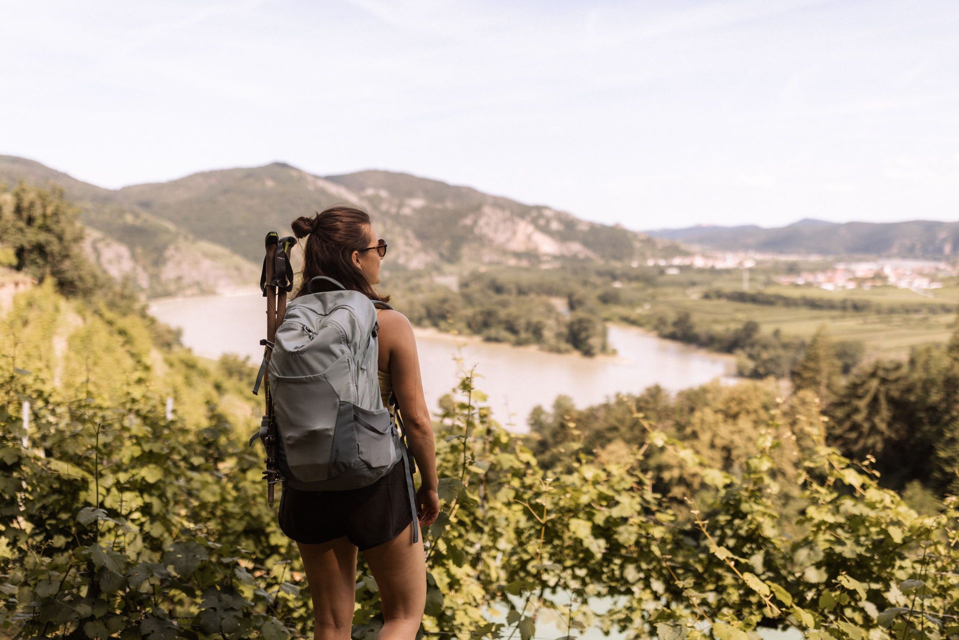
Wachau World Heritage Trail – Danube Valley and Wachau wine country
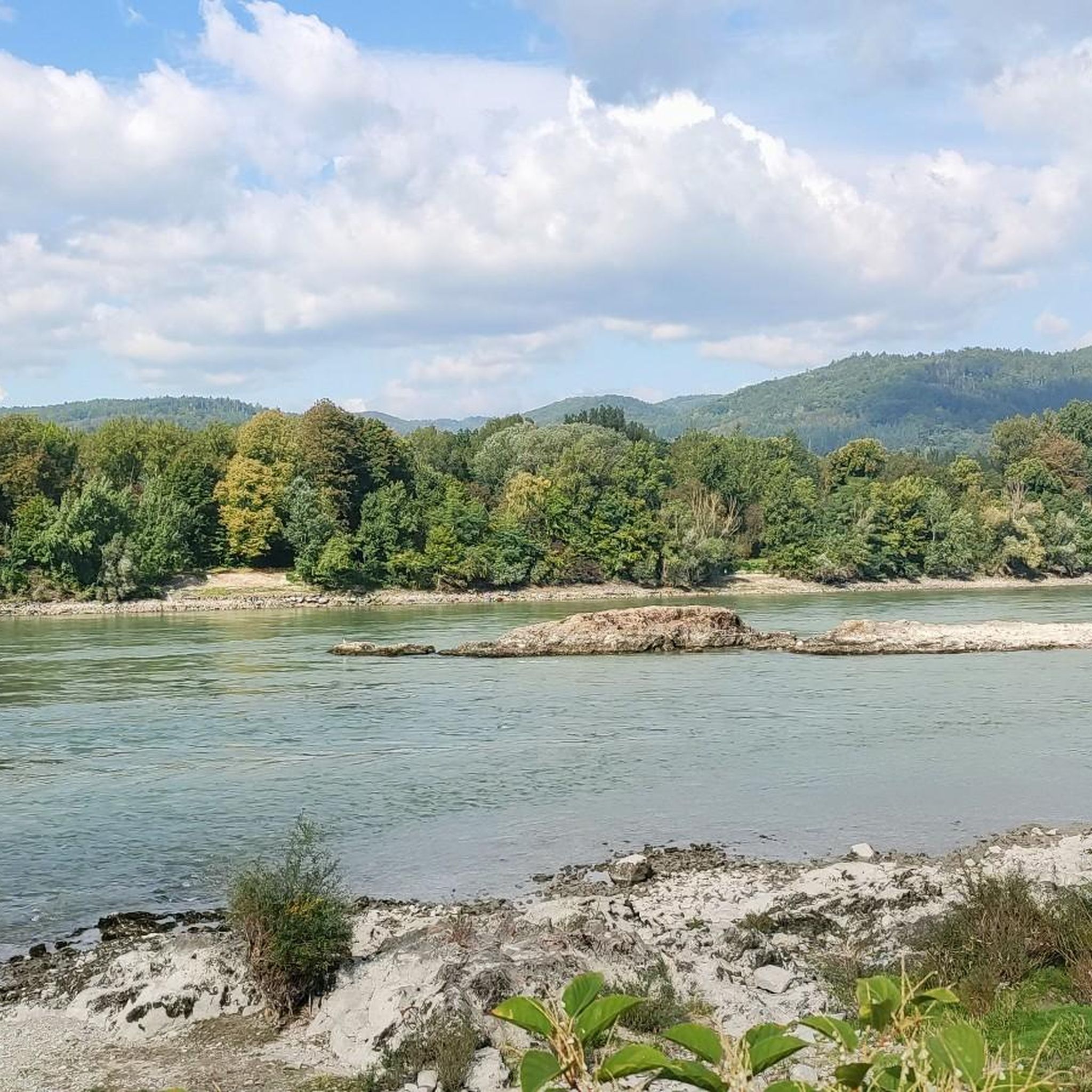
Hiking around Schönbühel-Aggsbach
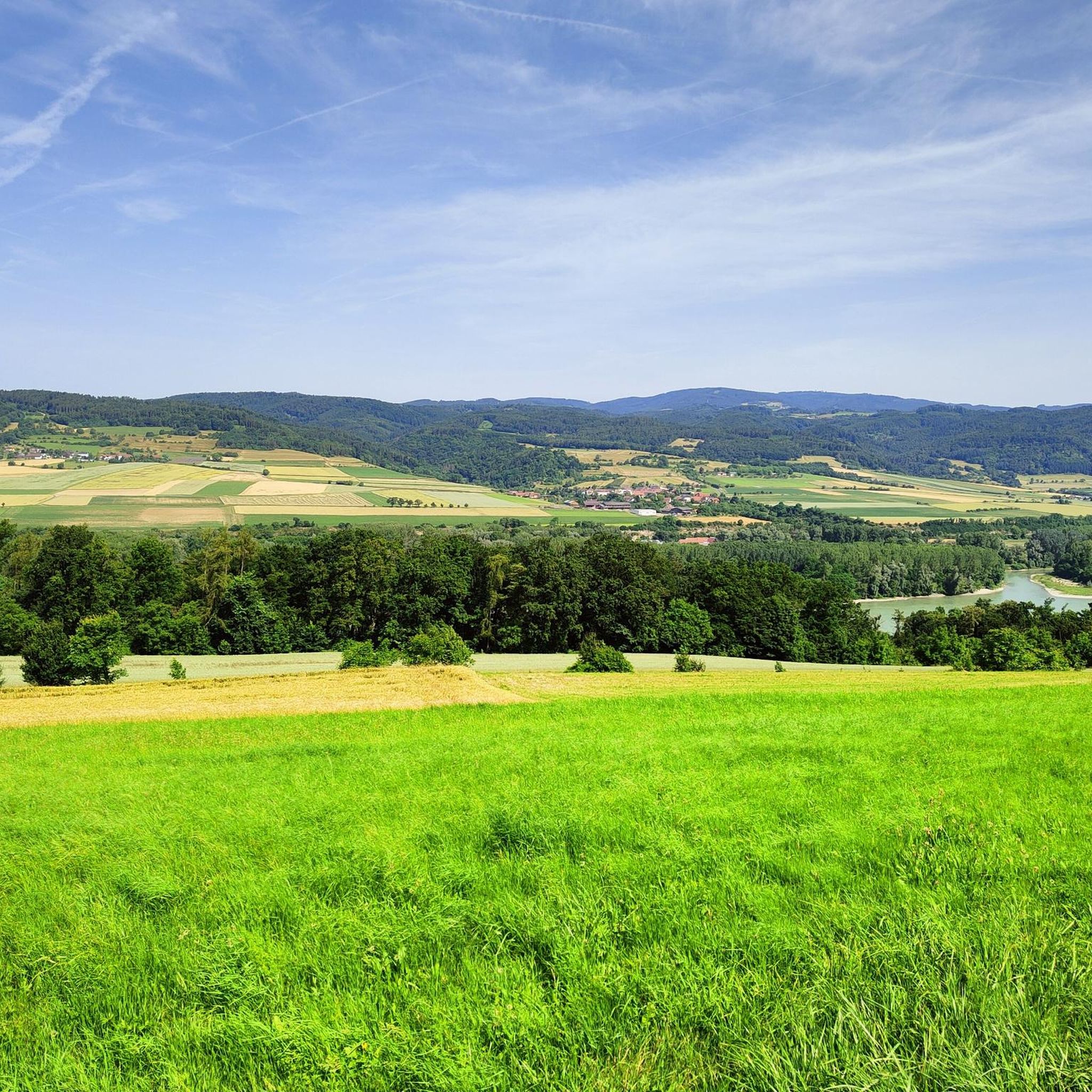
MTB Trails around Schönbühel-Aggsbach
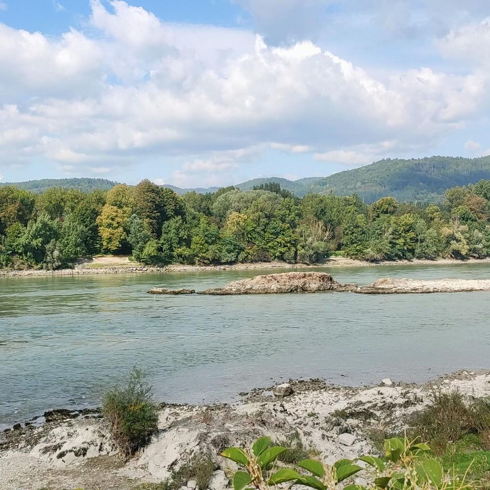
Road Cycling Routes around Schönbühel-Aggsbach
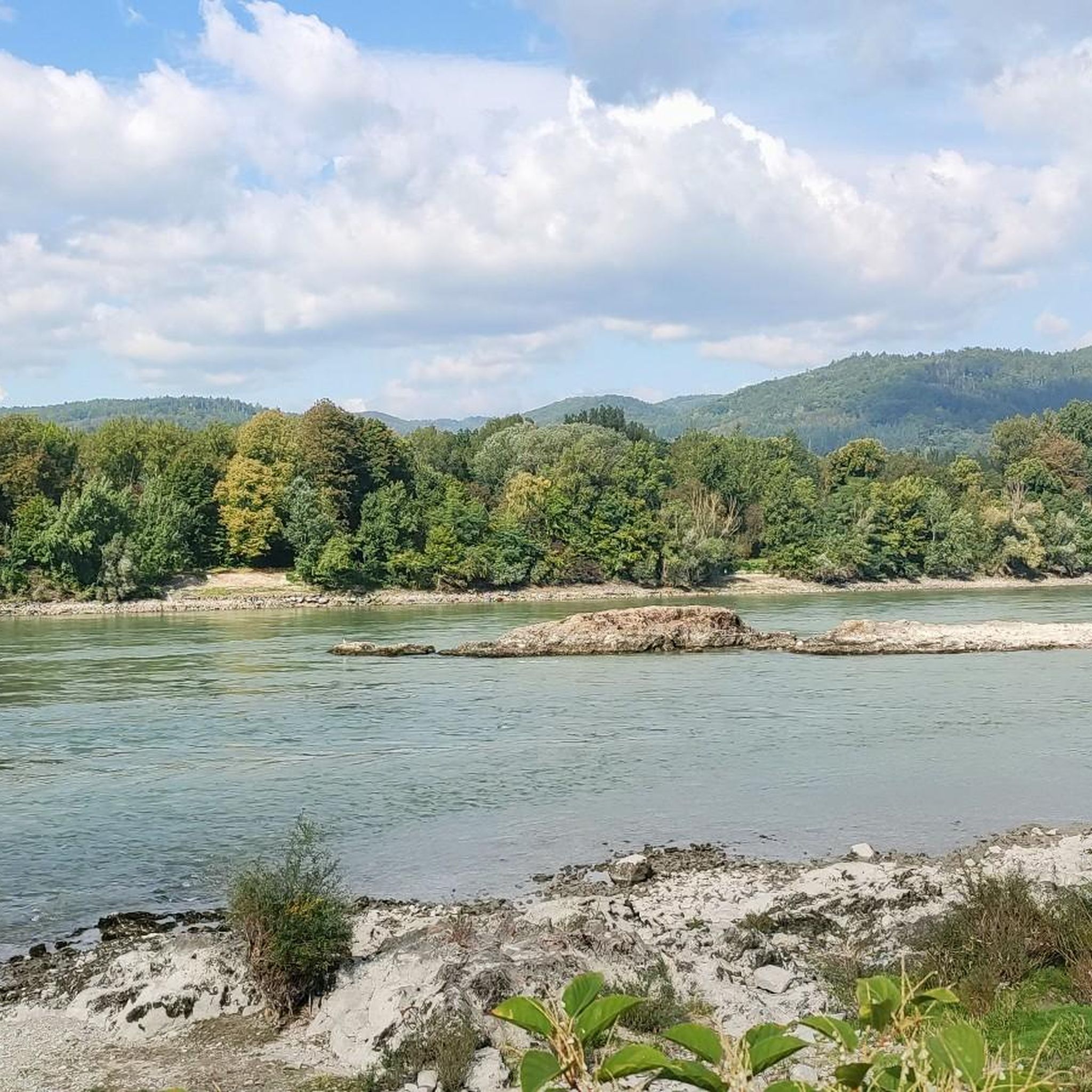
Cycling around Schönbühel-Aggsbach
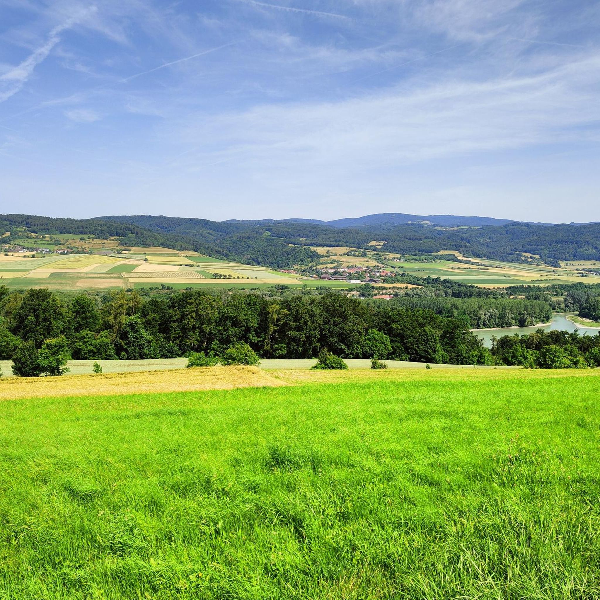
Running Trails around Schönbühel-Aggsbach

Gravel biking around Schönbühel-Aggsbach


Tips from the Community

The highest point of the Jauerling is in the middle of the forest; the summit cross is located at the edge of the forest and is a few minutes away from the highest point.
0
0

Of course, the observation deck next to the transmitter is more interesting.
0
0
Very good food and a beautiful view of the Spitzergraben, Spitz and the Danube from the terrace.
0
0

A great place for a rest with a view. We enjoyed it.
7
0
A small tunnel with an entrance. No further details can be found.
8
0
The Red Gate of the old market fortifications of Spitz offers a beautiful view of the market town in front of the Tausendeimerberg mountain. Next to it stands a lovely historic wayside shrine.
9
0
The parish church of St. Mauritius in Spitz on the Danube is a Gothic building with three naves and an extended chancel. The local church history dates back to the 10th century. Inside, the beautiful vaults, the magnificent Baroque altars, and the Gothic figures of the apostles are particularly worth seeing. We found the church open.
11
0

Frequently Asked Questions
What kind of terrain can I expect on mountaineering routes in Schönbühel-Aggsbach?
The mountaineering routes in Schönbühel-Aggsbach are characterized by the dramatic Danube River valley, dense forests of the Dunkelsteinerwald, and notable rock formations. You'll encounter rolling hills, terraced vineyards, and diverse natural features, with options for both moderate and difficult ability levels.
Are there any challenging mountaineering routes for experienced climbers?
Yes, Schönbühel-Aggsbach offers several challenging routes. For instance, the Sonnstein loop from Rossatz-Arnsdorf is a difficult 6.1 km path with substantial elevation gain. Another demanding option is the Parish church of St. Mauritius – Jauerling Observation Tower loop from Spitz a.d. Donau, which is a difficult 19.0 km route with over 800 meters of elevation gain.
What are some moderate mountaineering options in the area?
For those seeking a moderate challenge, the Hirschwandsteig Rocky Outcrop – Fahnenwand loop from Rossatz-Arnsdorf is a great choice. This 9.3 km trail features a significant rocky outcrop with rewarding views. Another moderate option is the Mountaineering loop from Rossatz-Arnsdorf, a 4.6 km route with about 440 meters of ascent.
Are there any circular mountaineering routes available?
Many of the mountaineering routes in Schönbühel-Aggsbach are designed as loops. Examples include the Hirschwandsteig Rocky Outcrop – Fahnenwand loop from Rossatz-Arnsdorf, the Sonnstein loop from Rossatz-Arnsdorf, and the Kienstockspitze 591 m loop from Rossatz-Arnsdorf, all offering a return to your starting point.
What historical landmarks or viewpoints can I find along the mountaineering trails?
The region is rich in historical sites and offers stunning viewpoints. You can explore the prominent medieval Burgruine Aggstein, perched high above the Danube. Other notable spots include the Jauerling Observation Tower, offering panoramic vistas, and the Seekopf Observation Tower (671 m). The Tausendeimerberg also provides excellent views.
What do other mountaineers think about the routes in Schönbühel-Aggsbach?
The mountaineering routes in Schönbühel-Aggsbach are highly regarded by the komoot community, holding an impressive average rating of 5.0 stars from over 3 reviews. Many of the 81 mountaineers who have explored the area praise the varied terrain and the stunning views of the Danube and Dunkelsteinerwald.
Are there any specific climbing spots or rock formations to explore?
While not high-alpine, Schönbühel-Aggsbach is known for its climbing opportunities. The region features popular climbing areas like the "Agsbach-Kogler-Steig" and spots in Aggsbach Markt such as the "Rote Wand-Klettergarten" and the "Schleierfall." Additionally, the Burg Aggstein hosts a climbing garden with routes of varying difficulty.
What is the highest point I can reach on a mountaineering route in this region?
The Jauerling, standing at 960 meters, is the highest mountain in the southern Waldviertel and a significant destination for mountaineers. The Parish church of St. Mauritius – Jauerling Observation Tower loop from Spitz a.d. Donau will take you to the vicinity of its observation tower.
Are there any natural features like lakes or rivers to see along the trails?
Absolutely. The majestic Danube River is a constant presence, carving through the landscape and offering stunning views. You might also encounter smaller bodies of water such as Lake Rührsdorf, Danube Lake, or Rudolf Lake, which add to the scenic beauty of the region.
What is the typical duration for a mountaineering tour in Schönbühel-Aggsbach?
The duration of mountaineering tours varies depending on the route and your pace. For example, a moderate route like the Hirschwandsteig Rocky Outcrop – Fahnenwand loop from Rossatz-Arnsdorf typically takes around 3 hours and 28 minutes. More challenging and longer routes, such as the Parish church of St. Mauritius – Jauerling Observation Tower loop from Spitz a.d. Donau, can take over 6 hours.
How many mountaineering routes are available in Schönbühel-Aggsbach?
There are nine distinct mountaineering routes detailed for the Schönbühel-Aggsbach region, offering a good variety for different skill levels and preferences.
Most popular routes around Schönbühel-Aggsbach
Most popular attractions around Schönbühel-Aggsbach

Get inspired with the komoot mobile app


Explore more
Browse the best Mountain Hikes & Routes in other regions.
