The best walks and hikes around Barling Magna
4.6
(200)
3,135
hikers
194
hikes
Hiking around Barling Magna explores a landscape defined by flat marshlands and riverside paths along the River Roach. The region's terrain consists mainly of low-lying coastal plains and nature reserves, with minimal elevation change. These walking routes near Barling Magna often follow public footpaths through agricultural land and protected wildlife habitats, offering accessible options for various fitness levels.
Best hiking trails around Barling Magna
- The most popular hiking route is River Roach – River Roach loop from Barling Magna, a 4.3 miles (7.0 km) trail that takes about 1 hour 45 minutes to complete. This route follows the riverbank with expansive views across the water.
- Another top favourite among local hikers is Maldon Causeway loop from Glebe Close, an easy 3.2 miles (5.1 km) path. This trail offers a pleasant walk through the low-lying coastal plains.
- Local hikers also love the The Plough & Sail, Paglesham – HMS Beagle Wreck Site loop from Paglesham, a 1.9 miles (3.0 km) trail leading through marshland, often completed in about 45 minutes.
- Hiking around Barling Magna is defined by its tranquil river paths, expansive marshlands, and dedicated nature reserves. The network of trails offers accessible, mostly flat options suitable for various fitness levels.
- The routes in Barling Magna are highly rated by the komoot community with an average score of 4.6 stars from over 180 reviews. More than 3,000 hikers have used komoot to explore Barling Magna's varied terrain.
Last updated: August 30, 2026
4.8
(4)
20
hikers
6.98km
01:46
10m
10m
Easy hike. Great for any fitness level. Easily-accessible paths. Suitable for all skill levels.
5.0
(2)
18
hikers
Easy hike. Great for any fitness level. Easily-accessible paths. Suitable for all skill levels.

Sign up for free
4.6
(5)
10
hikers
Moderate hike. Good fitness required. Easily-accessible paths. Suitable for all skill levels.
14
hikers
7.35km
01:52
20m
20m
Easy hike. Great for any fitness level. Easily-accessible paths. Suitable for all skill levels.
4.6
(5)
9
hikers
Moderate hike. Good fitness required. Easily-accessible paths. Suitable for all skill levels.
Get access to more routes and recommendations from other explorers.
Sign up for free
Already have an account?
Our route recommendations are based on thousands of hikes, rides, and runs completed by other people on komoot.
Start today with a free account
Your next adventure awaits.
Login or Signup
Tips from the Community

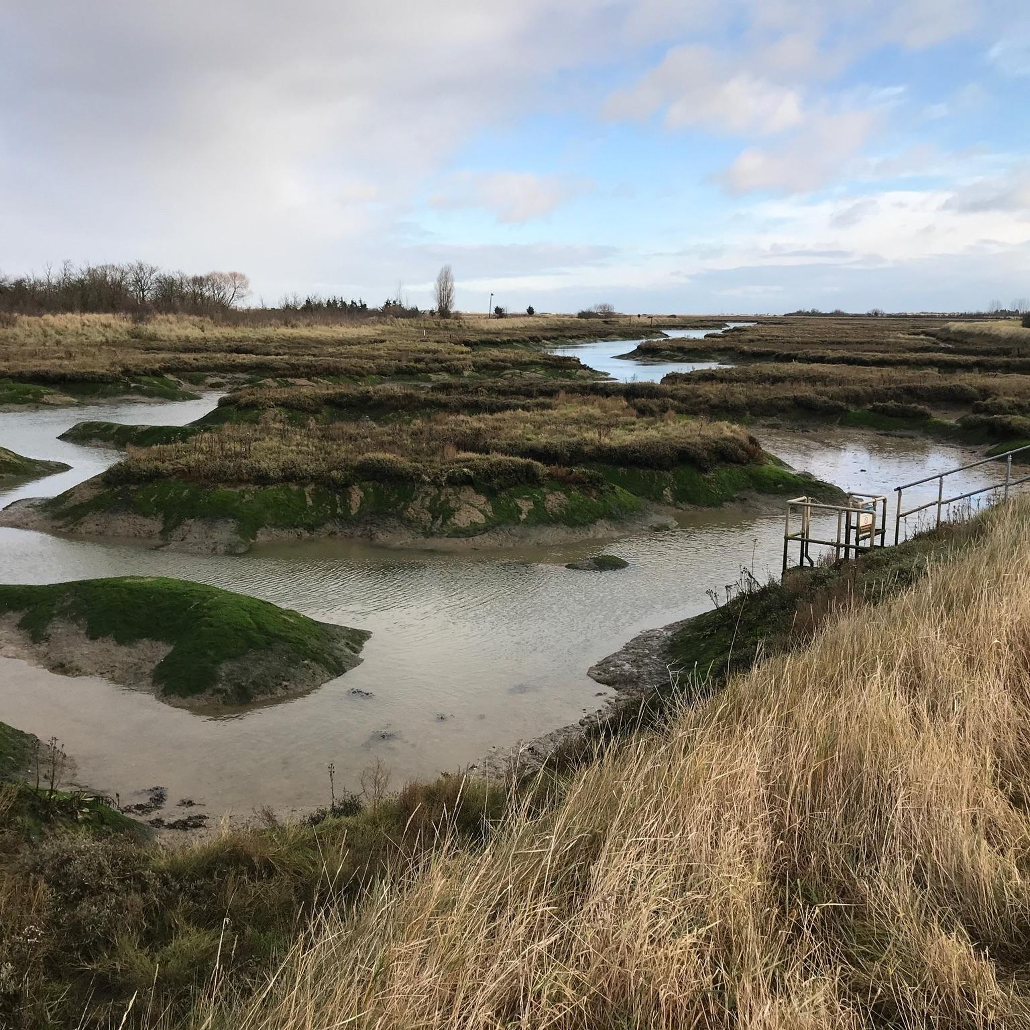
The salt marsh at Paglesham Pool preserves traces of past oyster cultivation, evident in rows and rectangular pool-shaped depressions. Further downstream, attention is drawn to a substantial box-shaped structure - the rusted metal core of a shipwrecked wooden vessel. A handful of derelict boats rest near the oyster beds, and just beyond, concealed beneath the marshland, lies the remains of the HMS Beagle.
1
0
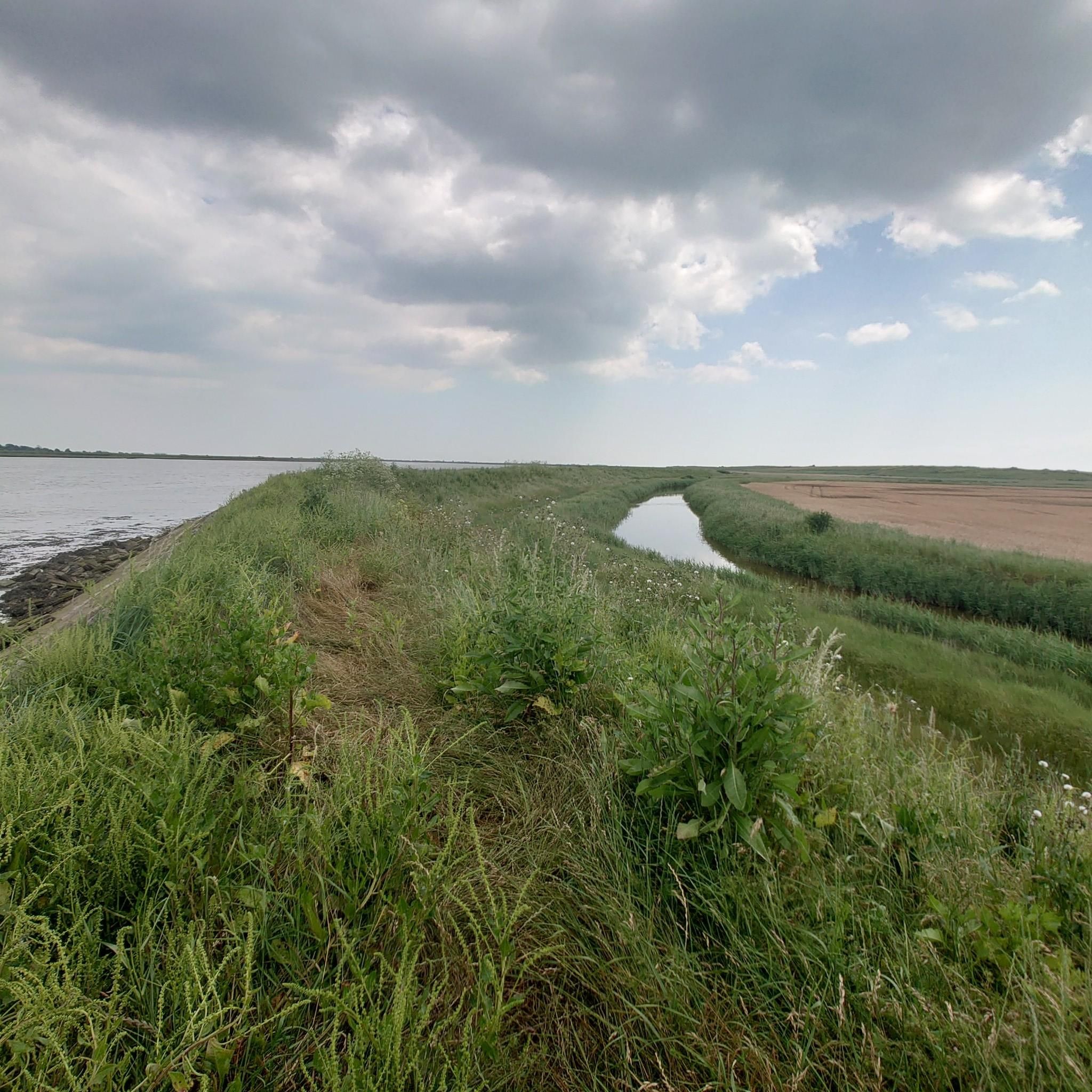
Lovely coastal pathway looking over to Great Stambridge. Barling Magna Wildlife Reserve is just set back from the route. A mixture of woodland and fauna with lots of birds and wildlife to see.
1
0

No sign of the Beagle but a beautiful, very 'Essexy' spot.
0
0
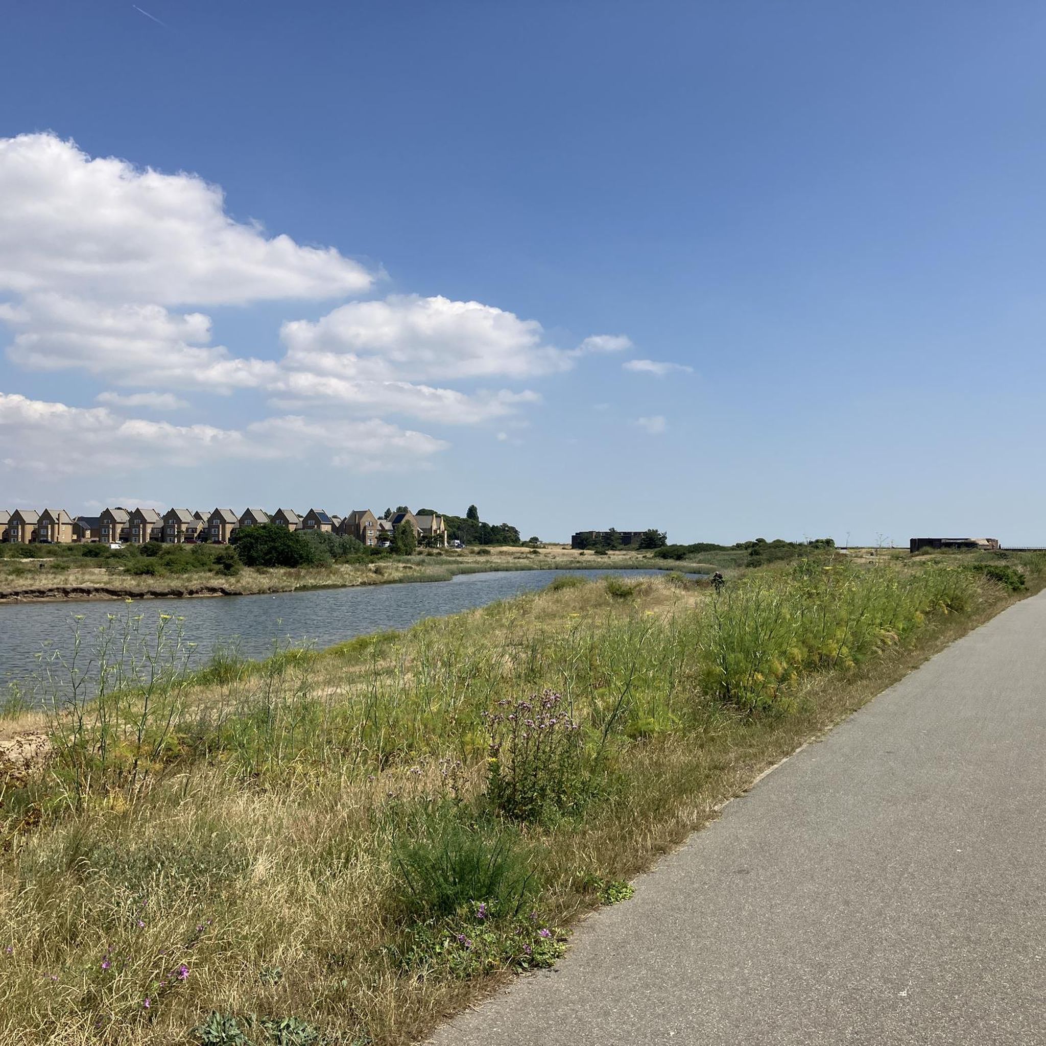
Access to the seawall from here - West takes you (nearly) all the way to Rochford (3 miles-ish); East takes you 10 miles via Barling, Wakering Boatyard to Wakering Stairs.
0
0

This small, ruined dock amid abandoned osyster beds is the last post of the H.M.S. Beagle; Charles Darwin's expedition ship that took him around the world. The vessel spent its final years moored here, acting as a deterrent for smugglers.
0
0

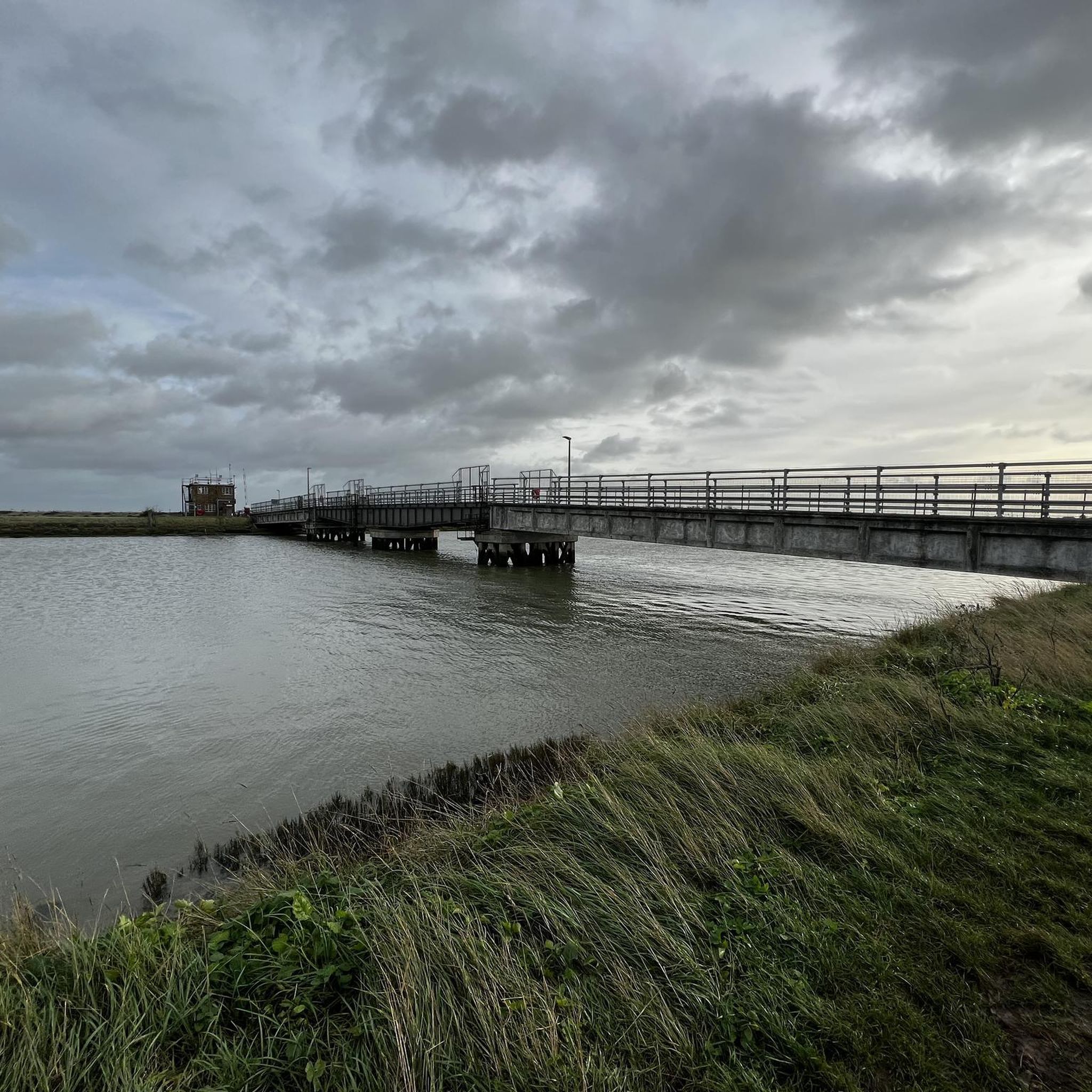
I like to walk down onto the causeway here at low water and have a little explore round the rocks there. I've spotted different species of crabs, worms, crustaceans, shrimps and a few fish....
0
0

Just a few hundred yards away from the River Rouch you’ll find the Plough and Sail owned by the Oliver Family. Still run as a traditional pub with real log fires, fine ales, home cooked food and a very warm welcome. The Plough and Sail has history dating back over 300 years. It is said that Paglesham was known to be the smuggling capital of the district where many locals were ship owners using the port to transport goods such as tea, gin and tobacco from Dunkirk, providing a healthy profit. The coast between Southend and Rochford was ideal smuggling country, with its creeks and rivulets turning to mud flats at low tide. Over 30 oyster smacks were based in Paghesham and the Plough and Sail became a meeting place for the hardworking crews. Today, The Plough and Sail still provides a meeting place for the local community and those visiting to enjoy the natural beauty of the Essex countryside.
0
0
Frequently Asked Questions
Are there many walking routes to choose from around Barling Magna?
Yes, there are over 200 walking routes to explore in the area. The landscape is mostly flat, featuring riverside paths and nature reserves, which makes it accessible for many fitness levels. The majority of these are easy walks, with a good number of moderate options for those seeking a longer trek.
What do other hikers think of the trails in Barling Magna?
The trails are highly rated by the komoot community. Hikers often praise the tranquil riverside paths along the River Roach and the expansive views across the flat marshlands. The well-maintained public footpaths through protected wildlife habitats are also frequently mentioned.
Are the walks around Barling Magna suitable for families with children?
Absolutely. The region's flat terrain and numerous easy trails make it ideal for family outings. For a shorter, engaging walk, consider the Paglesham Pool – HMS Beagle Wreck Site loop from Paglesham East End. It's less than 2 miles and offers a bit of local history to keep things interesting.
Can I take my dog on the trails?
Yes, the area is generally dog-friendly, with many public footpaths crossing open countryside where dogs are welcome. The riverside and marshland trails are particularly popular for dog walking. However, always be mindful of wildlife, especially in nature reserves, and keep your dog under control.
Are there any good circular walks available?
The region is excellent for circular walks, meaning you can start and end in the same place without retracing your steps. A great example is the Maldon Causeway loop from Great Wakering, which provides a pleasant 4.5-mile circuit through the local landscape.
What are the walking trails like within the Barling Magna Wildlife Reserve?
The Barling Magna Wildlife Reserve offers a network of gentle walking trails through wildflower meadows and past a tranquil pond. It's a popular spot for birdwatching and enjoying local nature. The main path is generally firm, but other grass paths can get muddy, so appropriate footwear is recommended.
Where can I park to visit the Barling Magna Wildlife Reserve?
There is a small car park available for visitors at the entrance to the Barling Magna Wildlife Reserve on Mucking Hall Road. As it's a popular local spot, especially on weekends, space can be limited.
Are there any longer or more challenging hikes in the area?
While most trails are easy, there are options for a longer day out. The Footpath to Mucking Hall Road – River Roach loop from Great Wakering is a moderate hike of nearly 8 miles that combines riverside scenery with paths through open fields for a more substantial walk.
Are there any trails with historical points of interest?
Yes, several walks incorporate local history. The View of the Riverbank Pillbox loop from Paglesham East End takes you past a World War II-era pillbox, offering a glimpse into the region's past while you enjoy views of the river.
What kind of terrain should I expect on hikes around Barling Magna?
Expect mostly flat terrain. The hikes are characterized by low-lying coastal plains, marshlands, and riverside paths along the River Roach. Elevation gain is minimal on almost all routes, making for easy-going and accessible walking conditions.
Are there any facilities like toilets or cafes at the Barling Magna Wildlife Reserve?
The Barling Magna Wildlife Reserve is a natural sanctuary managed by volunteers and does not have public toilets, cafes, or drinking water facilities on-site. It's best to plan ahead and bring your own water and snacks.
Most popular attractions around Barling Magna

Get inspired with the komoot mobile app


Explore more
Browse the best Hikes in other regions.
