Waterperry With Thomley
Waterperry With Thomley
The best walks and hikes around Waterperry With Thomley
4.5
(500)
4,981
hikers
311
hikes
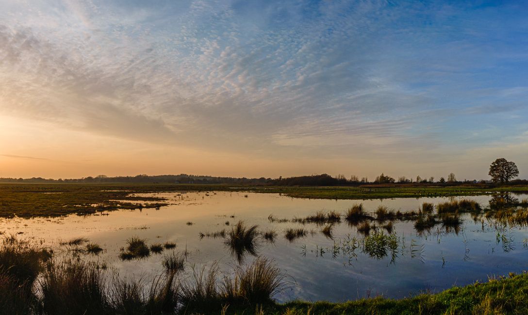
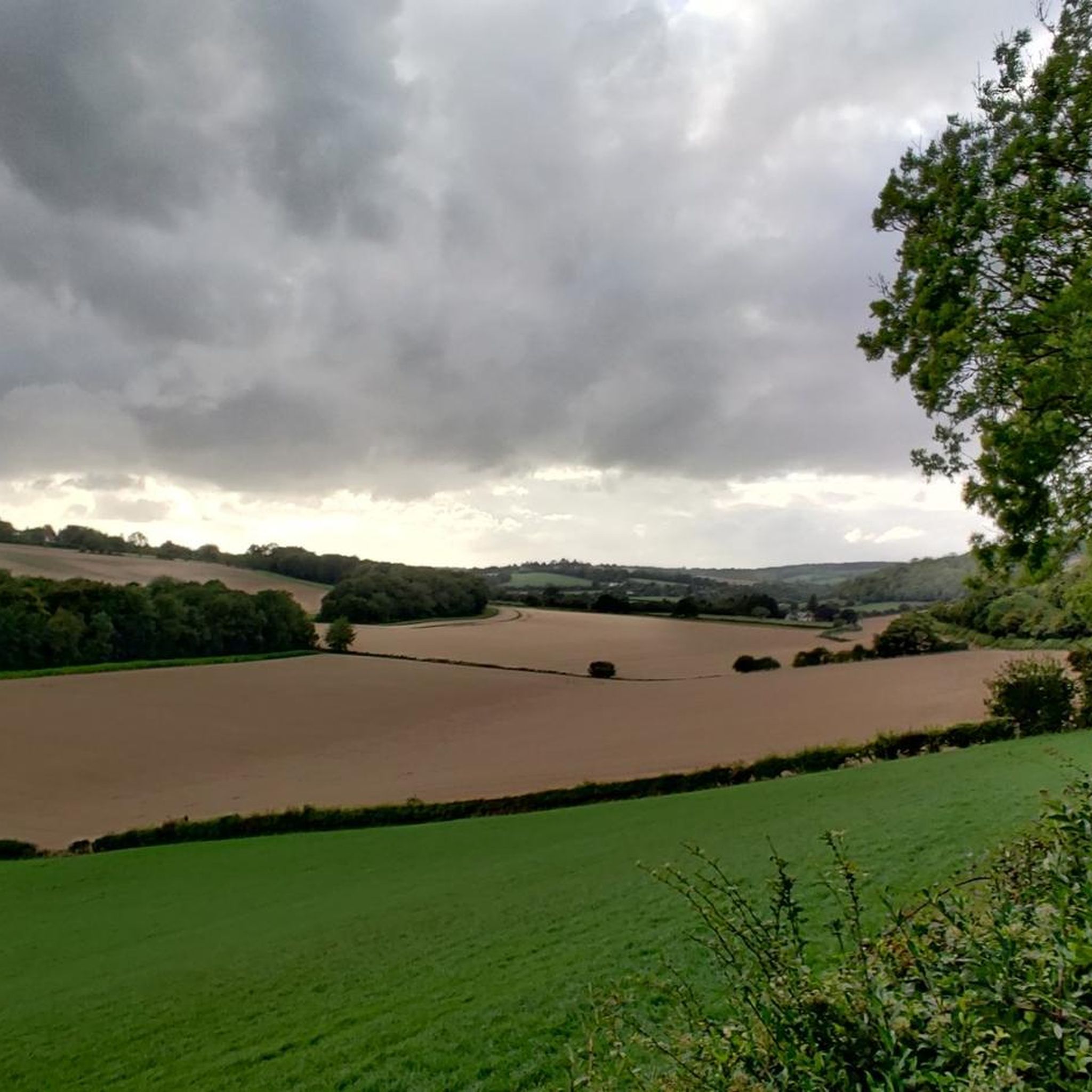
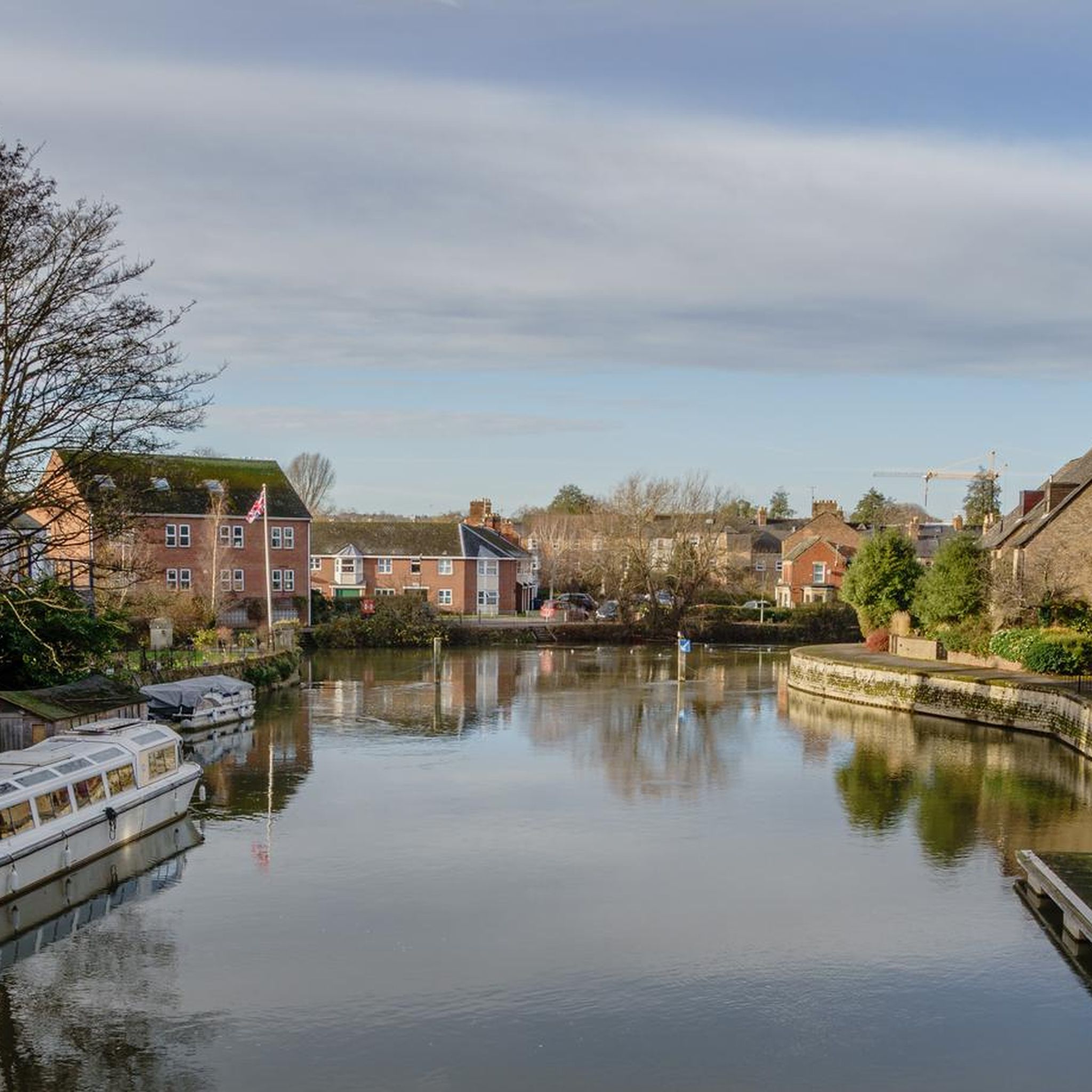
Hikes around Waterperry and Thomley explore the gentle, rolling landscapes of the Oxfordshire countryside. The area is characterized by serene riverbanks along the River Thame, expansive meadows, and sections of woodland like Shabbington Woods. Most routes feature minimal elevation change, making the footpaths near Waterperry and Thomley accessible for a wide range of abilities.
Best hiking trails around Waterperry With Thomley
- The most popular hiking route is The Shotover Oak Stump – Shotover Plain loop from Wheatley, a 5.7 mile (9.1 km) trail that takes about 2 hours 25 minutes to complete. This moderate hike crosses Shotover Plain and features the historic Shotover Oak Stump.
- Another top favourite among local hiking enthusiasts is Shabbington Woods loop from Honeyburge, an easy 3.6 mile (5.9 km) path. The terrain consists of a pleasant walk through the wooded area of Shabbington Woods.
- Local hiking enthusiasts also love the Waterperry Gardens – Waterperry Village loop from Great Milton, a 6.3 mile (10.1 km) trail leading through the area's villages and gardens, often completed in about 2 hours 35 minutes.
- Hiking around Waterperry With Thomley is defined by riverside paths, wildflower meadows, and quiet woodlands. The network of trails offers a variety of circular routes suitable for different fitness levels.
- The routes in Waterperry With Thomley are highly rated by the komoot community with an average score of 4.5 stars from over 450 reviews. More than 4,500 hikers have used komoot to explore Waterperry With Thomley's varied terrain.
Last updated: October 9, 2026
4.5
(2)
30
hikers
8.78km
02:20
90m
90m
Moderate hike. Good fitness required. Easily-accessible paths. Suitable for all skill levels.
4.3
(3)
20
hikers
Easy hike. Great for any fitness level. Easily-accessible paths. Suitable for all skill levels.

4.3
(3)
12
hikers
Easy hike. Great for any fitness level. Easily-accessible paths. Suitable for all skill levels.
4.0
(3)
5
hikers
11.1km
03:03
170m
170m
Moderate hike. Good fitness required. Easily-accessible paths. Suitable for all skill levels.
4.3
(4)
10
hikers
3.76km
01:01
50m
50m
Easy hike. Great for any fitness level. Easily-accessible paths. Suitable for all skill levels.
Get access to more routes and recommendations from other explorers.
Already have an account?
Our route recommendations are based on thousands of hikes, rides, and runs completed by other people on komoot.
Start today with a free account
Your next adventure awaits.
Popular around Waterperry With Thomley


Other adventures around Waterperry With Thomley

Tips from the Community

spring/summer time is beautiful, wear decent shoes. alot of vegetation and uneven paths
0
0

The wood contains about forty species of butterflies making it one of the most important habitats in Britain.
4
0
A most beautiful meadow full of wildflowers, butterflies and wild orchids
1
0

Lovely long flat stretch of running along the Shotover Plain, accompanied by soaring views across the Oxfordshire countryside.
0
0

A local Oxford favourite. Not far from the city and an easy ride out. Perfect for a quick loop from town if you're short on time.
0
0

Shotover Country Park is a beautiful greenspace to the east of Oxford; perfect for hiking and summer picnics. This area is a Site of Special Scientific Interest (SSSI) for its important wildlife habitats, so follow any guidance you see on signs. Free to use, the plain and parkland are home to some incredible views of Oxford's many spires.
0
0

Either start at the top for a downhill to horspath or steep uphill and down towards Wheatley.
0
0

great little wood on the outskirts of oxford
0
0
Frequently Asked Questions
How many hiking trails are there around Waterperry and Thomley?
There are over 290 hiking routes to explore in the region. The trails range from short, easy strolls to more challenging long-distance paths, offering plenty of options for all abilities.
What is the general difficulty of the hikes in this area?
The majority of hikes around Waterperry and Thomley are rated as easy or moderate. The landscape consists of gentle, rolling countryside with minimal elevation change, making it very accessible. There are a small number of difficult, longer-distance trails for those seeking a greater challenge.
Are there any family-friendly or pushchair-suitable walks?
Yes, the area is well-suited for family outings. The walk from Waterperry to Waterstock is a particularly good option as it follows a path suitable for pushchairs, passing meadows and an old water mill. The grounds of Waterperry Gardens also offer accessible paths and a play area for children.
Can I take my dog on walks near Waterperry and Thomley?
Dog walking is popular in the area, and dogs are welcome on most public footpaths. However, you will be walking through countryside with farmland and sensitive wildlife habitats. Please keep your dog under close control, especially near livestock, and on a lead where required.
What are the best walks for seeing wildflowers?
For wildflower enthusiasts, the Beathwood Butterfly Trail – Bernwood Meadow Wildflowers loop from Honeyburge is an excellent choice. The meadows here are known for their rich biodiversity. The riverside paths along the River Thame are also lovely in spring when snowdrops, daffodils, and fritillaries are in bloom.
Are there any circular walks available?
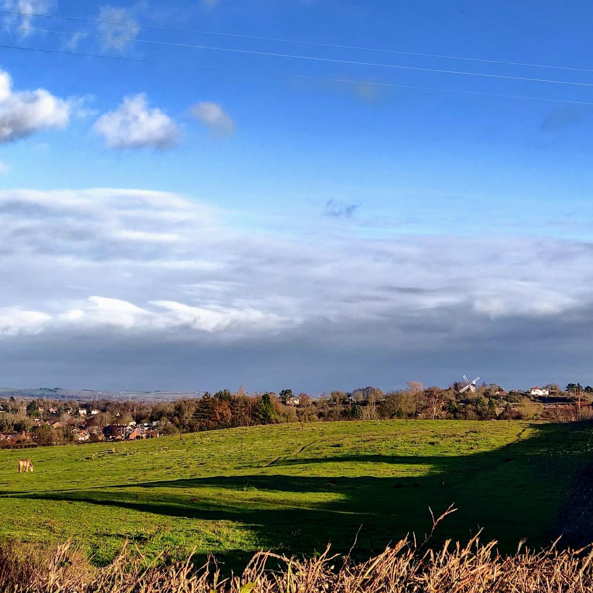
Yes, circular walks are very common in the region. You can find loops of varying lengths, from short strolls around villages to longer countryside hikes. A great example is the Shotover Plain – Wheatley Windmill loop from Wheatley, which offers varied scenery including the historic windmill.
What kind of wildlife might I see while hiking?
The area's diverse habitats support a variety of wildlife. Along the River Thame, you might spot kingfishers, swans, and otters. The woodlands and meadows are home to numerous bird species and butterflies, particularly in areas like Bernwood Meadow and Shabbington Woods.
Where can I find a good pub on a walk near Waterperry?
Many walking routes pass through or near charming villages with traditional pubs. The village of Great Milton, for example, is a starting point for several hikes and has options for refreshments. It's always a good idea to check opening times in advance, especially if you're planning a stop mid-hike.
Is it possible to walk through Waterperry Gardens?
While the renowned ornamental gardens at Waterperry Gardens require an entrance fee, several public footpaths run through the wider estate for free. These trails offer lovely views and connect to the surrounding countryside, making it a popular starting point for many local walks.
Where can I park to start a hike?
Parking is available at several key locations. Waterperry Gardens has a large car park (a fee may apply for garden entry) and is a convenient starting point. For other routes, you can often find on-street parking in villages like Wheatley or Great Milton, but please park considerately.
What do other hikers enjoy most about this region?
The komoot community rates the hikes here very highly. Reviewers frequently praise the serene riverside paths along the River Thame, the beautiful wildflower meadows, and the quiet, well-maintained woodland trails. The mix of natural scenery and historic village charm is a consistent highlight.
Most popular routes around Waterperry With Thomley
Most popular attractions around Waterperry With Thomley

Get inspired with the komoot mobile app


Explore more
Browse the best Hikes in other regions.
