The best mountain hikes around Feld am See
4.8
(50)
556
hikers
28
hikes
Mountaineering routes around Feld am See are situated in Austria's Nockberge mountains, characterized by gently undulating Alps and prominent peaks such as the Mirnock massif (2,110 meters) and Wöllaner Nock (2,145 meters). The region features a diverse landscape of alpine meadows, forested slopes, and is bordered by the Brennsee and Afritzer See lakes. This setting provides varied terrain for mountaineering, ranging from challenging summit ascents to routes through the Nockberge Biosphere Reserve.
Best mountaineering routes around Feld am See
- The most popular mountaineering route is Berggasthof Renate's Stopover – Mirnock Summit loop from Yogaplatz Millstätter See, a 6.2 miles (9.9 km) trail that takes 5 hours 16 minutes to complete. This difficult route features significant elevation gain towards the Mirnock summit.
- Another top favourite among local mountaineers is Kaiserburg Summit Cross – View of Kaiserburg loop from Halter Hütte, a difficult 6.8 miles (10.9 km) path. This route offers views towards the Kaiserburg Summit Cross and takes approximately 4 hours 3 minutes.
- Local mountaineers also love the View of the Rinderlache – Mirnock Summit loop from Melzerhütte, a 5.2 miles (8.3 km) trail leading through alpine terrain, often completed in about 3 hours 46 minutes.
- Mountaineering around Feld am See is defined by the Nockberge mountains, the Mirnock massif, and alpine meadows. The network offers options for different ability levels, from demanding alpine tours to routes with moderate elevation changes.
- The routes in Feld am See are highly rated by the komoot community with an average score of 4.8 stars from over 50 reviews. More than 600 mountaineers have used komoot to explore Feld am See's varied terrain.
Last updated: June 25, 2026
22
hikers
Hard mountaineering route. Very good fitness required. Mostly accessible paths. Sure-footedness required.
5.0
(1)
12
hikers
Hard mountaineering route. Good fitness required. Sure-footedness, sturdy shoes and alpine experience required.

Sign up for free
5.0
(1)
12
hikers
8.11km
03:42
500m
500m
Hard mountaineering route. Good fitness required. Sure-footedness, sturdy shoes and alpine experience required.
9
hikers
Hard mountaineering route. Good fitness required. Sure-footedness, sturdy shoes and alpine experience required.
5.0
(2)
8
hikers
5.60km
02:54
490m
490m
Moderate mountaineering route. Good fitness required. Mostly accessible paths. Sure-footedness required.
Get access to more routes and recommendations from other explorers.
Sign up for free
Already have an account?
Our route recommendations are based on thousands of hikes, rides, and runs completed by other people on komoot.
Start today with a free account
Your next adventure awaits.
Login or Signup
Popular around Feld am See
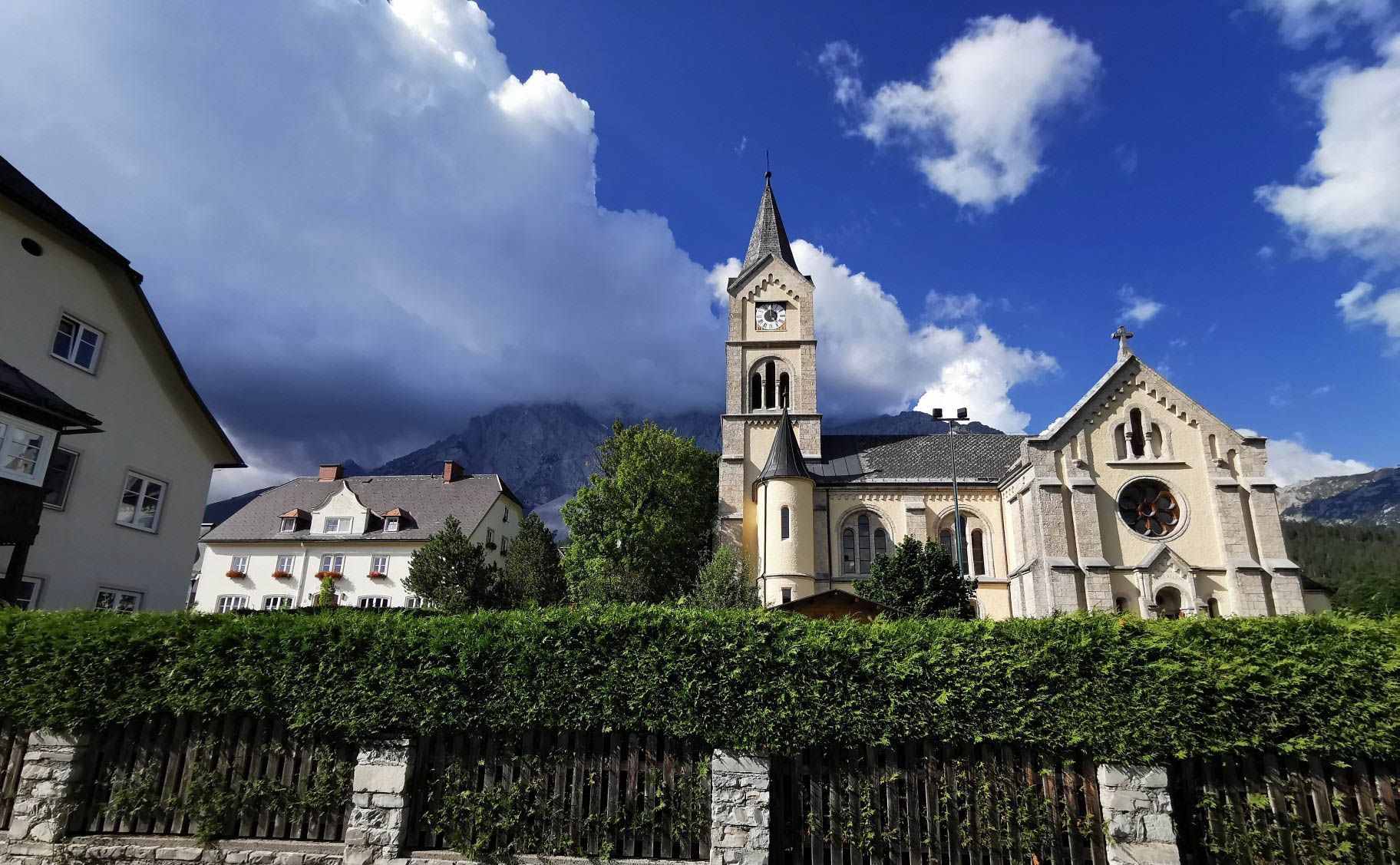
Way of the Book – Hike in the footsteps of the Bible smugglers in Austria
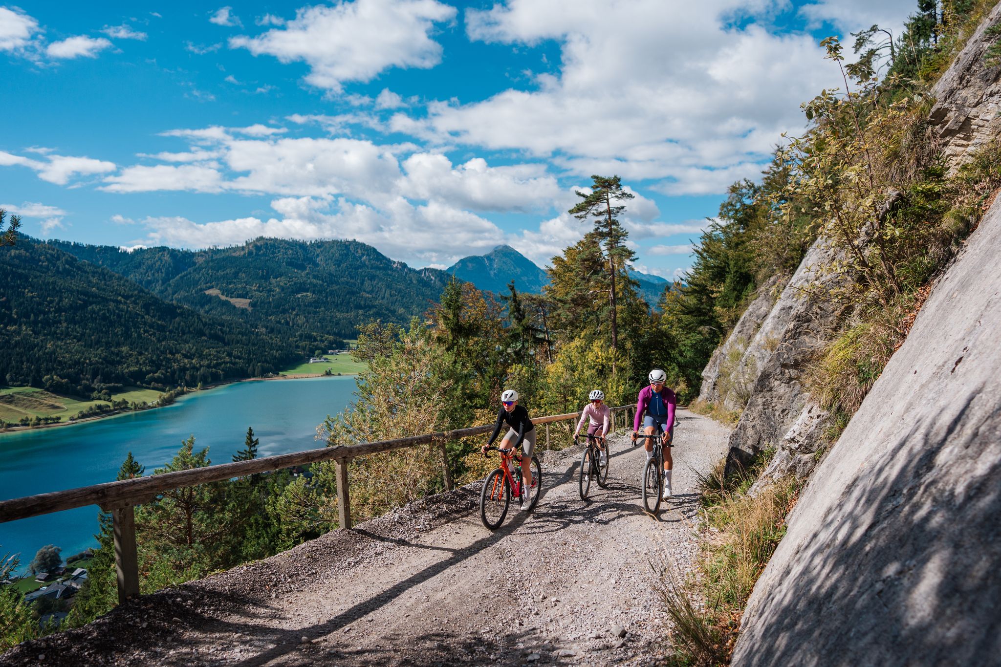
Gravel Carinthia
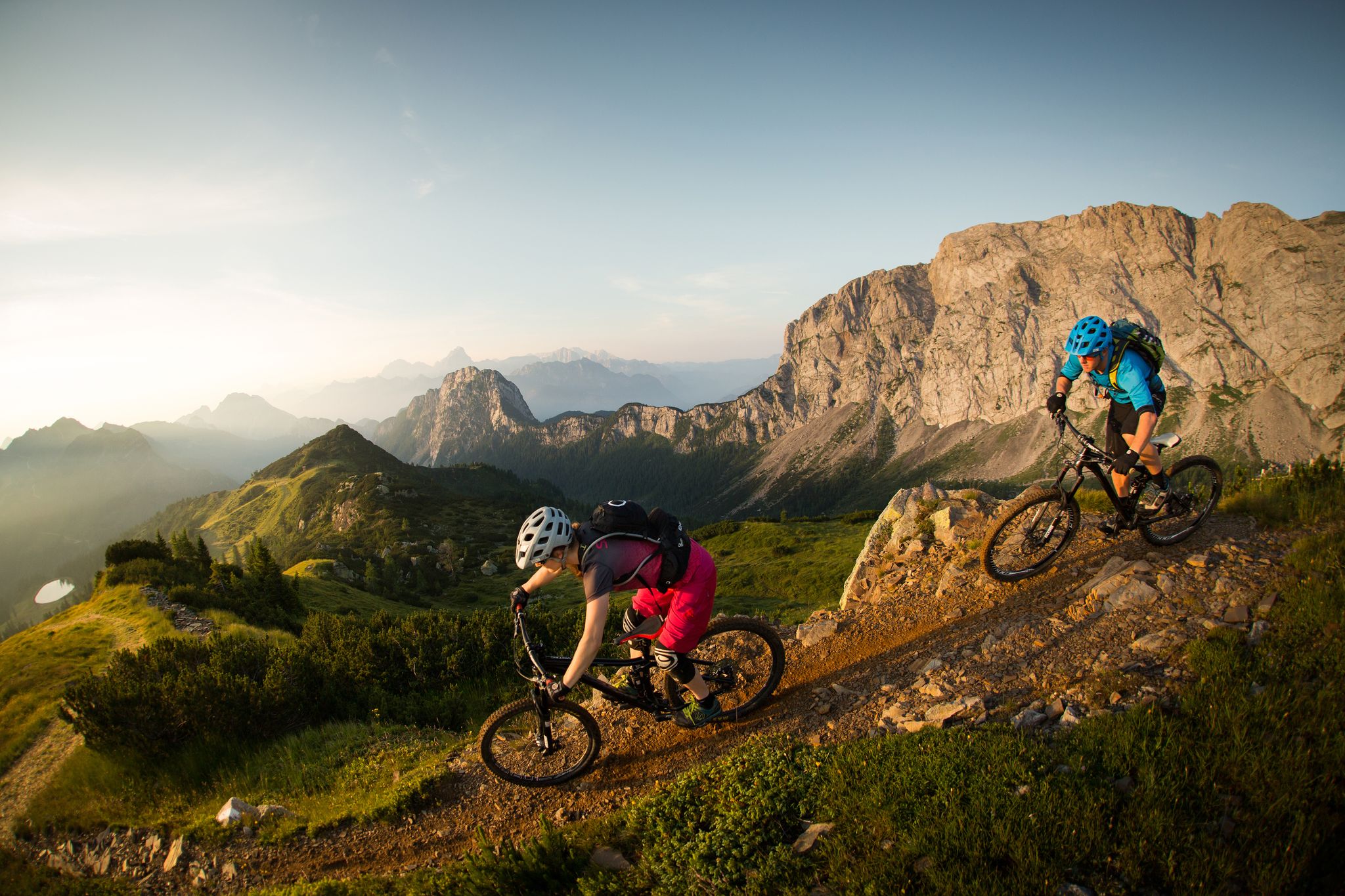
Flow as an attitude to life – 5 Flow Trails Carinthia in south Austria
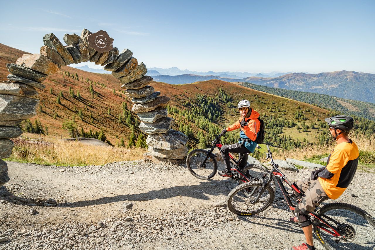
Europe's longest Flow Country Trail – spectacular MTB trails
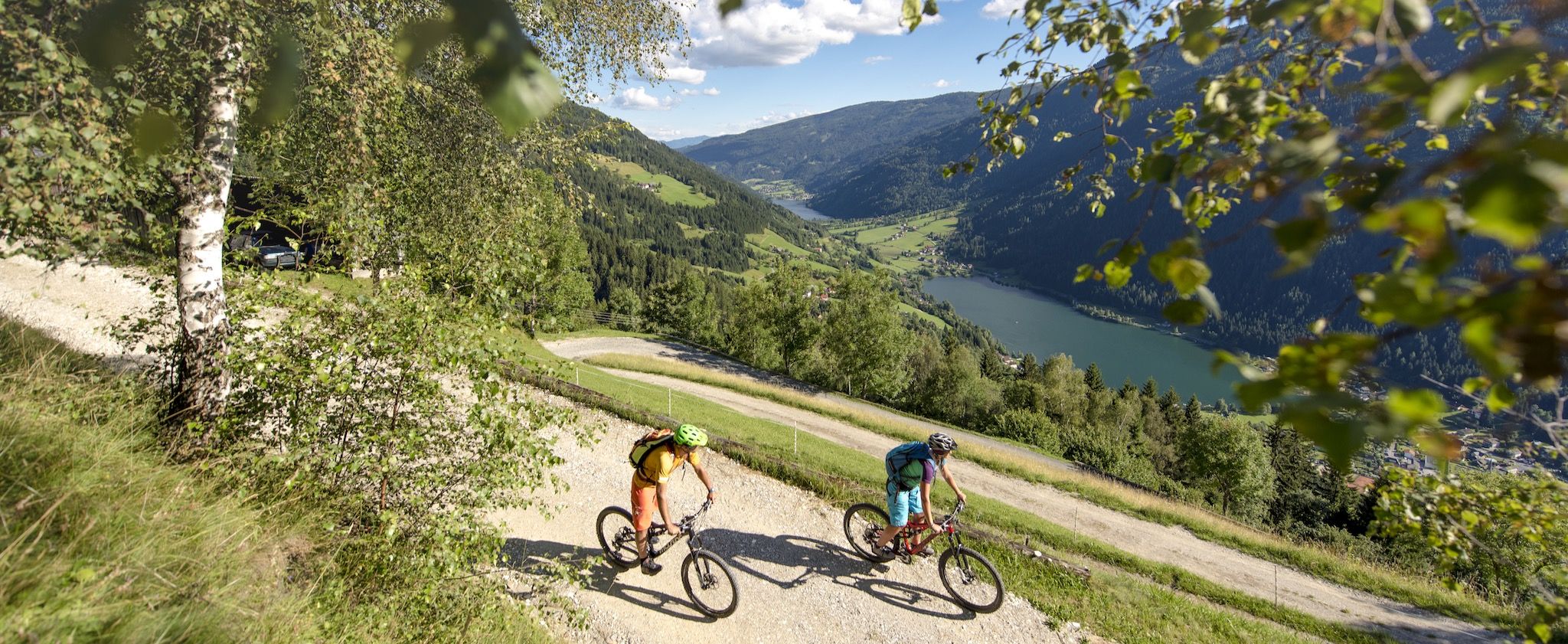
From the summit to the lake — bike trails around Bad Kleinkirchheim
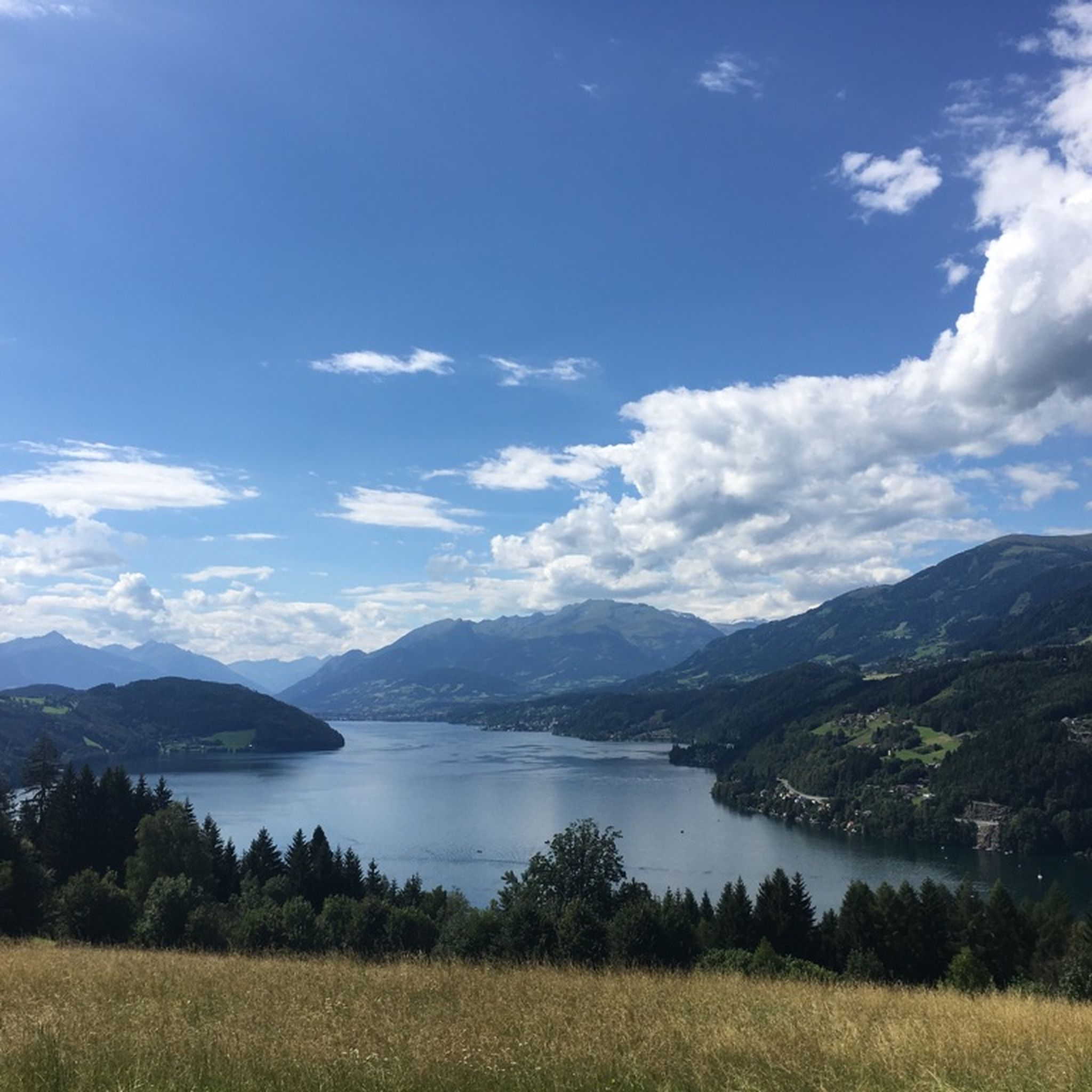
MTB Trails around Feld am See
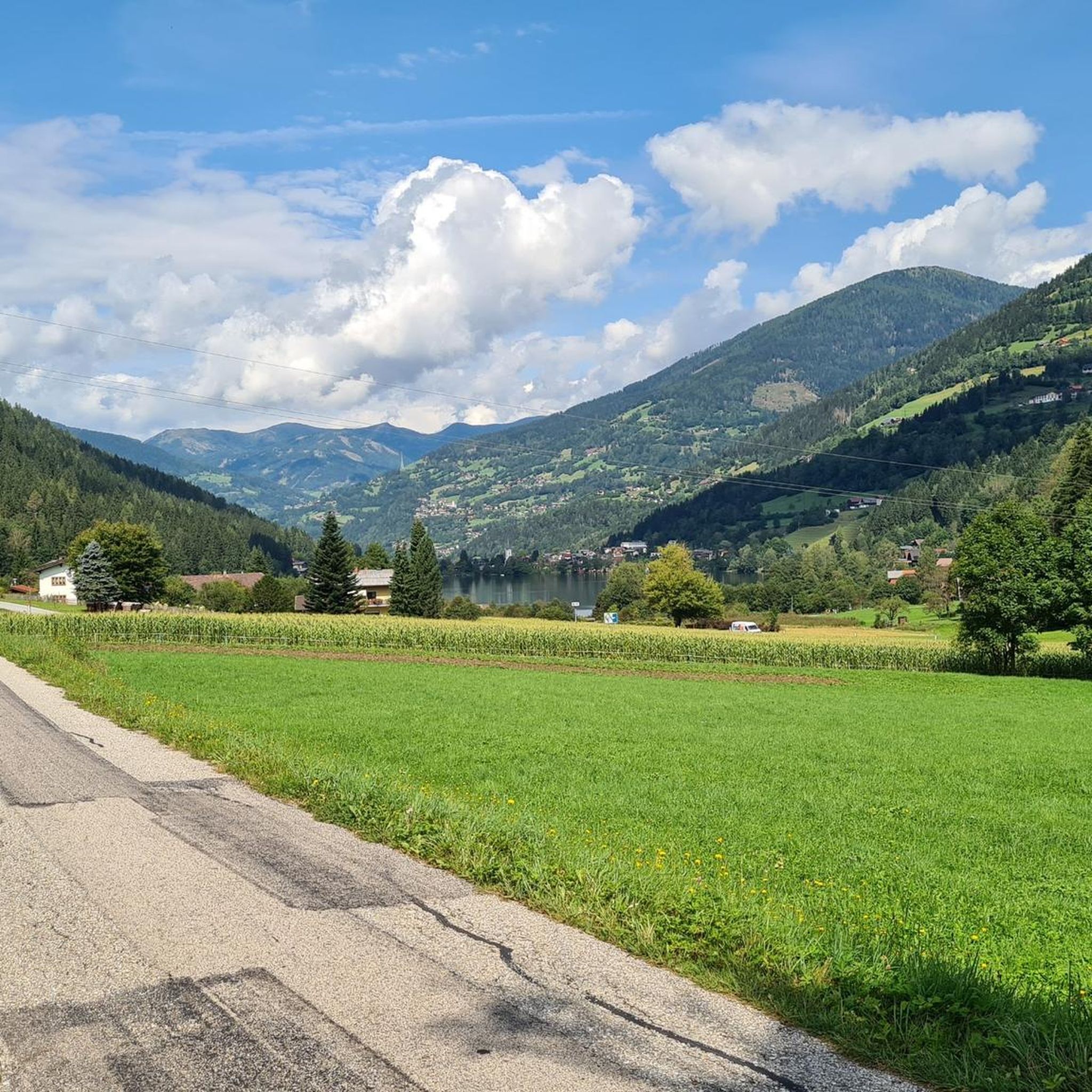
Hiking around Feld am See
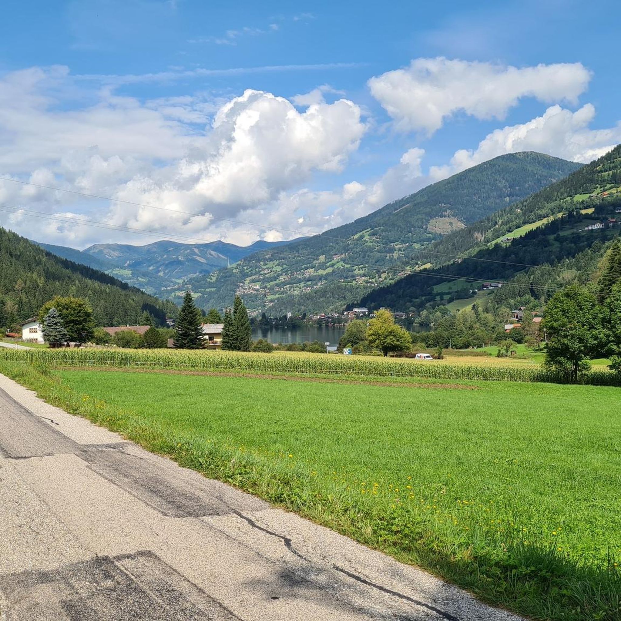
Road Cycling Routes around Feld am See
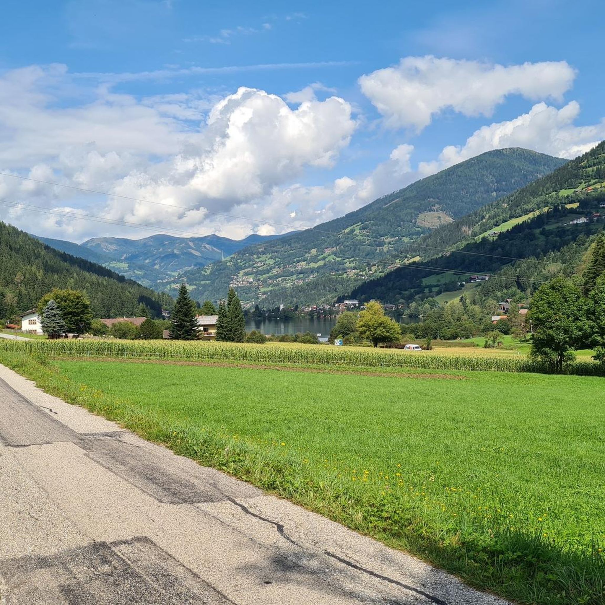
Cycling around Feld am See
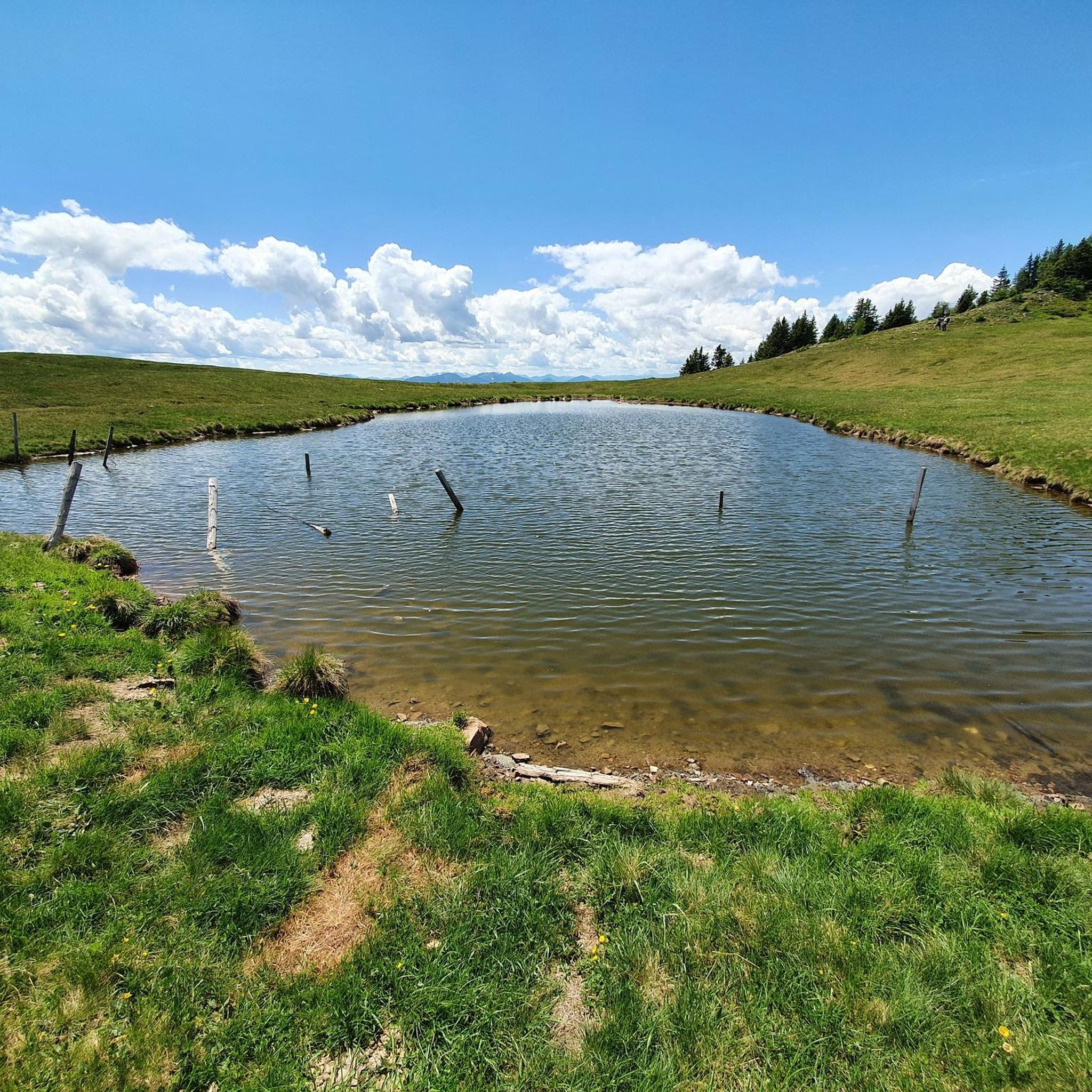
Running Trails around Feld am See
Other adventures around Feld am See


Tips from the Community

I enjoyed the climb and the view makes up for the effort.
1
0

The path is not too steep for beginners
1
0

Many beautiful mountain flowers, ideal for observing nature here 🦋🦗🐝🌞
0
0

We take the toll road (5€) from Afritz to the Wieseralm. From there we start this beautiful circular hike to the world mountain Mirnock. We briefly follow a road to the west towards the Hochalmhütte. At a fork in the road we decide on the shorter option and turn left. It goes comfortably up through the forest. Later the forest thins out and we enter wide pastures. After a good hour and a half we reach the summit cross of the Mirnock. We enjoy the deep view of Lake Millstatt. For the descent we follow the gentle ridge of the Mirnock towards Rindernock. At the small lake at its foot, wooden loungers tempt us to take another rest. Here we turn left and descend to the Wieser Alm.
4
0

Attention: An incorrect address is stored when navigating. If you want to go from the Wieser Alm to the Mirnock, Rindernock, etc., please search for "Lierzbergerstraße". The entrance is at the southern end of the Afritzer See (Camping Glinzner, Bodner, old people's and nursing home, Afritzer lido,...) From the address Wiesenweg 24, 9544 Feld am See you can only get to the Mirnock on foot, a total of around 1300 meters in altitude! From the Wieser Alm it is around 600 meters in altitude.
2
0

Verditz ski area The Verditz ski area was located in the Amberger Alm area. A chairlift with three sections led from the Gegendtal (668 m) to the Kammhöhe (1832 m). About halfway up the first chairlift you could get off at a summer toboggan run. The mountain railways stopped operating in 2012.
2
0
The Mirnock is an isolated mountain massif in Carinthia, 2,110 m above sea level. It is part of the Nockberge and lies between the lower Drau valley in the southwest, Lake Millstatt in the west, the Gegendtal in the northeast and the Krastal in the southeast. The village of Radenthein borders it to the north, and the formerly independent municipality of Mooswald lay entirely on the broad western and southwestern flank of the mountain. The ridge of the mountain massif also has two smaller elevations, the Palnock (1,901 m) and the Amberger Alpe (1,831 m). The Mirnock's great prominence is remarkable, with a ridge height of 1,343 meters.
2
1

It's quite easy to climb from the cable car station, which is why it's relatively busy. Typical panoramic mountain
4
0
Frequently Asked Questions
How many mountaineering routes are available around Feld am See?
There are over 25 mountaineering routes around Feld am See, offering a diverse range of experiences. You'll find options from moderate ascents to more challenging alpine tours, primarily within the Nockberge mountains and around prominent peaks like the Mirnock massif and Wöllaner Nock.
What kind of terrain can I expect on mountaineering routes near Feld am See?
The terrain around Feld am See is characterized by the gently undulating Alps of the Nockberge mountains, alpine meadows, and forested slopes. You'll encounter varied paths, from well-maintained trails to more rugged sections on summit ascents, particularly on routes leading to the Mirnock or Wöllaner Nock.
Are there mountaineering routes suitable for beginners in Feld am See?
While many routes are rated as difficult, there are also moderate options that can be suitable for beginners with good basic fitness. The region caters to a range of abilities, offering paths that allow you to experience the alpine environment without requiring extensive mountaineering experience. Always check the route details for elevation gain and technical difficulty before you set out.
What are some challenging mountaineering routes in the Feld am See area?
For those seeking a challenge, the Berggasthof Renate's Stopover – Mirnock Summit loop from Yogaplatz Millstätter See is a difficult route with significant elevation gain. Another demanding option is the Kaiserburg Summit Cross – View of Kaiserburg loop from Halter Hütte, which offers expansive views. These routes require good fitness, sure-footedness, and sturdy footwear.
What is the best time of year for mountaineering in Feld am See?
Spring and autumn are often highlighted as the best seasons for mountaineering in Feld am See, offering pleasant temperatures, blooming nature, or vibrant fall foliage. Summer also provides good conditions, though it can be busier. Always check local weather forecasts and trail conditions, especially for higher elevations.
Are there dog-friendly mountaineering trails around Feld am See?
Many trails in the Feld am See region are dog-friendly, allowing you to explore the Nockberge mountains with your canine companion. It's always recommended to keep dogs on a leash, especially in alpine pastures where livestock may be present, and to carry water for them. Specific regulations can vary, so checking with local information points is advisable.
Are there family-friendly options for mountain walks near Feld am See?
Yes, while many routes are geared towards mountaineering, the broader Nockberge Biosphere Reserve offers a network of trails suitable for families. These often include more leisurely walks through alpine meadows or around the lakes. For specific family-friendly mountain walks, look for routes with moderate elevation changes and shorter distances.
Can I find circular mountaineering routes in Feld am See?
Yes, circular routes are a popular way to experience the diverse landscapes around Feld am See. For example, the Mirnock Summit loop from Yogaplatz Millstätter See and the Mirnock Summit loop from Melzerhütte are excellent circular options that bring you back to your starting point after a rewarding ascent.
What scenic viewpoints or landmarks can I discover along the mountaineering routes?
Along the mountaineering routes, you can encounter several notable landmarks and viewpoints. The Stana Mandl Cairn on Lammersdorfer Mountain offers a unique sight, and the Granattor Monument provides stunning panoramic views. The Millstätter Alpe Plateau is also a fantastic viewpoint to include in your tour.
Is parking available at the trailheads for mountaineering routes?
Parking is generally available at common starting points for mountaineering routes around Feld am See, such as near the Feldpannalm or other designated trailheads. Some areas, like the Feldpannalm, may be accessed via a toll road. It's always a good idea to check specific route descriptions for parking information.
Can I access mountaineering trails around Feld am See using public transport?
While some trailheads might be accessible by local bus services, direct public transport access to all mountaineering starting points can be limited. The Nockalmstraße, a panoramic road, provides access to various trails, but public transport options directly to remote trailheads might require some planning. Checking local bus schedules and routes is recommended.
Are there any permits required for mountaineering in Feld am See?
Generally, no specific permits are required for hiking and mountaineering on marked trails in the Nockberge Biosphere Reserve around Feld am See. However, always respect private property, follow local regulations, and be mindful of any specific rules for protected areas or alpine pastures.
What do other mountaineers enjoy the most about mountaineering in Feld am See?
The mountaineering routes in Feld am See are highly rated by the komoot community, with an average score of 4.8 stars from over 50 reviews. Mountaineers often praise the stunning views from peaks like Mirnock and Wöllaner Nock, the diverse terrain ranging from alpine meadows to forested paths, and the well-maintained trails that make exploring the Nockberge mountains a rewarding experience.
Most popular routes around Feld am See
Most popular attractions around Feld am See

Get inspired with the komoot mobile app


Explore more
Browse the best Mountain Hikes & Routes in other regions.
