The best mountain hikes around Arriach
4.8
(39)
496
hikers
25
hikes
Mountaineering around Arriach offers diverse terrain within the Gerlitzen mountain area, characterized by significant elevation changes and panoramic views. The region features a mix of forested slopes, alpine meadows, and prominent peaks. These routes provide opportunities to explore the natural landscape of the Villach-Land district.
Best mountaineering routes around Arriach
- The most popular mountaineering route is Gerlitzen Mountain Area – Huaba Hittn loop from Innerteuchen, a 10.2 miles (16.4 km) trail that takes 5 hours 40 minutes to complete, traversing varied mountain terrain.
- Another top favourite among local mountaineers is Hüttersteig loop from Skischullift Lodron II, a difficult 6.4 miles (10.3 km) path, known for its challenging ascent and rewarding views.
- Local mountaineers also love the Kaiserburg Summit Cross – View of Kaiserburg loop from Halter Hütte, a 6.8 miles (10.9 km) trail leading through high alpine landscapes to a summit cross, often completed in about 4 hours 3 minutes.
- Mountaineering around Arriach is defined by prominent mountain peaks, forested ascents, and expansive views, with options ranging from moderate to challenging routes. The network offers options for different ability levels, including beginner mountaineering Arriach options.
- The routes in Arriach are highly rated by the komoot community with an average score of 4.8 stars from over 40 reviews. More than 500 mountaineers have used komoot to explore Arriach's varied terrain.
Last updated: September 28, 2026
34
hikers
16.3km
05:38
910m
910m
Hard mountaineering route. Very good fitness required. Easily-accessible paths. Suitable for all skill levels.
5.0
(1)
23
hikers
10.3km
05:34
980m
980m
Hard mountaineering route. Very good fitness required. Sure-footedness, sturdy shoes and alpine experience required.

5.0
(1)
10
hikers
Hard mountaineering route. Good fitness required. Sure-footedness, sturdy shoes and alpine experience required.
8
hikers
Hard mountaineering route. Good fitness required. Sure-footedness, sturdy shoes and alpine experience required.
5
hikers
Moderate mountaineering route. Good fitness required. Mostly accessible paths. Sure-footedness required.
Get access to more routes and recommendations from other explorers.
Already have an account?
Our route recommendations are based on thousands of hikes, rides, and runs completed by other people on komoot.
Start today with a free account
Your next adventure awaits.
Popular around Arriach
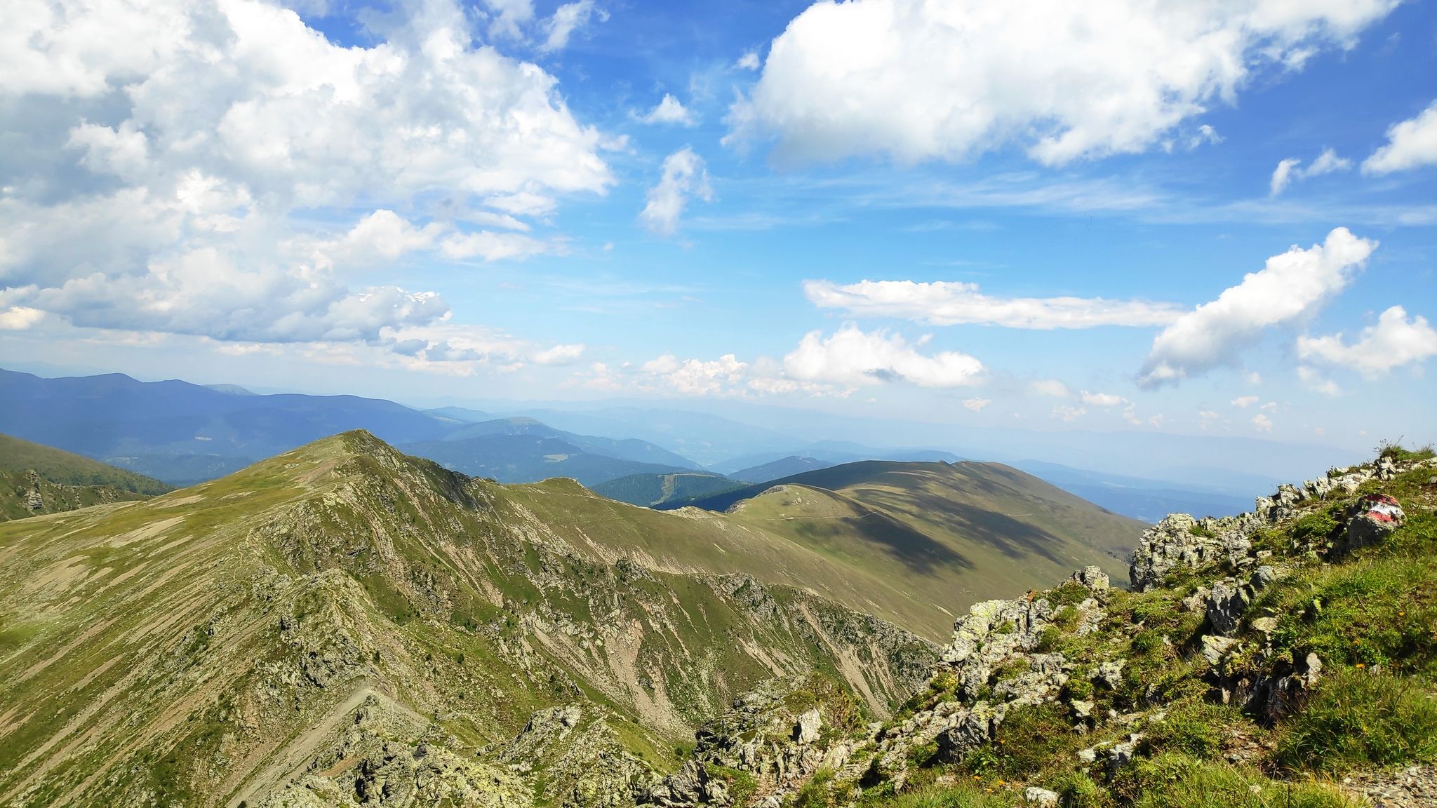
Austria's Salt Trail — On old paths through Carinthia
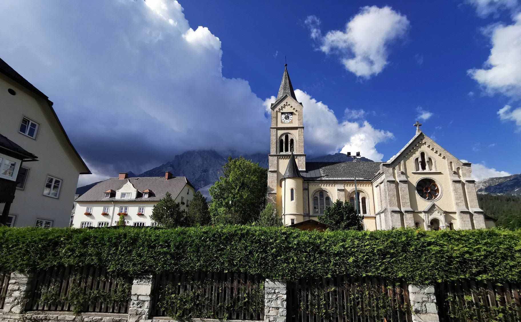
Way of the Book – Hike in the footsteps of the Bible smugglers in Austria

Alpe-Adria-Trail: My long-distance hike from the glacier to the sea
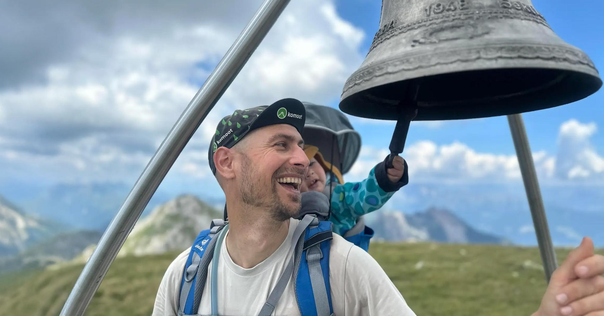
Summit hikes for families – discovery routes with a view in Carinthia
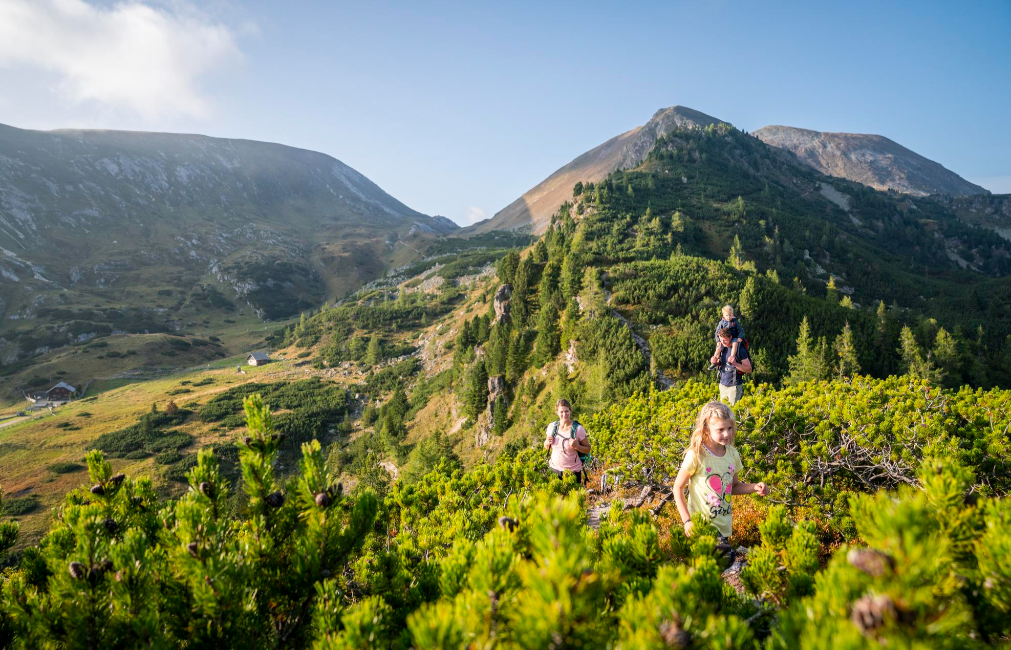
Joyous adventures experienced together – family hiking in Carinthia
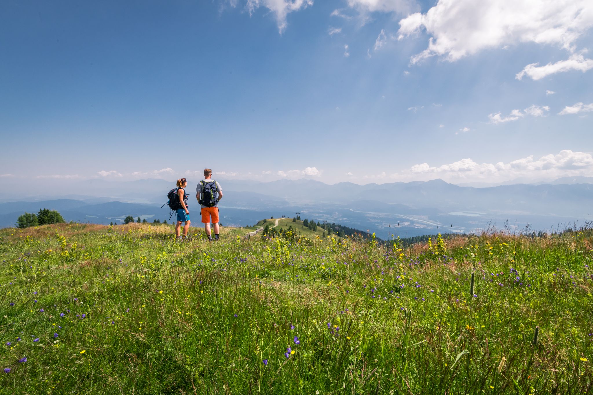
On the move on easy hiking trails and gentle paths in Austria
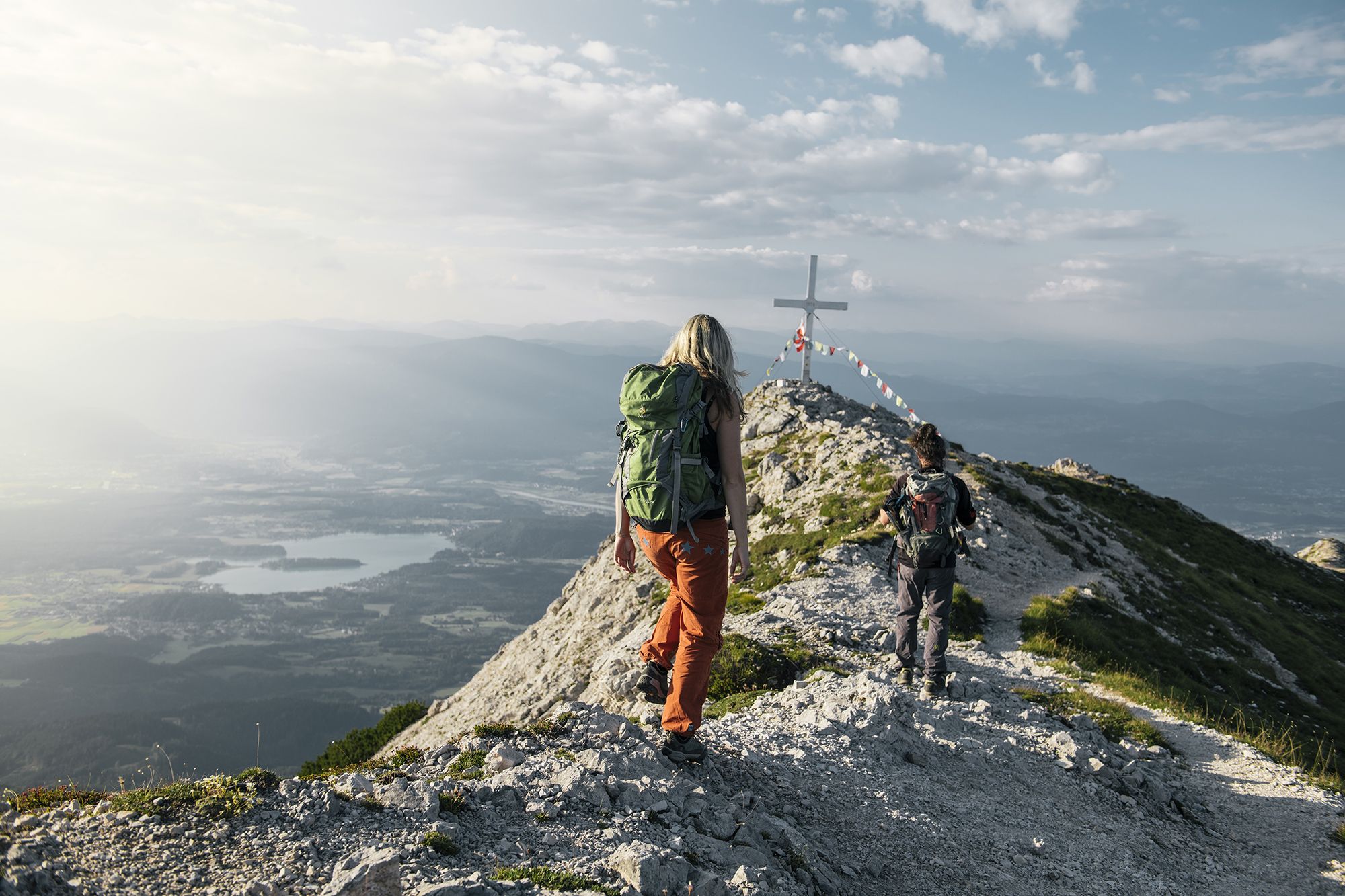
Hike to the most beautiful views around Villach in Austria

From the Grossglockner to the sea on the Alpe Adria Trail
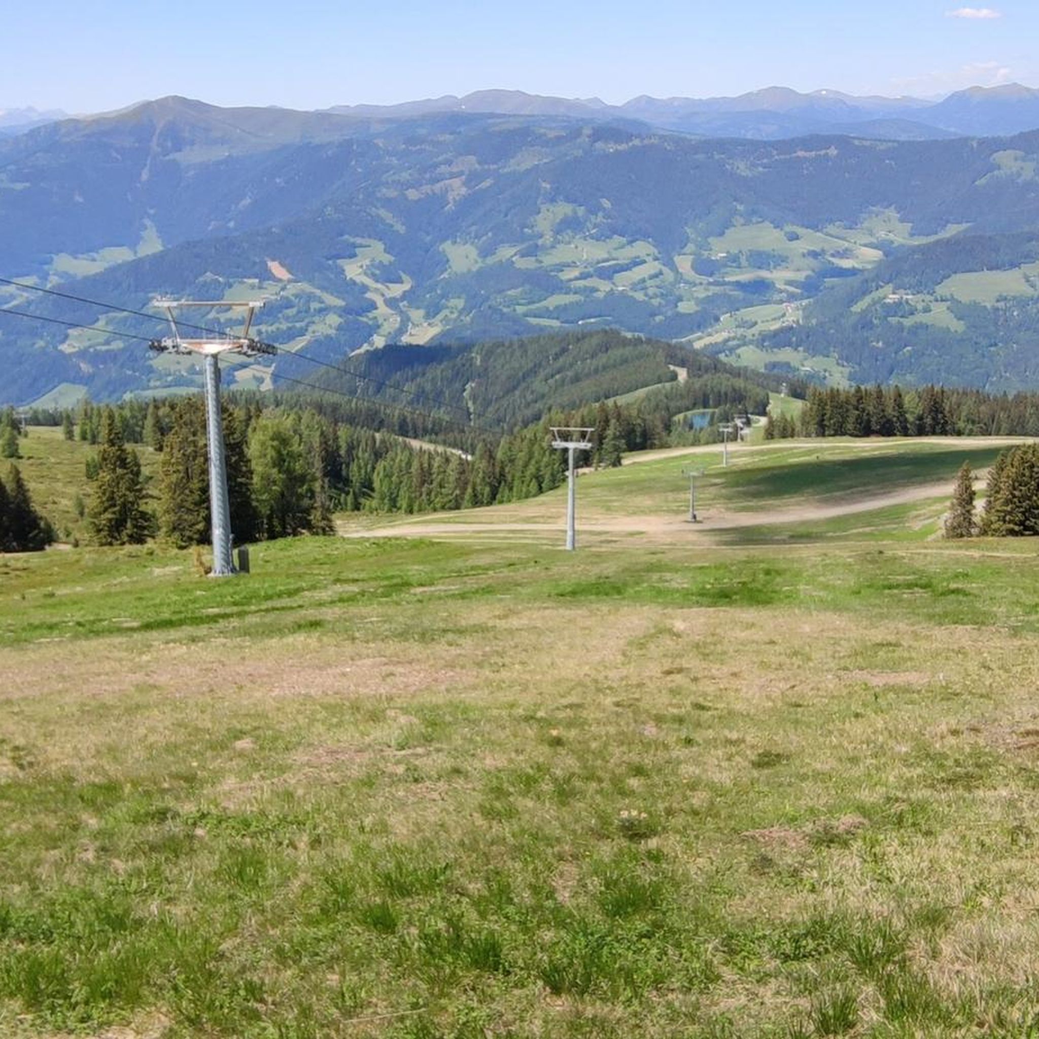
Hiking around Arriach
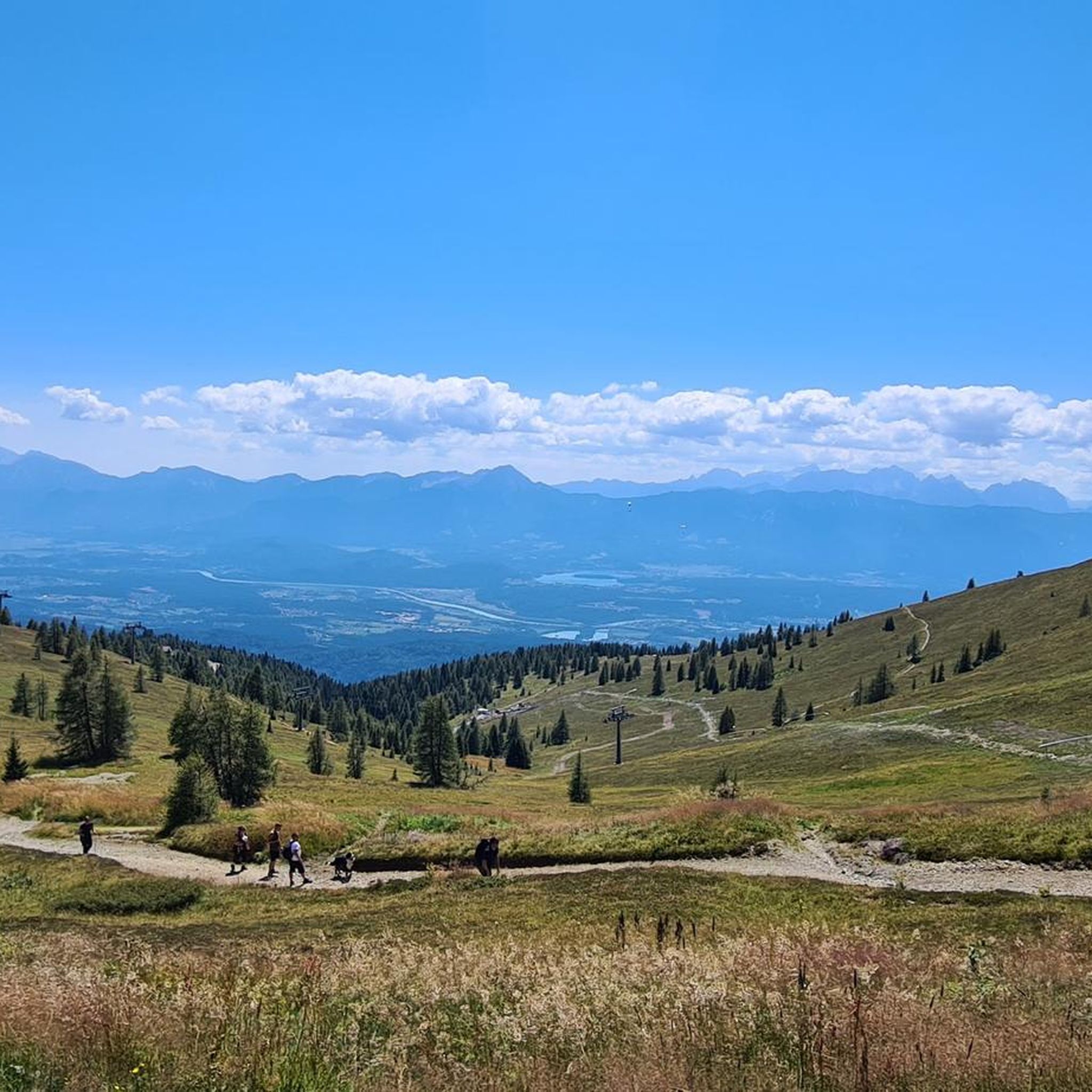
Road Cycling Routes around Arriach
Other adventures around Arriach


Tips from the Community


The Kaiserburg summit (2,059 m) is located just above the Kaiserburgbahn and offers a great all-round view of the surrounding mountains. In clear weather, you can even spot the Großglockner. Below the summit, you will find a cave that has always captured people's imagination. It is said that a long time ago, two gate-like openings led deep into the dark mountain to a treasure. Today, in these places, there are only narrow caves, the access to which seems impossible.
2
0

This is now permanently closed. There are still signs on the routes nearby, but don't get fooled by them as there is not active establishment anymore.
1
0

…an easily accessible path to the Kanzelhöhe 🥾
2
0

Many beautiful mountain flowers, ideal for observing nature here 🦋🦗🐝🌞
0
0


...culinary highlight on the Gerlitzen! An absolute must!! Unfortunately only open in the winter season!!
3
0
Frequently Asked Questions
How many mountaineering routes are available around Arriach?
Arriach offers a wide selection of mountaineering routes, with over 25 tours available for exploration. These routes cater to various skill levels, from moderate to difficult.
Are there any easy or beginner-friendly mountaineering routes in Arriach?
While many routes in Arriach are moderate to difficult, the region does offer options suitable for beginners. These routes typically feature less extreme elevation changes and shorter distances, allowing new mountaineers to experience the area's beauty comfortably.
What are some challenging mountaineering routes in the Arriach area?
For those seeking a challenge, Arriach has several demanding routes. One such option is the Hüttersteig loop from Skischullift Lodron II, a difficult 6.4-mile (10.3 km) path known for its significant ascent and rewarding views. Another is the Gerlitzen Mountain Area – Huaba Hittn loop from Innerteuchen, a 10.2-mile (16.4 km) difficult trail traversing varied mountain terrain.
What is the best time of year for mountaineering in Arriach?
The prime season for mountaineering in Arriach typically runs from late spring through early autumn (May to October). During these months, the weather is generally more stable, trails are clear of snow, and alpine meadows are in full bloom, offering the best conditions for exploring the Gerlitzen mountain area.
Are there circular mountaineering routes around Arriach?
Yes, many of the mountaineering routes in Arriach are designed as loops, allowing you to start and finish at the same point. For example, the Kaiserburg Summit Cross – View of Kaiserburg loop from Halter Hütte is a popular circular trail leading through high alpine landscapes.
What kind of views can I expect on mountaineering routes in Arriach?
Mountaineering around Arriach offers panoramic views of the Gerlitzen mountain area. You can expect to see a mix of forested slopes, expansive alpine meadows, and prominent peaks, providing diverse and scenic vistas throughout your journey.
What do other mountaineers say about the routes in Arriach?
The mountaineering routes in Arriach are highly regarded by the komoot community, boasting an average rating of 4.8 stars from over 40 reviews. Users frequently praise the varied terrain, well-maintained paths, and the stunning panoramic views from the peaks.
Are there any interesting landmarks or attractions near the mountaineering routes?
Yes, the region around Arriach offers several points of interest. You might encounter facilities like the Kaiserburg Mountain Station or the Kanzelbahn Mountain Station. For historical interest, the area also features several castles, including the Landskron Castle Ruins and Aichelberg Castle Ruins, which can be explored separately or as part of a longer trip to the region.
Are there any cafes or refreshment stops near the mountaineering trails?
While specific cafes directly on every trail are not guaranteed, many routes in the Gerlitzen area, especially those starting or ending near mountain stations or villages, will have opportunities for refreshments. It's always advisable to carry sufficient water and snacks, but you can often find mountain huts or restaurants in accessible locations.
What should I wear for mountaineering in Arriach?
Given the significant elevation changes and varied terrain in the Gerlitzen mountain area, it's essential to wear appropriate gear. This includes sturdy hiking boots with good ankle support, layered clothing to adapt to changing weather conditions, waterproof outer layers, and sun protection. Always check the local weather forecast before heading out.
Are there any routes that use cable cars or lifts?
Yes, some routes in the Arriach area integrate with the local lift infrastructure. For instance, the Gerlitzen Kanzelbahn cable car – Kanzelbahn Mountain Station loop from Skischullift Lodron II offers a mountaineering experience that can be accessed or shortened using the Kanzelbahn cable car, providing a different way to experience the mountain.
Most popular routes around Arriach
Most popular attractions around Arriach

Get inspired with the komoot mobile app


Explore more
Browse the best Mountain Hikes & Routes in other regions.
