The best mountain hikes around Sankt Georgen im Lavanttal
4.9
(6)
170
hikers
9
hikes
Mountaineering routes around Sankt Georgen im Lavanttal are situated in the scenic Lavant River valley in eastern Austria. The region is characterized by the prominent Koralpe Mountain Range and diverse alpine terrain, including the Großer Speickkogel, which reaches 2,140 meters. This landscape offers a variety of experiences, from gentle hills and green meadows to more challenging mountain ascents.
Best mountaineering routes around Sankt Georgen im Lavanttal
- The most popular mountaineering route is Cattle Pasture – Großer Speikkogel Summit loop from…
Last updated: July 9, 2026
4.7
(3)
55
hikers
11.2km
03:53
640m
640m
Moderate mountaineering route. Good fitness required. Mostly accessible paths. Sure-footedness required.
33
hikers
14.1km
05:02
710m
700m
Hard mountaineering route. Very good fitness required. Mostly accessible paths. Sure-footedness required.

Sign up for free
32
hikers
15.4km
05:23
640m
640m
Hard mountaineering route. Very good fitness required. Sure-footedness, sturdy shoes and alpine experience required.
5.0
(2)
19
hikers
12.8km
04:28
590m
590m
Moderate mountaineering route. Good fitness required. Mostly accessible paths. Sure-footedness required.
15
hikers
7.81km
02:47
480m
480m
Moderate mountaineering route. Good fitness required. Easily-accessible paths. Suitable for all skill levels.
Get access to more routes and recommendations from other explorers.
Sign up for free
Already have an account?
Our route recommendations are based on thousands of hikes, rides, and runs completed by other people on komoot.
Start today with a free account
Your next adventure awaits.
Login or Signup
Popular around Sankt Georgen im Lavanttal

Magnificent mountain biking on Austria's alpine pastures
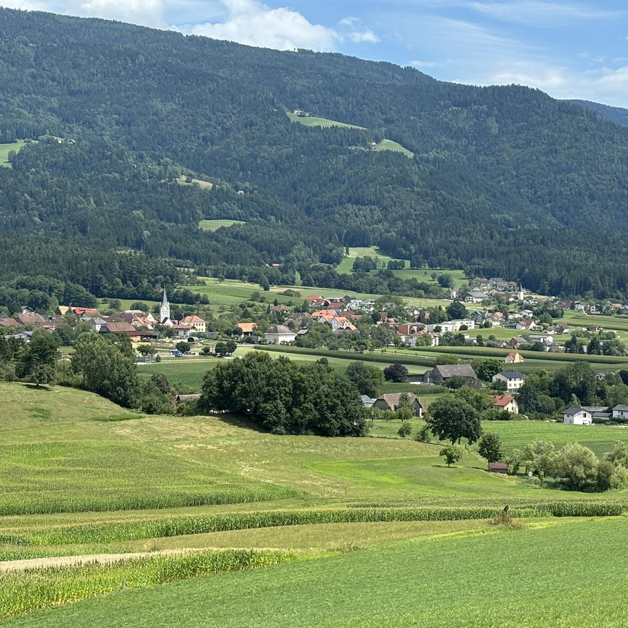
Cycling around Sankt Georgen im Lavanttal
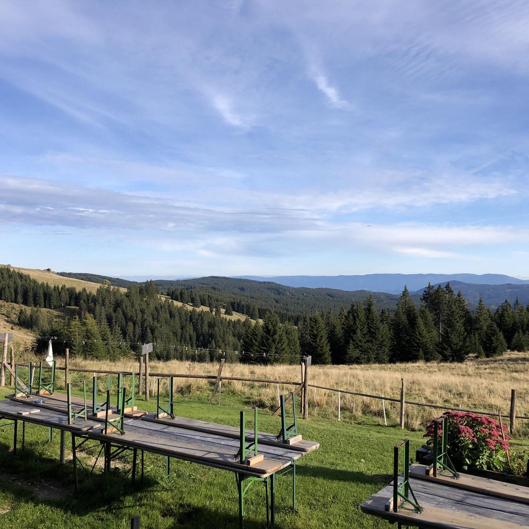
MTB Trails around Sankt Georgen im Lavanttal
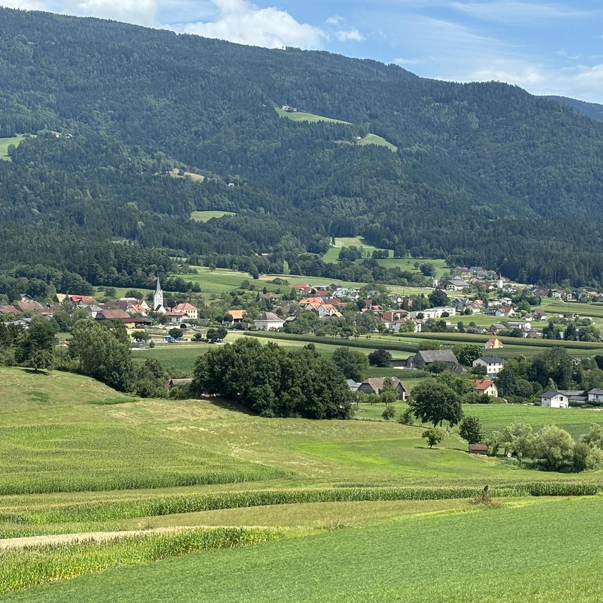
Hiking around Sankt Georgen im Lavanttal
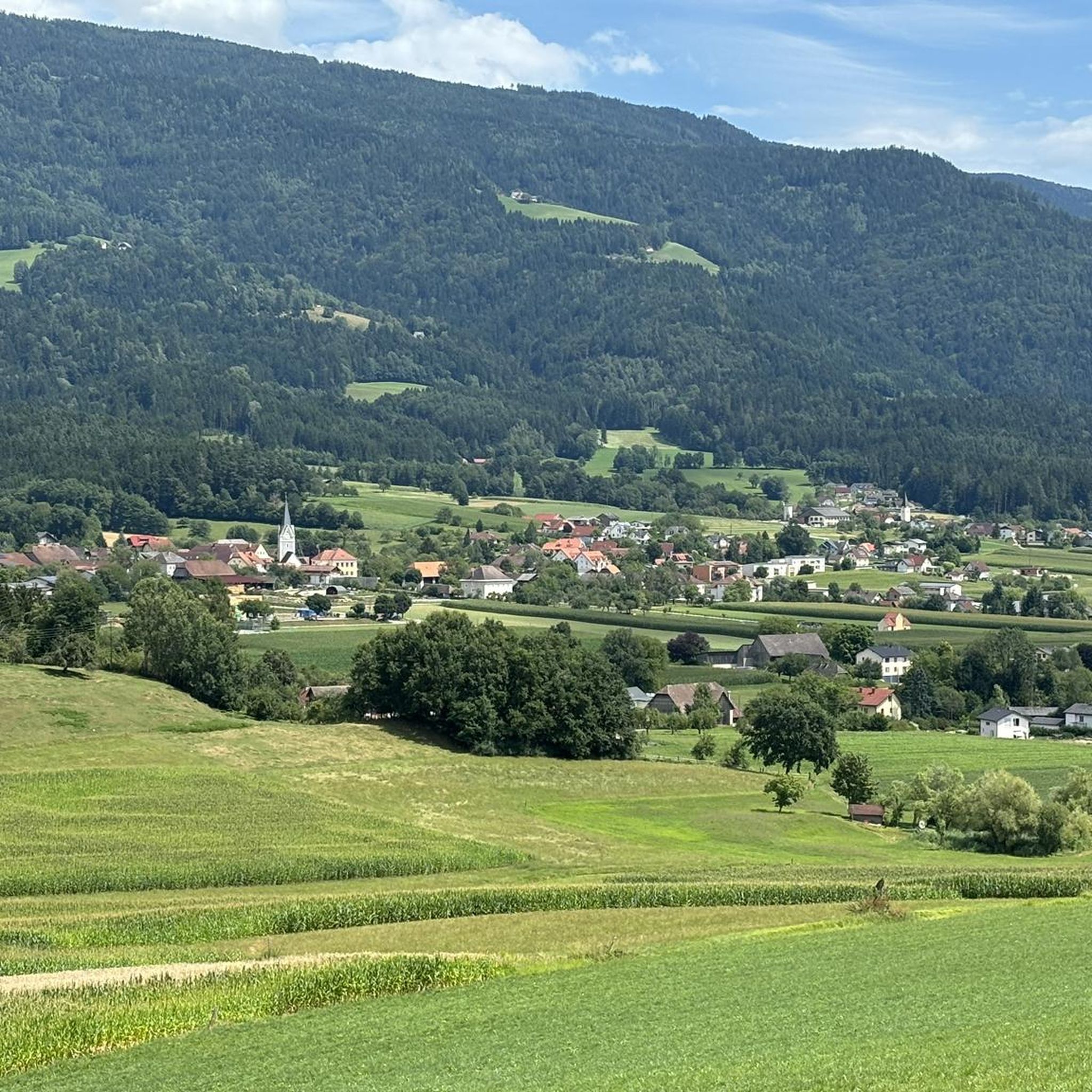
Road Cycling Routes around Sankt Georgen im Lavanttal
Running Trails around Sankt Georgen im Lavanttal
Gravel biking around Sankt Georgen im Lavanttal
Other adventures around Sankt Georgen im Lavanttal

Tips from the Community

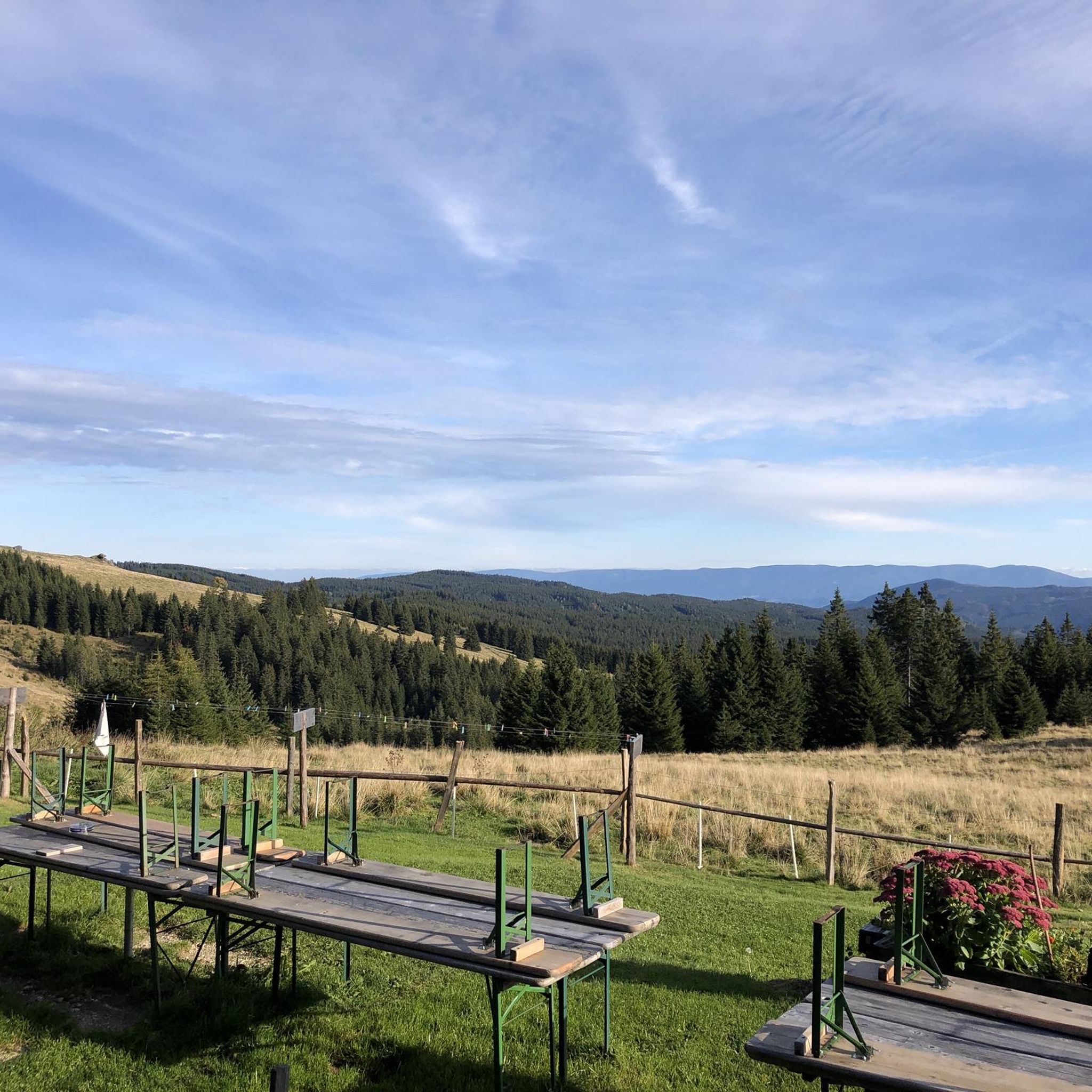
The Großhöllerhütte has a great view, super service, and an excellent Jause.
0
0

5€/day you can pay with bank card
1
0

Especially beautiful in winter when the ice is horizontal at the radar station.
2
0

I ask the next friendly hiker who reads this beforehand to take a summit book and a new pen for the summit, because the book is unfortunately full and the pen is already very old 🖊️📒 Thank you very much!
2
0
I ask the next friendly hiker who reads this beforehand to take a summit book and a new pen for the summit, because the book is unfortunately full and the pen is already very old 🖊️📒 Thank you very much!
9
1
Simply feed the navigation device with the following data. The parking lot is about 100 meters before these addresses. 🧭 9431 Wolfsberg Hartelsberg 76 or Hartelsberg 73
7
0
A parking lot with plenty of parking options 🅿️ The fee for one calendar day is 5 euros 💶 Payable with the card at the parking machine 💳
10
0
The summit cross collapsed in January 2014 due to heavy snow and ice loads. On June 6, 2014, the cross was re-erected in its old form made of oak wood and was ceremoniously inaugurated on July 5, 2014 by Dean Engelbert Hofer and Pastor Eugen Länger ✝️ http://www.kleindenkmaeler.at/detail/gipfelkreuz_grosser_speikkogel
8
0
Frequently Asked Questions
How many mountaineering routes are available around Sankt Georgen im Lavanttal?
There are 9 mountaineering routes around Sankt Georgen im Lavanttal listed on komoot, offering a range of experiences from moderate to difficult ascents.
What is the best time of year for mountaineering in Sankt Georgen im Lavanttal?
Spring and autumn are considered the best seasons for mountaineering in Sankt Georgen im Lavanttal. The weather is pleasantly mild, with blooming flowers in spring and vibrant autumn foliage, making for very scenic tours.
Are there any circular mountaineering routes in the area?
Yes, many of the routes are circular. For example, the Cattle Pasture – Großer Speikkogel Summit loop from Burgstallofen is a moderate 7.0-mile loop that takes you through alpine pastures to the summit of Großer Speickkogel. Another option is the Cattle Pasture – Koralpenhaus (1966 m) loop from Rieding, a moderate 4.8-mile circular route.
Are there challenging mountaineering routes for experienced hikers?
Absolutely. For experienced mountaineers seeking a challenge, consider the Poms Waterfall – Großer Speikkogel Summit loop from Burgstallofen. This difficult 8.8-mile path combines a natural waterfall with a demanding ascent to the Großer Speickkogel summit. Another difficult option is the Bärentalhütte – Großer Speikkogel Summit loop from Weinebene, a 9.6-mile trail through varied alpine terrain.
Are there any routes that pass by waterfalls?
Yes, the Poms Waterfall – Großer Speikkogel Summit loop from Burgstallofen specifically incorporates the beautiful Poms Waterfall into its challenging ascent. You can also find the waterfall on the Großer Speikkogel Summit – Poms Waterfall loop from Schizentrum Koralpe.
What interesting sights or landmarks can I see along the mountaineering routes?
Many routes offer stunning views and pass by notable landmarks. You can reach the Großer Speikkogel Summit and Radar Station, which provides a special 360-degree panorama. Other highlights include the Weinebene mountain pass, the cozy Grünanger Hut (1560 m), and the Brendl Hut. The Poms Waterfall is also a popular natural monument.
Are there family-friendly mountaineering options in Sankt Georgen im Lavanttal?
While many mountaineering routes in the region are moderate to difficult, Sankt Georgen im Lavanttal does offer specially designed family trails for general hiking that are well-marked and provide interesting information about local flora and fauna. For mountaineering, routes should be chosen carefully based on the family's experience and fitness level, focusing on shorter, less steep sections.
What do other mountaineers say about the routes in Sankt Georgen im Lavanttal?
The mountaineering routes in Sankt Georgen im Lavanttal are highly rated by the komoot community, with an average score of 5.0 stars from over 6 reviews. Mountaineers often praise the diverse alpine terrain, the breathtaking panoramic views from peaks like Großer Speickkogel, and the well-maintained trails.
Can I bring my dog on these mountaineering routes?
Many trails in the region are dog-friendly, but it's always advisable to check specific route regulations and local signage. Ensure your dog is well-behaved, kept on a leash where required, and that you carry enough water for both of you, especially on longer or more exposed routes.
Are there opportunities for winter mountaineering or other winter activities?
Beyond summer mountaineering, the snow-covered peaks of the Koralpe offer opportunities for winter activities such as ski touring and snowshoeing. The small family ski area of Koralpe is also only a short drive away, providing additional winter sports options.
Is public transport available to access the mountaineering routes?
While Sankt Georgen im Lavanttal has an extensive network of trails, specific public transport links directly to the starting points of all mountaineering routes may be limited. It is recommended to check local bus schedules or consider driving to access the trailheads, especially for routes in more remote mountain areas.
Are there parking facilities near the starting points of the routes?
Generally, parking facilities are available near the starting points of popular mountaineering routes in the region, particularly at trailheads or near mountain huts. However, it's always a good idea to check specific route descriptions or local information for designated parking areas before you set out.
Most popular routes around Sankt Georgen im Lavanttal
Most popular attractions around Sankt Georgen im Lavanttal

Get inspired with the komoot mobile app


Explore more
Browse the best Mountain Hikes & Routes in other regions.
