The best mountain hikes around Sankt Andrä
5.0
(5)
182
hikers
13
hikes
Mountaineering routes around Sankt Andrä are situated within the Lavanttal region of Carinthia, Austria. The area features the foothills of the Gurktaler Alps, including the Koralpe and Saualpe mountain ranges. This geographical setting provides a range of elevations and terrain, characterized by lush forests, green meadows, and the Lavant Valley, suitable for mountain ascents and challenging trails.
Best mountaineering routes around Sankt Andrä
- The most popular mountaineering route is Cattle Pasture – Großer Speikkogel Summit loop from Burgstallofen, a 7.0 miles (11.2 km) trail that takes 3 hours 53 minutes to complete. This moderate route leads to the prominent Großer Speikkogel summit.
- Another top favourite among local mountaineers is Poms Waterfall – Großer Speikkogel Summit loop from Burgstallofen, a difficult 8.8 miles (14.1 km) path. This challenging route features the Poms Waterfall and offers expansive views from the summit.
- Local mountaineers also love the Bärentalhütte – Großer Speikkogel Summit loop from Weinebene, a 9.6 miles (15.4 km) trail leading through alpine terrain towards the Großer Speikkogel, often completed in about 5 hours 24 minutes.
- Mountaineering around Sankt Andrä is defined by the Koralpe and Saualpe mountain ranges, dense forests, and open alpine meadows. The network offers options for different ability levels, from moderate ascents to more difficult summit trails.
- The routes in Sankt Andrä are highly rated by the komoot community with an average score of 4.5 stars from over 7 reviews. More than 100 mountaineers have used komoot to explore Sankt Andrä's varied terrain.
Last updated: October 12, 2026
5.0
(2)
55
hikers
11.2km
03:53
640m
640m
Moderate mountaineering route. Good fitness required. Mostly accessible paths. Sure-footedness required.
33
hikers
14.1km
05:02
710m
700m
Hard mountaineering route. Very good fitness required. Mostly accessible paths. Sure-footedness required.

33
hikers
15.4km
05:23
640m
640m
Hard mountaineering route. Very good fitness required. Sure-footedness, sturdy shoes and alpine experience required.
5.0
(2)
20
hikers
12.8km
04:28
590m
590m
Moderate mountaineering route. Good fitness required. Mostly accessible paths. Sure-footedness required.
16
hikers
7.81km
02:47
480m
480m
Moderate mountaineering route. Good fitness required. Easily-accessible paths. Suitable for all skill levels.
Get access to more routes and recommendations from other explorers.
Already have an account?
Our route recommendations are based on thousands of hikes, rides, and runs completed by other people on komoot.
Start today with a free account
Your next adventure awaits.
Popular around Sankt Andrä
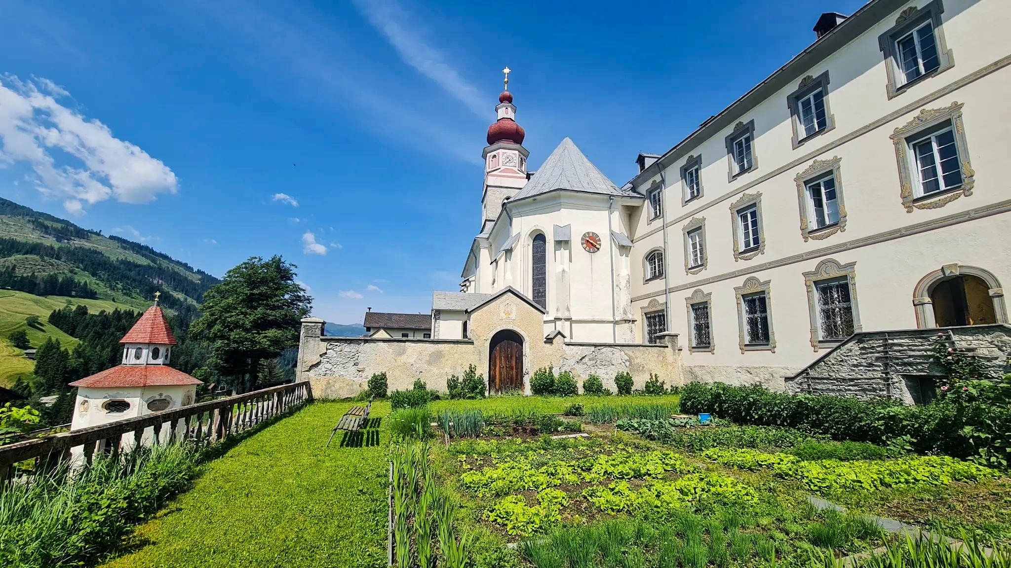
Carinthian Marian Pilgrimage Way – Wonder and find yourself
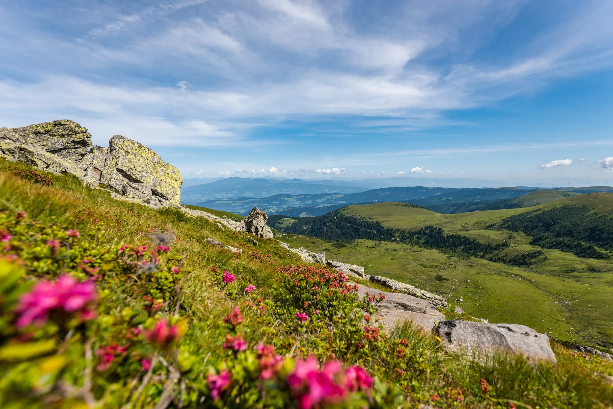
Koralm Kristall Trail – Spectacular rocks and alpine meadows
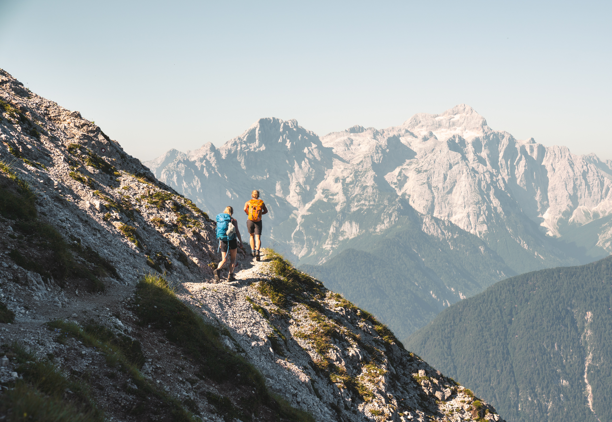
Sunny adventures on the Southern Alps Panorama Trail
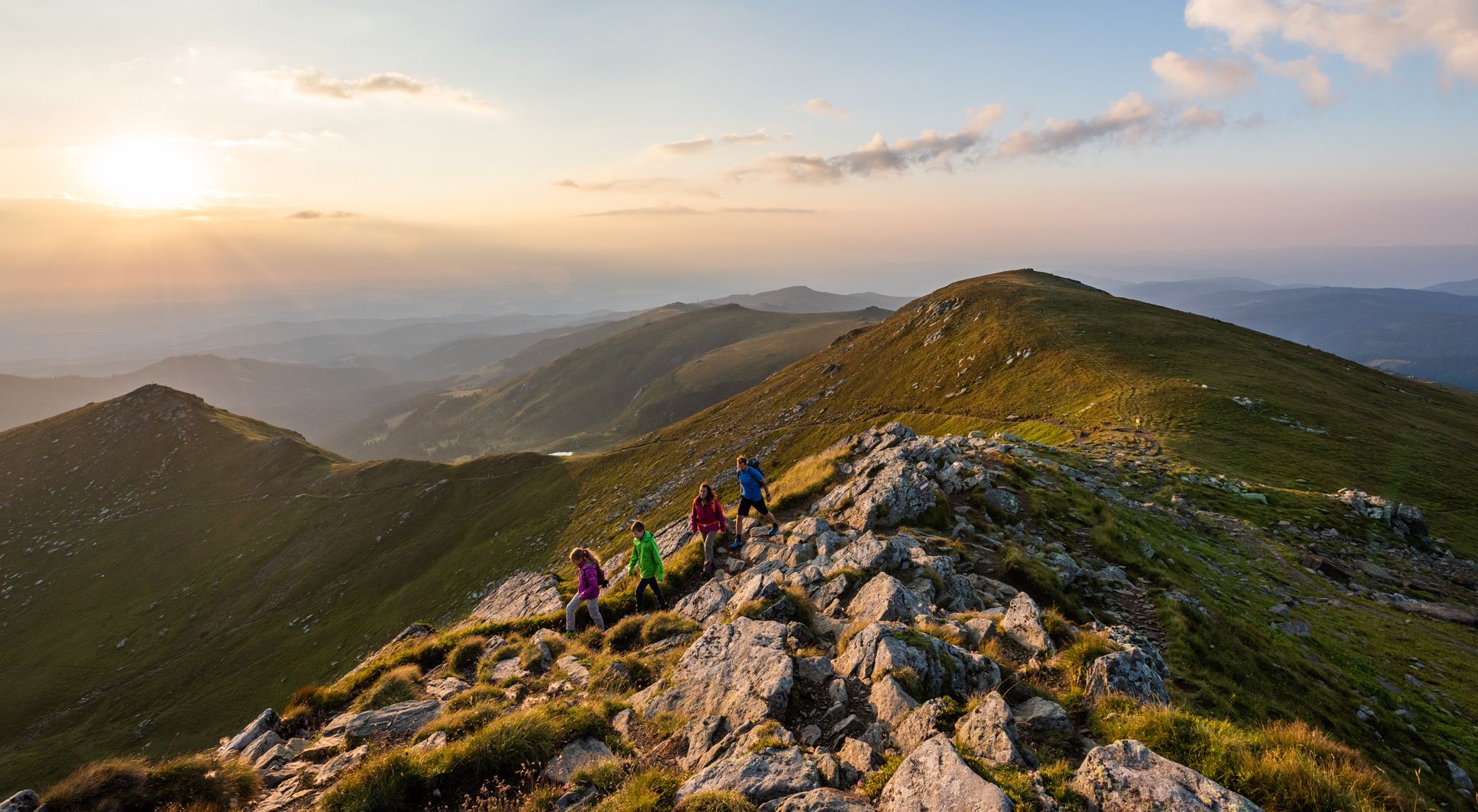
9 days of relaxation and wonder in Austria – Lavant Valley Trail
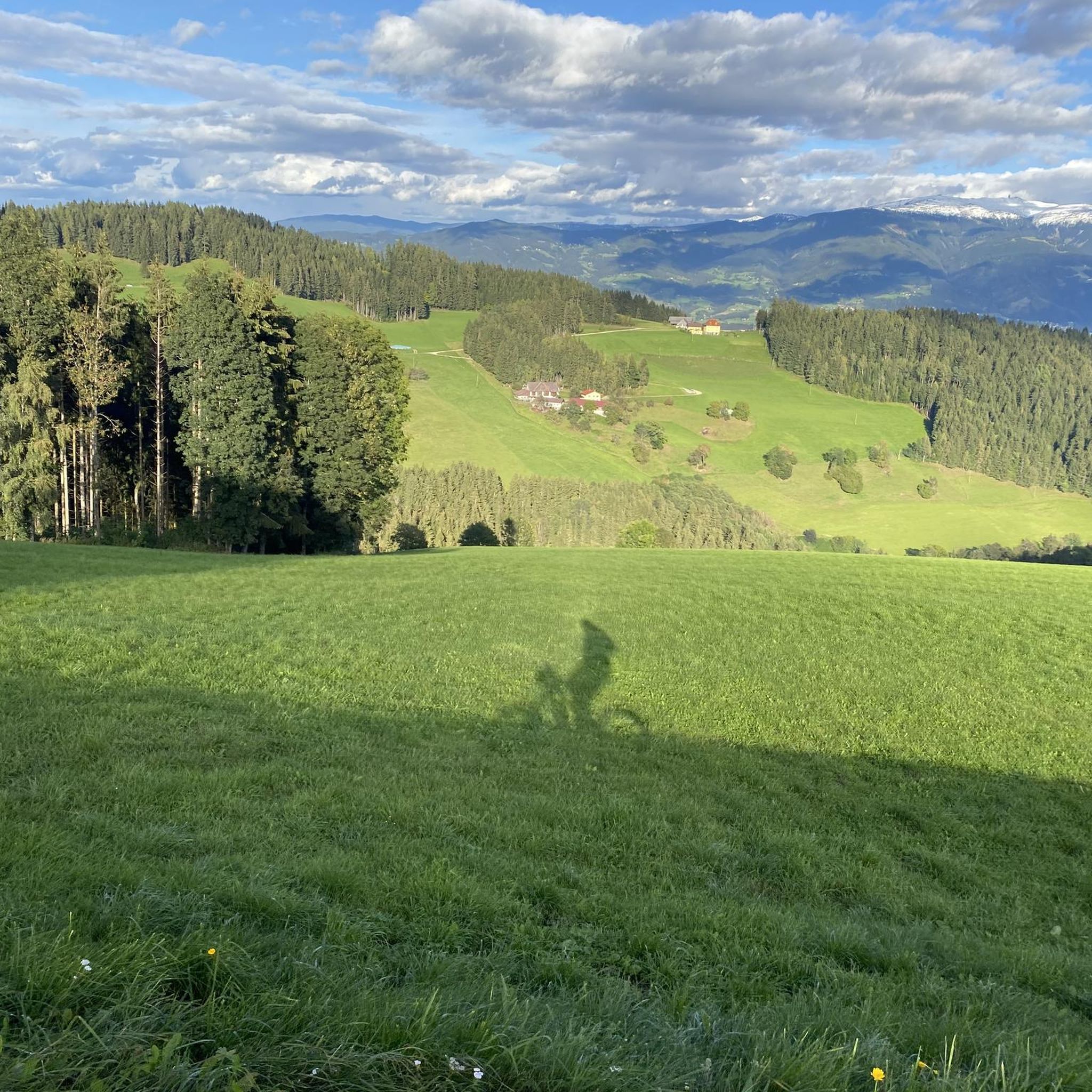
Hiking around Sankt Andrä
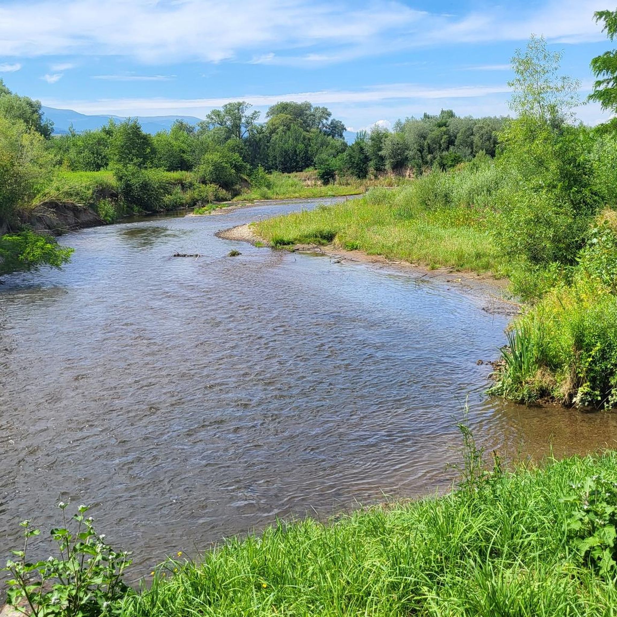
Cycling around Sankt Andrä
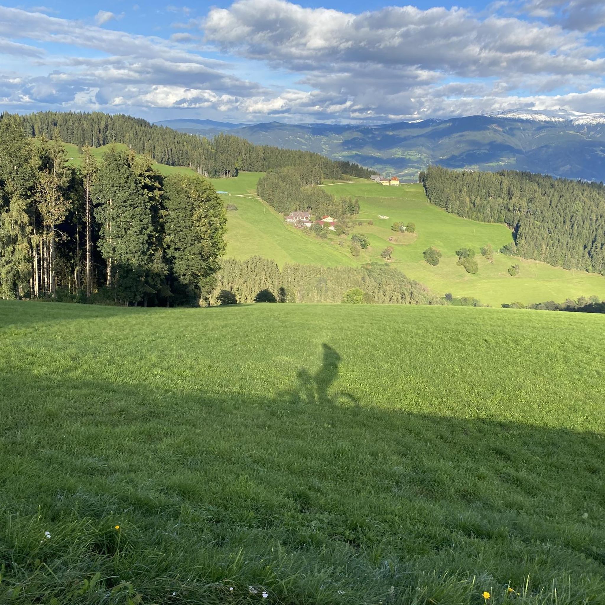
MTB Trails around Sankt Andrä
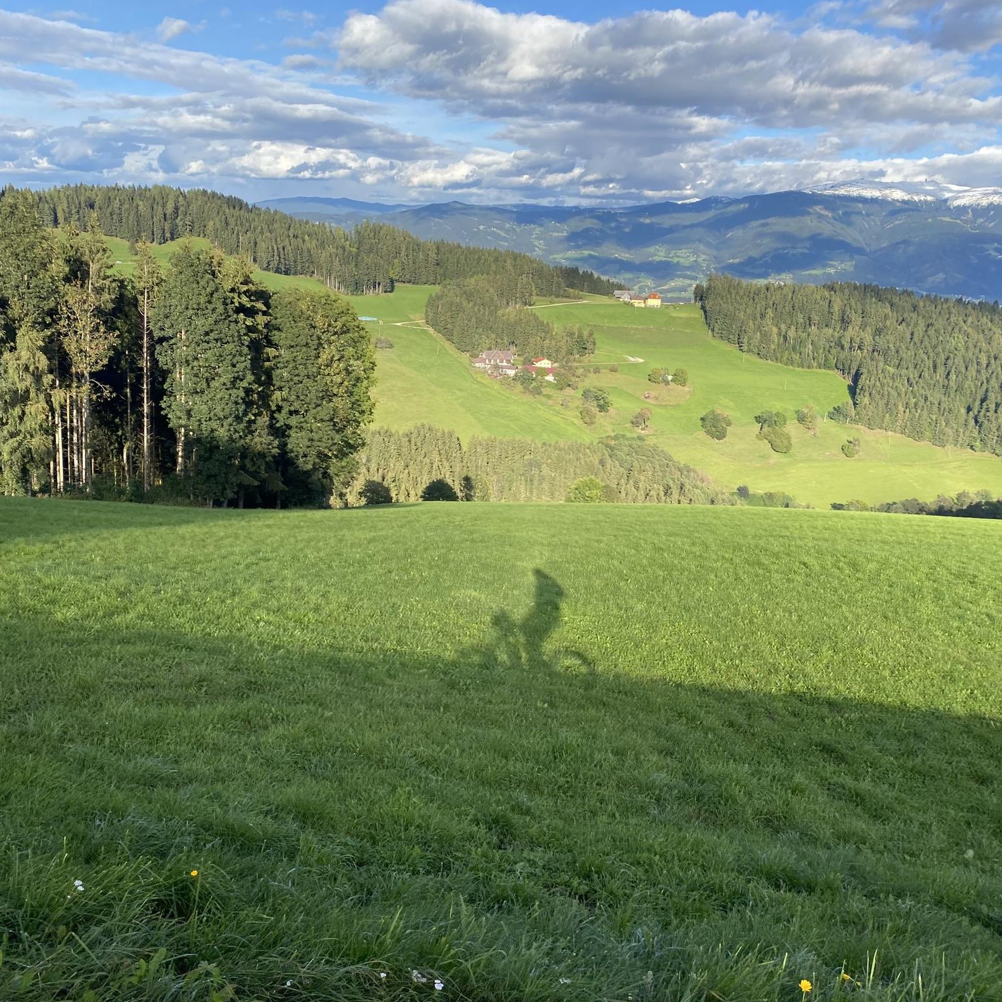
Road Cycling Routes around Sankt Andrä
Running Trails around Sankt Andrä
Gravel biking around Sankt Andrä
Other adventures around Sankt Andrä


Tips from the Community

At 1,966 meters lies the Koralpenhaus, in the middle of the vast alpine meadows of the Koralpe. From the terrace, you look out over the Lavant Valley to the Karawanken mountains. The hut is staffed and was newly opened in 2021. A great resting place for hikers in summer, a starting point for various snow sports in winter. Stop for refreshments, enjoy the view, continue hiking, or even stay overnight. https://www.alpenverein.at/koralpenhaus/
1
0

The Großhöllerhütte has a great view, super service, and an excellent Jause.
0
0

5€/day you can pay with bank card
1
0

Especially beautiful in winter when the ice is horizontal at the radar station.
2
0

I ask the next friendly hiker who reads this beforehand to take a summit book and a new pen for the summit, because the book is unfortunately full and the pen is already very old 🖊️📒 Thank you very much!
2
0
I ask the next friendly hiker who reads this beforehand to take a summit book and a new pen for the summit, because the book is unfortunately full and the pen is already very old 🖊️📒 Thank you very much!
9
1
Simply feed the navigation device with the following data. The parking lot is about 100 meters before these addresses. 🧭 9431 Wolfsberg Hartelsberg 76 or Hartelsberg 73
7
0
A parking lot with plenty of parking options 🅿️ The fee for one calendar day is 5 euros 💶 Payable with the card at the parking machine 💳
10
0
Frequently Asked Questions
What kind of terrain can I expect on mountaineering routes around Sankt Andrä?
The mountaineering routes around Sankt Andrä are primarily located in the foothills of the Gurktaler Alps, encompassing the Koralpe and Saualpe mountain ranges. You can expect a diverse landscape featuring lush forests, green alpine meadows, and the scenic Lavant Valley, with varying elevations suitable for mountain ascents.
Are there any easier mountaineering routes around Sankt Andrä?
Yes, while many routes offer a challenge, there are moderate options available. For example, the Cattle Pasture – Großer Speikkogel Summit loop from Burgstallofen is a moderate 7.0-mile (11.2 km) trail that takes approximately 3 hours 53 minutes. Another moderate choice is the Cattle Pasture – Koralpenhaus loop from Burgstallofen, which is about 4.8 miles (7.8 km) long.
Where can I find parking for mountaineering trails in the Sankt Andrä area?
Trailheads for popular routes often have designated parking. For routes starting from Burgstallofen, such as the Cattle Pasture – Großer Speikkogel Summit loop, parking is typically available near the starting point. Similarly, for routes from Weinebene, like the Bärentalhütte – Großer Speikkogel Summit loop, you'll usually find parking facilities.
Are permits required for mountaineering in the Sankt Andrä region?
Generally, permits are not required for standard mountaineering routes in the Koralpe and Saualpe ranges around Sankt Andrä. However, it's always advisable to respect private land and local regulations, especially when traversing agricultural areas.
Are there family-friendly mountaineering options in Sankt Andrä?
While many routes are moderate to difficult, families with some hiking experience can find suitable options by choosing shorter sections or trails with less elevation gain. The varied terrain allows for different levels of exploration, making it possible to tailor an outing for families.
What are some challenging mountaineering trails in Sankt Andrä?
For those seeking a challenge, the Poms Waterfall – Großer Speikkogel Summit loop from Burgstallofen is a difficult 8.8-mile (14.1 km) path featuring significant elevation changes and rewarding views. Another demanding route is the Bärentalhütte – Großer Speikkogel Summit loop from Weinebene, a 9.6-mile (15.4 km) trail through alpine terrain.
What is the best season for mountaineering in Sankt Andrä?
The best season for mountaineering in Sankt Andrä is typically from late spring through early autumn (May to October). During these months, the weather is generally more stable, and trails are free of snow, offering optimal conditions for exploring the Koralpe and Saualpe ranges.
Are there any circular mountaineering routes in the Sankt Andrä area?
Yes, many of the mountaineering routes around Sankt Andrä are designed as loops, allowing you to start and end at the same point. Examples include the Großer Speikkogel Summit – Poms Waterfall loop from Schizentrum Koralpe and the Cattle Pasture – Großer Speikkogel Summit loop from Burgstallofen.
What natural attractions can I see along the mountaineering routes?
The routes often lead to stunning natural attractions. You can encounter the impressive Poms Waterfall on some trails. Many routes also lead to prominent summits like the Großer Speikkogel Summit and Ladinger Peak, offering panoramic views.
What do other mountaineers enjoy most about the routes in Sankt Andrä?
The mountaineering routes in Sankt Andrä are highly rated by the komoot community, with an average score of 4.5 stars. Reviewers often praise the diverse terrain, from dense forests to open alpine meadows, and the rewarding summit views, particularly from the Großer Speikkogel.
Are there any historical landmarks or castles near the mountaineering areas?
While the mountaineering routes themselves focus on natural landscapes, the broader Sankt Andrä region is rich in history. You can find several castles nearby, such as Thürn Castle and the Rabenstein Castle Ruins, which offer a glimpse into the area's past.
Most popular routes around Sankt Andrä
Most popular attractions around Sankt Andrä

Get inspired with the komoot mobile app


Explore more
Browse the best Mountain Hikes & Routes in other regions.
