The best mountain hikes around Sachsenburg
4.8
(87)
659
hikers
11
hikes
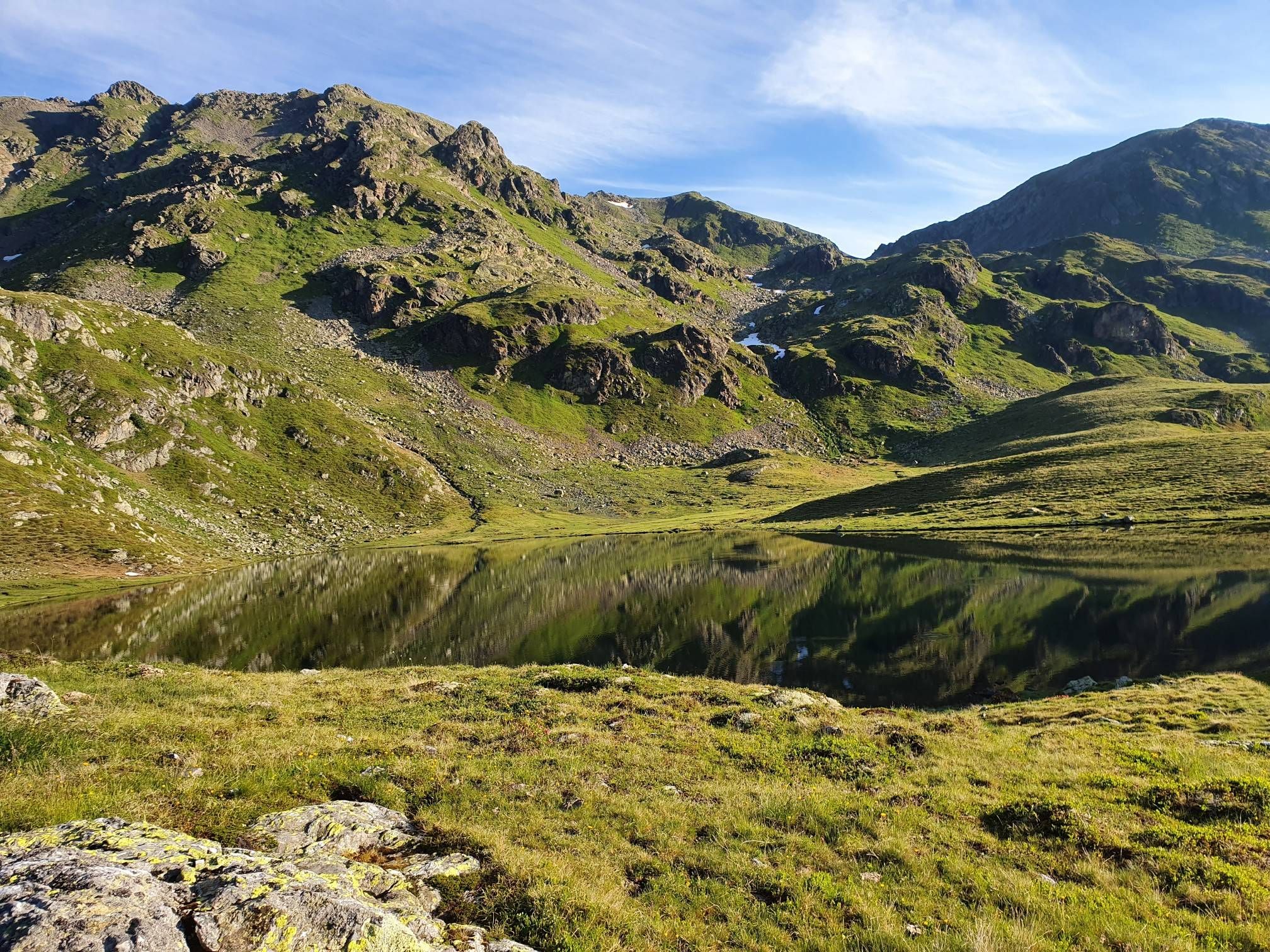
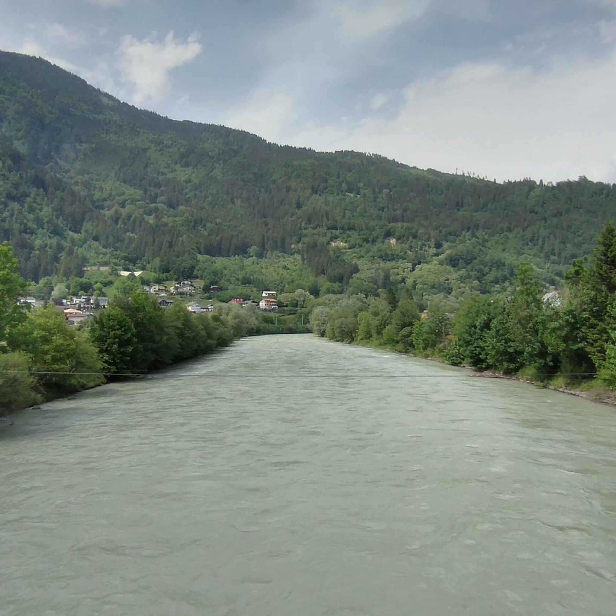
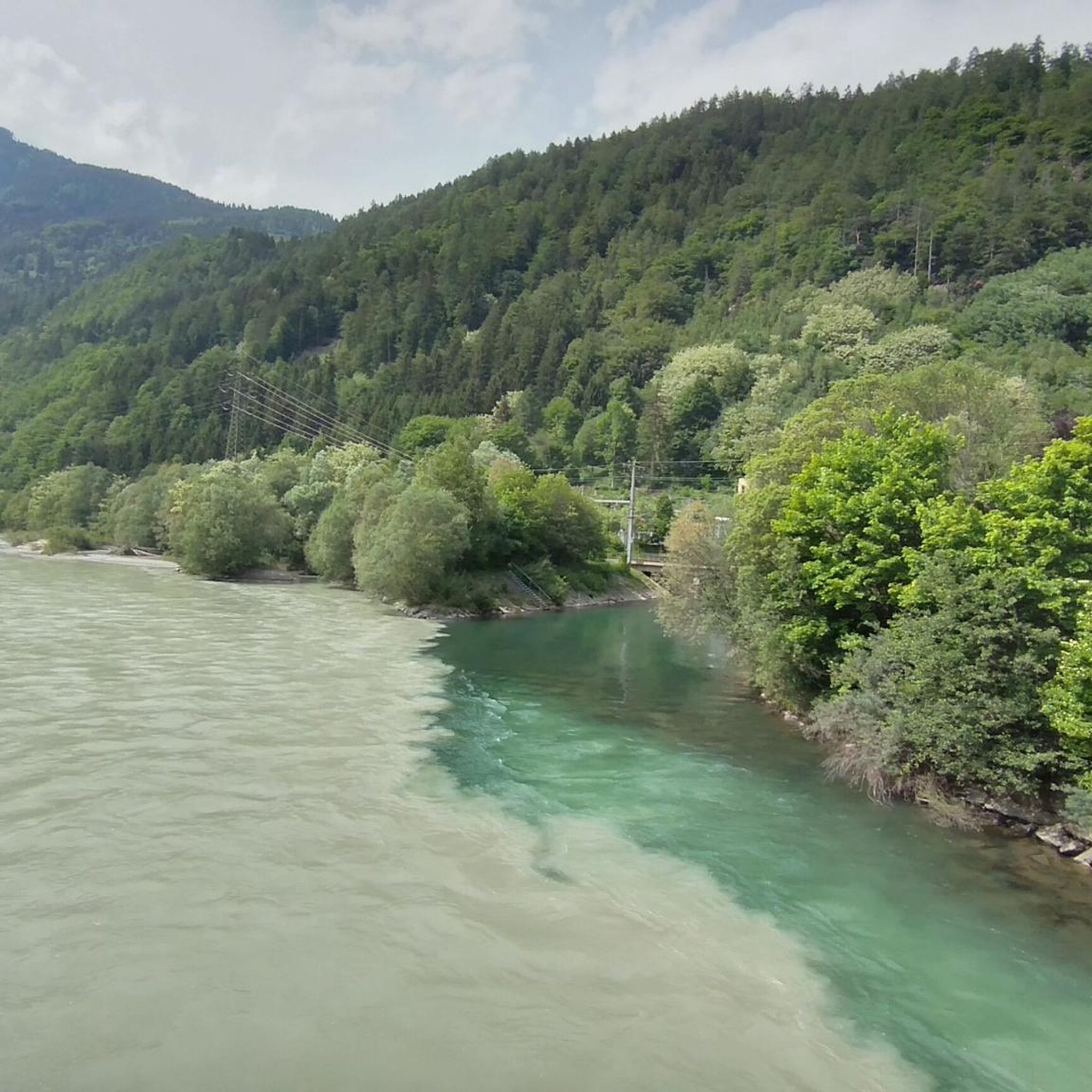
Mountaineering routes around Sachsenburg, located in Kärnten, Austria, traverse a diverse alpine landscape characterized by prominent summits, dense forests, and high-altitude mountain huts. The region features significant elevation changes, offering challenging ascents and panoramic views across the Drau Valley. This area provides a range of terrain from established forest trails to exposed ridge walks leading to various peaks.
Best mountaineering routes around Sachsenburg
- The most popular mountaineering route is Kohlmaierhütte loop from Hummelkopf, an 8.7 miles (14.0 km) trail…
Last updated: September 28, 2026
4.8
(4)
41
hikers
14.0km
07:41
1,300m
1,300m
Hard mountaineering route. Very good fitness required. Sure-footedness, sturdy shoes and alpine experience required.
22
hikers
17.4km
07:45
1,430m
1,430m
Hard mountaineering route. Very good fitness required. Mostly accessible paths. Sure-footedness required.

5.0
(1)
16
hikers
10.9km
04:43
850m
850m
Moderate mountaineering route. Good fitness required. Mostly accessible paths. Sure-footedness required.
14
hikers
5.11km
02:26
540m
530m
Moderate mountaineering route. Good fitness required. Easily-accessible paths. Suitable for all skill levels.
4.8
(5)
13
hikers
7.13km
02:59
450m
450m
Hard mountaineering route. Good fitness required. Sure-footedness, sturdy shoes and alpine experience required.
Get access to more routes and recommendations from other explorers.
Already have an account?
Our route recommendations are based on thousands of hikes, rides, and runs completed by other people on komoot.
Start today with a free account
Your next adventure awaits.
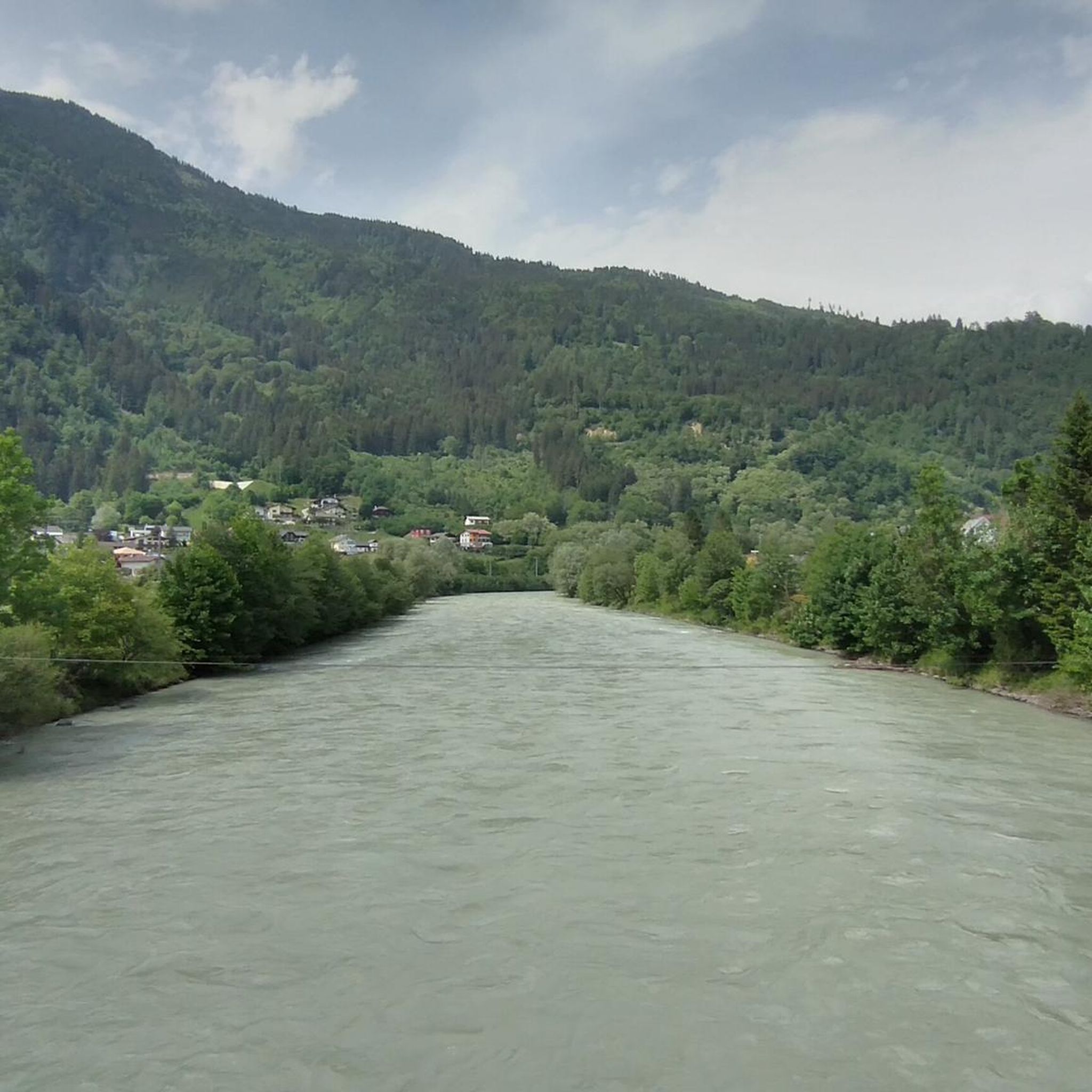
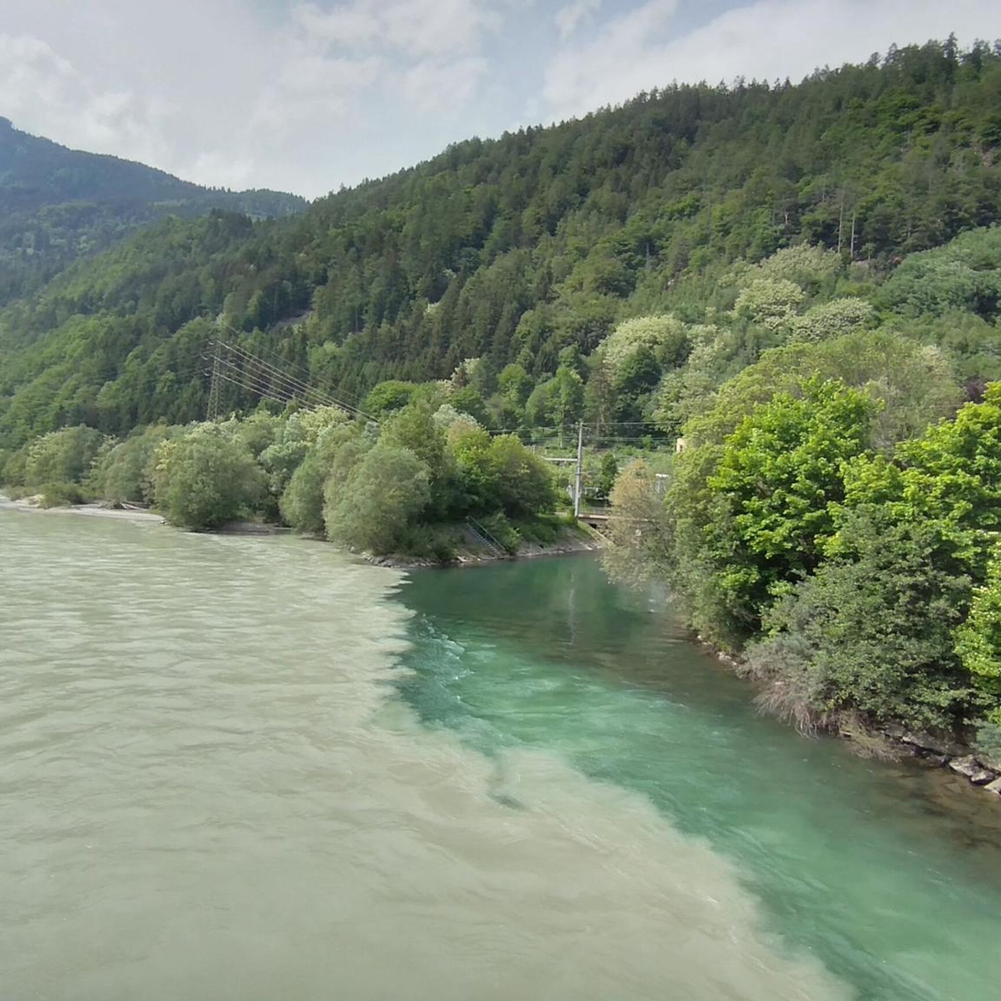

Other adventures around Sachsenburg

Tips from the Community


…from the summit you have a fantastic view of the mountains and Lake Millstatt! 👀
3
0
Beautiful hiking area with some good places to stop for refreshments!
3
0
The bike path from Mallnitz to Spittal is well signposted! Some sections require chunkier tires! 🚵♂️ There's plenty of interesting things to see and some great places to stop for a break!
1
0
The bike path from Mallnitz to Möllbrücke is well signposted! Some sections require chunkier tires! 🚵♂️
1
0

Beautiful, safe ridge path
0
0
…the Goldeck is a worthwhile “sports mountain” at any time of year! 😃
5
0

Frequently Asked Questions
How challenging are the mountaineering routes around Sachsenburg?
The mountaineering routes around Sachsenburg offer a range of difficulties, primarily catering to experienced mountaineers. You'll find 5 moderate and 6 difficult routes. These trails feature significant elevation changes, from established forest paths to exposed ridge walks leading to various peaks.
Are there any beginner-friendly mountaineering routes in Sachsenburg?
While the region primarily caters to experienced mountaineers, there are 5 moderate routes available. These might be suitable for beginners with a good level of fitness and some prior hiking experience. For example, the Gaugen Summit Cross – Tolzer summit cross loop from Gaugen is a moderate option, covering about 3.2 miles (5.1 km) with over 1,700 feet (500 m) of elevation gain.
What kind of distances and elevation gains can I expect on these routes?
Mountaineering routes in Sachsenburg typically involve significant distances and elevation gains. For instance, the Kohlmaierhütte loop from Hummelkopf is 8.7 miles (14.0 km) long with over 4,200 feet (1,300 m) of ascent, while the Kohlmaierhütte – Gmeineck Summit loop from Hühnersberg stretches 10.8 miles (17.4 km) with over 4,600 feet (1,400 m) of climbing.
When is the best time of year to go mountaineering in Sachsenburg?
The best time for mountaineering in Sachsenburg is generally during the warmer months, from late spring to early autumn (May to October), when trails are clear of snow and weather conditions are more stable. Always check the local weather forecast before heading out, as alpine conditions can change rapidly.
Is winter mountaineering possible around Sachsenburg?
Winter mountaineering in the Sachsenburg region is possible but requires specialized equipment, experience, and careful planning due to snow, ice, and potential avalanche risks. Many routes become significantly more challenging or inaccessible during winter. It's crucial to consult local conditions and avalanche reports if considering winter ascents.
Are there mountain huts or places to get refreshments along the routes?
Yes, the region features high-altitude mountain huts, which often provide opportunities for refreshments or even overnight stays. For example, the Christebauerhütte – Forest Trail to Böse Nase loop from Burgruine Hohenburg passes by a mountain hut, offering a chance to rest and refuel.
Are there circular mountaineering routes available?
Many of the mountaineering routes around Sachsenburg are designed as loops, allowing you to start and end at the same point. Examples include the Kohlmaierhütte loop from Hummelkopf and the Panoramaalm – Goldeck Summit Cross loop from Goldeck, providing varied scenery without retracing your steps.
What can I see along the mountaineering routes?
Beyond the stunning alpine scenery and panoramic views of the Drau Valley, you can encounter various natural and historical highlights. Some routes offer views of the Goldeck Summit Cross or lead through areas with impressive gorges like the Gnoppnitzklamm Gorge, and even waterfalls such as the Barbarossa Gorge Waterfall.
What do other mountaineers enjoy the most about mountaineering in Sachsenburg?
The mountaineering routes in Sachsenburg are highly rated by the komoot community, with an average score of 4.8 stars from over 70 reviews. Reviewers often praise the diverse alpine landscape, the challenging ascents to prominent summits, and the rewarding panoramic views across the Drau Valley.
Do I need any permits to go mountaineering in the Sachsenburg area?
Generally, no specific permits are required for day mountaineering trips on established trails in the Sachsenburg area. However, always respect local regulations, especially if you are entering protected areas or private land. If planning to stay overnight in a mountain hut, it's advisable to book in advance.
Where can I park when planning a mountaineering trip near Sachsenburg?
Parking is typically available at the starting points of many popular mountaineering routes. For example, routes like the Kohlmaierhütte loop often have designated parking areas near Hummelkopf or other trailheads. It's always recommended to check specific route descriptions for detailed parking information.
Most popular routes around Sachsenburg
Most popular attractions around Sachsenburg

Get inspired with the komoot mobile app


Explore more
Browse the best Mountain Hikes & Routes in other regions.
