The best running trails around Rennweg am Katschberg
4.2
(80)
992
runners
57
runs
Jogging around Rennweg am Katschberg offers a diverse Alpine landscape, with altitudes ranging from approximately 1,640 feet to 7,283 feet. The region is characterized by the Gurktaler Alps to the north and the Nockberge mountains to the south, providing a backdrop of rolling Alpine fields and dense pine forests. The Pöllatal Nature Reserve and the Lieser River also contribute to the varied terrain available for running. This area provides a range of routes suitable for different fitness levels.
Best jogging routes around Rennweg am Katschberg
- The most popular jogging route is Marienkapelle Gamskogel – Gamskogel Hut loop from Katschberg, a 2.5 miles (4.1 km) trail that takes about 30 minutes to complete. This moderate route offers views towards the Gamskogel Hut.
- Another top favourite among local runners is Gontal Saddle – Pritz Hut loop from Katschberg, a difficult 6.3 miles (10.2 km) path. This route leads through mountainous terrain, passing by the Pritz Hut.
- Local runners also love the Gontal Pass – Marienkapelle Gamskogel loop from Katschberg, a 5.0 miles (8.0 km) trail leading through the Gontal Pass area, often completed in about 1 hour 5 minutes.
- Jogging around Rennweg am Katschberg is defined by the Gurktaler Alps, Nockberge mountains, and dense pine forests. The network offers options for various ability levels, from easy paths to challenging mountain runs.
- The routes in Rennweg am Katschberg are highly rated by the komoot community with an average score of 4.2 stars from more than 60 reviews. More than 900 runners have used komoot to explore Rennweg am Katschberg's varied terrain.
Last updated: August 19, 2026
4.8
(4)
50
runners
4.06km
00:31
180m
180m
Moderate run. Good fitness required. Mostly paved surfaces. Suitable for all skill levels.
4.3
(13)
94
runners
9.87km
01:12
310m
310m
Hard run. Very good fitness required. Mostly paved surfaces. Suitable for all skill levels.

Sign up for free
5.0
(2)
35
runners
8.02km
01:05
370m
370m
Hard run. Very good fitness required. Mostly paved surfaces. Suitable for all skill levels.
3.5
(2)
4
runners
12.5km
01:46
500m
500m
Hard run. Very good fitness required. Mostly paved surfaces. Suitable for all skill levels.
3
runners
9.32km
01:19
410m
410m
Hard run. Very good fitness required. Sure-footedness, sturdy shoes and alpine experience required.
Get access to more routes and recommendations from other explorers.
Sign up for free
Already have an account?
Our route recommendations are based on thousands of hikes, rides, and runs completed by other people on komoot.
Start today with a free account
Your next adventure awaits.
Login or Signup
Popular around Rennweg am Katschberg
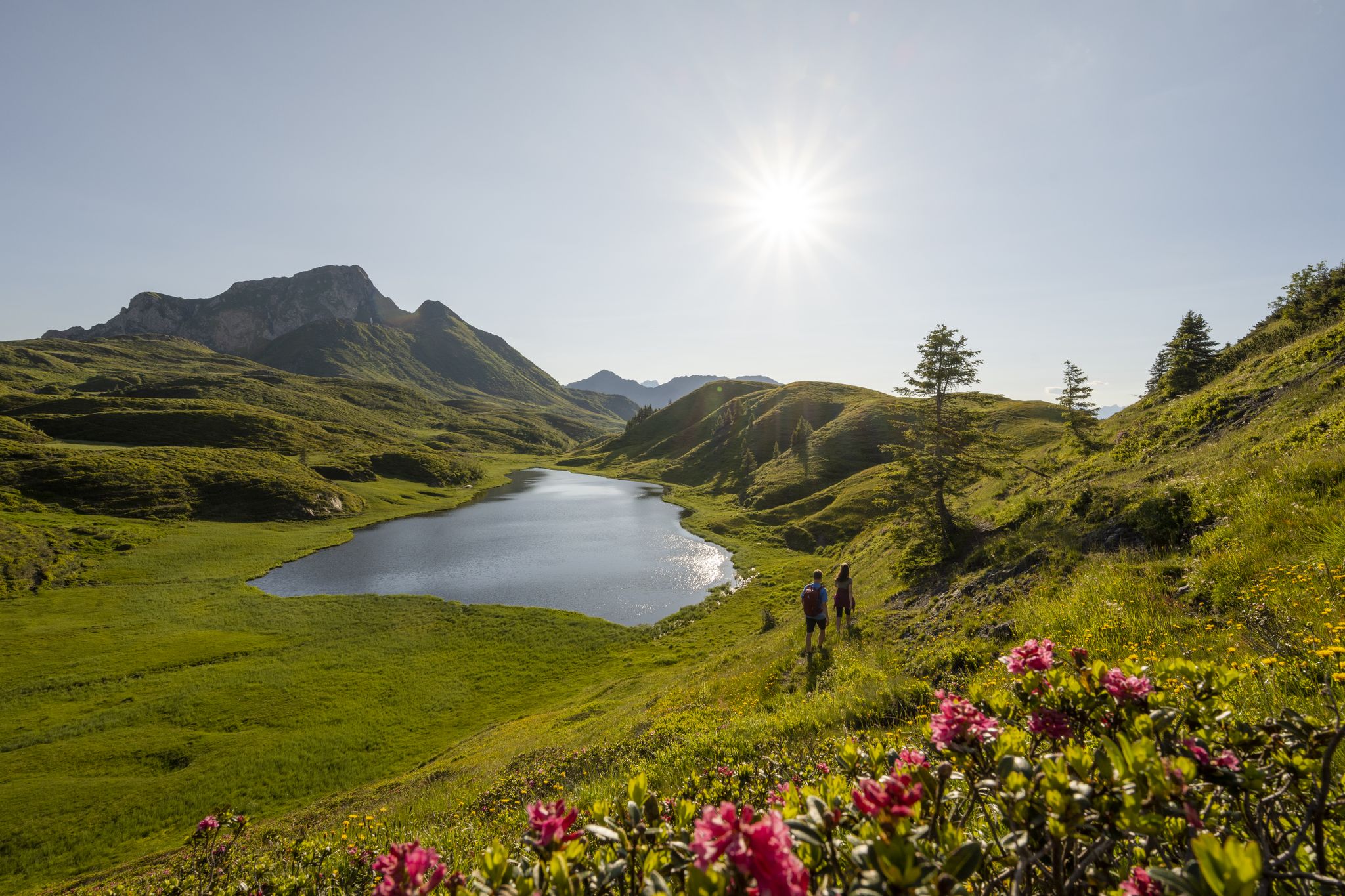
Long hikes on the southern side of the Austrian Alps – in Carinthia
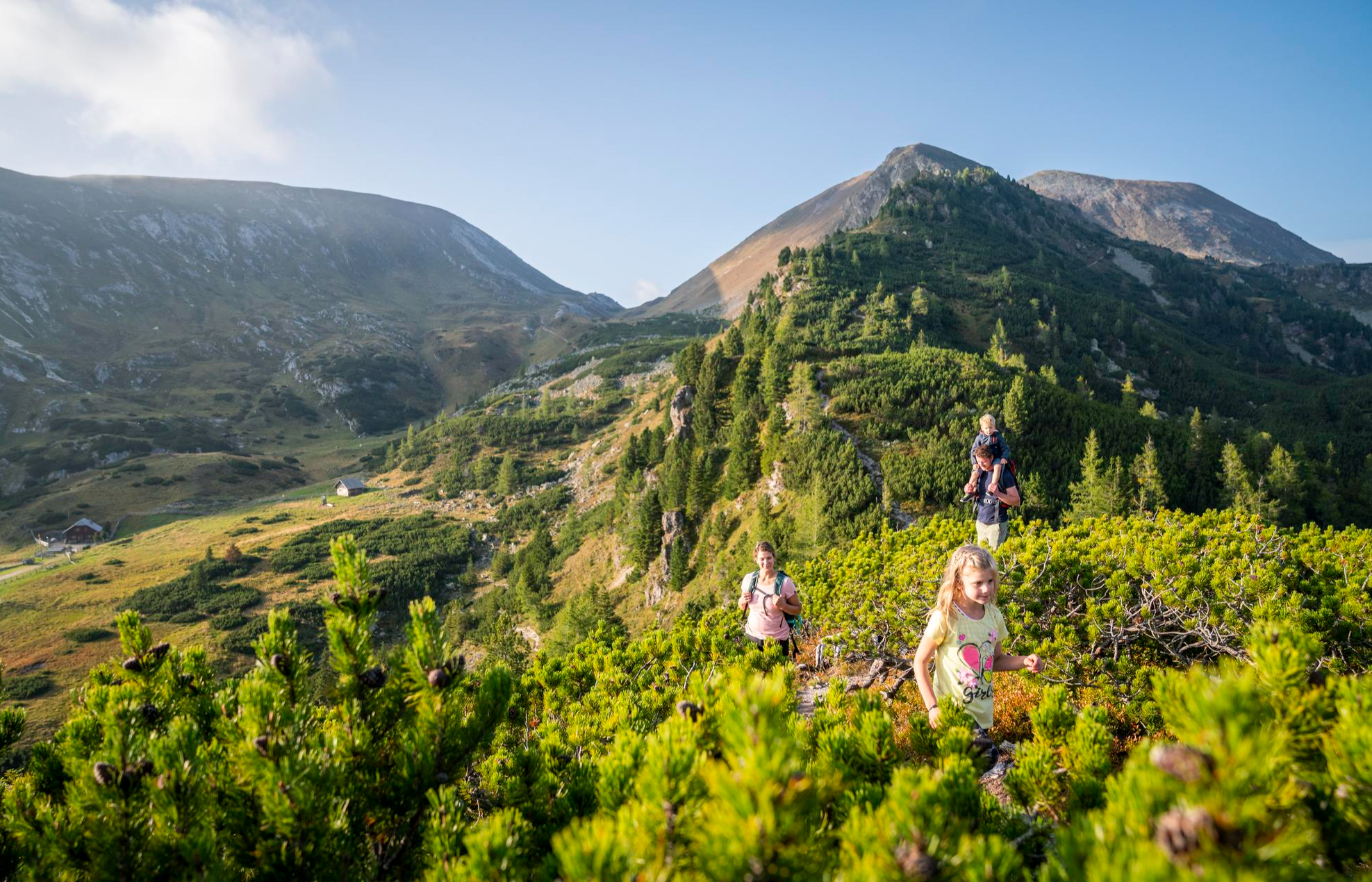
Joyous adventures experienced together – family hiking in Carinthia
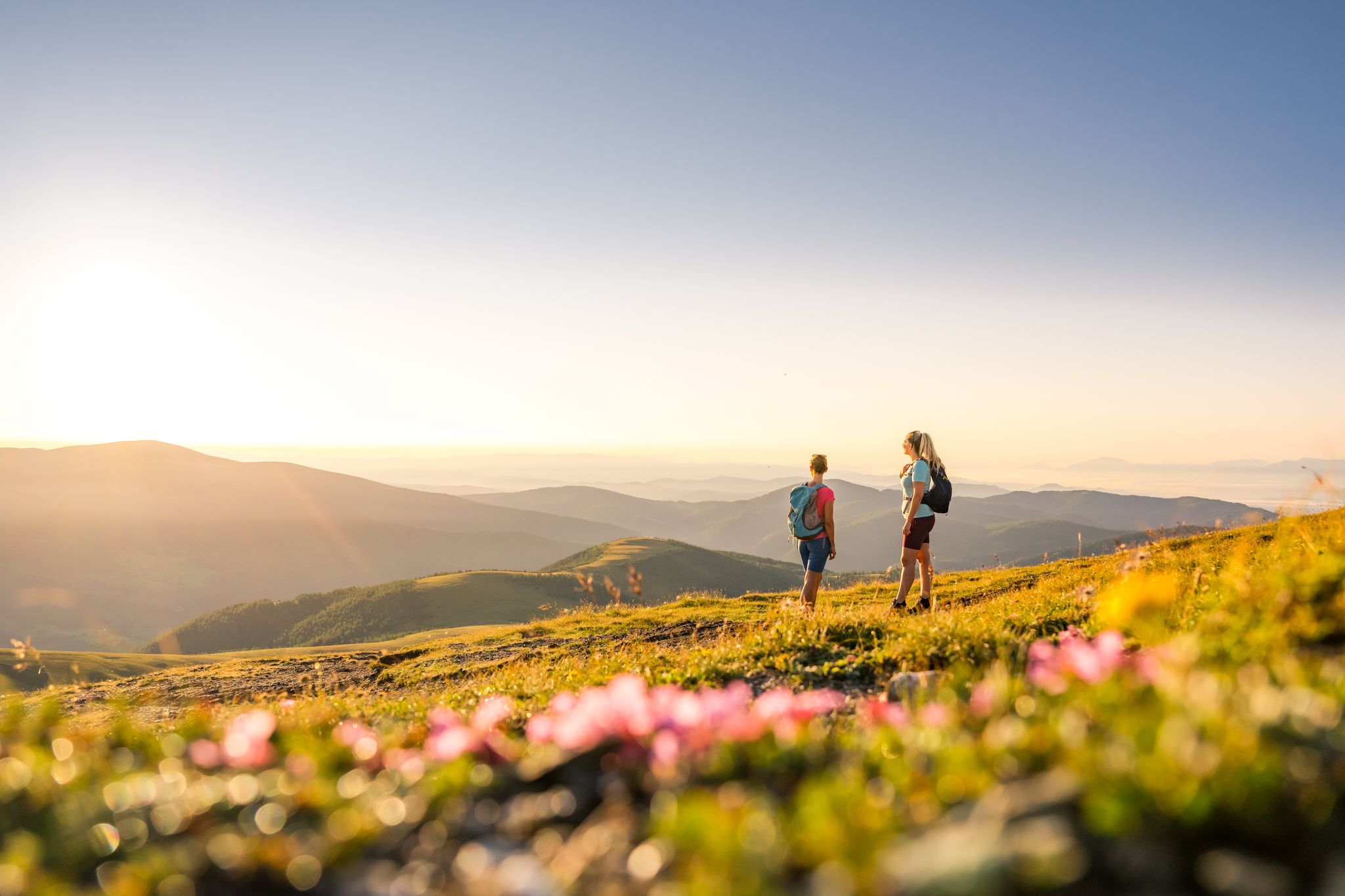
Spectacular and historic – long-distance hiking in Carinthia
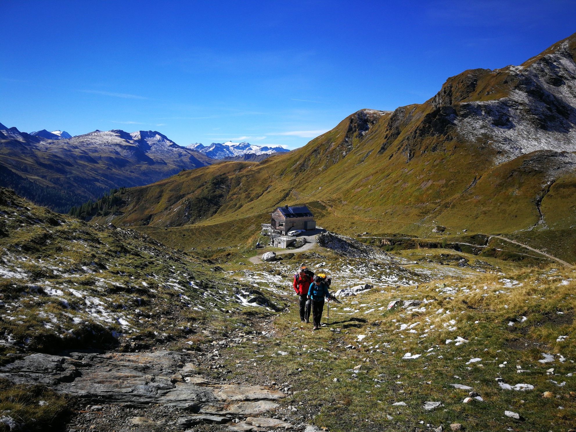
Lower Austria to Carinthia — our favourite huts in Austria
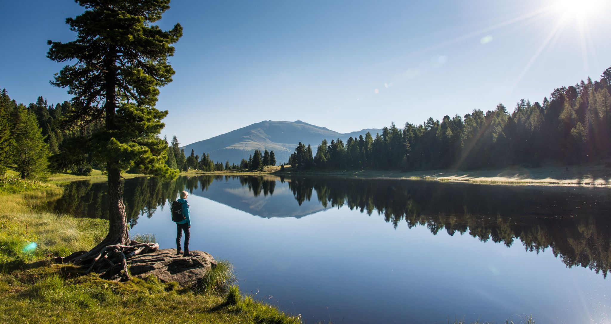
Long distance hiking from mountains to lakes – Nockberge Trail in the Eastern Alps
Natur erleben: Dein Wanderurlaub am Bauernhof
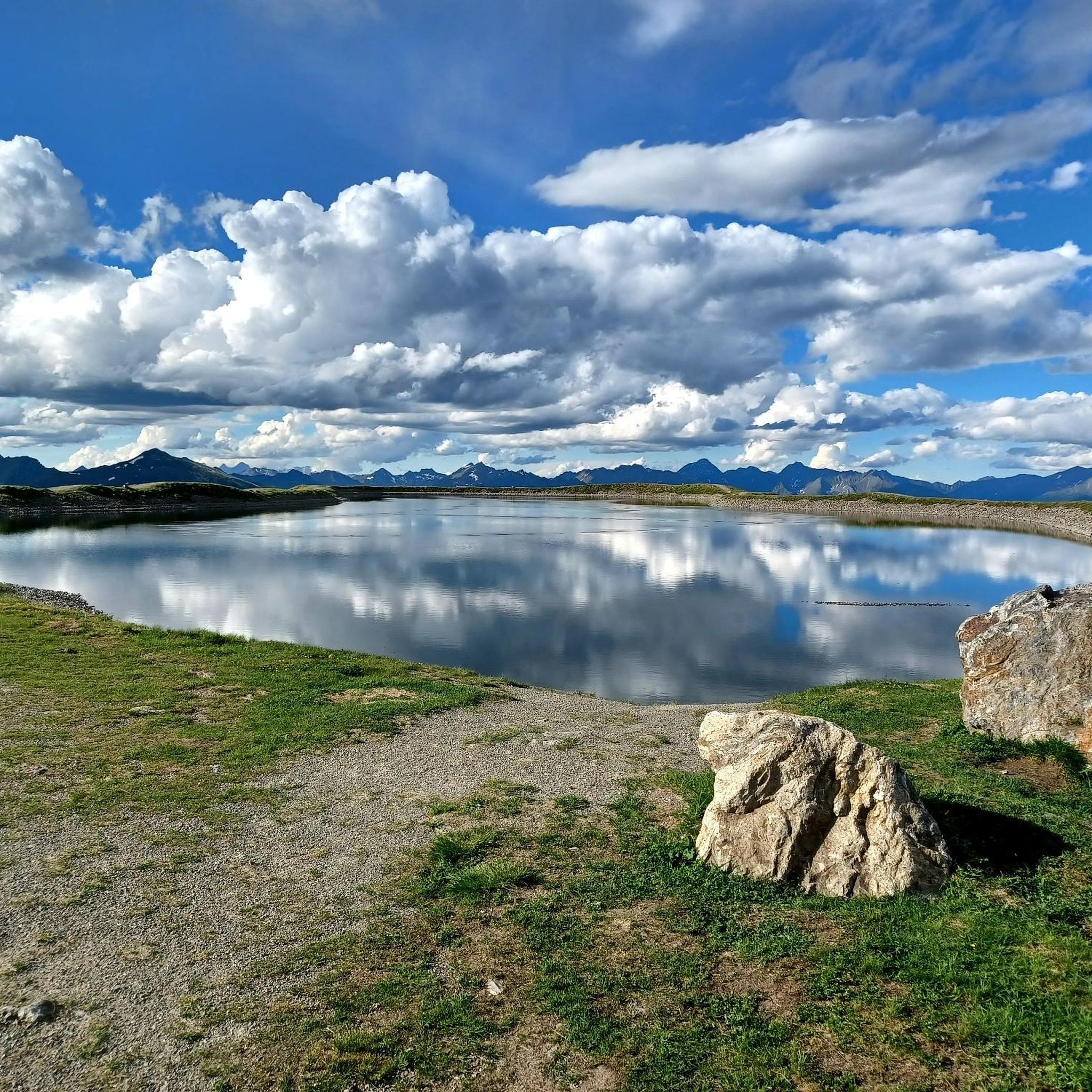
Hiking around Rennweg am Katschberg
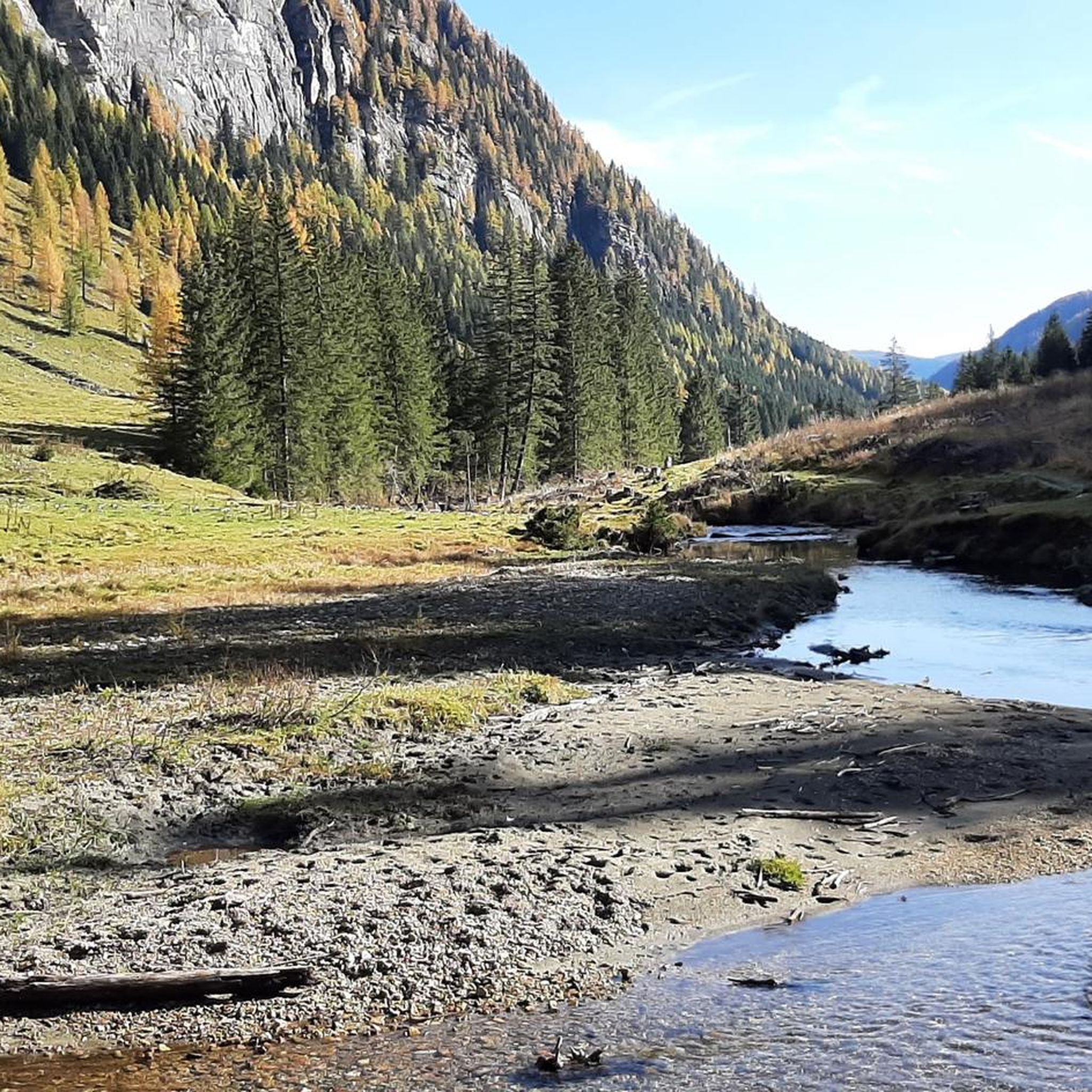
Road Cycling Routes around Rennweg am Katschberg
MTB Trails around Rennweg am Katschberg
Cycling around Rennweg am Katschberg
Other adventures around Rennweg am Katschberg


Tips from the Community

Grandiose panoramic view into the Tauern, the Lieser Valley and the Lungau.
0
0

Excellent gondola service that quickly transports you to the well-presented ski area. Plenty of parking available.
8
0

They are currently under construction, so you can't go to the lake. :(
0
0

The hut is called Branntweiner Hütte (or Alm). The name is incorrect here in Komoot. I've reported it; we'll see if it gets corrected.
2
0

Recommended stop for mountain bikers with beautiful views and good restaurants.
2
0

Lovingly designed wooden bench with hearts and a signpost pointing towards the Gamskogelhütte.
0
1
Idyllic path with a bench and beautiful views. It connects, among other things, the Gamskogelhütte with the Pritzhütte.
0
0
Here at the chapel people like to say yes
9
0
Frequently Asked Questions
How many running routes are available in Rennweg am Katschberg?
Rennweg am Katschberg offers a comprehensive network of nearly 60 running routes. These trails cater to various preferences, from gentle paths to challenging mountain runs, ensuring there's an option for every runner.
What kind of terrain can I expect on the running trails in Rennweg am Katschberg?
The region boasts a diverse Alpine landscape, characterized by the Gurktaler Alps and Nockberge mountains. You'll find a mix of rolling Alpine fields, dense pine forests, and paths along the Lieser River. Altitudes range significantly, providing varied terrain from accessible paths to more challenging mountainous sections.
Are there running options for different fitness levels?
Yes, Rennweg am Katschberg provides a wide range of running routes suitable for all fitness levels. You can find easy, moderate, and difficult trails. For instance, there are 7 easy routes for beginners, 34 moderate options, and 18 challenging paths for experienced trail runners.
Which running routes offer the most scenic views?
Many routes provide breathtaking panoramas of the Gurktaler Alps and Nockberge mountains. For impressive vistas, consider routes that gain elevation, such as the Reitereck loop from Leonhardhütte, which climbs over 1,100 meters. The Pöllatal Nature Reserve also offers incredibly scenic paths along the Lieser River.
Are there any circular running routes in Rennweg am Katschberg?
Yes, many of the running trails in Rennweg am Katschberg are designed as circular routes, allowing you to start and finish at the same point. Examples include the popular Marienkapelle Gamskogel – Gamskogel Hut loop from Katschberg and the more challenging Gontal Saddle – Pritz Hut loop from Katschberg.
Can I find running routes that pass by natural attractions like waterfalls?
Absolutely. The region is home to natural features like the Gontal Waterfall, which provides an opportunity to experience the power of water up close. While specific running routes directly to the waterfall aren't listed, many trails in the Gontal area, such as the Gontal Pass – Marienkapelle Gamskogel loop from Katschberg, will bring you close to such natural wonders.
Are there any mountain huts along the running trails where I can take a break?
Yes, the region features several mountain huts that offer excellent spots for a break. The Pritzhütte is located along the Gontal Saddle – Pritz Hut loop from Katschberg. Other notable huts in the vicinity include the Osnabrücker Hut and the Neue Bonner Hut.
What do other runners enjoy most about jogging in Rennweg am Katschberg?
The running routes in Rennweg am Katschberg are highly rated by the komoot community, with an average score of 4.2 stars from over 60 reviews. Runners frequently praise the untouched nature, breathtaking views, and the fresh mountain air, as well as the variety of trails available for different skill levels.
Are there any family-friendly running paths or themed trails?
While not exclusively running paths, the region offers family-friendly themed trails like the 'Königsweg' nature discovery trail, which features interactive stations. Many of the easier, accessible paths, particularly those in the Pöllatal Nature Reserve along the Lieser River, are suitable for families looking for a gentle run or walk.
What are some notable landmarks or points of interest I might encounter while running?
Beyond the stunning natural landscapes, you might encounter significant mountain passes like Eisentalhöhe 2,042 m or the Gontal Pass. The Pöllatal Nature Reserve itself is a major highlight, offering a unique 'Stream Adventure' trail. Additionally, the Katschberg Pass is a popular starting point for many routes.
Is it possible to access running routes using public transport?
Rennweg am Katschberg is generally well-connected for outdoor activities. While specific public transport links to every trailhead aren't detailed, the Katschberg Pass is a central hub and starting point for many routes, which often have public transport access. It's advisable to check local bus schedules for connections to specific trailheads.
Are there any less crowded running trails for a more peaceful experience?
To find less crowded trails, consider exploring routes slightly off the main Katschberg Pass area or opting for longer, more challenging runs, as these naturally attract fewer people. The extensive network means you can often find quieter paths, especially during off-peak hours or seasons. The Pöllatal Nature Reserve, with its ban on motor vehicles during summer, offers a particularly peaceful environment.
Most popular routes around Rennweg am Katschberg
Most popular attractions around Rennweg am Katschberg

Get inspired with the komoot mobile app


Explore more
Browse the best Running Trails & Routes in other regions.
