The best walks and hikes around Artington
4.6
(2378)
16,411
hikers
876
hikes
Hiking around Artington offers diverse landscapes, situated at the southern edge of Guildford within the Surrey Hills Area of Outstanding Natural Beauty. The terrain features rolling hills, river valleys, and sections of the North Downs Way. This area provides a mix of natural beauty and historical points of interest, including prominent hills and the River Wey.
Best hiking trails around Artington
- The most popular hiking route is Shalford Three Peaks — Surrey Hills, a 8.4 miles (13.4 km) trail…
Last updated: October 4, 2026
4.7
(74)
323
hikers
13.4km
03:43
240m
240m
Embark on the Shalford Three Peaks — Surrey Hills trail, a moderate hike covering 8.3 miles (13.4 km) with 792 feet (241 metres) of elevation gain, typically taking around 3…
4.8
(30)
75
hikers
Hike a moderate 6.8-mile loop from Shalford, exploring St Martha's Hill, Chilworth Gunpowder Works, and the River Wey.

4.5
(14)
75
hikers
7.10km
01:59
130m
130m
Moderate hike. Great for any fitness level. Mostly accessible paths. Sure-footedness required.
4.6
(8)
49
hikers
6.64km
01:48
90m
100m
Embark on the Scholar's Trail, an easy hiking route that guides you through the varied landscapes of the Surrey Hills National Landscape. This pleasant loop covers 4.1 miles (6.6 km)…
4.0
(3)
29
hikers
9.92km
02:31
20m
20m
Moderate hike. Good fitness required. Mostly accessible paths. Sure-footedness required.
Get access to more routes and recommendations from other explorers.
Already have an account?
Our route recommendations are based on thousands of hikes, rides, and runs completed by other people on komoot.
Start today with a free account
Your next adventure awaits.
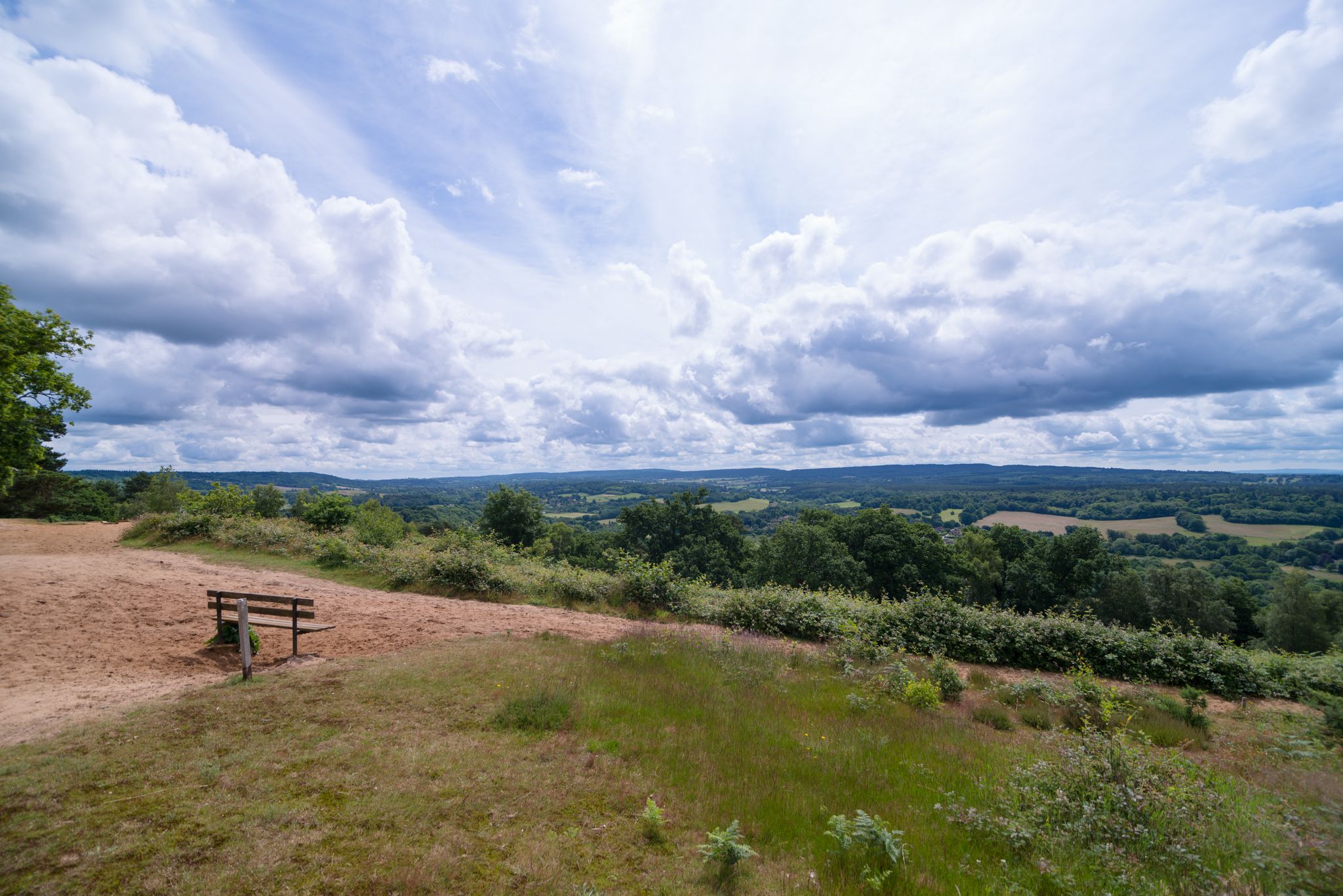
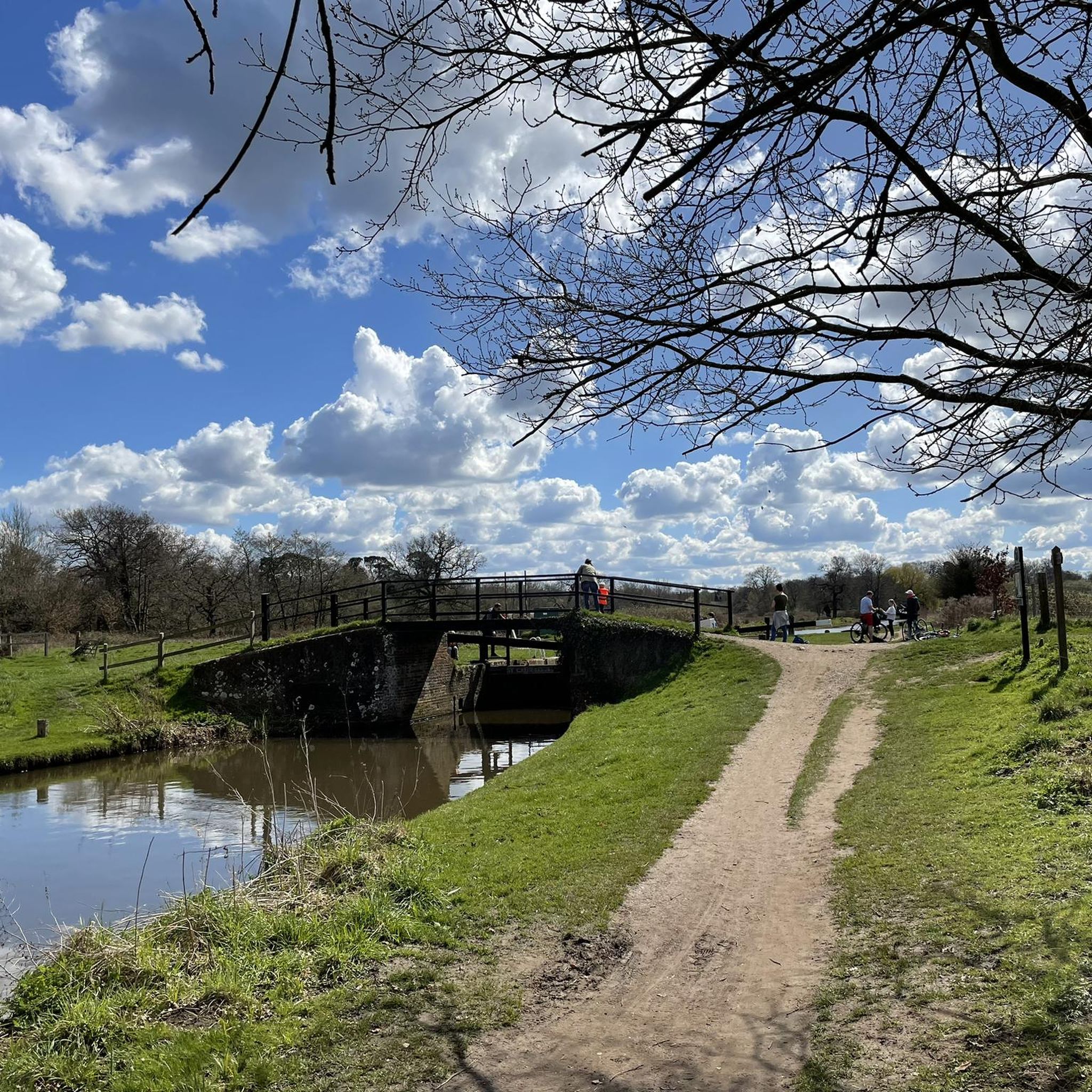
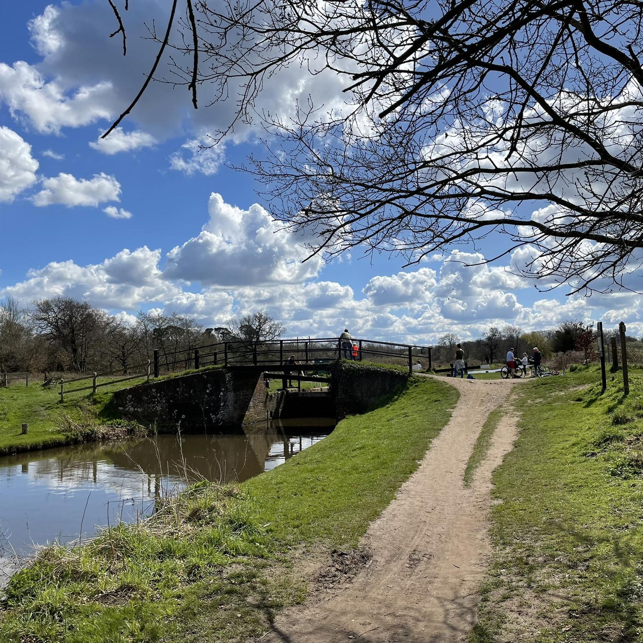
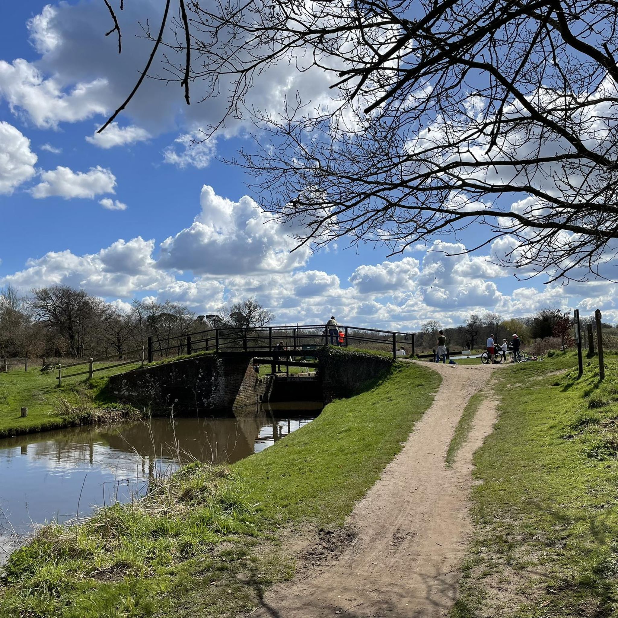

Other adventures around Artington

Tips from the Community

Added to the collection: komoot.com/de-de/collection/3600632/-naturdenkmaeler-besondere-baeume-und-weitere-schaetze-der-natur
0
0

This 18th-century watermill is a reminder of the Tillingbourne Valley's industrial past. At the peak of industry, there were 24 known mills along the 11 mile (18 km) course of the river. Today, the mill is managed and cared for by the National Trust.
0
0

The lakes are just as beautiful as the pleasant wooden path through the marshland. It's very quiet here, although you can hear the noise of the nearby highway. Nevertheless, you can find and enjoy the silence here - we were thrilled by this little paradise!
1
0

Lovely track along the downs link / pilgrims way
0
0

Stoke Lock is a uniquely historic, well maintained and picturesque lock on the River Wey Navigation. It is situated 2 km northeast of central Guildford in Surrey. Stoke Lock has the distinction of being the oldest lock in Surrey and the oldest pound lock in England! A pound lock is where two sets of gates enclose a small section of water. The original Stoke Lock was dug in 1618-1619 by Sir Richard Weston, a wealthy landowner who lived nearby at Sutton Place. Weston created this lock not for river navigation but to make a man-made river through the grounds of Sutton Place so that he could flood meadows to improve local agriculture. Later Weston had the idea of extending his ‘new river’ all the way to the River Thames. This led to him leading and part-funding the construction of the Wey Navigation that opened in 1653. This canal provided a ‘highway’ to London for Guildford and Surrey merchants. Since 1964 the Wey Navigation has been managed by the National Trust as a leisure waterway for narrowboats and small cruisers. Despite its proximity to the Slyfield Industrial Estate, Stoke Lock has a beautiful setting. It is pleasant and relaxing to stroll past the lock and to see the brightly-coloured narrow boats passing through it. The adjacent lock-keeper’s cottage that was built in 1882 to replace an earlier one, adds to the historic and picturesque scene.
1
0

Picturesque old lock with cottage on the Wey navigation
0
0

If you get to the top of the hill early enough, you can enjoy beautiful views of the sunrise.
3
0

The Mount is a historic mound build in the 11th-century as a vantage point to survey the area. These days, The Mount is a popular spot for walkers and cyclists who are looking for some beautiful views over the town of Guildford. Expect delightful vistas stretching to Guildford Castle, St. Mary's Church, and the Guildford Cathedral.
1
0
Frequently Asked Questions
What kind of hiking terrain can I expect around Artington?
Artington, situated at the southern edge of Guildford, offers a varied landscape for hikers. You'll find rolling hills, tranquil river valleys along the River Wey, and sections of the renowned North Downs Way. The area provides a mix of natural beauty and historical points of interest, with some routes featuring moderate ascents and descents.
Are there hiking options for beginners or those looking for an easy walk?
Yes, Artington offers numerous easy hiking options. Out of nearly 900 routes in the area, over 500 are classified as easy. These often include gentler paths along the River Wey or through less elevated sections of the Surrey Hills. For a relatively flat and accessible option, consider the Scholar's Trail, an easy 4.1-mile (6.6 km) route.
What historical landmarks or natural features can I see while hiking in Artington?
Hiking in Artington allows you to explore several historical and natural points of interest. You can encounter the ruins of the 13th-century St Catherine's Chapel on St Catherine's Hill, or the historical Chilworth Gunpowder Works. Natural features include the scenic River Wey and the prominent St Martha's Hill. For a route that combines natural beauty with historical landmarks, try the St Martha's Hill, Chilworth Gunpowder Works & the River Wey loop from Shalford.
Are there any circular hiking routes available in the Artington area?
Yes, many of the hiking trails around Artington are designed as circular routes, allowing you to start and finish at the same point. This is ideal for convenience, especially if you're driving. An example is the Guildford to The Mount loop — Surrey Hills, which offers a moderate 4.4-mile (7.1 km) circular path through the scenic Surrey Hills.
What is the best time of year to go hiking in Artington?
Artington offers enjoyable hiking experiences throughout the year, with each season presenting its unique charm. Spring brings blooming wildflowers, while summer provides longer daylight hours for extended walks. Autumn showcases vibrant foliage across the Surrey Hills, and winter, though cooler, can offer crisp, clear views. Always check local weather conditions before heading out.
Are there any family-friendly hiking trails in Artington?
Absolutely. Artington has many trails suitable for families, often featuring gentler gradients and interesting sights. Paths along the River Wey, such as the Millmead to Riverside Nature Reserve via River Wey, are generally flatter and offer pleasant riverside views, making them a good choice for walks with children.
Can I bring my dog on the hiking trails in Artington?
Many trails in and around Artington are dog-friendly, allowing you to enjoy the outdoors with your canine companion. However, it's always recommended to keep dogs on a lead, especially in areas with livestock or near roads, and to respect local signage regarding dog access. The varied landscapes, from open hills to riverside paths, provide plenty of options for walks with your dog.
What are some notable natural attractions or viewpoints near Artington?
Beyond the trails themselves, Artington is close to several natural attractions and viewpoints. You can visit the tranquil Silent Pool, explore the Guildford Castle Grounds for scenic views, or discover the ancient Yew Trees at Newlands Corner. These spots offer additional opportunities to appreciate the natural beauty of the Surrey Hills.
How many hiking routes are available in the Artington area?
There are nearly 900 hiking routes available around Artington, catering to a wide range of preferences and fitness levels. This extensive network includes paths through rolling hills, river valleys, and sections of the North Downs Way, ensuring plenty of options for exploration.
What do other hikers say about the trails in Artington?
The hiking trails in Artington are highly regarded by the komoot community, with an average rating of 4.6 stars from over 2000 reviews. Hikers frequently praise the diverse landscapes, the well-maintained paths, and the blend of natural beauty with historical interest found along the routes.
Are there any long-distance hiking opportunities near Artington?
Yes, Artington is notably crossed by the North Downs Way, a long-distance footpath that offers extensive hiking opportunities. This trail provides scenic views and connects to a broader network for those interested in longer, multi-day excursions or extended day hikes.
Where can I find parking for hiking trailheads in Artington?
Parking availability varies depending on the specific trailhead. Many popular starting points for trails in and around Artington, especially those near villages like Shalford or Guildford, offer designated parking areas. It's advisable to check the specific route details on komoot for information on parking facilities near your chosen starting point.
Most popular attractions around Artington

Get inspired with the komoot mobile app


Explore more
Browse the best Hikes in other regions.
