The best mountain hikes around Bezirk Hermagor
4.9
(101)
855
hikers
63
hikes
Mountaineering routes around Bezirk Hermagor are primarily shaped by the majestic Carnic Alps and the diverse Gailtal Alps, offering a wide array of challenging terrain. This southern Austrian region features high peaks, limestone formations, and deep gorges, alongside picturesque alpine lakes like Wolayersee and Weissensee. The landscape transitions from rugged, high-alpine environments along the Italian border to more idyllic valleys and meadows, providing varied conditions for mountaineers.
Best mountaineering routes around Bezirk Hermagor
- The most popular mountaineering route is Wolayer…
Last updated: July 6, 2026
4.5
(4)
86
hikers
Hard mountaineering route. Good fitness required. Sure-footedness, sturdy shoes and alpine experience required.
5.0
(8)
68
hikers
Hard mountaineering route. Good fitness required. Sure-footedness, sturdy shoes and alpine experience required.

Sign up for free
5.0
(9)
54
hikers
Hard mountaineering route. Good fitness required. Sure-footedness, sturdy shoes and alpine experience required.
5.0
(9)
52
hikers
Hard mountaineering route. Good fitness required. Sure-footedness, sturdy shoes and alpine experience required.
5.0
(4)
36
hikers
8.89km
06:26
890m
890m
Hard mountaineering route. Very good fitness required. Sure-footedness, sturdy shoes and alpine experience required.
5.0
(5)
34
hikers
Hard mountaineering route. Very good fitness required. Sure-footedness, sturdy shoes and alpine experience required.
5.0
(1)
30
hikers
2.58km
01:23
260m
260m
Hard mountaineering route. Great for any fitness level. Sure-footedness, sturdy shoes and alpine experience required.
5.0
(3)
27
hikers
10.1km
04:04
600m
600m
Moderate mountaineering route. Good fitness required. Mostly accessible paths. Sure-footedness required.
4.7
(6)
21
hikers
Hard mountaineering route. Very good fitness required. Sure-footedness, sturdy shoes and alpine experience required.
5.0
(2)
19
hikers
Hard mountaineering route. Very good fitness required. Sure-footedness, sturdy shoes and alpine experience required.
Get access to more routes and recommendations from other explorers.
Sign up for free
Already have an account?
Our route recommendations are based on thousands of hikes, rides, and runs completed by other people on komoot.
Start today with a free account
Your next adventure awaits.
Login or Signup
Popular around Bezirk Hermagor

Mountain Hikes around Lesachtal
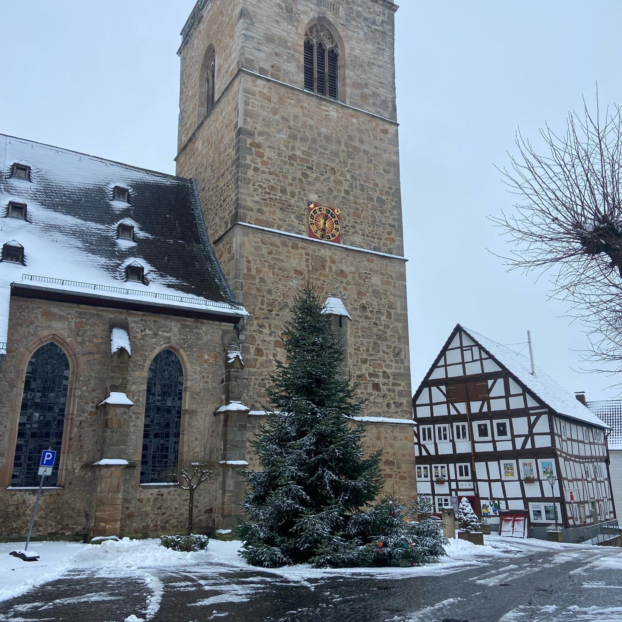
Mountain Hikes around Hermagor-Pressegger See
Mountain Hikes around Kötschach-Mauthen

Mountain Hikes in Eggforst

Mountain Hikes around Dellach
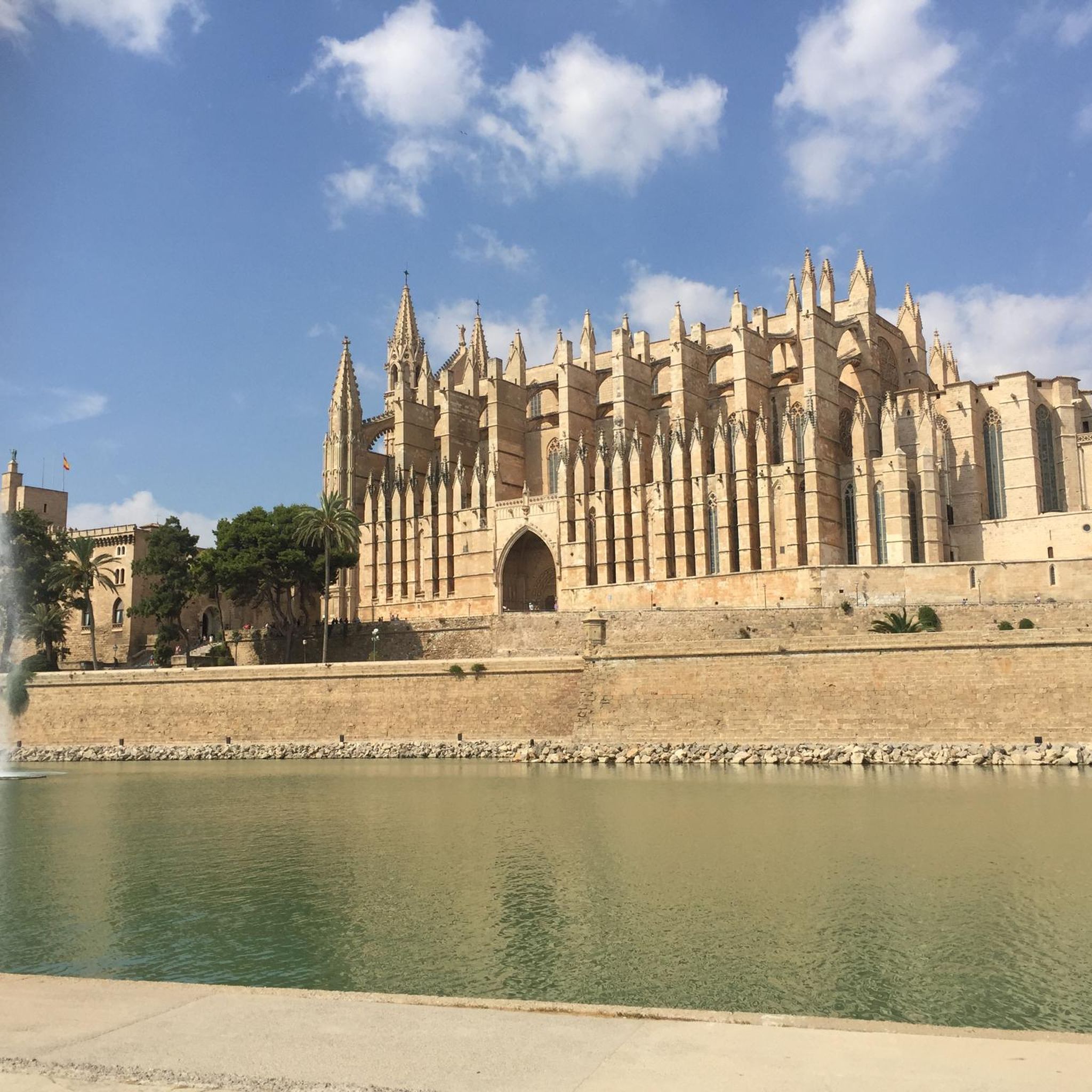
Mountain Hikes around Sankt Stefan im Gailtal

Mountain Hikes around Gitschtal

Mountain Hikes around Kirchbach

Mountain Hikes around Lake Pressegg
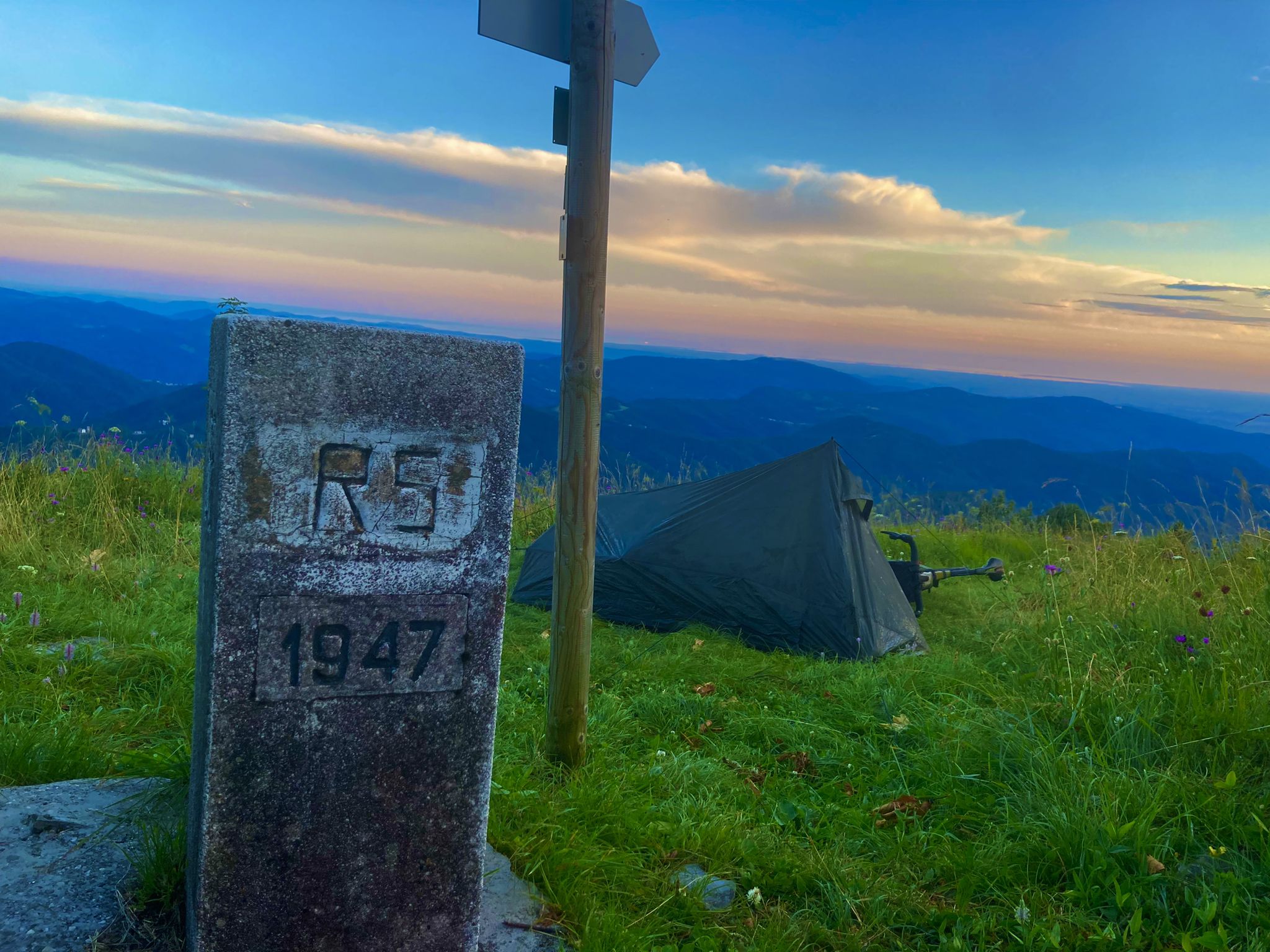
From Bavaria to the Adriatic - My Bikepacking Adventure to Croatia 2023
Other adventures around Bezirk Hermagor


Tips from the Community

Not so long and high, but still quite demanding in places
0
0
You can always stop for refreshments
0
0

You can observe marmots up close here! 👀
2
0
For flower lovers, the Gartnerkofel is a must-see! The Kuhtritts, a rare and endemic mountain flower, can be found here! ...
2
0

A wartime tunnel from World War I
0
0

Difficult hike category! Trekking poles/hiking sticks are recommended, especially for the descent. The final climb is very steep and has a lot of loose rock. Start early so you can walk the first section in the shade.
0
0
Frequently Asked Questions
How many mountaineering routes are available in Bezirk Hermagor?
Bezirk Hermagor offers a comprehensive network of over 70 mountaineering routes. These routes cater to various skill levels, with 21 classified as moderate and 51 as difficult, ensuring a suitable challenge for most mountaineers.
What are the typical difficulty levels for mountaineering in Bezirk Hermagor?
The mountaineering routes in Bezirk Hermagor are predominantly rated as moderate to difficult. You'll find 21 moderate routes, which are still demanding but generally more accessible, and 51 difficult routes, often involving significant elevation gain and challenging terrain in the Carnic and Gailtal Alps.
Are there any family-friendly mountaineering options in Bezirk Hermagor?
While many routes are challenging, some moderate options can be suitable for families with older, experienced children. For example, the Garnitzenklamm Gorge – Ida Warte Waterfall loop from Hermagor-Pressegger See is a moderate route that offers stunning natural beauty, including a waterfall, and is a great way to experience the region's landscape without extreme difficulty.
What natural features or landmarks can I expect to see along the mountaineering routes?
Bezirk Hermagor is rich in natural wonders. You can explore the 10,000-year-old Garnitzen Gorge with its emerald-green streams, or discover picturesque alpine lakes like Wolayersee. The region also features impressive rock formations, such as those in the Gailtal Alps, and offers panoramic views from peaks like Gartnerkofel. You might also encounter waterfalls like the Waterfall at Bridge 9 or the Zucher Waterfall.
Are there any circular mountaineering routes in the region?
Yes, many routes in Bezirk Hermagor are designed as loops, allowing you to start and finish at the same point. A notable example is the challenging Wolayer Lake – Valentintörl loop from Almgasthof Valentinalm, which takes you through high-alpine terrain around the scenic Wolayersee.
What is the best time of year for mountaineering in Bezirk Hermagor?
The best time for mountaineering in Bezirk Hermagor is typically from late spring to early autumn (roughly June to September). During these months, the weather is generally more stable, snow has melted from higher elevations, and mountain huts are open. Always check local weather forecasts and trail conditions before heading out, as high-alpine conditions can change rapidly.
What are some routes that offer exceptional panoramic views?
For breathtaking vistas, consider the Gartnerkofel – Gartnerkofel Summit loop from Nassfeldpass. The Gartnerkofel itself is known for its panoramic terrace and 'Sky Plate,' offering views of the Jôf di Montasio in Italy, the Mangàrt, and even Austria's highest mountain, the Großglockner, on clear days. The summit plateau of the Madritsche also provides fantastic views of the wide Nassfeld and the Julian Alps.
Can I bring my dog on the mountaineering trails in Bezirk Hermagor?
Many trails in Bezirk Hermagor are generally dog-friendly, but it's crucial to be aware of local regulations, especially in protected areas or near grazing livestock. Always keep your dog on a leash, carry waste bags, and ensure your dog is fit enough for the chosen route's difficulty and length. Some routes, particularly those with via ferrata sections or very steep, exposed terrain, may not be suitable for dogs.
Are there any routes that pass through historically significant areas?
Yes, the Carnic Alps, which form part of the region, hold significant historical importance. Trails like the Trail junction – Mount Cellon loop from Passo di Monte Croce Carnico pass through areas where battles were fought during World War I. You might encounter remnants such as tunnels and caves, offering a unique historical dimension to your mountaineering experience.
What is the general experience of other mountaineers in Bezirk Hermagor?
The mountaineering routes in Bezirk Hermagor are highly regarded by the komoot community, holding an impressive average rating of 4.9 out of 5 stars from over 140 reviews. Mountaineers frequently praise the diverse terrain, the stunning high-alpine scenery, and the challenging yet rewarding ascents found throughout the Carnic and Gailtal Alps.
Are there any routes suitable for beginners looking to try mountaineering?
While many routes are difficult, beginners with good fitness can start with some of the moderate routes available. These routes, such as the Egger Alm – Poludnig Summit loop from Parkplatz Egger Alm, offer a taste of mountaineering with less extreme technical demands, allowing you to build experience and confidence in the alpine environment.
What are the typical starting points for mountaineering routes, and is parking available?
Many mountaineering routes in Bezirk Hermagor start from well-known passes, alpine pastures, or valley towns. For instance, routes often begin near Passo di Monte Croce Carnico / Plöckenpass or from Almgasthof Valentinalm. Parking is generally available at these popular trailheads, though it's advisable to arrive early during peak season to secure a spot.
Can I access mountaineering routes using public transport?
Accessing some mountaineering routes in Bezirk Hermagor via public transport can be challenging, as many trailheads are in remote alpine areas. While some valley towns and larger villages have bus connections, reaching specific starting points high in the mountains often requires a car. It's best to research specific route access in advance and consider local taxi services or shuttle buses if available for certain popular areas.
Most popular routes around Bezirk Hermagor
Most popular attractions around Bezirk Hermagor

Get inspired with the komoot mobile app


Didn’t find what you were looking for?
Check out more Mountain Hikes & Routes throughout Bezirk Hermagor below and find the perfect route in your destination.
Explore more
Browse the best Mountain Hikes & Routes in other regions.
