The best walks and hikes around Pulborough
4.6
(1790)
10,114
hikers
44
hikes
Hiking around Pulborough offers a network of trails through the West Sussex countryside, characterized by its position within the Arun Valley and proximity to the South Downs National Park. The landscape features gentle hills, river floodplains, and areas of significant natural interest such as nature reserves. Hikers can expect routes that traverse open fields, woodland sections, and paths alongside waterways.
Best hiking trails around Pulborough
- The most popular hiking route is St Mary's Church, Pulborough – Wiggonholt Bird Sanctuary loop from Pulborough, a 5.9 miles (9.5 km) trail that takes 2 hours 29 minutes to complete. This route offers views of the historic church and passes through the Wiggonholt Bird Sanctuary.
- Another top favourite among local hikers is View of Stopham Bridge – Stopham Bridge loop from Pulborough, a moderate 7.3 miles (11.7 km) path. This trail features scenic views of the historic Stopham Bridge and the surrounding river landscape.
- Local hikers also love the Little Hangar Hide – Wiggonholt Church loop from Pulborough Brooks Nature Reserve, a 3.7 miles (5.9 km) trail leading through the Pulborough Brooks Nature Reserve, often completed in about 1 hour 32 minutes.
- Hiking around Pulborough is defined by river valleys, nature reserves, and gentle hills, offering varied terrain for outdoor exploration. The network provides options for different ability levels, from easy strolls to more moderate excursions.
- The routes in Pulborough are highly rated by the komoot community with an average score of 4.6 stars from over 400 reviews. More than 3000 hikers have used komoot to explore Pulborough's varied terrain.
Last updated: October 2, 2026
5.0
(1)
16
hikers
Easy hike. Great for any fitness level. Easily-accessible paths. Suitable for all skill levels.
5.0
(1)
12
hikers
4.01km
01:04
40m
50m
Easy hike. Great for any fitness level. Easily-accessible paths. Suitable for all skill levels.

7
hikers
10.5km
02:50
150m
150m
Moderate hike. Good fitness required. Easily-accessible paths. Suitable for all skill levels.
4.7
(3)
6
hikers
8.27km
02:16
130m
130m
Moderate hike. Good fitness required. Easily-accessible paths. Suitable for all skill levels.
4.0
(2)
6
hikers
14.5km
03:51
150m
150m
Moderate hike. Good fitness required. Easily-accessible paths. Suitable for all skill levels.
Get access to more routes and recommendations from other explorers.
Already have an account?
Our route recommendations are based on thousands of hikes, rides, and runs completed by other people on komoot.
Start today with a free account
Your next adventure awaits.

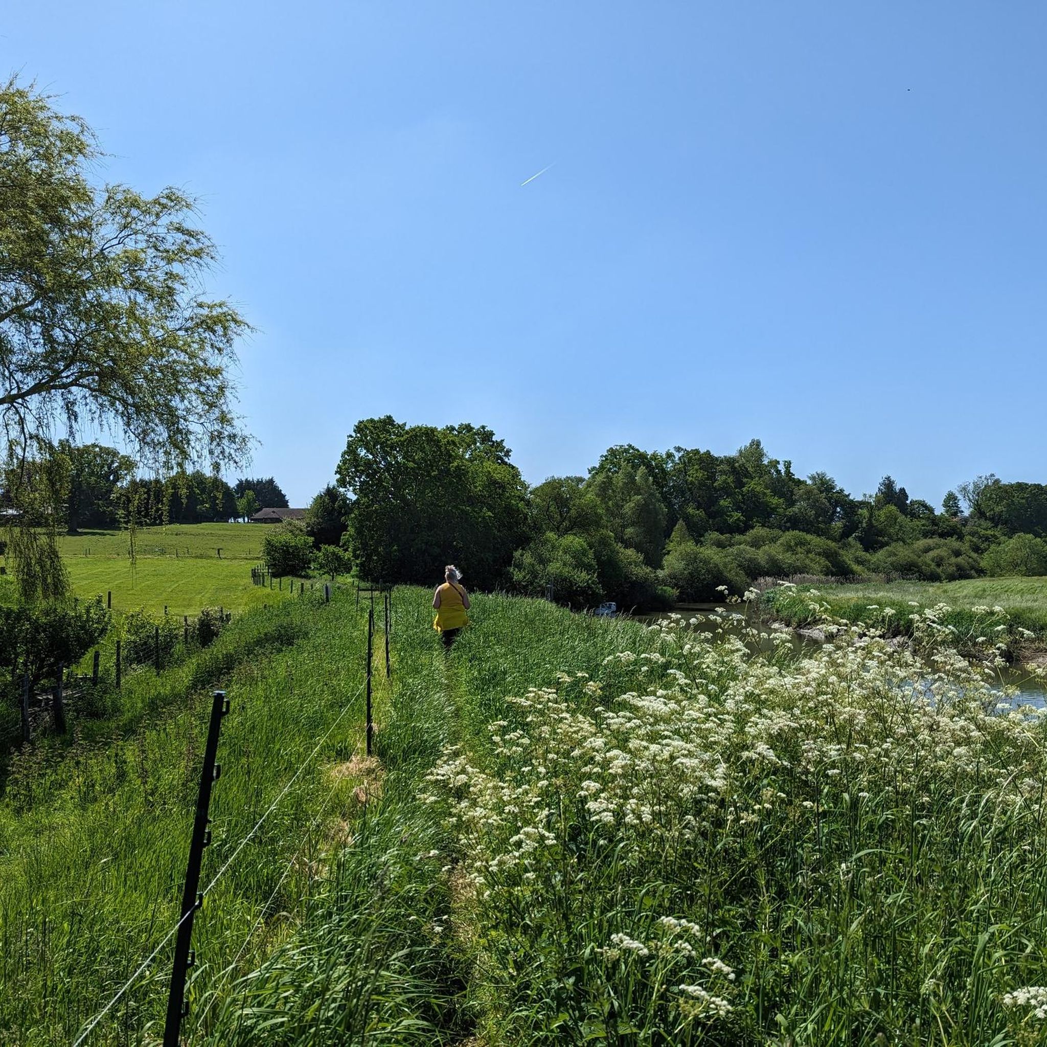
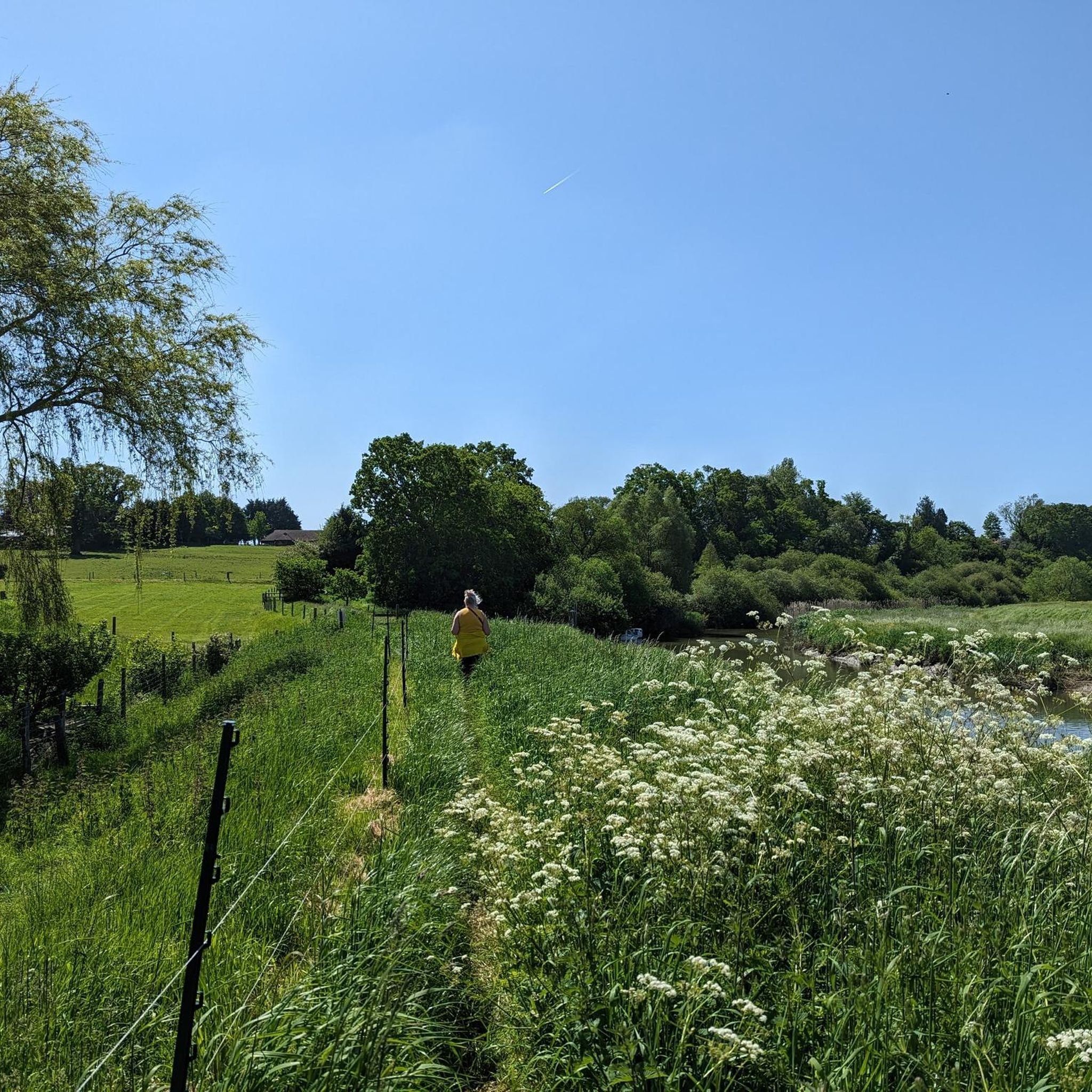
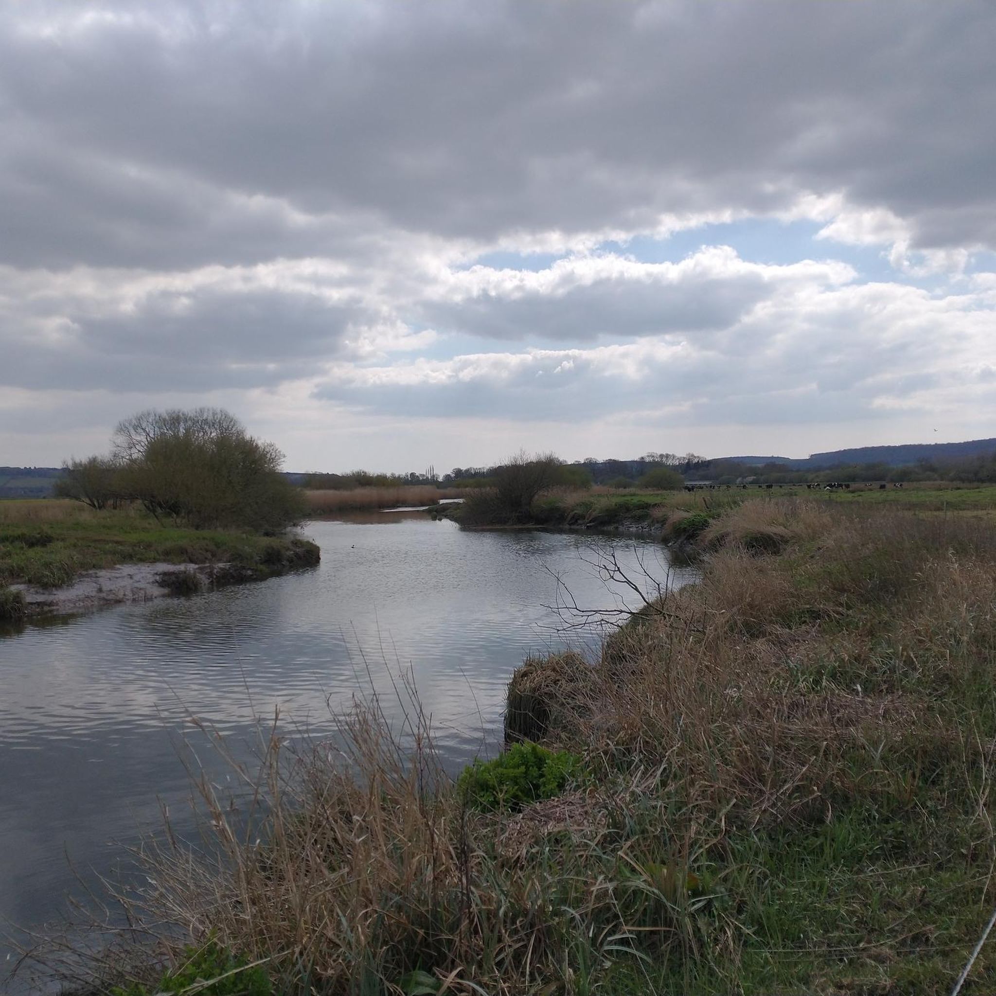
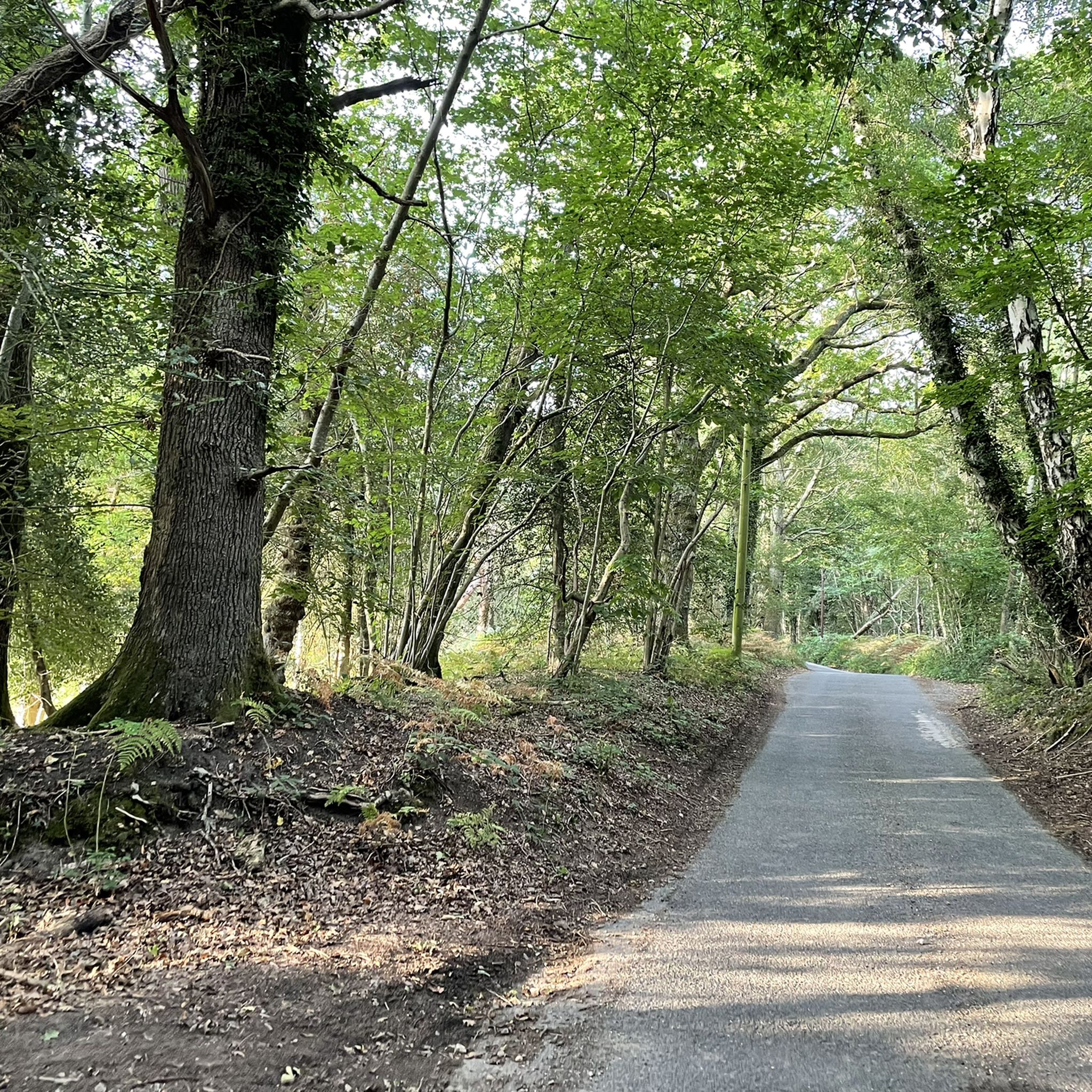

Other adventures around Pulborough

Tips from the Community


The White Hart is located by the River Arun next to the Stopham Bridge. There's a terrace outside next to the river as well as comfortable seating inside.
0
0

Well I have to be honest this is just what is needed after a bit of a hike. Nothing as peaceful as being able to sit down for a break on a proper bench with a glorious view out onto the surrounding woodland.
0
0

Mixed woodland on a steep slope leading down to Stopham Bridge on the River Arun. A scenic and quieter alternative to the busy Stopham Road.
0
0

Great chance to enjoy some free miles, depending on which way you are travelling
0
0

Amazing coffee shop on Pullborough high street, great cakes and good coffee (accepts cards!)
0
0

Frequently Asked Questions
How many hiking trails are available around Pulborough?
There are over 40 hiking routes around Pulborough, offering a variety of experiences from easy strolls to more moderate excursions. The komoot community has explored these trails over 3000 times.
What do other hikers enjoy most about the trails in Pulborough?
The trails around Pulborough are highly rated by the komoot community, with an average score of 4.6 stars. Hikers frequently praise the diverse landscape, which includes river floodplains, gentle hills, and nature reserves, as well as the well-maintained paths suitable for various ability levels.
Are there easy, family-friendly hikes in Pulborough?
Yes, Pulborough offers several easy and family-friendly hikes. A good option is the Little Hangar Hide – Wiggonholt Church loop from Pulborough Brooks Nature Reserve, which is 3.7 miles (5.9 km) long and takes about 1 hour 30 minutes. This route is relatively flat and passes through the scenic Pulborough Brooks Nature Reserve, making it suitable for families.
Are there any circular walks around Pulborough?
Many of the routes around Pulborough are circular, allowing you to start and end at the same point. For example, the popular St Mary's Church, Pulborough – Wiggonholt Bird Sanctuary loop from Pulborough is a 5.9-mile (9.5 km) circular trail that offers views of the historic church and passes through a bird sanctuary.
What kind of natural attractions can I see along the hiking trails?
Pulborough's trails often lead through areas of significant natural interest. You can explore the Burton and Chingford Ponds Local Nature Reserve, or enjoy the views from various points along the Arun Valley. The area is also known for its birdlife, particularly around the Wiggonholt Bird Sanctuary.
Are there any historical landmarks or viewpoints to discover?
Yes, the region is rich in history and offers scenic viewpoints. You can see the historic Stopham Bridge along a 7.3-mile (11.7 km) loop trail. Further afield, you might encounter the ancient Chanctonbury Ring hillfort or the Bignor Hill summit with its Roman road signpost, both offering expansive views.
Are the hiking trails around Pulborough dog-friendly?
Most hiking trails around Pulborough are dog-friendly, but it's important to keep dogs on a lead, especially when passing through nature reserves or fields with livestock. Always check local signage for specific restrictions. The varied terrain provides plenty of opportunities for dogs to enjoy the outdoors with you.
What is the best time of year to hike in Pulborough?
Pulborough offers enjoyable hiking year-round. Spring brings blooming wildflowers and active birdlife, while autumn showcases beautiful foliage. Summer is ideal for longer days, but be prepared for sun exposure in open areas. Winter walks can be crisp and clear, though some paths may be muddy, especially in the river floodplains.
Are there options for longer distance hikes in the area?
Yes, for those seeking longer hikes, Pulborough provides several moderate routes. The Freewheel Hill – Vineyard and Windmill loop from West Chiltington is a 10.4-mile (16.8 km) trail with moderate elevation changes, offering a more extended exploration of the local countryside and vineyards.
Is public transport available to access hiking trails in Pulborough?
Pulborough has a train station with connections, making it accessible by public transport. Several bus routes also serve the area. Many trails, particularly those starting from the village center or near the Pulborough Brooks Nature Reserve, are within walking distance of public transport stops.
Are there pubs or cafes along the hiking routes in Pulborough?
Yes, you'll find several traditional pubs and cafes in Pulborough village and surrounding hamlets that are popular with hikers. These establishments offer a chance to refuel with refreshments or a meal, often featuring local produce. It's always a good idea to check opening times, especially in smaller villages.
What should I consider regarding weather when hiking in Pulborough?
The weather in West Sussex can be changeable. Always check the forecast before heading out. Paths in the Arun Valley floodplains can become muddy after rain, so appropriate footwear is essential. In summer, open sections of trails offer little shade, so bring water and sun protection. Layers are recommended for all seasons.
Most popular routes around Pulborough
Most popular attractions around Pulborough

Get inspired with the komoot mobile app


Explore more
Browse the best Hikes in other regions.
