The best mountain hikes around Deutsch-Griffen
4.8
(12)
92
hikers
10
hikes
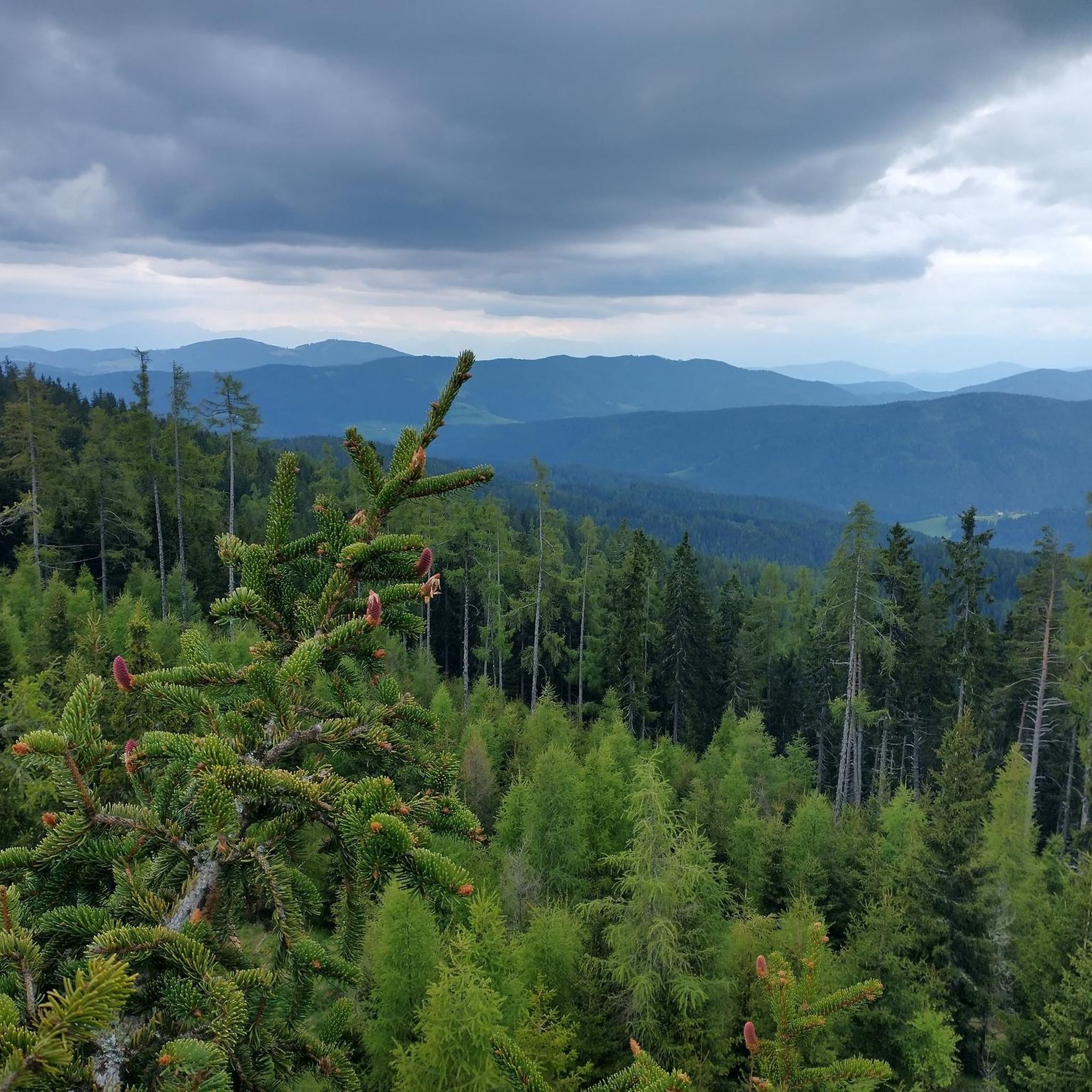
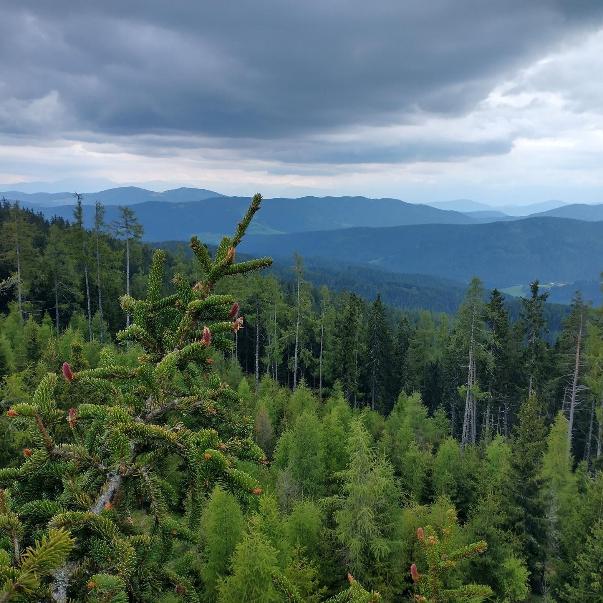
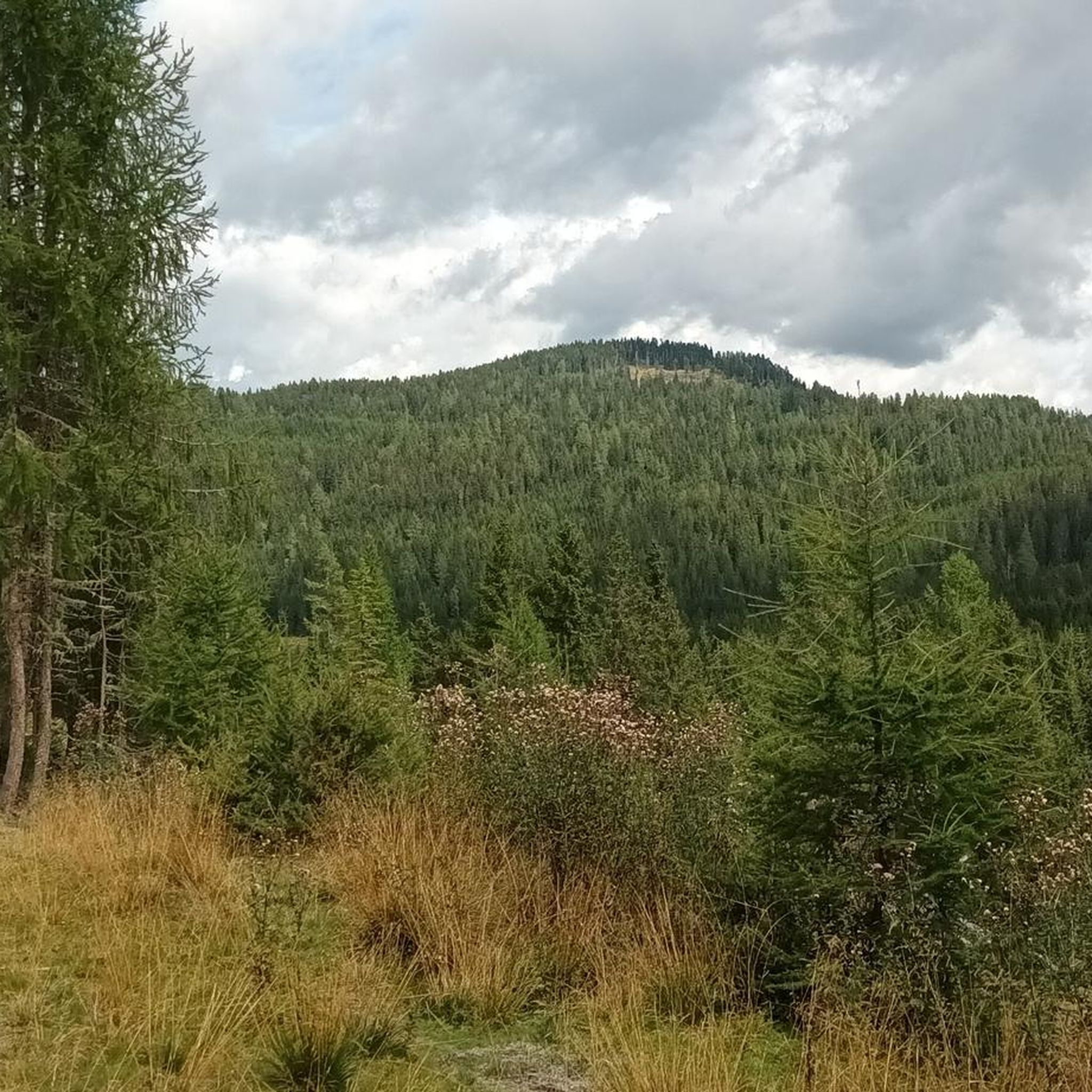
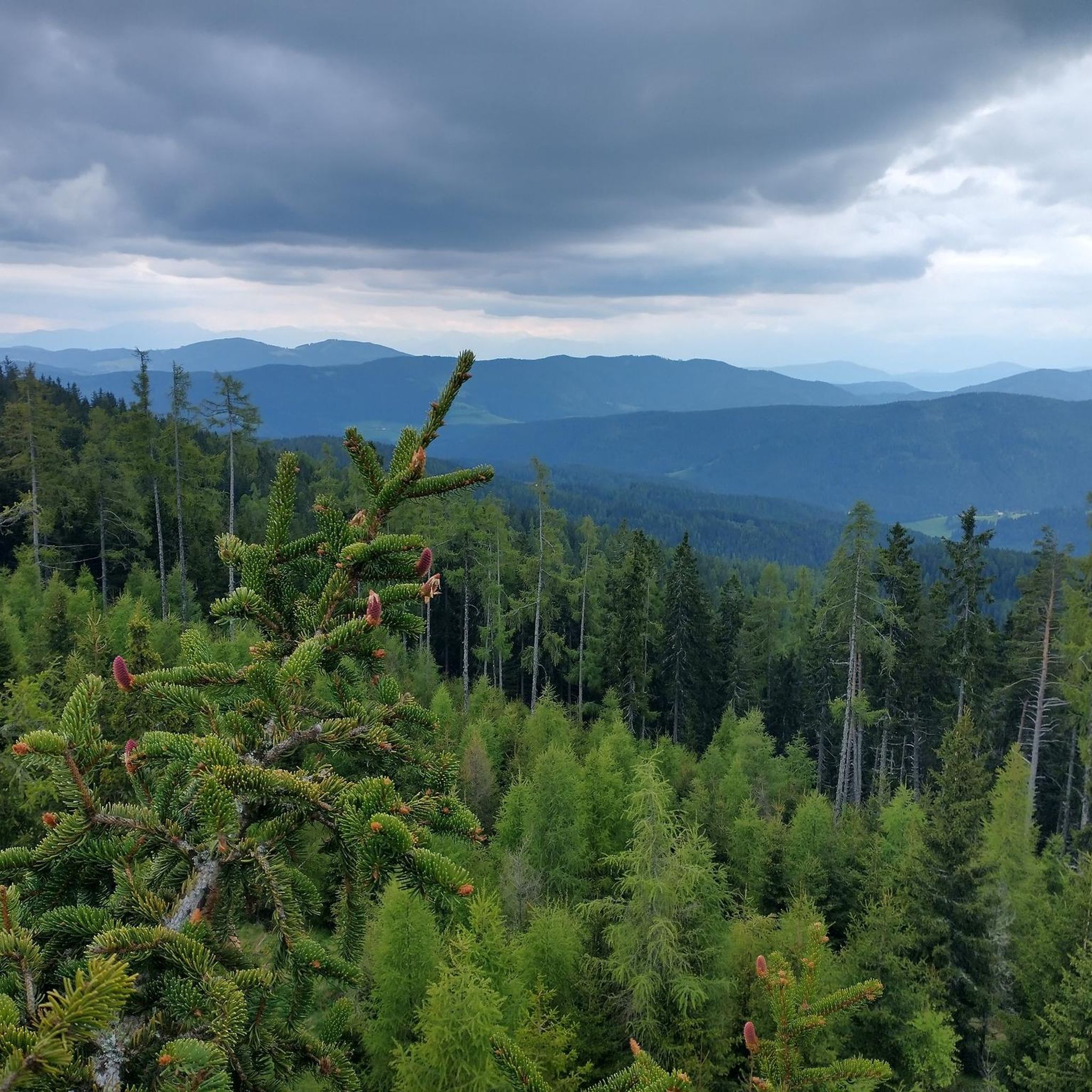
Mountaineering routes Deutsch-Griffen are situated in the eastern Nockberge mountains, offering diverse landscapes from valley floors to higher alpine elevations. The region is characterized by its natural beauty, featuring prominent peaks such as Lattersteig, Wintertaler Nock, and Eisenhut. Mountaineers can expect varied terrain, including challenging ascents and routes that provide far-reaching views across the Nockberge. The municipal area extends from the Gurk River to the Carinthian-Styrian border, encompassing a vast mountain range.
Best mountaineering routes around Deutsch-Griffen
- The most popular…
Last updated: May 13, 2026
4.0
(5)
26
hikers
Hard mountaineering route. Good fitness required. Sure-footedness, sturdy shoes and alpine experience required.
5.0
(3)
19
hikers
Hard mountaineering route. Good fitness required. Sure-footedness, sturdy shoes and alpine experience required.

Sign up for free
5.0
(2)
8
hikers
20.7km
07:05
990m
990m
Hard mountaineering route. Very good fitness required. Mostly accessible paths. Sure-footedness required.
8
hikers
Hard mountaineering route. Good fitness required. Sure-footedness, sturdy shoes and alpine experience required.
7
hikers
18.6km
05:41
650m
650m
Hard mountaineering route. Very good fitness required. Mostly accessible paths. Sure-footedness required.
Get access to more routes and recommendations from other explorers.
Sign up for free
Already have an account?
Our route recommendations are based on thousands of hikes, rides, and runs completed by other people on komoot.
Start today with a free account
Your next adventure awaits.
Login or Signup
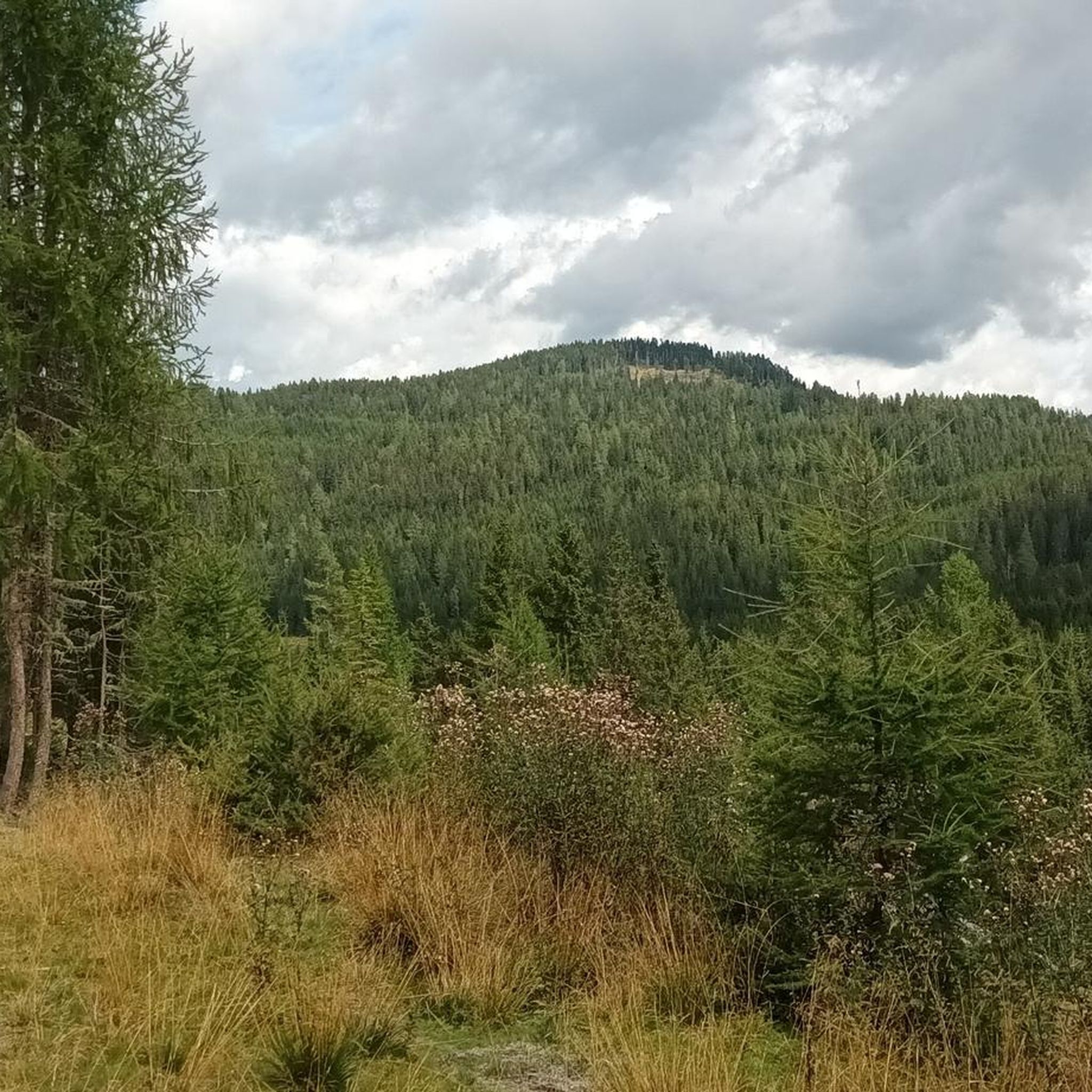
Tips from the Community

Delicious food is available here and the prices are quite reasonable for a mountain hut
0
0
With photo station by Nocky
0
0


At this point, the hiker encounters another small sacred monument. A fieldstone enclosure combined with wooden beams creates a small "sacred area." The wooden crucifix—a cross with the body of the crucified Christ—is topped with a protective gabled roof and a diamond-shaped back wall. It also bears the frequently seen INRI inscription above Christ's head, with another at his feet.
0
0

...the Turracher Höhe is a beautiful hiking area with wonderful views! 🥾❄️🚡👀
4
0
...the Turracher Höhe is a beautiful hiking area with wonderful views! 🥾👀
3
0
...the Turracher Höhe is a beautiful hiking area with wonderful views! 🥾👀
3
0
Frequently Asked Questions
What kind of mountaineering routes can I expect around Deutsch-Griffen?
Deutsch-Griffen, nestled in the eastern Nockberge mountains, offers a diverse range of mountaineering routes. You'll find paths leading from the valley floor up to higher alpine elevations, characterized by stunning natural beauty and incomparable Alpine panoramas. The region provides options for various skill levels, from moderate paths to challenging summit routes.
Are there any moderate mountaineering routes suitable for those looking for a less strenuous climb?
Yes, while many routes are challenging, there are moderate options available. For instance, the Turracher See – Salzsteig Trail loop from Turracher Höhe is a moderate 9.9 km route that takes approximately 3 hours 25 minutes, offering beautiful views of the Nockberge mountains.
What are some of the more challenging summit experiences in the Deutsch-Griffen area?
For those seeking a more demanding ascent and summit experience, the Nockberge mountains offer several options. The Kornock Summit loop from Turracher Höhe is a difficult 8.1 km path providing alpine panoramas. Another challenging option is the Lattersteighöhe (2,265 m) – Anderl Cross loop from Albeck, a difficult 20.7 km route.
Are there any long-distance or full-day mountaineering tours available?
Absolutely. For a longer, more immersive experience, consider the Lattersteighöhe (2,265 m) – Anderl Cross loop from Albeck. This difficult route spans 20.7 km and typically takes over 7 hours to complete, offering extensive exploration of the Nockberge.
What do other mountaineers think about the routes in Deutsch-Griffen?
The mountaineering routes in Deutsch-Griffen are highly regarded by the komoot community, holding an impressive average rating of 4.8 stars from over 16 reviews. Users frequently praise the diverse terrain and the stunning alpine panoramas encountered along the trails.
Are there any circular mountaineering routes in the region?
Yes, many of the mountaineering routes around Deutsch-Griffen are designed as loops, allowing you to start and end at the same point. Examples include the Ridge Hike to Rinsennock – Rinsennock Summit (2,334 m) loop from Turracher Höhe and the Rinsennock Summit (2,334 m) – Ridge Hike to Rinsennock loop from Turracher Höhe.
What natural features or landmarks can I expect to see along the mountaineering routes?
The region is rich in natural beauty. As you ascend, you'll be treated to 'magical far-reaching views' and 'incomparable Alpine panoramas' from higher elevations, especially around the Hochrindl area. Prominent peaks like Rinsennock Summit (2,334 m), Kornock, and Eisenhut Summit are key features, offering fantastic viewpoints.
Are there any specific mountain passes or notable climbs near Deutsch-Griffen?
Yes, the area features several significant mountain passes and climbs. You might encounter the Flattnitz Pass Road, the Hochrindl ascent from Ebene Reichenau, or the Climb to Schiestlscharte from Ebene Reichenau, which are popular points of interest for mountaineers.
What is the best time of year for mountaineering in Deutsch-Griffen?
Deutsch-Griffen is known for its fog-free location, making it appealing for outdoor activities. While specific seasonal recommendations depend on the route's elevation and difficulty, the Nockberge mountains are generally best explored during the warmer months when trails are clear of snow and weather conditions are more stable for mountaineering.
How many mountaineering routes are available in the Deutsch-Griffen area?
There are over 10 distinct mountaineering routes around Deutsch-Griffen documented on komoot, offering a variety of experiences for different skill levels. These include both moderate and difficult options, ensuring there's a suitable challenge for most mountaineers.
Are there any cultural or historical attractions near the mountaineering trails?
Beyond the natural landscapes, Deutsch-Griffen also offers historical attractions. You can visit the 12th-century Fortified Church of St. James the Elder, known for its unique covered staircase, or explore the Local History Museum (HeimatMuseum DeutschGriffen) to learn more about the region's heritage.
Most popular routes around Deutsch-Griffen
Most popular attractions around Deutsch-Griffen

Get inspired with the komoot mobile app


Explore more
Browse the best Mountain Hikes & Routes in other regions.
