The best running trails around Zagersdorf
4.5
(64)
2,364
runners
260
runs
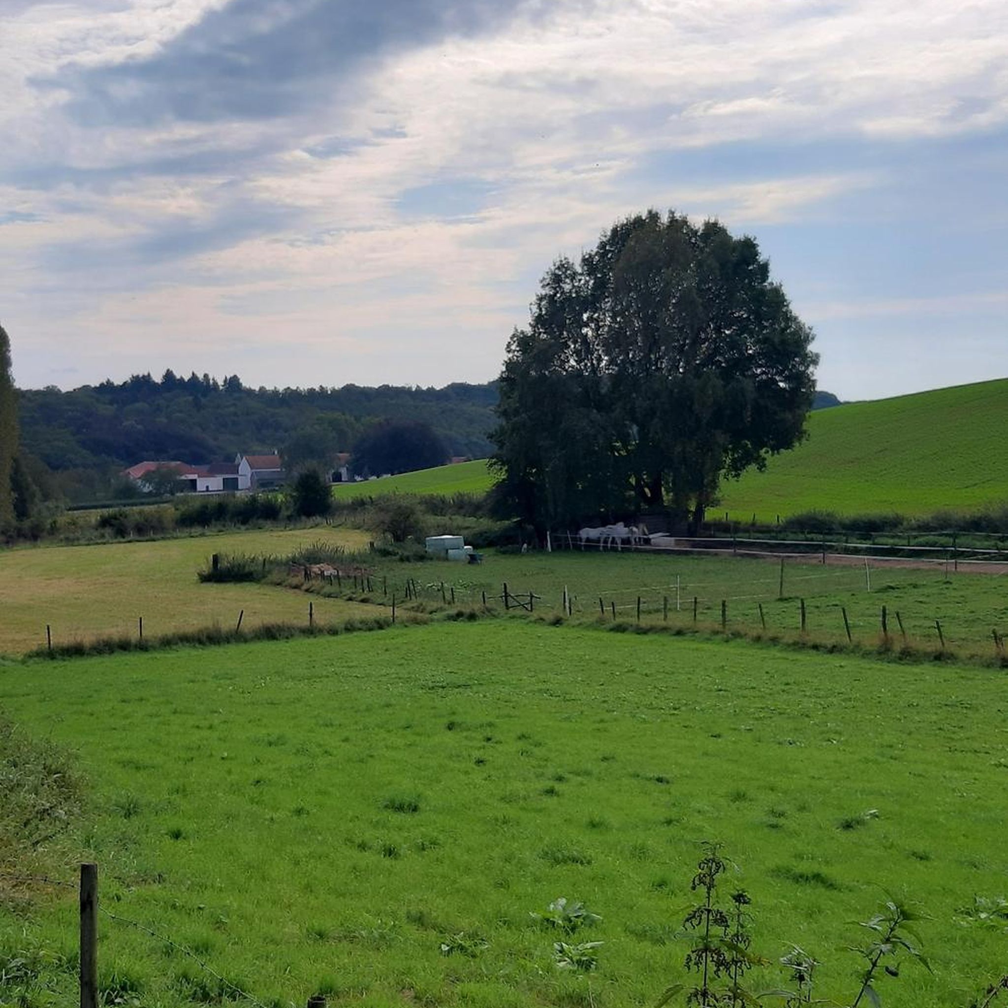
Jogging routes Zagersdorf traverse the scenic Burgenland region of Austria, characterized by rolling hills, extensive vineyards, and a distinct Pannonian flair. The area offers a variety of natural features and established trails suitable for running. These routes often include segments through natural landscapes and past historic buildings, providing diverse terrain for outdoor activities.
Best jogging routes around Zagersdorf
- The most popular jogging route is Saatbau Silos and Monument loop from Zagersdorf/Cogrštof, a 7.5 miles (12.1 km) trail that takes…
Last updated: July 2, 2026
15
runners
12.1km
01:15
50m
50m
Moderate run. Good fitness required. Mostly paved surfaces. Suitable for all skill levels.
12
runners
10.7km
01:07
100m
100m
Moderate run. Good fitness required. Mostly paved surfaces. Suitable for all skill levels.

Sign up for free
10
runners
5.67km
00:35
20m
20m
Moderate run. Good fitness required. Mostly paved surfaces. Suitable for all skill levels.
8
runners
5.05km
00:32
40m
40m
Moderate run. Good fitness required. Mostly paved surfaces. Suitable for all skill levels.
8
runners
6.07km
00:38
30m
30m
Moderate run. Good fitness required. Mostly paved surfaces. Suitable for all skill levels.
Get access to more routes and recommendations from other explorers.
Sign up for free
Already have an account?
Our route recommendations are based on thousands of hikes, rides, and runs completed by other people on komoot.
Start today with a free account
Your next adventure awaits.
Login or Signup
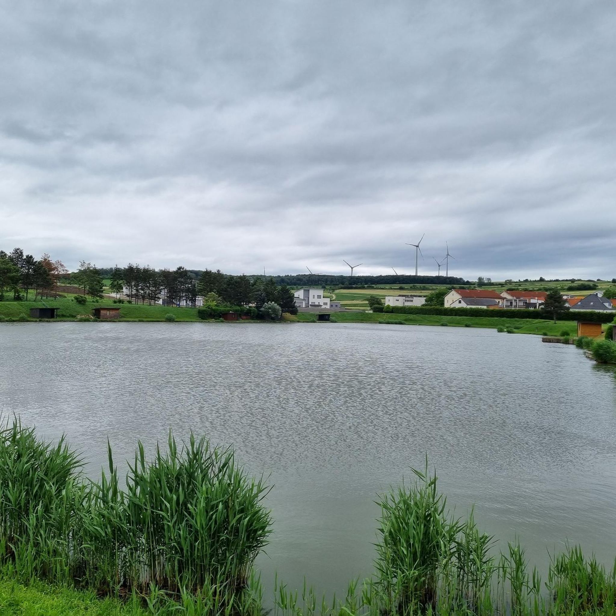
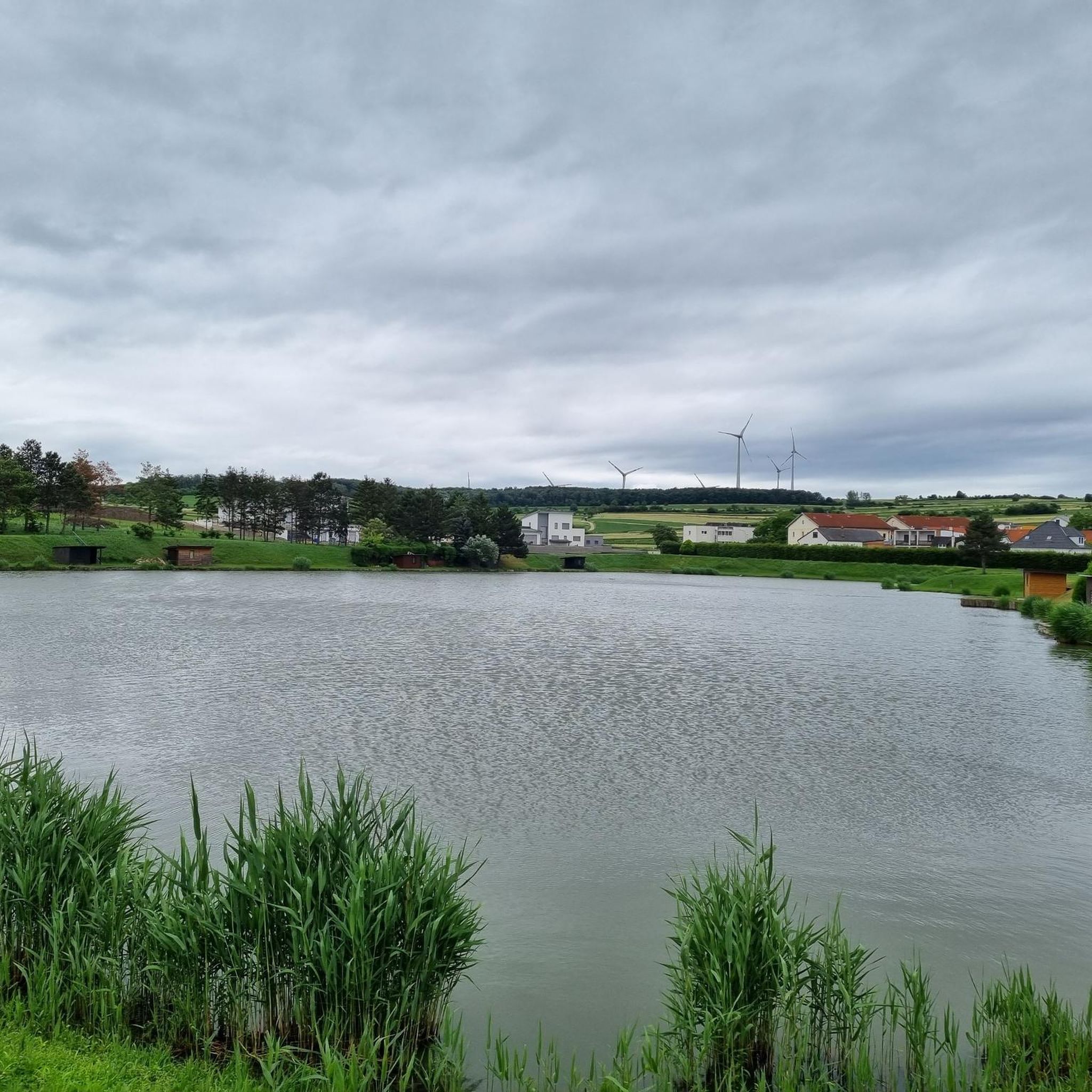
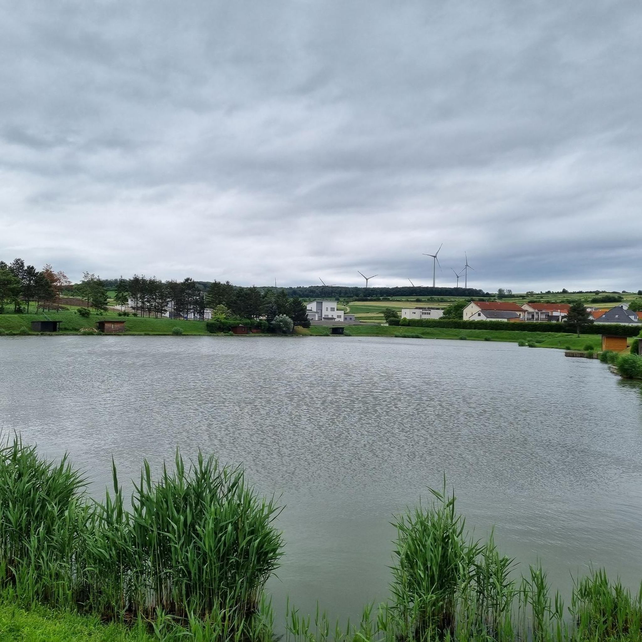
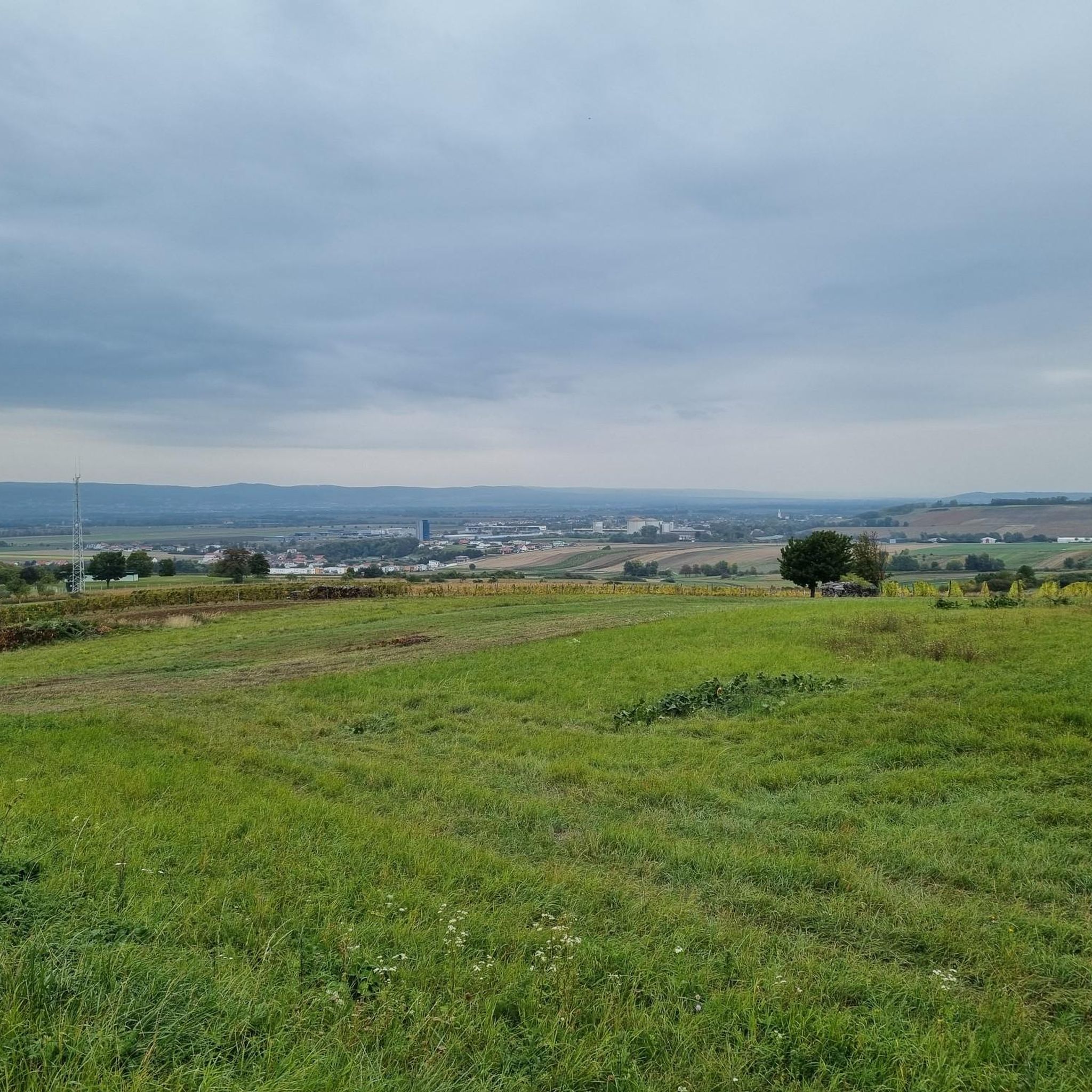
Tips from the Community

Stone chapel, probably built around 1900. Right next to it is a bench.
0
0

A place to sit. And there is a geocache there if you geocache.
0
0

Really beautiful area, generally not much going on, even at the weekend.
0
0

The view over the area is impressive.
1
0
A special chapel building that fits into the landscape.
1
0

... or also Jägerkapelle. The hunters from Wulkaprodersdorf built this chapel in 2000. The blessing took place with the participation of many believers in honor of St. Hubertus, the patron saint of hunters. With this small chapel, the hunters express their solidarity with God, the church and the environment and promise to always support God's creation.
0
0

With a bench and a beautiful view
0
0
Frequently Asked Questions
How many running routes are available around Zagersdorf?
There are over 270 running routes available around Zagersdorf, offering a wide variety of options for all skill levels. This includes 25 easy routes, 218 moderate routes, and 30 difficult routes.
What kind of terrain can I expect on the running routes near Zagersdorf?
The running routes around Zagersdorf are characterized by rolling hills, extensive vineyards, and a distinct Pannonian flair. You'll encounter a mix of dirt roads and paved sections, passing through natural landscapes and sometimes historic buildings. This diverse terrain caters to various preferences and fitness levels.
Are there options for easy or beginner runners in Zagersdorf?
Yes, Zagersdorf offers 25 easy running routes, perfect for beginners or those looking for a more relaxed jog. Many paths wind through vineyards and offer relatively flat sections, such as the local Weinwanderweg, which is a 3.5 km circular route through vineyards.
What do other runners say about the routes in Zagersdorf?
The running routes in Zagersdorf are highly rated by the komoot community, with an average score of 4.6 stars from over 40 reviews. More than 2,300 runners have used komoot to explore the varied terrain, often praising the scenic views and well-maintained paths.
Are there any circular running routes in Zagersdorf?
Yes, many routes around Zagersdorf are circular, allowing you to start and finish at the same point. A notable local example is the Weinwanderweg, a 3.5 km circular route through vineyards. For a longer loop, consider the Running loop from Draßburg/Rasporak, which is 5.1 km long.
Can I bring my dog on the running trails in Zagersdorf?
Generally, dogs are welcome on many outdoor trails in the Burgenland region, including those around Zagersdorf. However, it's always advisable to keep your dog on a leash, especially when passing through vineyards, agricultural areas, or near wildlife. Please be mindful of local regulations and other trail users.
Are there family-friendly running routes in Zagersdorf?
Yes, several routes are suitable for families. The local Weinwanderweg, for instance, passes by a playground, making it a pleasant option for families with children. Shorter, easier routes with minimal elevation gain are generally good choices for family outings.
What natural features or landmarks can I see while running near Zagersdorf?
While running near Zagersdorf, you can enjoy picturesque vineyards, rolling hills, and a Pannonian landscape. Specific landmarks include the Hubertuskapelle, which you can see along the Weinwanderweg. You might also encounter highlights like the National border AT - HU or the Gate of Freedom – Pan-European Picnic Memorial on some routes.
Are there any routes with scenic views?
Absolutely. Many routes offer scenic views, particularly those that ascend the rolling hills. The Weinwanderweg, for example, provides panoramic views of Zagersdorf and the Burgenland hill country from a vineyard hut. You can also find viewpoints like the Jubilee Tower Gloriette Hill or the View of Vineyards and Lake Neusiedl on routes further afield.
How can I access the running routes using public transport?
While Zagersdorf is a smaller community, local bus services connect it to larger towns like Eisenstadt, which has more extensive public transport links. It's recommended to check local bus schedules for connections to Zagersdorf. Many routes are accessible directly from the village center.
Where can I park my car when going for a run in Zagersdorf?
Zagersdorf typically offers public parking options within the village, especially near community facilities or trailheads. For routes like the Weinwanderweg, parking is often available near the starting points, such as by the fishpond. Always look for designated parking areas to ensure convenience and compliance with local regulations.
Are there any longer distance running options for experienced runners?
Yes, for experienced runners seeking longer distances, Zagersdorf's location provides access to segments of broader regional routes. The Burgenland Route 01A and parts of the Eastern Austrian Borderland Trail 07 offer varied terrain and extended mileage, connecting Lake Neusiedl with the Rosalia Mountains and beyond. These routes can provide hundreds of kilometers of running opportunities.
What is the best time of year to go running in Zagersdorf?
Burgenland, where Zagersdorf is located, is known for abundant sunshine, making it pleasant for outdoor activities for much of the year. Spring and autumn offer mild temperatures ideal for running, with vibrant natural colors. Summer can be warm, so early morning or late afternoon runs are recommended. Winter running is also possible, though trails might be muddy or icy depending on conditions.
Most popular attractions around Zagersdorf

Get inspired with the komoot mobile app


Explore more
Browse the best Running Trails & Routes in other regions.
