The best walks and hikes around Stowey-Sutton
4.5
(1652)
9,562
hikers
502
hikes
Hiking trails around Stowey-Sutton traverse a varied landscape within the Chew Valley, characterized by the expansive Chew Valley Lake and the northern foothills of the Mendip Hills. The area features diverse natural habitats, including traditionally maintained meadows and woodlands, alongside significant geological formations. Hikers can explore paths around the lake, through rural villages, and into the lower slopes of the Mendips. The terrain includes gentle lakeside paths and moderate ascents into the surrounding hills.
Best hiking trails around Stowey-Sutton
- The…
Last updated: August 20, 2026
4.6
(46)
267
hikers
7.04km
01:52
70m
70m
The Chew Valley Lake, Knowle Hill & Chew Magna loop offers a diverse and scenic hiking experience at the northern edge of the Mendip Hills. You will find a mix…
3.8
(9)
28
hikers
8.52km
02:19
110m
110m
Hike the moderate 5.3-mile (8.5 km) Butcombe Trail: Litton Reservoirs Loop through Mendip Hills, featuring tranquil reservoirs and varied sc

Sign up for free
3.0
(2)
12
hikers
4.33km
01:09
50m
50m
This easy 2.7-mile loop around Knowle Hill offers panoramic views of Chew Valley Lake and the Mendip Hills, perfect for beginners.
3.7
(20)
89
hikers
12.1km
03:08
60m
60m
Moderate hike. Good fitness required. Easily-accessible paths. Suitable for all skill levels.
4.7
(20)
64
hikers
Moderate hike. Good fitness required. Easily-accessible paths. Suitable for all skill levels.
Get access to more routes and recommendations from other explorers.
Sign up for free
Already have an account?
Our route recommendations are based on thousands of hikes, rides, and runs completed by other people on komoot.
Start today with a free account
Your next adventure awaits.
Login or Signup

Tips from the Community

The concrete outlet tower serves as the central control point for the reservoir's water supply. Connected by a bridge to the main dam, the tower houses sluice gates and valves that regulate the flow and distribution of water to the River Chew and the local water supply.
0
0

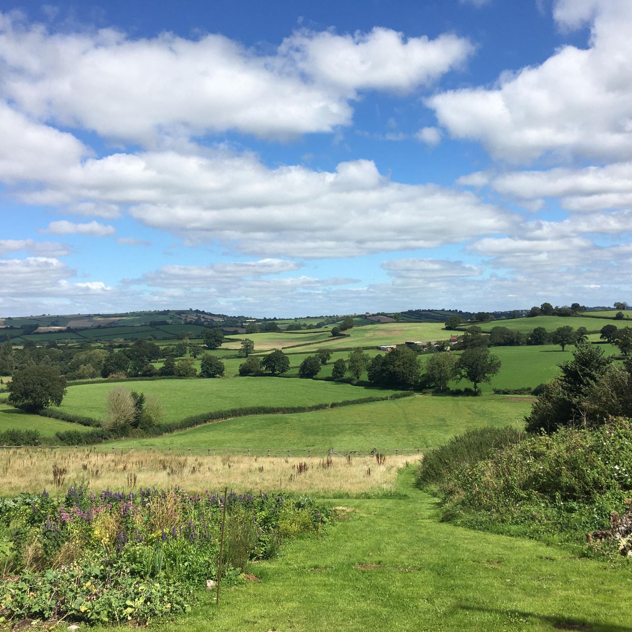
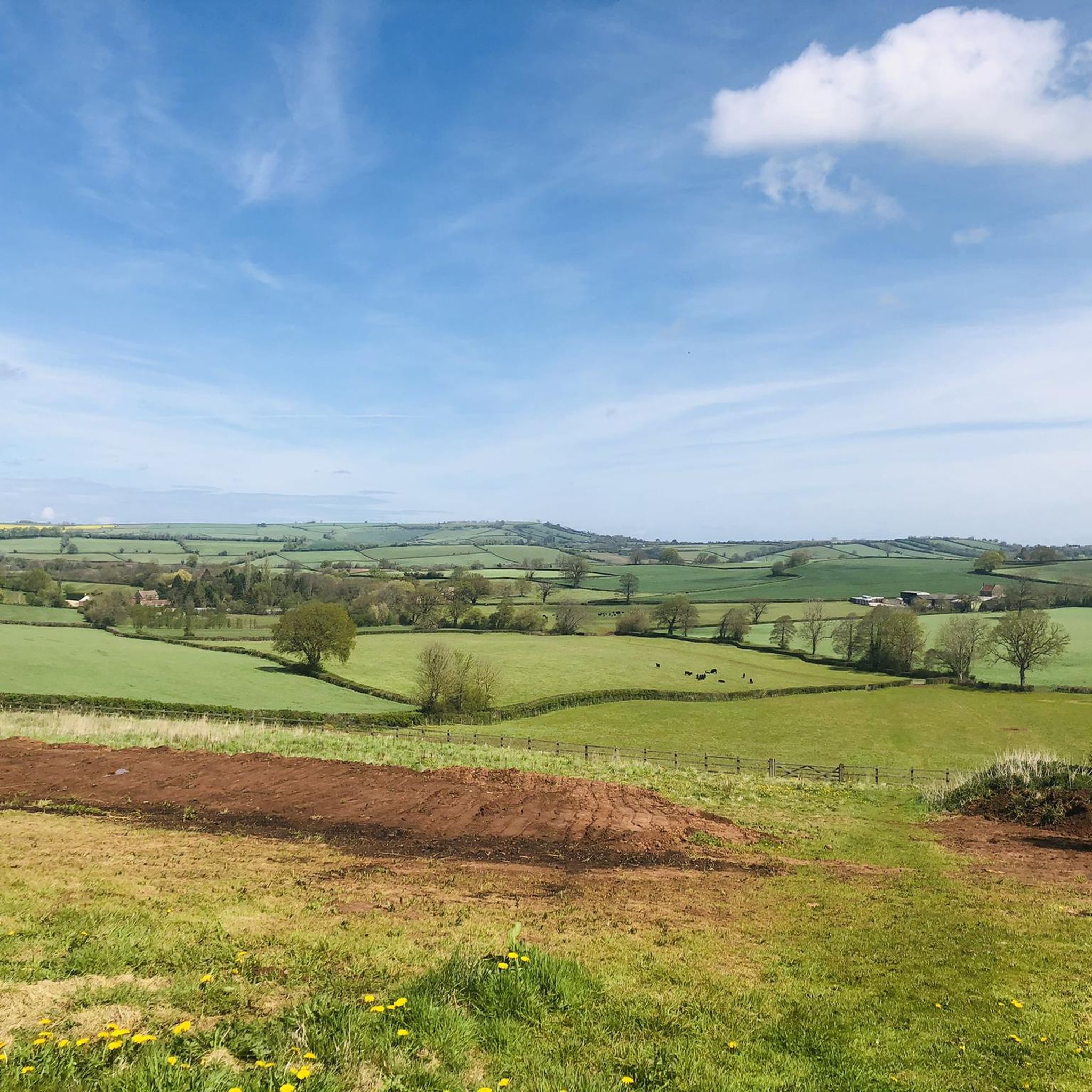
This hill, while lower than the surrounding ridges, provides great views from the top. Fern covered with several tracks crossing the slopes.
0
0


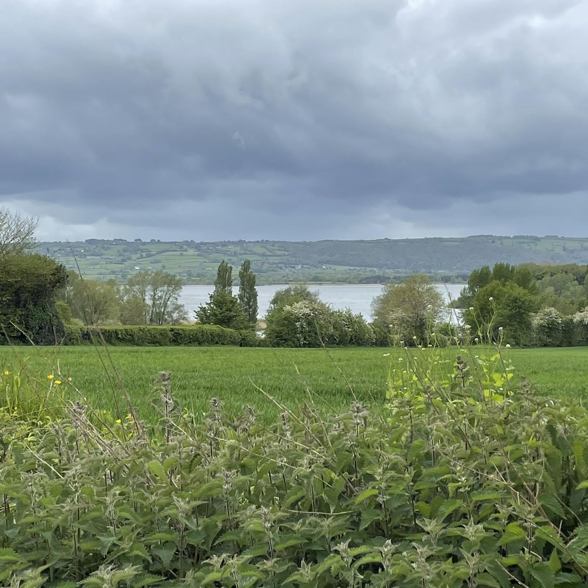
Beautiful Lake. It's very large(!) And is really easily accessible, there is parking right by the edge of the lake, if you can not walk there. It's a fantastic spot for bird watching, too! There is a board that displays the birds you may be likely to see and when you'll see them. Please do not feed bread to the ducks & birds! (I know it was normal, I used to do it as a small child in the late 80s & 90s, but we know it's bad for them now)
0
0

Chew Valley Lake is the 5th largest artificial lake in the UK. It was constructed in the 1950s to supply drinking water for Bristol and the nearby area. There are brilliant views of the lake and surrounding countryside as you pass along the dam.
1
0

Chew Valley Lake formed by the construction of this dam on the River Chew in the 1950's. Built to provide drinking water for Bristol.
0
0

The lower and upper Litton reservoirs were built in the 1850 s by the Bristol Waterworks Company. Today it's a peaceful place for a walk. Watch out for the wide variety of insects and birds who live here.
1
0
Chew Valley Lake was created in the early 1950 s to provide drinking water to Bristol and the surrounding area. It also controls the flow rate of the River Chew. The A368 crosses the southern edge of the lake. There is car parking along the causeway, and it's always a popular bird watching area.
1
0
Frequently Asked Questions
What types of hiking trails are available in Stowey-Sutton?
Stowey-Sutton offers a diverse range of hiking trails, from easy lakeside paths around Chew Valley Lake to moderate routes through rural villages and into the lower slopes of the Mendip Hills. The area features varied landscapes including traditionally maintained meadows, woodlands, and significant geological formations.
How many hiking routes are there in Stowey-Sutton?
There are over 10 hiking routes available in Stowey-Sutton, catering to various fitness levels. The komoot community has explored these trails over 8,700 times, providing an average rating of 4.5 stars.
What kind of terrain will I encounter on hikes around Stowey-Sutton?
You can expect varied terrain, including gentle, flat paths around Chew Valley Lake, as well as moderate ascents and descents when venturing into the surrounding hills and combe areas. Trails often pass through open landscapes, meadows, and woodlands.
Are there any family-friendly hiking options in Stowey-Sutton?
Yes, many trails around Chew Valley Lake are suitable for families due to their relatively flat and accessible nature. For example, the Chew Valley Lake Picnic Area loop from Bishop Sutton is an easy 3.0-mile route perfect for a family outing.
Can I bring my dog on the hiking trails in Stowey-Sutton?
Most public footpaths and trails in Stowey-Sutton are dog-friendly, but it's always recommended to keep dogs on a lead, especially around livestock, wildlife habitats, and near Chew Valley Lake. Please ensure you clean up after your pet.
What natural features or landmarks can I see while hiking in Stowey-Sutton?
Hikers can enjoy expansive views of Chew Valley Lake, explore the ecologically rich Folly Farm with its flowery meadows, and discover the northern foothills of the Mendip Hills. Notable landmarks include the striking Pensford Viaduct and the highest point of the Mendips, Beacon Batch, which offers panoramic vistas. You can also visit the Beacon Batch summit trig point or the Stanton Drew Stone Circles and Cove.
Are there any circular walks available in Stowey-Sutton?
Yes, many of the routes in Stowey-Sutton are circular, allowing you to start and end in the same location. Examples include the Chew Valley Lake loop from Bishop Sutton and the Harptree Combe – West Harptree Village loop from Bishop Sutton.
What is the typical elevation gain on trails in Stowey-Sutton?
Elevation gain varies significantly. Easy lakeside trails like the Chew Valley Lake Picnic Area loop have minimal elevation gain (around 19 meters). More moderate routes, such as the Harptree Combe – West Harptree Village loop, can involve around 71 meters of ascent, offering a bit more challenge.
Where can I find parking for hiking trails in Stowey-Sutton?
Many popular starting points, especially around Chew Valley Lake and in villages like Bishop Sutton, offer designated parking areas. It's advisable to check specific route details on komoot for parking information related to your chosen trail.
What do other hikers enjoy most about hiking in Stowey-Sutton?
The area is highly rated by the komoot community, with an average score of 4.5 stars from over 1300 reviews. Reviewers often praise the stunning views of Chew Valley Lake, the peaceful rural landscapes, and the variety of trails suitable for different abilities.
Are there any pubs or cafes near the hiking trails in Stowey-Sutton?
Yes, the villages surrounding Chew Valley Lake, such as Bishop Sutton and Chew Magna, offer local pubs and cafes where you can refresh yourself after a hike. These establishments often provide a welcoming atmosphere for walkers.
What is the best time of year to hike in Stowey-Sutton?
Stowey-Sutton is enjoyable for hiking year-round. Spring and summer offer lush greenery and warmer weather, ideal for lakeside strolls. Autumn brings beautiful foliage, while winter can provide crisp, clear views, though some paths may be muddy. Always check local weather conditions before heading out.
Most popular routes around Stowey-Sutton
Most popular attractions around Stowey-Sutton

Get inspired with the komoot mobile app


Explore more
Browse the best Hikes in other regions.
