The best walks and hikes around Leigh-On-Mendip
4.4
(390)
2,506
hikers
282
hikes
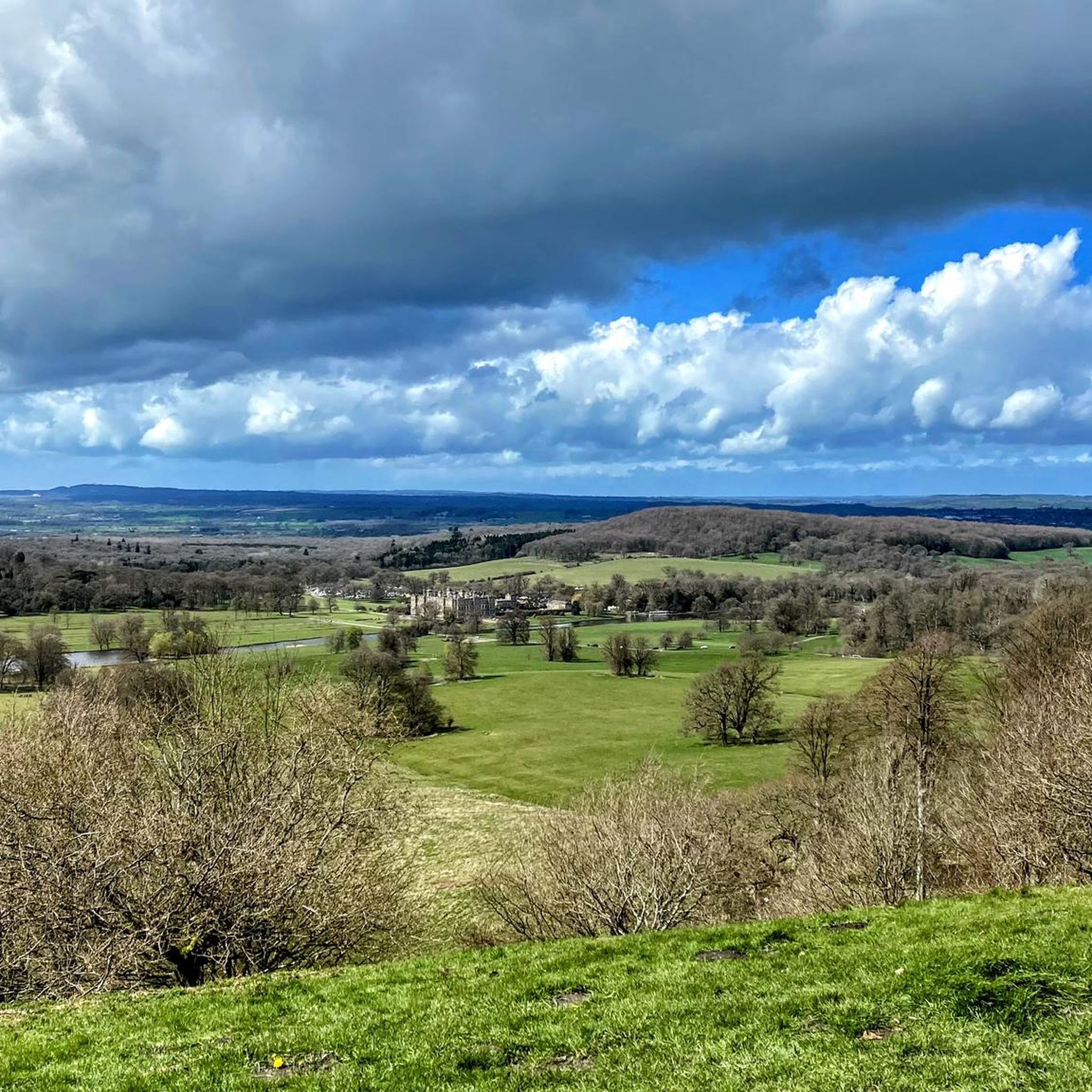
Hiking around Leigh-On-Mendip offers access to the diverse landscapes of the Mendip Hills National Landscape. The region is characterized by distinctive limestone formations, gorges, and expansive heathlands. Hikers can experience varied terrains, from undulating hills and valleys to more challenging ascents. A well-maintained network of public footpaths provides numerous options for exploration.
Best hiking trails around Leigh-On-Mendip
- The most popular hiking route is Babington Chapel – Jack and Jill Hill loop from Leigh-on-Mendip, a 5.7 miles (9.2 km) trail…
Last updated: July 1, 2026
4.7
(3)
13
hikers
9.17km
02:27
110m
110m
Moderate hike. Good fitness required. Easily-accessible paths. Suitable for all skill levels.
7
hikers
17.8km
04:47
210m
210m
Moderate hike. Good fitness required. Easily-accessible paths. Suitable for all skill levels.

Sign up for free
5.0
(3)
5
hikers
Easy hike. Great for any fitness level. Easily-accessible paths. Suitable for all skill levels.
3
hikers
Moderate hike. Good fitness required. Easily-accessible paths. Suitable for all skill levels.
7
hikers
3.10km
00:49
20m
20m
Easy hike. Great for any fitness level. Easily-accessible paths. Suitable for all skill levels.
Get access to more routes and recommendations from other explorers.
Sign up for free
Already have an account?
Our route recommendations are based on thousands of hikes, rides, and runs completed by other people on komoot.
Start today with a free account
Your next adventure awaits.
Login or Signup


Tips from the Community

When exploring the Mells River area, it's advisable to wear sturdy, waterproof hiking boots with good ankle support and deep tread to navigate the varied terrain comfortably [1]. Additionally, carrying a small first aid kit can be beneficial for addressing minor injuries like blisters or scrapes during your walk. [1] https://www.cotswoldoutdoor.com/best-uk-rainy-day-walks.html [2] https://www.responsibletravel.com/holidays/england-walking/travel-guide/england-walking-holidays-travel-advice
1
0


In the valley below Great Elm, a charming bridge crosses the Mells River, with a bench on the riverbank offering a peaceful spot to enjoy the views or take a refreshing dip. A layby on one side of the river provides convenient parking if you'd like to start your journey here.
1
0

Beautiful stained-glass and associations with many famous people, including the grave of Siegfried Sassoon
1
0

Bit midi right at the bottom, but can be done without walking boots in good weather.
0
0

Nice and convenient shop on route
0
0

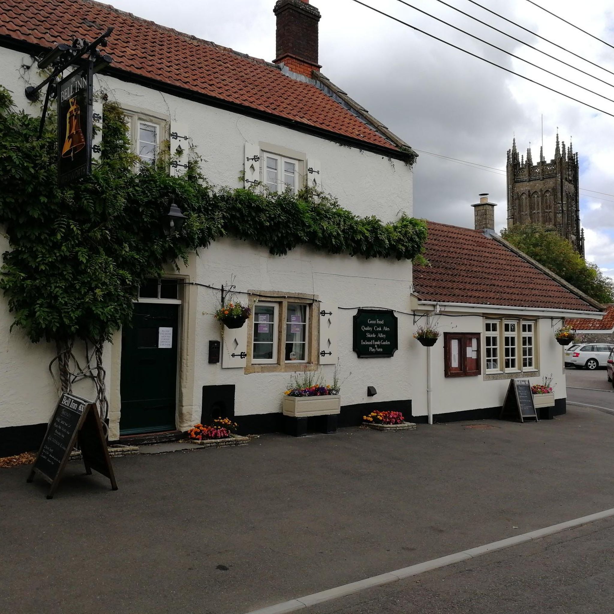
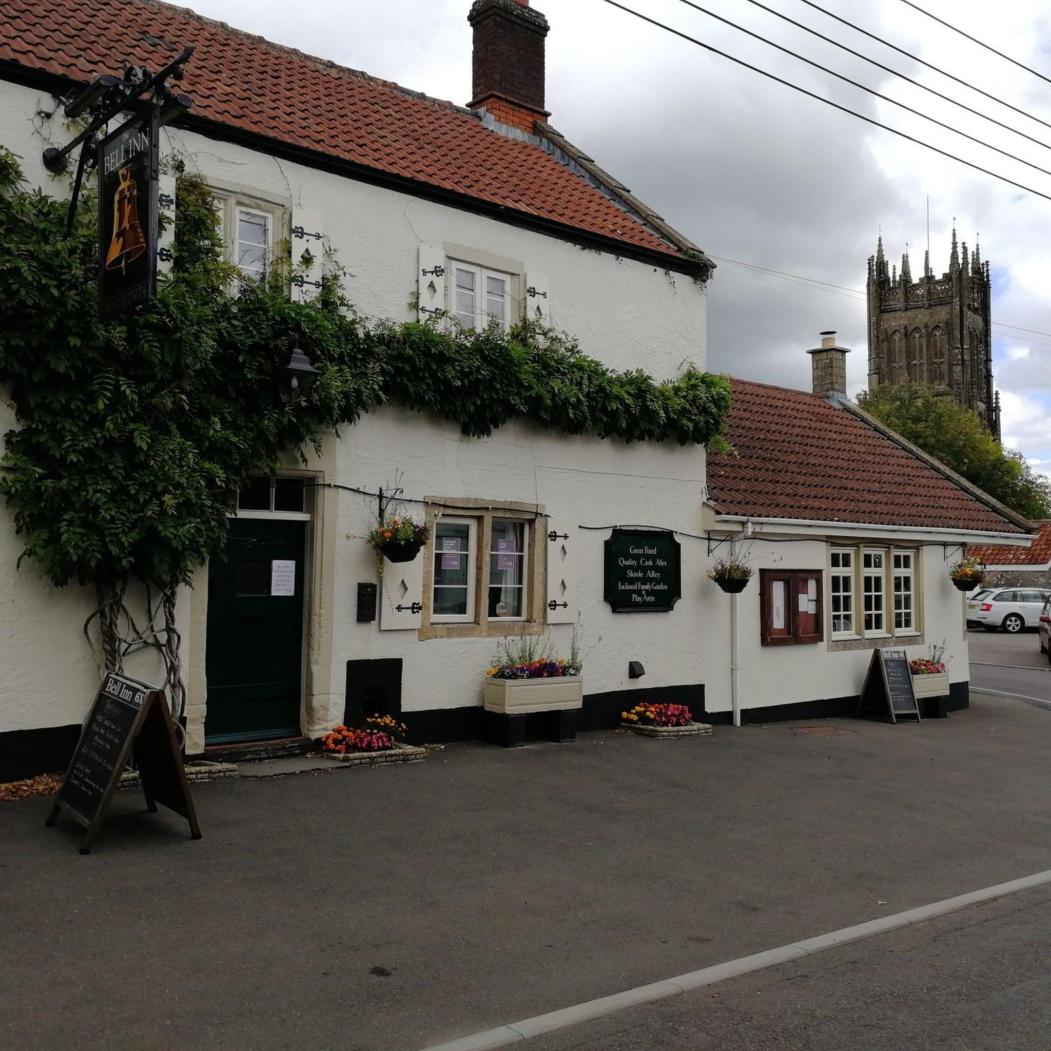
Great new cafe in a renovated pub with outdoor seating and space to put bikes (no racks but easy to lean against garden walls). Good food and tasty looking cakes too.
1
0
Frequently Asked Questions
How many hiking trails are available around Leigh-On-Mendip?
Leigh-On-Mendip offers a wide selection of hiking opportunities, with nearly 300 routes recorded on komoot. These trails explore the diverse landscapes of the Mendip Hills National Landscape, from easy strolls to more challenging ascents.
What types of terrain can I expect on hikes near Leigh-On-Mendip?
The area around Leigh-On-Mendip is characterized by the distinctive geology of the Mendip Hills. You'll find dramatic limestone formations, gorges, and expansive heathlands. Trails vary from undulating hills and valleys to rocky outcrops and woodlands, offering a rich variety of natural features.
Are there any easy, family-friendly walks in the area?
Yes, there are many easy walks suitable for families. For example, the Whitehole Tufa Waterfall loop from Leigh-on-Mendip is an accessible and easy hike. Another option is the View of the Countryside loop from Mells, which is also rated as easy.
Can I find circular hiking routes around Leigh-On-Mendip?
Absolutely. Many of the trails in the area are circular, allowing you to start and end in the same location. Popular circular routes include the Babington Chapel – Jack and Jill Hill loop from Leigh-on-Mendip and the Mells River Path – Mells River loop from Leigh-on-Mendip.
Are there any trails that feature waterfalls?
Yes, you can hike to the natural attraction of the Whitehole Tufa Waterfall. An easy loop, the Whitehole Tufa Waterfall loop from Leigh-on-Mendip, leads directly to it.
What are some notable landmarks or attractions I can see while hiking?
The region offers several interesting sights. You might encounter historical sites like Nunney Castle or the Orchardleigh Estate Gatehouse. Natural features include the dramatic Cheddar Gorge and Ebbor Gorge, a National Nature Reserve. The Colliers Way also offers scenic paths.
What do other hikers say about the trails in Leigh-On-Mendip?
The hiking trails around Leigh-On-Mendip are highly regarded by the komoot community, holding an average rating of 4.4 stars from over 350 reviews. Hikers often praise the well-maintained public footpaths and the diverse, scenic landscapes.
Are there any long-distance hiking routes accessible from Leigh-On-Mendip?
Yes, the broader Mendip Hills provide access to significant long-distance trails. These include the 50-mile Mendip Way, which traverses the National Landscape, and the 25-mile Limestone Link, connecting the Mendip Hills with the Cotswolds.
Are there any specific trails that go through woodlands or forests?
Certainly. The Cranmore Downhill Path – Cranmore Wood Forest Path loop from Stoke St Michael takes you through Cranmore Wood, offering a pleasant forest hiking experience. You can also explore the Muddy Trail in Littleton Wood.
Is parking available near the trailheads in Leigh-On-Mendip?
While specific parking details for every trailhead are not provided, the local parish of Leigh-On-Mendip is known for its well-maintained public footpaths, suggesting accessibility for hikers. It's generally advisable to check local signage or community information for designated parking areas when planning your hike.
What is the highest point in the Mendip Hills that I can hike to?
The highest point in the Mendip Hills is Black Down. It features striking heathland environments and offers opportunities to observe wildlife, including Exmoor ponies and various bird species.
Are there any trails along a river?
Yes, the Mells River Path – Mells River loop from Leigh-on-Mendip follows the Mells River, providing a scenic riverside experience.
Most popular routes around Leigh-On-Mendip
Most popular attractions around Leigh-On-Mendip

Get inspired with the komoot mobile app


Explore more
Browse the best Hikes in other regions.
