The best running trails around Huish Episcopi
4.3
(19)
1,252
runners
35
runs
Jogging routes around Huish Episcopi traverse the rural beauty of the Somerset Levels, a landscape characterized by rivers, moors, and gentle hills. The area features varied terrain, from waterside paths along the River Parrett to routes with some elevation gain. This environment provides diverse backdrops for running, catering to different preferences for natural scenery.
Best jogging routes around Huish Episcopi
- The most popular jogging route is River Parrett – Langport Railway Viaduct loop from Langport, a 6.3 miles (10.1…
Last updated: September 30, 2026
4.0
(1)
35
runners
6.22km
00:39
20m
20m
Moderate run. Good fitness required. Mostly paved surfaces. Suitable for all skill levels.
3.0
(1)
26
runners
6.53km
00:41
20m
20m
Moderate run. Good fitness required. Mostly paved surfaces. Suitable for all skill levels.

19
runners
13.1km
01:23
70m
70m
Moderate run. Good fitness required. Mostly paved surfaces. Suitable for all skill levels.
12
runners
9.78km
01:04
20m
20m
Moderate run. Good fitness required. Mostly paved surfaces. Suitable for all skill levels.
22
runners
10.8km
01:07
30m
30m
Moderate run. Good fitness required. Mostly paved surfaces. Suitable for all skill levels.
Get access to more routes and recommendations from other explorers.
Already have an account?
Our route recommendations are based on thousands of hikes, rides, and runs completed by other people on komoot.
Start today with a free account
Your next adventure awaits.

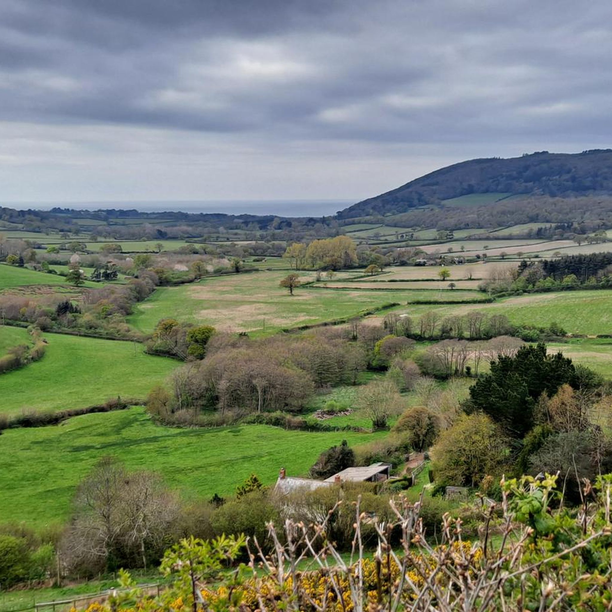
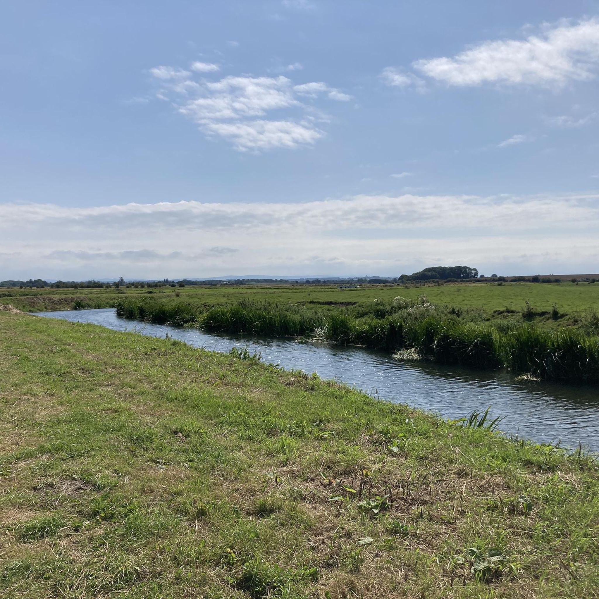
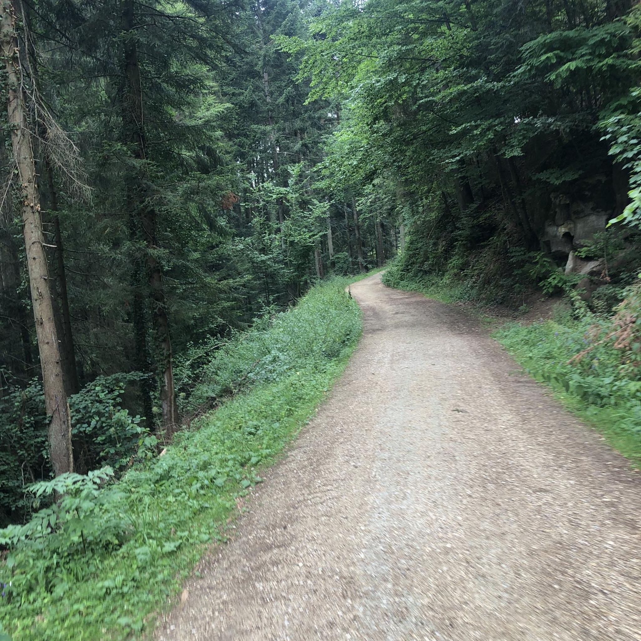
Tips from the Community

Great breakfast and coffee.
0
0

Will be doing breakfasts from 1st July as well as coffees lunches etc
0
0

Muchelney Abbey is a fabulous stop over!
0
0


Be patient at busy times.
0
0

can get busy but plenty of seats inside and out lovely walk or ride along the river
0
0
Frequently Asked Questions
How many jogging routes are available around Huish Episcopi?
There are over 35 dedicated jogging routes around Huish Episcopi, offering a variety of options for different fitness levels and preferences.
What kind of terrain can I expect on running trails in Huish Episcopi?
The running trails in Huish Episcopi traverse the rural beauty of the Somerset Levels. You can expect a mix of waterside paths along the River Parrett, flat expanses, and gentle hills, providing varied terrain and scenic backdrops. Many routes feature paved surfaces, but the rural setting also offers opportunities for trail running.
Are there running routes suitable for beginners in Huish Episcopi?
Yes, there are several easy running routes perfect for beginners. For example, the Church of All Saints, Langport – The Hanging Chapel loop from Langport is a shorter, easier trail that leads through local landmarks.
What do other runners say about the trails in Huish Episcopi?
The running routes in Huish Episcopi are highly rated by the komoot community, with an average score of 4.4 stars from more than 10 reviews. Over 1,200 runners have used komoot to explore the varied terrain, often praising the scenic views and diverse options.
Can I see any historical landmarks or points of interest while jogging near Huish Episcopi?
Yes, several routes offer views of local landmarks. For instance, the Church of All Saints, Langport – The Hanging Chapel loop from Langport passes by notable sites. You might also encounter highlights like Burrow Mump or the Ham Hill War Memorial and Stone Circle in the wider area.
Are there any scenic running routes along the water in Huish Episcopi?
Absolutely. The River Parrett is a significant natural feature in the area. The River Parrett – Langport Railway Viaduct loop from Langport is a popular choice, offering beautiful waterside paths and views of the railway viaduct.
Are there family-friendly jogging routes in Huish Episcopi?
Many of the easier routes are suitable for families. The general rural setting with varied terrain and landmarks makes for an engaging experience. Consider shorter, less challenging loops for family outings.
Are the running trails around Huish Episcopi dog-friendly?
Given the rural nature of the Somerset Levels, many trails are generally dog-friendly. However, it's always recommended to keep dogs on a lead, especially near livestock or in nature reserves, and to check specific route details for any restrictions.
Are there circular running routes available?
Yes, most of the jogging routes listed on komoot around Huish Episcopi are designed as circular loops, allowing you to start and finish at the same point without retracing your steps. An example is the Little Bakery loop from Langport.
Is parking available near the jogging routes in Huish Episcopi?
While specific parking details vary by starting point, the routes often begin from Langport, where public parking is generally available. The Langport & Huish Episcopi Memorial Field also provides green space, suggesting broader outdoor activity provisions and potential parking.
Can I reach the jogging trails in Huish Episcopi by public transport?
Many routes start from Langport, which serves as a central point for the area. It's advisable to check local bus schedules for connections to Langport from surrounding towns to access the trailheads.
When is the best time of year to go running in Huish Episcopi?
The Somerset Levels offer beautiful scenery year-round. Spring and autumn provide pleasant temperatures and vibrant landscapes. Summer is also great, but be prepared for warmer weather. Winter runs can be picturesque, but some paths might be muddy due to the nature of the Levels, so appropriate footwear is recommended.
Most popular routes around Huish Episcopi
Most popular attractions around Huish Episcopi

Get inspired with the komoot mobile app


Explore more
Browse the best Running Trails & Routes in other regions.
