The best walks and hikes around Hambridge & Westport
4.2
(205)
1,220
hikers
157
hikes
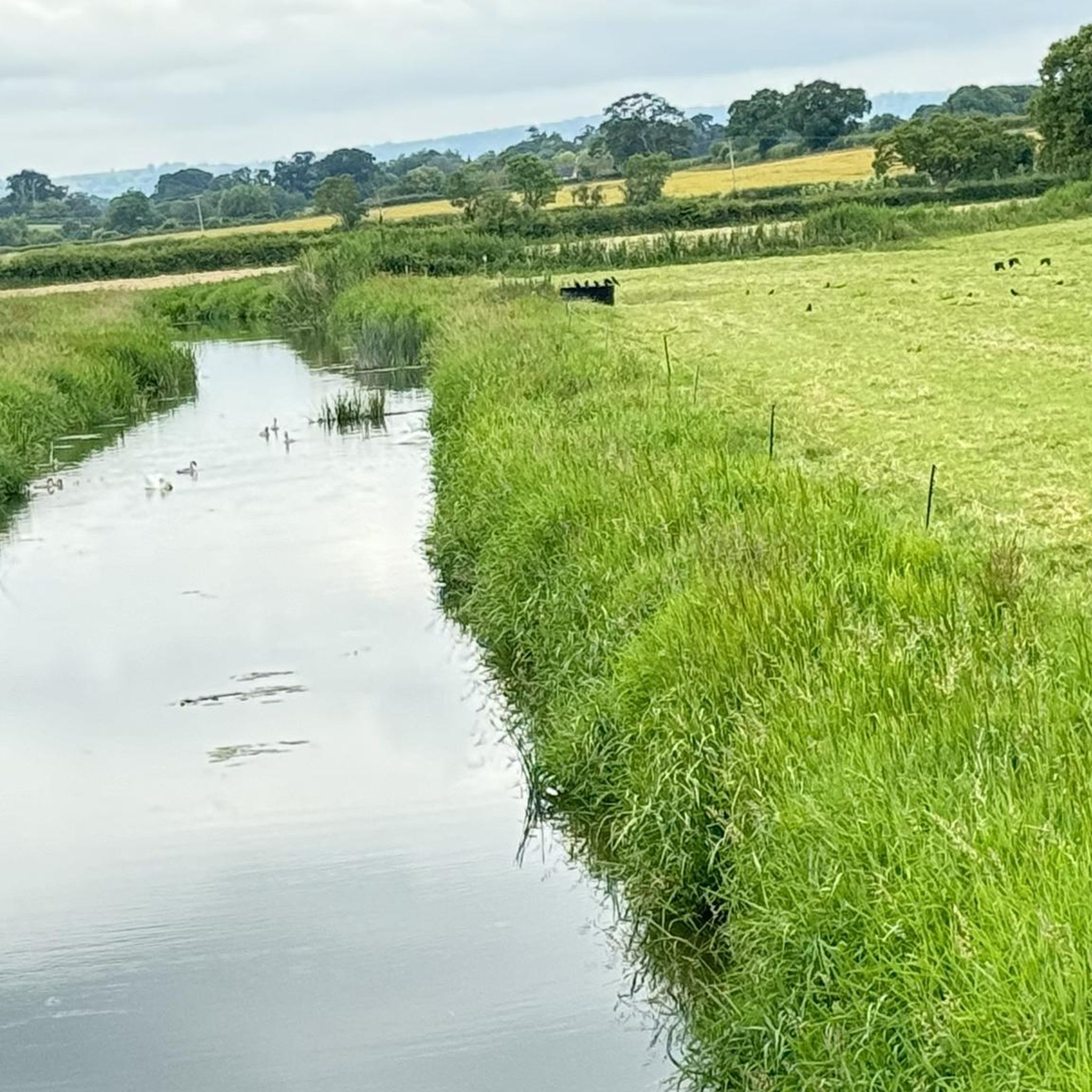
Hikes around Hambridge & Westport explore the low-lying landscape of the Somerset Levels. The region is characterized by gentle hills, river paths along the River Parrett, and routes connecting historic villages. Most walking routes in Hambridge and Somerset are on relatively flat terrain, making them accessible for various fitness levels.
Best hiking trails around Hambridge & Westport
- The most popular hiking route is Kitchen at the Wharf – The Pump That Saved Langport loop from Muchelney, a 9.3 mile…
Last updated: September 30, 2026
4.6
(10)
23
hikers
Moderate hike. Good fitness required. Easily-accessible paths. Suitable for all skill levels.
5.0
(1)
26
hikers
5.81km
01:28
10m
10m
Easy hike. Great for any fitness level. Easily-accessible paths. Suitable for all skill levels.

4.8
(5)
8
hikers
5.95km
01:34
60m
60m
Easy hike. Great for any fitness level. Easily-accessible paths. Suitable for all skill levels.
5.0
(1)
9
hikers
2.99km
00:51
60m
60m
Easy hike. Great for any fitness level. Easily-accessible paths. Suitable for all skill levels.
7
hikers
6.55km
01:39
10m
10m
Easy hike. Great for any fitness level. Easily-accessible paths. Suitable for all skill levels.
Get access to more routes and recommendations from other explorers.
Already have an account?
Our route recommendations are based on thousands of hikes, rides, and runs completed by other people on komoot.
Start today with a free account
Your next adventure awaits.

Tips from the Community

Great breakfast and coffee.
0
0

Southmoor Pumping Station is a historic pumping station located in Somerset, England, primarily designed for land drainage. It is part of the complex network of pumping stations and drainage systems that manage water levels in the Somerset Levels, an area prone to flooding due to its low-lying position.
0
0


Be patient at busy times.
0
0

can get busy but plenty of seats inside and out lovely walk or ride along the river
0
0

Beautiful Mill with the river flowing down towards Thorney. As you look towards Thorney bridge, you can see the large turning area where the boats carrying their goods would turnabout
0
0

Closed due to pumping, bridge fenced off
2
0

Pontoons and stretch of river bank for picnics near the town
2
0
Frequently Asked Questions
Are the hiking trails around Hambridge & Westport suitable for dogs?
Yes, many of the trails in the Somerset Levels are dog-friendly. The open fields and public footpaths provide great spaces for walking with a dog. However, you will likely cross agricultural land, so be prepared to keep your dog on a lead, especially around livestock. Always check for local signage regarding dog policies.
Are there any family-friendly walks in the area?
Absolutely. The region is well-suited for family outings due to its generally flat terrain. A great option is the Kitchen at the Wharf loop from Muchelney. It's an easy walk that is manageable for most ages and offers a pleasant experience of the local landscape.
What is the terrain like on the walks around Hambridge & Westport?
The landscape is dominated by the Somerset Levels, which means most routes are on relatively flat ground. You can expect to walk along riverside paths, across open fields, and through quiet country lanes connecting villages. While most trails are easy, some may include gentle climbs to viewpoints, but significant elevation gain is rare.
Are there any challenging hikes for experienced walkers?
While the area is known for its gentle walks, there are a few moderate options for those seeking a longer day out. The Kitchen at the Wharf – The Pump That Saved Langport loop from Muchelney is a good example, covering around 9.3 miles (15 km) and taking nearly four hours to complete, offering a more substantial challenge.
Can I find any walks with waterfalls?
The local geography of the Somerset Levels, being low-lying and gentle, means that significant waterfalls are not a feature of the hiking trails directly around Hambridge and Westport. The walks here are characterized more by serene river paths and wide-open pastoral scenery.
Are there any hikes that pass by historical sites?
Yes, the region is rich in history. For a walk that combines scenery with a significant local landmark, consider the Burton Pynsent Monument loop from Curry Rivel. This trail leads you to the prominent monument, offering both a point of historical interest and rewarding views.
Are most of the walks circular routes?
Yes, many of the recommended hikes in the area are designed as loops, allowing you to start and finish in the same location without retracing your steps. This makes logistics easier for parking and planning your day. Routes like the Homemade Jam & Chutney Stand – Thorney Bridge loop from Muchelney are popular circular options.
What do other hikers say about the trails in Hambridge & Westport?
The trails are highly regarded by the komoot community, with an average rating of over 4 stars. Hikers often praise the peaceful atmosphere, the well-maintained public footpaths, and the classic English countryside scenery. The easy accessibility of most routes is also a frequently mentioned positive.
How many hiking trails are there in the Hambridge & Westport area?
There are over 150 hiking routes to explore around Hambridge & Westport. The vast majority of these are rated as easy, with a good number of moderate trails and a few difficult ones, ensuring there's a walk for every ability level.
Is parking available at the start of the trails?
Many trails start in or near villages like Muchelney, Curry Rivel, or Fivehead, where you can typically find on-street parking or small village car parks. For trails starting at specific attractions like Ham Hill Country Park or National Trust properties, dedicated parking is usually available, though it may be paid.
Can I reach the trailheads using public transport?
Reaching trailheads in this rural part of Somerset can be challenging with public transport. Bus services connect some of the larger villages, but they may be infrequent. For the most flexibility and to access a wider variety of routes, travelling by car is generally recommended.
What should I pack for a day hike in this area?
Even for an easy walk, it's wise to wear sturdy, waterproof footwear as paths, especially near the River Parrett, can be muddy after rain. Pack water, snacks, and a fully charged phone. A map or the komoot app is essential, as some rural footpaths may be less clearly marked. Also, bring waterproof outerwear, as the weather can change quickly.
Most popular attractions around Hambridge & Westport

Get inspired with the komoot mobile app


Explore more
Browse the best Hikes in other regions.
