The best walks and hikes around Haselbury Plucknett
4.4
(408)
2,148
hikers
266
hikes
Hiking around Haselbury Plucknett offers diverse landscapes ranging from gentle river valleys to varied hilly terrains near the Somerset and Dorset border. The region is characterized by picturesque villages built from local Hamstone and features well-connected trail networks. Hikers can explore areas along the River Parrett and discover the broader Somerset countryside with its varied natural beauty.
Best hiking trails around Haselbury Plucknett
- The most popular hiking route is River Parrett loop from North Perrott, a 6.6 miles (10.7…
Last updated: June 26, 2026
4.4
(7)
10
hikers
10.9km
02:50
80m
80m
Moderate hike. Good fitness required. Easily-accessible paths. Suitable for all skill levels.
4.5
(2)
3
hikers
8.01km
02:09
90m
90m
Moderate hike. Good fitness required. Easily-accessible paths. Suitable for all skill levels.

Sign up for free
4.0
(1)
4
hikers
19.5km
05:18
280m
280m
Hard hike. Very good fitness required. Easily-accessible paths. Suitable for all skill levels.
3
hikers
5.48km
01:26
40m
40m
Easy hike. Great for any fitness level. Easily-accessible paths. Suitable for all skill levels.
4.60km
01:12
30m
30m
Easy hike. Great for any fitness level. Easily-accessible paths. Suitable for all skill levels.
Get access to more routes and recommendations from other explorers.
Sign up for free
Already have an account?
Our route recommendations are based on thousands of hikes, rides, and runs completed by other people on komoot.
Start today with a free account
Your next adventure awaits.
Login or Signup

Tips from the Community


Winyard's Gap Inn... incredible views and great beer after a tough climb. Descend with care!
1
0

Aside from residing in such a wonderfully-named village, St Michaels and All Angels Church has a fascinating history. Long before its Victorian renovation, a holy man named Wulfric lived as a hermit here for 29 years. Wulfric’s advice was sought by many who came specifically to see him, including members of royalty. He is said to have cut chainmail with ordinary scissors and the story of this miracle is the basis for the logo of the five, interconnected parishes.
1
0
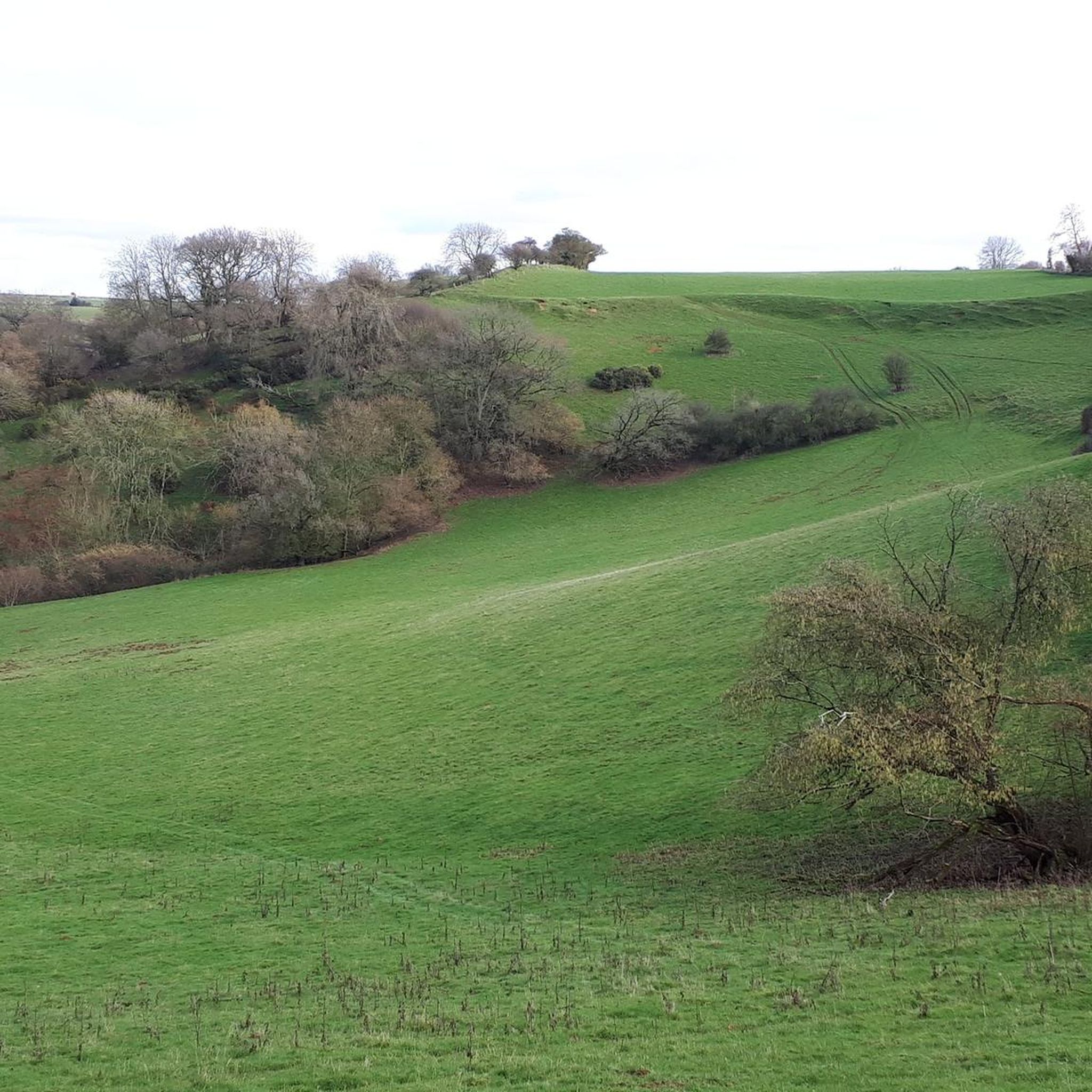
Somerset and Dorset are riddled with strip lynchets and some examples are particularly eye-catching. Best viewed from a distance, strip lynchets were a type of earthwork commonly used in ancient field systems, mainly in southern Britain. Like terraces in other countries, it’s thought that strip lynchets were made to increase the agricultural land available in hilly areas. There’s also a theory that they came about as a result of repeated ploughing. These ones can be seen from the south, on the southern side of Brympton Hill.
1
0
Frequently Asked Questions
How many hiking trails are available around Haselbury Plucknett?
There are over 280 hiking routes in the Haselbury Plucknett area, catering to various preferences. This includes more than 160 easy trails, 113 moderate routes, and 8 more challenging hikes for experienced walkers.
What kind of terrain can I expect on hikes near Haselbury Plucknett?
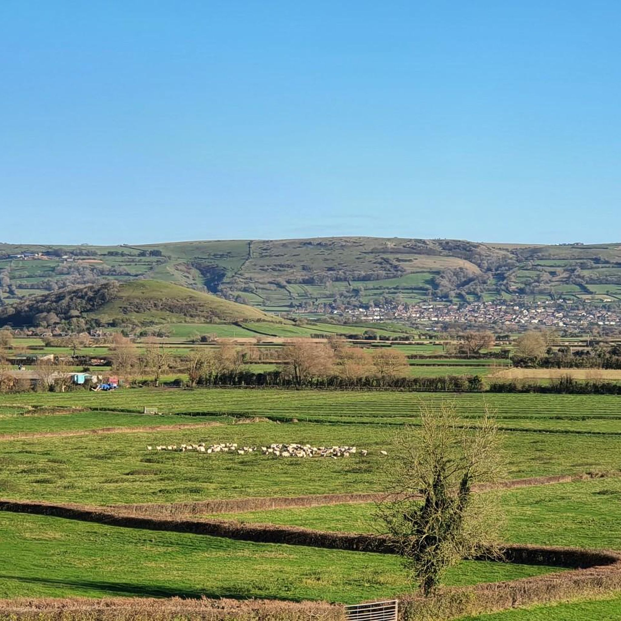
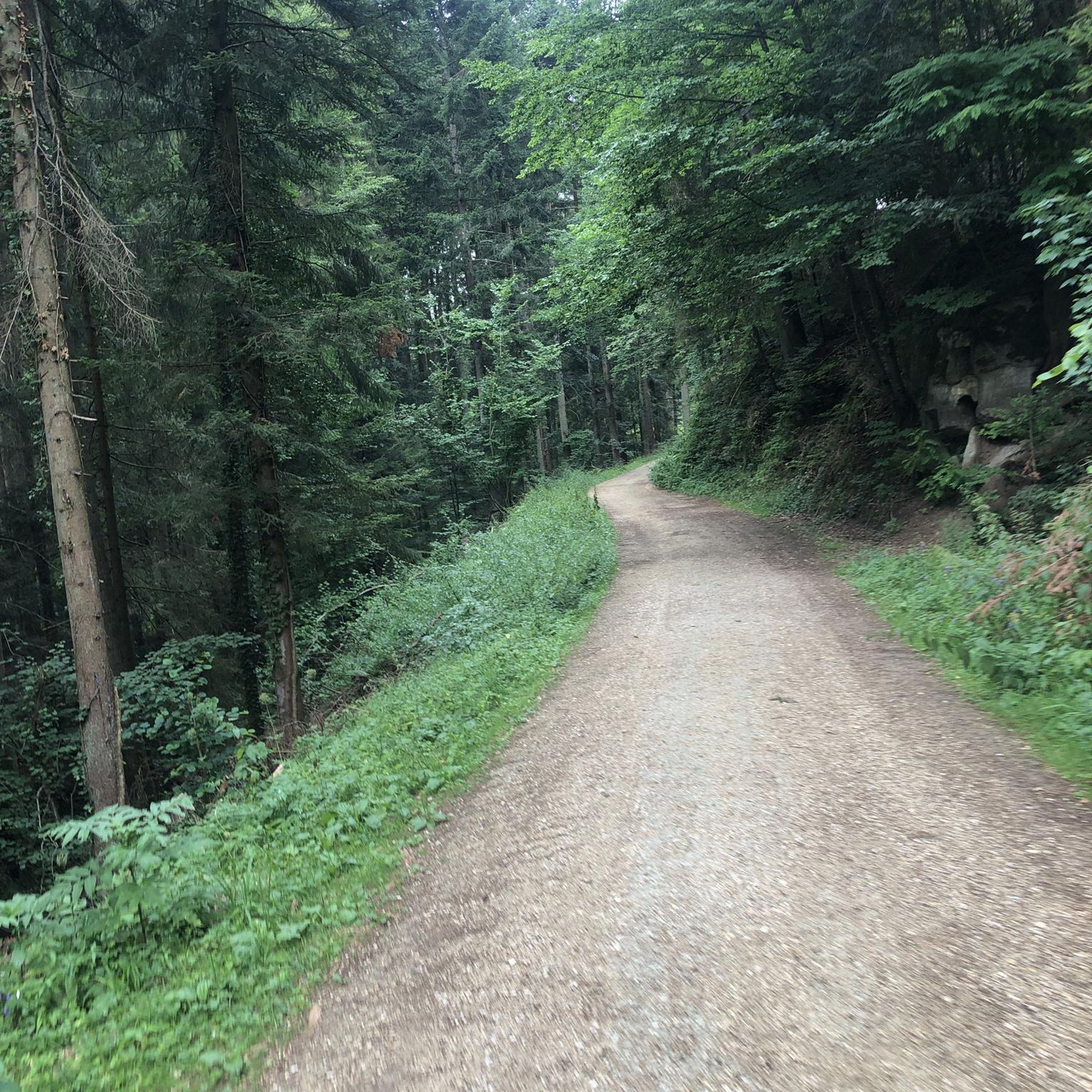
The region offers diverse landscapes, from gentle river valleys along the River Parrett to varied hilly terrains near the Somerset and Dorset border. You'll find picturesque countryside, ancient woodlands, and open fields, with some routes featuring more significant elevation changes, particularly towards areas like Ham Hill Country Park.
Are there any circular walks in the Haselbury Plucknett area?
Yes, many routes are circular, allowing you to start and end in the same location. For example, the easy River Parrett loop from Wadham School is a great option, or the moderate Hiking loop from Haselbury Plucknett which explores the local countryside.
What interesting landmarks or natural features can I see along the hiking trails?
The area is rich in both natural beauty and historical sites. You can explore the significant Iron Age hill fort at Ham Hill Country Park, which also features the Ham Hill War Memorial and Stone Circle. Other notable spots include the tranquil Sutton Bingham Reservoir, and the historic Dillington House with its parkland. The River Parrett itself is a prominent natural feature, offering opportunities to spot local wildlife.
Are the hiking trails around Haselbury Plucknett family-friendly?
Many trails are suitable for families, especially the easier, shorter loops that follow river paths or explore the village's immediate surroundings. These routes often have minimal elevation gain and offer pleasant scenery for all ages. For example, the Hiking loop from North Perrott is an easy option.
Can I bring my dog on the hikes in this region?
Generally, the countryside around Haselbury Plucknett is very dog-friendly. Many public footpaths and trails welcome dogs, though it's always advisable to keep them on a lead, especially when passing through farmland with livestock or in nature reserves to protect wildlife. Always check local signage for specific restrictions.
What do other hikers enjoy most about hiking in Haselbury Plucknett?
The area is highly rated by the komoot community, with an average score of 4.4 stars from over 360 reviews. Hikers often praise the diverse and picturesque landscapes, the well-connected trail networks, and the peaceful atmosphere that allows for a true escape into the Somerset countryside.
Are there any pubs or cafes near the hiking trails in Haselbury Plucknett?
Haselbury Plucknett and its surrounding villages offer traditional pubs and cafes where you can refresh after a hike. The Winyard's Gap Inn, for instance, is a known landmark and a potential stop on longer routes like The Winyard's Gap Inn loop from Haselbury Plucknett. Many villages in the area have local establishments providing refreshments.
What is the best time of year to go hiking in Haselbury Plucknett?
The region is beautiful year-round. Spring brings blooming wildflowers and lush greenery, while autumn offers stunning foliage. Summer is ideal for longer days and warmer weather, though trails can be busy. Winter hikes can be crisp and quiet, offering a different perspective on the landscape, but some paths might be muddy. Always check local weather conditions before heading out.
Are there opportunities for long-distance hiking from Haselbury Plucknett?
Yes, Haselbury Plucknett is strategically located on the iconic 28-mile Liberty Trail, which leads to Lyme Regis on the Jurassic Coast. This trail also intersects with other significant long-distance footpaths like the Monarch's Way, Jubilee Trail, and Wessex Ridgeway, providing extensive exploration possibilities for multi-day hikes.
Where can I find information about public transport or parking for trailheads?
While specific public transport options to individual trailheads can vary, Haselbury Plucknett is a village with local road access. Parking is often available in or near the village center, or at designated car parks for popular spots like Ham Hill Country Park. For detailed public transport information, it's best to consult local Somerset transport guides or websites.
Most popular attractions around Haselbury Plucknett

Get inspired with the komoot mobile app


Explore more
Browse the best Hikes in other regions.
