The best running trails in Kabardino-Balkaria
5.0
(1)
603
runners
12
runs
Jogging routes in Kabardino-Balkaria traverse a landscape dominated by the towering Caucasus Mountains, featuring deep gorges, extensive alpine meadows, and glacial-fed rivers. The region's varied topography offers a range of running experiences, from challenging high-altitude trails to more accessible paths through valleys. These routes often provide views of prominent peaks and natural features, making the area suitable for diverse running preferences.
Best jogging routes in Kabardino-Balkaria
- The most popular jogging route is Running loop from Terskol, a 11.8 miles…
Last updated: July 13, 2026
100
runners
19.0km
02:36
1,010m
1,010m
Hard run. Very good fitness required. Mostly paved surfaces. Suitable for all skill levels.
48
runners
33.7km
05:29
2,180m
2,180m
Hard run. Very good fitness required. Mostly paved surfaces. Suitable for all skill levels.

Sign up for free
84
runners
11.9km
01:17
180m
180m
Moderate run. Good fitness required. Mostly paved surfaces. Suitable for all skill levels.
24
runners
11.0km
01:57
710m
710m
Hard run. Very good fitness required. Mostly paved surfaces. Suitable for all skill levels.
21
runners
13.0km
02:58
1,360m
1,360m
Hard run. Very good fitness required. Mostly paved surfaces. Suitable for all skill levels.
10
runners
13.6km
01:43
400m
400m
Hard run. Very good fitness required. Sure-footedness, sturdy shoes and alpine experience required.
9
runners
8.43km
01:03
230m
230m
Moderate run. Good fitness required. Mostly paved surfaces. Suitable for all skill levels.
5
runners
16.9km
02:54
1,150m
1,150m
Hard run. Very good fitness required. Mostly paved surfaces. Suitable for all skill levels.
4
runners
9.12km
00:57
80m
80m
Moderate run. Good fitness required. Mostly paved surfaces. Suitable for all skill levels.
Get access to more routes and recommendations from other explorers.
Sign up for free
Already have an account?
Our route recommendations are based on thousands of hikes, rides, and runs completed by other people on komoot.
Start today with a free account
Your next adventure awaits.
Login or Signup
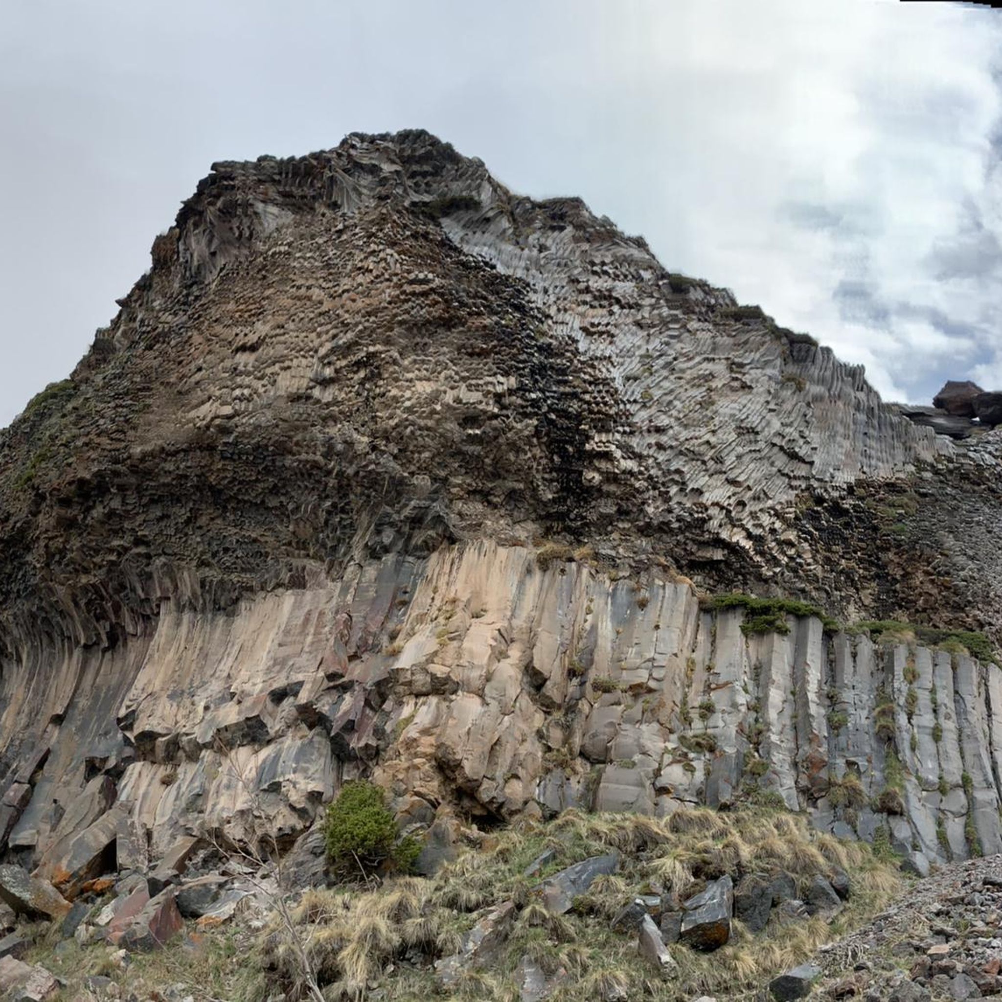
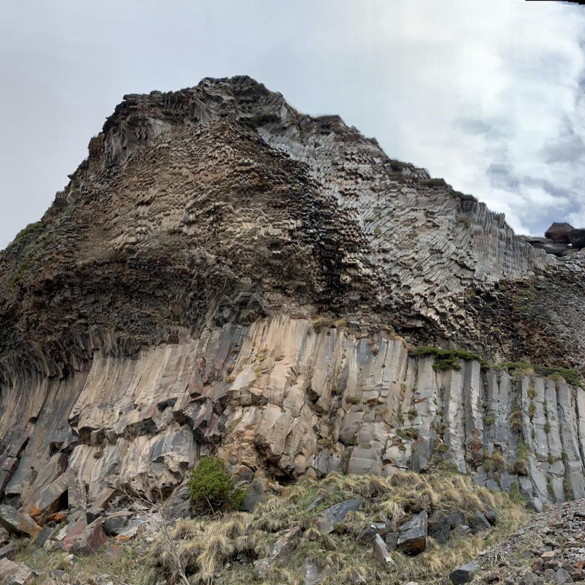
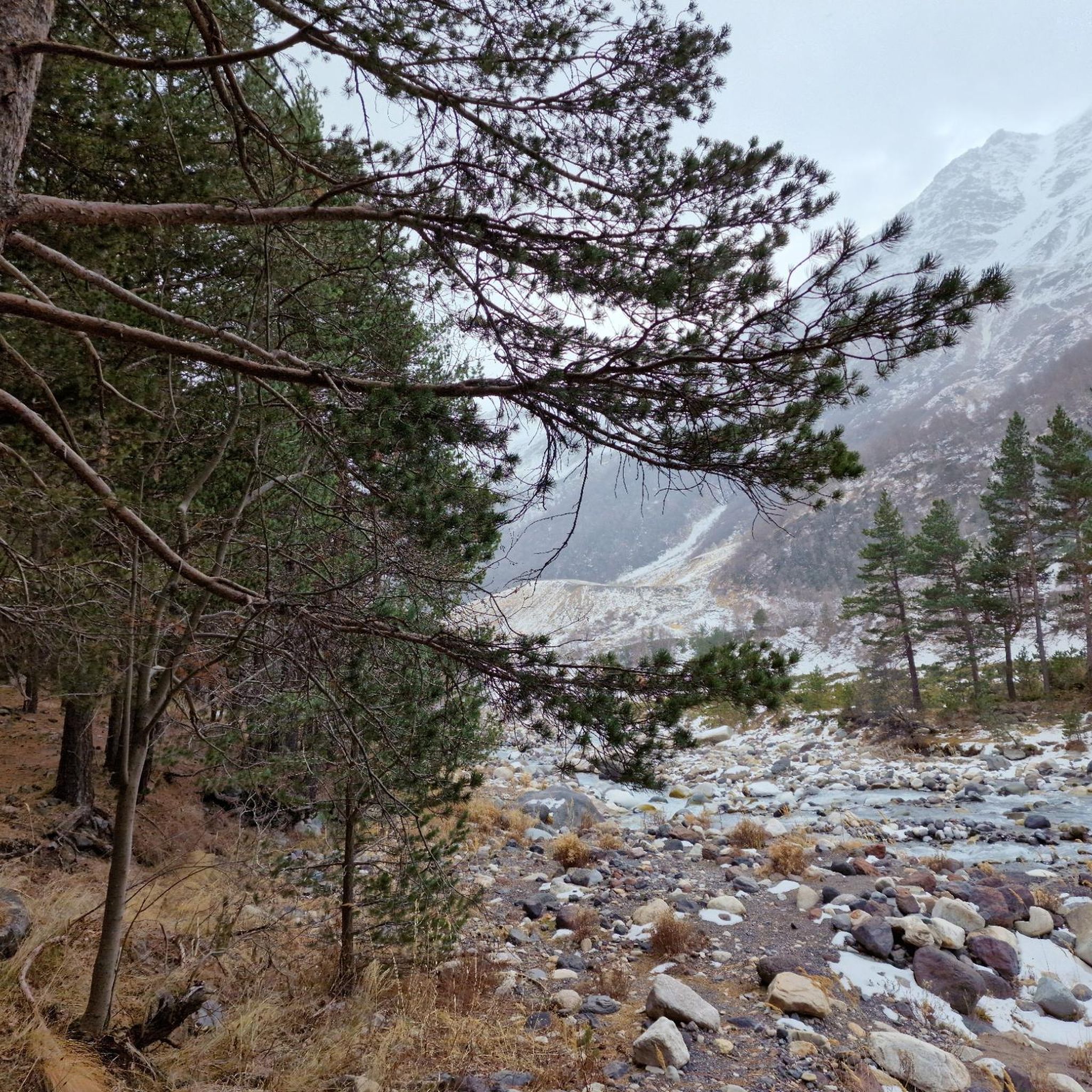
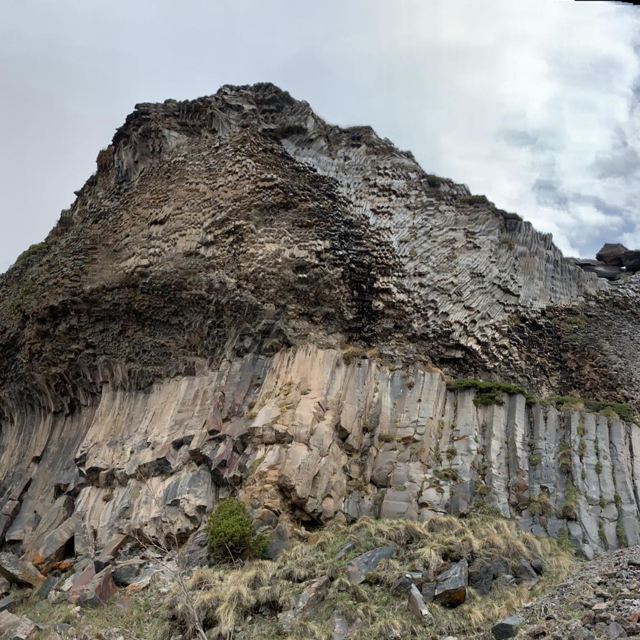

Tips from the Community

We take a Delica to Mazeri and begin walking along an easy, steep, and easy-to-find path that leads directly to Georgia's most powerful waterfall.
0
0

Nice path along the river with regular view of Mount Ushba.
0
0
The path is still quite good here. Later, after crossing the river, it goes up steeply and follows a long and arduous climb.
1
0

A very varied path along the glacier river. Deciduous and coniferous forests alternate with impressive views of the surrounding mountains. There are two rest areas on the way where you can maybe buy some food again after the pandemic.
1
0
Very varied valley, sometimes quite stony path.
0
0
Frequently Asked Questions
How many running routes are available in Kabardino-Balkaria?
There are over 10 running routes available for jogging in Kabardino-Balkaria, offering a variety of experiences across its diverse terrain.
Are there easy running routes suitable for beginners in Kabardino-Balkaria?
Yes, Kabardino-Balkaria offers routes suitable for beginners. For instance, the Долинское поселение loop from Nalchik is a moderate 5.7-mile path with minimal elevation gain, ideal for a less strenuous run.
What kind of terrain can I expect on jogging routes in Kabardino-Balkaria?
You can expect a wide range of terrain, from challenging high-altitude trails in the Caucasus Mountains to gentler paths through extensive alpine meadows and deep gorges. The region features glacial-fed rivers, dense forests at lower altitudes, and sub-alpine environments, providing varied surfaces and scenery for your run.
Are there challenging trail running options with significant elevation gain?
Absolutely. Kabardino-Balkaria is known for its demanding routes. The Running loop from Terskol is a difficult 11.8-mile trail with over 1,000 meters of elevation gain, perfect for experienced trail runners seeking a challenge.
Can I find jogging routes that pass by waterfalls in Kabardino-Balkaria?
Yes, the region is home to several impressive waterfalls. The Dzhily-Su Tract, on the northern slope of Elbrus, features magnificent waterfalls like "Sultan." While not directly on a listed route, the Waterfall in the Prielbrusye Nature Reserve is a notable attraction you might find near some trails.
Are there running trails with scenic views of Mount Elbrus?
Many routes in Kabardino-Balkaria offer breathtaking views of Mount Elbrus, Europe's highest peak. The Кахиани – Вид на Эльбрус loop from Terskol, for example, is specifically named for its views of Elbrus, providing stunning backdrops for your run.
What natural attractions can I see while running in Kabardino-Balkaria?
Beyond the majestic mountains, you can encounter diverse natural attractions. These include vast alpine meadows, deep gorges like the Chegem and Tyzyl, and glacial features. You might also find yourself near beautiful lakes such as Lake Syltrankel or the Campsite by the Lake, offering serene spots along your journey.
Are there running routes near the city of Nalchik?
Yes, there are running options close to Nalchik. The Долинское поселение loop from Nalchik is a popular moderate route that offers a convenient running experience near the city.
Can I find jogging trails within Prielbrusye National Park?
Prielbrusye National Park, centered around Mount Elbrus, offers various trails suitable for jogging. These include paths like the Baksan Valley Hike and the Narzan Springs Loop, providing opportunities to run amidst dramatic mountainous terrain and alpine meadows. For more information on the park, you can visit the National Parks Association website.
What is the best time of year for trail running in Kabardino-Balkaria?
The warmer months, typically late spring to early autumn, are generally best for trail running in Kabardino-Balkaria. During this time, alpine meadows are vibrant, and the weather is more favorable for exploring the higher altitudes. Winter offers unique challenges and snow-covered landscapes for those prepared for cold-weather running.
Are there loop running routes available in the region?
Yes, many of the running routes in Kabardino-Balkaria are designed as loops, allowing you to start and finish at the same point. Examples include the Донгуз-Орун-Кёль loop from Азау and the Эльбрусское озеро loop from Terskol.
What do other runners enjoy the most about jogging in Kabardino-Balkaria?
The running routes in Kabardino-Balkaria are highly rated by the komoot community, with an average score of 5.0 stars. Runners often praise the majestic mountain backdrops, the pristine nature, and the variety of terrain that caters to different fitness levels, from serene valley runs to challenging high-altitude climbs.
Are there any specific permits required for running in certain areas?
Some areas, particularly within protected zones like the Kabardino-Balkarski Nature Reserve or Prielbrusye National Park, may require permits or have designated access points. It's advisable to check local regulations for specific high-mountain paths or sensitive ecological areas before your run. You can find more details about the Kabardino-Balkarski Nature Reserve on Wikipedia.
Most popular routes in Kabardino-Balkaria
Most popular attractions in Kabardino-Balkaria

Get inspired with the komoot mobile app


Explore more
Browse the best Running Trails & Routes in other regions.
