The best walks and hikes around Mellau
4.4
(1646)
8,063
hikers
45
hikes
Hiking around Mellau, nestled in Austria's Bregenzerwald region, offers diverse landscapes for outdoor enthusiasts. The area features steep mountains, including the prominent Kanisfluh Massif, alongside gently undulating alpine meadows and extensive forest trails. The Bregenzerache river provides tranquil paths, while higher elevations offer panoramic views of the surrounding alpine world.
Best hiking trails around Mellau
- The most popular hiking route is Mellau: in ibex territory on the Kanisfluh, a 5.9 miles (9.5 km) difficult trail that takes about 4…
Last updated: October 1, 2026
4.8
(572)
2,655
hikers
9.51km
03:59
610m
610m
Hard hike. Good fitness required. Sure-footedness, sturdy shoes and alpine experience required.
4.8
(44)
194
hikers
15.3km
06:41
1,060m
1,050m
Hard hike. Very good fitness required. Sure-footedness, sturdy shoes and alpine experience required.

4.4
(140)
657
hikers
13.4km
05:01
900m
900m
Hard hike. Very good fitness required. Easily-accessible paths. Suitable for all skill levels.
4.5
(59)
319
hikers
5.17km
01:37
210m
210m
Easy hike. Great for any fitness level. Easily-accessible paths. Suitable for all skill levels.
4.8
(25)
147
hikers
8.90km
04:03
750m
750m
Moderate hike. Good fitness required. Mostly accessible paths. Sure-footedness required.
Get access to more routes and recommendations from other explorers.
Already have an account?
Our route recommendations are based on thousands of hikes, rides, and runs completed by other people on komoot.
Start today with a free account
Your next adventure awaits.
Popular around Mellau
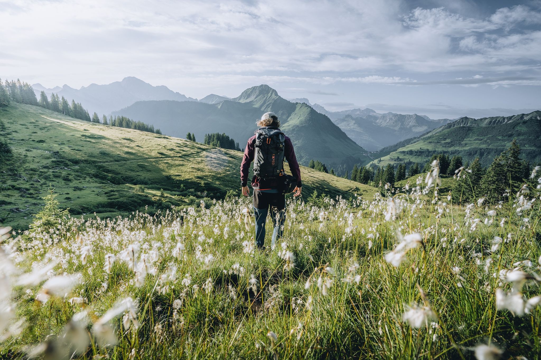
Pure joy on summit hikes in the Bregenzerwald
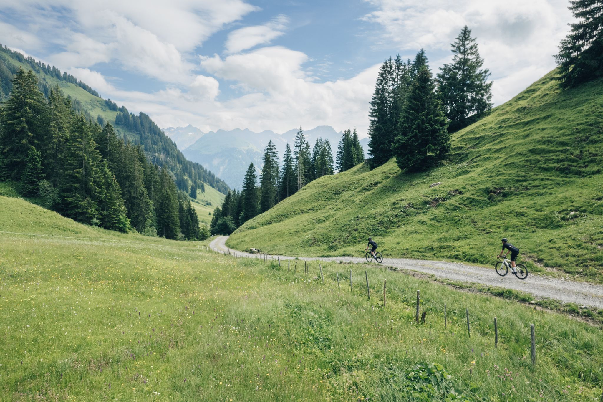
Gravel bike adventures in the Bregenzerwald
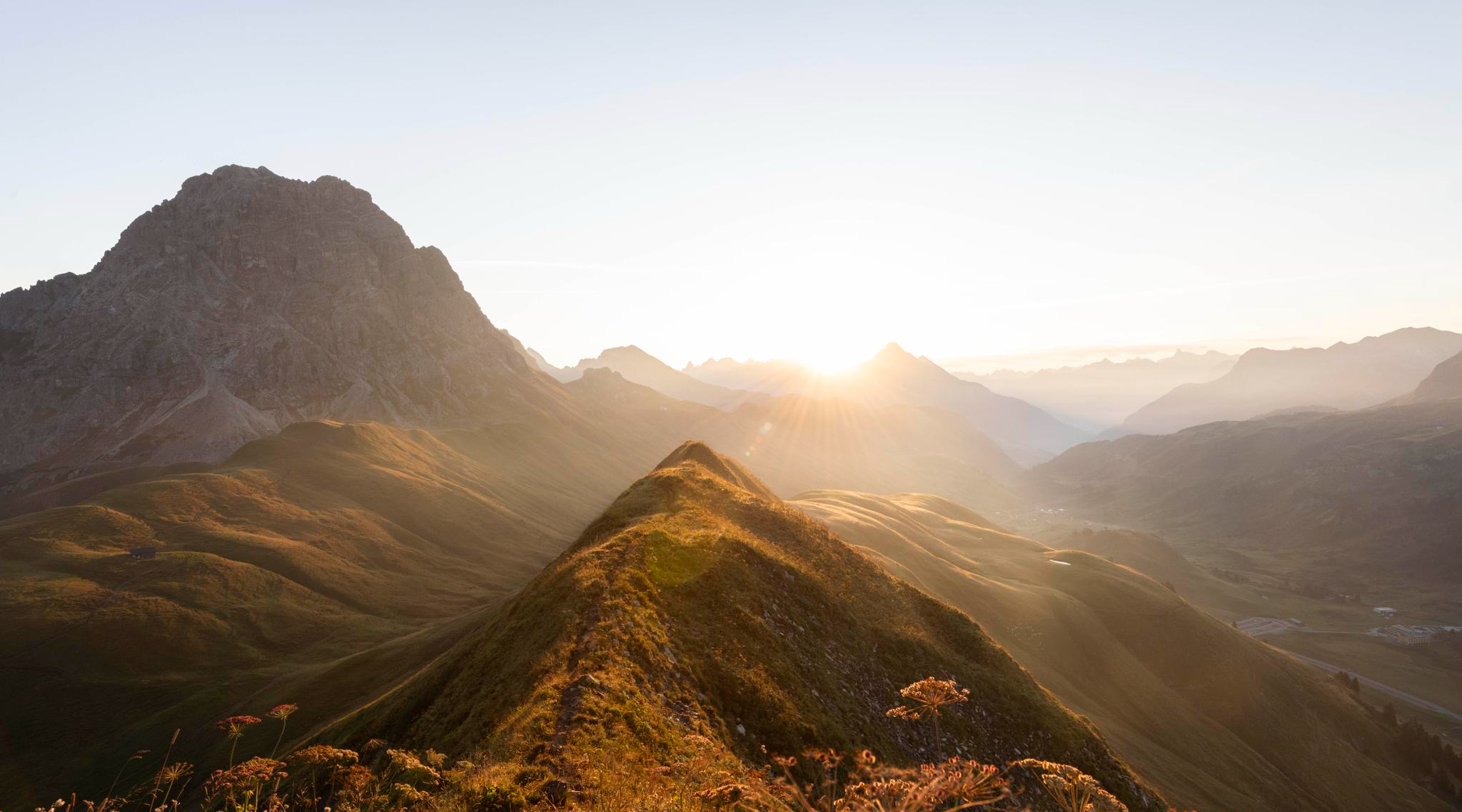
Hoch hinaus im Herbst – Wanderungen im Bregenzerwald
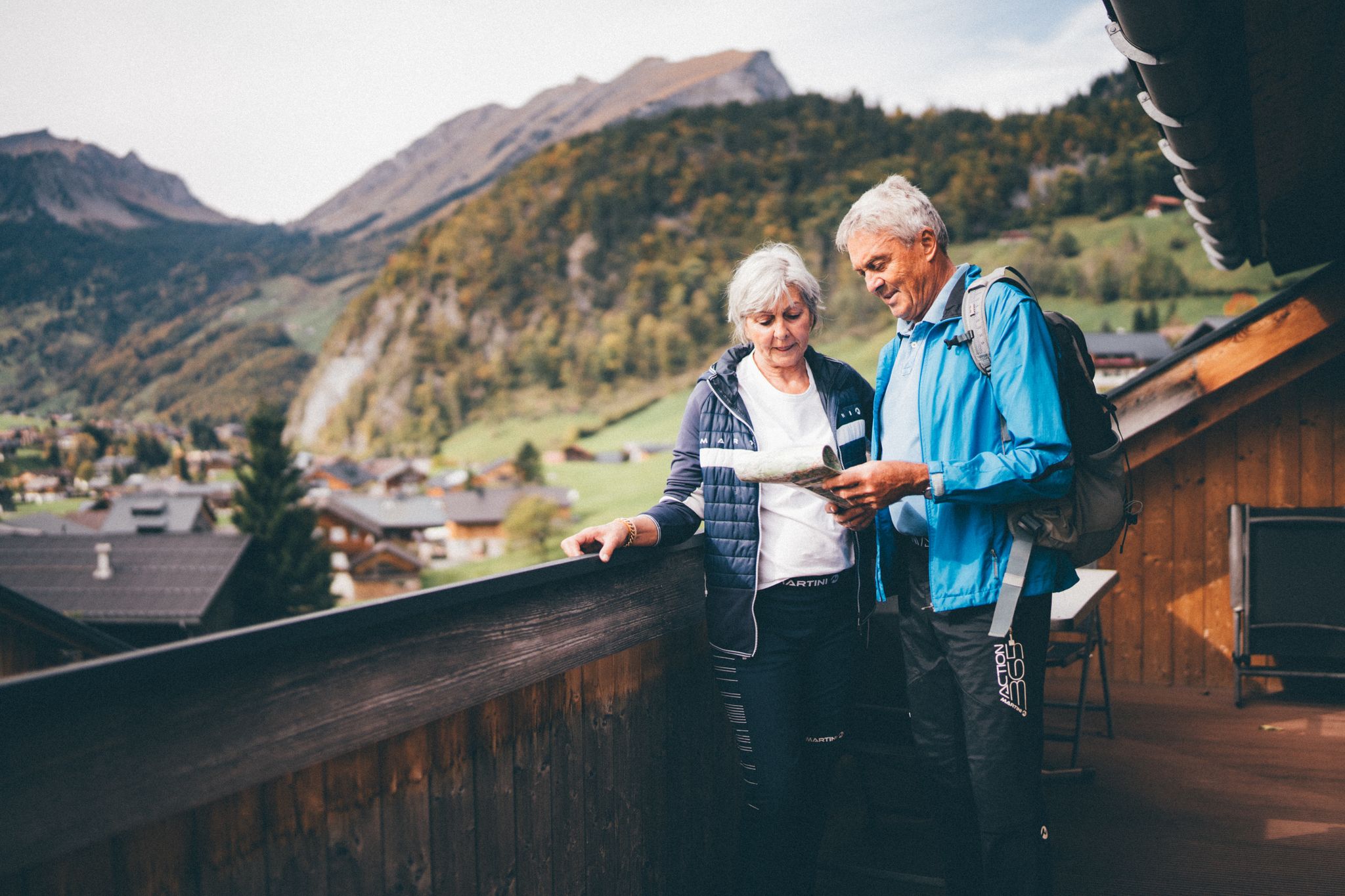
Natur erleben: Dein Wanderurlaub am Bauernhof
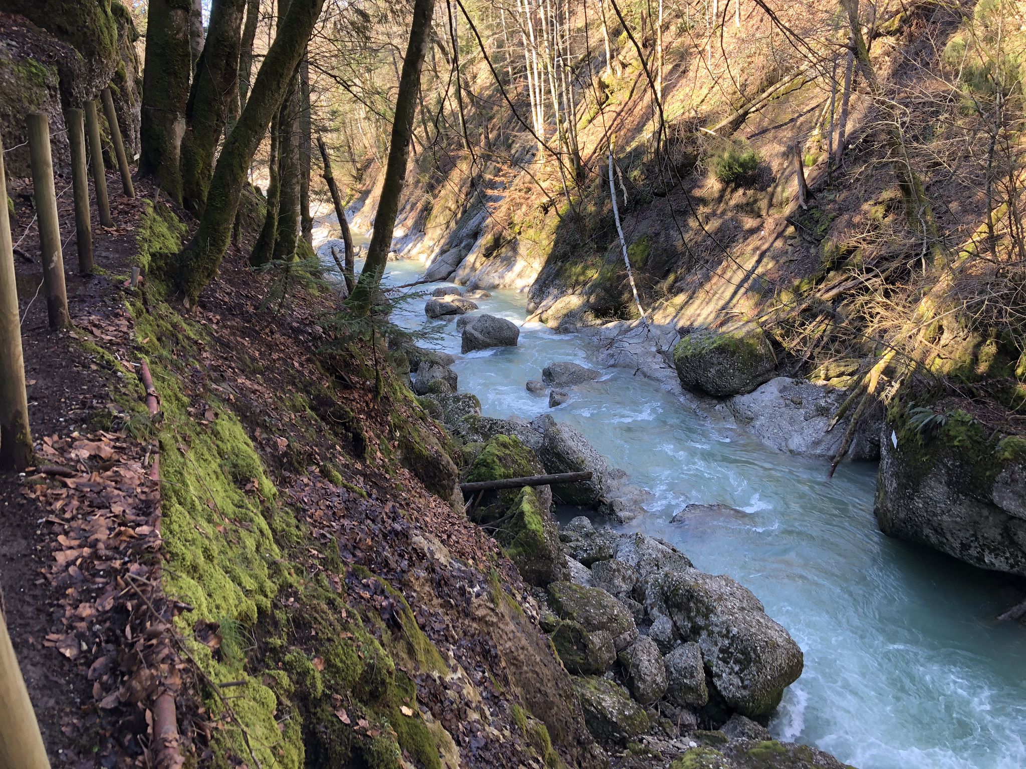
Die schönsten Wege zum Wasser im Bregenzerwald
Gravel biking around Mellau
MTB Trails around Mellau
Road Cycling Routes around Mellau
Cycling around Mellau
Running Trails around Mellau
Other adventures around Mellau


Tips from the Community

The Dösbrücke (also called Mellenbachbrücke) is a listed, covered wooden bridge in the municipality of Mellau in the Bregenzerwald (Vorarlberg, Austria). It is located in the parcel "Dösarbrugg" and leads directly over the Mellenbach stream.
0
0

It's great here in the Bregenzerwald!
2
0
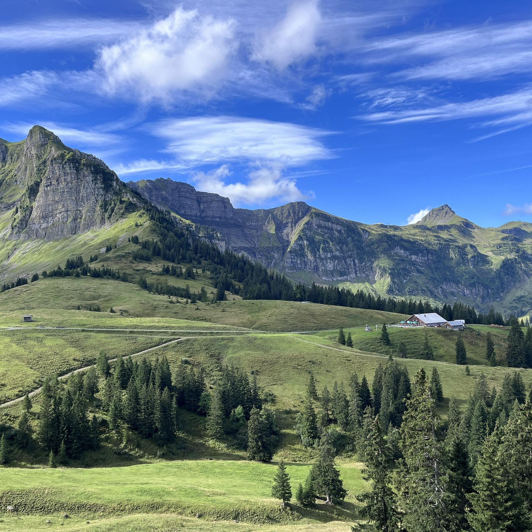
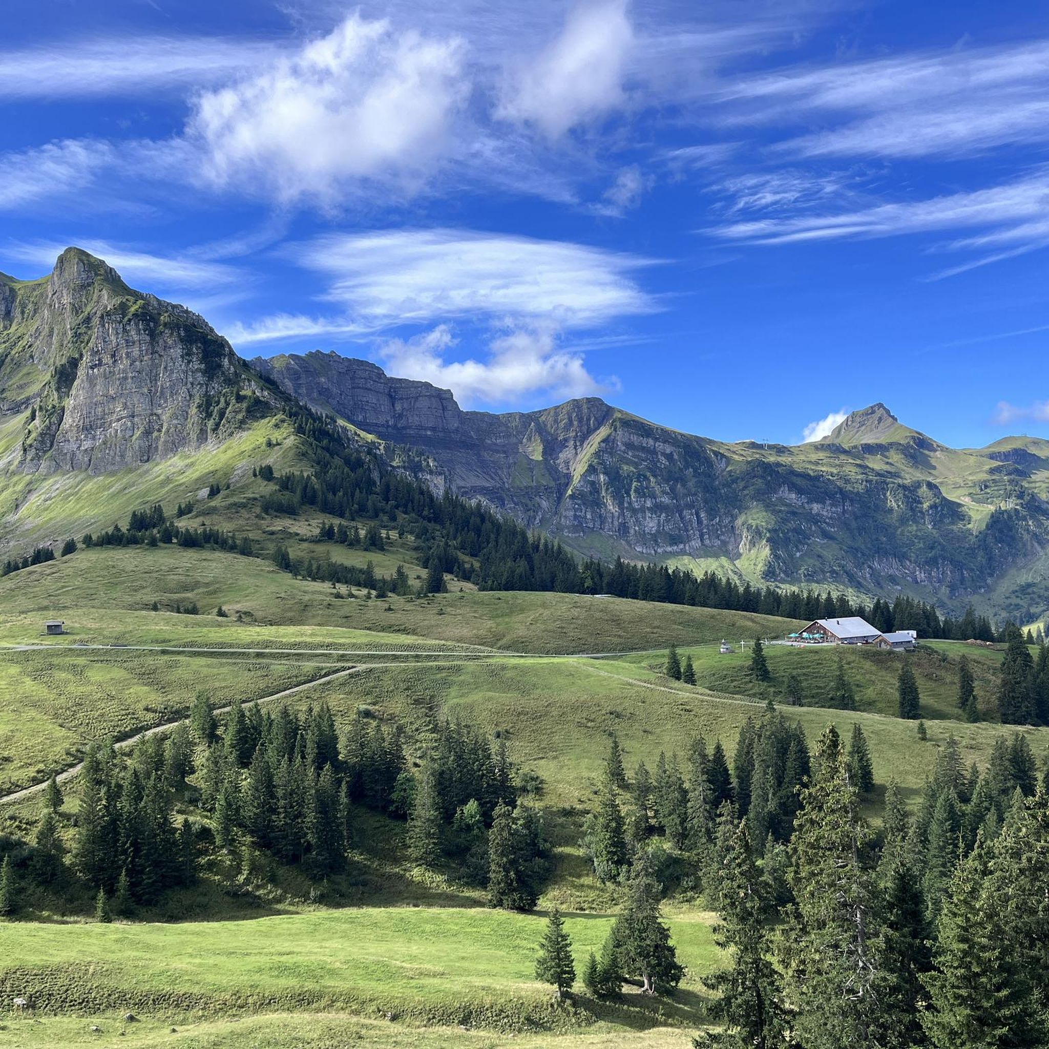
The Mellental valley near Mellau and the view over the Bregenzerwald with Winterstaude and the Pfänder mountain are simply beautiful.
2
0
Unfortunately, it is not cultivated in winter and is partially covered in deep snow.
2
0
The Rossstelle is now a modern self-service restaurant with a mountain hut character and a beautiful sun terrace.
2
0
A view of the Mellental valley behind Mellau.
4
0
A beautiful high valley with lush alpine pastures.
3
0
Here, several smaller mountain streams converge, forming a substantial waterfall not far from Rossstelle.
3
0
Frequently Asked Questions
How many hiking trails are available around Mellau?
Mellau offers a comprehensive network of over 45 marked hiking trails. These routes cater to all skill levels, from leisurely strolls through alpine meadows to challenging mountain expeditions up prominent peaks.
Are there easy hiking trails suitable for beginners in Mellau?
Yes, Mellau has 17 easy hiking trails perfect for beginners or those seeking a relaxed walk. A great option is the Alpe Wurzach – View of Kanisfluh loop from Roßstelle, which is just over 6 km long and offers beautiful views without significant elevation.
Where can I find challenging hikes with significant elevation gain around Mellau?
For experienced hikers, Mellau features 8 difficult trails that offer substantial elevation gain and rewarding views. Consider the demanding Mellau: Auf die Hangspitze, a 15.3 km route leading to the 1,746-meter peak with extensive panoramic vistas.
Are there family-friendly hiking options in Mellau?
Absolutely. Mellau and the surrounding Bregenzerwald region offer several family-friendly hikes. A notable example is the 'Goatherd's path' in Bizau, which features five sensory stations along its gravel, forest, and dirt trails, making it an engaging experience for children.
Which hikes offer the best panoramic views of the Bregenzerwald?
Many trails in Mellau provide stunning panoramic views. The Mellau: in ibex territory on the Kanisfluh route ascends towards the prominent Kanisfluh Massif, offering breathtaking views stretching to Lake Constance. For other high-altitude perspectives, consider exploring peaks like the Hohe Kugel summit or the Diedamskopf Summit.
Can I find circular hiking routes in Mellau?
Yes, Mellau has several excellent circular routes. The Rossstelle Mountain Station – Panoramic View of Mellau loop from Mellau is a popular 13.3 km moderate trail that provides scenic overlooks of Mellau and the surrounding mountains.
Are there any hiking trails that lead to waterfalls near Mellau?
Yes, the region around Mellau is home to beautiful waterfalls. You can explore trails that lead to natural wonders such as the Staufensee Waterfall and Dam or the Rehmer Bach Waterfall. These offer refreshing stops and picturesque scenery.
What is the best time of year to go hiking in Mellau?
The best time for hiking in Mellau is typically from late spring to early autumn (May to October). During these months, the alpine meadows are lush, and the weather is generally favorable for exploring the diverse trails. Some higher routes might still have snow in early spring or late autumn.
Are there options for culinary experiences along the hiking trails?
Yes, Mellau offers 'Culinary Summer Hikes' which combine nature enjoyment with regional gastronomy. These experiences allow hikers to stop at selected restaurants and alpine pastures that focus on local and seasonal products, providing a unique taste of the Bregenzerwald.
What do other hikers enjoy the most about hiking in Mellau?
The hiking trails in Mellau are highly rated by the komoot community, with an average score of 4.4 stars from over 1,300 reviews. Hikers often praise the diverse landscapes, from steep mountains and panoramic views to tranquil forest paths and alpine meadows, as well as the well-maintained trail network.
Can I use public transport to access hiking trails in Mellau?
Mellau is well-integrated into the regional public transport network. Many trailheads are accessible via local buses, especially during the main hiking season. The Bregenzerwald Guest Card often includes free use of public transport, making it convenient to reach various starting points without a car.
Are there any unique natural features to look out for on Mellau's trails?
Yes, the region boasts several unique natural features. The prominent Kanisfluh Massif is a symbol of the Bregenzerwald, offering stunning geological formations. Additionally, the Waldalpe features several protected sycamore trees that provide shade and a unique natural spectacle along certain routes.
Most popular routes around Mellau
Most popular attractions around Mellau

Get inspired with the komoot mobile app


Explore more
Browse the best Hikes in other regions.
