The best running trails around the Desna
3.9
(10)
2,531
runners
27
runs
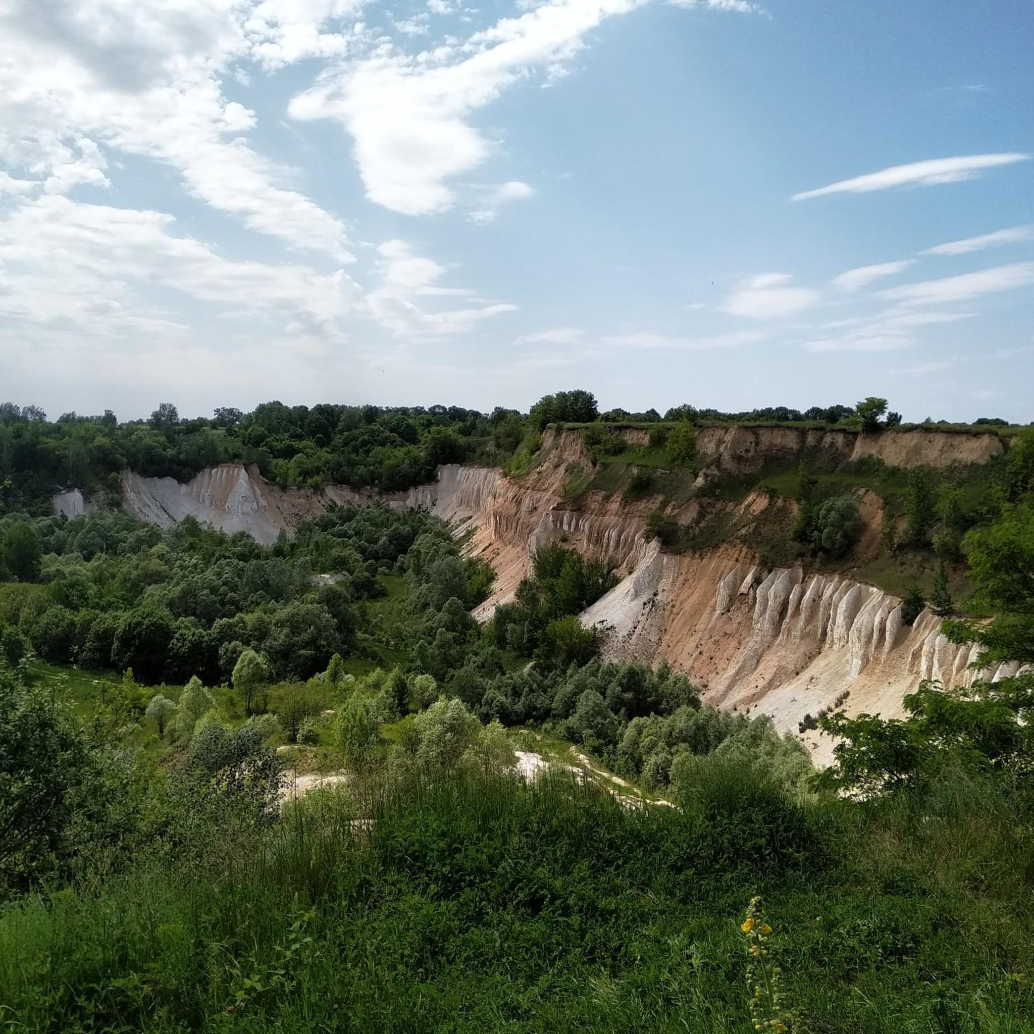
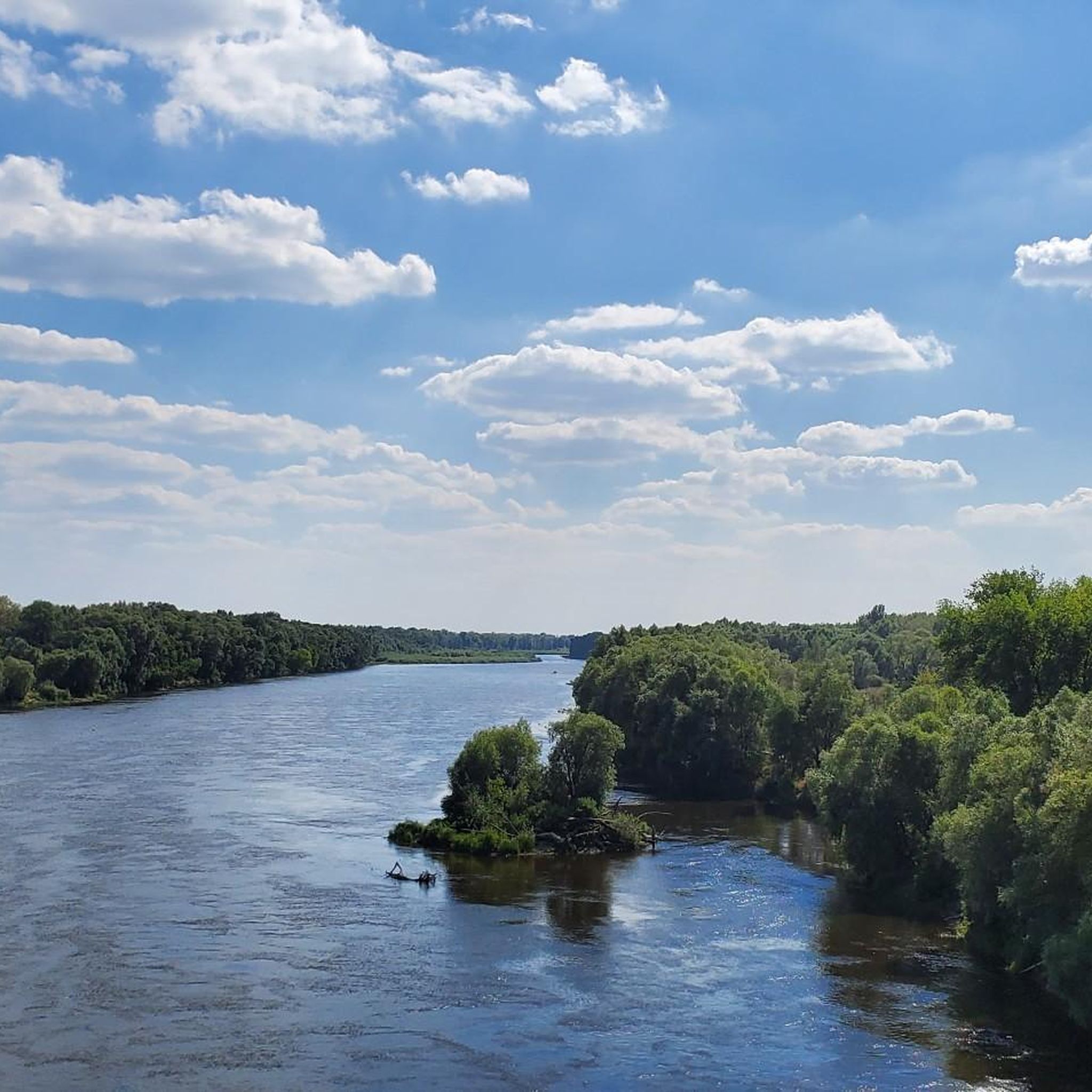
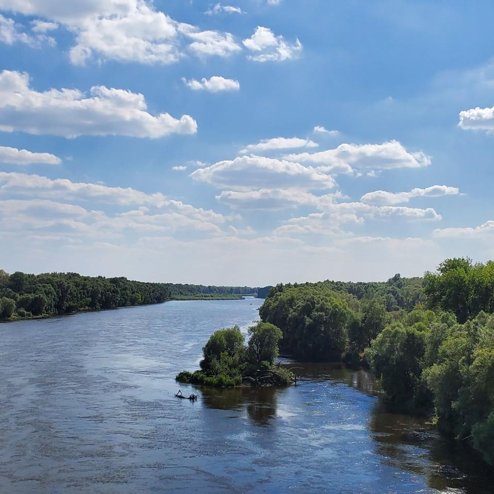
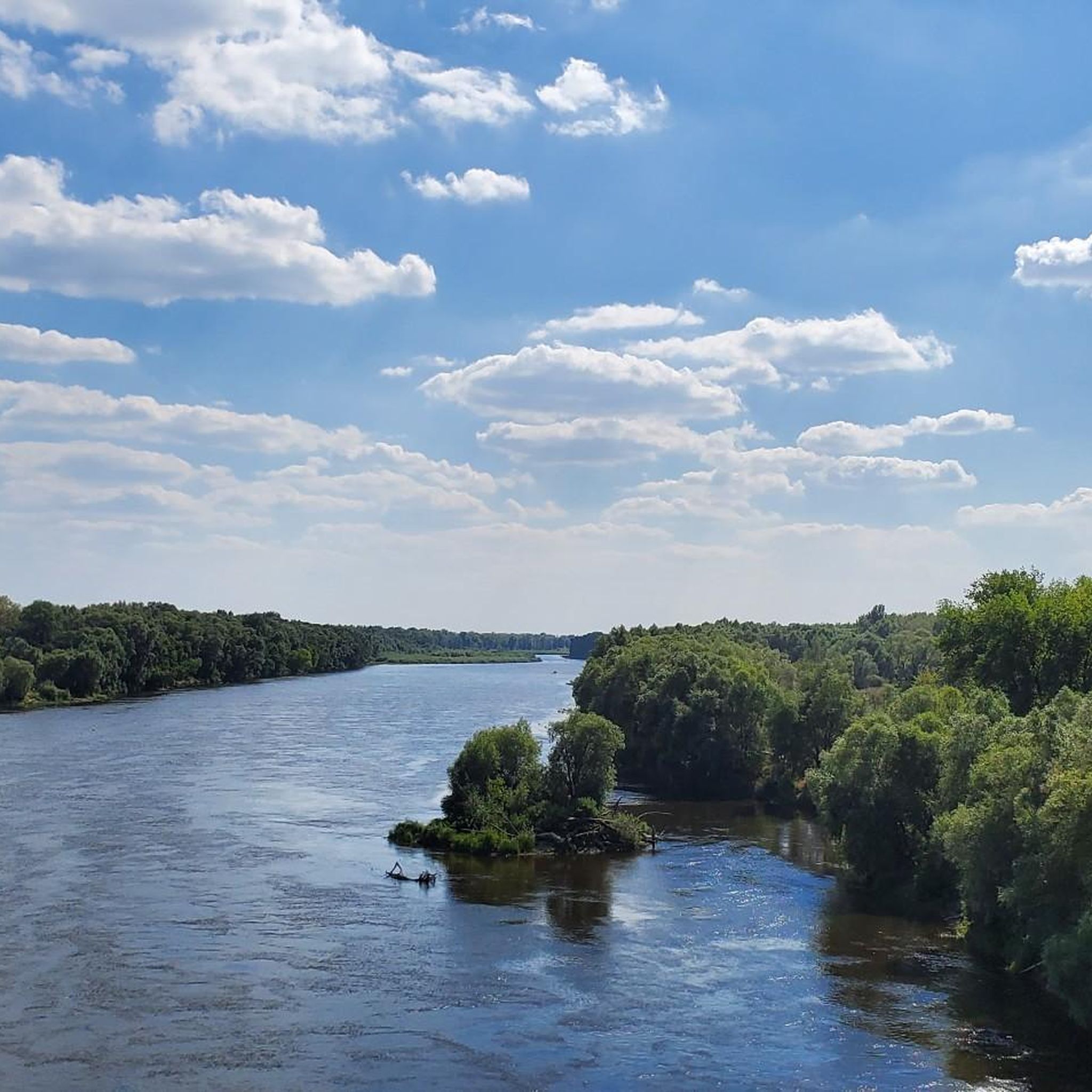
Jogging around the Desna offers access to a region characterized by its extensive river floodplains and wide meadows, providing expansive, relatively flat terrain. The area features diverse ecosystems, including both pine and deciduous forests, which offer varied running conditions. Numerous oxbow lakes and waterways, formed by the meandering Desna River, add picturesque elements to the landscape. The terrain along the Desna river for jogging is generally flat, making it accessible for various fitness levels.
Best jogging routes around the Desna
…Last updated: July 4, 2026
4.7
(6)
401
runners
11.5km
01:15
80m
80m
Moderate run. Good fitness required. Mostly paved surfaces. Suitable for all skill levels.
135
runners
19.8km
02:05
100m
100m
Hard run. Very good fitness required. Mostly paved surfaces. Suitable for all skill levels.

Sign up for free
109
runners
15.1km
01:40
30m
30m
Hard run. Very good fitness required. Mostly paved surfaces. Suitable for all skill levels.
64
runners
12.4km
01:19
50m
60m
Moderate run. Good fitness required. Mostly paved surfaces. Suitable for all skill levels.
56
runners
Moderate run. Good fitness required. Mostly paved surfaces. Suitable for all skill levels.
36
runners
16.9km
01:48
90m
90m
Hard run. Very good fitness required. Mostly paved surfaces. Suitable for all skill levels.
31
runners
17.0km
01:48
100m
100m
Hard run. Very good fitness required. Mostly paved surfaces. Suitable for all skill levels.
14
runners
Hard run. Very good fitness required. Mostly paved surfaces. Suitable for all skill levels.
14
runners
8.00km
00:52
30m
30m
Moderate run. Good fitness required. Mostly paved surfaces. Suitable for all skill levels.
15
runners
13.1km
01:25
160m
160m
Moderate run. Good fitness required. Mostly paved surfaces. Suitable for all skill levels.
Get access to more routes and recommendations from other explorers.
Sign up for free
Already have an account?
Our route recommendations are based on thousands of hikes, rides, and runs completed by other people on komoot.
Start today with a free account
Your next adventure awaits.
Login or Signup
Tips from the Community

Unfortunately, now the monument is in a protective frame and you will not see it
0
0


The monument to the founders of Kiev (Ukrainian Пам’ятний знак на честь заснування міста Києва) is a group of sculptures built on May 22, 1982 for the 1500th anniversary of Kiev and a landmark of the Ukrainian capital Kiev. It is supposed to commemorate the legendary founders of Kiev. It represents a nine meter long boat that is carried by three waves. Kyj and his brothers Shchek and Horiv stand in the stern of the boat, while sister Lybiddie stands at the bow of the boat with outstretched arms. The monument created by Vasyl Sakharovych Borodai stands on a red granite slab in a round fountain on the Dnepr promenade in Navodnyzkyj Park and is made of forged copper and not brass, as the sculptor actually intended. The 4.3 m high sculptures of the men are filled with glass concrete, the 3.8 m high Lybiddie is hollow. [2] In 2010 the monument was renovated
0
0
The combined road and underground bridge has five arches and is almost on the site of the Nikolaus Chain Bridge that stood here until 1920. It leads from the right Dneprufer (metro station Dnipro) to the Venetsianskyi island with the Hidropark (metro station Hidropark) on top. The chief engineer of the bridge, which opened on November 5, 1965, was the Kiev architect Heorhij Fuks. The bridge is 684.5 m long, 28 m wide and is 20 m above the river. [2] It has a two-tier structure. At the top there are two tracks for the Kiev metro, at the bottom the bridge has four lanes for road traffic
0
0

The monument to the founders is one of the hallmarks of Kiev. You should definitely see it. It's good to get there by bike. In the summer in the evening there are lights and fountains.
0
0

Muromets Park paved bike path https://vimeo.com/534754073
0
0

small orthodox church on the bank of the Dnieper. Benches and seating are nearby. A quiet place to stay.
0
0
Frequently Asked Questions
How many running routes are available around the Desna River?
There are over 25 dedicated running routes available around the Desna River, catering to various fitness levels. These routes are highly rated by the komoot community, with an average score of 3.9 stars.
What kind of terrain can I expect on jogging trails near the Desna?
The terrain around the Desna River is generally flat, characterized by extensive river floodplains and wide meadows. You'll also find diverse ecosystems, including both pine and deciduous forests, offering varied running conditions. The river's winding course and numerous branches create a dynamic and visually interesting landscape, often with oxbow lakes and sandbanks.
Are there any easy running routes suitable for beginners or a relaxed jog?
Yes, the Desna area offers several easy running paths. For a relaxed experience, consider the Райдужне озеро (Радунка) loop from Райдужний, which is just over 5 miles (8.2 km) and features minimal elevation gain, making it perfect for a gentle run.
What are some longer distance running options around the Desna?
For those seeking a longer challenge, the Start of Trukhaniv Trail – Trukhaniv Island Dirt Path loop from Trukhaniv Island offers a difficult 12-mile (19.3 km) route. Another option is the Kyiv Metro Bridge – Parkovy Bridge loop from Дніпро, a challenging 12.2-mile (19.6 km) path with scenic views along the Dnieper River.
Are there any circular running routes in the Desna area?
Many of the running routes around the Desna are circular, allowing you to start and finish at the same point. For example, the Parkovy Bridge loop from Trukhaniv Island is a popular moderate 7.1-mile (11.5 km) circular trail that explores the green spaces of Trukhaniv Island.
What kind of natural features or landmarks can I see while running?
While running near the Desna, you can enjoy picturesque river views, wide floodplain meadows, and dense forests. Many routes, particularly those around Trukhaniv Island, offer views of the Dnieper River. You might also encounter oxbow lakes and sandbanks formed by the river's meandering course. Notable landmarks in the broader area include the Trukhaniv Island itself, the Kyiv Founders Monument, and the impressive Motherland Monument.
Is the Desna River area suitable for family-friendly running or jogging with children?
Yes, the generally flat terrain and scenic natural environment make many sections of the Desna area suitable for family-friendly running. Look for routes with lower difficulty ratings and shorter distances. The wide floodplain meadows offer open spaces for children to enjoy the outdoors.
Are dogs allowed on the running trails around the Desna?
While specific regulations can vary, many natural areas and trails in Ukraine, especially in less developed regions, are generally dog-friendly. However, if you plan to run within designated national nature parks like Desna-Stara Huta, it's advisable to check their specific rules regarding pets, as some areas might require dogs to be on a leash or restrict access to protect wildlife.
When is the best time of year to go jogging along the Desna River?
The Desna River area is beautiful throughout the warmer months. Spring and autumn offer pleasant temperatures and vibrant scenery, with migratory birds often visible in the floodplains. Summer is also suitable, though the dense forests provide welcome shade on warmer days. Winter running is possible, but conditions will depend on snow and ice, especially on less maintained paths.
Are there any specific access requirements or permits needed for running in certain areas?
Generally, access to the natural areas around the Desna River for activities like jogging is open. However, if you plan to explore within a designated national nature park, such as the Desna-Stara Huta National Nature Park, there might be specific regulations or designated eco-trails. It's always a good idea to check local park guidelines if you venture into protected areas.
What are the options for parking near the running routes?
While specific parking information for every route isn't always available, many popular starting points for trails, especially those closer to urban areas like Kyiv, will have designated parking areas or roadside parking options. For routes starting from Trukhaniv Island, access points often have nearby parking facilities. It's recommended to check the route details on komoot for specific starting points and potential parking suggestions.
Most popular routes around the Desna
Most popular attractions around the Desna

Get inspired with the komoot mobile app


Explore more
Browse the best Running Trails & Routes in other regions.
